The best gravel rides in Dane County
5.0
(2)
64
riders
6
rides
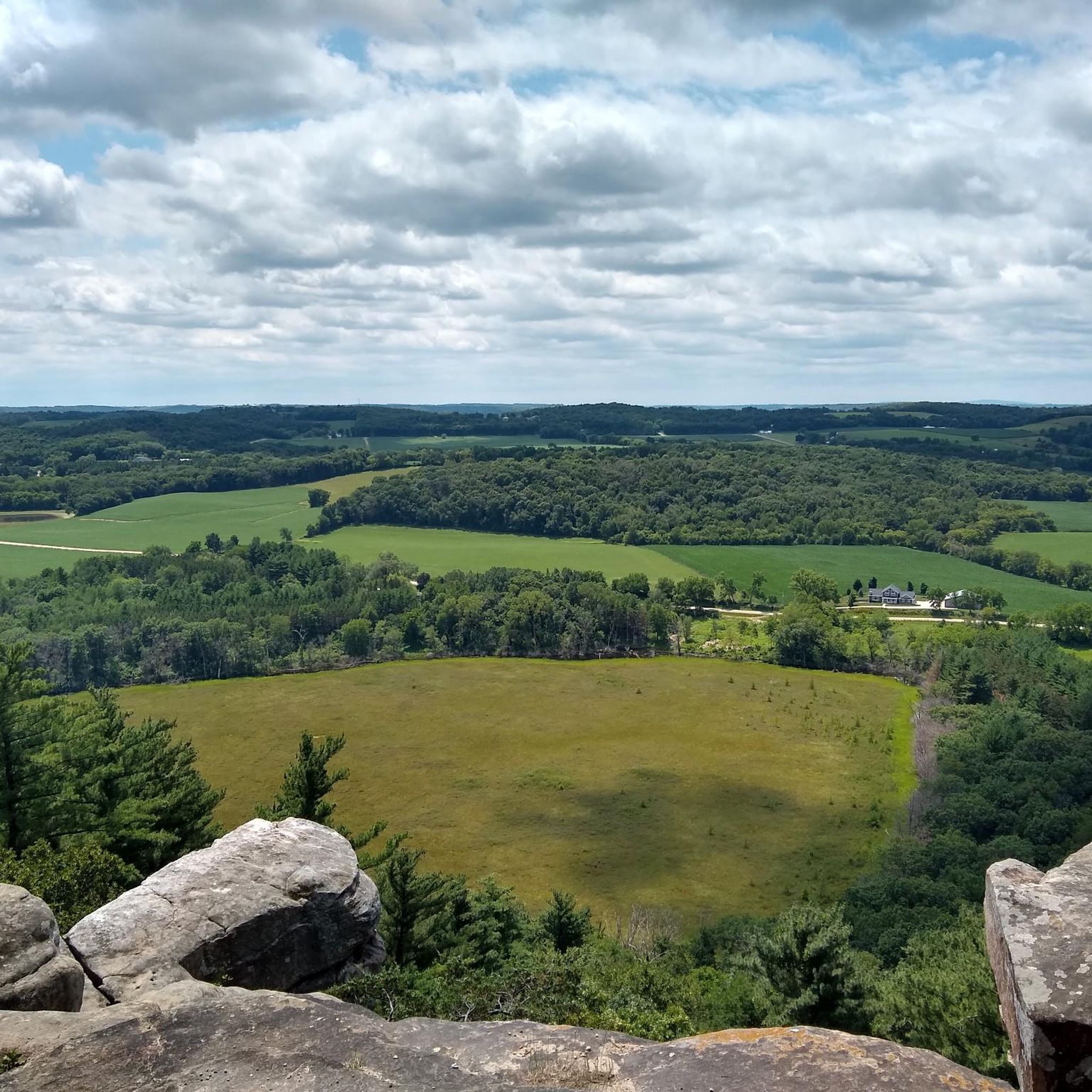
Gravel biking in Dane County offers diverse landscapes characterized by extensive trail networks and varied terrain. The region features a mix of forests, prairies, wetlands, and oak woodlands, many of which are actively restored. Glacial features, such as terminal moraines and segments of the Ice Age National Scenic Trail, contribute to the unique topography. Many routes follow crushed limestone paths, connecting natural areas and offering views of rivers and lakes.
Best gravel bike trails in Dane County
- The most popular gravel bike trail is Sugar River Wetlands – The Turtle Watch Bridge loop from Verona, a 40.3 miles (64.8 km) trail that takes 3 hours 20 minutes to complete. This moderate route explores the Sugar River Wetlands, offering a mix of natural scenery.
- Another top favourite among local gravel bikers is The Turtle Watch Bridge – Sugar River Wetlands loop from Mount Horeb, a moderate 21.6 miles (34.7 km) path. This route leads through wetlands and rural landscapes.
- Local gravel bikers also love the Dunn's Marsh – Dawley Conservancy Park loop from Raymond & Leland (EB), a 29.9 miles (48.1 km) trail leading through marshland and park areas, often completed in about 2 hours 19 minutes.
- Gravel biking in Dane County is defined by crushed limestone rail trails, diverse conservancies with woodlands and prairies, and routes along river and lake views. The network offers options for various ability levels, from easy loops to more challenging long-distance rides.
- The routes in Dane County are highly rated by the komoot community with an average score of 4.5 stars from over 3 reviews. More than 49 gravel bikers have used komoot to explore Dane County's varied terrain.
Last updated: October 1, 2026
19
riders
98.3km
05:02
520m
520m
Hard gravel ride. Very good fitness required. Mostly paved surfaces. Suitable for all skill levels.
5.0
(1)
14
riders
49.1km
02:22
180m
180m
Moderate gravel ride. Good fitness required. Mostly paved surfaces. Suitable for all skill levels.

6
riders
20.4km
01:03
70m
70m
Easy gravel ride. Great for any fitness level. Mostly paved surfaces. Suitable for all skill levels.
9
riders
97.2km
04:51
340m
340m
Moderate gravel ride. Good fitness required. Mostly paved surfaces. Suitable for all skill levels.
7
riders
Moderate gravel ride. Good fitness required. Mostly paved surfaces. Suitable for all skill levels.
5.0
(1)
9
riders
Easy gravel ride. Great for any fitness level. Mostly paved surfaces. Suitable for all skill levels.
Our route recommendations are based on thousands of hikes, rides, and runs completed by other people on komoot.
Start today with a free account
Your next adventure awaits.
Popular around Dane County





Other adventures in Dane County

Tips from the Community

All segments have full facilities along the trail with parking water & restrooms.
0
0
The Military Ridge State Trail follows an old railroad corridor through the rolling hills and farmland of southwestern Wisconsin, connecting Madison-area communities with Mount Horeb, Ridgeway, and Dodgeville. The crushed-limestone surface, gentle railroad grades, and frequent trail towns make it an excellent longer ride. It breaks nicely into three manageable out-and-back segments: Segment 1: Velo UnderRound to the Mount Horeb Station, 32.5 miles; Segment 2: Mount Horeb Station to the Ridgeway Railroad Station, 29.8 miles, or 31.7 miles with a detour up to Brigham Peak; and Segment 3: Ridgeway Railroad Station to Dodgeville, 18.5 miles. Segment 3 can also be extended into a 36.7-mile ride to Mineral Point using a variety of connecting routes. Taken together, the three segments offer an easy way to experience the western stretch of Military Ridge over several rides.
0
0
The village is historically famous for its incredible recovery after a devastating F5 tornado struck on June 8, 1984. The storm destroyed a large portion of the town, but residents rebuilt the community completely, celebrating their centennial in 2006. David Simpson founded the community in 1881 after offering a railroad right-of-way for $1 in exchange for a local depot. It was first called Simpsonville before being named Barneveld, likely after a railroad surveyor's Dutch hometown or a local's favorite poet. It officially incorporated as a village in 1906.
0
0
Right if the Glacial Drumlin State Trail. Public parking.
0
0
Free & open shrine with quiet grounds, small park, gazebo, garden, and admin building.
0
0

Dawley Conservancy Park is beautiful, covering 42 acres of woodlands, prairies, and wetlands. There are walking trails, abundant wildlife, and active conservation efforts aimed at restoring native plant communities. The park also connects to the Capital City State Trail, making it a scenic hub for local cyclists.
0
0

Library Park, in the heart of Belleville, is a hub for community life and historical significance. In 1851, the park was originally a public grazing ground and the site of early Native American trails. It became the location for Belleville's village hall, built in 1894, which also housed a library, firehouse, and jail. Today the park hosts holiday celebrations, fairs, concerts, and free summer movies. Visitors can use the water fountain, picnic tables, and a museum maintained by the Belleville Area Historical Society.
0
0
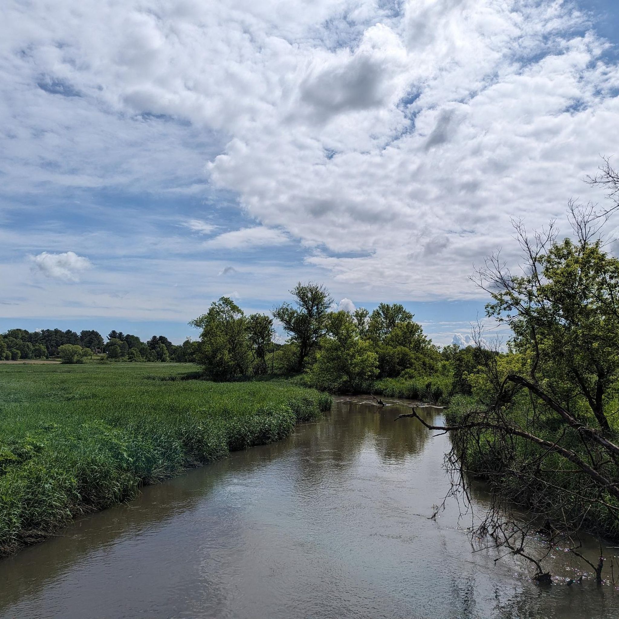
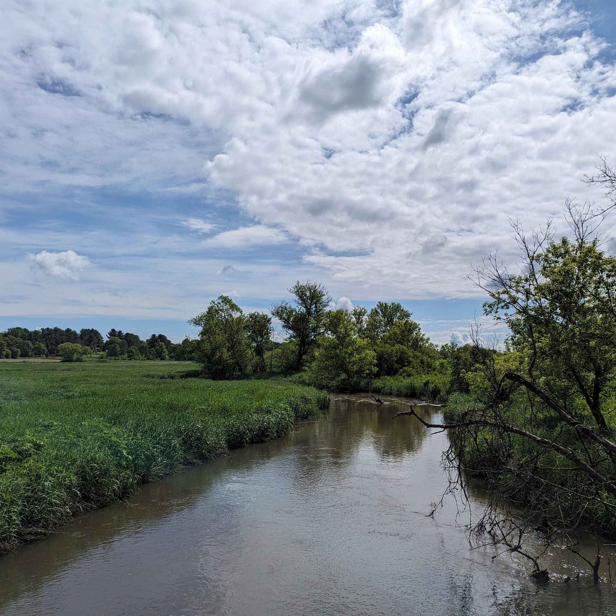
The Sugar River Wetlands is a rich wetland ecosystem that is home to sedge meadows, calcareous fens, emergent aquatic areas, shrub-carr, and wet-mesic prairies, and animal species and hosts southern Wisconsin’s most diverse fishery. Calcium-rich groundwater feeds the wetlands and the river with high-quality water.
0
0
Frequently Asked Questions
What kind of terrain can I expect on gravel bike trails in Dane County?
Dane County's gravel biking terrain is characterized by an extensive network of crushed limestone rail trails and paths through diverse conservancies. You'll encounter woodlands, prairies, and wetlands, with many routes offering scenic views along rivers and lakes. While traditional gravel roads are less common, the crushed limestone surfaces provide an excellent gravel biking experience.
Are there any easy gravel bike routes suitable for beginners in Dane County?
Yes, Dane County offers several easy gravel routes. For example, the Ice Age Trail Junction Area – Ice Age Trail Junction Area loop from Ice Age Trail Junction Area is an easy 18.6-mile (29.9 km) path, perfect for those new to gravel biking or looking for a relaxed ride through glacial landscapes.
What are some scenic natural features or landmarks I can see along Dane County's gravel trails?
Dane County's trails offer a variety of natural beauty. You can explore areas like Dawley Conservancy Park with its woodlands and prairies, or Pheasant Branch Conservancy, known for its diverse habitats. Many routes traverse landscapes shaped by glaciers, including segments of the Ice Age National Scenic Trail. You might also encounter highlights such as University of Wisconsin–Madison Arboretum, Lake Wingra, or Lake Mendota.
Are there any long-distance gravel routes in Dane County?
Yes, Dane County has options for longer gravel rides. The The Turtle Watch Bridge – Military Ridge State Trail loop from Verona is a challenging 58.9-mile (94.8 km) route that incorporates sections of the Military Ridge State Trail, known for its crushed limestone surface and connections to other trails, making it ideal for a longer adventure.
What do other gravel bikers say about the trails in Dane County?
The gravel biking routes in Dane County are highly regarded by the komoot community, holding an average score of 4.4 stars from over 9 reviews. Over 80 gravel bikers have used komoot to explore the varied terrain, often praising the well-maintained crushed limestone paths and the diverse natural scenery.
Are there any family-friendly gravel biking options in Dane County?
Many of Dane County's crushed limestone trails are suitable for families, especially those with gentler grades and scenic surroundings. Parks like CamRock County Park and Pheasant Branch Conservancy offer paths that are generally accessible and provide a pleasant experience for riders of all ages. The Ice Age Trail Junction Area loop is an easy option that families might enjoy.
What is the best time of year for gravel biking in Dane County?
Spring and fall are generally considered the best seasons for gravel biking in Dane County, offering pleasant temperatures and beautiful scenery as the foliage changes or new growth emerges. Summer can also be enjoyable, though it's wise to plan rides for cooler parts of the day. Winter riding is possible, but trail conditions can vary with snow and ice.
Are there any circular gravel routes in Dane County?
Yes, many of the gravel routes in Dane County are designed as loops, allowing you to start and end in the same location. For example, the Sugar River Wetlands – The Turtle Watch Bridge loop from Verona is a moderate 40.3-mile (64.8 km) circular trail exploring wetlands and natural scenery.
Where can I find parking for gravel bike trails in Dane County?
Many county parks and trailheads throughout Dane County offer designated parking areas for cyclists. For trails like the Military Ridge State Trail or Capital City State Trail, you'll find various access points with parking facilities in nearby communities. It's always a good idea to check specific trail access points for parking availability before your ride.
Can I access Dane County gravel trails using public transport?
While direct public transport access to all gravel trailheads might be limited, some major trails like the Capital City State Trail connect to urban areas, including Madison, which have public transportation options. This allows for connections to various parts of the trail network, including sections that link to other gravel-friendly routes.
Are there any gravel routes that pass through conservancy areas?
Absolutely. Dane County is rich in conservancy areas that offer excellent gravel biking. Routes like the Dunn's Marsh – Dawley Conservancy Park loop from Raymond & Leland (EB) take you through beautiful natural spaces, allowing you to experience the region's diverse ecosystems, including woodlands, prairies, and wetlands.
What is the typical elevation profile for gravel rides in Dane County?
Gravel rides in Dane County generally feature rolling terrain with moderate elevation changes, reflecting the region's glacial history. While some routes are relatively flat, especially along old rail beds, others, particularly those through parks like Donald County Park or Indian Lake County Park, can offer more significant climbs and descents, providing varied challenges for riders.
Most popular routes in Dane County
Most popular attractions in Dane County

Get inspired with the komoot mobile app


Didn’t find what you were looking for?
Check out more Gravel rides throughout Dane County below and find the perfect route in your destination.
Explore more
Browse the best Gravel rides in other regions.
