The 5 Most Amazing Peaks around Bonaccattu/Bonarcado
Mountain peaks near Bonaccattu Sardinia are situated in the Montiferru hills, a region of volcanic origin characterized by basaltic landscapes. The area features diverse vegetation, including holm oaks and cork oaks, and is home to wildlife such as wild boars and mouflons. This setting provides varied terrain for exploration, from high summits to scenic viewpoints.
Best mountain peaks around Bonaccattu/Bonarcado
- The most popular mountain peaks is Monte Agudu (Sa Rocca de Tiu Antoni Gana), a summit that rises to almost 900 meters in altitude. On its summit, remains of a probable late-Nuragic sanctuary are present.
- Another must-see spot is Shaded Rest Spot at Badde Urbara Summit, a summit and viewpoint. Visitors can find a shaded area at the top of Badde Urbara, offering a place to rest.
- Visitors also love IGM Trigonometric Point On Mullone, a challenging summit and viewpoint. This point marks the highest altitude in Montiferru at 1050 meters, providing expansive panoramic views.
- Bonaccattu/Bonarcado is known for summits, viewpoints, and natural monuments. The region offers a variety of mountain peaks to see and explore, ranging from intermediate to challenging.
- The mountain peaks around Bonaccattu/Bonarcado are appreciated by the komoot community, with 14 photos and 2 upvotes for the highlights.
Last updated: May 20, 2026
Monte Pertusu
Highlight • Summit
Translated by Google •
Tip by

IGM Trigonometric Point On Mullone
Highlight • Summit
At the top of this point, you can see (already from the repeaters of Badde Urbara) a squared formation that constitutes the trigonometric signal that Alberto La Marmora used for the measurements of the altitudes.
"Suffice it to say that from here I distinguished the island of Asinara towards the northwest and the tower of San Pancrazio di Cagliari and the peninsula of Sant'Elia to the southeast; between this place and Asinara there is a distance that exceeds 108 kilometers in a straight line, while the tower of San Pancrazio is 120 "(from" Viaggio in Sardegna ").
Translated by Google •
Tip by

Sign up now to discover places like this
Get recommendations on the best single tracks, peaks, & plenty of other exciting outdoor places.
Sign up for free
Monte Agudu (Sa Rocca de Tiu Antoni Gana)
Highlight • Summit
Translated by Google •
Tip by
Shaded Rest Spot at Badde Urbara Summit
Highlight • Summit
(This is one of the very few trees on the top of Badde Urbara to have been saved from the 2021 fire, and remains one of the few shaded points in the area with the exception of the descent which then takes you back to the provincial road towards Cuglieri. The descent towards Elighes Uttiosos shows this fact very well, as after almost three years the charred skeletons of the trees that once populated this hill can still be found, today replaced only by shrubs).
Translated by Google •
Tip by
Monte Urtigu Viewpoint
Highlight • Viewpoint
Showing Translation
Tip by

Sign up for free to discover even more peaks around Bonaccattu/Bonarcado.
Sign up for free
Already have an account?
Start today with a free account
Your next adventure awaits.
Login or Signup
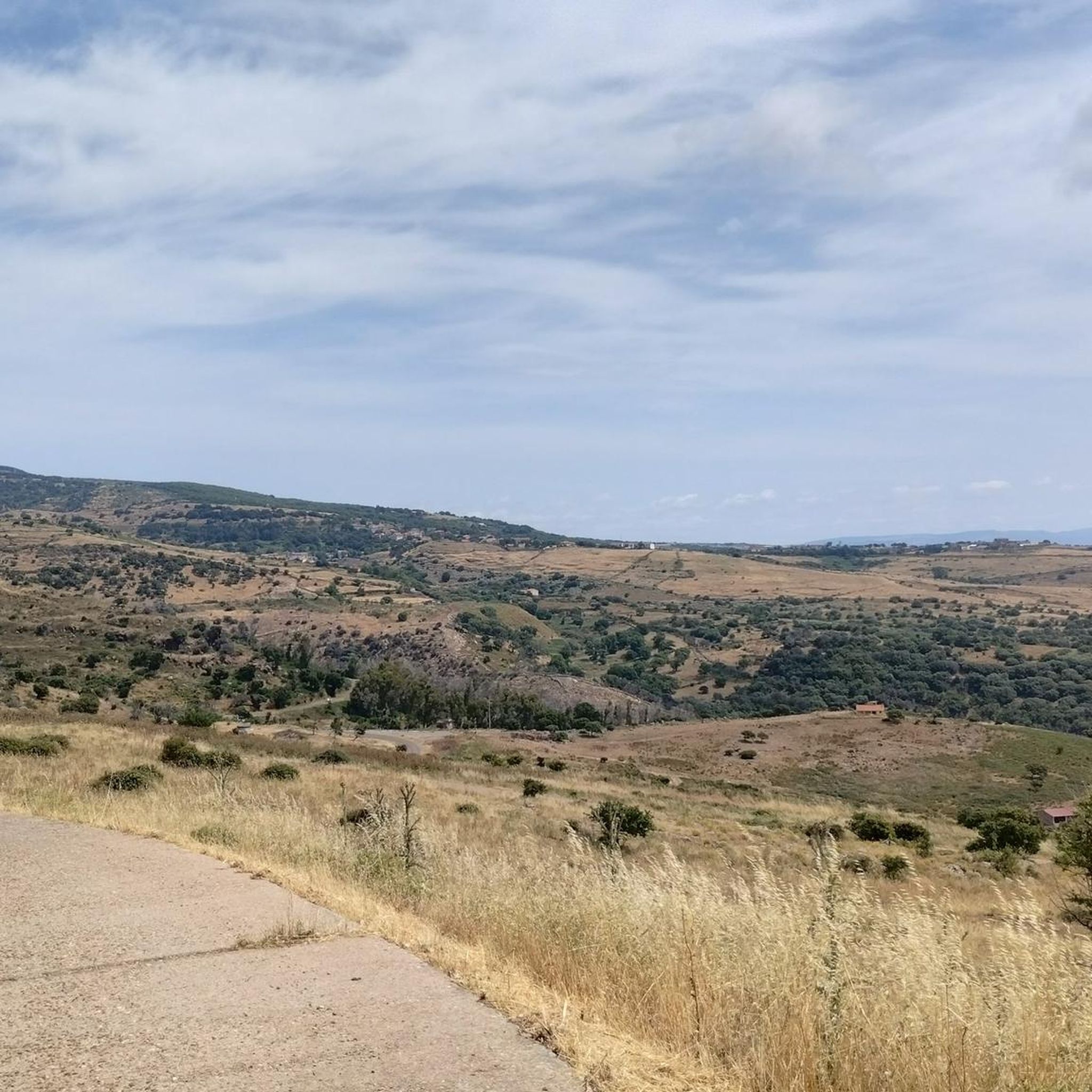
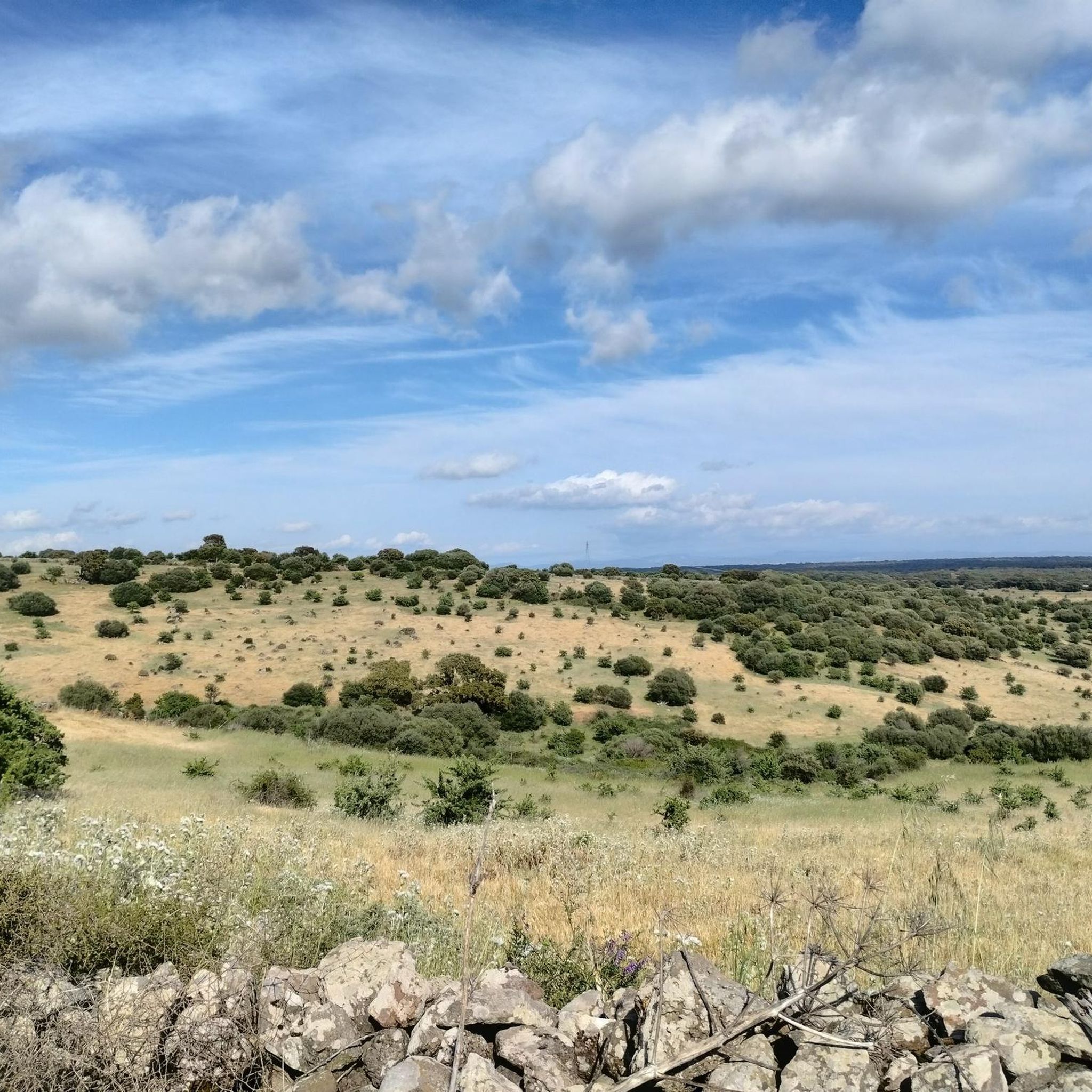
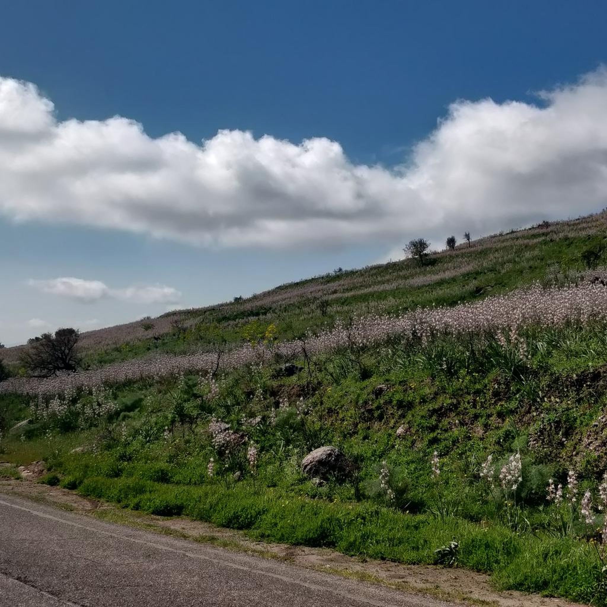
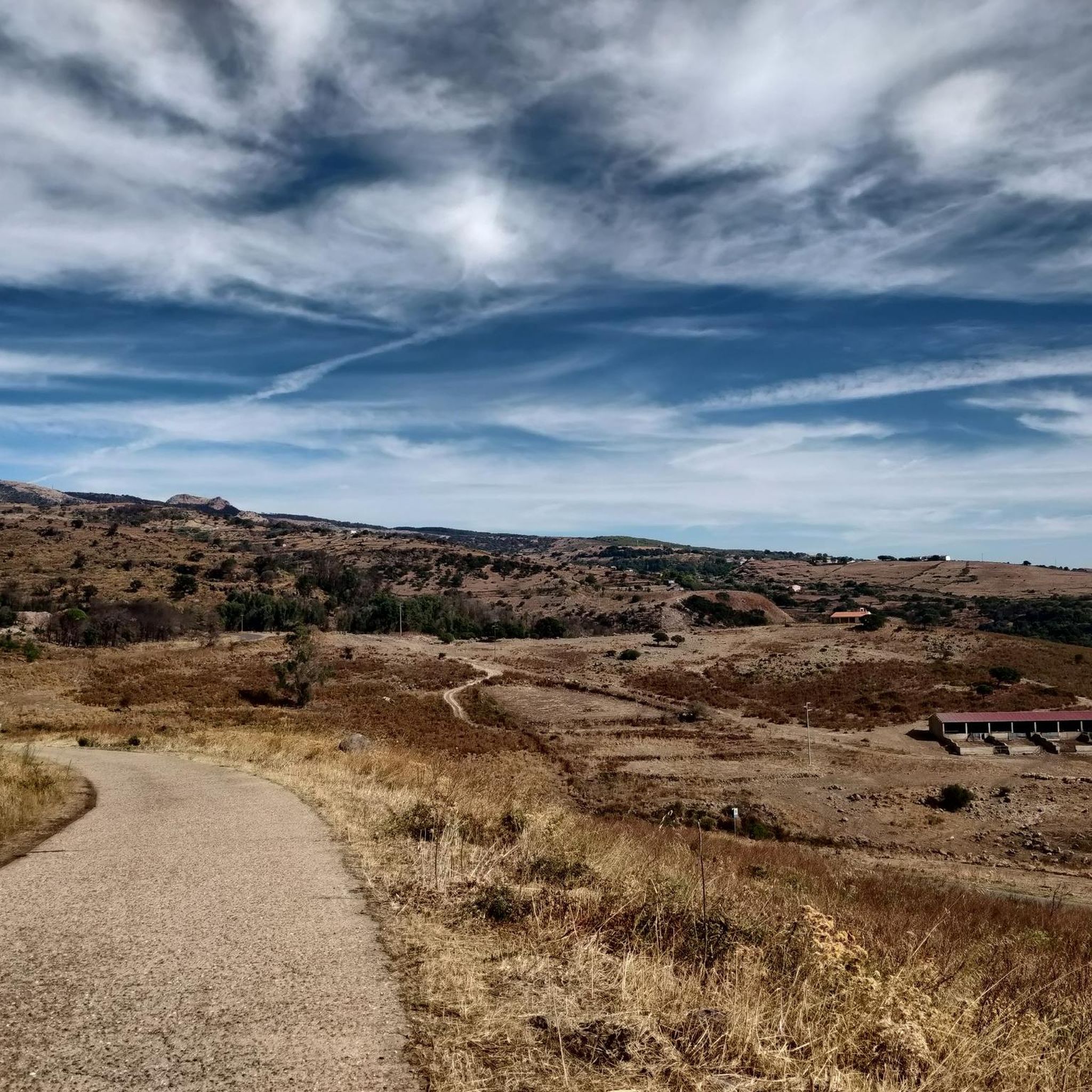
Tips from the Community

It is located in the municipality of Santu Lussurgiu (OR) A spectacular rocky peak of Montiferru that reaches an altitude of 970 meters. The west side is vertical, while the east side is inclined and climbable. On the summit there are the remains of a megalithic fortification, also known as Rocca 'e su Para, a toponym attributed, it seems, for the use of the fortress by Camaldolese friars as a place of prayer.
0
0

Also known as Monte Agudu, it rises imposingly reaching almost 900m in altitude. On the summit there are the remains of a probable late-Nuragic sanctuary
2
0

Disappointment... we are experienced hikers. We followed the route to the letter and found ourselves on barely marked paths overgrown with vegetation (brambles, thistles). The way back is no better: tarmac road used by many trucks. Hiking to be completely revised because it is impassable on many sections.
0
0
Update April 2024: the orange ribbons that marked the route have disappeared. However, the number of the aforementioned "piles of stone" has increased, making it clear which path to use to get to the top.
0
0
You've reached the top, take a break in the shade. (This is one of the very few trees on the top of Badde Urbara to have been saved from the 2021 fire, and remains one of the few shaded points in the area with the exception of the descent which then takes you back to the provincial road towards Cuglieri. The descent towards Elighes Uttiosos shows this fact very well, as after almost three years the charred skeletons of the trees that once populated this hill can still be found, today replaced only by shrubs).
0
0
Imposing peak, maximum height of 986. From the top you can see a wonderful panorama
0
0

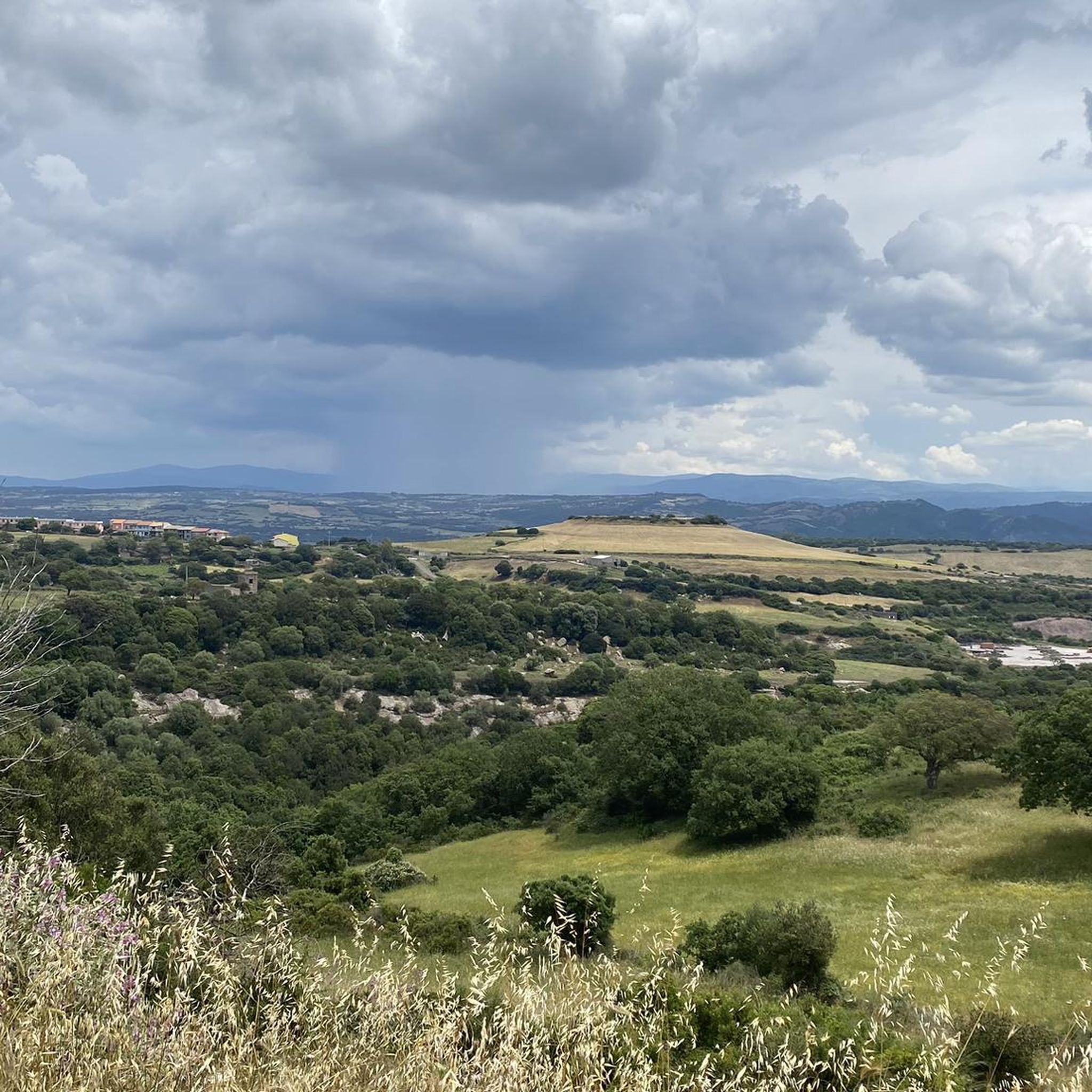
From this point, you have a splendid view of the Sardinian hinterland, especially Montiferru and the surrounding valleys.
0
1

A beautiful summit from which you can admire a wonderful view.
0
0
Frequently Asked Questions
What are the most notable mountain peaks in the Montiferru region near Bonarcado?
The most notable mountain peaks in the Montiferru region, accessible from Bonarcado, include Monte Urtigu (also known as IGM Trigonometric Point On Mullone), Punta Badde Urbara (Shaded Rest Spot at Badde Urbara Summit), and Monte Agudu (Sa Rocca de Tiu Antoni Gana). These peaks offer diverse experiences, from panoramic views to historical sites.
Which mountain peak offers the most expansive panoramic views?
Monte Urtigu, the highest peak of the Montiferru massif at 1050 meters, provides the most expansive panoramic views. On clear days, you can see across the island, potentially as far as Asinara island to the north and the Sella del Diavolo on the Cagliari coast.
Are there any mountain peaks with historical significance in the area?
Yes, Monte Agudu (Sa Rocca de Tiu Antoni Gana), rising to almost 900 meters, has historical significance. On its summit, you can find the remains of a probable late-Nuragic sanctuary.
What unique natural features can be found on Punta Badde Urbara?
Punta Badde Urbara is known for its geological interest, showcasing clear evidence of the massif's volcanic origins and uniquely shaped rocks. Visitors can also experience the phenomenon of "perdas sonadoras" (sounding stones), which are phonolites that emit sounds when stepped upon.
What kind of wildlife can I expect to see in the Montiferru mountains?
The Montiferru region, including the areas around its peaks, is home to diverse wildlife. You might encounter wild boars, wild cats, foxes, and mouflons, especially in the holm oak, cork oak, yew, holly, and downy oak forests.
Are there challenging hiking trails to reach the mountain peaks?
Yes, some peaks, like IGM Trigonometric Point On Mullone (Monte Urtigu), are considered challenging. The path to reach this point is not passable by bike and requires careful navigation due to unstable terrain. Monte Armiddosu also involves steep slopes, with some reaching over 20%.
Can I find shaded areas or rest spots on the mountain peaks?
Yes, at the summit of Badde Urbara, there is a specific highlight called Shaded Rest Spot at Badde Urbara Summit. This spot offers a place to rest under one of the few trees that survived recent wildfires, providing welcome shade.
What outdoor activities are available near the mountain peaks around Bonarcado?
Beyond hiking to the peaks, the region offers various outdoor activities. You can find numerous cycling and road cycling routes, such as "The sources of Montiferru - ring tour" for cycling, or "Malvasia to Siete Fuentes" for road cycling. For hiking, consider the "Sos Molinos Waterfall and Monte Pertosu Loop". You can find more details on these activities in the hiking guide and cycling guide for Bonaccattu/Bonarcado.
Is there a specific hiking trail that includes a waterfall?
Yes, the "Sos Molinos Waterfall and Monte Pertosu Loop" is a notable hiking route near Bonarcado. The Riu Sos Molinos waterfall is a beautiful attraction with water cascading over five steps into a small pool, offering a refreshing experience.
What is the best time of year to hike the mountain peaks in Montiferru?
While specific seasonal recommendations are not detailed, the region's volcanic origin and diverse vegetation suggest that spring and autumn would likely offer the most pleasant temperatures for hiking. Summer can be hot, but the presence of waterfalls like Riu Sos Molinos can provide refreshing escapes.
Are there any circular routes for exploring the Montiferru peaks?
Yes, for Monte Urtigu, a circular route allows for walking or cycling around the peaks, offering breathtaking vistas that encompass both the sea and rocky ridges.
What are the general difficulty levels for mountain peaks in this area?
The mountain peaks around Bonaccattu/Bonarcado offer a variety of difficulty levels, ranging from intermediate to challenging. For example, Monte Agudu and Shaded Rest Spot at Badde Urbara Summit are rated intermediate, while IGM Trigonometric Point On Mullone and Monte Armiddosu are considered challenging.
Most popular attractions around Bonaccattu/Bonarcado

Get inspired with the komoot mobile app


Explore more
See even more amazing summits around Bonaccattu/Bonarcado with these guides:
