The 5 Most Amazing Peaks around Dittersdorf
Best mountain peaks around Dittersdorf is a guide to the elevated terrain in the region. Dittersdorf is a municipality in the Saale-Orla-Kreis district of Thuringia, Germany, situated at an elevation of 492 meters above sea level. While the immediate vicinity of Dittersdorf does not feature prominent mountain peaks, the wider Thuringian region, including the Thuringian Forest, offers notable mountains and hilly ranges. These areas provide opportunities for hiking and offer expansive views.
Best mountain peaks around Dittersdorf
- The most popular…
Last updated: June 29, 2026
View from Teufelsberg of the Zeulenroda Reservoir
Highlight • Viewpoint
Translated by Google •
Tip by

Königsberg Summit Rest Area and Summit Book
Highlight • Summit
Translated by Google •
Tip by

Sign up now to discover places like this
Get recommendations on the best single tracks, peaks, & plenty of other exciting outdoor places.
Sign up for free
Fiedelmann 502 meters above sea level
Highlight • Summit
Translated by Google •
Tip by

Pfitzigberg (514 m)
Highlight • Summit
Translated by Google •
Tip by
Start today with a free account
Your next adventure awaits.
Login or Signup

Tips from the Community

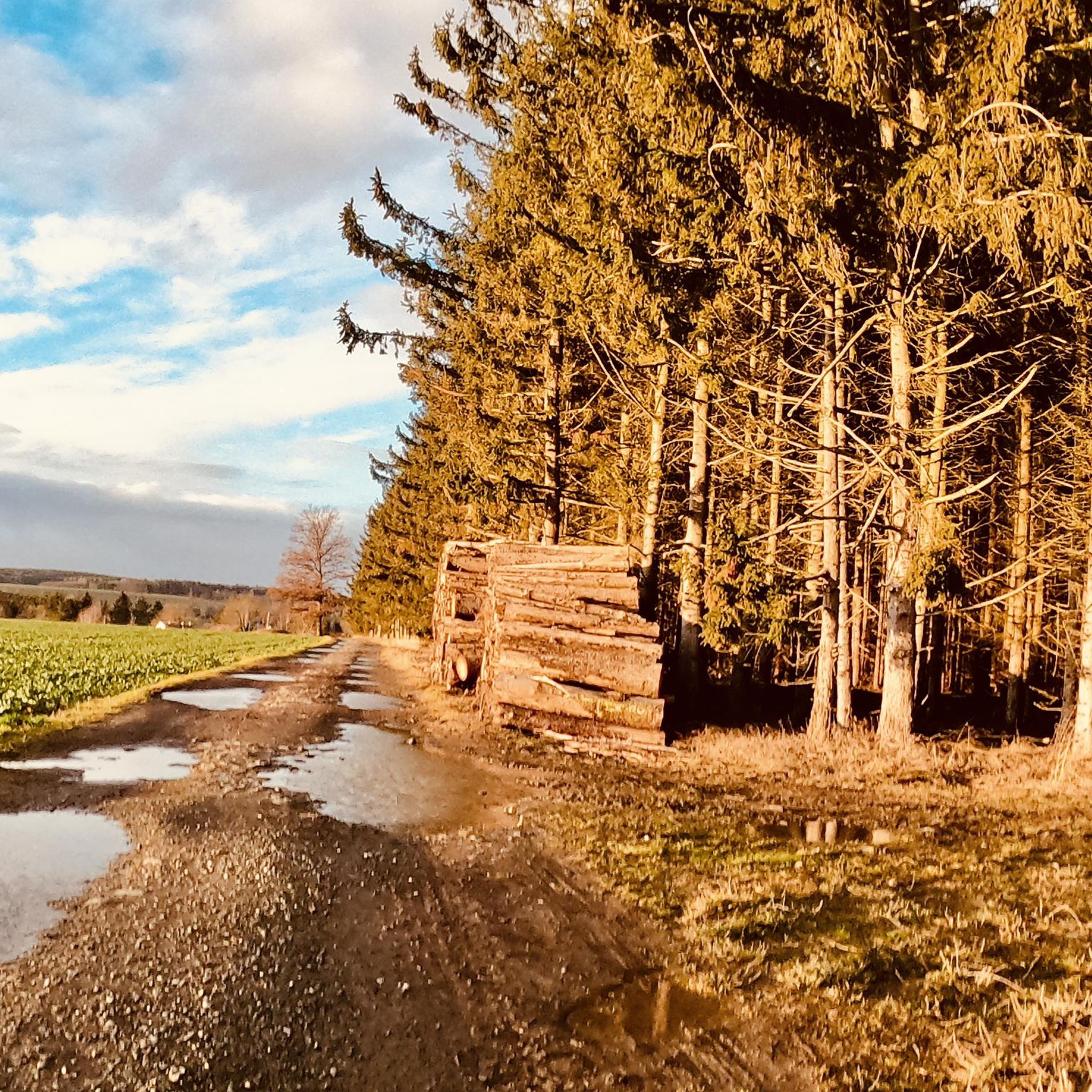
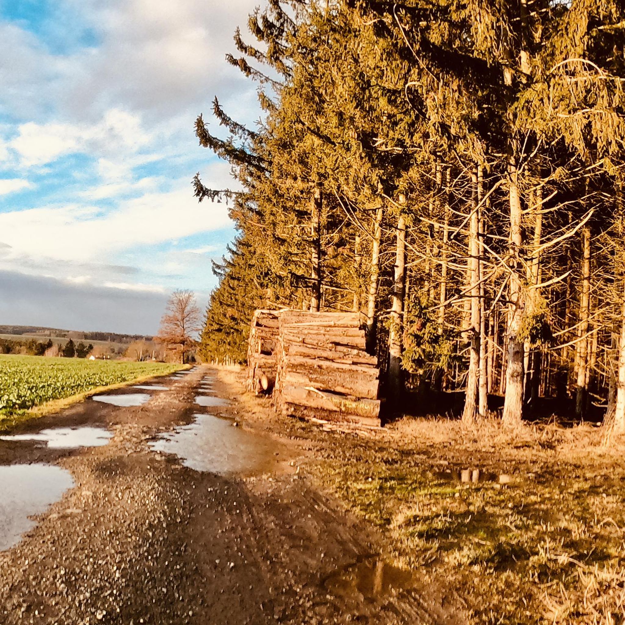
Idyllic place to rest, the view lets your eyes wander further.
0
0

From here you have a great view of Lössau.
0
0

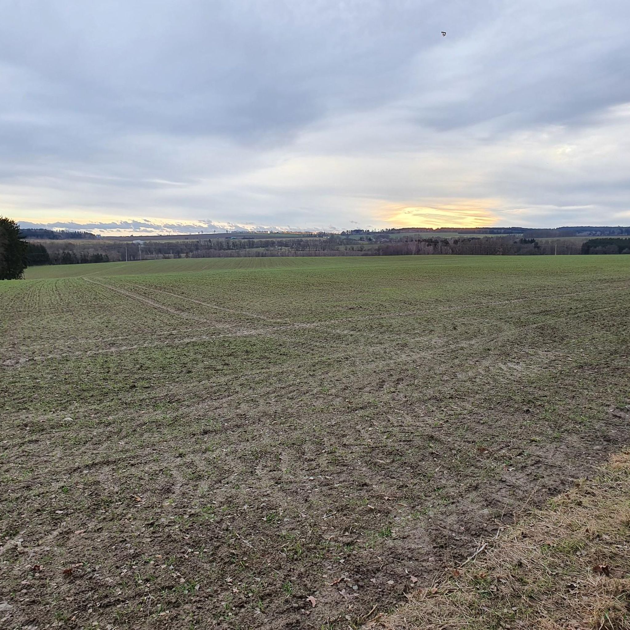
From here you have a good view of the Zeulenroda dam.
0
0

Since February there has also been a summit book on Teufelsberg.
2
0

A great view
0
0

There are all kinds of beautiful places to discover around the Zeulenrodaer Meer... Here we were completely surprised by the great view
1
0

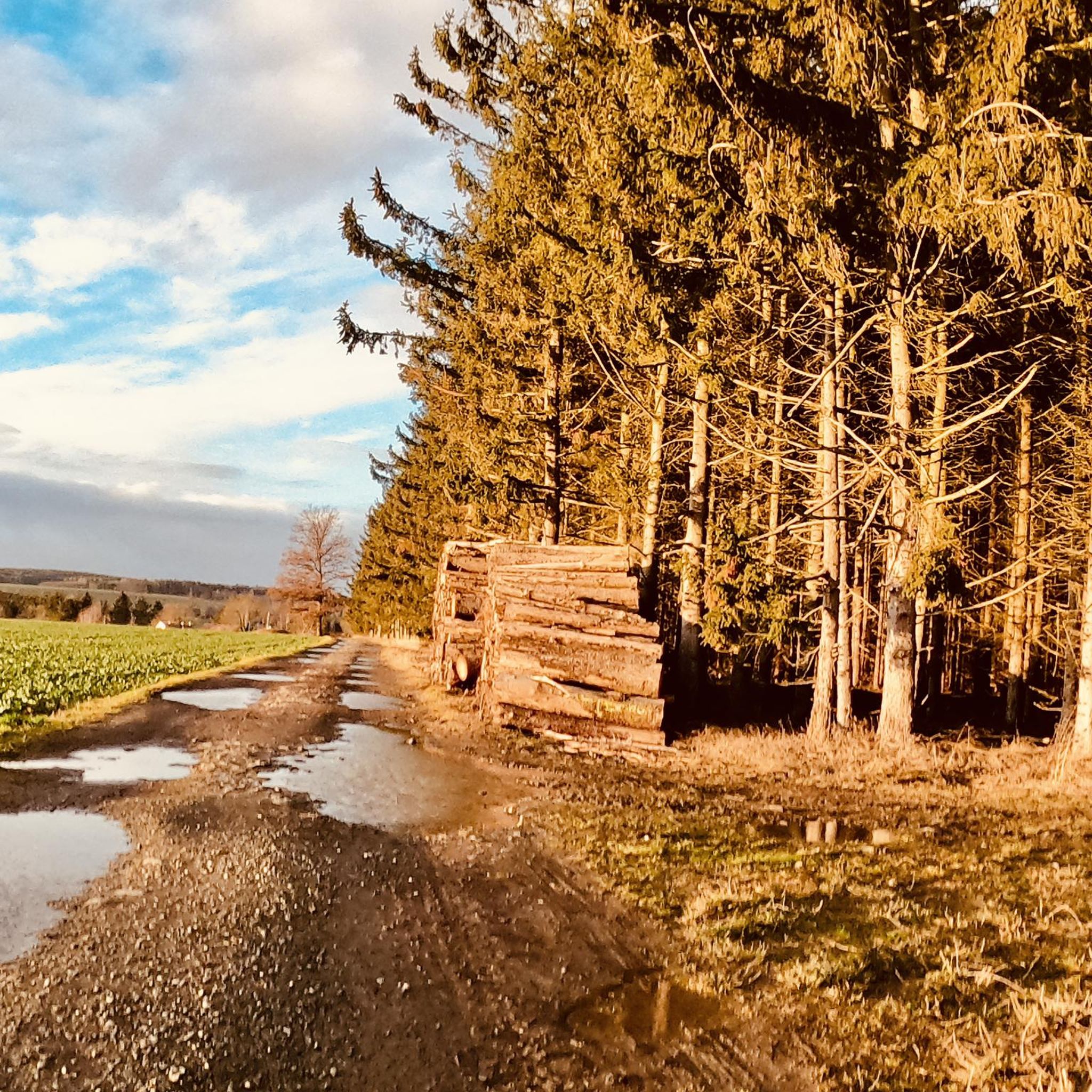
Beautifully situated in a large forest area. You can walk countless kilometers without crossing a road.
0
1

A beautiful viewpoint on the dam path.
18
0
Frequently Asked Questions
What are the most prominent mountain peaks in the wider Thuringian region near Dittersdorf?
While Dittersdorf itself is at 492 meters, the broader Thuringian region offers significant peaks. The highest is Großer Beerberg at 982.9 meters, known for its moorlands and views from Plänckners Aussicht. The second highest is Schneekopf at 978 meters, featuring an observation tower and the Neue Gehlberger Hütte. Another notable peak is Großer Inselsberg, recognized for its unique shape and diverse perspectives.
Which local peaks around Dittersdorf offer the best views?
For expansive views, consider the View from Teufelsberg of the Zeulenroda Reservoir, which provides a beautiful outlook over the reservoir. The Königsberg Summit Rest Area and Summit Book also offers great views, particularly towards Lössau. Additionally, the Pfitzigberg (514 m) is known for its beautiful views of Oschitz and Schleiz.
Are there family-friendly mountain peaks or trails near Dittersdorf?
Yes, the Pfitzigberg (514 m) is considered family-friendly and was historically a popular sledding hill. Its paths are suitable for hiking and offer beautiful views, making it a good destination for families.
What kind of natural features can I expect to see on the mountain peaks around Dittersdorf?
The region features diverse natural landscapes. On the higher peaks like Großer Beerberg, you can find unique moorlands. Many local summits, such as Fiedelmann 502 meters above sea level and Königsberg Summit Rest Area, are surrounded by forests. The View from Teufelsberg specifically highlights the scenic Zeulenroda Reservoir.
What outdoor activities can I do near the mountain peaks around Dittersdorf?
The area is excellent for various outdoor activities. You can find numerous routes for mountain biking, cycling, and gravel biking. For mountain biking, explore trails like those in the MTB Trails around Dittersdorf guide. Cyclists can find routes in the Cycling around Dittersdorf guide, and gravel biking enthusiasts can check out the Gravel biking around Dittersdorf guide.
Are there specific hiking trails on the higher peaks of the Thuringian Forest?
Yes, the popular long-distance hiking trail, the Rennsteig, traverses Großer Beerberg, making it a favored destination for hikers. Schneekopf also offers excellent hiking opportunities, with the Neue Gehlberger Hütte providing a comfortable stop for trekkers.
What is the best time of year to visit the mountain peaks near Dittersdorf?
The Thuringian region is generally pleasant for hiking from spring through autumn. Summer offers lush greenery and warmer temperatures, while autumn provides vibrant foliage. Winter can be beautiful for snowshoeing or cross-country skiing on the higher peaks, but requires appropriate gear and caution due to snow and ice.
What amenities or facilities are available at the mountain peaks?
At the Königsberg Summit Rest Area and Summit Book, you'll find a well-maintained rest area and a summit book. On Schneekopf, the Neue Gehlberger Hütte serves as the highest-altitude serviced hut in Thuringia, offering a hiking hostel and traditional cuisine.
How difficult are the mountain hikes around Dittersdorf and in the wider Thuringian Forest?
The difficulty varies. Local peaks like Fiedelmann and Pfitzigberg offer paths suitable for general hiking and biking. However, the higher peaks in the Thuringian Forest, such as Großer Beerberg and Schneekopf, involve more challenging ascents and longer trails, including sections of the Rennsteig, which require a good level of fitness.
What do visitors appreciate most about the mountain peaks in this region?
Visitors frequently highlight the stunning panoramic views, especially from spots like the View from Teufelsberg of the Zeulenroda Reservoir. The well-maintained rest areas, like the one at Königsberg Summit, and the peaceful natural surroundings, including forests and unique moorlands, are also highly valued.
Is public transport available to reach the mountain areas near Dittersdorf?
While Dittersdorf itself is a smaller municipality, public transport options exist within the wider Thuringian region. For specific mountain areas like the Thuringian Forest, it's advisable to research local bus or train connections to trailheads or nearby towns, as direct access to every peak by public transport might be limited. Planning your route in advance is recommended.
Are there any specific geological features to note on the peaks?
Yes, Großer Beerberg is particularly notable for its geological composition, being formed from rhyolite rock, which is a result of ancient volcanic activity. This contributes to the unique landscape and terrain found on and around the peak.
Most popular attractions around Dittersdorf

Get inspired with the komoot mobile app


Explore more
See even more amazing summits around Dittersdorf with these guides:
