The 3 Most Amazing Peaks around Seelbach bei Hamm (Sieg)
Best mountain peaks around Seelbach bei Hamm (Sieg) are characterized by the rolling, wooded hills and gentle elevations of the Westerwald region. While not featuring towering mountain summits, the area offers numerous notable hills and elevated viewpoints popular for hiking. These locations provide picturesque vistas, often overlooking river valleys like the Nister Valley. The municipality itself sits at an elevation of approximately 195 meters, with surrounding features offering rewarding experiences for those seeking scenic outlooks.
Best mountain peaks around Seelbach…
Last updated: June 28, 2026
Raiffeisen Tower on Beulskopf
Highlight • Viewpoint
Translated by Google •
Tip by

Studchen Summit Viewpoint (311 m)
Highlight • Viewpoint
Translated by Google •
Tip by

Sign up now to discover places like this
Get recommendations on the best single tracks, peaks, & plenty of other exciting outdoor places.
Sign up for free
Panoramic View from Beulskopf
Highlight • Viewpoint
Translated by Google •
Tip by

View from Bickenberg
Highlight • Viewpoint
Translated by Google •
Tip by

View of Helmeroth and Langenbach
Highlight • Viewpoint
Translated by Google •
Tip by

Start today with a free account
Your next adventure awaits.
Login or Signup
Popular around Seelbach bei Hamm (Sieg)
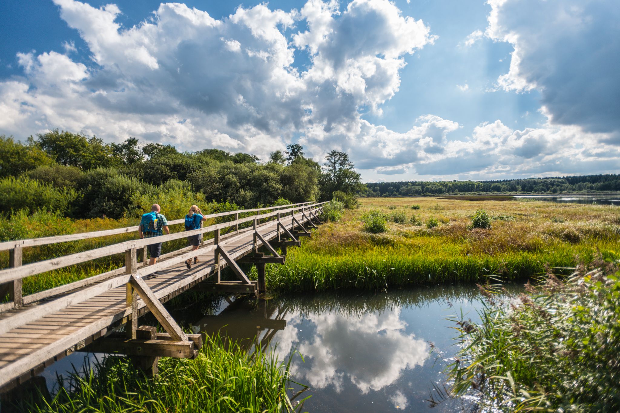
More than just forests – 16 stages on the WesterwaldSteig
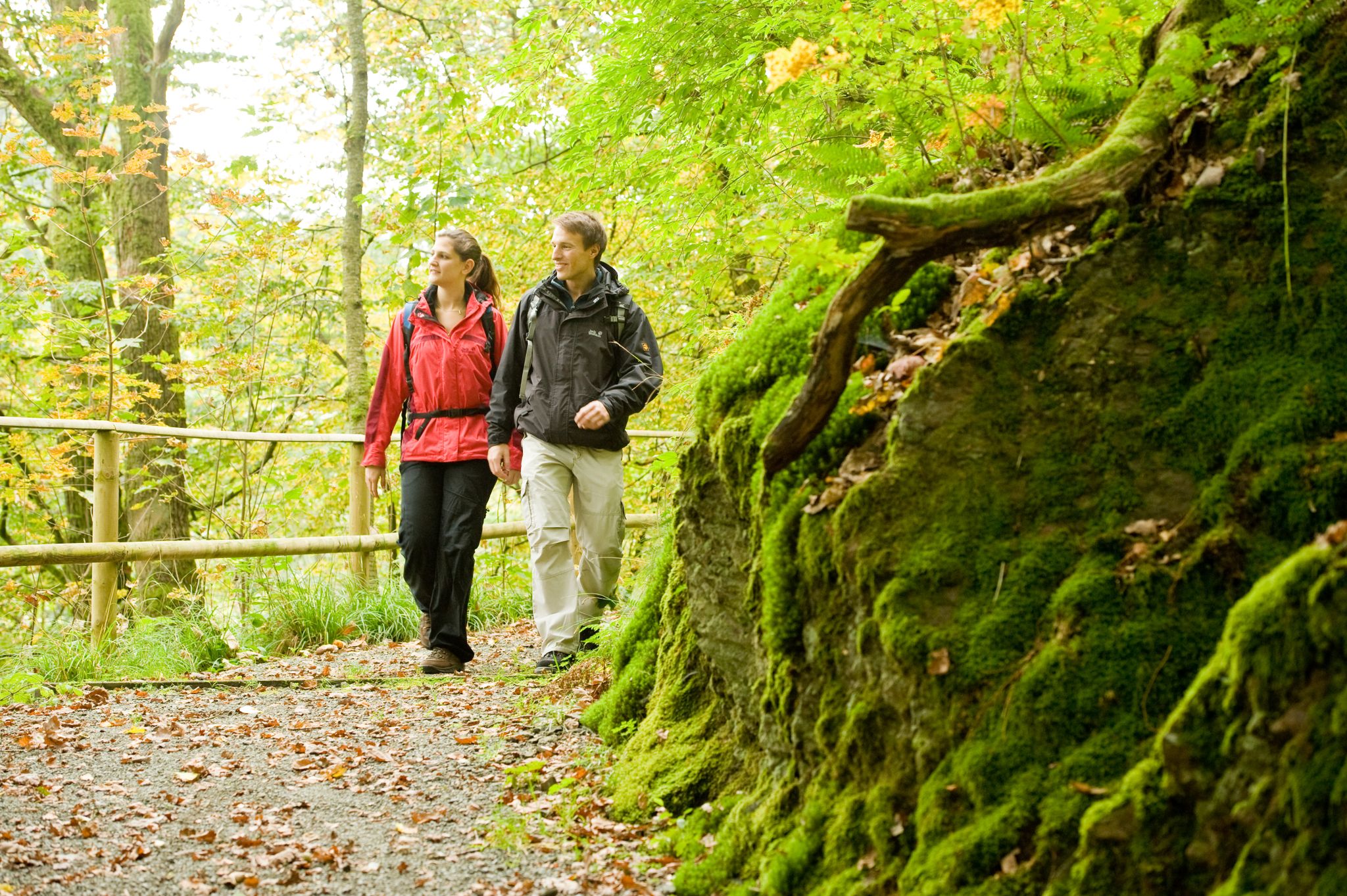
Hike the WesterwaldSteig in Germany’s Westerwald-Sieg Region
More than just forests – 16 stages on the WesterwaldSteig
Cycling around Seelbach bei Hamm (Sieg)
Road Cycling Routes around Seelbach bei Hamm (Sieg)
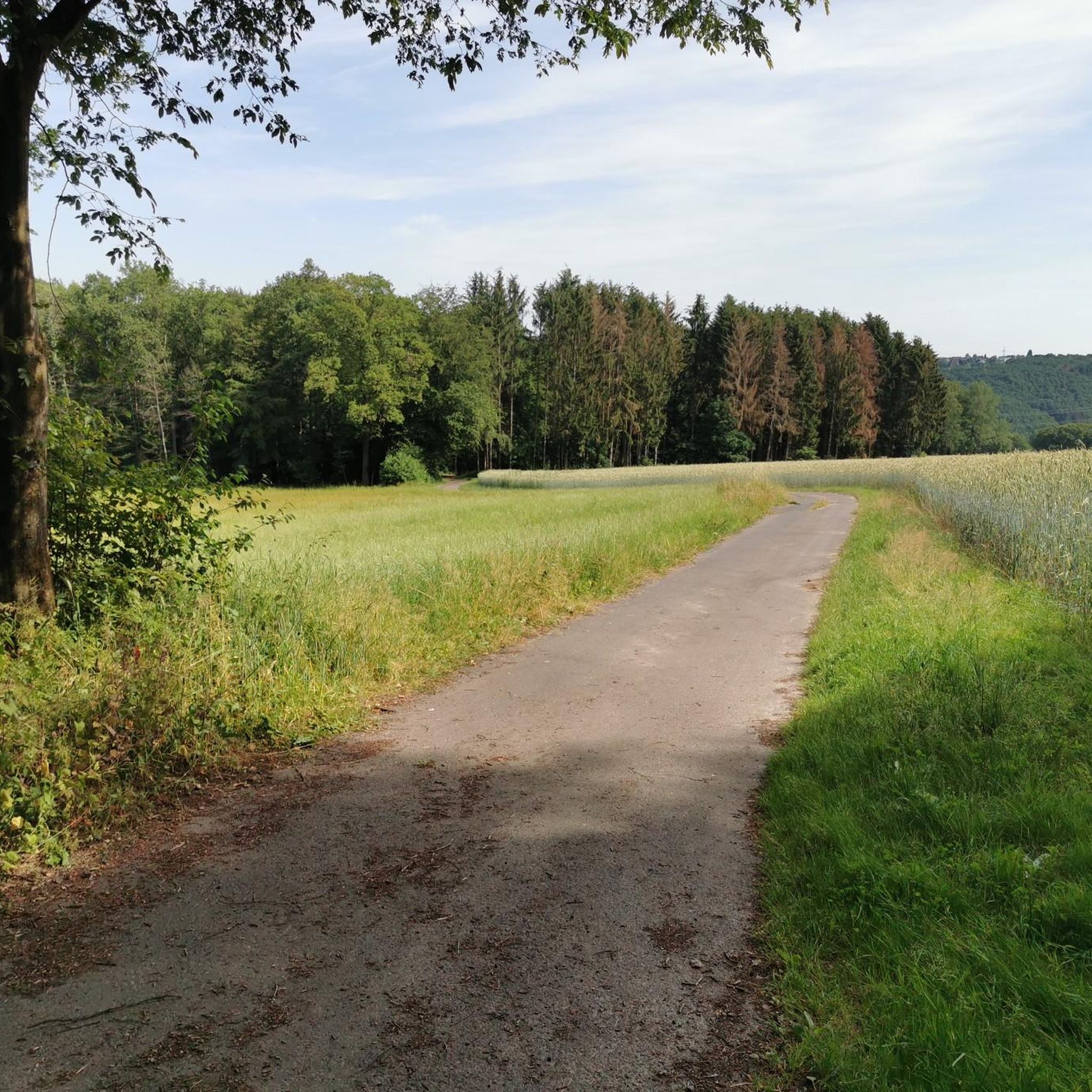
Hiking around Seelbach bei Hamm (Sieg)
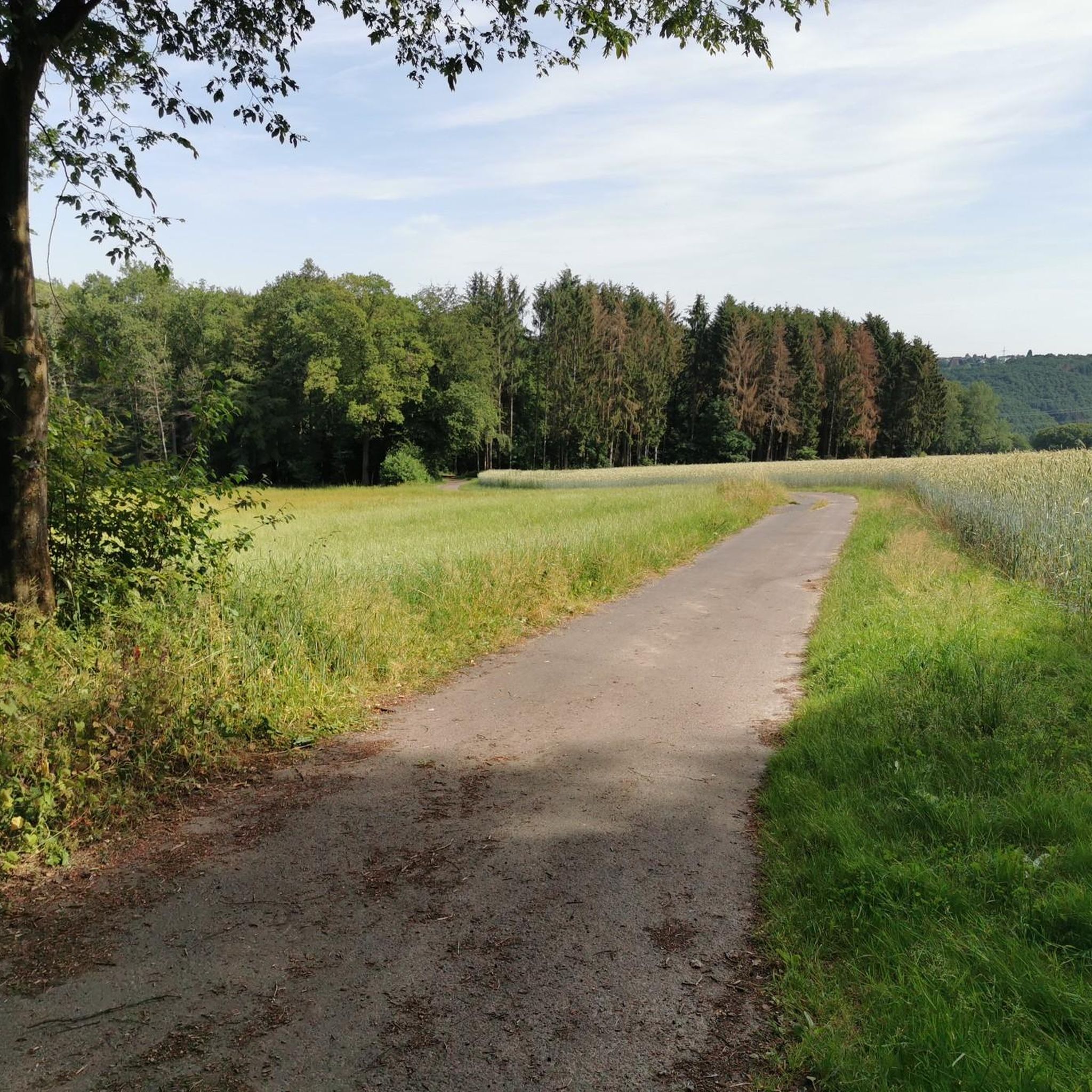
MTB Trails around Seelbach bei Hamm (Sieg)
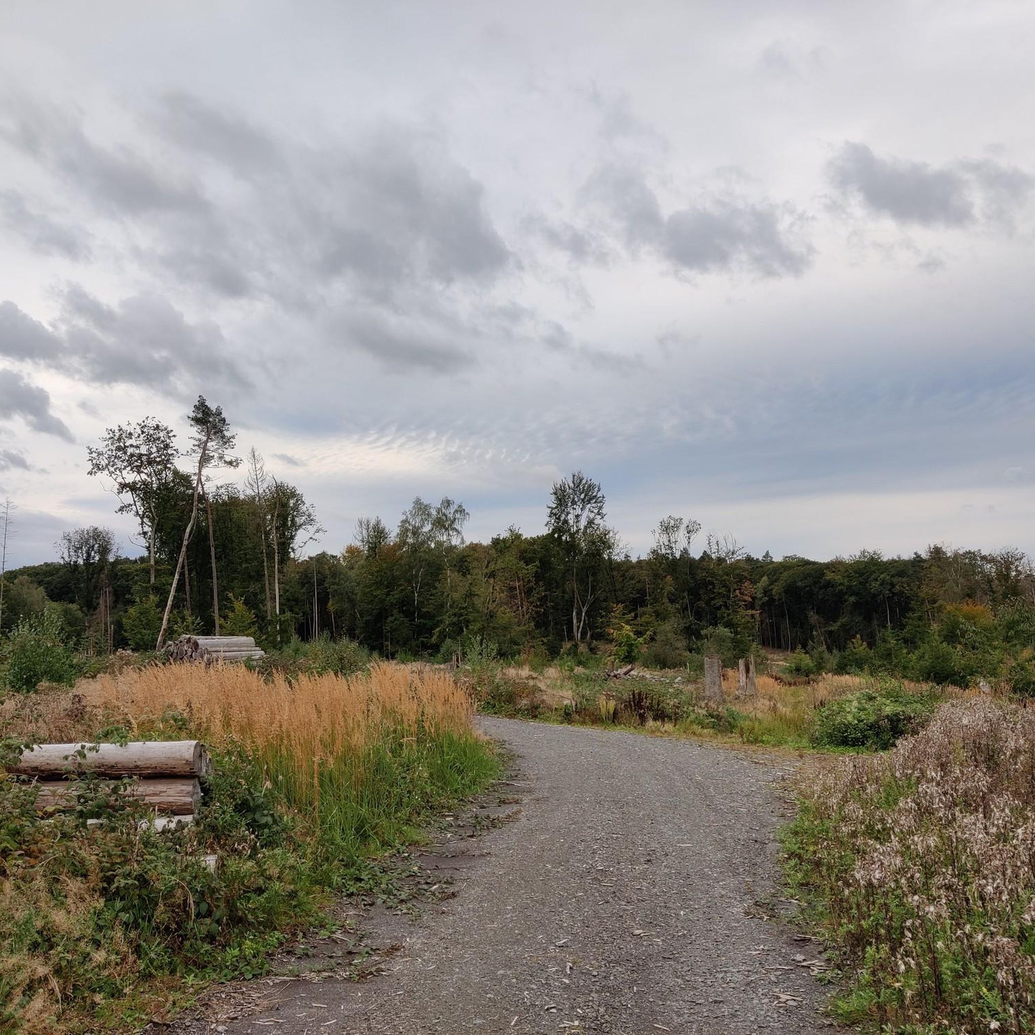
Running Trails around Seelbach bei Hamm (Sieg)
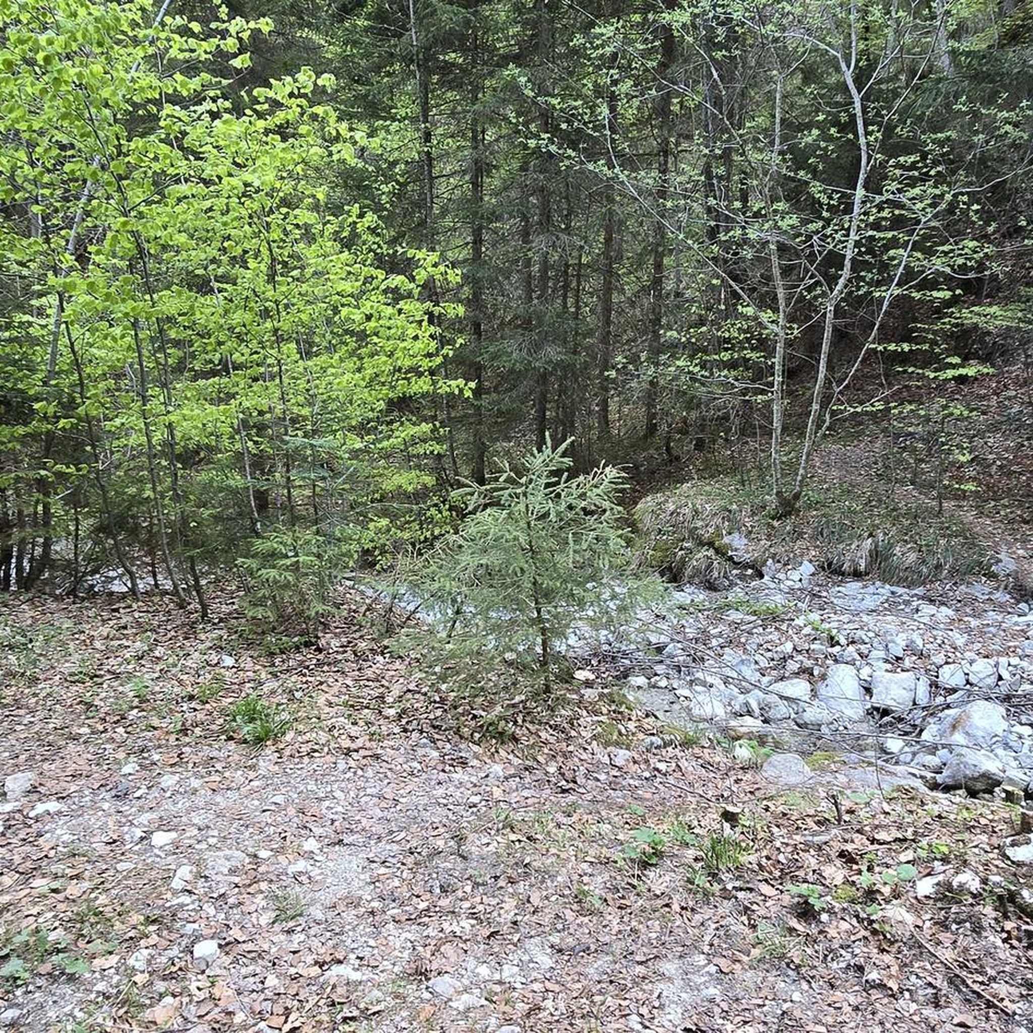
Gravel biking around Seelbach bei Hamm (Sieg)
Other adventures around Seelbach bei Hamm (Sieg)


Tips from the Community

Stamp point for the 6th stage of the Natursteig Sieg and the Erlebnisweg Sieg „Wälderweg“. Why this was set up about 150 m away from the hiking trail is not entirely clear to me. Just because of the few meters of altitude on the Studchen?
1
0

Here you can sign the stamp for stage 6 of the Natursteig Sieg with a pencil and stamp booklet.
1
0

Relaxing lounger with a beautiful view
1
0

Anyone who has mastered the 177 steps up will be rewarded with a fantastic panoramic view.
5
0

A magnificent view is possible from here. East over Hamm to the Siegerland, west is the Oberbergische. Air traffic Cologne/Bonn can also be observed. Southwest the Siebengebirge. It can be enjoyed on a clear day.
0
0

On the 311 meter high Studchen you have a gorgeous view of the surroundings. Several hiking trails lead past this beautiful spot and if it is important to you, you can also fill out your stamp pass.
2
0

Mountain festival for the Sieg adventure trail - forest trail
1
1

180 steps for a great all-round view. On the railing of the viewing platform, the sights and towns are marked with a marker – funny and definitely helpful.
3
0
Frequently Asked Questions
What are the most notable elevated viewpoints around Seelbach bei Hamm (Sieg)?
While the region features wooded hills rather than towering peaks, several elevated viewpoints offer magnificent vistas. The Raiffeisen Tower on Beulskopf, standing on the 388.2-meter high Beulskopf, provides a fantastic panoramic view. Other popular spots include the Studchen Summit Viewpoint (311 m) and the View from Bickenberg (364m).
Are there family-friendly elevated walks or viewpoints in the area?
Yes, the region offers several spots suitable for families. The Studchen Summit Viewpoint (311 m) is noted as family-friendly, offering great views and even a stamp point for hikers. The View from Bickenberg is also considered family-friendly, providing panoramic views.
What kind of natural features can I expect to see while exploring the elevated areas?
The Seelbach bei Hamm (Sieg) area, part of the Westerwald, is characterized by rolling, wooded hills and diverse terrain. You'll encounter dense forests, picturesque river valleys like the Nister Valley, and scenic viewpoints. The landscape is ideal for experiencing natural beauty, even without classic mountain peaks.
What outdoor activities can I do near these elevated viewpoints?
The region is excellent for various outdoor activities. Hiking is very popular, with numerous trails traversing the wooded hills and river valleys. You can find many options, including family-friendly hikes and easy hikes. Mountain biking is also a great way to explore the area, with several MTB trails available.
What is the best time of year to visit the elevated viewpoints around Seelbach bei Hamm (Sieg)?
The wooded hills and viewpoints are beautiful throughout the year. Spring offers lush greenery and blooming flora, while autumn provides stunning fall foliage. Summer is ideal for longer hikes, and even winter can be magical with snow-covered landscapes, though some paths might be more challenging. Always check local weather conditions before heading out.
Are there any challenging trails or viewpoints for experienced hikers?
Yes, while many paths are gentle, some viewpoints like the Raiffeisen Tower on Beulskopf and the View from Bickenberg are categorized as 'intermediate' difficulty. The 'Weltende' viewpoint, for instance, is part of a challenging narrow path, offering a more engaging experience for those seeking a bit more adventure.
Can I bring my dog on the trails to these viewpoints?
Generally, dogs are welcome on most hiking trails in the Westerwald region, including those leading to viewpoints. However, it's always advisable to keep them on a leash, especially in nature reserves or near wildlife, and to respect local signage. Always carry water for your pet and dispose of waste properly.
What should I bring for a hike to these elevated areas?
For a comfortable experience, bring appropriate hiking footwear, weather-appropriate clothing (layers are recommended), water, snacks, and a map or GPS device. Binoculars can enhance the viewing experience from the panoramic points like the Raiffeisen Tower on Beulskopf, especially on clear days.
Are there places to eat or drink near the hiking trails and viewpoints?
While specific cafes or pubs might not be directly at every viewpoint, the villages and towns in the Seelbach bei Hamm (Sieg) area, such as Hamm (Sieg) itself, offer various dining options. It's a good idea to plan your route to pass through or end near these locations for refreshments.
How accessible are the viewpoints by public transport?
Access to the more remote viewpoints by public transport can be limited. Seelbach bei Hamm (Sieg) has some bus connections, but reaching specific trailheads often requires a car. It's best to check local bus schedules and routes in advance if you plan to rely on public transport.
What do visitors enjoy most about the elevated areas around Seelbach bei Hamm (Sieg)?
Visitors consistently praise the magnificent panoramic views from spots like the Raiffeisen Tower on Beulskopf and the peaceful, natural atmosphere of the wooded hills. The opportunity for relaxation, photography, and experiencing the diverse landscapes of the Westerwald is highly valued.
Most popular routes around Seelbach bei Hamm (Sieg)
Most popular attractions around Seelbach bei Hamm (Sieg)

Get inspired with the komoot mobile app


Explore more
See even more amazing summits around Seelbach bei Hamm (Sieg) with these guides:
