The best walks and hikes around Kyllburgweiler
4.5
(4052)
12,580
hikers
493
hikes
Hiking around Kyllburgweiler offers diverse terrain within Germany's Eifelkreis-Bitburg-Prüm, situated on the edge of the Southern Eifel Nature Park. The landscape is characterized by rolling green hills, dense forests, and the scenic Kyll River. Hikers can explore a mix of river valleys, wooded paths, and open meadows, with elevations generally consisting of gentle ascents and descents rather than high peaks. The region provides a tranquil setting for outdoor activities.
Best hiking trails around Kyllburgweiler
- The most popular hiking route is…
Last updated: July 1, 2026
4.4
(14)
46
hikers
11.4km
03:18
300m
300m
Moderate hike. Good fitness required. Easily-accessible paths. Suitable for all skill levels.
4.6
(10)
20
hikers
13.2km
03:44
280m
280m
Moderate hike. Good fitness required. Easily-accessible paths. Suitable for all skill levels.

Sign up for free
4.3
(10)
25
hikers
8.78km
02:28
180m
180m
Moderate hike. Good fitness required. Easily-accessible paths. Suitable for all skill levels.
4.4
(9)
23
hikers
Moderate hike. Good fitness required. Easily-accessible paths. Suitable for all skill levels.
4.8
(29)
99
hikers
14.3km
04:10
370m
370m
Moderate hike. Good fitness required. Easily-accessible paths. Suitable for all skill levels.
Get access to more routes and recommendations from other explorers.
Sign up for free
Already have an account?
Our route recommendations are based on thousands of hikes, rides, and runs completed by other people on komoot.
Start today with a free account
Your next adventure awaits.
Login or Signup
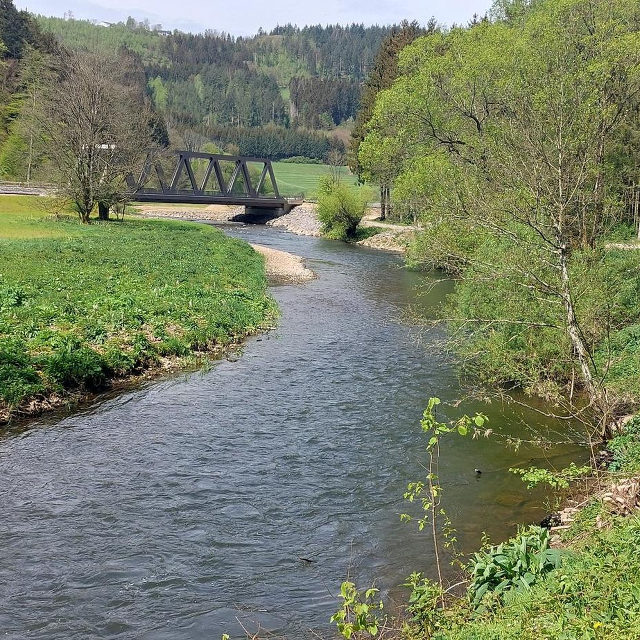
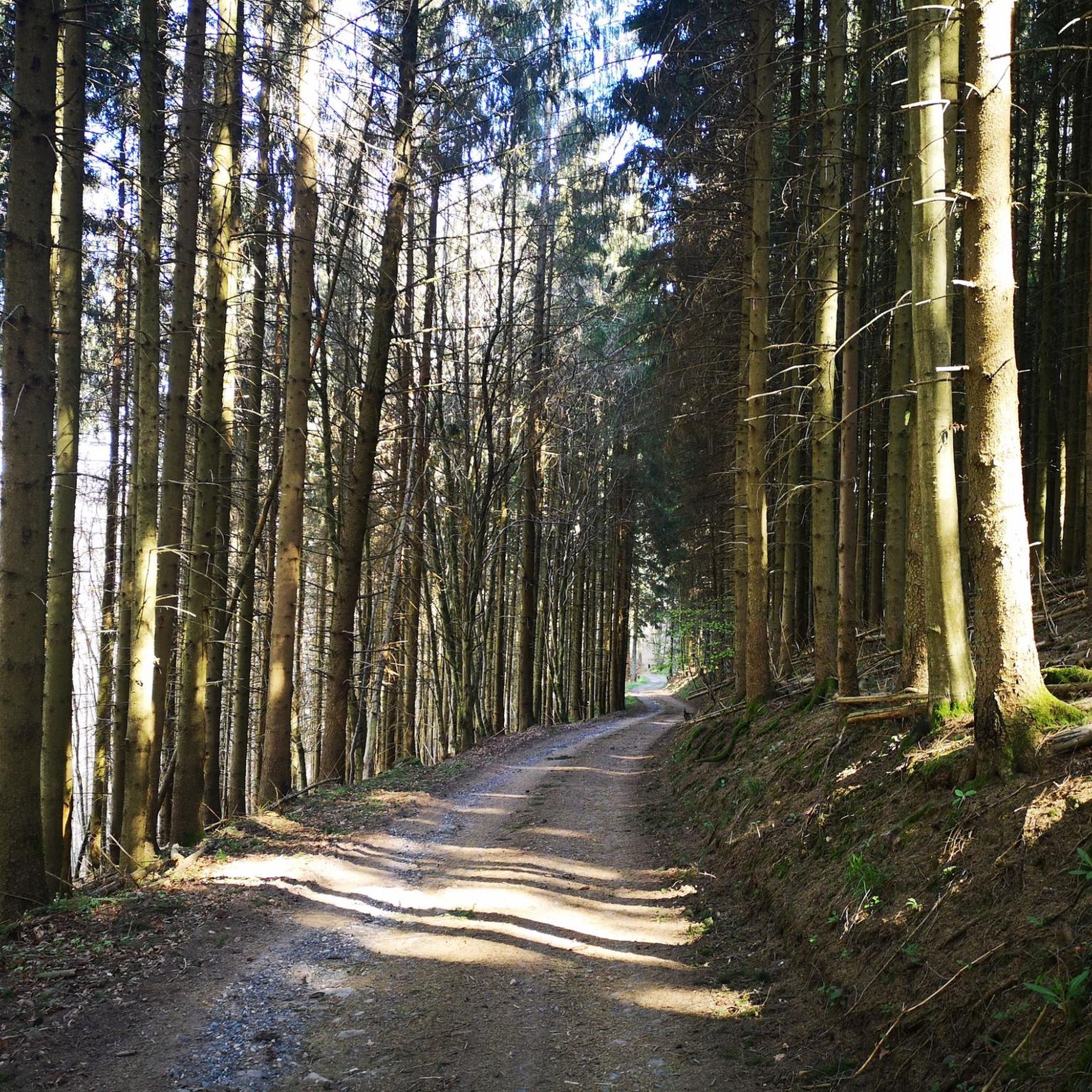
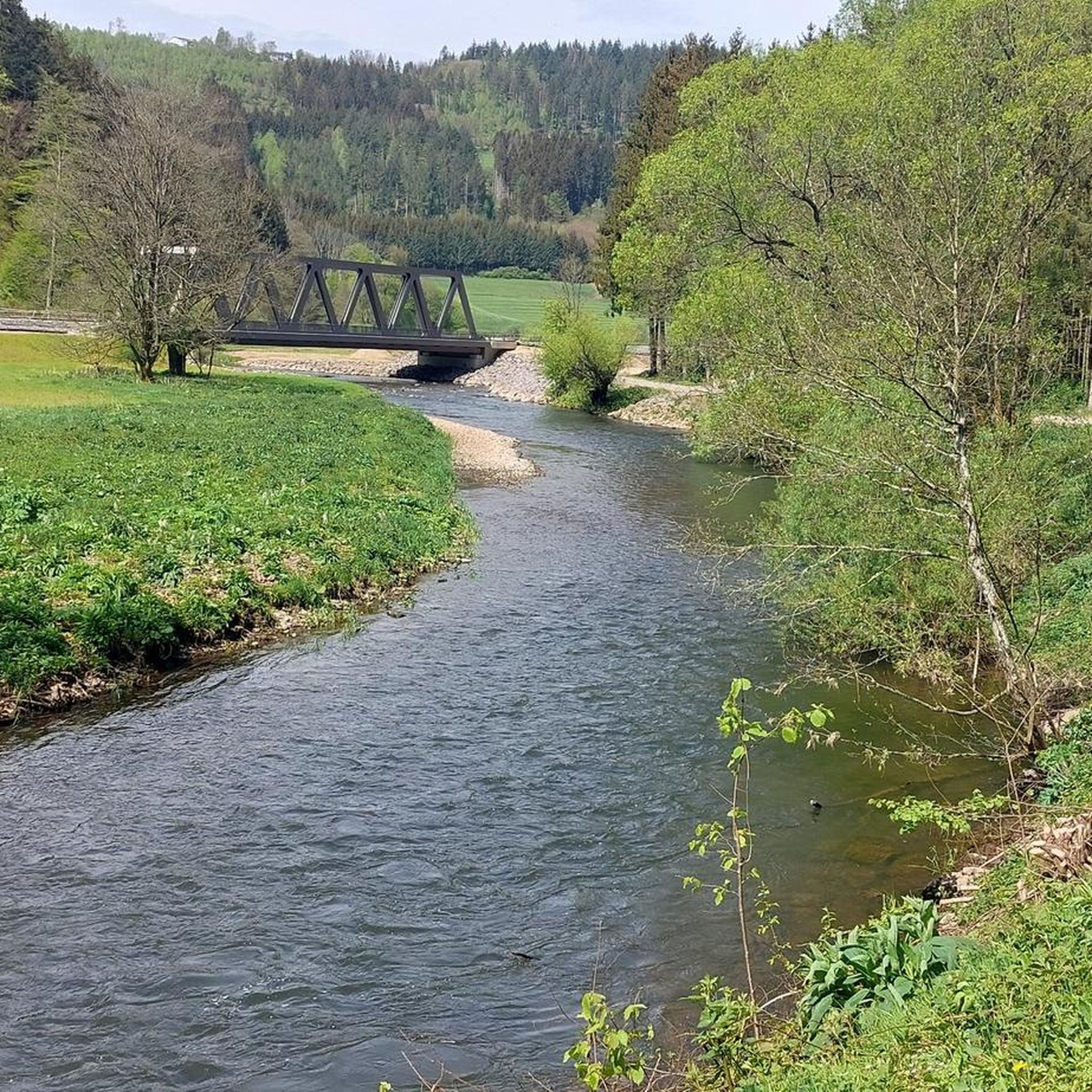
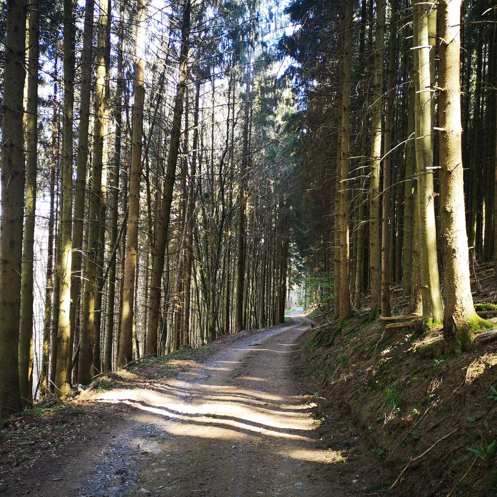

Tips from the Community

When we hear of the patronage of Saint Thomas, most people in Germany probably automatically think back two thousand years to the time of Christ, because one of the twelve apostles Jesus called to follow him bears this name. In the biblical accounts of the New Testament, he is nicknamed "Didymus," which means "twin" in German. In this case, however, the chosen patronage of the former monastery and current retreat house—and also the namesake of this place in the Eifel district of Bitburg-Prüm—refers to Saint Thomas Becket (1118 to 1170), also known as Thomas of Canterbury after the place of his bishopric and martyrdom. Incidentally, Canterbury Cathedral (Kent, England) can be visited—at least virtually in the komoot system—at the following link =>> https://www.komoot.com/de-de/highlight/231266
0
0

The Marian Column was erected in 1886 in honor of the Mother of God. A spiral staircase inside leads to a viewing platform. The "Seven Sorrows of Mary," a path consisting of seven stations and winding up the hill, also ends at the Marian Column. Source: https://www.eifel-direkt.de/a-mariensaeule-1
3
0
Due to the sharp drop in prices, hop cultivation around Kyllburg was stopped at the beginning of the 20th century. Today, the hop terraces are largely dilapidated and overgrown. In the immediate vicinity of the old hop terraces we find a weather shelter that offers us welcome shelter in the event of an unexpected rain shower.
2
0
On our hike along the rock path, we have a beautiful view of St. Thomas.
2
0
From here you have a beautiful view of St. Thomas with its former Cistercian abbey.
2
0
Small rest area that offers us a nice view of St. Thomas.
2
0
The pilgrimage chapel in the district of Sankt Johann, 2.5 km north of the monastery of Sankt Thomas, on the eastern bank of the Kyll, was first mentioned in 1380. People came from far and wide to visit, especially when suffering from the so-called dancing sickness. In 1843, Sankt Johann had two houses with a total of 16 residents. The current chapel was built in 1953. Every year on St. John's Day, June 24th, the community of Sankt Thomas makes a pilgrimage through the forest to the St. John's Chapel and holds a service there. The St. John's estate used to belong to the Seinsfeld Castle. Source: https://kulturdb.de/einobjekt.php?id=3784 We would have liked to have seen the interior of the chapel today. Unfortunately, the door was locked.
1
0
Small parking lot with space for about 5 vehicles. A rest area consisting of a table and two benches is also available. If you want to use the parking lot as a starting point for a hike, you can enter the following coordinates into your navigation system: 50.100574, 6.601926
3
0
Frequently Asked Questions
How many hiking trails are available around Kyllburgweiler?
Kyllburgweiler offers a wide variety of hiking opportunities, with over 500 trails recorded on komoot. These range from easy strolls to more challenging moderate routes, catering to different preferences and fitness levels.
Are there any waterfalls to discover on hikes near Kyllburgweiler?
Yes, the region features several beautiful waterfalls. You can find the impressive "Eishausener Sprudel" amidst the forest, offering a refreshing stop. Another notable one is the Tanzlay Waterfall and Rock Formations. The route Heilenbach Stream – Neidenbach Waterfall loop from St. Thomas specifically leads to the Neidenbach Waterfall.
Are there family-friendly hiking options in Kyllburgweiler?
Absolutely. Kyllburgweiler provides many family-friendly trails, with over 260 easy routes available. These often include leisurely strolls along the Kyll River, perfect for all ages. The general terrain of rolling hills and gentle ascents makes many paths suitable for families.
Can I bring my dog on the hiking trails around Kyllburgweiler?
Yes, dogs are generally welcome on the hiking trails around Kyllburgweiler. The natural landscape of forests and meadows provides an excellent environment for walks with your canine companion. Always ensure your dog is kept on a leash where required and respect local wildlife.
Are there circular hiking routes available in Kyllburgweiler?
Many of the trails around Kyllburgweiler are designed as circular routes, allowing you to start and end at the same point. Examples include the popular View of St. Thomas – Kyllburg Marian Column loop from St. Thomas and the St. John's Chapel Sankt Johann – View of Sankt Thomas loop from St. Thomas.
What are some notable viewpoints or landmarks I can see while hiking?
The region is rich in scenic viewpoints and historical landmarks. The "Kuckucksley" lookout point offers sweeping views of the Kyllburg mountains. You can also explore historical sites like the 17th-century Malberg Castle, the medieval town of Kyllburg, and St. Thomas Monastery. The route Kyllburg Marian Column – View of St. Thomas loop from St. Thomas offers views of the Marian Column and St. Thomas.
When is the best time of year to go hiking in Kyllburgweiler?
Kyllburgweiler offers beautiful hiking experiences throughout the year. Spring brings vibrant wildflowers, while autumn transforms the foliage into a stunning display of colors, making these seasons particularly picturesque. Summer is ideal for enjoying the Kyll River, and even winter offers opportunities for snowy walks, with nearby ski regions for other activities.
Are there any long-distance hiking trails that pass through Kyllburgweiler?
Yes, Kyllburgweiler is part of several significant long-distance trails. The Kylltalpfad, a premium hiking trail, follows the entire course of the Kyll River for over 130 kilometers. The Mosel-Our Trail and the Felsenweg also traverse the broader Eifel region, offering varied landscapes and geological interest.
What do other hikers say about the trails in Kyllburgweiler?
The trails in Kyllburgweiler are highly regarded by the komoot community, with an average rating of 4.5 stars from over 3,700 reviews. Hikers frequently praise the diverse terrain, the tranquil setting, and the well-maintained paths that lead through dense forests, river valleys, and rolling hills.
What is the general difficulty level of hikes in Kyllburgweiler?
The hiking trails around Kyllburgweiler cater to a range of abilities. You'll find a good mix of easy (over 260) and moderate (over 230) routes, with a smaller number of more difficult trails (around 12). This ensures there's something suitable for everyone, from casual walkers to experienced hikers.
Are there places to eat or stay near the hiking trails?
Yes, the region offers various options for refreshments and accommodation. Along the Kylltalpfad, you'll find cozy inns and guesthouses. The historic center of Kyllburgweiler and the nearby medieval town of Kyllburg also provide restaurants, cafes, and accommodation choices for hikers.
How can I reach the hiking trails around Kyllburgweiler using public transport?
Kyllburgweiler is accessible via public transport, making it convenient for hikers. Regional bus services connect the village to surrounding towns and train stations. It's advisable to check local bus routes and schedules in advance to plan your journey to the trailheads.
Most popular routes around Kyllburgweiler
Most popular attractions around Kyllburgweiler

Get inspired with the komoot mobile app


Explore more
Browse the best Hikes in other regions.
