The 5 Most Amazing Peaks around Sigharting
Best mountain peaks around Sigharting are found in the broader region of Upper Austria, characterized by undulating landscapes and hills rather than towering mountains. Sigharting, a municipality in the district of Schärding, offers picturesque hiking trails with varying elevation gains. The area is known for its natural beauty and provides opportunities for exploring elevated views. Visitors can find a range of trails suitable for different fitness levels.
Best mountain peaks around Sigharting
- The most popular mountain peaks is Ameisberg Summit…
Last updated: June 28, 2026
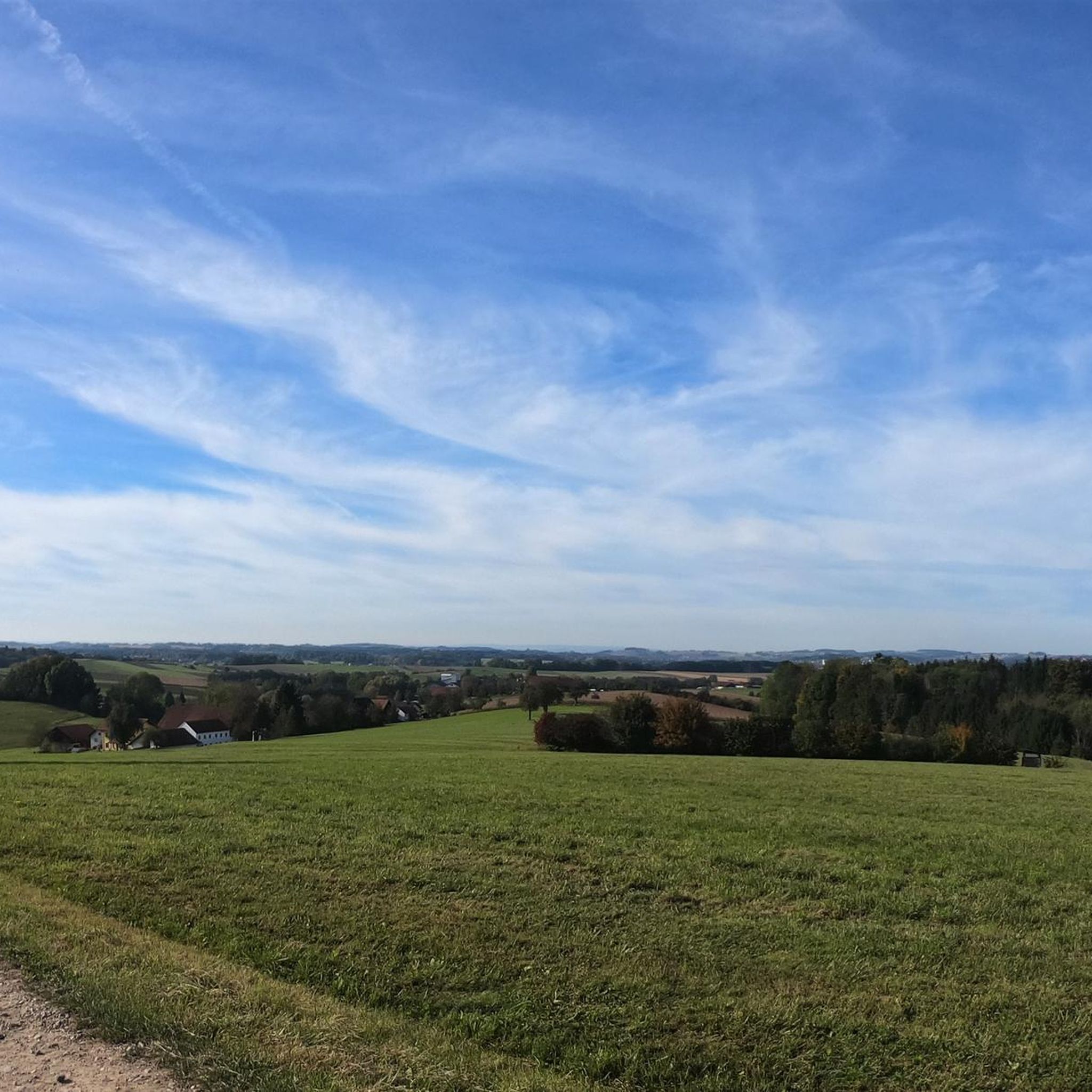
Turnstein – Highest Point in Natternbach
Highlight • Summit
Translated by Google •
Tip by

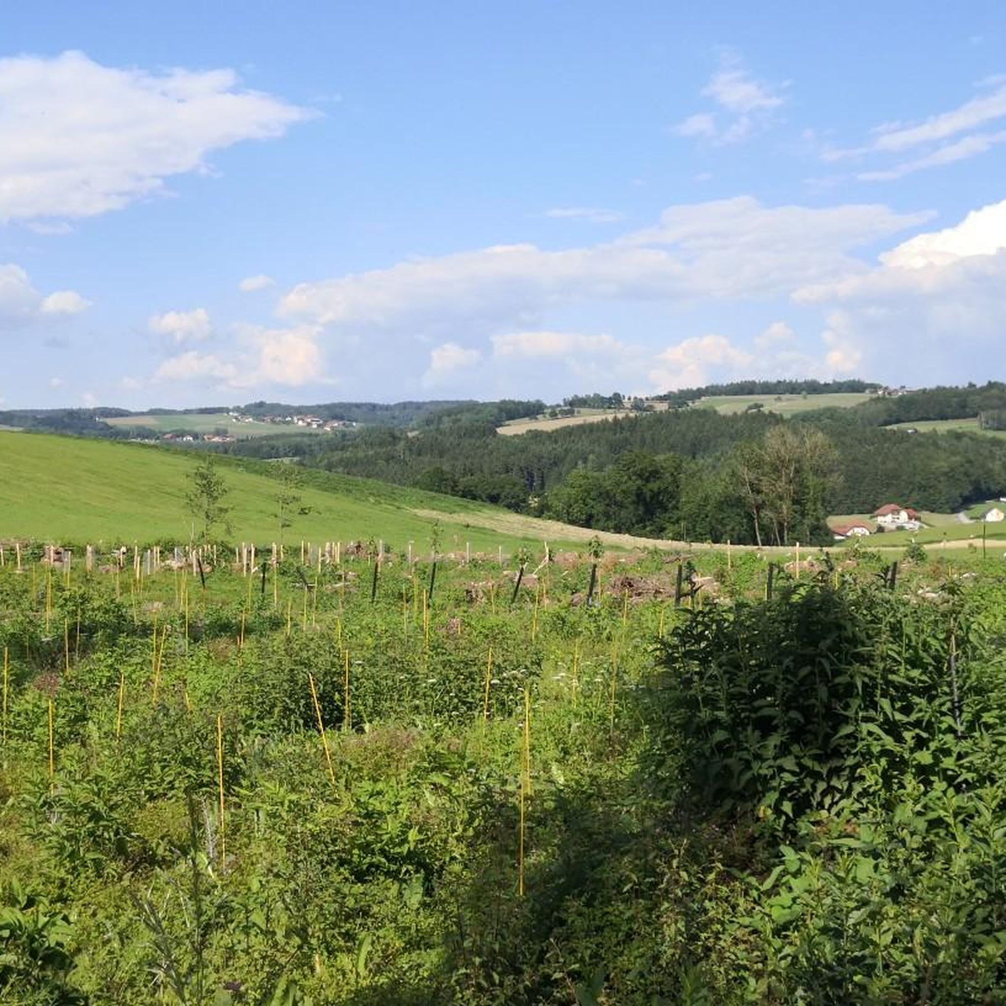
Ameisberg Summit (729 m)
Highlight • Summit
is called Hochholzstein by the local population and has been a popular excursion …
Translated by Google •
Tip by

Sign up now to discover places like this
Get recommendations on the best single tracks, peaks, & plenty of other exciting outdoor places.
Sign up for free
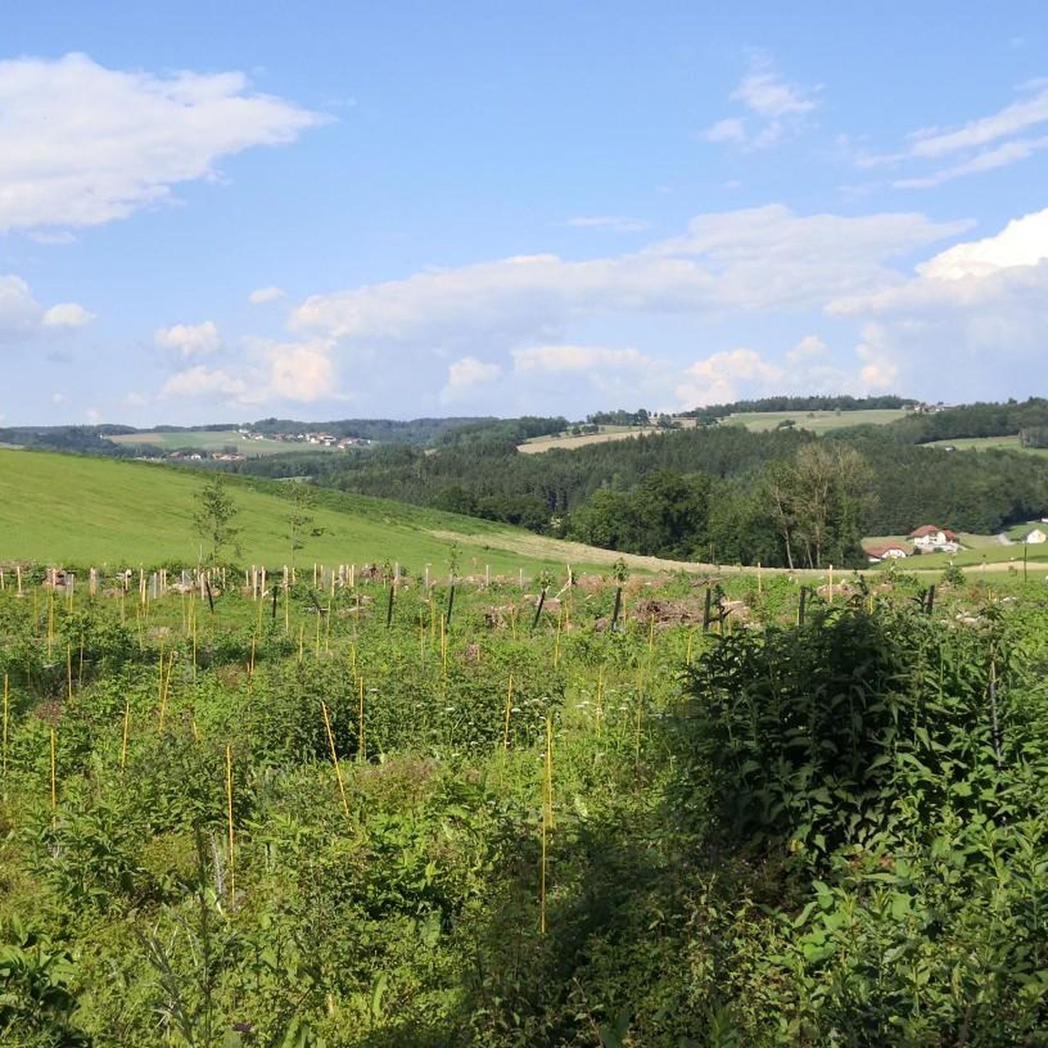
Turnstein Rock Formation and Views of the Alpine Foothills
Highlight • Natural Monument
Translated by Google •
Tip by

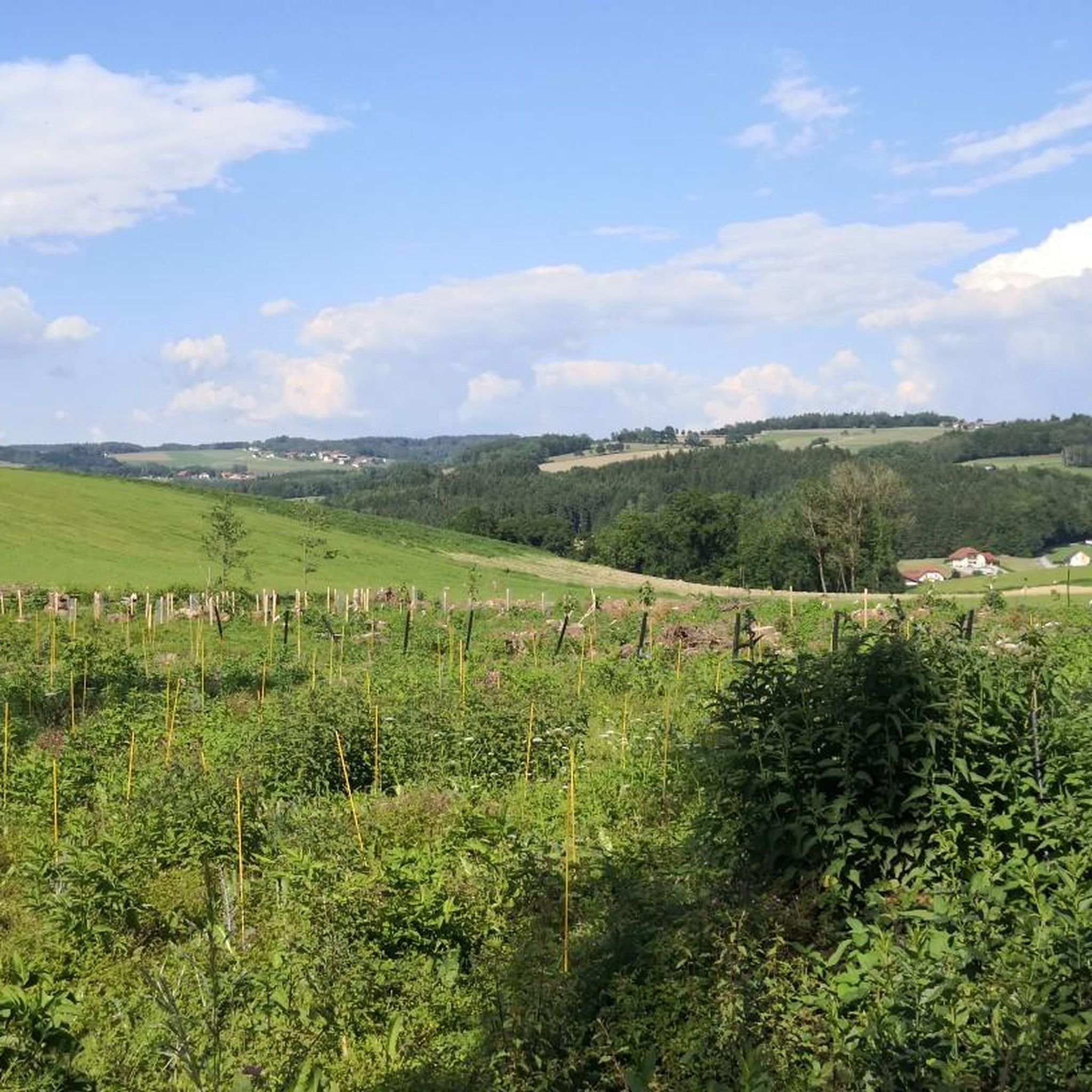
Hoher Schachen Viewpoint (498 m)
Highlight • Viewpoint
Translated by Google •
Tip by

Großer Schefberg (791 m)
Highlight • Summit
Translated by Google •
Tip by
Start today with a free account
Your next adventure awaits.
Login or Signup
Tips from the Community

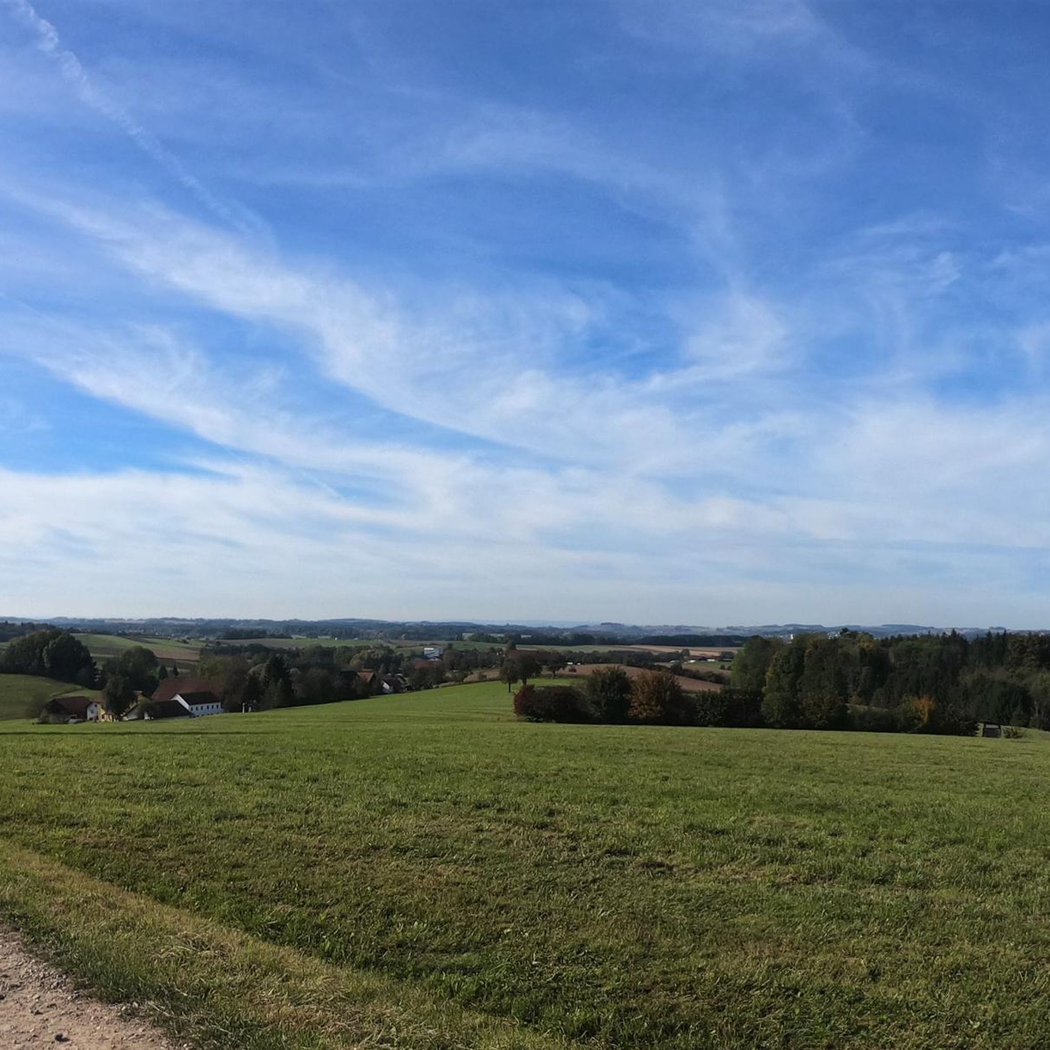
The highest point of Natternbach with a rest area and a wonderful view
1
0

Great view, quiet and sheltered spot, enough space for a rest and snack
1
0

Great view of the Alpine foothills
0
0

Here you will be rewarded with a fantastic view - even in cloudy weather! The gymnastics stone itself can be easily climbed by children and adults who remain children ;)
1
0

Hoher Schachen is a peak in Eggerding, Schärding District, Upper Austria. Hoher Schachen is located near Neundling and Kromberg. With a panoramic board at Hoch Schachen
0
1


Very beautiful view
1
0
A beautiful view of the foothills of the Alps
0
0
Frequently Asked Questions
What are the most notable elevated points in the Sigharting region?
While Sigharting itself is characterized by hills and undulating landscapes, the broader district of Schärding features several notable elevations. The highest and most prominent is Haugstein at 895 meters. Other significant points include Ameisberg Summit (729 m), Großer Schefberg (791 m), and Hoher Schachen (498 m).
Which peaks or viewpoints offer the best panoramic views around Sigharting?
For expansive views, consider visiting Turnstein – Highest Point in Natternbach, which provides vistas as far as the Alps. Similarly, the Turnstein Rock Formation and Views of the Alpine Foothills offers excellent perspectives of the Alpine foothills. The Ameisberg Summit (729 m) is also known for its great views and a quiet spot for rest.
Are there family-friendly hiking options among the peaks near Sigharting?
Yes, several spots are suitable for families. Turnstein – Highest Point in Natternbach and Turnstein Rock Formation and Views of the Alpine Foothills are both categorized as family-friendly. The Hoher Schachen Viewpoint (498 m) also welcomes families and features a panoramic board.
What kind of hiking trails can I find near Sigharting's elevated areas?
You'll find a variety of hiking trails with varying elevation gains, suitable for different fitness levels. For easier walks, explore routes like the "Parish Church of Sigharting – View from Grub loop from Sigharting" or the "Pram Bridge in Antersham – Lohsdorf loop from Andorf." You can find more options in the Easy hikes around Sigharting guide.
What other outdoor activities can I do near these mountain peaks?
Beyond hiking, the region around Sigharting offers excellent opportunities for cycling and running. You can explore routes like the "Ibex Enclosure Near Allerding – Pram Weir in Etzlsdorf loop" for cycling, or the "Unterpramau Running Route loop" for running. Discover more options in the Cycling around Sigharting guide and the Running Trails around Sigharting guide.
What is the best time of year to visit the peaks around Sigharting?
The region is generally pleasant for outdoor activities from spring through autumn. These seasons offer mild weather conditions ideal for hiking and enjoying the views. While winter hiking is possible, trails may require appropriate gear due to snow or ice.
Are there any natural monuments or unique geological features to see?
Yes, the Turnstein Rock Formation and Views of the Alpine Foothills is a designated natural monument. Additionally, the Ameisberg Summit (729 m) features a notable 10-meter vertical rockfall on its south side.
What do visitors enjoy most about the elevated areas near Sigharting?
Visitors frequently highlight the stunning panoramic views, especially those extending to the Alps, and the peaceful, natural surroundings. Many appreciate the well-maintained trails and the opportunities for rest and relaxation at various viewpoints, such as the benches found at Turnstein – Highest Point in Natternbach.
Are there any less crowded trails or viewpoints for a quieter experience?
While specific crowd levels can vary, exploring some of the local loop trails, such as the "Pfudabach Stream loop from Sigharting," can offer a more tranquil experience away from the more popular viewpoints. The Ameisberg Summit (729 m) is often described as a quiet and sheltered spot.
What should I pack for a hike in the Sigharting region during autumn?
For autumn hikes, it's advisable to pack layers of clothing to adapt to changing temperatures, waterproof outer shell, sturdy hiking boots, and sufficient water and snacks. A map or GPS device is also recommended, along with a fully charged phone. Consider bringing a camera to capture the scenic views.
Are there any specific challenges or difficulties on the trails around Sigharting's peaks?
Most trails around Sigharting are moderate, involving varying elevation gains. Some highlights, like the Ameisberg Summit (729 m), are rated as intermediate. While not towering mountains, the ascents can still be demanding, so a reasonable level of fitness is beneficial. Always check the difficulty rating of specific routes before heading out.
Most popular attractions around Sigharting

Get inspired with the komoot mobile app


Explore more
See even more amazing summits around Sigharting with these guides:
