Top 4 Gorges in Colombia
Canyons in Colombia are notable for their diverse geological formations and varied ecosystems. The country's geography, characterized by the Andean mountain ranges, contributes to the formation of deep river gorges and unique arid landscapes. These regions offer a range of natural features, from towering cliffs to intricate rock formations and significant biodiversity.
Best canyons in Colombia
- The most popular canyons is Tatacoa Desert, an other natural area that is an approximately 330 km² desert located in the northern part…
Last updated: June 28, 2026
Tatacoa Desert
Highlight • Natural
Translated by Google •
Tip by

Magdalena River Gorge
Highlight • Gorge
Translated by Google •
Tip by
Sign up now to discover places like this
Get recommendations on the best single tracks, peaks, & plenty of other exciting outdoor places.
Sign up for free
Los Estoraques Unique Natural Area
Highlight • Natural Monument
Translated by Google •
Tip by

La Variante Bridge, Quebrada Minas
Highlight • Bridge
Translated by Google •
Tip by

View of Tatacoa Desert
Highlight • Viewpoint
Translated by Google •
Tip by
Start today with a free account
Your next adventure awaits.
Login or Signup
Popular around Colombia

Chingaza Loop – Bikepacking Colombia Scouting

South American Epic — From Cartagena to Ushuaia
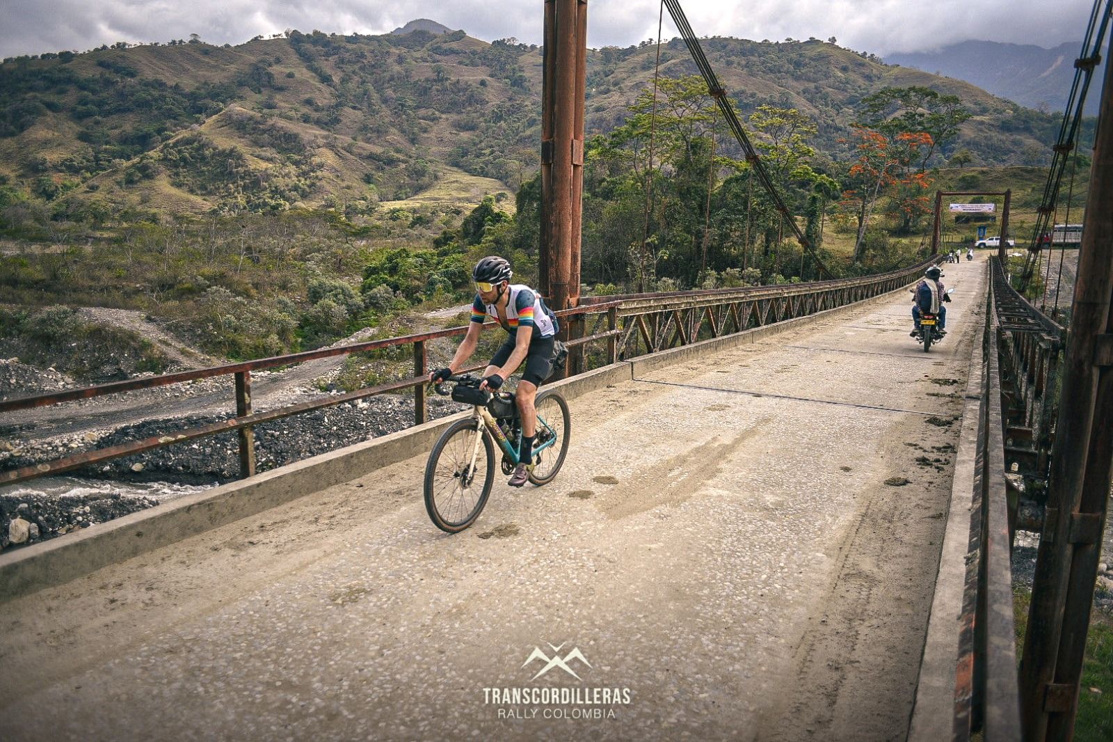
Transcordilleras 2022 — eight-day bikepacking race through the Andes
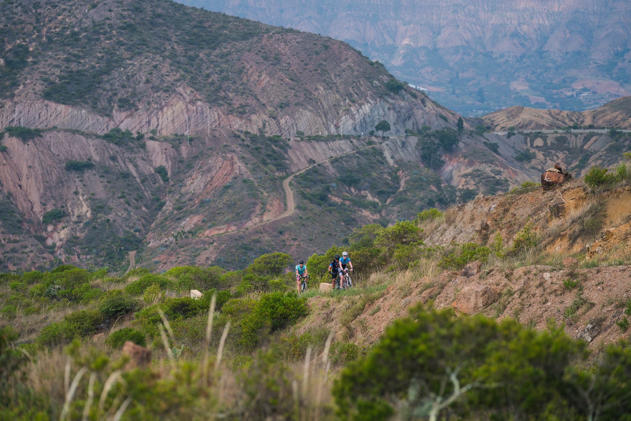
Gravel rides of the Colombian Boyoca region
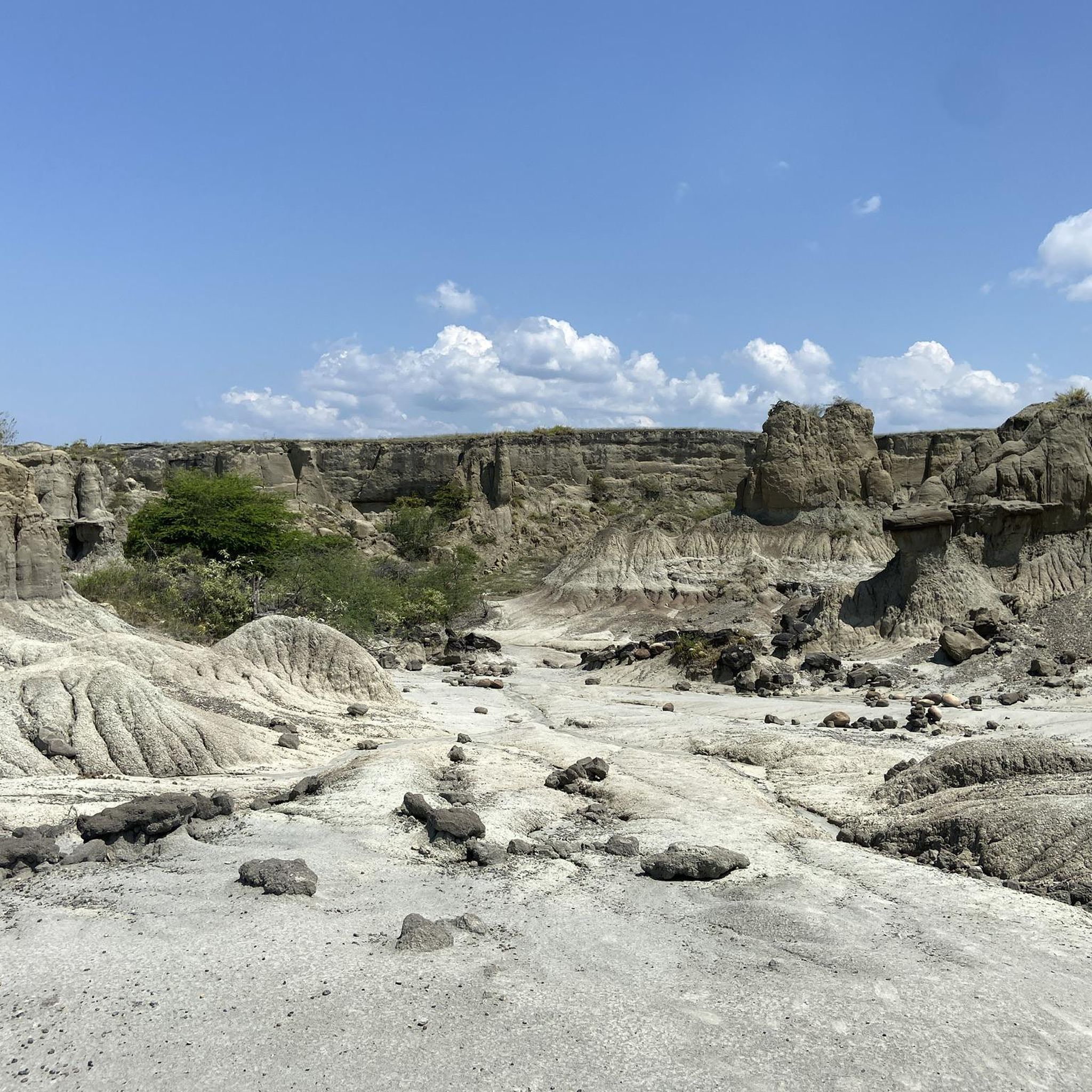
Hiking in Colombia
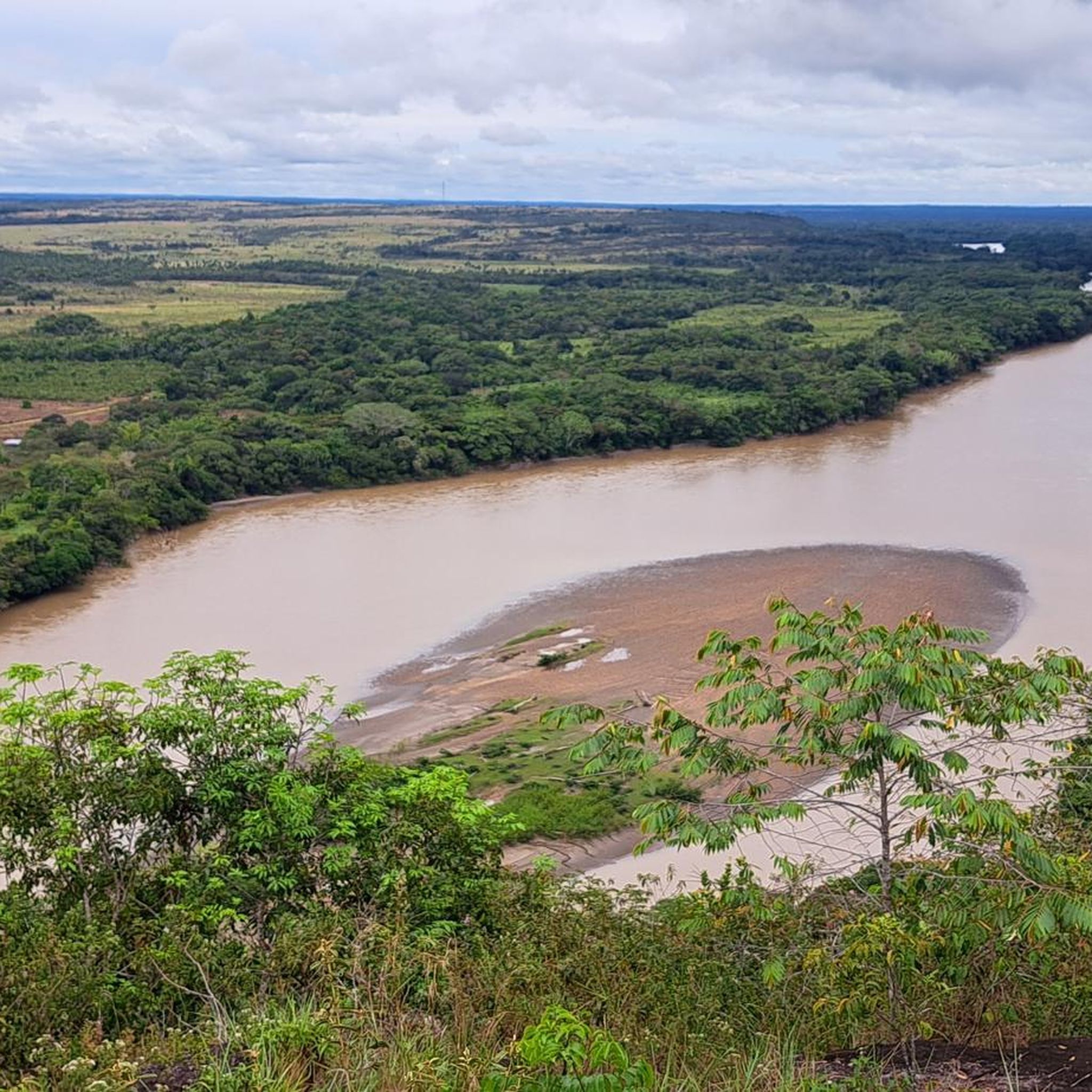
Road Cycling Routes in Colombia
Cycling in Colombia
Running Trails in Colombia
MTB Trails in Colombia
Gravel biking in Colombia
Other adventures in Colombia


Tips from the Community

The Los Estoraques Unique Natural Area (UNA) takes its name from a plant species called "estoraque" (Styrax guianensis) that no longer exists in the area due to its indiscriminate use for medicine and soap making. For thousands of years, wind and water have formed hundreds of geological forms. It is one of the smallest protected areas in Colombia, covering only 6.4 km² of surface area. Considered unique in its kind for its beautiful, fragile and eroded landscapes, the area is located at an altitude ranging from 1,450 to 2,100 meters above sea level, in the heart of the Eastern Cordillera of the Andean region. Archaeological remains such as urns, mummies, caves with bones and petroglyphs have been found near the park, however they have not been able to be attributed to any particular culture.
0
0

Spectacular landscape at the junction of the Altamira River and the Minas ravine. Very nice point. Rappelling activities are carried out
1
0

The Magdalena Strait is the narrowest part of the river at 2.20 m, after 70 km on the way from the source to the mouth. The slopes consist of more than 70 million years old compacted lava from the volcanoes of "Pelota" and "Purutal". The reddish color of some rocks is due to the presence of iron sulphate in the area. In some rocks there are 120 million year old sea shells, so-called ammonites. It is considered a sacred place and most indigenous people built their villages along rivers such as the Magdalena.
1
0
The Magdalena Strait is the narrowest part of the river at 2.20 m, after 70 km on the way from the source to the mouth. The slopes consist of more than 70 million years old compacted lava from the volcanoes of "Pelota" and "Purutal". The reddish color of some of the rocks is due to the presence of iron sulphate in the area. In some rocks there are 120 million year old sea shells, so-called ammonites. It is considered a sacred place and most indigenous people built their villages along rivers such as the Magdalena. Also accessible by horseback riding.
0
0
It's hard to believe that a river more than 1500km long can fit through such a narrow gap (about 2m). But that's how he gets strong and vigorous for his long voyage into the Atlantic. The Cordillera in the San Agustín area is a special watershed. Within a few kilometers it is decided whether the water will flow into the Pacific (Rio Cauca), down the Amazon basin or over the Rio Magdalena into the Atlantic.
4
0
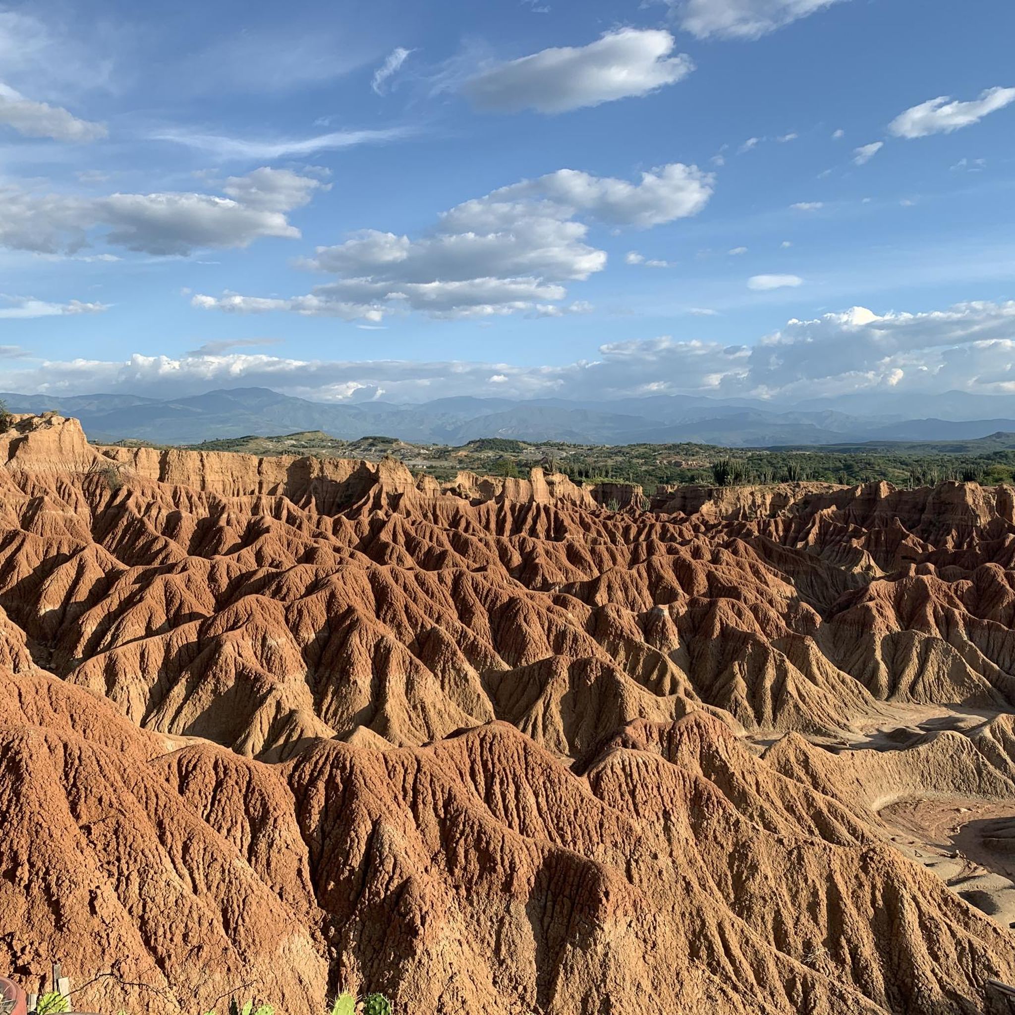
The Tatacoa Desert (Spanish: Desierto de la Tatacoa) is an approximately 330 km² desert in Colombia. It is located in the northern part of the Departamento del Huila in the valley of the Río Magdalena in the municipality of Villavieja, about 40 km north of the department capital Neiva and only about 3° north of the equator. The average temperature is over 28 °C. The Tatacoa Desert owes its existence to the special geographic location between the two mountain ranges of the Central and Eastern Cordillera in a dry basin at the foot of the Eastern Cordillera. As a result, it lies in the double rain shadow and usually remains low in precipitation even in the rainy season. Due to the high average temperature, the amount of precipitation of around 1000 mm per year is not sufficient to compensate for evaporation. The name Tatacoa comes from a species of snake originally native to the desert but now extinct. Source: https://de.wikipedia.org/wiki/Tatacoa-W%C3%BCste
2
0

the narrowest point of the Magdalena
0
0

The Tatacoa Desert is a unique landscape and is an extraordinary experience in Colombia.
2
0
Frequently Asked Questions
What unique geological features define Colombia's canyons?
Colombia's canyons showcase diverse geological formations. You can find arid landscapes with towering cliffs and intricate rock formations, such as the Tatacoa Desert. The Magdalena River Gorge features slopes of over 70-million-year-old compacted lava. In the Los Estoraques Unique Natural Area, wind and water have sculpted hundreds of unique geological shapes over millennia.
Which canyons offer the best opportunities for adventure sports?
For adventure sports, Chicamocha Canyon is excellent for paragliding, ziplining, canyoning, and rafting. Guape Canyon is known for tubing, kayaking, and spelunking. Cañón del Río Combeima provides rappelling, canyoning, rock climbing, and ziplining. The Cañón del Río Güejar is a prime spot for rafting, especially for beginners, and also offers tubing in the nearby Cafre River Canyon.
Are there family-friendly activities available in Colombia's canyons?
Yes, several canyons offer family-friendly options. Chicamocha National Park, located within Chicamocha Canyon, features an ostrich aviary and a goat park, alongside its famous cable car. Many locations also offer gentle hiking trails and opportunities for swimming in natural pools, such as those found in Guape Canyon and Cañón del Río Combeima.
What is the best time of year to visit Colombia's canyons?
The best time to visit Colombia's canyons generally depends on the specific region, but dry seasons are often preferred for outdoor activities. For Chicamocha Canyon, the weather is typically arid. For water-based activities in Guape Canyon and Cañón del Río Güejar, it's advisable to check local conditions as river levels can vary seasonally.
Can I find historical or cultural sites near the canyons?
Yes, some canyons have historical significance. The Magdalena River Gorge is considered a sacred place, with indigenous people historically building villages along its banks. The Chicamocha Canyon area also features ancient 'caminos reales' (royal paths) for hiking, offering a connection to the landscape's history. Archaeological remains, including urns and petroglyphs, have been found near the Los Estoraques Unique Natural Area.
What kind of wildlife can I expect to see in these canyon regions?
Colombia's canyons are rich in biodiversity. Chicamocha Canyon supports unique species like the Chestnut-Bellied Hummingbird and the Colombian Baobab tree. Cañón del Río Combeima is home to Andean bears, condors, foxes, and over 300 bird species. The Güejar River Canyon is also a sanctuary of diverse flora and fauna, making it excellent for wildlife observation.
Are there opportunities for hiking or trekking near Colombia's canyons?
Absolutely. Hiking is a popular activity. In Chicamocha Canyon, you can hike along ancient 'caminos reales'. Cañón del Río Combeima offers ecological hikes, and many areas around Guape Canyon and Cañón del Río Güejar have trails for exploring the local flora and fauna. For more extensive hiking and cycling options, you can explore routes in the wider region, such as those listed in the Cycling in Colombia guide.
What are the access options for Chicamocha Canyon?
Chicamocha Canyon is primarily accessed via Chicamocha National Park (Panachi), which offers panoramic views. A major highlight is the 6.3-kilometer cable car system that provides an aerial journey across the canyon. You can find more information about visiting Chicamocha National Park on external resources like visitmycolombia.com.
Can I find viewpoints with spectacular scenery in Colombia's canyons?
Yes, many canyons offer breathtaking viewpoints. Chicamocha Canyon provides panoramic views from various points, including Chicamocha National Park. The View of Tatacoa Desert is another unique landscape. Cañón del Río Combeima offers spectacular views, especially towards the Nevado del Tolima volcano, and a cable car ride provides unique perspectives.
What are some lesser-known but equally impressive canyons to visit?
Beyond the most famous, Guape Canyon in the Meta department is an emerging gem, offering thrilling water-based adventures amidst giant rock formations. Cañón del Río Combeima, near Ibagué, is a natural reserve with over 50 waterfalls and rich biodiversity, serving as a gateway to the Nevado del Tolima volcano. Cañón del Río Güejar, also in Meta, is known for its spectacular rock formations and vibrant rainforest.
Are there any cycling routes near these canyon areas?
Yes, the broader region around Colombia's canyons offers various cycling opportunities. You can find numerous routes for different cycling styles, including touring, gravel, and road cycling. For example, there are many routes listed in the Cycling in Colombia, Gravel biking in Colombia, and Road Cycling Routes in Colombia guides.
What should I pack for a visit to Colombia's canyons?
Packing essentials will vary based on your planned activities. For hiking and adventure sports, bring appropriate footwear, sun protection (hat, sunscreen), and plenty of water. If you plan on water activities like tubing or rafting, swimwear and quick-drying clothes are essential. For visits to arid regions like the Tatacoa Desert, lightweight clothing and protection from the sun are crucial due to average temperatures over 28 °C.
Most popular routes in Colombia
Most popular attractions in Colombia

Get inspired with the komoot mobile app


Explore more
Already discovered everything in this region? See additional gorges in Colombia for your next adventure:
