The 3 Most Amazing Peaks in Tibasosa
Mountain peaks in Tibasosa, Colombia, are situated in a mountainous region of the Andes, with elevations typically ranging from 2,538 to 2,748 meters above sea level. The area features notable high-altitude points and offers various hiking opportunities. Key natural attractions include Cerro Guática and the high-altitude wetlands, or páramos, of Ocetá and Los Curies. These areas provide diverse landscapes for exploration and outdoor activities.
Best mountain peaks in Tibasosa
- The most popular mountain peaks is Curies Summit, a mountain…
Last updated: June 24, 2026
Curies Summit
Highlight • Mountain Pass
Translated by Google •
Tip by

Summit of Alto de Guatika and Antennas
Highlight • Summit
Translated by Google •
Tip by
Sign up now to discover places like this
Get recommendations on the best single tracks, peaks, & plenty of other exciting outdoor places.
Sign up for free
Duitama Antennas
Highlight • Structure
Translated by Google •
Tip by
El Gavilán Summit
Highlight • Summit
Translated by Google •
Tip by
Summit of the Pine Forest
Highlight • Summit
Translated by Google •
Tip by
Start today with a free account
Your next adventure awaits.
Login or Signup


Tips from the Community


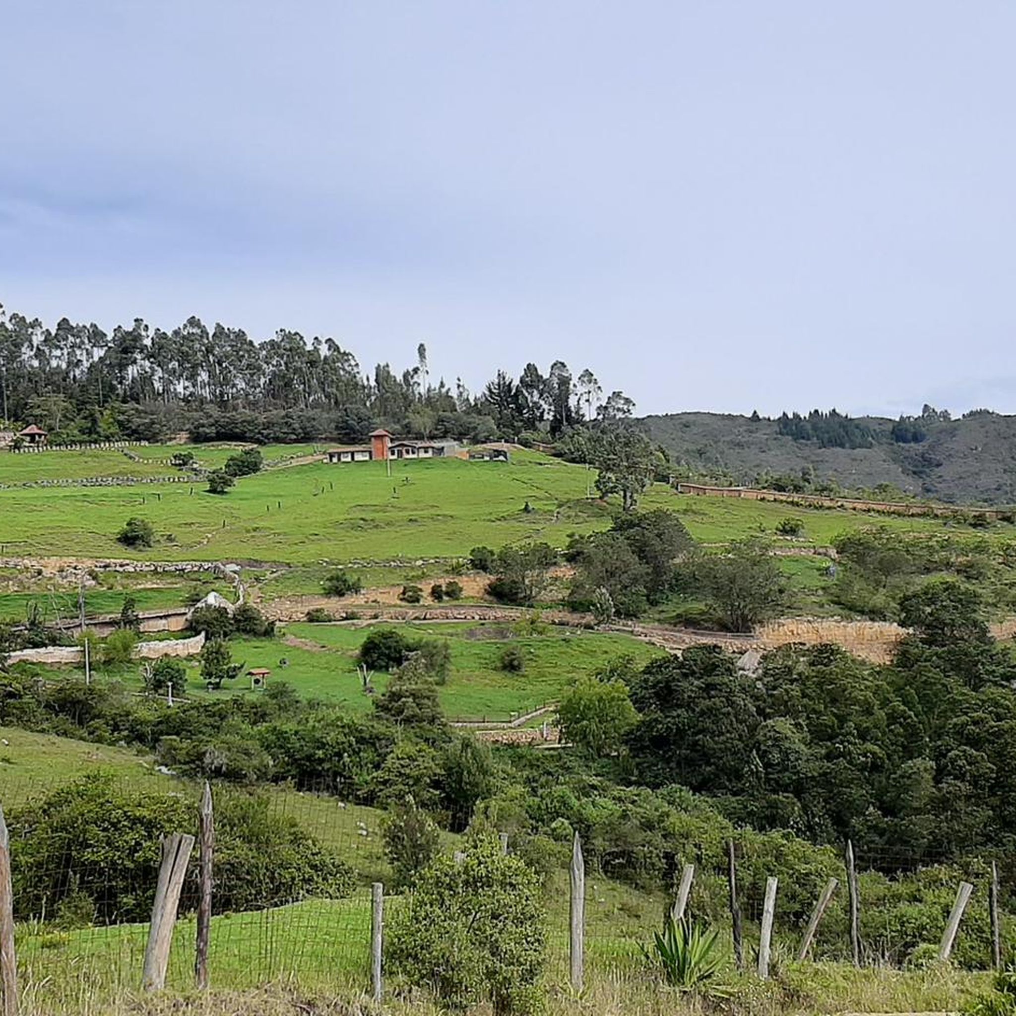
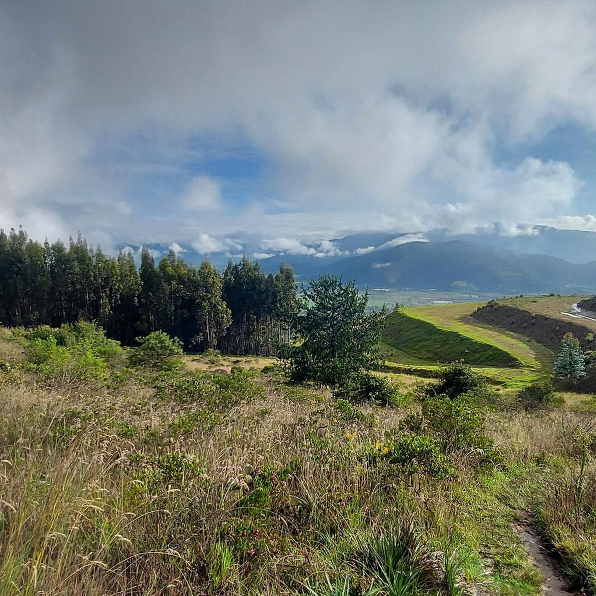
Summit of the Guatika hill. 3225 masl. The last kilometer is demanding given the condition of the road. A lot of loose rock makes it difficult to ride. The last 200 meters require a technical climb over rock slabs. The arrival is satisfactory given the effort, the height and the spectacular views. You can see Tibasosa, Sogamoso, Duitama, Paipa, Firavitoba, Iza, Nobsa, Punta Larga and Gámeza. It would be a spectacular cycling destination if they paved or had a tread plate in the last kilometer.
0
0
Uncovered route that crowns one of the most demanding segments. In July 2023, the vineyard was flattened with topdressing. It is difficult but doable.
0
0
From Valle de los Sauces, this forest crowns a climb that, although it has a path in good condition, is demanding due to the ramps (with tread plates) and length.
0
0
After K8 (which is paved) begins an unpaved climb up to the antennas. Earrings up to 15%. Ascent to 3318 masl.
0
0
Mythical port very visited by road and mountain cyclists. Elevation of 2900 meters above sea level. Completely paved section from Firavitoba. From Paipa there are still some segments to be paved.
1
0
Frequently Asked Questions
What are the most notable mountain peaks and high-altitude areas to explore in Tibasosa?
Tibasosa offers several significant high-altitude features. You can explore the Summit of Alto de Guatika and Antennas, known for its challenging ascent and panoramic views of the region. Another key area is the Curies Summit, a mythical port popular with cyclists, located within the unique páramo ecosystem of Los Curies.
Are there challenging climbs for experienced hikers or cyclists in Tibasosa?
Yes, Tibasosa offers several challenging ascents. The Summit of Alto de Guatika and Antennas, reaching 3225 meters above sea level, features a demanding last kilometer with loose rock and technical rock slab climbing. Similarly, the Duitama Antennas climb is unpaved with steep sections up to 15% grade, ascending to 3318 meters above sea level.
What kind of views can I expect from the mountain peaks in Tibasosa?
From peaks like the Summit of Alto de Guatika and Antennas, you can enjoy spectacular panoramic views. These vistas often include surrounding towns such as Tibasosa, Sogamoso, Duitama, Paipa, Firavitoba, Iza, Nobsa, Punta Larga, and Gámeza, offering a breathtaking perspective of the Boyacá region.
What unique natural environments can I find near Tibasosa's peaks?
Beyond the peaks themselves, Tibasosa is surrounded by high-altitude wetlands known as páramos, such as Ocetá and Los Curies. These unique ecosystems are characterized by distinctive flora and fauna, cold, wet, and windy conditions, and offer a tranquil environment for nature enthusiasts.
Are there specific trails or routes for cycling near the mountain peaks?
Absolutely. The Curies Summit is particularly popular with both road and mountain cyclists, often described as a 'mythical port.' For more cycling options, you can explore various routes in the area, including those found in the Cycling in Tibasosa and Road Cycling Routes in Tibasosa guides.
What are some options for running trails near Tibasosa's mountainous areas?
If you're looking for running opportunities, there are several routes available near Tibasosa. You can find various running loops, including those starting from Paipa or Club Militar Paipa, which offer moderate difficulty. Check out the Running Trails in Tibasosa guide for detailed options.
What is the elevation of the mountain peaks in Tibasosa?
The mountainous region around Tibasosa generally ranges from 2,538 to 2,748 meters (8,327 to 9,016 ft) above sea level. Specific highlights include the Curies Summit at 2,900 meters and the Summit of Alto de Guatika and Antennas at 3225 meters.
Are there any forest areas to explore near the peaks?
Yes, the Summit of the Pine Forest offers a climb through a forest, providing a different natural setting. While the path is generally in good condition, it can be demanding due to its ramps and length.
What should I know about the road conditions when accessing these peaks?
Road conditions can vary significantly. For instance, the section leading to Curies Summit from Firavitoba is completely paved, though some segments from Paipa may still be unpaved. The final kilometer to the Summit of Alto de Guatika and Antennas is demanding with loose rock, and the last 200 meters require a technical climb over rock slabs.
What kind of wildlife can be found in the mountainous areas around Tibasosa?
The mountainous areas, particularly the páramos like Ocetá and Los Curies, are known for their distinctive flora and fauna, characteristic of high-altitude ecosystems. Additionally, a bio-park located along a slope overlooking Tibasosa is home to many endangered species rescued from animal traffickers and circuses.
Is there a good time of year to visit Tibasosa for mountain activities?
The páramo ecosystems, which include areas like Curies Summit, are known for cold, wet, and windy conditions, with precipitation often occurring as rain and occasional snow at higher elevations. It's advisable to be prepared for these conditions regardless of the season, and check local weather forecasts before your visit.
Most popular attractions in Tibasosa

Get inspired with the komoot mobile app


Explore more
See even more amazing summits in Tibasosa with these guides:
