The 4 Most Amazing Peaks around Arrouquelas
Mountain peaks around Arrouquelas are characterized by a tranquil rural and agricultural landscape. While the region does not feature major mountainous terrain, it includes elevated points and hills that contribute to its local topography. The area offers scenic walks through pastoral areas and sites of historical interest, such as the unique Rio Maior Salt Pans. The Santarém District, where Arrouquelas is located, has its highest peak at Aire, reaching an elevation of 680 meters.
Best mountain peaks around Arrouquelas
- The…
Last updated: July 3, 2026
Serra de Montejunto Watchtower
Highlight • Viewpoint
Translated by Google •
Tip by

Top of the eastern side of Montejunto mountain.
Highlight • Summit
A part of the trail that passes through this point is a bit technical with some loose rock, it …
Tip by

Sign up now to discover places like this
Get recommendations on the best single tracks, peaks, & plenty of other exciting outdoor places.
Sign up for free
Cabeço da Silheira
Highlight • Summit
Translated by Google •
Tip by
Cabeço do Monfarinho - Elevation 308 m
Highlight • Summit
Showing Translation
Tip by
Espigão Peak - Elevation 460 m
Highlight • Summit
Showing Translation
Tip by
Start today with a free account
Your next adventure awaits.
Login or Signup
Tips from the Community

The real access trail to Cabeço de Monfarinho does not start at the point indicated on the Komoot map, but about a hundred meters before. Pay attention to the path that will lead you to it.
0
0
The geodetic marker that marks this peak is a few dozen meters from the trail that passes next to it, and is only accessible on foot.
0
0
Locally, these small hills are called "cabeços". Cabeço da Silheira is one of the highest in the region, reaching 200m in altitude. It is therefore natural that it was chosen as the site for the installation of water tanks that supply the region's public water supply network. You can reach Cabeço da Silheira via a small asphalt road (very steep) or via one or two existing trails. If you choose to go along the trails, we recommend a mountain bike.
1
0

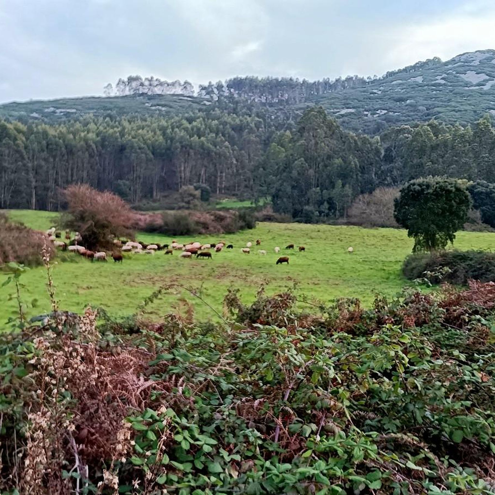
The Serra de Montejunto Forest Watch Station can be accessed via a pastoral trail from the picnic park. It offers a beautiful panorama of the region north of the Serra.
3
0
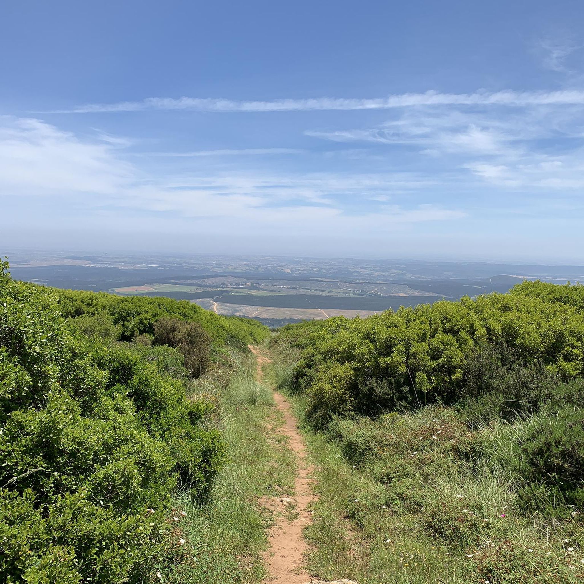
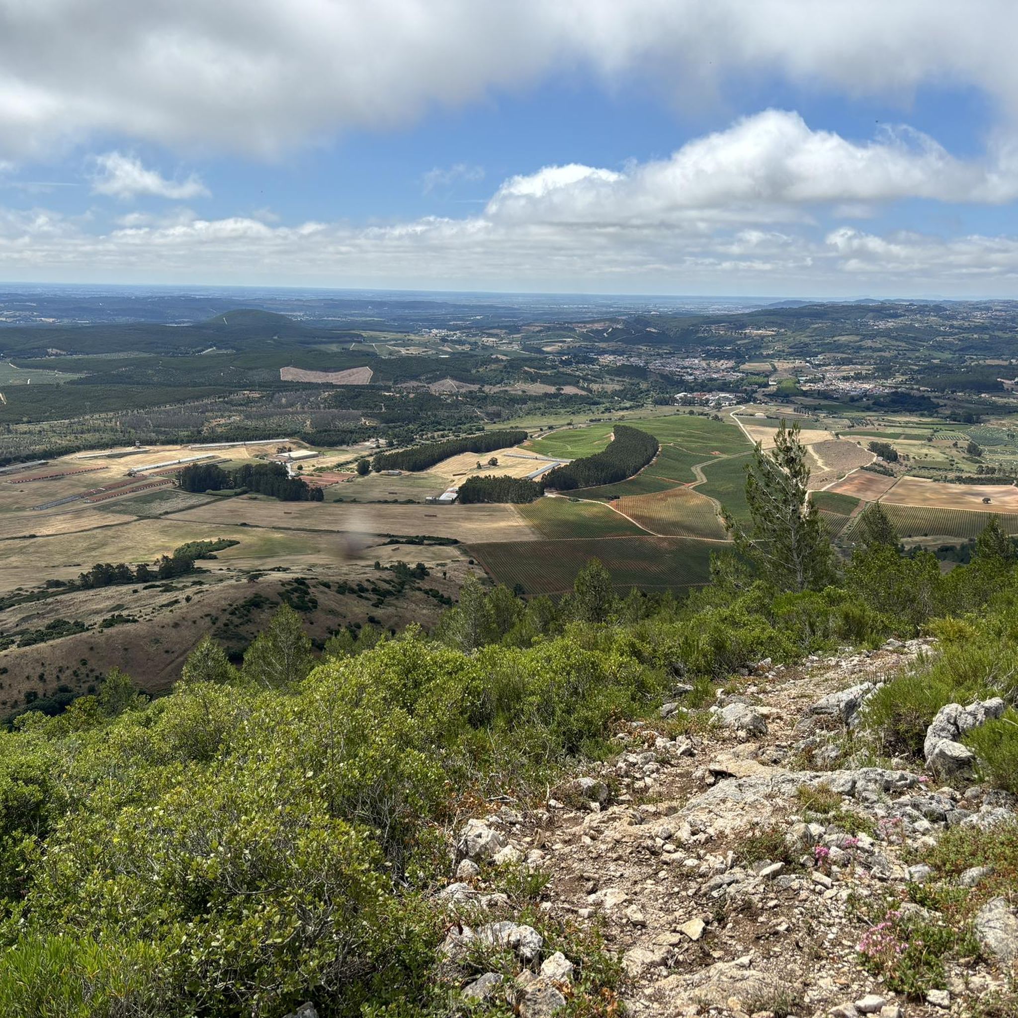
Usually this is a windy place, but the view is superb. A part of the trail that passes through this point is a bit technical with some loose rock, it may not be very recommended for gravel bikes with thin tires.
2
0
Frequently Asked Questions
What are the most notable elevated points or 'peaks' around Arrouquelas?
While Arrouquelas is known more for its rural landscape than traditional mountain peaks, the region features several elevated points offering views and hiking opportunities. These include the Serra de Montejunto Watchtower, the Top of the eastern side of Montejunto mountain, Cabeço da Silheira, Cabeço do Monfarinho - Elevation 308 m, and Espigão Peak - Elevation 460 m.
What kind of views can I expect from these elevated points?
Many of the elevated points around Arrouquelas, such as the Serra de Montejunto Watchtower and the Top of the eastern side of Montejunto mountain, offer superb panoramic views of the surrounding rural and agricultural landscape. The Top of the eastern side of Montejunto mountain is particularly noted for its expansive vistas.
Are there family-friendly walking options near these elevated areas?
Yes, the region offers various walking routes that can be suitable for families. For instance, the Hiking around Arrouquelas guide includes easy routes like the 'Cineteatro de Rio Maior loop from Rio Maior' which is 6.79 km long. These trails often traverse the agricultural landscape, offering a gentle introduction to the area's natural beauty.
What are the best times to visit Arrouquelas for outdoor activities?
The best time to visit for hiking and outdoor activities is typically during the spring (March to May) and autumn (September to November) when the weather is milder and more pleasant. Summers can be hot, and winters can be cooler and wetter, though still suitable for some activities.
What are the difficulty levels of trails leading to these elevated points?
Most trails leading to the elevated points, such as those around Montejunto, are generally rated as intermediate. For example, the trail passing through the Top of the eastern side of Montejunto mountain can be technical with some loose rock. Cabeço da Silheira can be reached via a steep asphalt road or trails, with mountain biking recommended for the latter.
Are there specific hiking trails near Arrouquelas that explore the local landscape?
Absolutely. The Hiking around Arrouquelas guide features several routes, including the 'Old Water Mill – Abandoned Mill loop' and the 'Cineteatro de Rio Maior – Salinas de Rio Maior loop'. These trails allow you to explore the unique agricultural landscape, wetlands, and historical sites like the Rio Maior Salt Pans.
What unique natural features can I find in the Arrouquelas region?
Beyond the elevated points, the region is notable for its unique natural features. The Rio Maior Salt Pans (Salinas de Rio Maior) are a significant attraction, being the only inland salt pans in Portugal and fully operational in Europe. The Paúl de Manique do Intendente wetland also offers significant ecological interest.
Can I go cycling near the elevated points around Arrouquelas?
Yes, cycling is a popular activity. The Road Cycling Routes around Arrouquelas guide and Cycling around Arrouquelas guide offer various routes. For instance, Cabeço da Silheira is accessible via a steep asphalt road or trails, with mountain biking recommended for the trails.
Are there any historical or cultural sites to visit while exploring the area?
The region around Arrouquelas is rich in history. The Rio Maior Salt Pans, for example, have references dating back to 1177, offering a glimpse into centuries of salt production. Hiking trails often pass through areas with local cultural and historical significance, such as old water mills and traditional agricultural landscapes.
What should I know about parking when visiting these elevated points?
While specific parking details for each 'peak' may vary, many trailheads for the surrounding hiking and cycling routes offer parking. It's advisable to check route details on Komoot for specific parking information near your chosen starting point. For Cabeço do Monfarinho, note that the real access trail starts about a hundred meters before the point indicated on some maps.
Are dogs allowed on the trails around Arrouquelas' elevated areas?
Generally, dogs are welcome on many outdoor trails in rural Portugal, especially if kept on a leash. However, it's always best to check specific regulations for natural parks or protected areas if your route passes through them. For general hiking around Arrouquelas, you'll likely find dog-friendly options.
Most popular routes around Arrouquelas
Most popular attractions around Arrouquelas

Get inspired with the komoot mobile app


Explore more
See even more amazing summits around Arrouquelas with these guides:
