The best road cycling routes around Kappelrodeck
4.5
(772)
10,438
riders
22
rides
Road cycling around Kappelrodeck offers diverse terrain, from the gentle undulations of vineyards and orchards to the challenging climbs within the Black Forest. The region is situated in the scenic Achertal valley, providing access to varied landscapes including the higher elevations of Hornisgrinde. Cyclists can navigate routes through agricultural areas with panoramic views or tackle more strenuous ascents into forested hills. This blend of features makes Kappelrodeck suitable for a range of road cycling experiences.
Best road cycling routes around…
Last updated: September 30, 2026
4.8
(22)
401
riders
74.9km
04:42
2,070m
2,070m
Hard road ride. Very good fitness required. Mostly well-paved surfaces and easy to ride.
5.0
(3)
177
riders
66.9km
03:25
1,130m
1,130m
Hard road ride. Very good fitness required. Mostly well-paved surfaces and easy to ride.

4.4
(5)
93
riders
57.2km
03:22
1,390m
1,390m
Hard road ride. Very good fitness required. Mostly well-paved surfaces and easy to ride.
4.0
(2)
79
riders
35.9km
02:05
820m
820m
Moderate road ride. Good fitness required. Mostly well-paved surfaces and easy to ride.
5.0
(1)
20
riders
102km
05:09
1,680m
1,680m
Hard road ride. Very good fitness required. Mostly well-paved surfaces and easy to ride.
Get access to more routes and recommendations from other explorers.
Already have an account?
Our route recommendations are based on thousands of hikes, rides, and runs completed by other people on komoot.
Start today with a free account
Your next adventure awaits.
Popular around Kappelrodeck
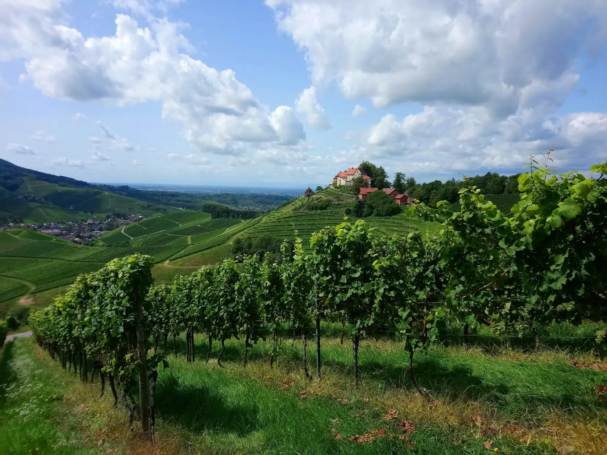
Ortenau Wine Trail – A glass of red and white, please
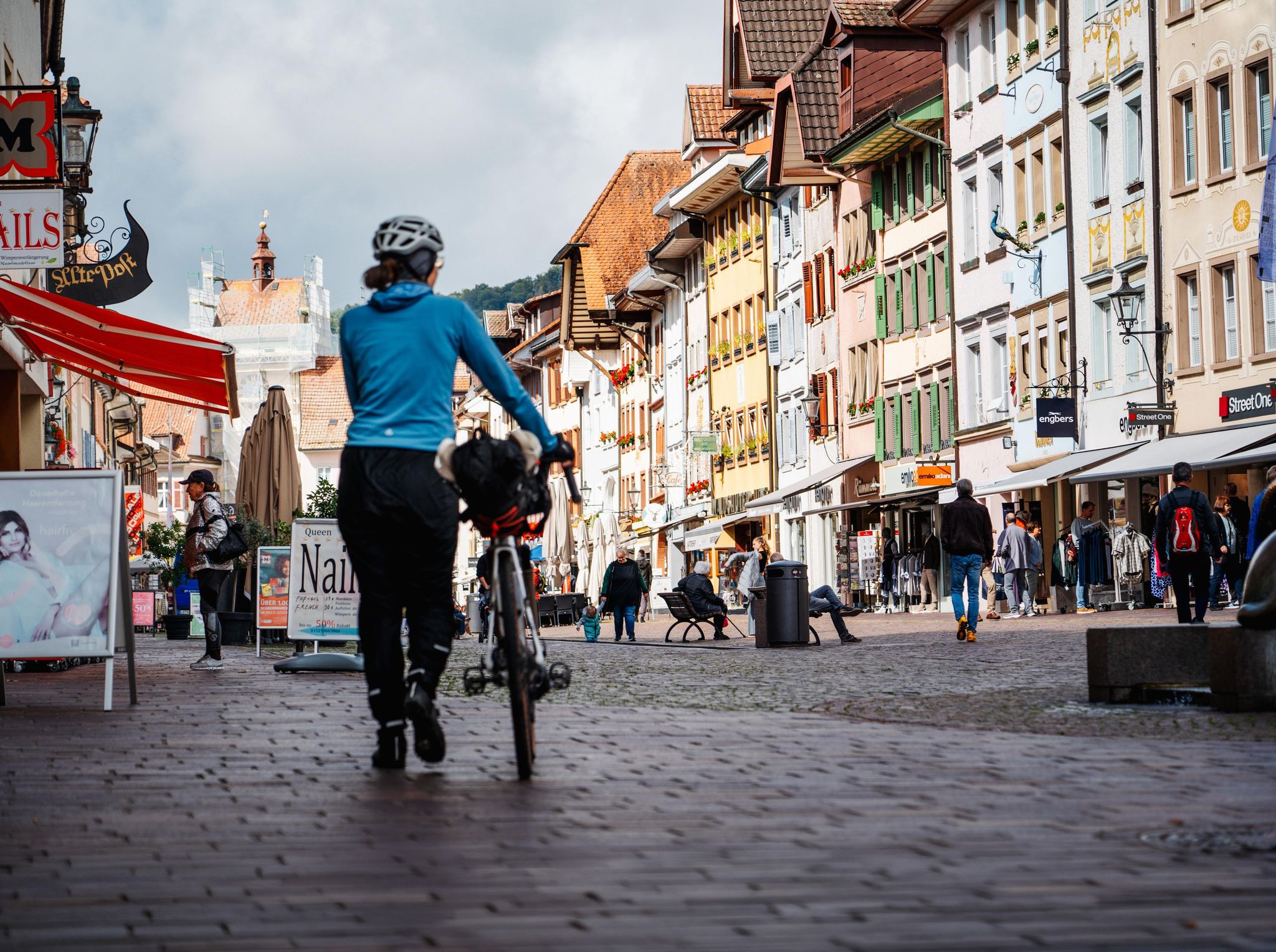
Adventure on two wheels – overnight cycling trips in Baden-Württemberg
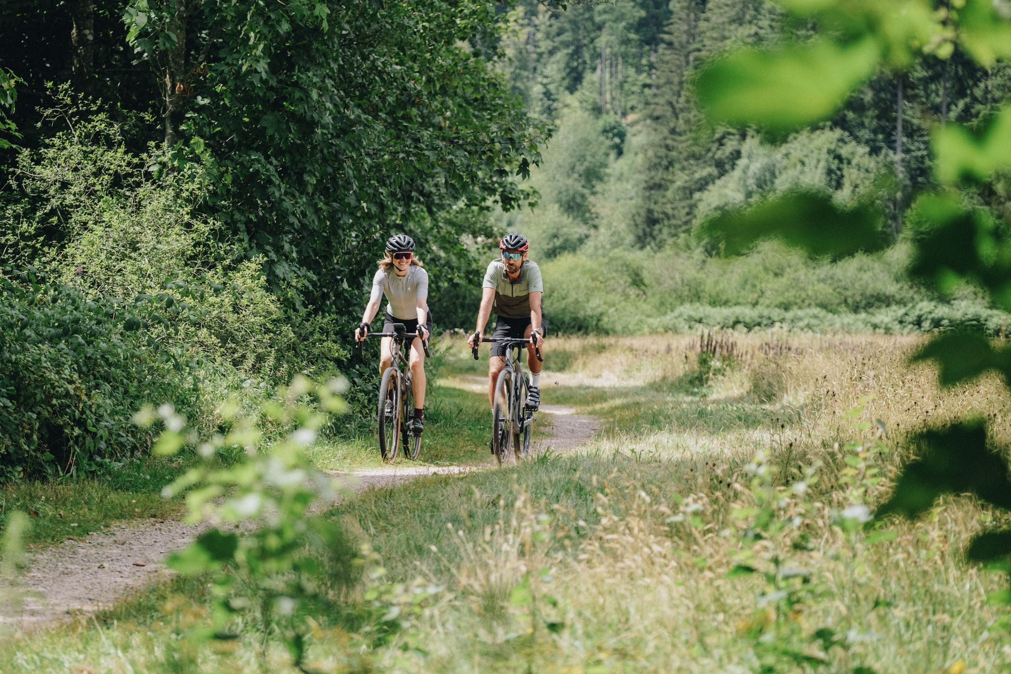
Let's gravel! Superb riding in the Black Forest National Park
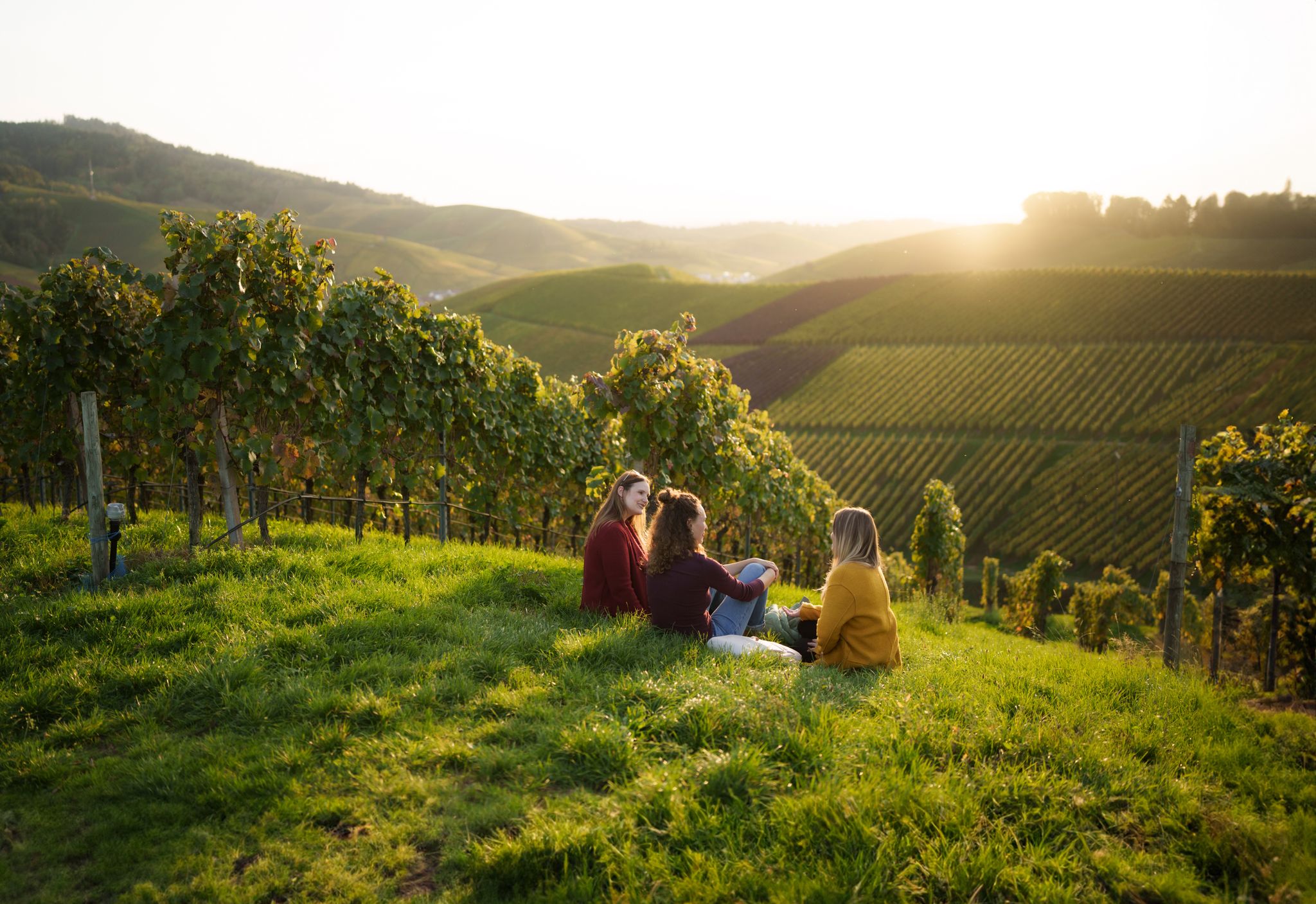
Picnics, wine and wide views – along the Baden Wine Route
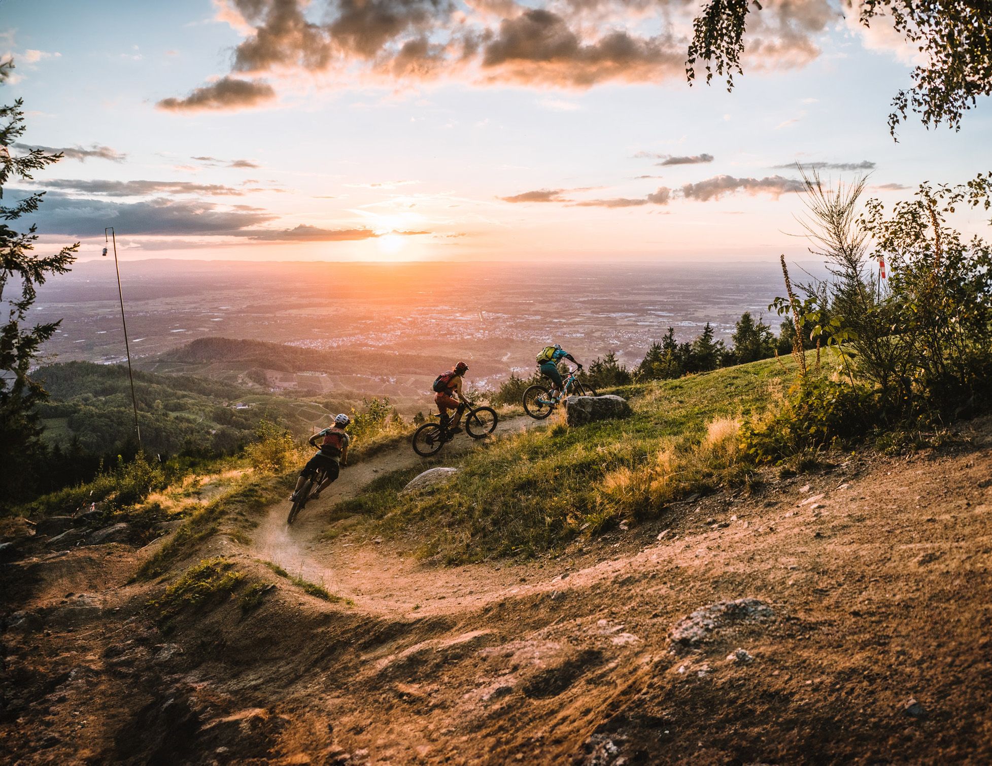
Discover the Black Forest on flowy trails
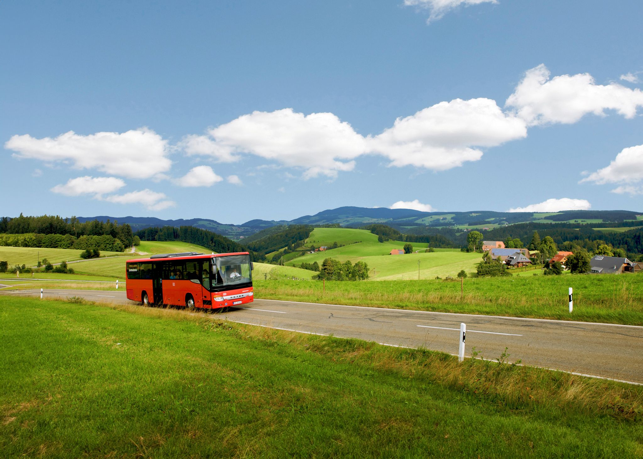
Car-free hiking adventures – the Black Forest without a car
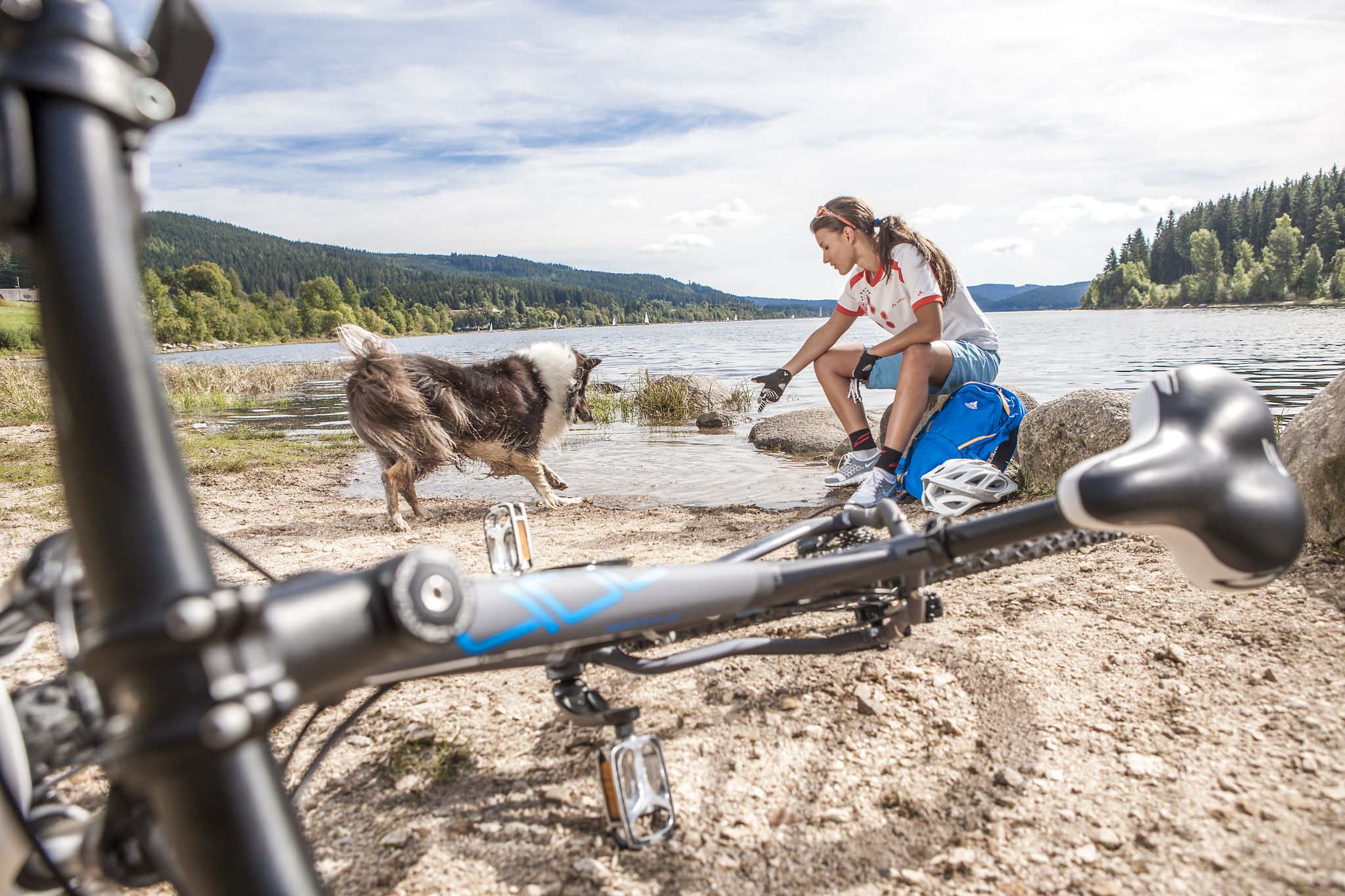
Panoramas, trails and lake hopping – biking in the Black Forest
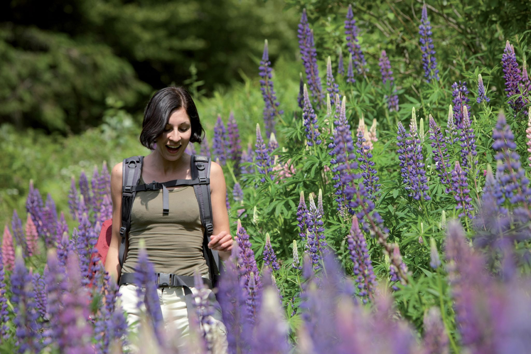
Exploring the Black Forest in Germany – fantastic trails & nature
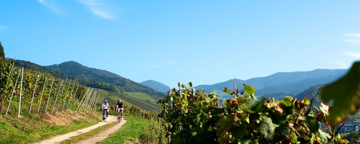
The Black Forest — Cycling in the realm of the "Bollenhüte"
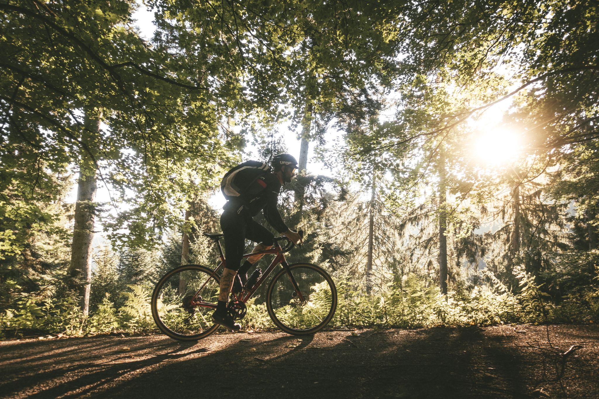
Ortenauer Gravelbike-Touren


Tips from the Community

A great ascent on a smooth, evenly steep, and car-free road. It's busy again at the viewing platform at the top, but you're all alone on the climb.
0
0
Great stretch through open, quite flat terrain.
0
0

called „Tour de Murg“) is an approx. 60 to 65 km long cycle path from the Northern Black Forest to the Rhine Valley
3
0

Great trails with a view over the Rhine valley 😍
0
0

Scenically beautiful with great views and good surface
0
0

It could be so beautiful: good road surface, peaceful nature, a pleasant, consistent incline. Access for motor vehicles is actually only permitted with a "special permit"—but there seem to be a lot of them (it is, after all, a convenient shortcut). Even with just a handful of vehicles, it gets a bit annoying, because the road often only accommodates one modern car (not to mention the trucks that use it during the logging season), and places to pull over are scarce. This means: pull onto the verge and let them pass (if you haven't already been overtaken with only 5 cm of clearance), which, of course, disrupts the flow of traffic. A radar like the Varia is helpful; otherwise, you're constantly looking behind you, paranoid. The official speed limit here is 30 km/h (realistically more of a "recommendation"), but the cars approach much faster. Going downhill, due to the aforementioned road width, it would be quite narrow when there's oncoming traffic, and the cars would block each other. I like the route and will probably continue to drive it from time to time depending on my mood, but unfortunately I can't wholeheartedly recommend it.
0
0


Hello to all cyclists, the Achertal cycle path from Ottenhöfen to Seebach is, in my opinion, wide enough, so you don't have to race downhill. Moreover, during the holiday season (Easter, Pentecost, summer, and fall break), it's very busy with vacationers with children and dogs. Very practical and beautiful rest areas, where you can relax and consciously enjoy the beautiful surroundings. Greetings, your guide Werner 🚴♂️🛣️🌲🌄🪵
1
1
Frequently Asked Questions
What types of terrain can I expect when road cycling around Kappelrodeck?
Kappelrodeck offers a diverse range of terrain for road cyclists. You'll find gentle, undulating routes through picturesque vineyards and fruit orchards, providing stunning panoramic views across the Rhine Plain and towards the Vosges Mountains. For those seeking more challenge, the region also provides access to the majestic Black Forest, featuring strenuous climbs and forested hills, including routes leading to the higher elevations of Hornisgrinde.
Are there road cycling routes suitable for beginners or families in Kappelrodeck?
Yes, Kappelrodeck caters to various skill levels. While many routes involve significant elevation, there are 3 easy routes available, often traversing the scenic vineyards and valleys on mostly paved surfaces. These provide a more relaxed cycling experience, such as the 'Cherry Orchards Path' mentioned in regional research, which is suitable for all skill levels.
What natural features and landmarks can I see along the road cycling routes?
Road cycling routes around Kappelrodeck often feature stunning natural beauty and notable landmarks. You can encounter the mystical Mummelsee, climb towards the Hornisgrinde Tower for expansive views, or cycle through extensive vineyards and fruit orchards. Additionally, nearby attractions include the impressive Gaishöll Waterfalls and Edelfrauengrab Waterfalls, as well as viewpoints like the Geigerskopf Tower.
Are there any challenging road cycling routes for experienced riders?
Absolutely. Kappelrodeck is an excellent destination for experienced road cyclists looking for a challenge. There are 5 difficult routes, many of which involve significant elevation changes as they ascend into the Black Forest. Routes like the Mummelsee – View of the Rhine Plain loop from Kappelrodeck, with over 2000 meters of elevation gain, offer strenuous climbs and rewarding descents.
What is the best time of year to go road cycling in Kappelrodeck?
Kappelrodeck is known as one of Germany's sunniest and warmest regions, making many designated cycling routes passable even in winter. However, for the most enjoyable experience, spring through autumn offers ideal conditions to explore the vineyards, orchards, and Black Forest. The extended cycling season allows for flexibility in planning your trip.
Are there circular road cycling routes available?
Yes, the majority of road cycling routes around Kappelrodeck are designed as loops, allowing you to start and end your ride in the same location. Examples include the View of the Rhine Plain – Mummelsee loop from Kappelrodeck Ost and the View of Mummelsee Hotel – Mummelsee loop from Kappelrodeck Ost, providing convenient round trips.
What do other road cyclists say about the routes in Kappelrodeck?
The road cycling routes in Kappelrodeck are highly regarded by the komoot community, with an average score of 4.6 stars from 32 reviews. Cyclists often praise the varied terrain, from the scenic vineyard paths to the challenging Black Forest climbs, and the stunning panoramic views, particularly across the Rhine Plain.
Are there any long-distance road cycling options from Kappelrodeck?
Yes, for those looking for longer rides, routes such as the Ellbachstraße – Murgtal Cycle Path loop from Kappelrodeck Ost extend over 100 kilometers, offering a significant challenge with substantial elevation gain. These routes allow for extensive exploration of the wider Black Forest region and beyond.
Where can I find scenic viewpoints along the road cycling routes?
Many routes are designed to maximize scenic outlooks. You'll find breathtaking views over the Rhine Valley and towards the Vosges Mountains from various points, especially along routes that ascend into the Black Forest. Notable viewpoints include the Geigerskopf Tower and the Brennte Schrofen viewpoint, which are excellent spots to pause and take in the panorama.
Are there any specific routes that feature waterfalls?
While the main road cycling routes focus on elevation and panoramic views, you can find stunning waterfalls in the immediate vicinity. The Gorges around Kappelrodeck guide highlights several, including the Gaishöll Waterfalls, Edelfrauengrab Waterfalls, and All Saints Waterfalls, which can be explored as detours or combined with a cycling trip.
What kind of infrastructure is available for cyclists in Kappelrodeck?
The Black Forest region, including Kappelrodeck, generally provides a cycling-friendly infrastructure. Many paths, particularly through vineyards and valleys, are on paved surfaces suitable for road bikes. You can expect well-maintained routes, and the area is known for its accessibility, making it a welcoming destination for cyclists.
Most popular routes around Kappelrodeck
Most popular attractions around Kappelrodeck

Get inspired with the komoot mobile app


Explore more
Browse the best Road cycling routes in other regions.
