Top 7 Gorges in Coronado National Forest
Best canyons in Coronado National Forest are found within a nearly 2 million-acre expanse across southeastern Arizona and southwestern New Mexico. This region is characterized by "sky islands," isolated mountain ranges surrounded by desert, creating diverse ecological zones. The canyons offer varied landscapes and recreational opportunities, from riparian areas to high-altitude forests. This ecological diversity supports a wide array of plant and animal life, making the canyons rich in wildlife viewing opportunities.
Best canyons in Coronado National Forest
- The most…
Last updated: June 27, 2026
Pusch Peak Trail
Highlight (Segment) • Trail
Tip by

Bear canyon trail crossing Sorono river
Highlight (Segment) • River
Tip by

Sign up now to discover places like this
Get recommendations on the best single tracks, peaks, & plenty of other exciting outdoor places.
Sign up for free
Sunset Trail #90
Highlight (Segment) • Trail
Tip by

Phoneline Trail (Stops 7–9), Pusch Ridge Wilderness
Highlight (Segment) • Trail
Tip by

Pima Canyon Trail
Highlight (Segment) • Trail
Tip by
Sign up for free to discover even more gorges in Coronado National Forest.
Sign up for free
Already have an account?
Start today with a free account
Your next adventure awaits.
Login or Signup
Popular around Coronado National Forest

Arizona Trail — A beautiful 800-mile struggle

The Arizona Trail — From Mexico to Utah in 43 days
Hiking in Coronado National Forest
MTB Trails in Coronado National Forest
Road Cycling Routes in Coronado National Forest
Running Trails in Coronado National Forest
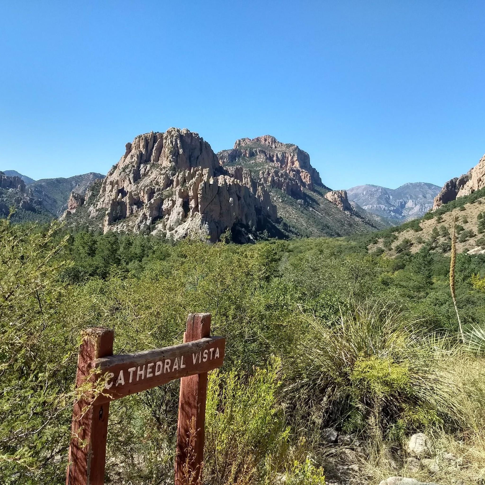
Cycling in Coronado National Forest
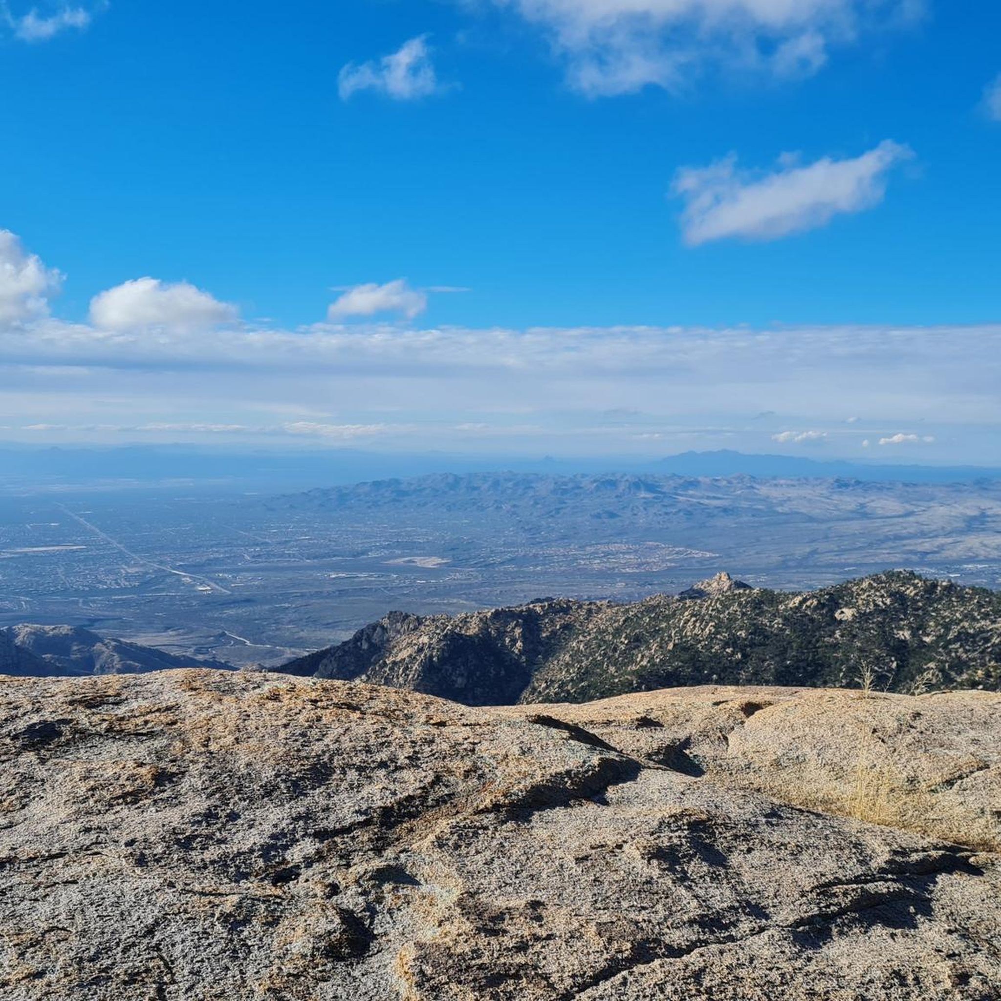
Gravel biking in Coronado National Forest
Other adventures in Coronado National Forest


Tips from the Community

The Pusch Peak Trail begins at the Linda Vista Loop Trailhead and cuts through the loop trail. After 0.7 miles and a 380-foot elevation gain, a sign marks the start of the "real" route to the peak, featuring steep 25% grade climbs, loose rocks, and prickly desert vegetation. Long pants and sturdy boots are recommended for this section. Over 1.25 miles, hikers ascend more than 2,300 feet along a mostly well-defined trail, with some sections requiring navigation over exposed rock. The return follows the same path.
1
0

This lovely trail offers varied terrain and views of oaks and the Tucson Basin as it drops in to Sabino Canyon. There are some rocky areas in this trail that require good footing and some very light scrambling. The trailhead for Sunset Trail sits right off the Santa Catalina Highway, across from the Butterfly Trailhead. The parking is free here and the first mile or so of trail runs through a road with some cabins, but there is signage indicating where the trail is, so it's easy to stay on course. Eventually the trail hits a creek crossing at the bottom of the canyon and merges with Marshall Gulch Trailhead, where you can continue for a longer hike, or turn around.
0
0

Instead of following the big trail, just take bear canyon trail and start to enjoy the wilderness from the start. This crossing must be avoided when the water level is high.
0
0
Very steep trail offering great views on the canyon and the mountains range, from one side, and on the Tucson plateau on the other side. Caution : this trail is closed from Jan 1st to April 30th to protect the BigHorn sheep.
1
1

One of the most accessible trails in the Tucson area the Pima Canyon Trail leads you to Mount Kimball. But be aware! The trail might feel easy at the start, the further up you go, the harder it gets. The trail runs along the Pima Creek, which can be dry depending on the season/weather. There's multiple little pools of water along the trail but never drink without treating the water!
2
0
The last section of the Phoneline Trail between shuttle stops 7 and 9. Connecting trails to shuttle stops are Sabino Canyon Historic Trail to shuttle stop 7 and Sabino Canyon Trail to shuttle stop 9.
0
0

Great canyon with big stones. Beware of wild animals and insects. ;-)
0
0
Frequently Asked Questions
What makes the canyons in Coronado National Forest unique?
The canyons in Coronado National Forest are unique due to their location within "sky islands" – isolated mountain ranges surrounded by vastly different lowland desert areas. This creates a diverse ecological experience, supporting a wide array of plant and animal life, from desert flora to high-altitude pine forests, often within a single day's journey.
Which canyons offer the best views and challenging hikes?
For challenging hikes with panoramic views, consider Pusch Peak Trail. Hikers can expect steep climbs and varied terrain, offering views of the canyon and the Tucson plateau. Another option is Sunset Trail #90, which provides varied terrain and views of the Tucson Basin as it drops into Sabino Canyon.
Are there any canyons known for exceptional wildlife viewing, especially birds?
Yes, Madera Canyon in the Santa Rita Mountains is a world-renowned birding destination, boasting over 230 bird species, including 15 types of hummingbirds. You might also spot white-tailed deer, bobcats, and black bears. Sabino Canyon also offers good birdwatching opportunities, with species like hooded orioles and hummingbirds, alongside diverse desert and riparian wildlife.
What are some family-friendly options for exploring the canyons?
Sabino Canyon is an excellent choice for families, offering easy access to stunning desert and riparian landscapes. Visitors can explore via a tram ride or on foot, with numerous trails catering to different preferences. The tram provides an accessible way for all ages to experience the canyon's beauty.
What is the best time of year to visit the canyons in Coronado National Forest?
The canyons offer a cool escape from the desert heat in warmer months, making spring and fall ideal for experiencing changing seasons. However, the "sky island" geography means diverse climates, so you can find suitable conditions for hiking and exploration throughout much of the year, depending on the specific canyon and elevation.
Are there any canyons with water features or pools?
Yes, Romero Canyon is known for its popular destination, Romero Pools. Additionally, the Pima Canyon Trail runs along Pima Creek, which can have multiple small pools of water, though it may be dry depending on the season.
What kind of outdoor activities can I do near the canyons in Coronado National Forest?
Beyond hiking, the Coronado National Forest offers a wide range of outdoor activities. You can find excellent opportunities for gravel biking, road cycling, and mountain biking. The forest features over 1,100 miles of trails for various activities.
Are there any specific regulations or closures I should be aware of when visiting the canyons?
Yes, some trails have seasonal closures. For example, the Pusch Peak Trail is closed from January 1st to April 30th to protect Bighorn sheep. Always check for current regulations and conditions before your visit. You can find more general information about the forest on Wikipedia or VisitToTravel.
Which canyons are good for experiencing a sense of wilderness?
The Bear canyon trail crossing Sorono river offers a wilderness experience, allowing exploration away from larger paths. This crossing provides access to the Bear Canyon Trail, but should be avoided when water levels are high.
What are some lesser-known canyons worth exploring in the region?
Beyond the more popular spots, canyons like Ramsey Canyon and Carr Canyon in the Huachuca Mountains are well-known for their natural beauty and ecological importance. Other areas like Finger Rock Canyon and Chiricahua Canyon also offer scenic value and recreational potential through their hiking trails.
What kind of terrain can I expect on canyon trails in Coronado National Forest?
The terrain varies significantly due to the "sky island" geography. You can encounter everything from rocky desert paths with loose rocks and prickly vegetation, as seen on Pusch Peak Trail, to varied terrain with oaks and some light scrambling in areas like Sunset Trail #90. Riparian areas will feature different plant life and potentially creek crossings.
Most popular routes in Coronado National Forest
Most popular attractions in Coronado National Forest

Get inspired with the komoot mobile app


