Top 4 Gorges around Sierra De Segura
Gorges are incredibly beautiful places, and you’ve got 4
to choose from around Sierra De Segura. Just browse our list of the best gorges below and see photos, tips and extra info to help you visit one of these beautiful places on your next adventure around Sierra De Segura.
Last updated: June 26, 2026
Borosa River Water Canal Tunnel
Highlight • Structure
Translated by Google •
Tip by

Collado de Góntar
Highlight • Natural Monument
Translated by Google •
Tip by

Sign up now to discover places like this
Get recommendations on the best single tracks, peaks, & plenty of other exciting outdoor places.
Sign up for free
Tranco del Perro
Highlight • Trail
The path is impeccable, it passes a gate at the entrance to Tranco del Perro, where it has a stark section, and climbs to the lunar terrain of Puntal del Águila and its procession of limestone “banderillas” that form the pedestal of the summit of Banderillas. The path leaves Tranco del Perro and a crossroads appears on a hill marked with stone markers. The summit route turns left, there is still a good squeeze left. The path on the right is the way down.
Translated by Google •
Tip by

Trail through the mountains
Highlight • Gorge
Translated by Google •
Tip by

Hike-a-bike
Highlight (Segment) • Trail
Tip by

Start today with a free account
Your next adventure awaits.
Login or Signup
Popular around Sierra De Segura

Bikepacking the mountains and deserts of Andalucía
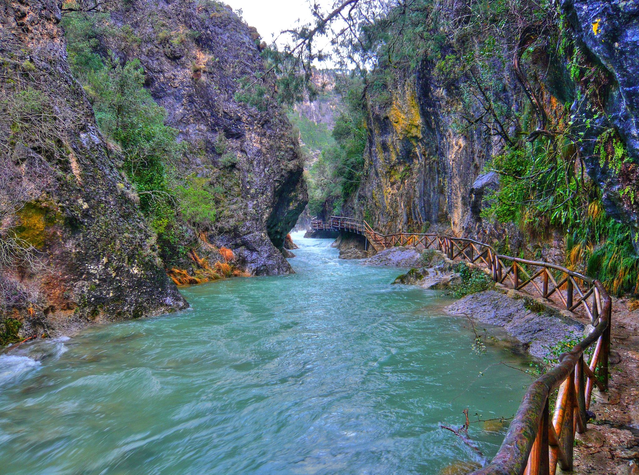
Through the Borosa Gorge to the highest peak of the Sierra de Segura
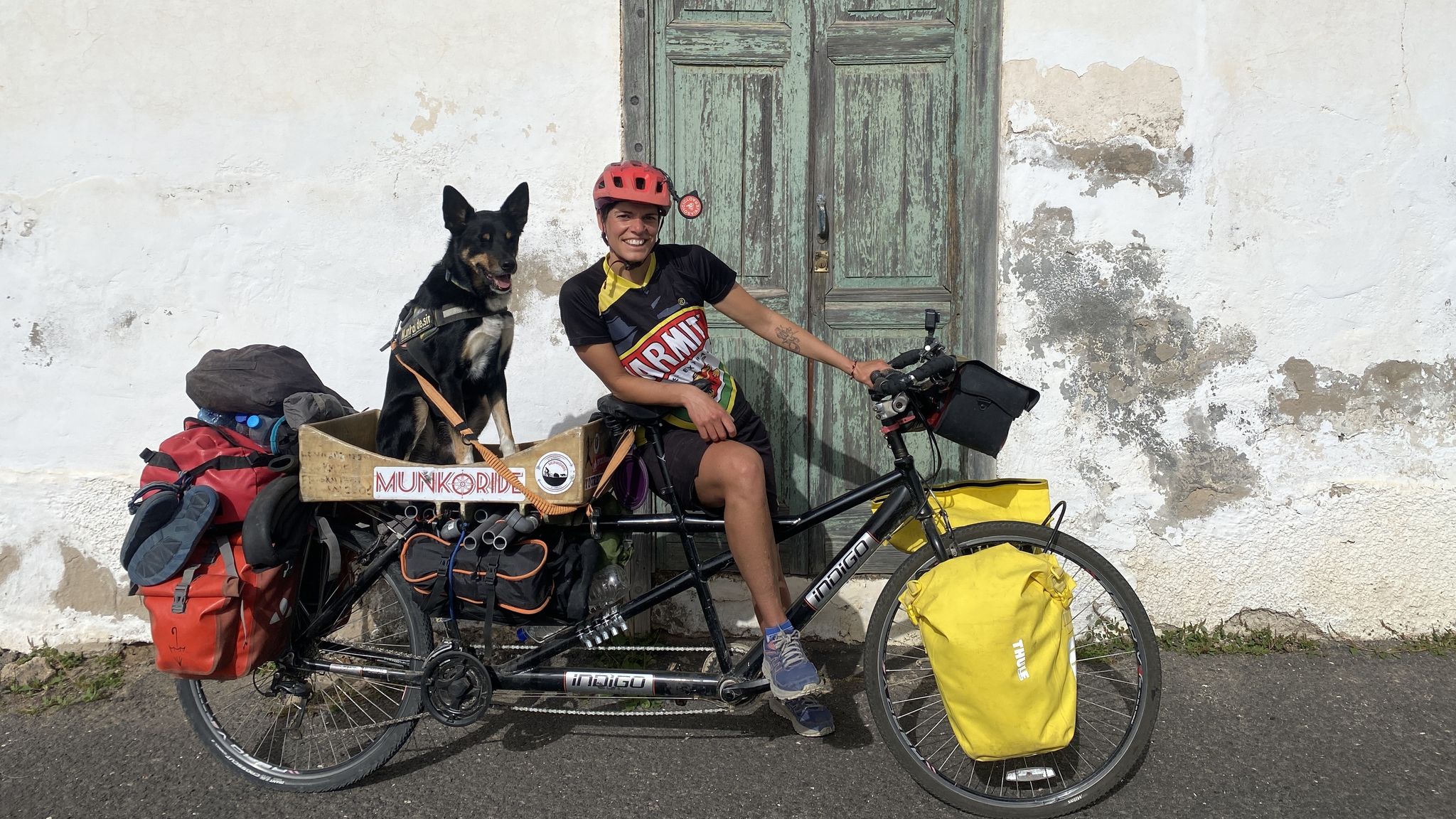
A winter getaway along the greenways of Andalusia in Spain
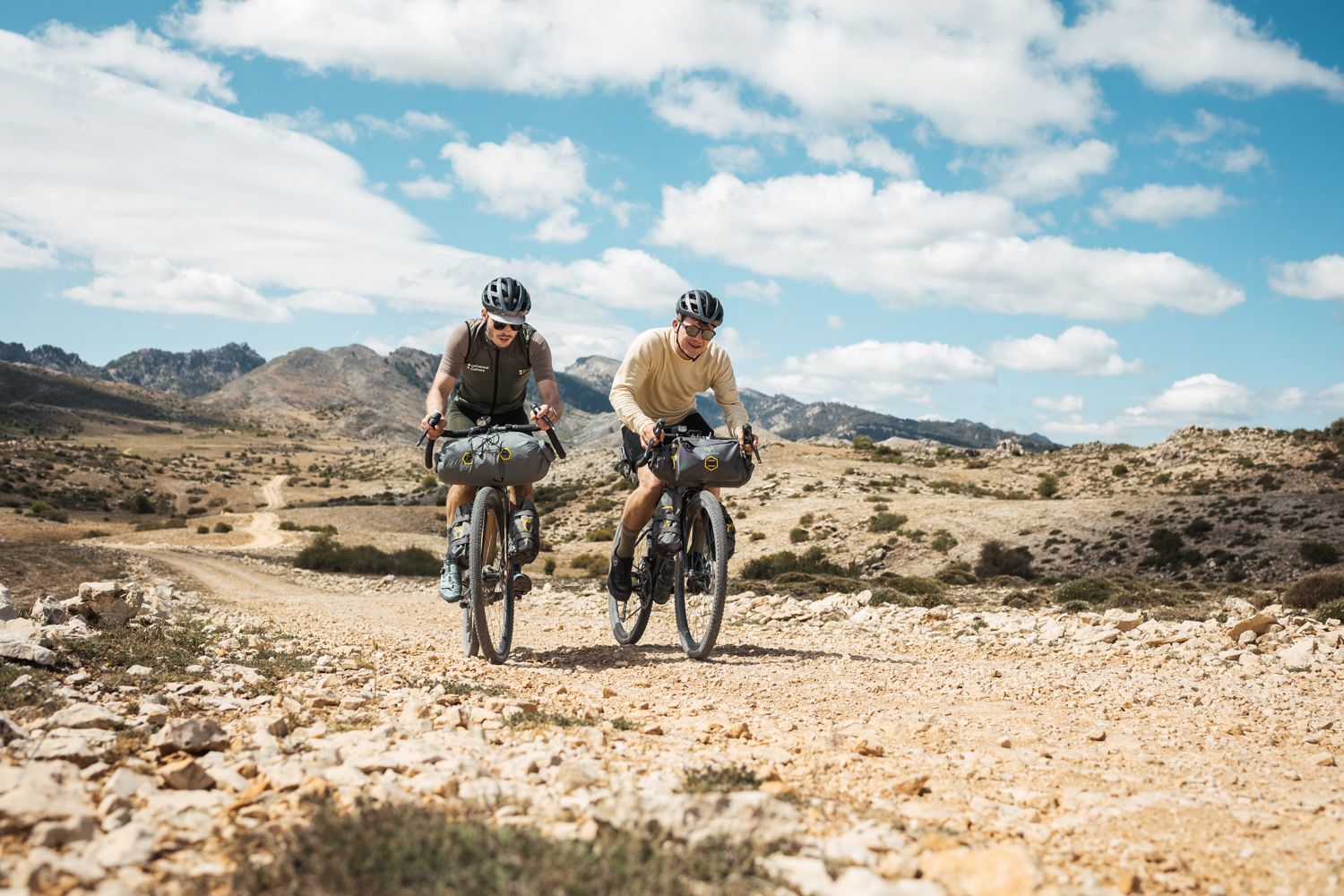
Bikepacking in Andalusia – Europe's gravel paradise
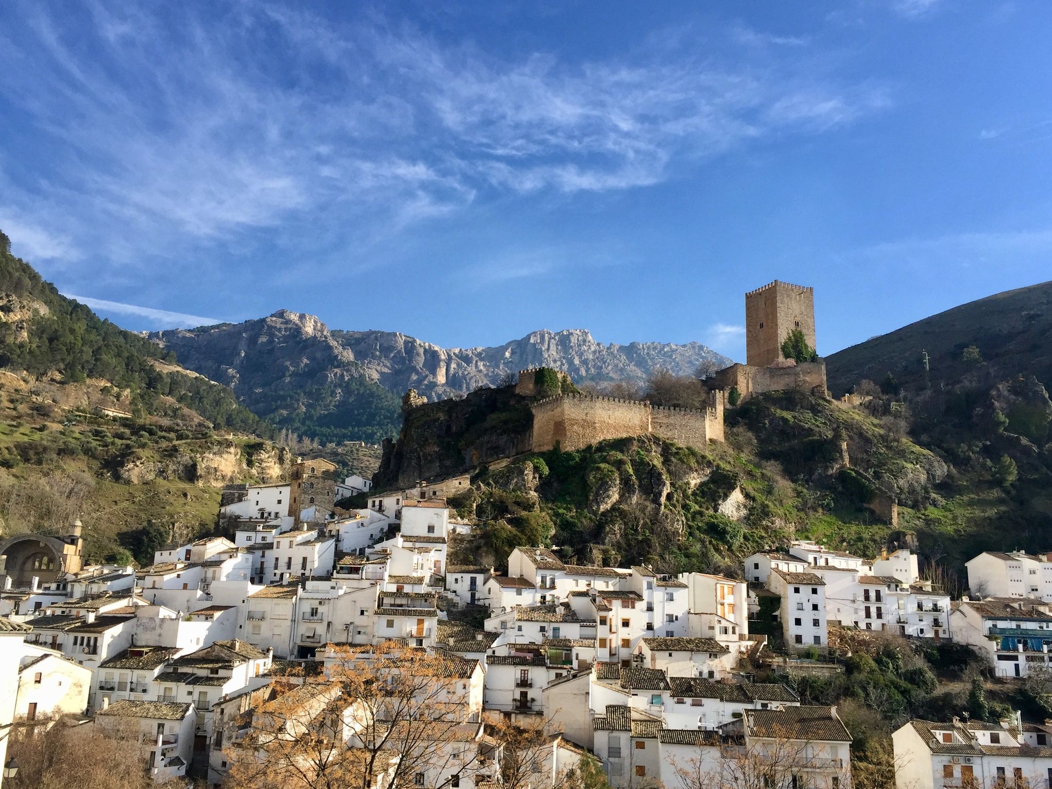
European Divide Trail across the Iberian Peninsula – central
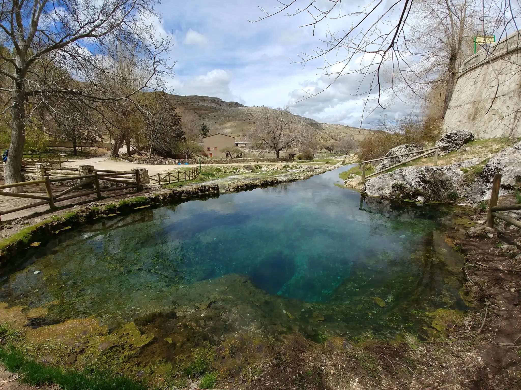
Transhumance in the Sierra de Segura – hiking the GR 144

Let’s head south – cycle in Andalusia with me and my dog

Wild and free Andalusia – Transandalus through the interior
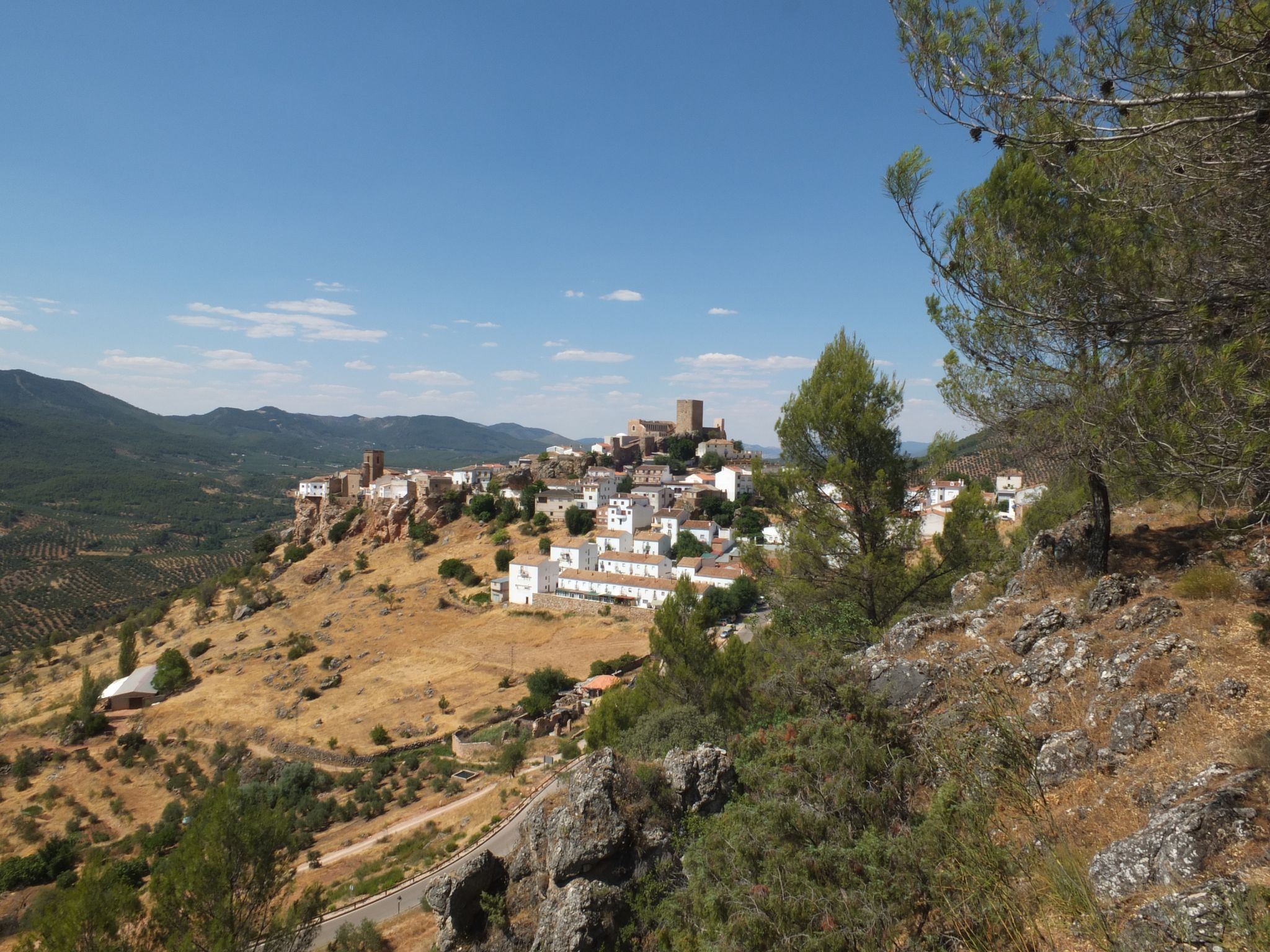
Mountains and olive groves in the Sierra de Segura – GR 146

Explore the Betic Mountains on two wheels – Altravesur
Other adventures around Sierra De Segura


Tips from the Community

It is convenient to carry a headlamp so you have your hands. In some short stretches there is not enough natural light.
1
1

This tunnel was made to bring water from the source of the Borosa River and the Aguas Negras lagoon to the hydroelectric plant. Inside there are quite dark sections, so it is good to bring a flashlight.
2
0

Spectacular rock formation that witnesses everything that happens around it due to its strategic position. Everyone who gets there is privileged! 😊
3
0
This is the valley of the Zumeta River after passing through Santiago de la Espada towards the province of Albacete.
1
0
Rock formation of spectacular proportions that over time has been fragmented into two huge rock portions.
7
0

There are some "windows" in the rock, but it is still very dark in places. A flashlight is helpful.
2
0

The limestone fortress of the mountain seems inaccessible, it is a labyrinth of towers, spiers and canals, which are called trancos in the mountains. The path continues east along the main path. In this section you can clearly see the work commissioned by the forestry engineer Enrique Mackay, at the beginning of the 20th century, to connect the forest houses of the mountain range. The path is impeccable, it passes a gate at the entrance to Tranco del Perro, where it has a stark section, and climbs to the lunar terrain of Puntal del Águila and its procession of limestone “banderillas” that form the pedestal of the summit of Banderillas. The path leaves Tranco del Perro and a crossroads appears on a hill marked with stone markers. The summit route turns left, there is still a good squeeze left. The path on the right is the way down.
0
0

The Góntar pass is the lower part of the Góntar hill (1691 m). It is located at the northern end of Calar del Cobo, where there is a huge vertically arranged opening or slit that characterizes this great rock formation.
12
0
Most popular routes around Sierra De Segura
Most popular attractions around Sierra De Segura

Get inspired with the komoot mobile app


Didn’t find what you were looking for?
Want to see even more gorges? See the best ones around Sierra De Segura region by region:
Explore more
Already discovered everything in this region? See additional gorges around Sierra De Segura for your next adventure:
