Top 4 Gorges around Campiña
Canyons around Campiña are characterized by river-carved gorges and valleys, primarily found in areas like the Campiña de Guadalajara. This region features distinct geological formations where rivers have sculpted deep channels through the landscape. These natural features offer diverse terrain for exploration, ranging from stream valleys to areas with significant rock formations. The Campiña region provides opportunities to observe unique ecosystems adapted to these environments.
Best canyons around Campiña
- The most popular canyons is Los Santos de la Humosa Spring…
Last updated: May 14, 2026
Los Santos de la Humosa Spring
Highlight • Rest Area
Translated by Google •
Tip by

Valhondo Valley
Highlight • Gorge
Translated by Google •
Tip by

Sign up now to discover places like this
Get recommendations on the best single tracks, peaks, & plenty of other exciting outdoor places.
Sign up for free
Valley of the Anchuelo Stream
Highlight • Gorge
Translated by Google •
Tip by
Arroyo de la Dehesilla
Highlight • River
Translated by Google •
Tip by
Geological Landscape of the Valdemembrillo Stream
Highlight • Natural Monument
Translated by Google •
Tip by
Start today with a free account
Your next adventure awaits.
Login or Signup
Popular around Campiña
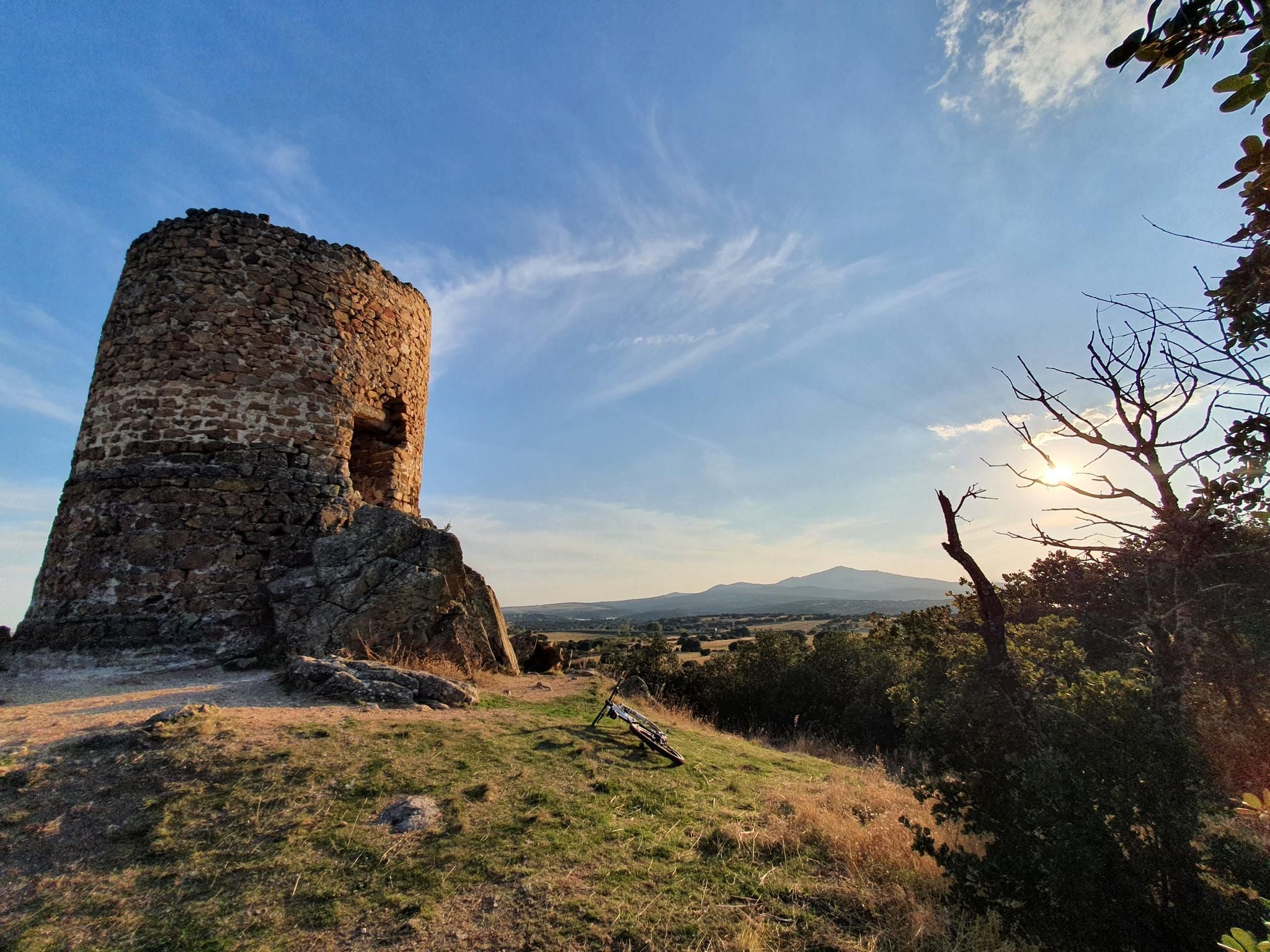
Along the paths of Marca Media — Route of the watchtowers of Madrid
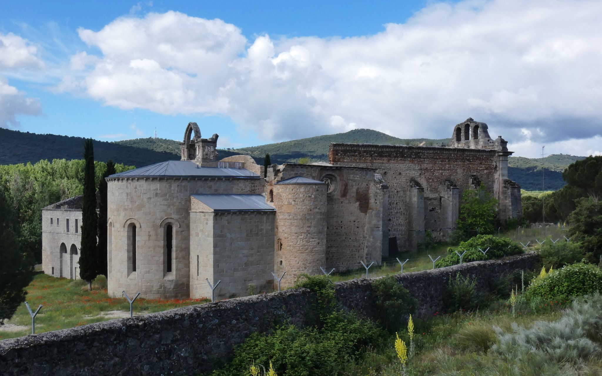
Madrid’s mediaeval castles and hidden gems by gravel bike
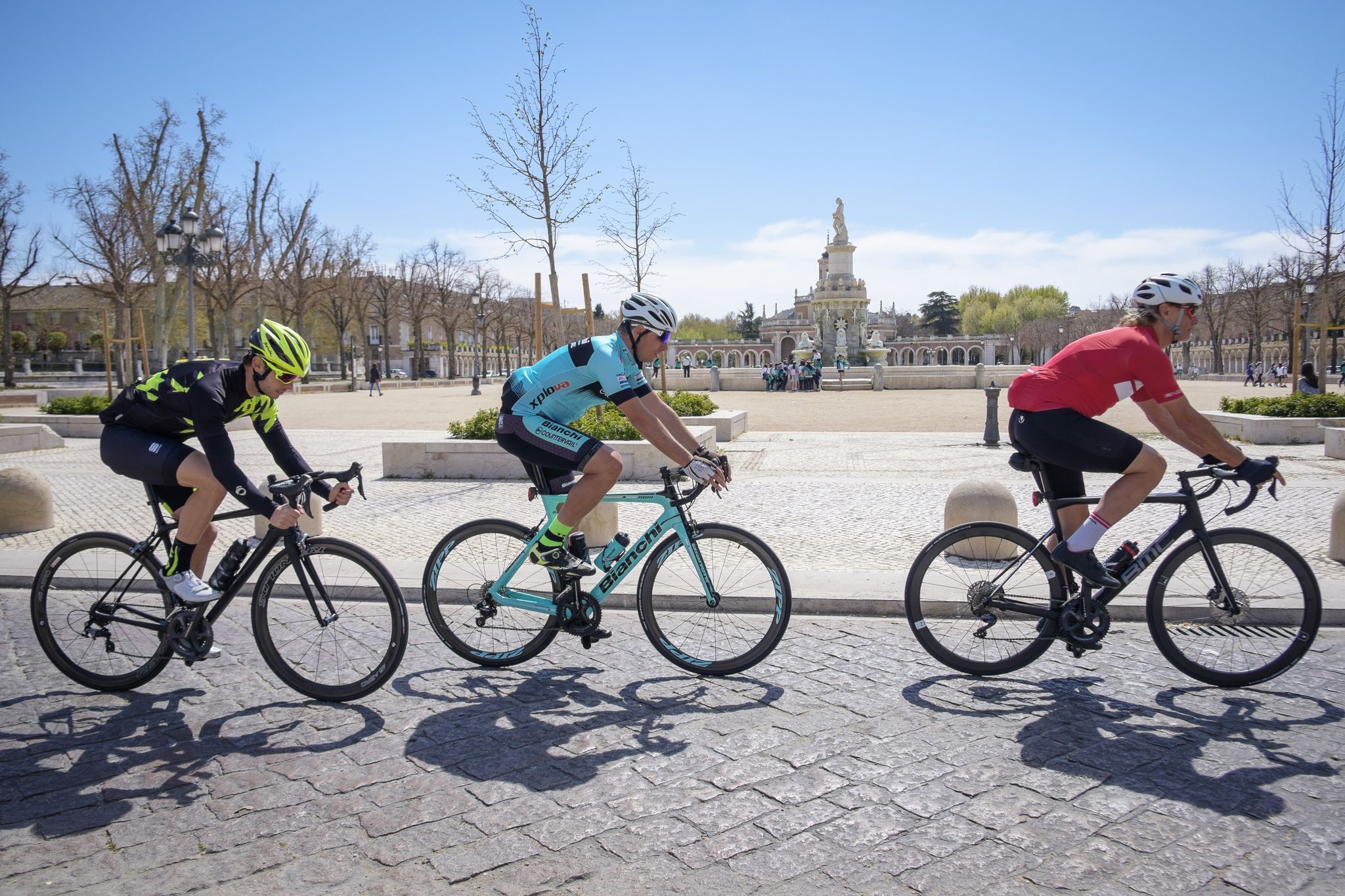
Ports, countryside and rivers – Tour of Madrid by road bike
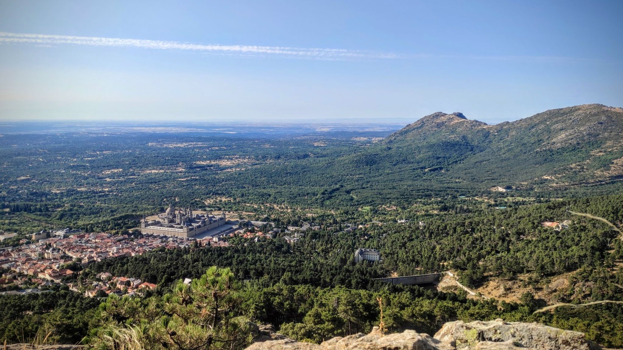
Sierras, countryside, reservoirs and history – Tour of Madrid gravel
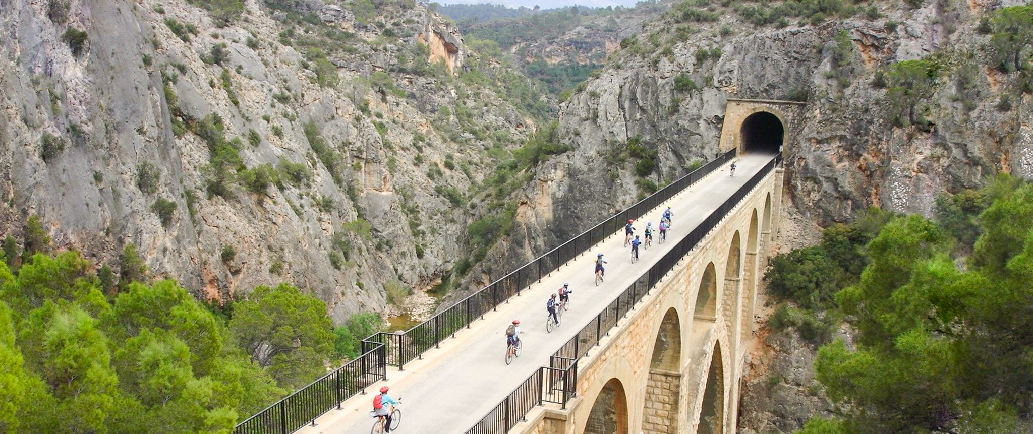
Vías Verdes – traffic-free cycling along railway history in Spain
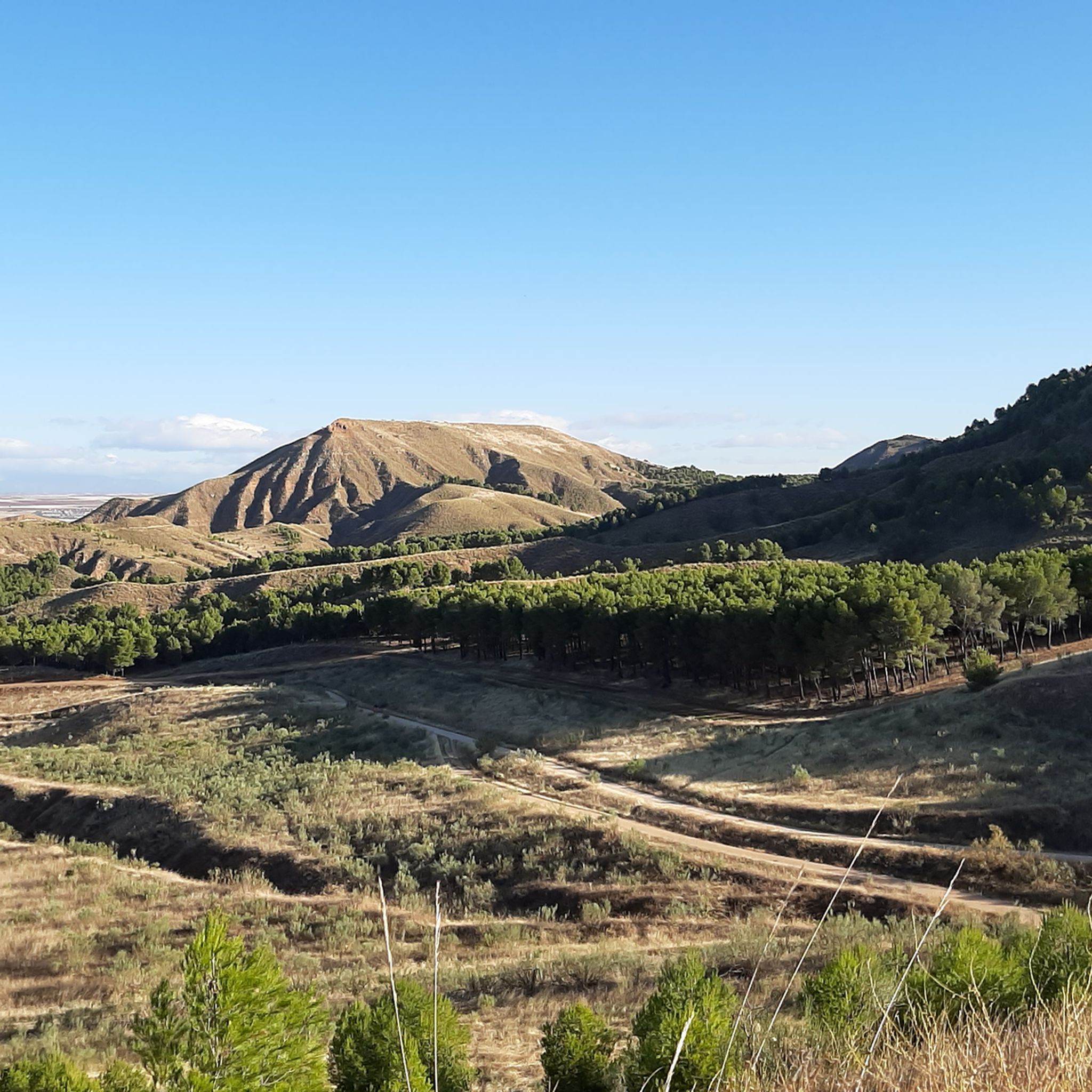
Hiking around Campiña
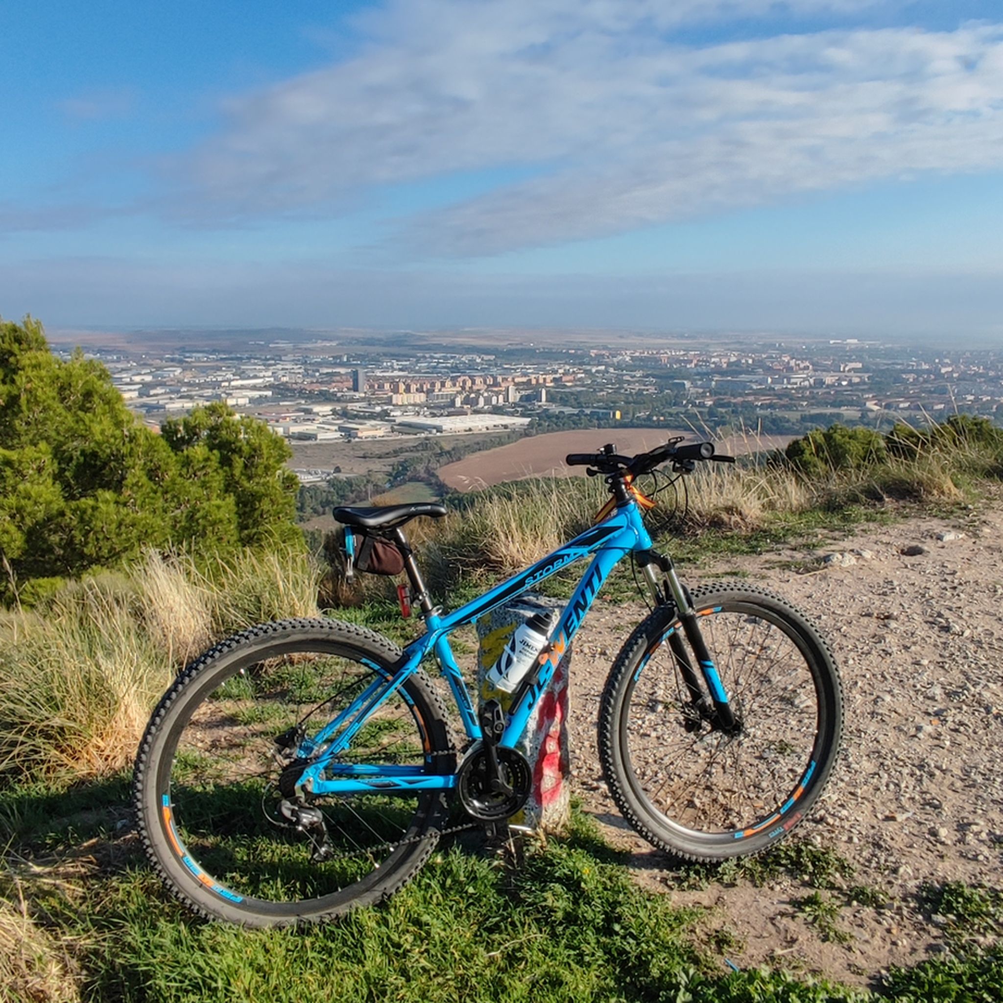
MTB Trails around Campiña
Road Cycling Routes around Campiña
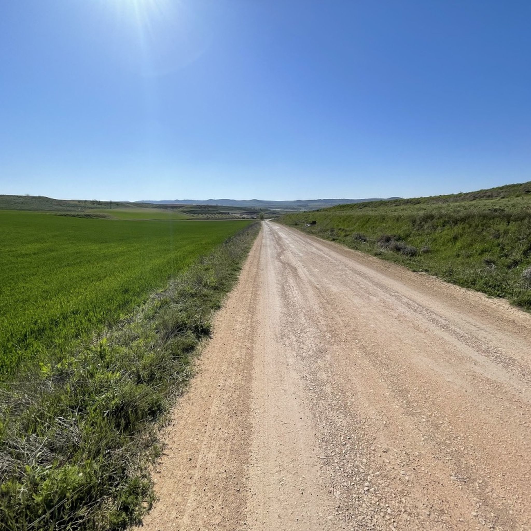
Cycling around Campiña
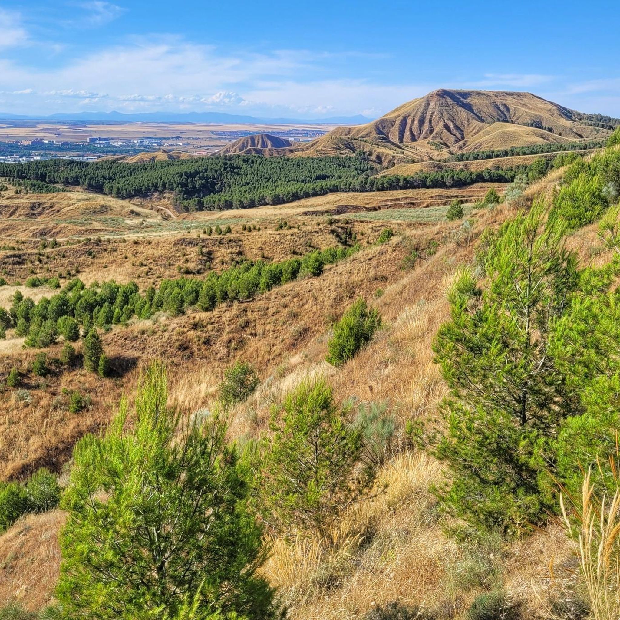
Running Trails around Campiña
Other adventures around Campiña


Tips from the Community

The ravine of the Valhondo stream was the usual communication channel between Pezuela de las Torres and the towns of Nuevo Baztán and Olmeda de las Fuentes, a fertile plain rich in crops and forest resources. The route reaches the area of Fuente de los Guindos, a pleasant valley of old orchards between wild hills of oaks and gall oaks, below the forest is an authentic Mediterranean forest and the stream bed moved the machinery of old flour mills and fulling mills.
0
0
The little valley of the Dehesilla stream transmits distance and solitude, it is a valuable portion of wild mountain hidden and concealed between the slopes of the moor and the cliffs that form the natural cirque of the ravine, the most striking being the Risco de la Dehesilla, in the steepest area of the limestone walls.
0
0
The valley of the Anchuelo stream is a natural communication channel between the Henares river valley and La Alcarria in Madrid, a fertile and resource-rich plain that has been guarded for centuries by small fortresses, since Islamic times, when the fortified town of Alcalá la Vieja was a strategic step on the route between Toledo and Zaragoza, on the middle border of al-Andalus.
0
0
The small gravel and sandstone slopes in the upper section of the Valdemembrillo stream are very eroded and reveal the geological soil of the territory that originated 25 million years ago, when the current reliefs were created by a particular system of alluvial fans.
0
0

It is untreated water but it is perfectly safe to drink.
0
0

Next to the kiosk there is a 3-mouth basin with fresh water and shade, ideal for provisioning before heading down.
2
0
If you have made the climb to this point, take the opportunity to refuel and eat something before continuing to the viewpoint because you have a couple of hard but practicable climbs left.
0
0
Frequently Asked Questions
What are some notable canyons to explore in the Campiña region?
In the Campiña region, particularly the Campiña de Guadalajara in Spain, you can explore several distinct gorges. Highlights include the Valhondo Valley, a gorge formed by the Valhondo stream with old orchards and oak hills, and the Valley of the Anchuelo Stream, a historically significant gorge that served as a natural communication channel. Another interesting area is the Arroyo de la Dehesilla, known for its wild mountain scenery and limestone cliffs.
Are there family-friendly options for exploring canyons in Campiña?
Yes, some areas are suitable for families. For instance, Los Santos de la Humosa Spring is categorized as family-friendly and offers facilities with fresh water and shade, making it a good spot for a break before or after exploring nearby canyon areas. The general nature of many stream valleys in Campiña can also offer accessible walks, though specific trail difficulty should always be checked.
What kind of natural features can I expect to see in the Campiña canyons?
The canyons in Campiña showcase diverse natural landscapes. You'll encounter river-carved gorges, limestone rock formations, and stream valleys. Areas like the Valhondo Valley feature lush riverine vegetation, old orchards, and wild hills of oaks and gall oaks. The Geological Landscape of the Valdemembrillo Stream reveals eroded gravel and sandstone slopes, offering insights into the region's geological history.
Are there historical or cultural sites near the canyons in Campiña?
Yes, the region has historical significance. The Valley of the Anchuelo Stream, for example, has been guarded by fortresses since Islamic times, serving as a strategic communication channel between the Henares river valley and La Alcarria. Additionally, the Valhondo Valley contains remnants of old flour mills, hinting at past agricultural and industrial activity.
What outdoor activities can I do near the Campiña canyons?
Beyond exploring the canyons themselves, the Campiña region offers a variety of outdoor activities. You can find numerous routes for cycling, running, and mountain biking. For cycling, consider the Tajuña Greenway or loops like the Nuevo Baztán and Tajuña Greenway Loop. Running enthusiasts can explore trails such as the Ecce-Homo Trail. Mountain bikers have options like the Ecce Homo Trail or longer loops around Lagunas y Río Torote. You can find more details on these activities in the Cycling around Campiña, Running Trails around Campiña, and MTB Trails around Campiña guides.
What is the best time to visit the canyons in Campiña?
While specific seasonal recommendations for all Campiña canyons are not detailed, generally, spring and autumn offer the most pleasant weather for outdoor activities like hiking and canyoning in the region. These seasons avoid the intense heat of summer and the colder, potentially wetter conditions of winter. Always check local weather conditions before your visit.
Are there any facilities or amenities available near the canyons?
Some areas offer basic facilities. For example, Los Santos de la Humosa Spring provides fresh water and shade, which is ideal for provisioning before continuing on trails. For more extensive amenities like cafes or restaurants, you would typically need to visit nearby towns or villages.
How difficult are the trails in the Campiña canyons?
Many of the trails associated with the canyons in Campiña are rated as intermediate difficulty. This suggests they may involve varied terrain, some ascents or descents, and potentially longer distances. For instance, highlights like Valhondo Valley and Valley of the Anchuelo Stream are categorized as intermediate. It's advisable to be prepared with appropriate footwear and gear.
What do visitors appreciate most about the Campiña canyons?
Visitors appreciate the unique blend of natural beauty and the opportunity for exploration. The komoot community has contributed over 30 upvotes and 3 photos, highlighting the appeal of these river-carved gorges and diverse landscapes. Tips from users often mention the tranquility, the chance to refuel at natural springs, and the scenic views offered by areas like the Valley of the Anchuelo Stream.
Can I find information about the Forre del Titerno in Italy, which is also in a 'Campiña' region?
While the primary focus of this guide is on the Campiña de Guadalajara in Spain, it's true that the Campania region in Italy also features notable canyons known as the Forre del Titerno. These include the Forre di Lavello, Gole di Caccaviola, and Gole di Conca Torta, renowned for their dramatic limestone formations and opportunities for canyoning and trekking. You can find more general information about the Campania region on Wikipedia and specifically about the Forre del Titerno on Italian Wikipedia.
Are there specific gear recommendations for exploring Campiña canyon trails?
Given that many trails are rated intermediate and involve varied terrain, sturdy hiking boots with good ankle support are highly recommended. Depending on the specific trail and weather, bringing sufficient water, sun protection, and layers of clothing is also advisable. If you plan to explore areas with water crossings or engage in more technical canyoning, specialized gear like harnesses and ropes would be necessary, often requiring expert guides.
Most popular routes around Campiña
Most popular attractions around Campiña

Get inspired with the komoot mobile app


Didn’t find what you were looking for?
Want to see even more gorges? See the best ones around Campiña region by region:
Explore more
Already discovered everything in this region? See additional gorges around Campiña for your next adventure:
