Top 7 Lakes around Waadhoeke
Lakes around Waadhoeke are characterized by a network of canals and smaller recreational ponds, offering various water-based activities. This municipality in Friesland, northern Netherlands, is known for its scenic landscape of dikes and open spaces. While not directly home to the large Frisian Lakes, Waadhoeke provides avenues for water recreation within its distinctive natural features. Visitors can explore local water bodies and enjoy the tranquil environment.
Best lakes around Waadhoeke
- The most popular lakes is De Groene Ster Recreation Area…
Last updated: June 26, 2026
Wadden Sea
Highlight • Natural
Translated by Google •
Tip by

De Groene Ster Recreation Area
Highlight • Natural
Translated by Google •
Tip by

Sign up now to discover places like this
Get recommendations on the best single tracks, peaks, & plenty of other exciting outdoor places.
Sign up for free
Zuidergrie
Highlight • Viewpoint
Translated by Google •
Tip by

Sandy Path Along Vijverberg Pond
Highlight • Trail
Translated by Google •
Tip by

Beach at Lytse Wielen
Highlight • Beach
Translated by Google •
Tip by

Sign up for free to discover even more lakes around Waadhoeke.
Sign up for free
Already have an account?
Start today with a free account
Your next adventure awaits.
Login or Signup
Popular around Waadhoeke
Elfstedenpad – Along polders, terpen and eleven Frisian cities
The Eleven Cities Tour – Exploring Friesland by Bike
Ten rejuvenating bike rides through Friesland
Along the Wadden Sea — part 3: Dutch Coastal Path
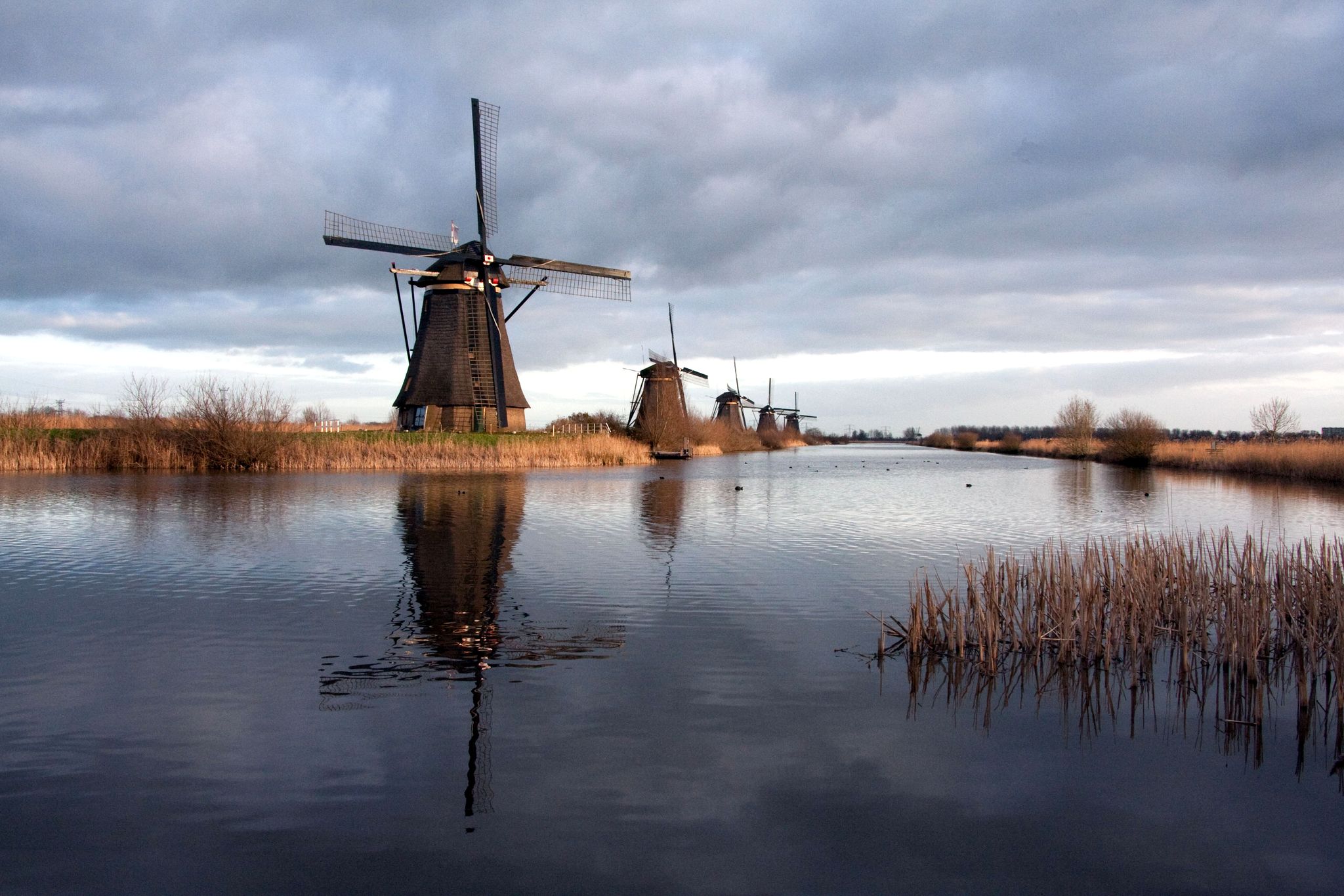
Heritage Tour of the Netherlands - Eleven tours along all UNESCO sites
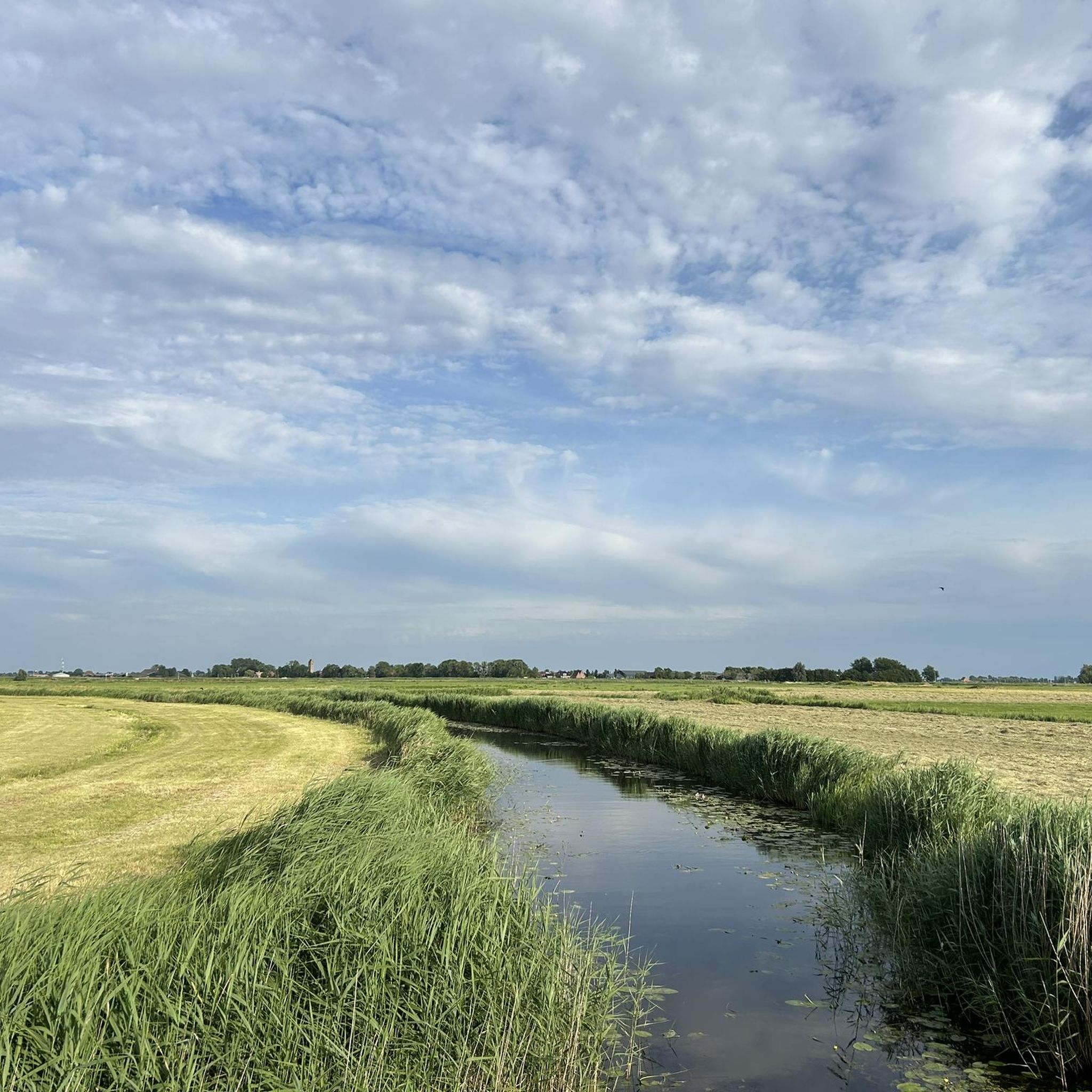
Cycling around Waadhoeke
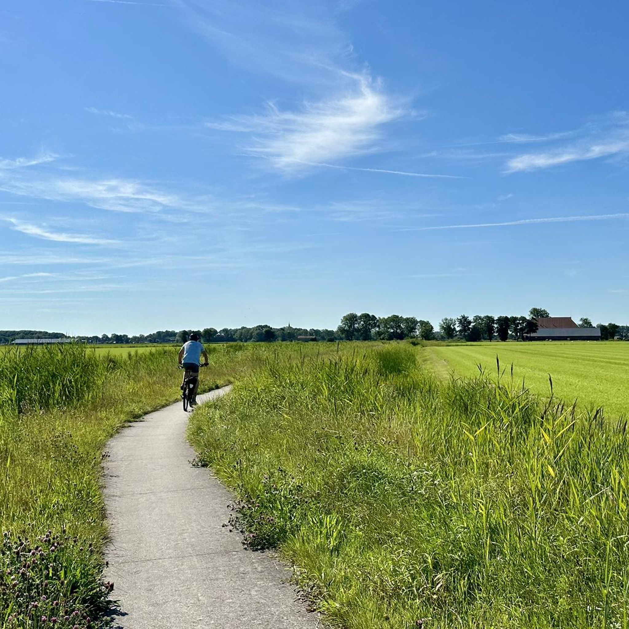
Road Cycling Routes around Waadhoeke
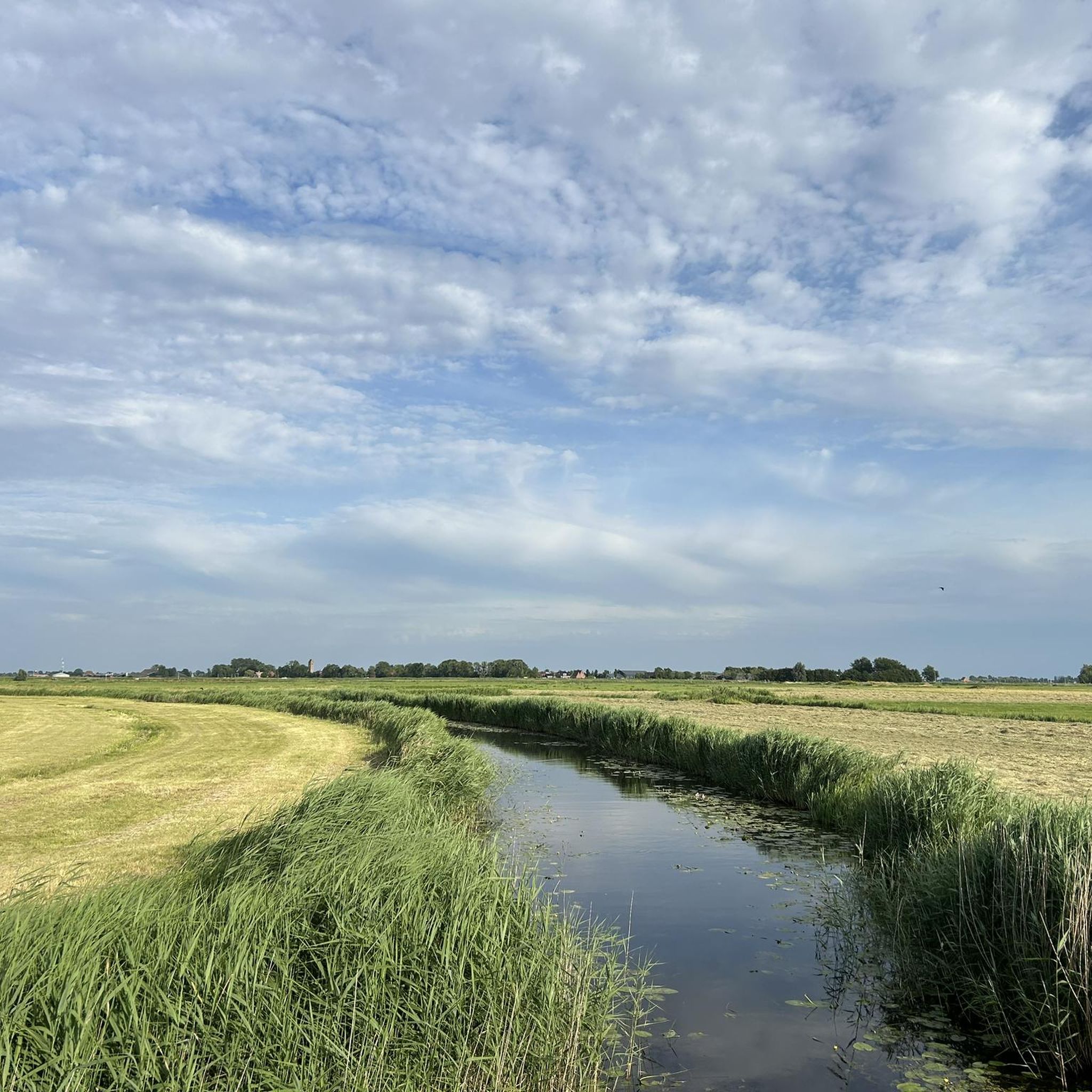
Hiking around Waadhoeke
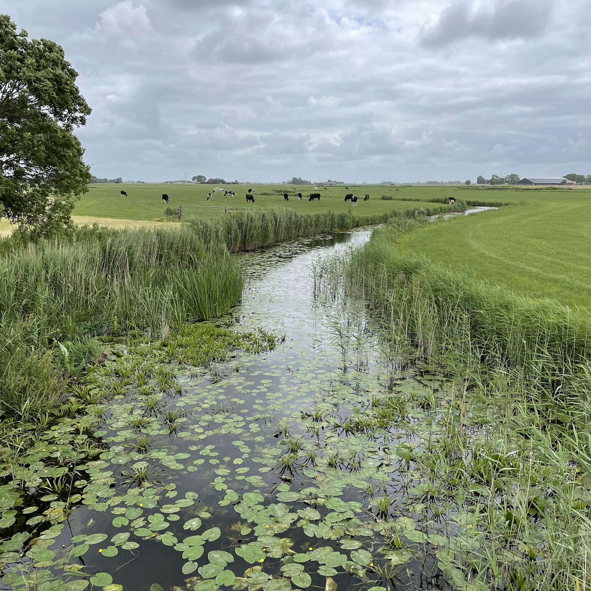
Running Trails around Waadhoeke
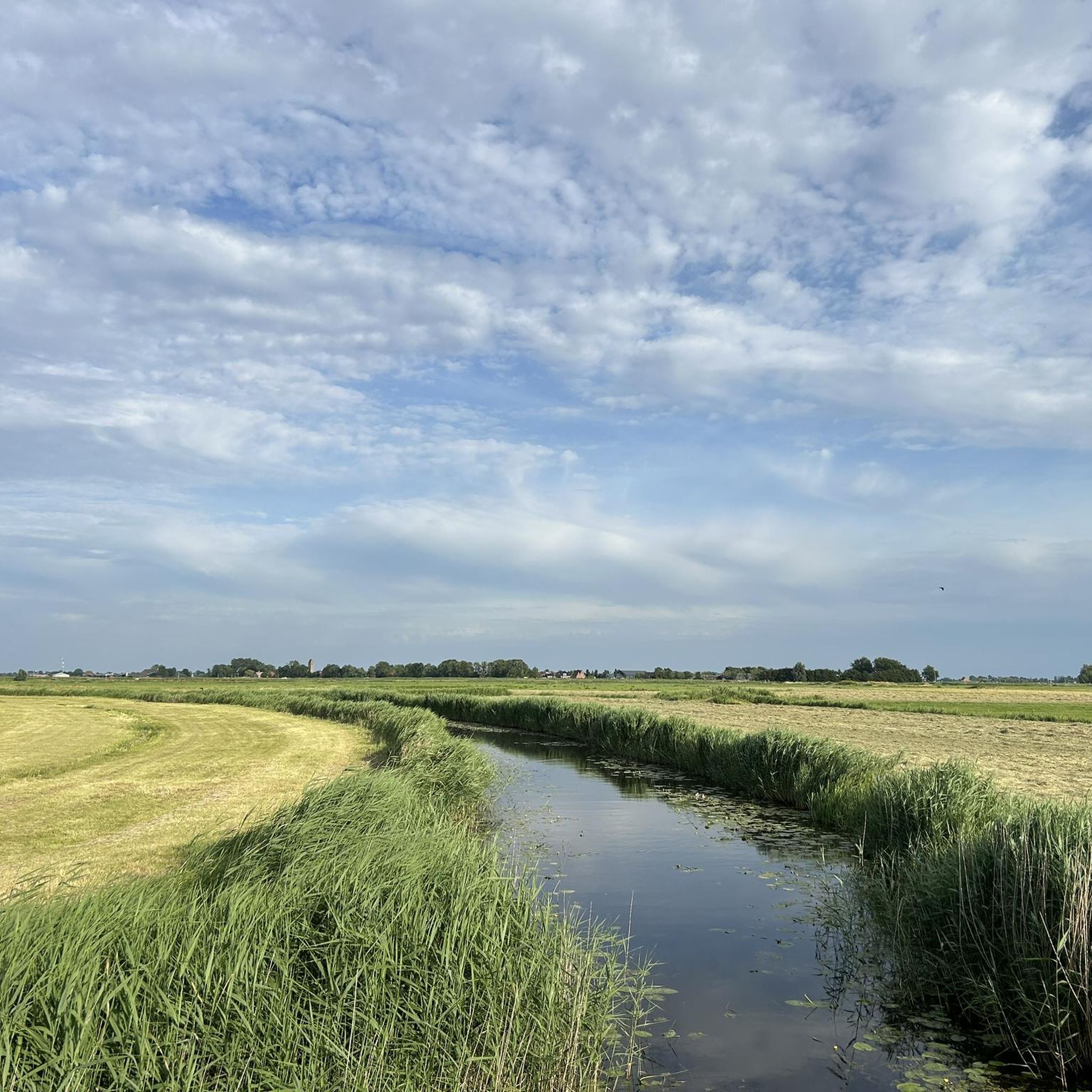
MTB Trails around Waadhoeke
Other adventures around Waadhoeke


Tips from the Community

These inner lakes were formed because Ameland was once divided into two parts. A river (which still exists today) separated the two islands.
0
0

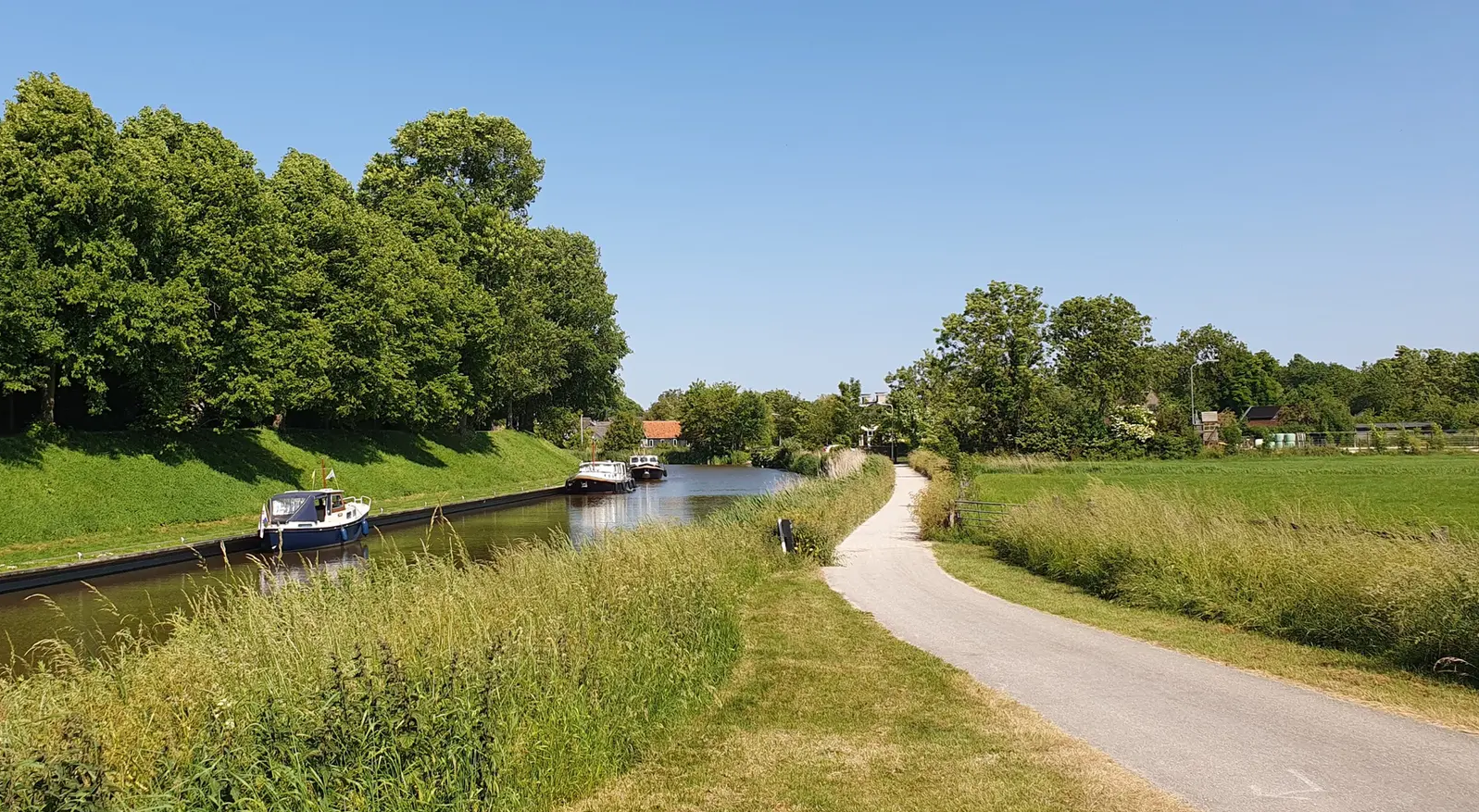
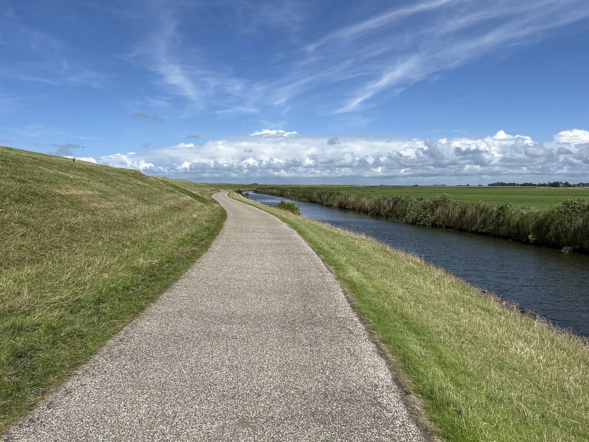
An idyllic path surrounded by greenery and water.
0
0

The Wadden Sea (Frisian: Waadsee, German: Wattenmeer) is a marginal sea between the Wadden Islands and the North Sea on one side and the mainland of the Netherlands, Germany and Denmark on the other. The area stretches between Den Helder in the Netherlands and Esbjerg in Denmark, has a length of 500 km and an average width of 20 km. The area is about 10,000 km², of which about 7,500 km² are tidal areas (mudflats and sandbanks), 1,100 km² are islands and 350 km² are salt marshes and summer polders. The rest consists of shipping canals. Several rivers flow into the Wadden Sea. The estuary expanded into an estuary such as the Dollart, the Lauwerszee, the Middelzee and the Zuiderzee. The Wadden Sea has great natural value and is on the UNESCO World Heritage List. The World Heritage covers more than 12,000 km², including the transition area to the North Sea (approx. 4,000 km²). The Wadden Islands of the Netherlands and Schleswig-Holstein and the estuaries of the Ems, Outer Jade, Weser and Elbe are largely excluded. However, these areas mostly fall under the Natura 2000 regime. The protection measures are coordinated by the International Wadden Sea Secretariat in Wilhelmshaven, in which the Netherlands, Germany and Denmark work together. The Wadden Sea is not only a nature reserve, but also important for fishing, recreation, mineral extraction and other economic activities. The Dutch Wadden Sea area was declared state property in 1981 and assigned to the provinces of North Holland, Friesland and Groningen. In 1986 the Wadden Sea was also divided into municipalities. Fantastic nature and great cycling paths.
0
0

Opposite is a residential complex with interesting architecture. In principle, you can walk around the inner courtyard, or at least look inside.
2
1

If you don't move by bike 🚲 but by car 🚗 on this island 🏝️, it's your own fault 😜🤷♂️
0
0

It offers a beautiful, varied 360-degree all-round view.
2
0

The area was developed into a large recreational area from the 1960s, initially in the municipality of Tietjerksteradeel and added to Leeuwarden in 1984. In the area there are lawns, beaches, ponds, forest and hiking trails. The Green Star is also known to many under the name "De Kleine Wielen", named after the original lake in the local recreation area. On the other side of the road Leeuwarden - Groningen is the Grote Wielen.
3
0

if you want to go through the Vijverberg park you have to buy a ticket at the entrance or have a friends pass. The last few hundred meters are on a narrow path through the water. Lots of duck droppings and you have to cross a small water passage at a mill, goes easily through the fence
0
0
Frequently Asked Questions
What kind of water bodies can I expect to find in Waadhoeke?
Waadhoeke is characterized by a network of canals and smaller recreational ponds, rather than large natural lakes. These water bodies offer various opportunities for water-based activities within the municipality's distinctive landscape.
Are there family-friendly recreational areas around Waadhoeke's water bodies?
Yes, areas like De Groene Ster Recreation Area and Beach at Lytse Wielen are known for being family-friendly. De Groene Ster features lawns, beaches, ponds, and forests, while Lytse Wielen offers a beach area with facilities and viewpoints for long walks.
What natural features can I explore near the water in Waadhoeke?
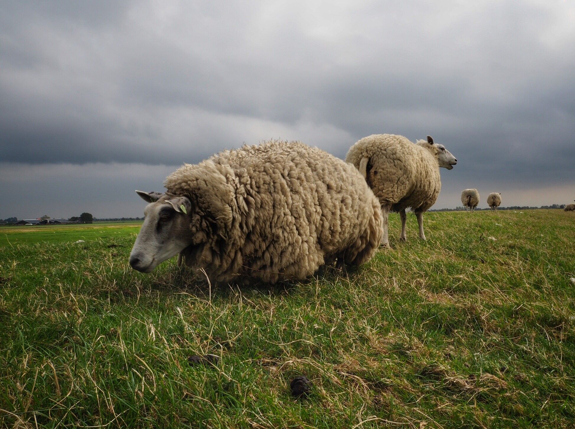
The area around Waadhoeke's water bodies is known for its scenic landscape of dikes and open spaces. You can find extensive meadows where cows graze, such as near Zuidergrie, which offers a varied 360-degree view. There are also forests and idyllic paths surrounded by greenery and water, like the Sandy Path Along Vijverberg Pond.
Can I go cycling near the water bodies in Waadhoeke?
Absolutely. Waadhoeke offers numerous cycling routes that often pass by its canals and smaller water bodies. You can find various options, including moderate routes like 'Bolsward Town Hall – Noorderhaven, Harlingen loop from Franeker' or 'Bildtstars and Eigenheimers: a storytelling route along the Wadden coast'. For more details, check out the Cycling around Waadhoeke guide.
Are there hiking or walking trails around the water in Waadhoeke?
Yes, there are several opportunities for walking and hiking. De Groene Ster Recreation Area has dedicated hiking trails, and you can enjoy long walks along the water at Beach at Lytse Wielen. The Sandy Path Along Vijverberg Pond also offers an idyllic walking experience. For more extensive options, explore the Running Trails around Waadhoeke guide, which includes walking routes.
What is the best time to visit Waadhoeke for outdoor activities around the water?
The best time to visit Waadhoeke for outdoor activities is generally during the warmer months, from late spring to early autumn (May to September), when the weather is most pleasant for cycling, walking, and enjoying the recreational ponds and canals.
Is the Wadden Sea considered one of the lakes around Waadhoeke?
The Wadden Sea is not a lake; it is a marginal sea located between the Wadden Islands and the North Sea, bordering the mainland of the Netherlands, Germany, and Denmark. It is a significant natural feature near Waadhoeke, recognized as a UNESCO World Heritage site, and offers fantastic nature and cycling paths along its coast.
What do visitors enjoy most about the water areas in Waadhoeke?
Visitors appreciate the tranquil environment, the scenic views of dikes and open spaces, and the opportunities for quiet enjoyment on the water. The varied landscapes, from recreational areas with beaches and forests to idyllic paths along ponds, are frequently highlighted.
Are there any mountain biking trails near the water bodies in Waadhoeke?
Yes, you can find mountain biking trails in the broader Waadhoeke area. Routes like 'Eise Eisinga Planetarium – Noorderhaven, Harlingen loop from Franeker' offer moderate challenges. For a comprehensive list of routes, refer to the MTB Trails around Waadhoeke guide.
Where can I find facilities like parking or public transport near these water recreation spots?
Specific facilities vary by location. For example, Beach at Lytse Wielen offers easy parking and is accessible by bus. For other locations, it's advisable to check local information for parking and public transport options, especially in towns like Franeker, the largest population center in Waadhoeke.
Are there any viewpoints to enjoy the water landscape in Waadhoeke?
Yes, Zuidergrie is a notable viewpoint offering a beautiful, varied 360-degree all-round view of the surrounding meadows and natural setting. Beach at Lytse Wielen also provides viewpoints to enjoy the scenery along the water.
Most popular attractions around Waadhoeke

Get inspired with the komoot mobile app


Explore more
Still not found your perfect lake around Waadhoeke? Check out the guides of these regions to see even more beautiful places.
