Top 20 Lakes around West Betuwe
Best lakes around West Betuwe are situated within a municipality in the Netherlands' river landscape. This area features various bodies of water, primarily recreational lakes, that offer opportunities for outdoor activities. The region is characterized by its natural settings and facilities designed for water-based recreation. These lakes provide diverse environments for visitors to explore.
Best lakes around West Betuwe
- The most popular lakes is Drowned Forest, a forest that has been redeveloped as a water storage facility. This area is intended to store water during periods of high precipitation.
- Another must-see spot is Haarsteegse Wiel, a lake that is almost 20 meters deep. Visitors can enjoy swimming and observe waterfowl in this natural setting.
- Visitors also love Tichelgaten, an other natural area created by clay and sand extraction. This unique nature reserve offers discoveries of various birds, insects, and plant life throughout the year.
- West Betuwe is known for recreational lakes, natural lakes, and beach baths. The variety of lakes provides options for swimming, water sports, and nature observation.
- The lakes around West Betuwe are appreciated by the komoot community, with over 270 upvotes and 110 photos shared.
Last updated: May 14, 2026
Drowned Forest
Highlight • Forest
vvvkrommerijnstreek.nl
Translated by Google •
Tip by

Haarsteegse Wiel
Highlight • Lake
The wheel was created in 1610 when the water was pushed up by an ice dam in the Maas and the dike gave way. This formed the southern basin. The northern basin was created during a second flood in 1740.
Studying the sediment in the wheel not only allowed for its age to be determined, but also identified events such as past and historically known floods. In addition, change in human activity could also be observed by elemental and isotope analysis. These included the intensification of livestock farming after 1880, the arrival of tanneries and dairies, the atomic bomb tests and the Chernobyl disaster. Pollen analysis revealed phenomena such as the agricultural crisis of 1875, the development and cessation of hemp cultivation in the 19th century, the planting of pines and poplars, the development and cessation of buckwheat cultivation, and the emergence of silage maize around 1970. Study of the fossil diatoms yielded knowledge about the development of water quality, which, partly due to the use of fertilizers, has become and still is richer in nutrients.
Translated by Google •
Tip by

Sign up now to discover places like this
Get recommendations on the best single tracks, peaks, & plenty of other exciting outdoor places.
Sign up for free
Tichelgaten
Highlight • Natural
The Tichelgaten were created by clay and sand extraction. The Buren map of 1890 shows the first buildings of the N.V. Waalsteenfabriek, located along the Korne, Kornedijk and Hennisdijk, where construction company Van Kessel is now located. The clay was extracted from a stream ridge along the Hennisdijk, whereby the terrain was excavated by hand to 1 meter, causing calcareous sand to come to the surface. Wet grasslands, scrub, alder forest and roughs developed in the excavated areas. The ponds were formed between 1922 and 1964 by sand suction, and the large pond, which was given the name “de Put van Buren”, was dug between 1951 and 1954.
Source and more information: ivn.nl
Translated by Google •
Tip by
De Zandmeren Recreation Area
Highlight • Lake
Translated by Google •
Tip by
Over de Maas Nature Reserve
Highlight • Natural
In the floodplain, sand and gravel was extracted with floating processing installations and removed by ship. In addition, new river-bound nature was developed in a large part of the area and the interventions created more room for the river during high water. The entire floodplain will eventually be opened to the public and will be sustainably managed. Recreation takes place in an extensive form by means of walking (roaming) and cycling.
The project area of Project Over de Maas is located in the municipality of West Maas en Waal and has an area of approximately 277 ha. The plan area includes the northern floodplain of the Maas near the village of Lith, referred to as "Over de Maas". The Moleneindsche Waard near Alphen aan de Maas is part of the plan area.
Source and more info: overdemaas.com
Translated by Google •
Tip by
Sign up for free to discover even more lakes around West Betuwe.
Sign up for free
Already have an account?
Start today with a free account
Your next adventure awaits.
Login or Signup
Popular around West Betuwe
Maarten van Rossumpad – hiking from 's-Hertogenbosch to Steenwijk

The Rhine Cycle Path — From the source to the North Sea
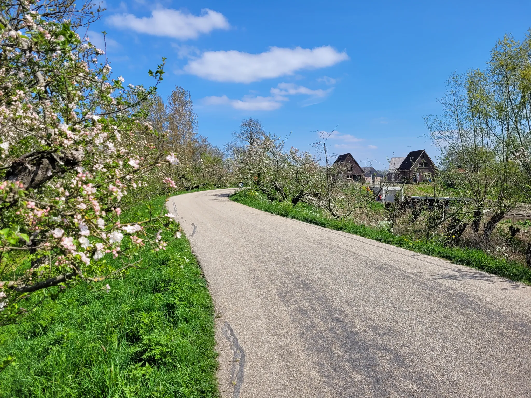
From river to orchard: twelve stages through the Betuwe - The Betuwepad
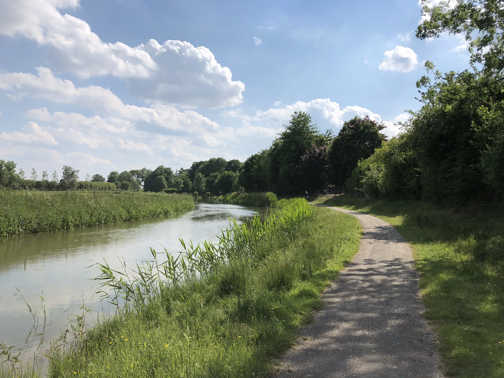
The Rhine Route - From the North Sea to the eastern border in 7 days
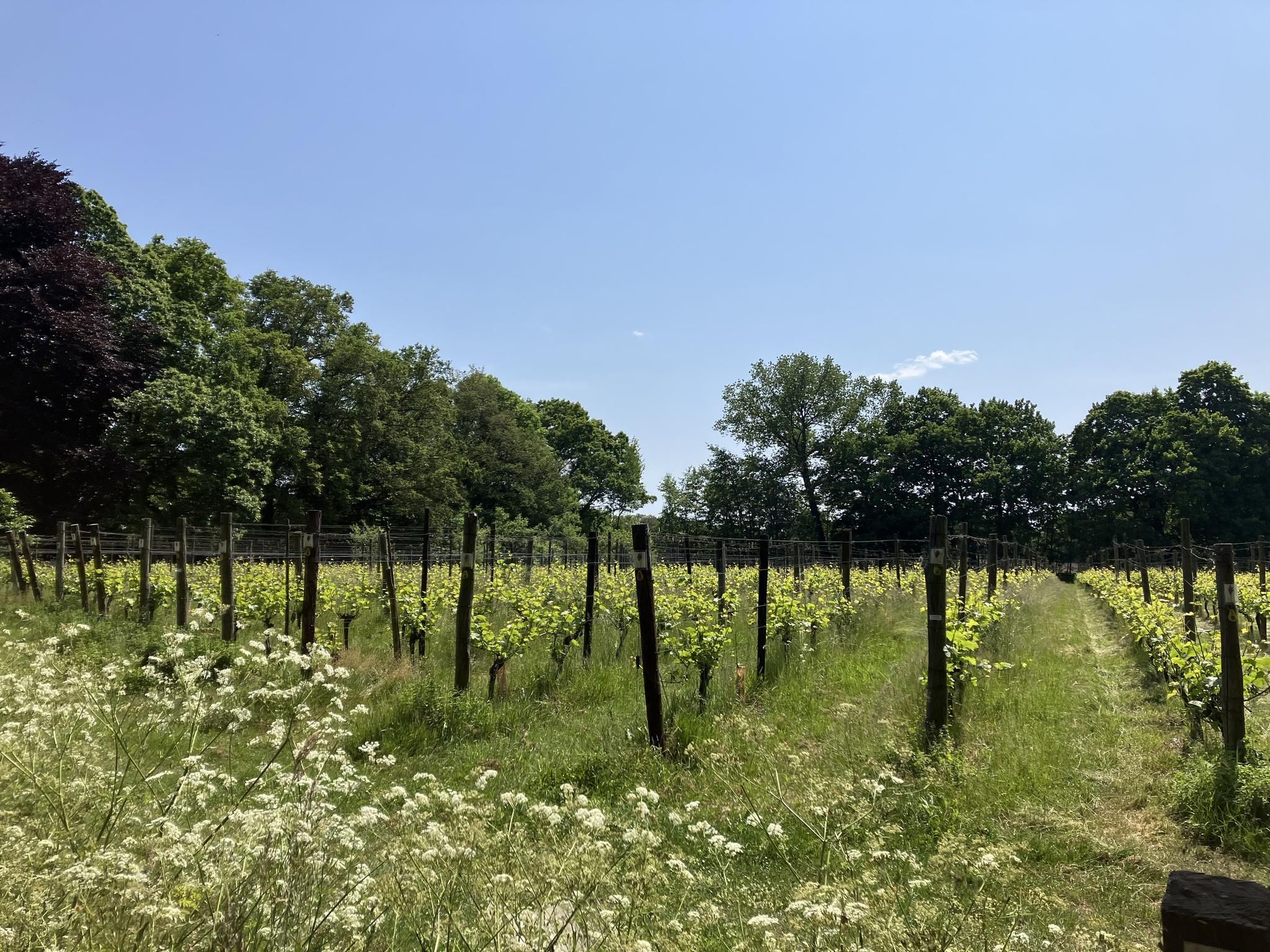
Hiking through the vineyards – 20x tasting in Gelderland
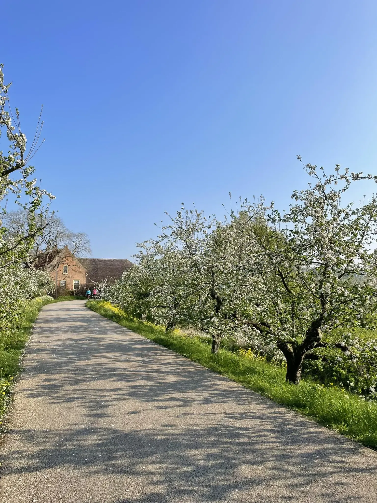
Betuwe in bloom — three fruit hiking routes
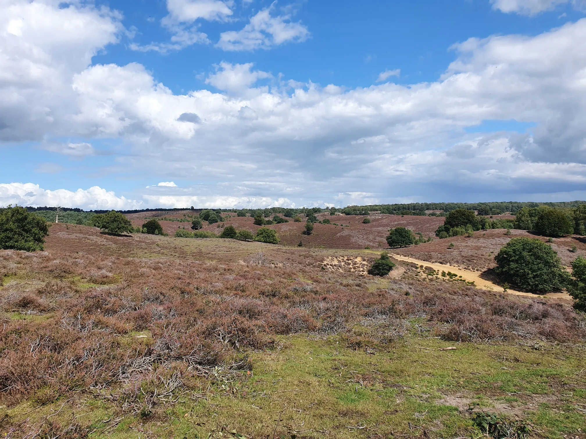
In the middle of nature - 20 accessible routes in Gelderland
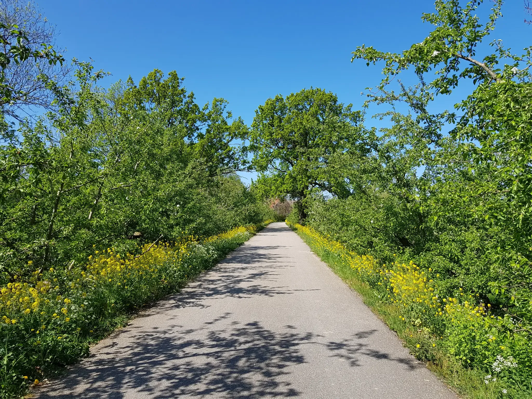
The tastiest fruit routes by bike — four routes through all of the Netherlands
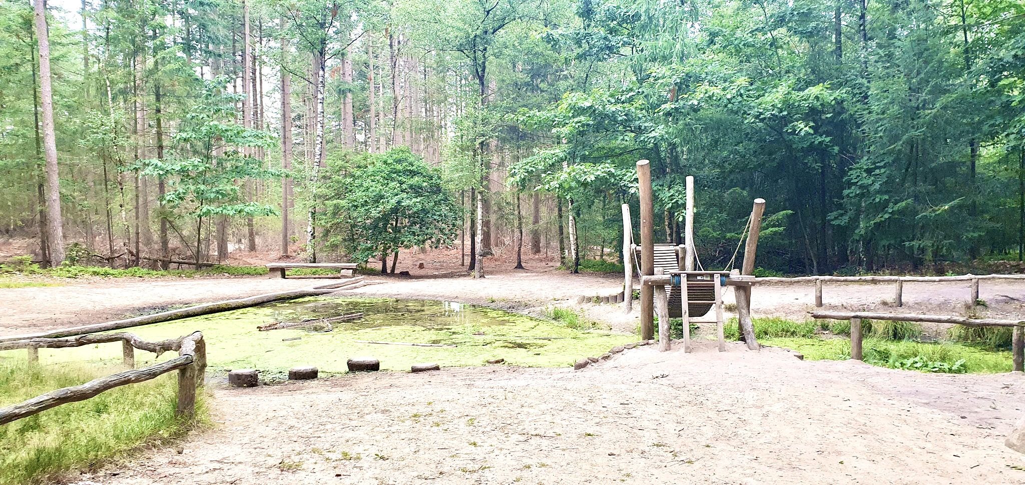
Romping in nature – 20 walks around play forests
Clogs Trails with Children – 10 hiking adventures in Gelderland and Utrecht
Other adventures around West Betuwe


Tips from the Community

Beautiful but also somewhat alienated piece after steering. Bizarre how those tree stumps stick out above the water.
2
0

Follow the Elmpad to the Quay towards Houten het Goy
0
0

It's fun to see how the trees are gradually disappearing. Now there are only a few tribes left. A few years ago there were mostly dead trees.
0
0

Wonderful wheel where you can also enjoy swimming.
3
0

The Tichelgaten, also known as “the Put of Buren,” is a unique nature reserve just outside Buren. The area offers various discoveries all year round, from resident, migratory and water birds to dragonflies, damselflies, butterflies and other insects. In addition, there are mushrooms, mosses, lichens, trees and plants to be found. The Tichelgaten were created by clay and sand extraction. The Buren map of 1890 shows the first buildings of the N.V. Waalsteenfabriek, located along the Korne, Kornedijk and Hennisdijk, where construction company Van Kessel is now located. The clay was extracted from a stream ridge along the Hennisdijk, whereby the terrain was excavated by hand to 1 meter, causing calcareous sand to come to the surface. Wet grasslands, scrub, alder forest and roughs developed in the excavated areas. The ponds were formed between 1922 and 1964 by sand suction, and the large pond, which was given the name “de Put van Buren”, was dug between 1951 and 1954. Source and more information: ivn.nl
4
0

What a beautiful piece of nature all of a sudden. With waterfowl. The Haarsteegse Wiel, also known as Grote Wiel, is one of the largest wheels in the Netherlands.
2
0

Beautiful drowned forest that you can walk through. The nature reserve behind it is also very beautiful.
0
2
As the name may suggest, this special forest did not always look like this. About 10 years ago there was still a beautiful forest along the Schalkwijksewetering on this spot. However, the drainage in the area and the Schalkwijksewetering caused some problems. When heavy rains passed by, the water had difficulty finding its way and often remained in the same place.
1
1
Frequently Asked Questions
What types of lakes can I find in West Betuwe?
West Betuwe offers a variety of lakes, including recreational lakes with extensive facilities, natural lakes for tranquil swimming, and beach baths focused on water sports. You can find everything from family-friendly spots to nature reserves created by historical events or sand extraction.
Are there family-friendly lakes in West Betuwe with activities for children?
Yes, several lakes are ideal for families. Drowned Forest is a family-friendly forest with a unique water storage facility. Recreatieplas Lingebos features multiple swimming zones, a shallow child-friendly area, playgrounds, and 'waterfalls' for kids. Strandbad De Rotonde offers a large natural swimming pond with a 30-meter slide, a separate shallow area, and a water play area with pumps, plus an animation team for activities.
Where can I go for water sports and active recreation in West Betuwe?
For water sports and active recreation, Strandbad Betuwestrand in Beesd is a great choice. It features thrilling slides, a floating trampoline, diving boards, and facilities for waterskiing and wakeboarding. Seasonal activities like bubbleball and jetskiing are also offered. Recreatieplas Lingebos also allows for canoeing and fishing.
Are there any lakes with historical significance in the region?
Yes, Natuurplas De Wiel in Asperen has historical origins, having been formed in 1658 after a dike breach from the Linge river. Haarsteegse Wiel, one of the deepest wheels in the Netherlands, was created by dike breaches in 1610 and 1740, and its sediment has revealed insights into historical floods and human activity.
What natural features or unique landscapes can I explore around the lakes?
You can explore unique natural landscapes such as Tichelgaten, a nature reserve created by clay and sand extraction, known for its diverse bird, insect, and plant life. The Drowned Forest is a redeveloped water storage facility with trees that have died due to high water levels, offering an interesting place to rest during a hike or cycling tour with a beautiful boardwalk.
Are there opportunities for swimming in natural lakes with free access?
Yes, several natural lakes offer free public access for swimming during the bathing season (May 1st to September 30th). These include Recreatieplas De Rietput on the outskirts of Heukelum, Natuurplas De Wiel in Asperen, and Zwemplas de Zandput in Herwijnen. These spots provide a more tranquil swimming experience.
What outdoor activities, like hiking or cycling, can I do near the lakes in West Betuwe?
The area around West Betuwe's lakes offers various outdoor activities. You can find numerous running trails, such as the 'Lingebos loop from Vuren' (11.65 km, moderate), or explore road cycling routes like the 'Linger route through the Betuwe' (72.5 km, moderate). For more options, check out the Running Trails around West Betuwe and Road Cycling Routes around West Betuwe guides.
What do visitors appreciate most about the lakes in West Betuwe?
Visitors highly appreciate the diverse recreational opportunities, from swimming and water sports to tranquil nature observation. The unique natural settings, such as the deep Haarsteegse Wiel with its waterfowl, and the walking paths around areas like De Zandmeren Recreation Area, are frequently mentioned. The family-friendly facilities and the overall natural beauty of the river landscape are also big draws.
Are there any nature reserves near the lakes that are good for wildlife spotting?
Yes, Tichelgaten is a unique nature reserve where you can spot various birds, insects, and plant life throughout the year. Additionally, Over de Maas Nature Reserve, part of a larger project to create river-bound nature, is being opened to the public for walking and cycling, offering opportunities to observe local wildlife.
When is the best time to visit the lakes in West Betuwe?
The bathing season for many recreational lakes in West Betuwe typically runs from May 1st to September 30th, making summer the ideal time for swimming and water activities. However, the natural areas and walking paths around the lakes can be enjoyed year-round for hiking, cycling, and nature observation, with each season offering a different charm.
Are there mountain biking trails available near the lakes?
Yes, there are mountain biking opportunities in the vicinity. For example, you can find trails like the 'Mountain bike trail through the forest loop from Geldermalsen' (42.8 km, moderate) or the 'Fairytale Singletrack Trail loop from Tricht' (14.4 km, easy). More details can be found in the MTB Trails around West Betuwe guide.
Is there parking available at the recreational lakes?
Many of the larger recreational lakes, such as Recreatieplas Lingebos, provide paid parking facilities for visitors. For smaller, more natural swimming spots like De Rietput or De Wiel, parking availability might vary, so it's advisable to check local signage or information before your visit.
Most popular routes around West Betuwe
Most popular attractions around West Betuwe

Get inspired with the komoot mobile app


Explore more
Still not found your perfect lake around West Betuwe? Check out the guides of these regions to see even more beautiful places.
