The best road cycling routes around Künzelsau
4.6
(256)
2,163
riders
100
rides
Road cycling routes around Künzelsau offer a diverse landscape, characterized by the scenic Kocher Valley and the undulating Hohenlohe Plateau. The region features a mix of flat riverside paths along the Kocher River and more challenging climbs into the surrounding hills. This varied terrain provides options for different fitness levels, with routes traversing forests, open fields, and riverine environments.
Best road cycling routes around Künzelsau
- The most popular road cycling route is Henkersbrücke Schwäbisch Hall – Kochertal Bridge loop from…
Last updated: October 8, 2026
4.7
(111)
429
riders
Moderate road ride. Good fitness required. Some segments of this route may be unpaved and difficult to ride.
4.7
(10)
234
riders
89.9km
03:42
460m
460m
Moderate road ride. Good fitness required. Mostly well-paved surfaces and easy to ride.

4.5
(15)
129
riders
46.7km
02:09
430m
430m
Moderate road ride. Good fitness required. Mostly well-paved surfaces and easy to ride.
4.8
(9)
198
riders
44.2km
01:51
310m
310m
Moderate road ride. Good fitness required. Mostly well-paved surfaces and easy to ride.
5.0
(12)
82
riders
59.4km
02:45
530m
530m
Moderate road ride. Good fitness required. Some segments of this route may be unpaved and difficult to ride.
Get access to more routes and recommendations from other explorers.
Already have an account?
Our route recommendations are based on thousands of hikes, rides, and runs completed by other people on komoot.
Start today with a free account
Your next adventure awaits.
Popular around Künzelsau
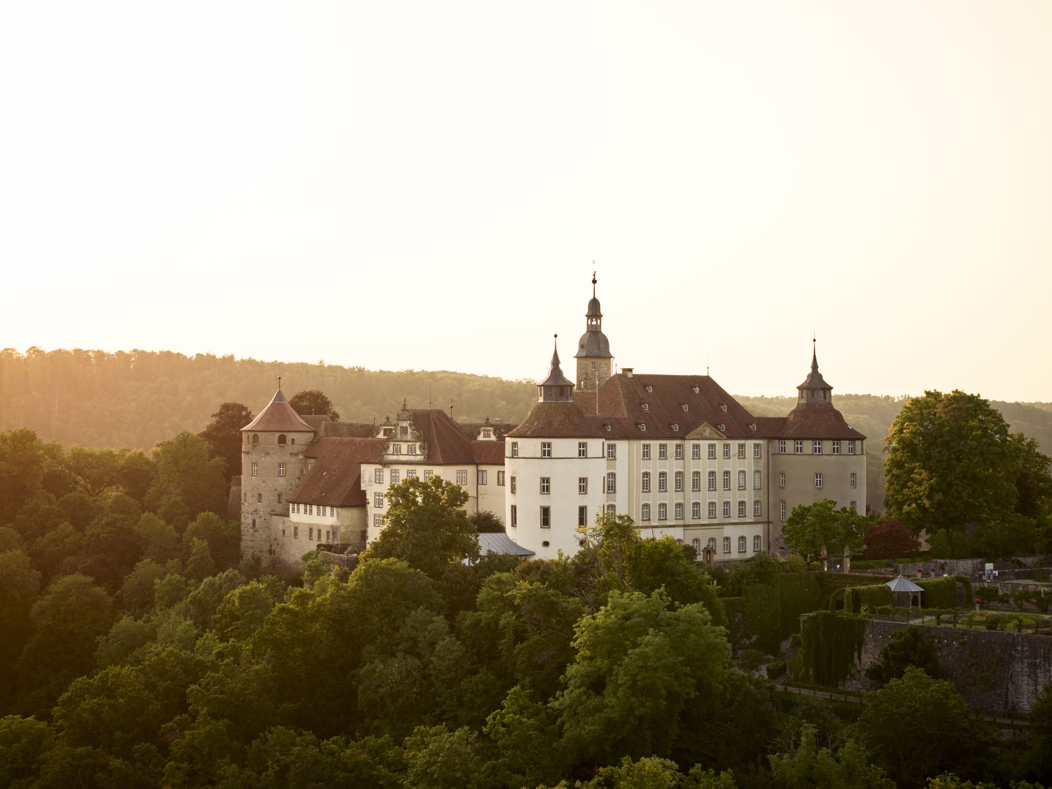
Where castles reign and palaces shine – cycling in the Süden ganz oben
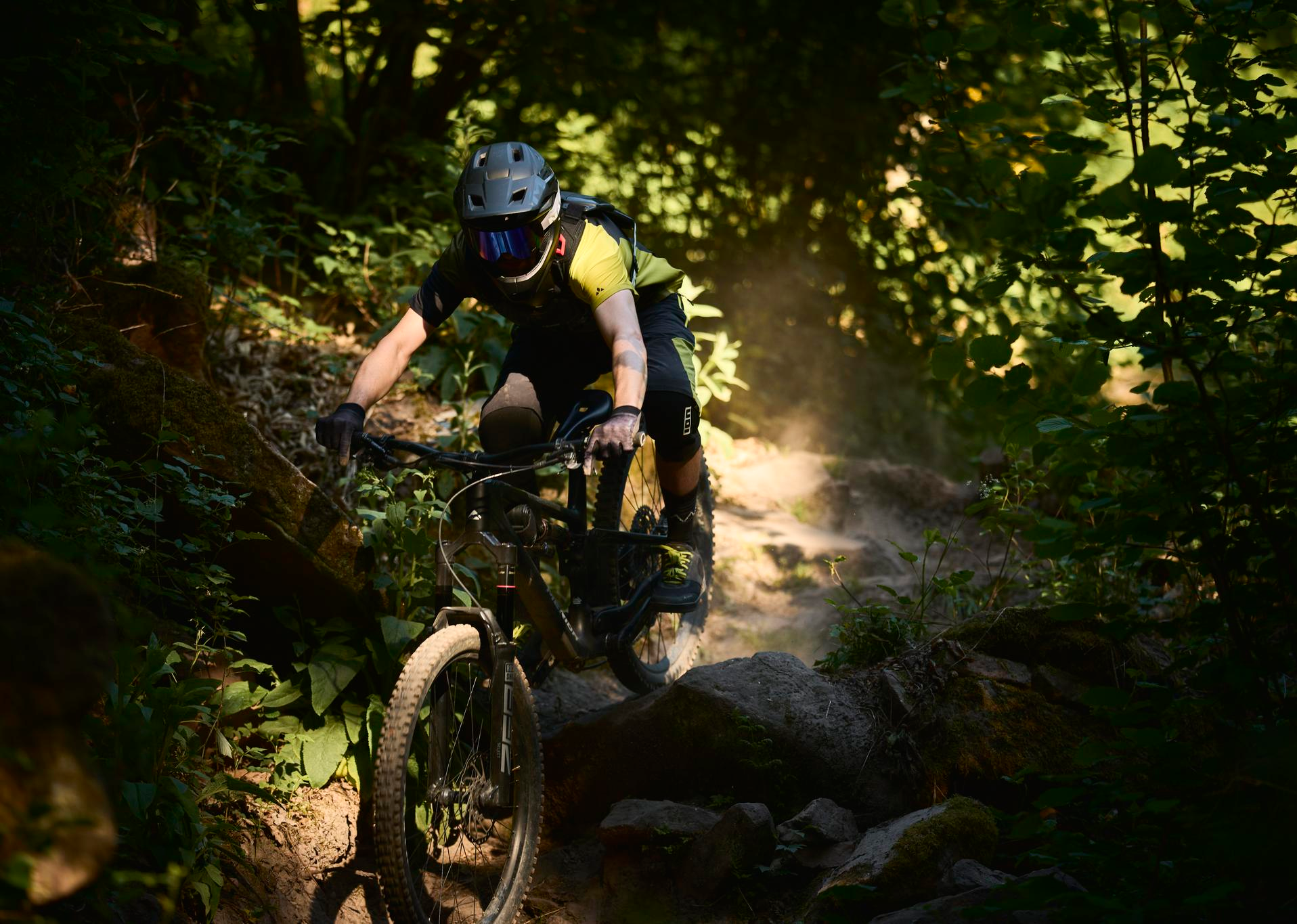
MTB, gravel and bikepacking in the Süden ganz oben
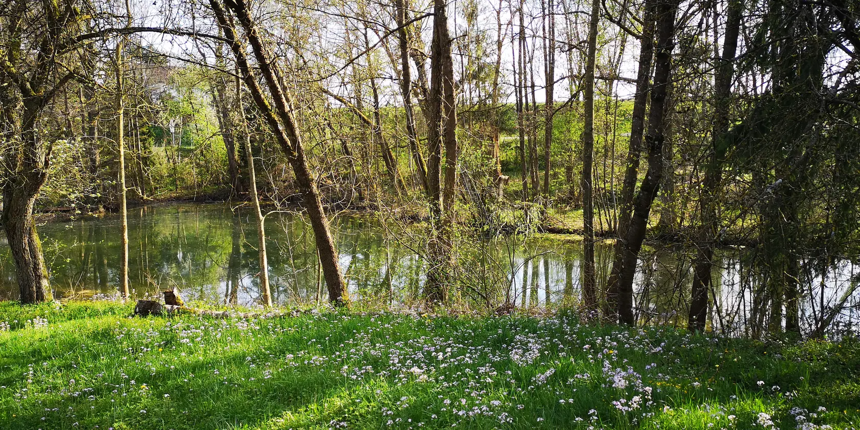
Aktiv in die längeren Tage – Frühlingsradeln im Norden Baden-Württembergs
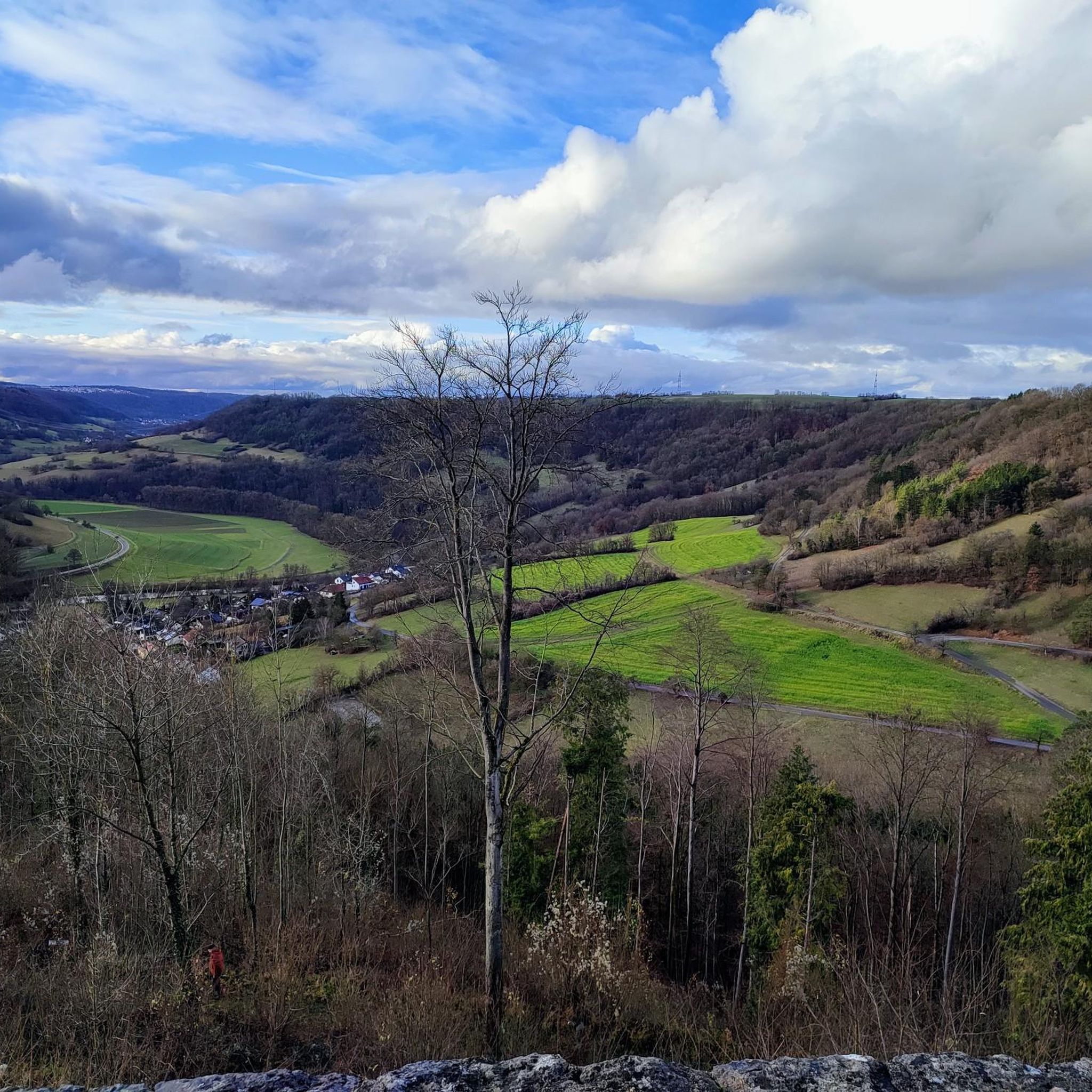
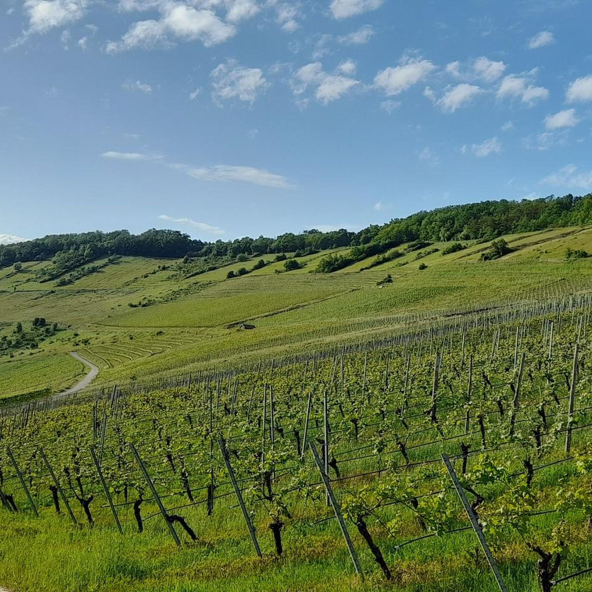
Cycling around Künzelsau
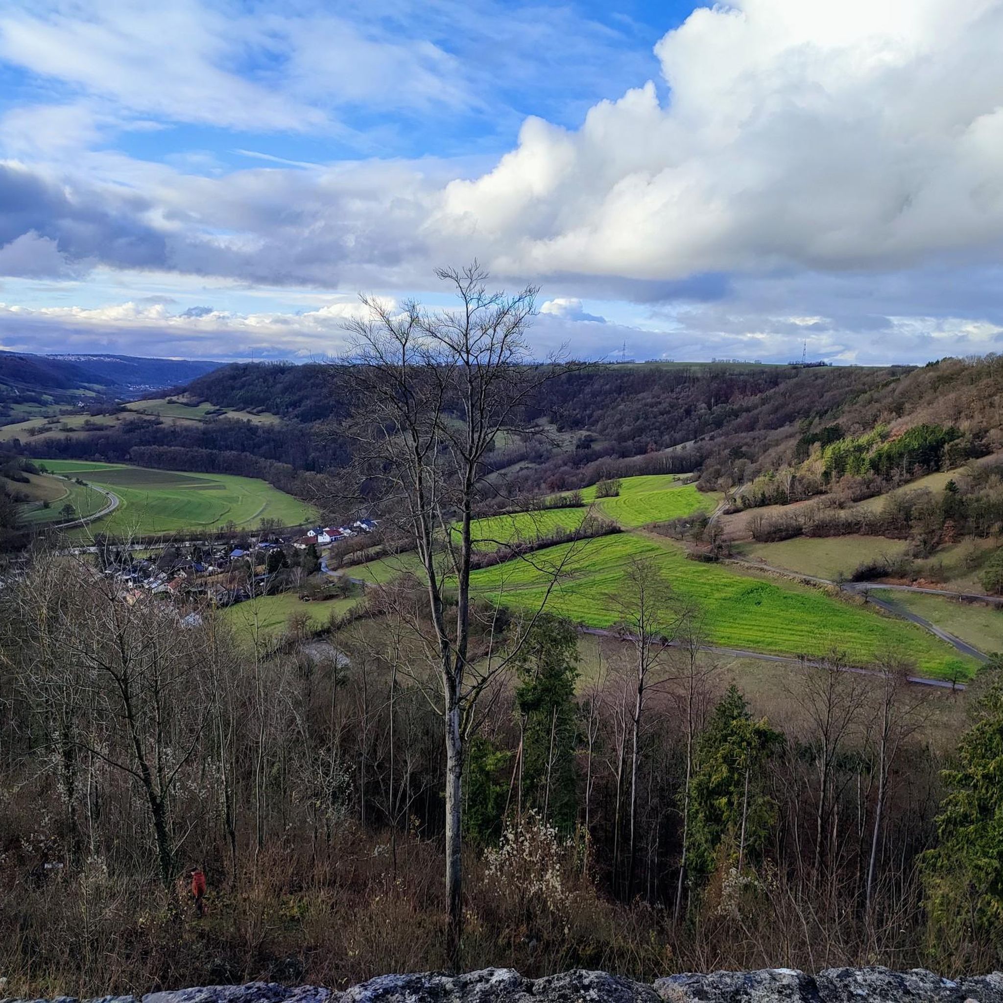
Hiking around Künzelsau
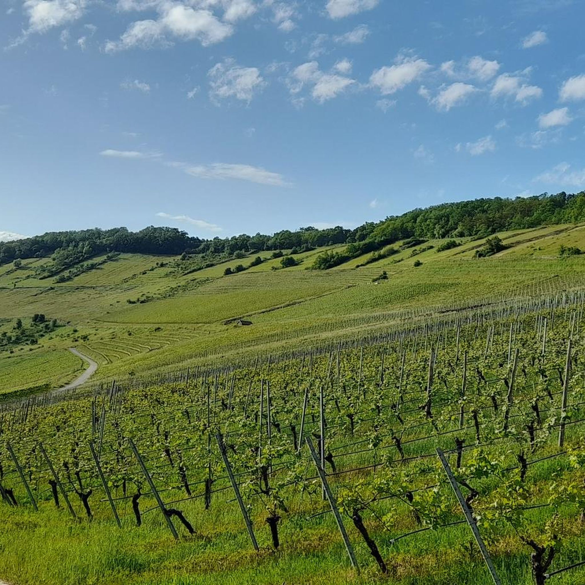
Running Trails around Künzelsau
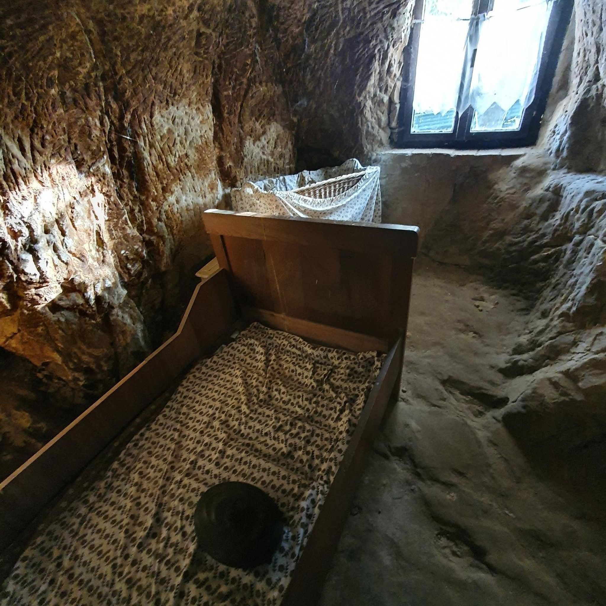
MTB Trails around Künzelsau
Gravel biking around Künzelsau
Other adventures around Künzelsau


Tips from the Community

Stone arch by bike
0
0
Cycle path under the Kochertal bridge
0
0
Forchtenberg town center by bike
0
0
Kocherwerk cafe& and museum
0
0
Winkler‘s Weinstube is very nice
0
0
Ruins discovered while cycling
0
0
Kochertalradweg by bike
0
0
Frequently Asked Questions
How many road cycling routes are available around Künzelsau?
There are over 110 road cycling routes available around Künzelsau, offering a wide range of options for different skill levels and preferences.
What kind of terrain can I expect on road cycling routes around Künzelsau?
The region offers diverse terrain, from predominantly flat paths along the scenic Kocher and Jagst river valleys to undulating hills and more challenging climbs on the Hohenlohe Plateau. You'll find routes traversing forests, open fields, and riverine environments.
Are there easy road cycling routes suitable for beginners in Künzelsau?
Yes, Künzelsau offers several easy road cycling routes, with 7 routes specifically categorized as easy. These often follow the river valleys, providing a gentler experience for beginners or those seeking a relaxed ride.
Are there challenging road cycling routes for experienced cyclists?
Absolutely. For experienced cyclists looking for a challenge, there are 48 difficult road cycling routes. These routes often ascend to the heights of Nagelsberg and Garnberg, offering panoramic views over the Kocher Valley and requiring more strength and endurance.
What are some scenic highlights or points of interest along the road cycling routes?
Many routes feature impressive landmarks and natural beauty. You can cycle past the Kochertal Bridge, Germany's highest car bridge, or explore the picturesque Forchtenberg Old Town. The Kocher and Jagst river valleys themselves offer stunning natural scenery.
Can I find circular road cycling routes in Künzelsau?
Yes, many of the road cycling routes around Künzelsau are designed as loops, allowing you to start and end at the same point. For example, the Henkersbrücke Schwäbisch Hall – Kochertal Bridge loop from Taläcker Bergstation is a popular circular option.
When is the best time of year for road cycling in Künzelsau?
The spring, summer, and early autumn months generally offer the best conditions for road cycling in Künzelsau. During these seasons, the weather is typically mild, and the landscapes along the Kocher and Jagst valleys are particularly vibrant.
Are there historical sites to explore along the routes?
Yes, the region is rich in history. You can discover historical sites like Neuenstein Castle, a moated castle dating back to the 12th century, or visit charming towns like Forchtenberg with its well-preserved old town, often found along the cycling paths.
What do other road cyclists say about the routes in Künzelsau?
The road cycling routes in Künzelsau are highly rated by the komoot community, with an average score of 4.6 stars from over 200 reviews. Cyclists often praise the varied terrain, the scenic river valleys, and the well-maintained paths.
Are there options for longer distance road cycling tours?
Yes, the extensive network of cycle paths, including the renowned Kocher-Jagst Cycle Path, allows for longer distance tours. Routes like the View of the Kocher River – Kocherrain Path loop from Talstation offer a substantial ride of nearly 90 km, providing ample opportunity for extended exploration.
Can I cycle along both the Kocher and Jagst rivers?
Absolutely. The Kocher-Jagst Cycle Path is a major draw, offering extensive routes that allow you to experience both river valleys. These 'twin rivers' flow almost parallel before merging, providing a rich natural and scenic cycling experience.
Where can I find parking for road cycling routes in Künzelsau?
While specific parking spots vary by route, Künzelsau and its surrounding towns offer various public parking options. Many routes start near town centers or designated trailheads where parking facilities are available, making it convenient to access the cycling network.
Is it possible to reach the road cycling routes by public transport?
Künzelsau has public transport connections that can help you access various parts of the region. While direct access to every trailhead might vary, using local buses or trains to reach Künzelsau or nearby towns can be a good starting point for your cycling adventure.
Most popular routes around Künzelsau
Most popular attractions around Künzelsau

Get inspired with the komoot mobile app


Explore more
Browse the best Road cycling routes in other regions.
