The 5 Most Amazing Peaks around Fournes-Cabardès
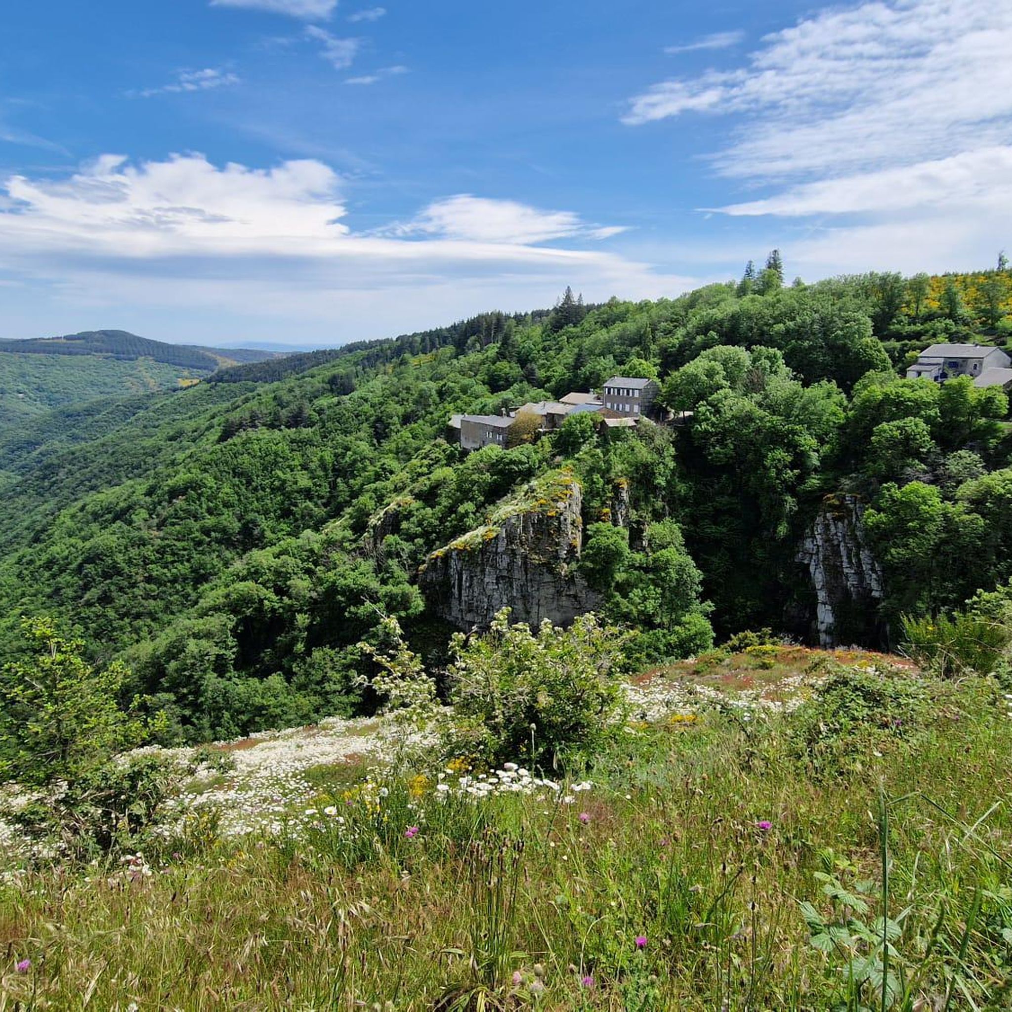
Best mountain peaks around Fournes-Cabardès are found within the Montagne Noire region, offering diverse landscapes and panoramic views. This area is characterized by its low mountains, featuring beech forests and moorland. The terrain provides opportunities for exploring various geological formations and offers views stretching towards the Pyrenees.
Best mountain peaks around Fournes-Cabardès
- The most popular mountain peaks is Pic de Nore, a summit that is the highest point of the Montagne Noire. It is recognizable by its red and…
Last updated: June 25, 2026
Pic de Nore
Highlight • Summit
Translated by Google •
Tip by

Ascent of Pic de Nore via Mazamet (Route des Usines)
Highlight (Segment) • Climb
Translated by Google •
Tip by

Sign up now to discover places like this
Get recommendations on the best single tracks, peaks, & plenty of other exciting outdoor places.
Sign up for free
Peyremaux Rock
Highlight • Summit
Translated by Google •
Tip by

Roc de l'Aigle
Highlight • Viewpoint
Translated by Google •
Tip by

Start today with a free account
Your next adventure awaits.
Login or Signup

Tips from the Community


Save your energy for the last 5km, be careful when it's windy.
0
0

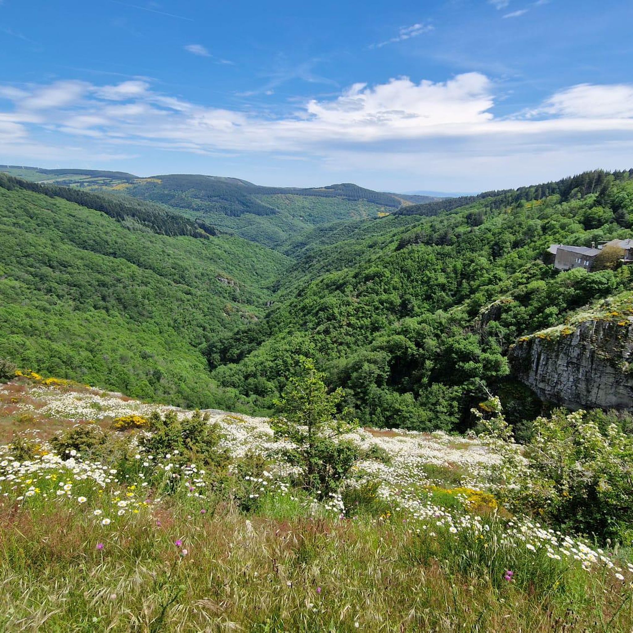
Very nice walk, varied nature, beautiful view, very pretty heather ☺️ Partially shaded.
1
1

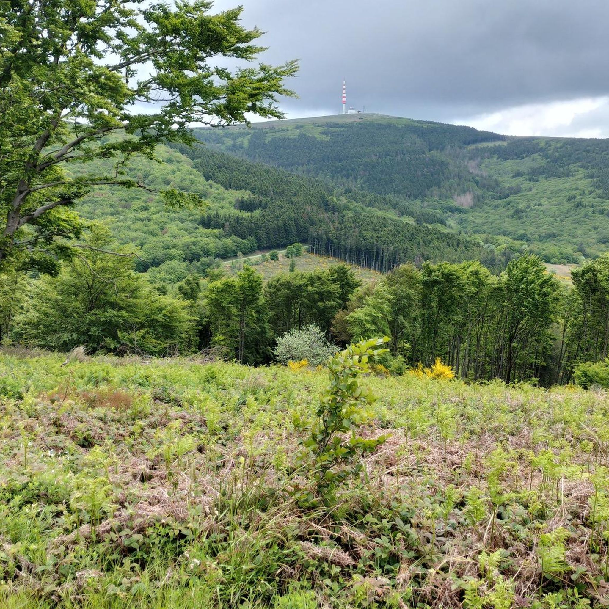
Despite its low altitude (only 1,211 meters), the Pic de Nore, located in the Aude department and the highest point of the Montagne Noire, can experience extremely harsh weather conditions. You can't miss its imposing red and white television antenna.
0
0

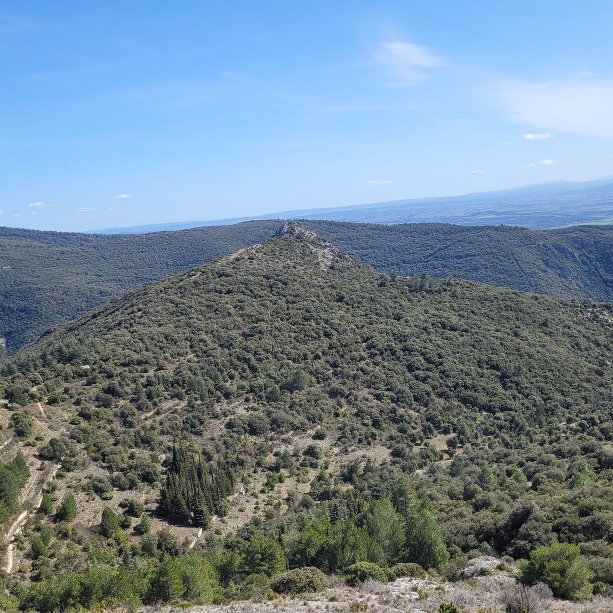
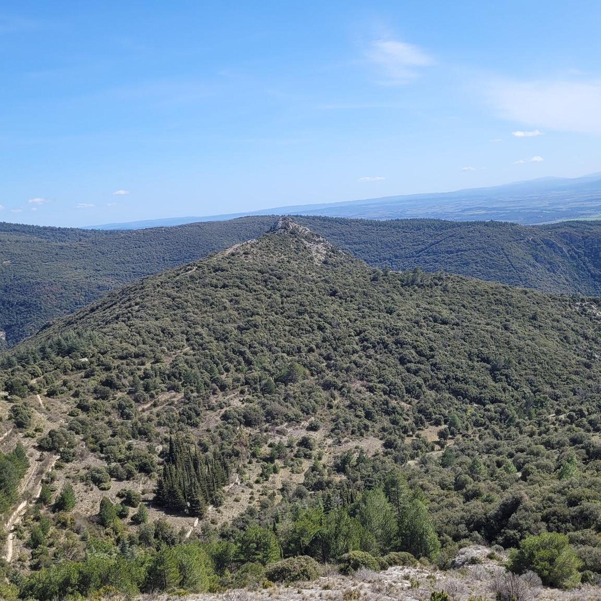
The Roc de l'Aigle offers a magnificent panorama over the Montagne Noire to the Pyrenees, and the ridge to reach it is quite spectacular.
1
0

The Pic de Nore is a small flat peak that culminates at 1,211 meters. It offers a superb 360° panorama of the Montagne Noire and the south-western limits of the Haut-Languedoc regional natural park.
2
0
The rock of Peyremaux forms a beautiful rocky tooth which is extracted from the forest massif located at its feet. It is possible to climb on it to go to the end, but you have to be comfortable on very technical ground. For insiders, the panorama is worth a thousand times this small climb.
1
0
Frequently Asked Questions
What are the most prominent mountain peaks near Fournes-Cabardès?
The most prominent peak is Pic de Nore, the highest point of the Montagne Noire at 1,211 meters. Other notable peaks include Serre de Montredon, the highest point within the Fournes-Cabardès commune itself, and Mont Simel, known for its panoramic observation point.
What kind of views can I expect from Pic de Nore?
From Pic de Nore, you can expect a magnificent 360° panoramic view that stretches across several departments, including Hérault, Tarn, Aude, Pyrénées Orientales, Ariège, and Haute Garonne. It offers expansive views of the Montagne Noire and the south-western limits of the Haut-Languedoc regional natural park.
Are there any unique geological features among the peaks?
Yes, Peyremaux Rock is a notable geological feature, forming a distinctive rocky tooth extracted from the forest massif. It's possible to climb it for a 360-degree view, though it requires navigating technical terrain. The region also features diverse landscapes including beech forests and moorland.
What is the best time of year to hike the mountain peaks around Fournes-Cabardès?
While the region is generally accessible, be aware that higher peaks like Pic de Nore can experience extremely harsh weather conditions despite its moderate altitude. Spring and autumn generally offer pleasant temperatures for hiking, while summer can be warm. Winter hiking is possible but requires preparation for potentially severe weather.
What outdoor activities are available near these mountain peaks?
The area around Fournes-Cabardès offers a variety of outdoor activities. You can find numerous MTB trails, running trails, and road cycling routes. Many of these routes incorporate the mountain peaks, offering scenic challenges for various skill levels.
Are there any easy or beginner-friendly mountain hikes in the area?
The Montagne Noire region, which encompasses Fournes-Cabardès, is characterized by 'low mountains' and offers a variety of trails. While some ascents can be challenging, many routes traverse through beech forests and moorland, providing options for different fitness levels. For example, the climb to Pic de Nore from villages like Pradelles-Cabardès is considered relatively easy.
What historical elements can be found on trails to the peaks?
When hiking towards Pic de Nore, particularly from Pradelles-Cabardès, you might encounter historical elements such as the 'Cabane d'Hélène' menhirs and the historic ice houses of Pradelles, adding a cultural dimension to your outdoor adventure.
What makes Roc de l'Aigle a worthwhile visit?
Roc de l'Aigle offers a magnificent panorama over the Montagne Noire, extending all the way to the Pyrenees. The ridge leading to it is particularly notable and adds to the spectacular experience.
How long does it typically take to hike to Pic de Nore?
Hiking duration to Pic de Nore varies depending on the starting point and route. For instance, a moderate MTB loop from Pradelles-Cabardès around the summit is about 21 km, while a difficult running trail from Cabrespine is around 22 km. A direct hike would be shorter but still requires a few hours.
What do visitors enjoy most about the mountain peaks around Fournes-Cabardès?
Visitors frequently praise the superb 360° panoramas offered by peaks like Pic de Nore and Peyremaux Rock. The sense of reaching the highest point of the Montagne Noire, the diverse landscapes including beech forests, and the tranquil atmosphere are also highly appreciated.
Are there any less-known peaks worth exploring in the immediate vicinity of Fournes-Cabardès?
Yes, Serre de Montredon, located north of the commune, is the highest point *within* Fournes-Cabardès itself at 856 meters. Mont Simel, to the east, also offers local views and once housed a fire lookout post, suggesting strategic panoramic observation points.
Can I find trails that combine hiking with other activities like cycling?
Absolutely. The region is well-suited for combining activities. Many trails are multi-use, and you can find specific MTB trails and road cycling routes that ascend or pass by the mountain peaks, allowing you to experience the landscape in different ways.
Most popular routes around Fournes-Cabardès
Most popular attractions around Fournes-Cabardès

Get inspired with the komoot mobile app


Explore more
See even more amazing summits around Fournes-Cabardès with these guides:
