The 18 Most Amazing Peaks around Palma De Gandía
Best mountain peaks around Palma De Gandía are found in a region characterized by mountains and valleys, offering various natural attractions. This municipality, nestled within the La Safor region of Valencia, Spain, provides access to diverse mountainous terrain. The area is part of broader systems like the Mondúver massif and the Sierra de la Safor, which offer opportunities for hiking and enjoying panoramic views. These mountains, though not strictly within Palma De Gandía's municipal limits, are in its immediate vicinity…
Last updated: July 4, 2026
Mondúver summit
Highlight • Summit
Translated by Google •
Tip by

L'Esquellot on the Penyal de Ferragut
Highlight • Summit
Translated by Google •
Tip by

Sign up now to discover places like this
Get recommendations on the best single tracks, peaks, & plenty of other exciting outdoor places.
Sign up for free
Cim de la Safor (1,013 m)
Highlight • Summit
Translated by Google •
Tip by

Covatelles Summit
Highlight • Summit
Translated by Google •
Tip by
Molló de la Falconera
Highlight • Viewpoint
Translated by Google •
Tip by
Sign up for free to discover even more peaks around Palma De Gandía.
Sign up for free
Already have an account?
Start today with a free account
Your next adventure awaits.
Login or Signup

Tips from the Community

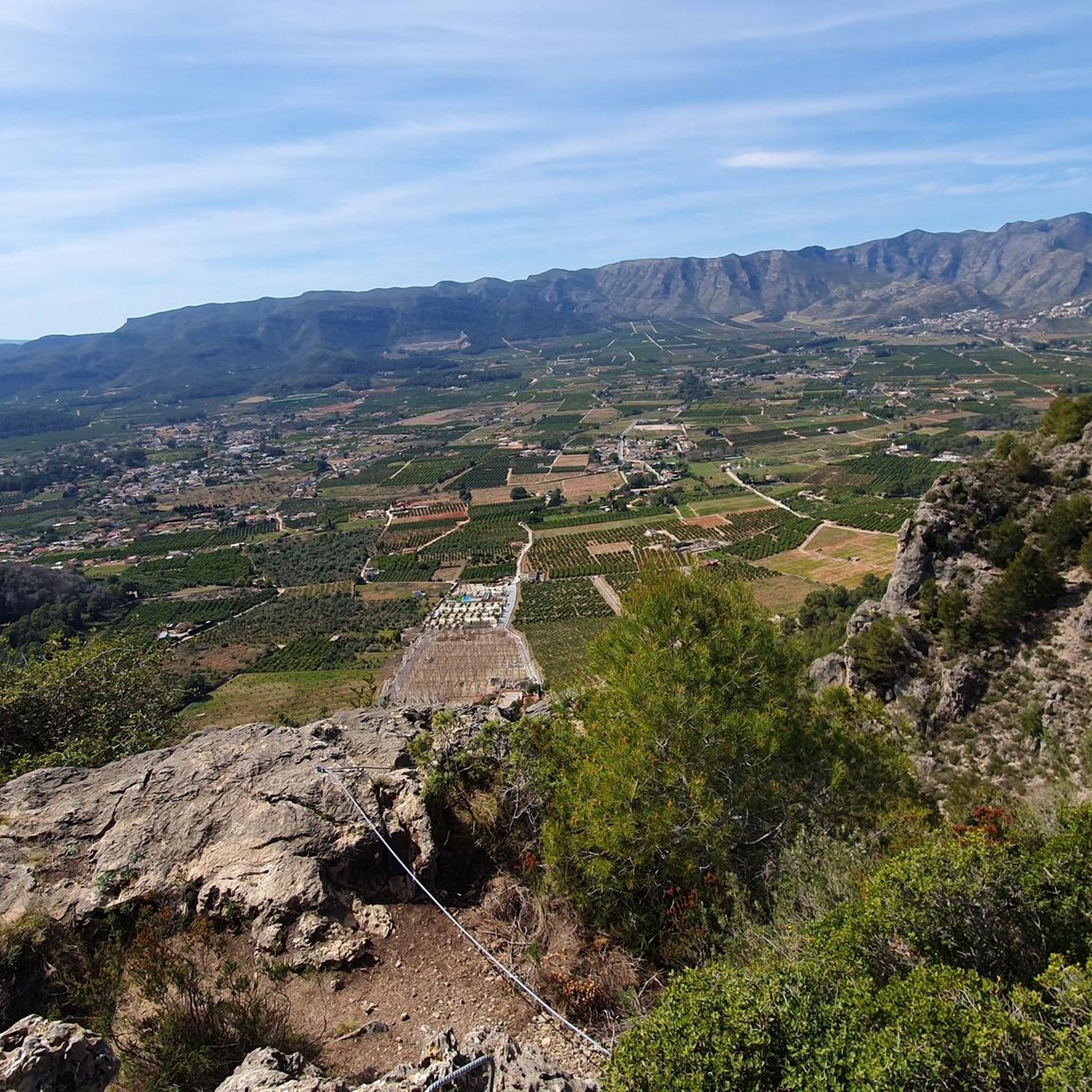
From the TOP of the mountain one can have great view of La SAFOR and MARINA ALTA areas (nice view of Gandia and Oliva towns). Unfortunately, due to very rich vegetation (high trees) it is not possible to enjoy a 360 degree view similar to option which one has by hiking up Montuver mountain. Short video about this hike could be found under the following link: https://www.youtube.com/watch?v=j-mfyWy6RzQ
1
0
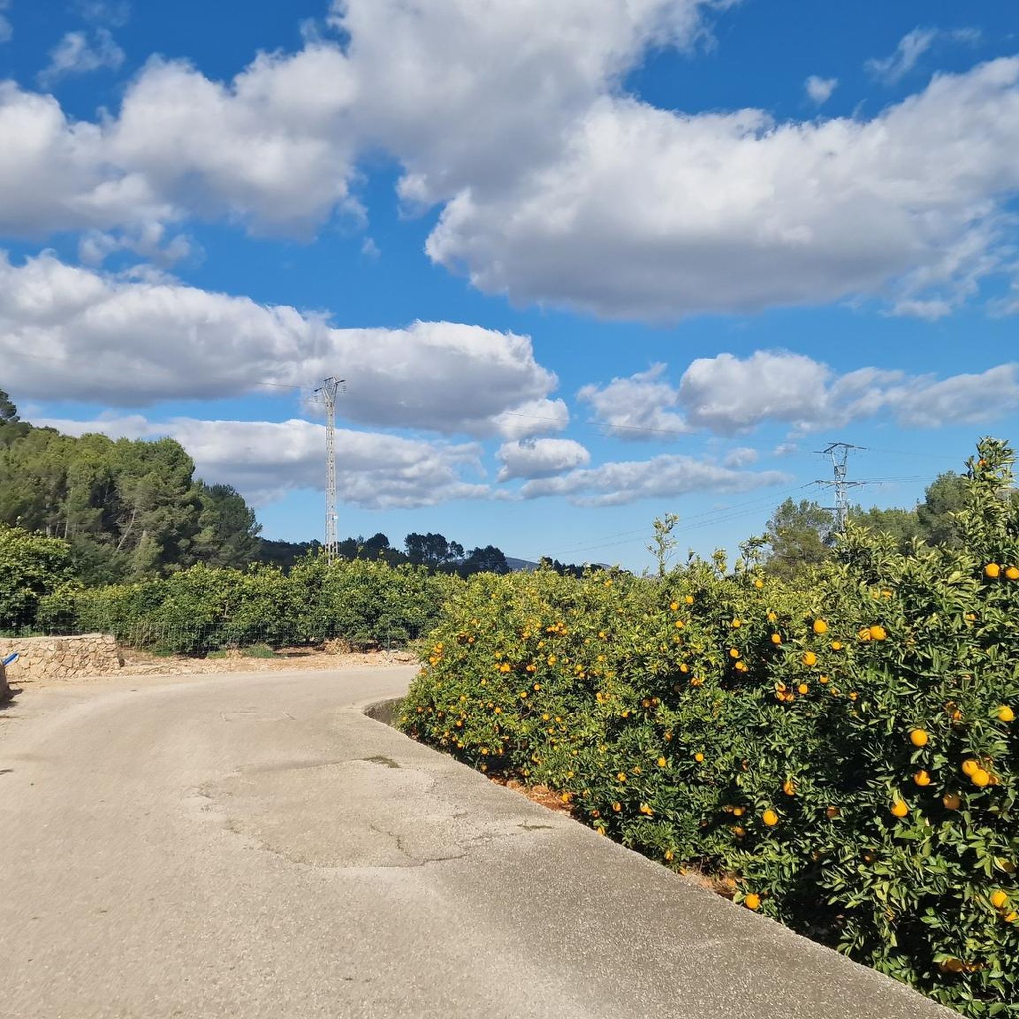
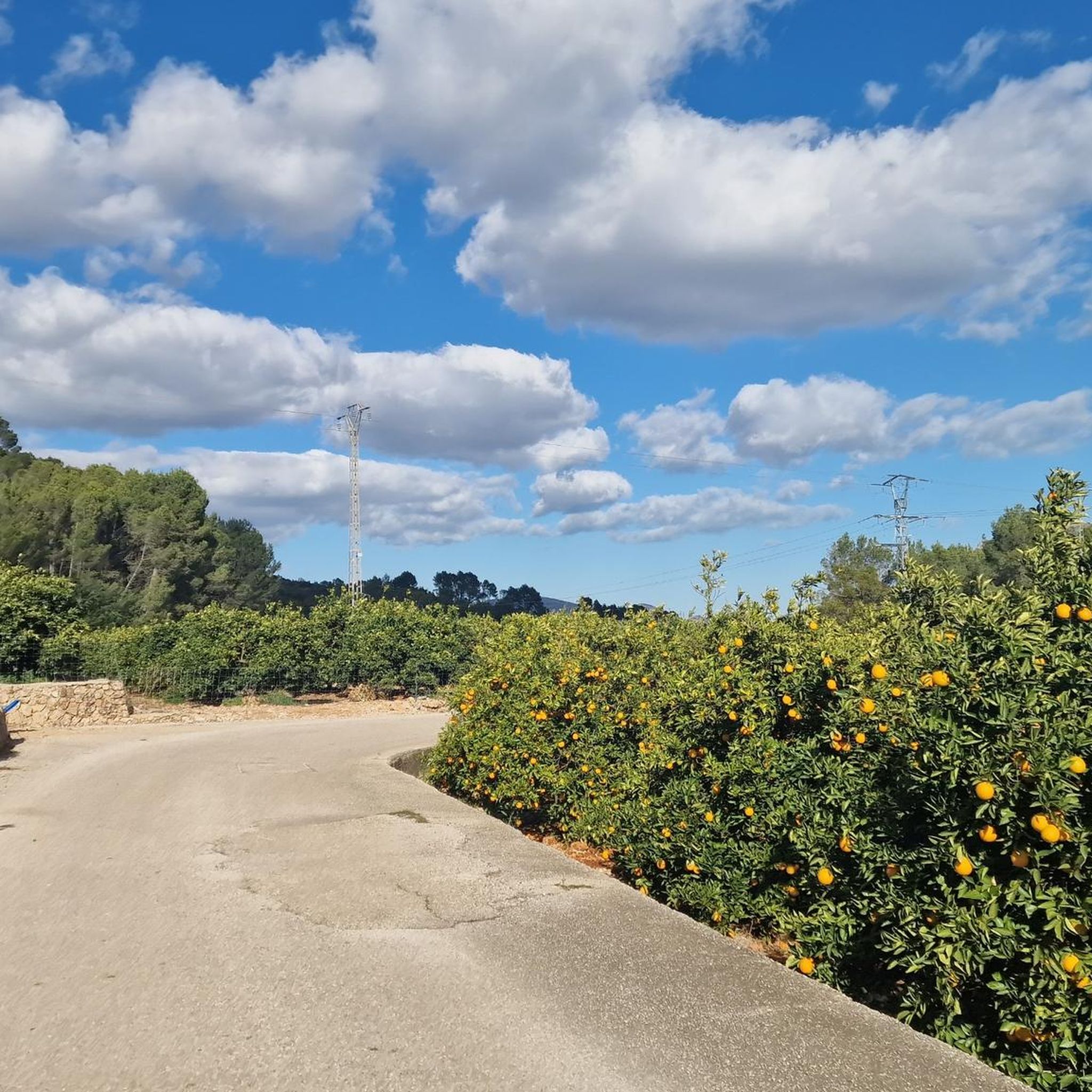
significant advantage of this route is that you can choose the difficulty of the conditions of ascent or descent. An asphalt road leads directly to the top.
2
0

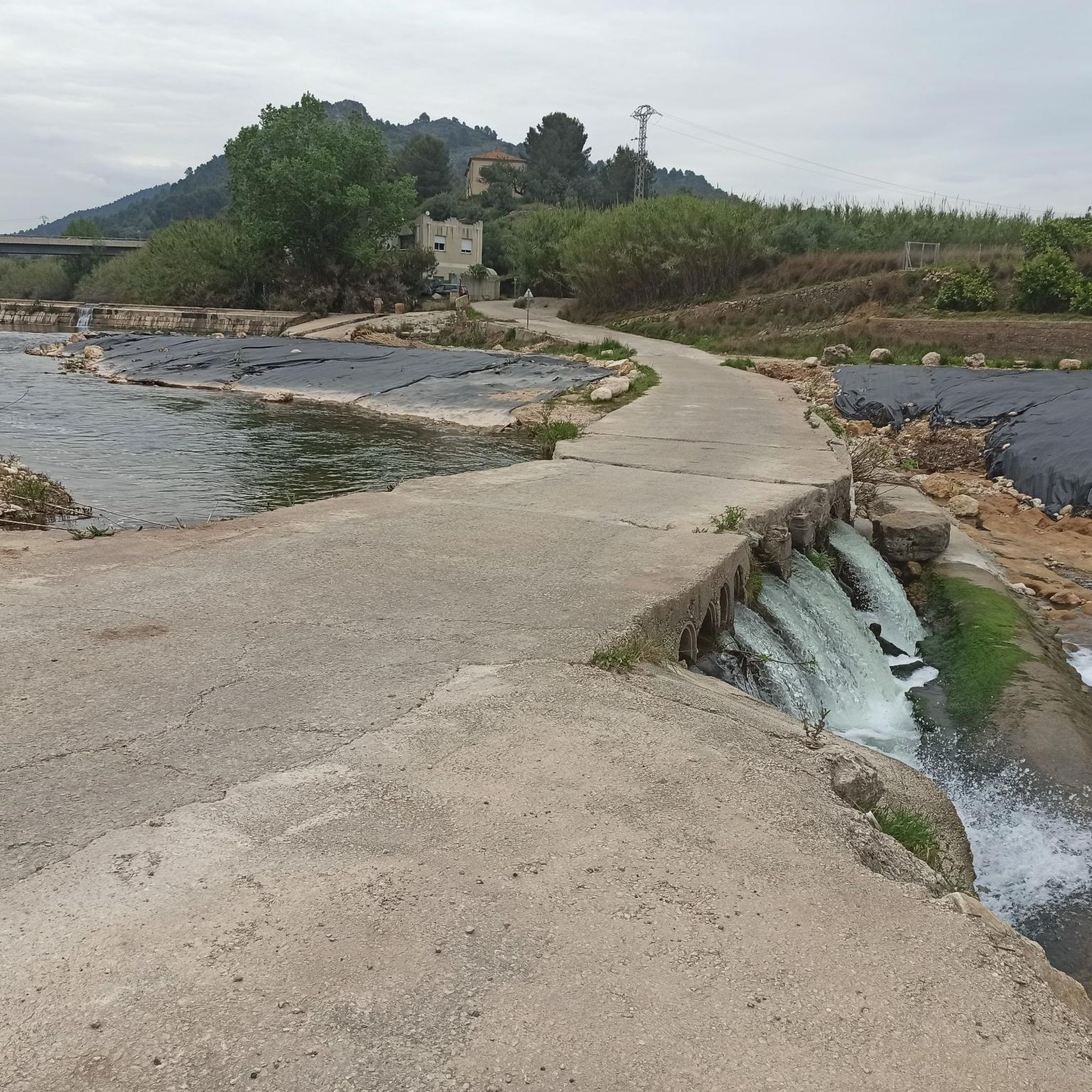
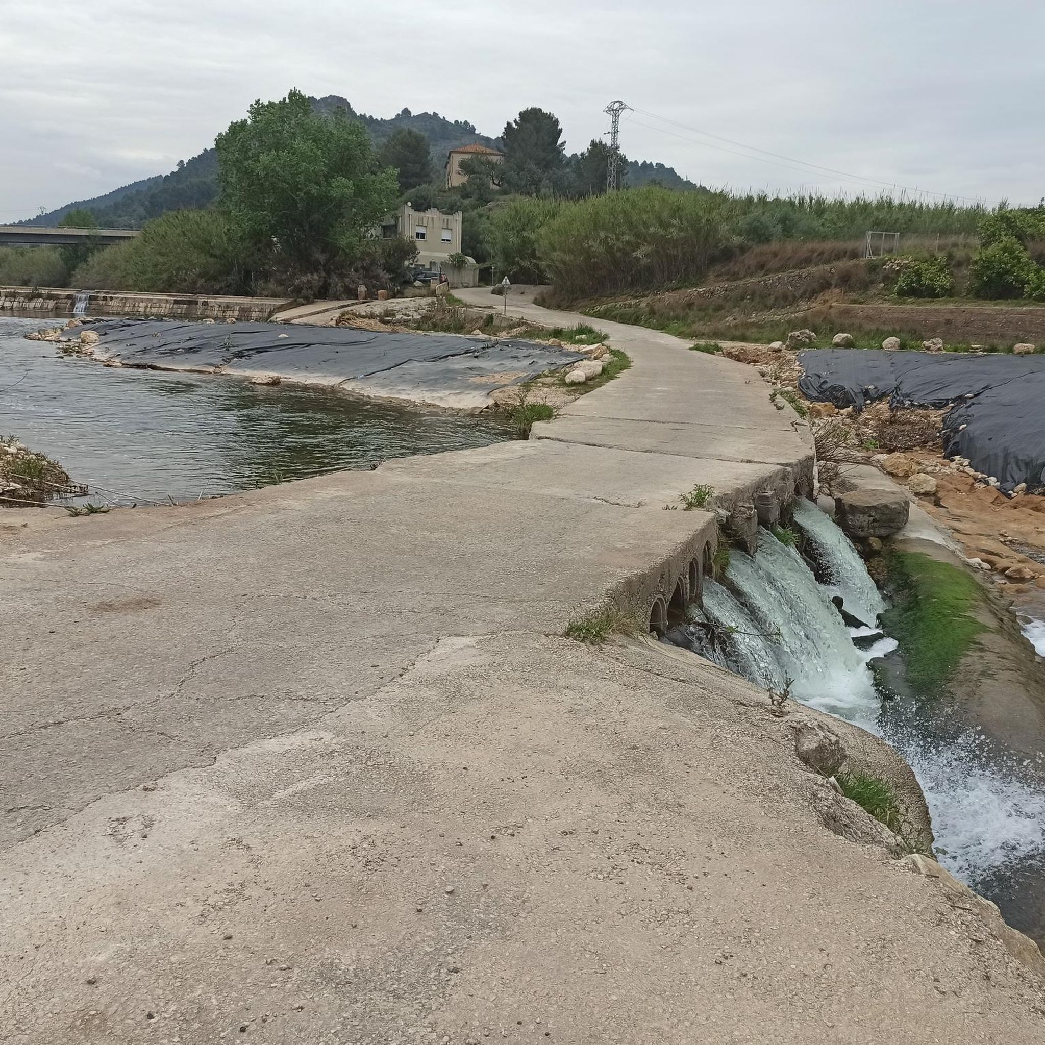
The start of the hike is a bit frightening due to the location (rainwater drainage basins and dog excrement), but after 500 m you go into nature. The hike is well signposted and easy to do with sturdy shoes.
2
1

L'Esquellot, in Spanish the cowbell, is located at the top of the Ferragut Rock. We can get there by two paths from behind the Safor service area, next to the BP gas station on the E-15 at the height of Xeraco. L'Esquellot is located there thanks to a challenge that the Xeraco mountain club (Club Muntanyer Xeraco) once placed, to encourage people to climb the mountain and ring the bell. From this point we have magnificent views of the sea, we can also see the town of Xeraco, the Vaca River that flows towards the sea, and the Guaita de Xeraco tower.
4
0
Molló de la Creu, also called Molló de la Falconera or V.G. de la Falconera is one of the places that every person who is in Gandía should visit. The viewpoint offers us spectacular views, we can see the impressive Cim de Mondúver and the coast of Gandía on the other side. You can return to Gandía along the same path or, if you are an experienced hiker, take the circular route, but keep in mind that the descent is very steep.
3
0

Steep climb. Will be rewarded with a great view
1
0

On route PR-V 153. El Cim del Mondúver from Xeresa.
11
0
The PR-CV 347 trail, known as Ruta dels Assagadors and Cim de Covatelles, is a beautiful trail located in the Font d'en Carròs.
12
0
Frequently Asked Questions
What are some of the most popular mountain peaks to visit around Palma De Gandía?
The region offers several highly regarded peaks. Mondúver summit is a legendary choice, known for its extensive panoramic views across the province of Valencia. Another popular spot is Covatelles Summit, accessible via the well-marked PR-CV 347 trail, offering rewarding views after a pleasant hike.
What kind of views can I expect from the mountain peaks in this area?
From the peaks around Palma De Gandía, you can expect breathtaking panoramic views. These often include the mountains of La Safor, the vast coastline of the Gulf of Valencia, and on exceptionally clear days, you might even spot Ibiza. For instance, Molló de la Falconera offers spectacular vistas of the impressive Cim de Mondúver and the Gandía coast.
Are there easy mountain hikes around Palma De Gandía?
While some peaks require good physical fitness, there are intermediate options. The PR-CV 347 trail to Covatelles Summit is considered an intermediate trail that is well-signposted and manageable with sturdy shoes. For easier hiking routes, you can explore options like the Senda del Castell Trail (SL-CV 138) which is rated as easy. Find more options in the Hiking around Palma De Gandía guide.
What are the most challenging mountain trails in the area?
For those seeking a challenge, the ascent to Mondúver summit, particularly via routes like PR-V 153 from Xeresa, involves steep gradients and requires a good level of physical fitness. Similarly, reaching Molló de la Falconera is considered a challenging hike, especially if you opt for the circular route with its very steep descent.
What is the best time to hike the mountains around Palma De Gandía?
The best time to hike in the mountains around Palma De Gandía is typically during the cooler months, from autumn through spring (October to May). During these periods, temperatures are more moderate, making for a more comfortable experience. Summer can be very hot, so early morning or late afternoon hikes are advisable if visiting then.
Are there family-friendly mountain trails near Palma De Gandía?
While specific 'family-friendly' categories aren't always assigned to peaks, many intermediate trails can be suitable for families with older children who are used to hiking. Look for trails described as 'intermediate' or 'easy' in the Hiking around Palma De Gandía guide, such as the Senda del Castell Trail (SL-CV 138), which is rated easy.
Can I bring my dog on the mountain trails around Palma De Gandía?
Many natural areas and trails in Spain are dog-friendly, provided dogs are kept under control, especially around wildlife or livestock. It's always best to check local regulations for specific trails or protected areas. Generally, dogs are welcome on most mountain paths, but ensure they are leashed and you clean up after them.
What outdoor activities can I do near these mountain peaks besides hiking?
Beyond hiking, the region around Palma De Gandía offers excellent opportunities for road cycling and general cycling. You can find various routes, from moderate to difficult, such as 'El Monduver — Circular from Gandia' for road cycling or 'Tour of the Monasteries of La Safor and La Vall d'Albaida' for touring bicycles. Explore these options in the Road Cycling Routes and Cycling around Palma De Gandía guides.
Is parking available near the mountain trailheads?
Parking availability varies by trailhead. For popular starting points, especially those for well-known routes like the PR-CV 347 to Covatelles Summit, you can often find designated parking areas. It's advisable to research specific trailheads in advance to confirm parking options and any potential fees.
How can I reach the mountain trails using public transport?
While some trailheads might be accessible via local bus services from larger towns like Gandía, direct public transport to remote mountain trailheads can be limited. Planning your route with local bus schedules or considering a taxi/ride-share service for the final leg might be necessary for certain starting points.
Are there any unique natural features to look out for on these mountain peaks?
Yes, the region boasts diverse natural features. Beyond the panoramic views, you'll encounter Mediterranean forests and interesting karst formations. Some trails, like those leading to Cim de la Safor (1,013 m), even feature caves and unique rock formations to explore, adding an extra layer of adventure to your hike.
What do visitors enjoy most about the mountain peaks around Palma De Gandía?
Visitors consistently praise the rewarding views after challenging ascents. The extensive panoramas from summits like Mondúver summit, offering vistas of the coast and valley, are frequently highlighted. The well-signposted trails and the opportunity to immerse oneself in nature are also highly valued by the komoot community.
Most popular routes around Palma De Gandía
Most popular attractions around Palma De Gandía

Get inspired with the komoot mobile app


Explore more
See even more amazing summits around Palma De Gandía with these guides:
