The 5 Most Amazing Peaks around Salvaterra De Miño
Best mountain peaks around Salvaterra De Miño are characterized by a generally smooth topography, offering elevated landscapes rather than towering peaks. The municipality's highest elevations are found in its parishes, with Uma reaching 449 meters and Vilacoba at 261 meters. The broader area features a maximum altitude of around 683 meters, providing various viewpoints and natural features. Situated on the northern bank of the Miño River, the region offers a blend of gentle terrain and scenic riverside paths.
Best mountain…
Last updated: August 14, 2026
Alto San Nomedio Summit and Hermitage
Highlight • Summit
Translated by Google •
Tip by

Alto de San Cibrán
Highlight • Summit
Translated by Google •
Tip by

Sign up now to discover places like this
Get recommendations on the best single tracks, peaks, & plenty of other exciting outdoor places.
Sign up for free
Monte do Castelo and Dog Sculpture, Cans
Highlight • Summit
Tip by
Monte de A Picaraña
Highlight • Summit
Translated by Google •
Tip by

Alto de San Fins
Highlight • Summit
Translated by Google •
Tip by
Start today with a free account
Your next adventure awaits.
Login or Signup

Tips from the Community


There are many routes to climb or skirt Mount San Cibran, all of them highly recommended.
0
0

high with views and climb to pre iosa, stellar observatory and chapel
0
0

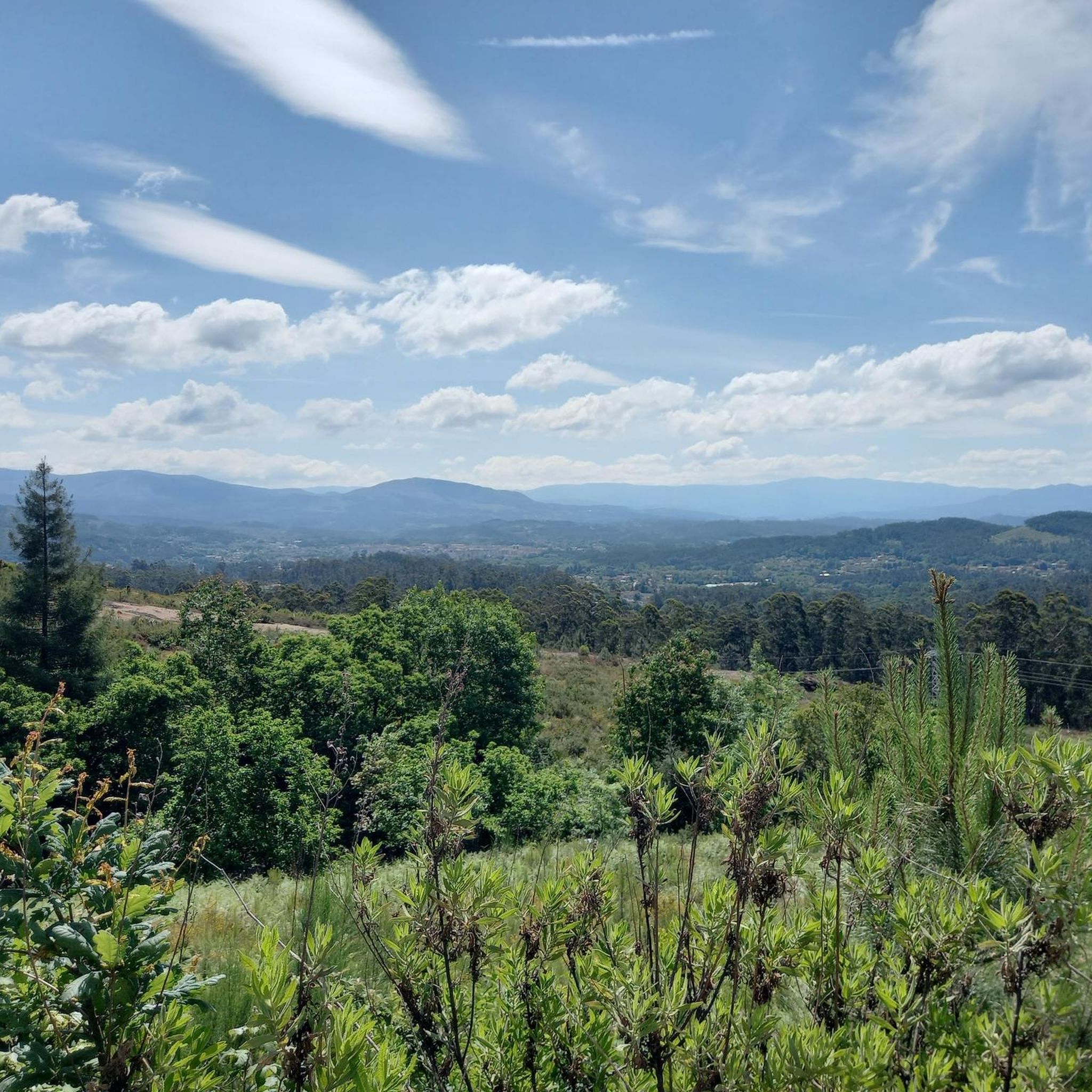
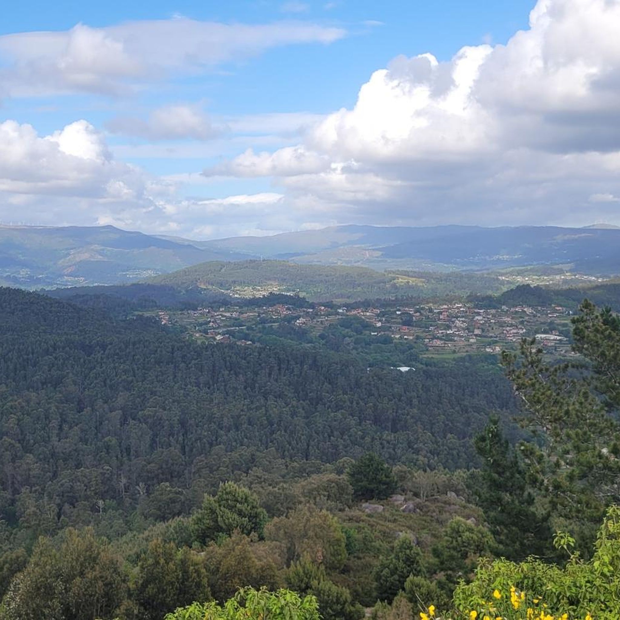
The Alto de San Fins is almost 700m above sea level. In its upper part we can find the Hermitage of San Fins. From the top you can enjoy magnificent views of the Miño river valley
2
0
The top of Alto San Nomedio (Coto Grande) at 690m altitude. At the same top we will find the hermitage of San Nomedio and spectacular views
1
0

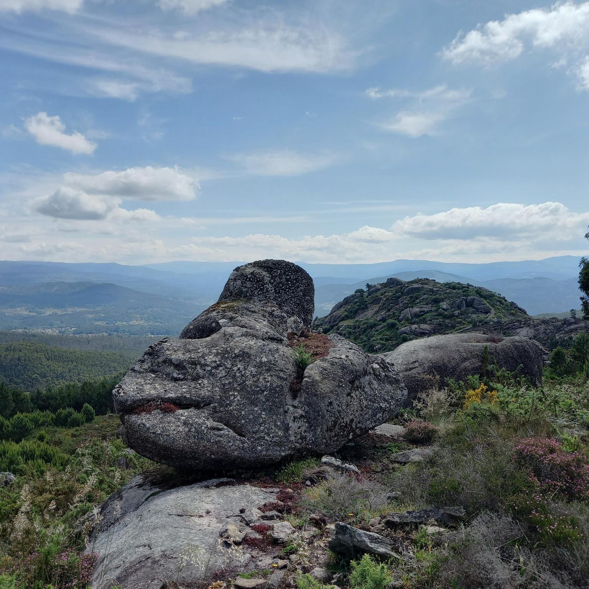
Venue of the Festival de Cans, a film festival that usually takes place during the month of May. There are a couple of bars where you can get refreshments.
0
0
Demanding climb of about 7 Km. The views at the top are spectacular.
1
0

The Monte de la Picaraña (in Galician Monte de A Picaraña) is a mountain located between the municipalities of Puenteareas and Mondariz.
9
1
Frequently Asked Questions
What are the highest points within Salvaterra de Miño municipality?
Within the municipality of Salvaterra de Miño, the highest elevations are found in its parishes. Uma reaches an altitude of 449 meters, and Vilacoba has an elevation of 261 meters. The broader area around Salvaterra de Miño features a maximum altitude of around 683 meters.
Which mountain peaks offer the best views around Salvaterra de Miño?
For expansive views, consider Alto San Nomedio Summit and Hermitage, which reaches 690m and offers spectacular vistas. Alto de San Cibrán also provides beautiful views from its various routes. Additionally, Alto de San Fins, at almost 700m, offers magnificent views of the Miño river valley.
Are there any historical or cultural sites on the mountain peaks?
Yes, Alto San Nomedio Summit and Hermitage features the hermitage of San Nomedio at its peak. Monte de A Picaraña is recognized as a natural monument and historical site. While outside the immediate municipality, Monte de Santa Trega is a significant regional highlight known for its large Celtic settlement and historical importance.
What kind of hiking trails can I find near Salvaterra de Miño's elevated areas?
The region offers a variety of hiking experiences. While Salvaterra de Miño itself features gentle, undulating landscapes and scenic riverside paths along the Miño and Mendo rivers, you can also find trails leading to elevated viewpoints. For more detailed hiking options, explore the Hiking around Salvaterra De Miño guide, which includes routes like the moderate 'Caldas Recreational Area – Bridge Over the Ameal River loop'.
What other outdoor activities are available near the mountain peaks?
Beyond hiking, the area around Salvaterra de Miño is excellent for cycling and mountain biking. You can find various routes, such as the 'Monção Equestrian Center – Lapela Tower loop' for cycling or the 'Canuda Park – Viewpoint of the Miño River loop' for mountain biking. More options are available in the Cycling around Salvaterra De Miño and MTB Trails around Salvaterra De Miño guides.
Are there any family-friendly options for exploring the elevated landscapes?
Yes, many of the trails in Salvaterra de Miño are suitable for families, especially those along the rivers which offer scenic and relatively flat routes. While specific 'family_friendly' categories aren't listed for the peaks, the gentle topography generally makes for accessible walks. For dedicated family-friendly hiking routes, refer to the Hiking around Salvaterra De Miño guide, which includes easy options like the 'Parque da Canuda Playground – Lovers' Viewpoint loop'.
What is the difficulty level of the climbs to these peaks?
The difficulty varies. While many areas offer gentle ascents, some peaks like Alto de San Fins involve a demanding climb of about 7 km. Monte do Castelo also requires preparation for a climb when joining from the N-120. Most other elevated areas provide intermediate-level trails.
What natural features can I expect to see on these elevated routes?
You can expect to encounter diverse natural features. Many peaks offer panoramic viewpoints. Monte de A Picaraña is a natural monument with forested areas. The routes around Alto de San Cibrán lead through forests and offer views towards the Budiño lighthouse. The region's proximity to the Miño River also means scenic riverside landscapes are often part of the experience.
What do visitors enjoy most about the mountain peaks and elevated areas around Salvaterra de Miño?
Visitors particularly appreciate the expansive and spectacular views from summits like Alto San Nomedio and Alto de San Fins. The variety of routes for climbing or skirting peaks like Alto de San Cibrán is also highly recommended. The blend of natural beauty, historical sites, and opportunities for outdoor activities makes these elevated landscapes a popular choice.
Are there any specific permits required for hiking in the Salvaterra de Miño area?
Generally, no specific permits are required for hiking on the public trails and elevated areas around Salvaterra de Miño. However, it's always advisable to respect private property and local regulations, especially if venturing off marked paths.
Can I find places to eat or drink near the elevated areas?
Yes, for example, near Monte do Castelo and Dog Sculpture, Cans, there are a couple of bars where you can get refreshments, especially during events like the Festival de Cans. In general, the towns and villages surrounding the elevated areas will offer cafes and restaurants.
Most popular routes around Salvaterra De Miño
Most popular attractions around Salvaterra De Miño

Get inspired with the komoot mobile app


Explore more
See even more amazing summits around Salvaterra De Miño with these guides:
