The 3 Most Amazing Peaks around Villar Del Pedroso
Best mountain peaks around Villar Del Pedroso offer access to notable summits within the UNESCO Global Geopark Villuercas-Ibores-Jara. This region in Cáceres features diverse landscapes and unique geological formations. The area provides opportunities for challenging ascents and panoramic views across river valleys and mountain ranges.
Best mountain peaks around Villar Del Pedroso
- The most popular mountain peaks is Pico Villuercas Summit, a summit that offers panoramic views of the Villuercas Ibores Geopark. The climb is long and challenging, reaching an altitude of 1543 meters above sea level.
- Another must-see spot is Ascent to Pico Villuercas via Guadalupe, a climb with difficult sections. Visitors can see the entire Geopark and Monfragüe to the north from this route.
- Visitors also love Pico Agudo, a summit located within the Villuercas-Ibores-Jara UNESCO Global Geopark. From its summit, impressive panoramic views encompass the Guadalupe and Viejas River valleys.
- Villar Del Pedroso is known for its summits, climbs, and viewpoints. The region offers a variety of mountain peaks to see and explore, catering to different levels of hiking experience.
- The mountain peaks around Villar Del Pedroso are appreciated by the komoot community, with 8 upvotes and 11 photos shared across the highlights.
Last updated: July 4, 2026
Pico Villuercas Summit
Highlight • Summit
Translated by Google •
Tip by

Ascent to Pico Villuercas via Guadalupe
Highlight (Segment) • Climb
Translated by Google •
Tip by
Sign up now to discover places like this
Get recommendations on the best single tracks, peaks, & plenty of other exciting outdoor places.
Sign up for free
Pico Agudo
Highlight • Summit
From its summit, you can enjoy impressive panoramic views encompassing the Guadalupe and Viejas River valleys, as well as the mountainous formations characteristic of the region's Appalachian terrain. On clear days, you can see the imposing Sierra de Gredos to the north.
Pico Agudo can be accessed via hiking trails that depart from Guadalupe, such as the one that follows part of the historic Isabel la Católica Trail.
Translated by Google •
Tip by

Ascent to Pico Villuercas via Navezuelas
Highlight (Segment) • Climb
Translated by Google •
Tip by

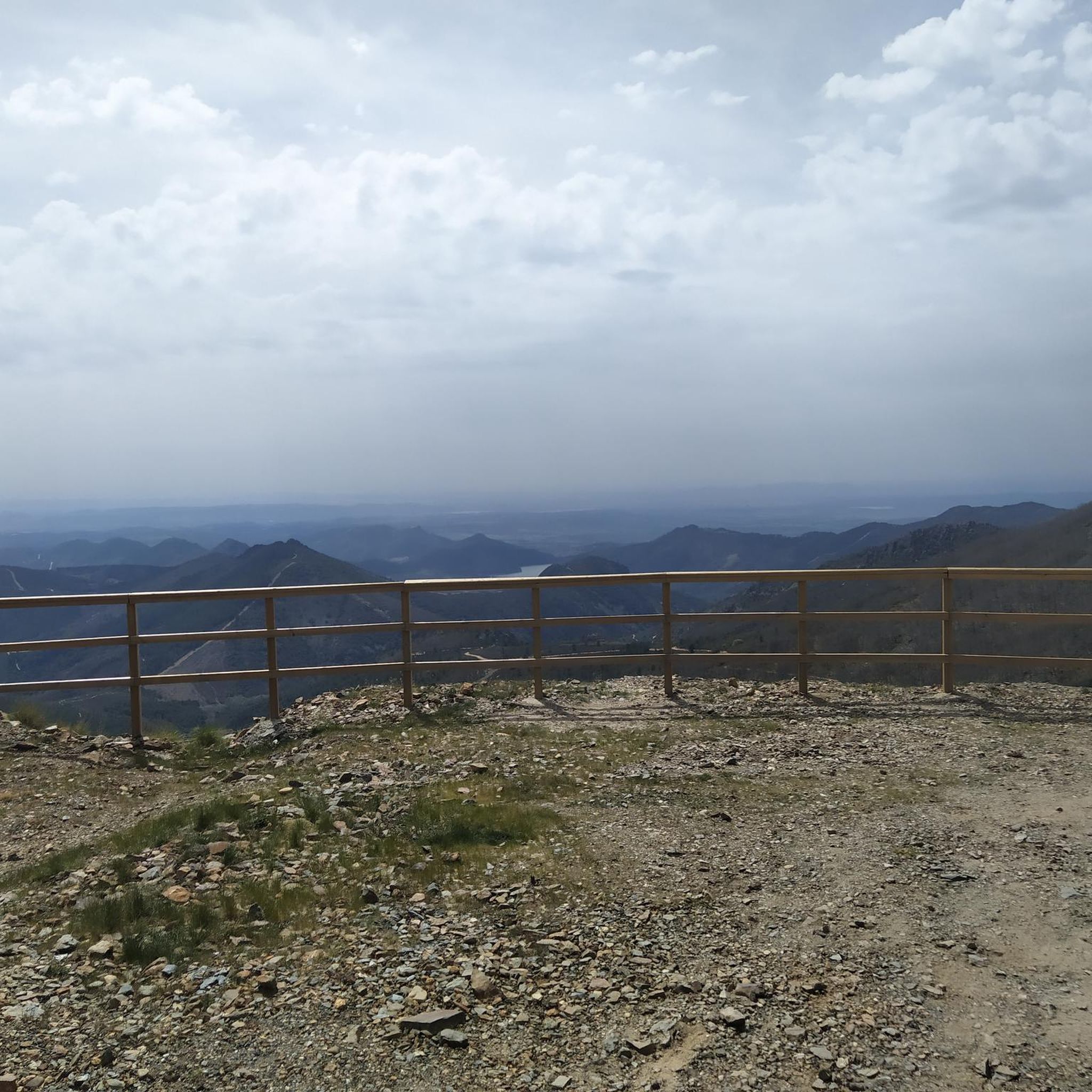
Alto de la Palomera
Highlight • Viewpoint
Showing Translation
Tip by

Start today with a free account
Your next adventure awaits.
Login or Signup
Popular around Villar Del Pedroso
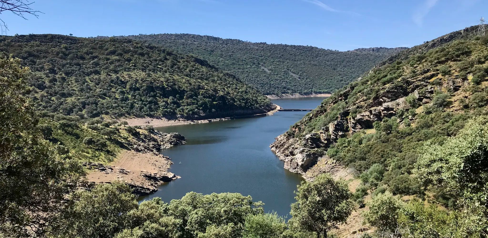
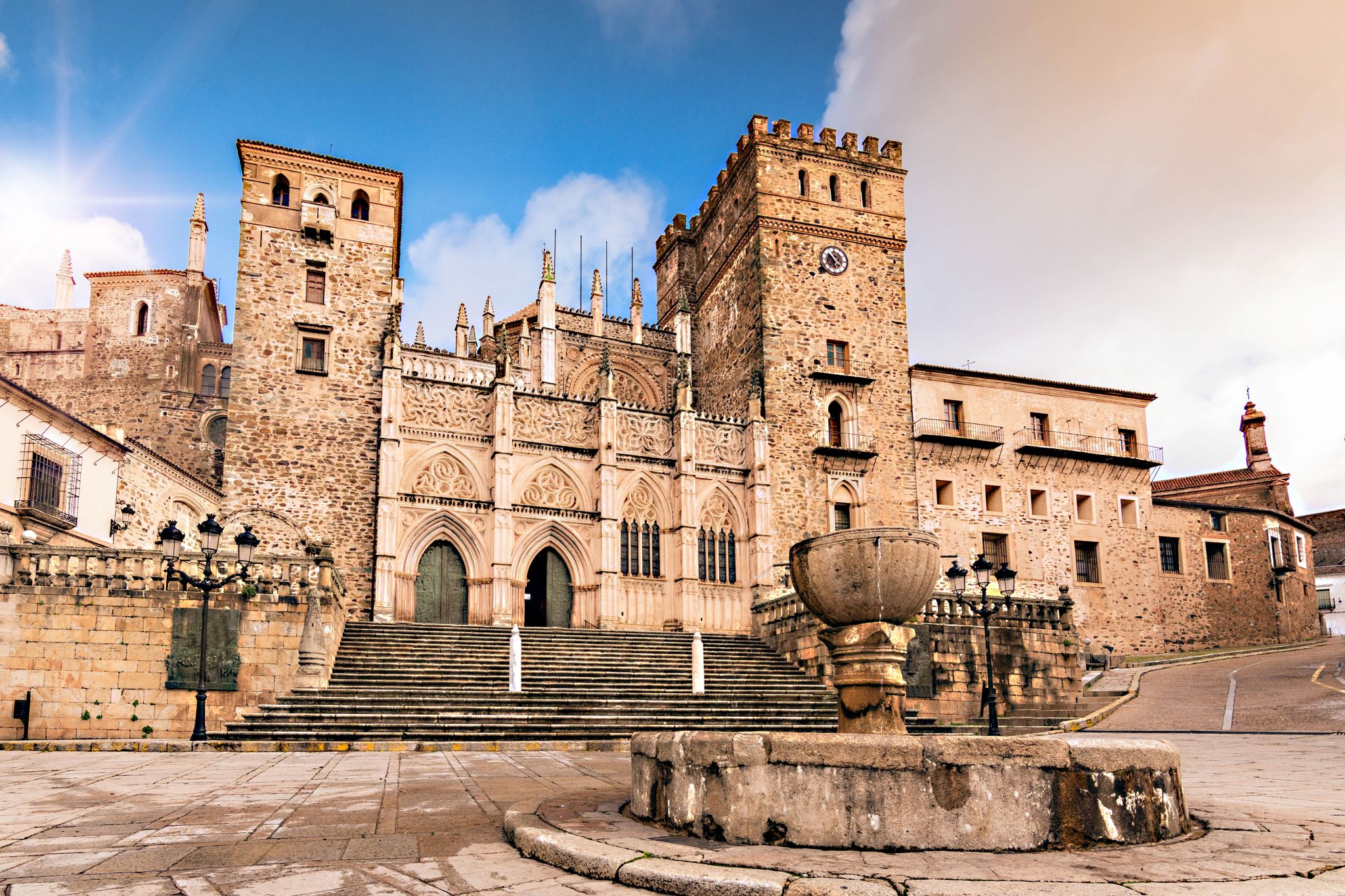
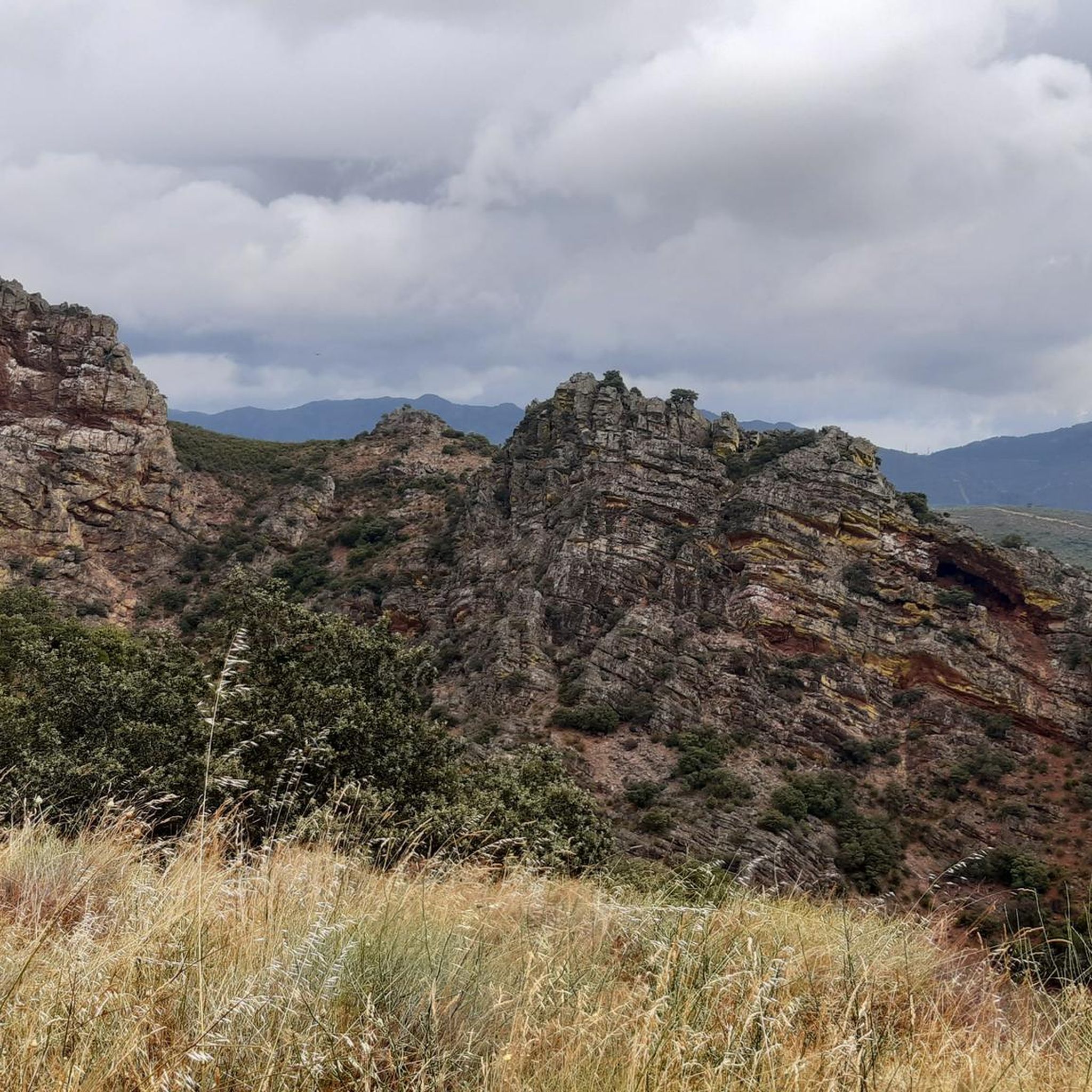
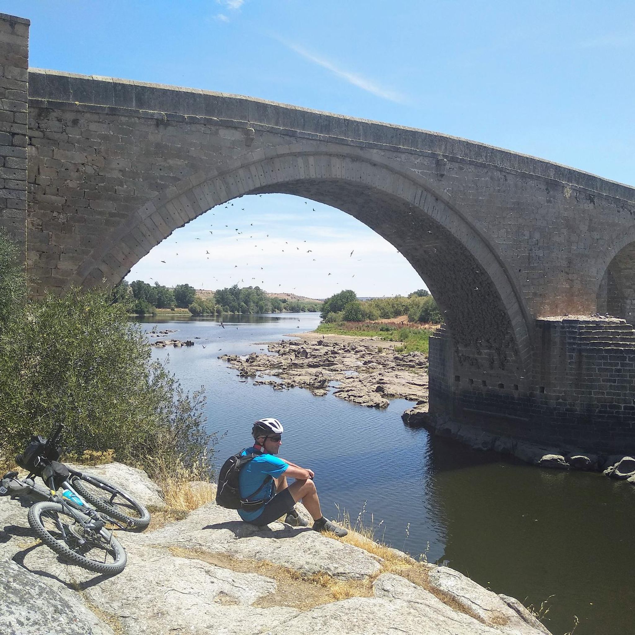


Tips from the Community

The so-called Alto or Puerto de la Palomera is a mountain pass located in the comarca of Las Villuercas, near the municipality of Alía (judicial district of Logrosán). It is a saddle or mountain pass in the Sierra de la Palomera,
2
0

At an altitude of 1,081 meters, it is located between the towns of Guadalupe and Cañamero, and is part of the Villuercas-Ibores-Jara UNESCO Global Geopark, recognized for its unique geology and biodiversity. From its summit, you can enjoy impressive panoramic views encompassing the Guadalupe and Viejas River valleys, as well as the mountainous formations characteristic of the region's Appalachian terrain. On clear days, you can see the imposing Sierra de Gredos to the north. Pico Agudo can be accessed via hiking trails that depart from Guadalupe, such as the one that follows part of the historic Isabel la Católica Trail.
0
1

Nice climb in the Guadalupe area with beautiful views but very hard
0
1

With 21 kilometers and just over 1,100 meters of accumulated elevation gain, this beautiful and long climb is quite easy until reaching kilometer 16, where it begins to steepen and reaches an incline of 16%. The views from the summit alone are worth the effort.
0
0

Top of the palomera with incredible views 😍
0
1

On clear days you can see the entire Geopark. sunsets are fantastic
0
1

Spectacular views upon reaching the top of the Villuercas peak. The climb is long and hard, so be prepared. 11km at 6% average slope reaching 1543 masl.
1
1

Frequently Asked Questions
What are the most rewarding mountain peaks for panoramic views near Villar del Pedroso?
For breathtaking panoramic views, Pico Villuercas Summit is highly recommended. From its top, you can see the entire Villuercas-Ibores-Jara Geopark and even Monfragüe National Park on clear days. Another excellent option is Pico Agudo, which offers impressive vistas of the Guadalupe and Viejas River valleys, and the Sierra de Gredos to the north.
How challenging are the climbs to the main peaks around Villar del Pedroso?
The ascent to Pico Villuercas Summit is considered challenging, with routes like the one from Guadalupe featuring steep sections with inclines of nearly 15%. It's a long and strenuous climb, often averaging 6% over 11 kilometers. Pico Agudo is generally an intermediate climb, accessible via hiking trails from Guadalupe.
What unique natural features can I explore in the mountains around Villar del Pedroso?
Beyond the peaks, the region is part of the UNESCO Global Geopark Villuercas-Ibores-Jara, known for its diverse landscapes and unique geology. The Desfiladero del Pedroso (Pedroso Gorge) near Villar del Pedroso is a significant site, featuring rapids, waterfalls, and 'giant's kettles' formed by the Pedroso stream. You can also observe curious erosive forms of 'berrocal' (blocky terrain), including 'mushroom stones' and 'horse stones'.
What is the best time of year to hike the mountain peaks near Villar del Pedroso?
Spring and autumn are generally the best seasons for hiking in this region. The weather is milder, and the landscapes are vibrant. Summer can be very hot, making long ascents more challenging, while winter might bring colder temperatures and potentially snow at higher elevations, especially on peaks like Pico Villuercas.
Are there specific hiking routes to reach the main peaks?
Yes, there are several routes. For Pico Villuercas Summit, popular ascents include those via Guadalupe and Navezuelas. Pico Agudo can be accessed via hiking trails that depart from Guadalupe, including a section of the historic Camino de Isabel la Católica.
What outdoor activities can I do near these mountain peaks?
The area around Villar del Pedroso offers a variety of outdoor activities. You can find numerous routes for cycling, including challenging climbs to peaks like Pico Villuercas, and mountain biking trails. For hikers, there are options ranging from easy loops like the Guadalupe Monastery and Viaduct Loop to more moderate trails such as the Fábrica de la Luz Trail. Explore more options in the hiking guide, cycling guide, and MTB trails guide for the region.
Are there family-friendly options for exploring the mountains around Villar del Pedroso?
While some peaks offer challenging ascents, there are easier trails suitable for families. For instance, the Guadalupe Monastery and Viaduct Loop is an easy hiking route. When planning, look for trails marked as 'easy' or 'moderate' in the hiking guide, which often have less elevation gain and shorter distances.
Can I bring my dog on the trails around Villar del Pedroso's peaks?
Many trails in natural areas are dog-friendly, but it's always advisable to keep your dog on a leash, especially in areas with wildlife or livestock. Be sure to check for any specific local regulations or protected areas that might have restrictions before you go.
Where can I find parking for mountain trails near Villar del Pedroso?
Many popular trailheads, especially those leading to peaks like Pico Villuercas Summit and Pico Agudo, often start from towns like Guadalupe. Parking facilities are typically available in these starting points, though it's recommended to arrive early during peak seasons.
Are there any historical or cultural sites near the mountain peaks?
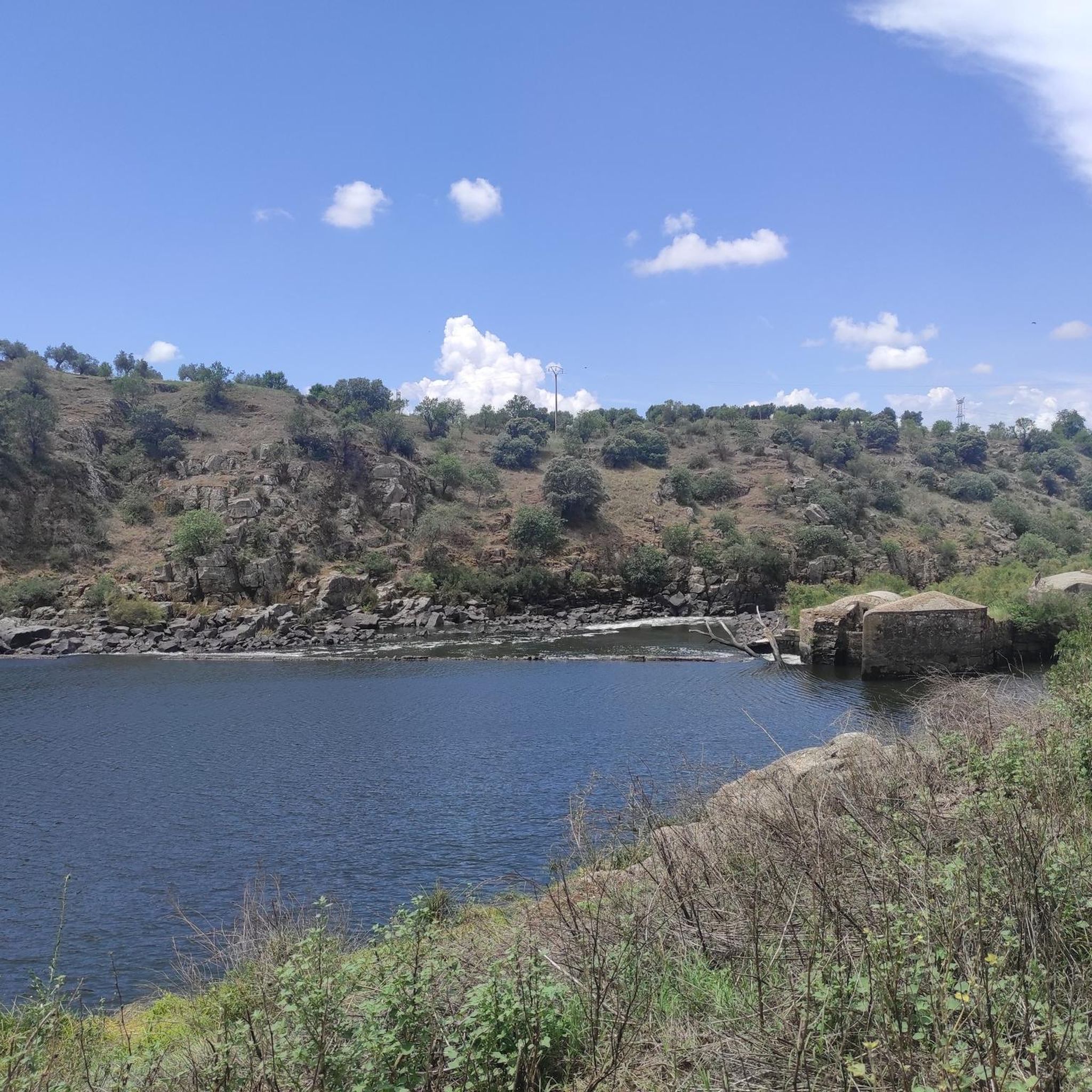
Yes, the region is rich in history. Near the Desfiladero del Pedroso, you can find the ruins of old mills and the impressive Fort of Castros, a 10th-century Muslim fortress. In Villar del Pedroso itself, pre-Roman zoomorphic sculptures ('verracos') by the Vetton people and Roman inscriptions offer a glimpse into the area's ancient past.
What do visitors enjoy most about the views from Pico Villuercas?
Visitors consistently praise the spectacular 360º panoramic views from Pico Villuercas Summit. Many highlight the reward of seeing the entire Villuercas-Ibores Geopark spread out below, and on clear days, the distant Monfragüe National Park, making the challenging ascent well worth the effort.
Most popular routes around Villar Del Pedroso
Most popular attractions around Villar Del Pedroso

Get inspired with the komoot mobile app


