The 13 Most Amazing Peaks around Oliva
Best mountain peaks around Oliva, a municipality in the Valencian Community of Spain, offer a blend of coastal and mountainous landscapes. This region is a destination for hikers and nature enthusiasts, featuring several notable mountain peaks that provide panoramic views and opportunities for outdoor exploration. The diverse terrain includes both Mediterranean coastline and surrounding agricultural plains.
Best mountain peaks around Oliva
- The most popular mountain peaks is Penya Foradà, a natural monument that is an icon of the Vall…
Last updated: August 28, 2026
Penya Foradà
Highlight • Natural Monument
Translated by Google •
Tip by

Summit of Sierra de Segària
Highlight • Summit
Translated by Google •
Tip by
Sign up now to discover places like this
Get recommendations on the best single tracks, peaks, & plenty of other exciting outdoor places.
Sign up for free
Penya Roja Summit
Highlight • Summit
Translated by Google •
Tip by

Cave of the Skulls
Highlight • Cave
Translated by Google •
Tip by

Antennas on the Serra de Segària
Highlight • Monument
Translated by Google •
Tip by

Sign up for free to discover even more peaks around Oliva.
Sign up for free
Already have an account?
Start today with a free account
Your next adventure awaits.
Login or Signup
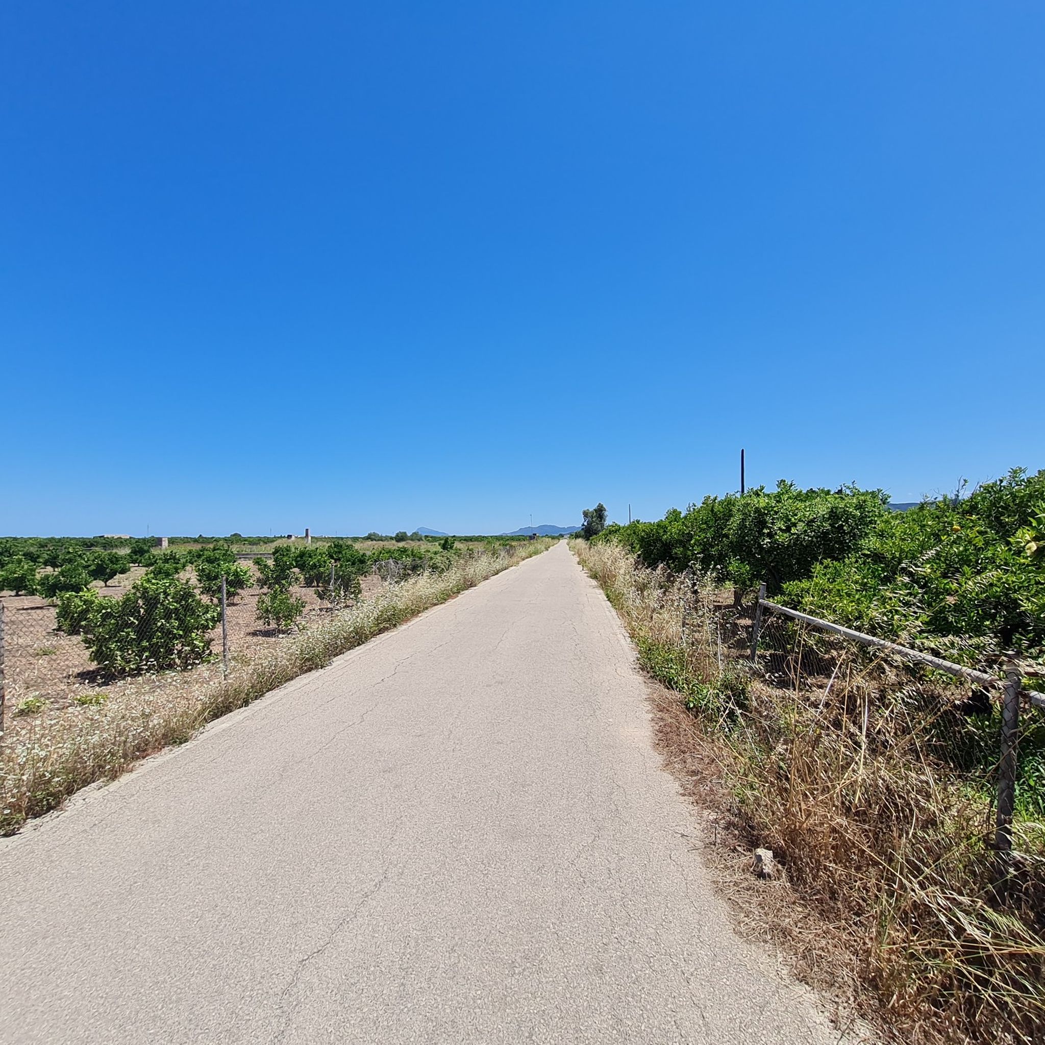
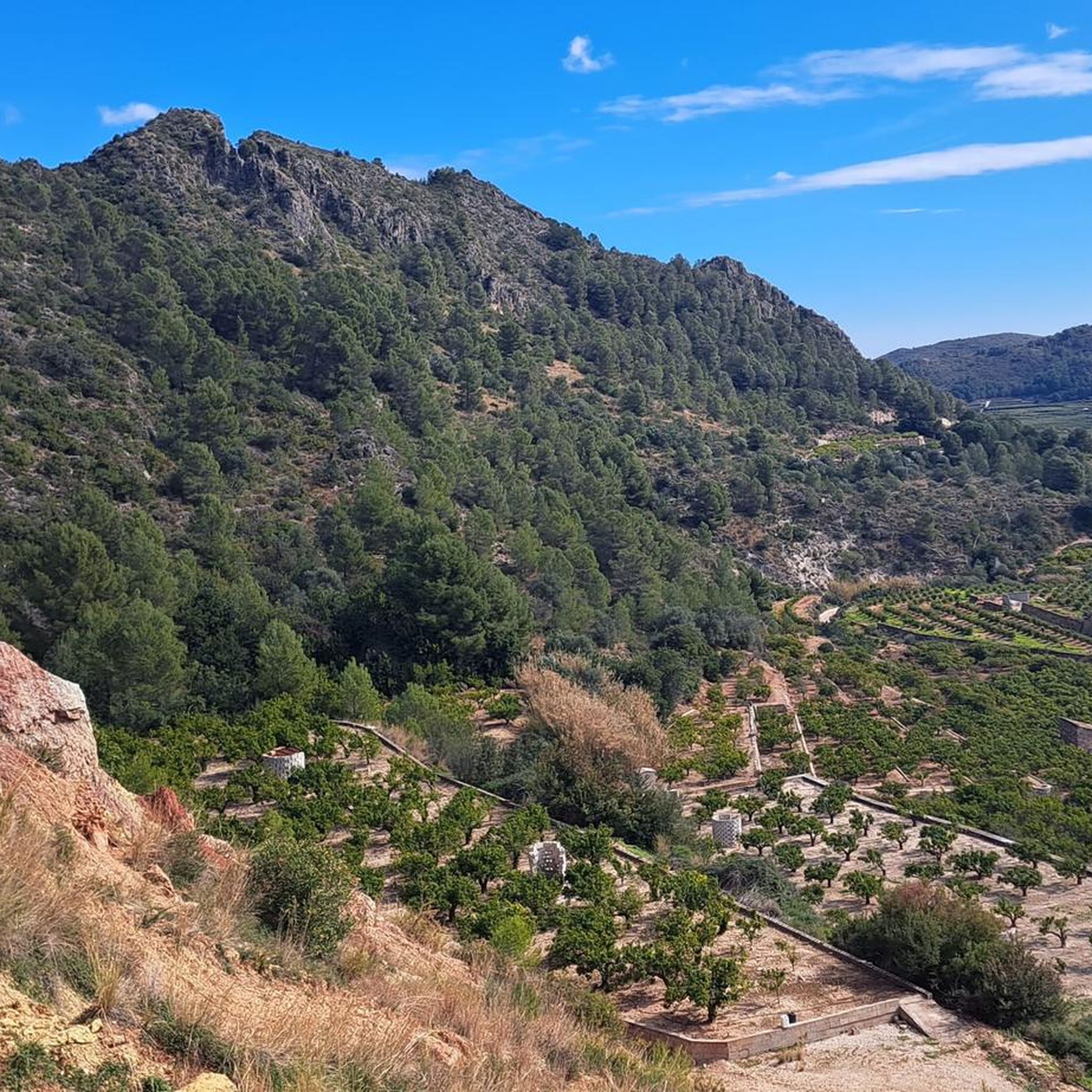
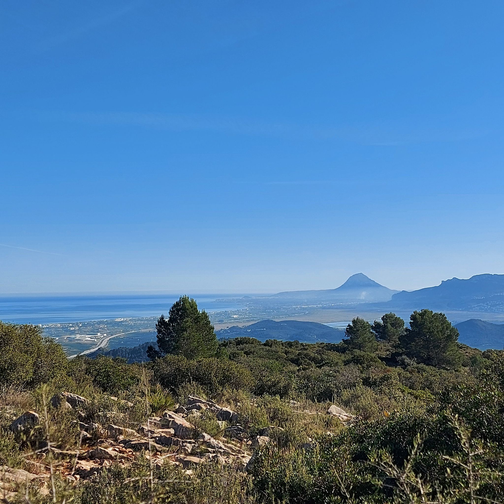

Tips from the Community

The descent from returns the same way back to the Portet d'Ondara. I made the descent eastwards to the old aqueduct path. This is significantly more demanding compared to the ascent via the west side. Slopes/descents of up to approx. 40% are present. The vegetation and the poorly visible yellow trail marking often cause you to pause and look around. Stone towers and GPS help with orientation. Overall, however, progress is slow. The signpost at the bottom of the aqueduct path already gives a hint: 1:10h for approx. 800m of path to the Portet d'Ondara.
0
0
The view is worth it. However, in the summer months (when it gets over 30 degrees) it is recommended to ascend only early in the morning, so that you descend again by 11 am. I ascended from the west side (in the shade in the morning). Up to Portet d'Ondara the path is still reasonably recognizable. From there to the summit "Cim de Segària" the path and terrain are difficult to recognize and require sure-footedness. Sturdy mountain boots are helpful due to the rugged terrain and sharp stones. It is also possible with trail running shoes, but they suffer greatly. Up to the summit, you often have to search for the path or yellow markings, which are also completely missing in places. According to the maps, the path is classified as T2 (SAC scale). Due to the poor visibility of the path, rugged and sharp stones, I would tend towards at least T3. In some places, you also have to climb over a few larger stones or make bigger jumps.
0
0

There are magnificent views. It's worth the climb. You can also get there by car.
0
0

Beautiful, but a bit more challenging than indicated. Some trails are overgrown, and the descent at the end is not for those with a fear of heights.
0
0
a truly beautiful walk, quite challenging but worth it!
0
1

The start of the climb is demanding and gradually becomes easier. A rocky climb with ruts. A slight descent on stones, an accessible path and a descent on a well-paved road.
1
0

It was a real adventure tour, since it was a combination between riding the bike and hiking (carrying up the bike …🤣🤣🤣👍🐐)
1
0
Fist part of the route ist most difficult but exiting ones. Very spectacular 360 grad view from the top …👍👍💪
0
1
Frequently Asked Questions
What are some of the most notable mountain peaks and ranges around Oliva?
Oliva is surrounded by several interesting elevated areas. The Penya Foradà is a natural monument known for its unique arch shape. The Serra de Mostalla offers trails with views of the Marjal de Pego-Oliva Natural Park. For higher elevations, Cim de la Safor (1,013 m) provides expansive vistas, and the prominent Mondúver massif, though further afield, is a significant peak in the wider region.
What kind of views can I expect from the mountain peaks near Oliva?
From the peaks around Oliva, you can expect diverse and magnificent views. For instance, Antennas on the Serra de Segària offers panoramic views over the coast and the valley. From Cim de la Safor, you can see the La Safor and Marina Alta areas, including towns like Gandia and Oliva. The Puig del Frare, considered the highest point in Oliva's immediate vicinity, also provides rewarding vistas of the La Safor and La Marina districts.
Are there family-friendly mountain walks around Oliva?
Yes, there are options suitable for families. The Penya Foradà can be visited with children, with several routes leading up to it. Additionally, the Cave of the Skulls is an ideal place to visit with children, especially in summer due to its cool temperature.
What unique natural features can I explore near Oliva's peaks?
Beyond the stunning views, you can explore unique natural features. The Penya Foradà is famous for its natural arch, where twice a year the sun aligns perfectly. The Cave of the Skulls is one of the oldest caves in the Valencian Community, offering a journey back in time. The Mondúver massif, though not directly in Oliva, is known for its powerful karst formations and the Cueva del Parpalló, an important prehistoric site.
What outdoor activities can I do near these mountain peaks?
The region around Oliva offers a variety of outdoor activities. You can find numerous hiking trails, including the 'Views from the trail – Covatelles Summit loop from Oliva' which is a moderate 10.9 km hike. For cycling enthusiasts, there are road cycling routes like the 'Pego–Sagra Road – View of the Sierra de Segària loop from Oliva', and challenging MTB trails such as the 'Forna Church – Castell de Forna loop from Oliva'. You can explore more options on the Hiking around Oliva, Road Cycling Routes around Oliva, and MTB Trails around Oliva guide pages.
Are there hiking trails for different fitness levels around Oliva?
Yes, the area caters to various fitness levels. For those seeking a challenge, the climb to Cim de la Safor is steep but rewarding. The 'Views from the trail – Covatelles Summit loop from Oliva' is a moderate hike requiring good fitness. For easier options, the 'Font Salada – Views of the Bullent River loop from Desembocadura del Riu del Vedat' is an easy 5.8 km hike.
When is the best time to hike in the Oliva region?
The Oliva region is generally pleasant for hiking for much of the year. While any time is good to visit the Cave of the Skulls, with summer being ideal due to its cool temperature, spring and autumn typically offer the most comfortable weather for outdoor activities on the peaks, avoiding the intense heat of summer and potential chill of winter.
What do visitors enjoy most about the mountain peaks around Oliva?
Visitors particularly enjoy the stunning panoramic views from the summits, such as those from Antennas on the Serra de Segària and Cim de la Safor. The unique geological formations like the arch of Penya Foradà and the historical significance of the Cave of the Skulls are also highly appreciated. Many find the challenging climbs rewarding, leading to breathtaking vistas.
Are there any historical or cultural sites near the mountain peaks?
Yes, the region offers historical insights. The Cave of the Skulls is a significant historical site, being one of the oldest caves in the Valencian Community and offering a glimpse into how ancient ancestors lived. The Mondúver massif, while not directly in Oliva, is home to the Cueva del Parpalló, an important prehistoric site, and is part of the Route of the Monasteries of Valencia, indicating broader historical connections in the area.
Can I find dog-friendly hiking options in the Oliva region?
While specific data on dog-friendly trails is not provided, many natural outdoor areas in Spain are generally welcoming to dogs, especially on leash. It's always advisable to check local regulations or specific trail information before heading out with your pet, but the numerous hiking trails around Oliva offer ample opportunities for walks with your dog.
What is the Serra de Mostalla, and what does it offer?
The Serra de Mostalla is a mountain range forming part of a mountainous horseshoe around the Marjal de Pego-Oliva Natural Park. Its highest point is the Creu de Mostalla (359 meters). Hiking trails in this range, such as a 10 km circular route from Pego, offer splendid views of Oliva, the Marjal de Pego-Oliva, the sea, Segària, and Montgó. It's known for its diverse terrain and the striking contrast between mountainous landscapes and coastal wetlands.
Most popular attractions around Oliva

Get inspired with the komoot mobile app


Explore more
See even more amazing summits around Oliva with these guides:
