The 7 Most Amazing Peaks around La Oliva
Best mountain peaks around La Oliva are found in the northern part of Fuerteventura, a region characterized by its distinctive volcanic landscape. These peaks offer opportunities for hiking and nature observation. The municipality features several impressive mountain peaks, each with unique geological and historical features. Exploring these summits provides insight into Fuerteventura's natural environment.
Best mountain peaks around La Oliva
- The most popular mountain peaks is La Caldera Mountain (Los Lobos), a volcano that is the highest point on…
Last updated: August 28, 2026
Bayuyo Summit
Highlight • Summit
Translated by Google •
Tip by

Caldera Mountain Ascent
Highlight • Volcano
Translated by Google •
Tip by

Sign up now to discover places like this
Get recommendations on the best single tracks, peaks, & plenty of other exciting outdoor places.
Sign up for free
Montaña Roja
Highlight • Volcano
Translated by Google •
Tip by

Montaña de Tindaya
Highlight • Summit
Translated by Google •
Tip by

View of Volcanes de Bayuyo and Corralejo
Highlight (Segment) • Viewpoint
More information: de.wikipedia.org/wiki/Volcanes_de_Bayuyo
Translated by Google •
Tip by

Sign up for free to discover even more peaks around La Oliva.
Sign up for free
Already have an account?
Start today with a free account
Your next adventure awaits.
Login or Signup
Popular around La Oliva
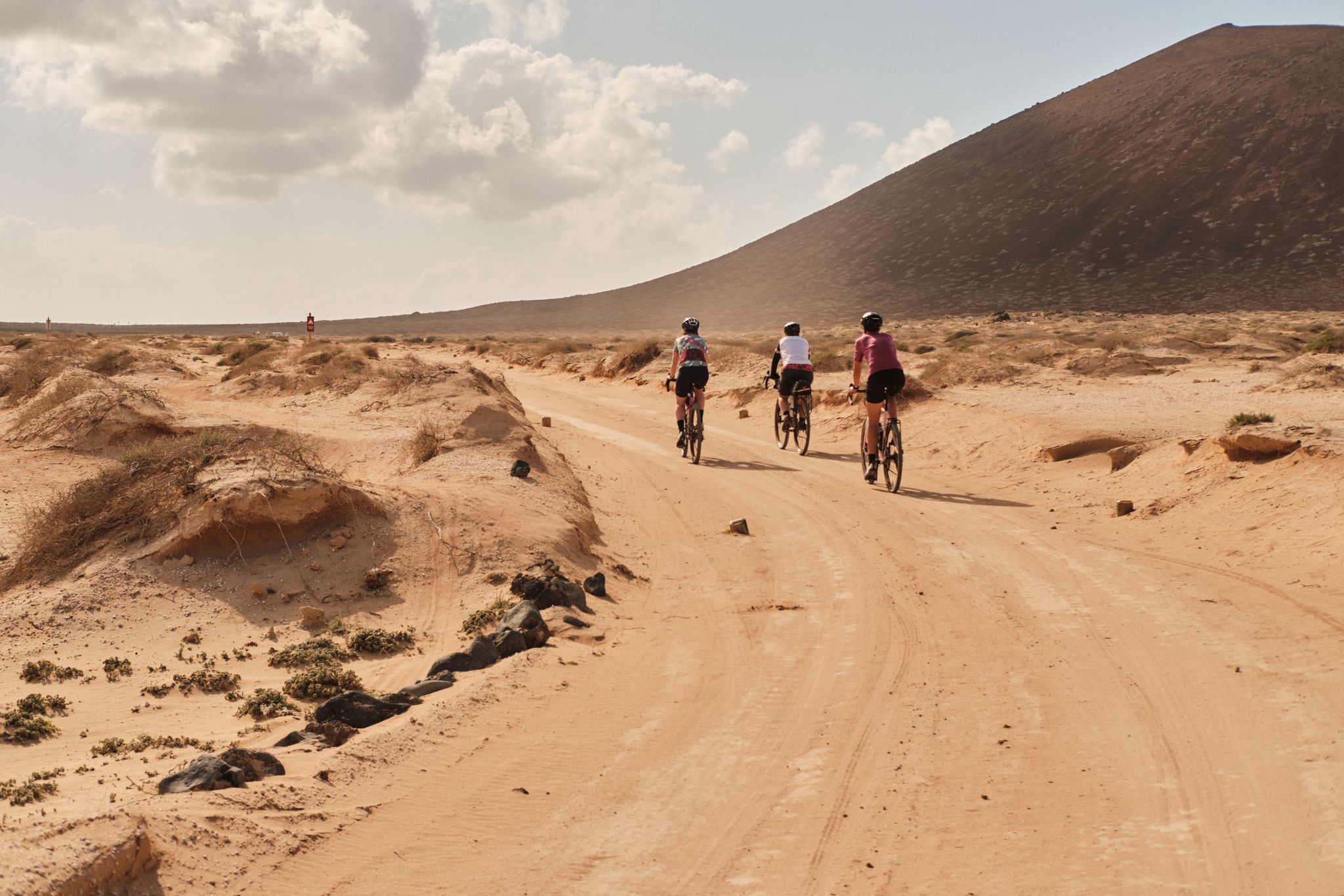
GranGuanche gravel – Komoot women's rally 2023
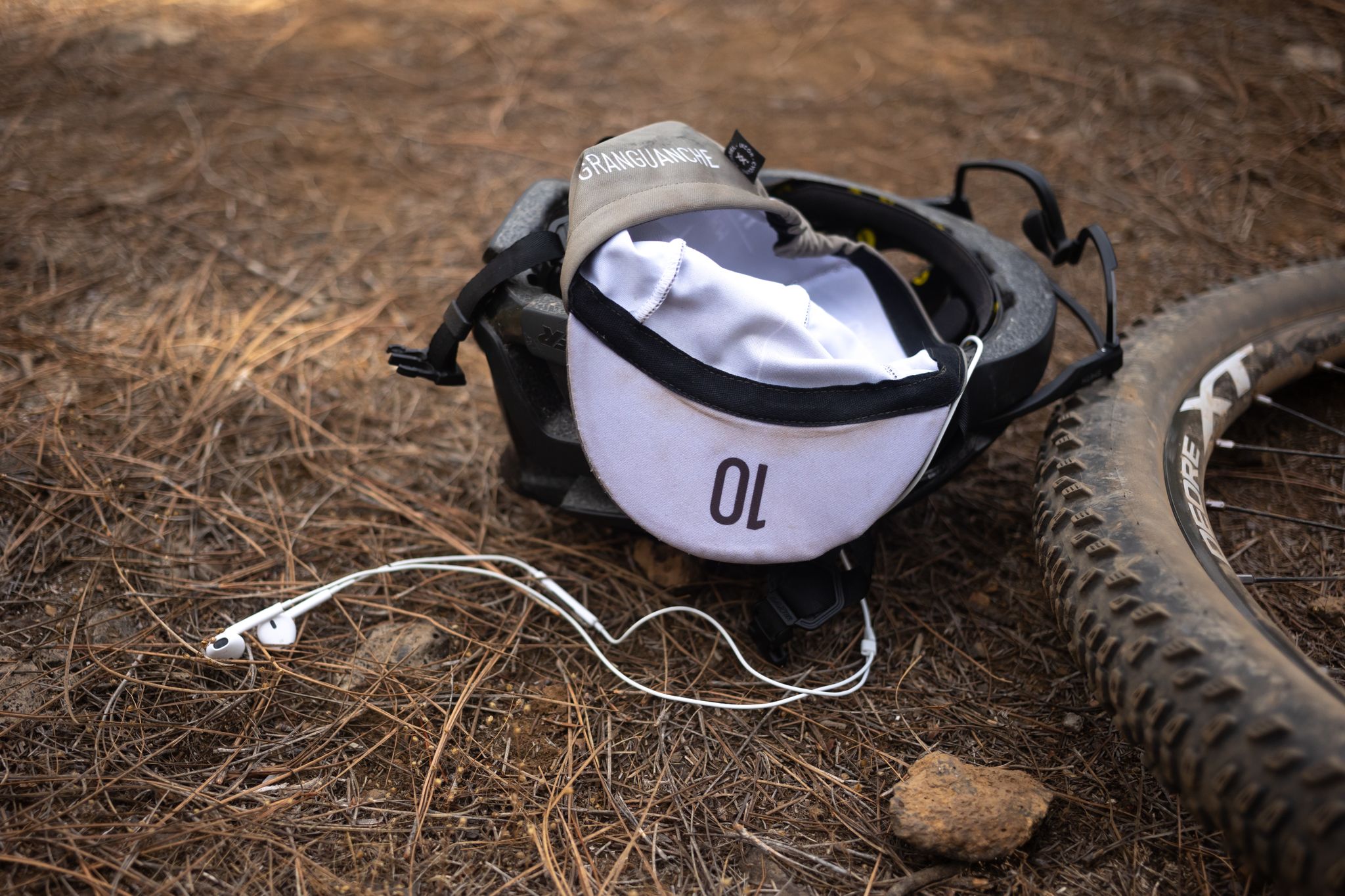
GranGuanche Audax Trail – my first ultra race on the Canary Islands
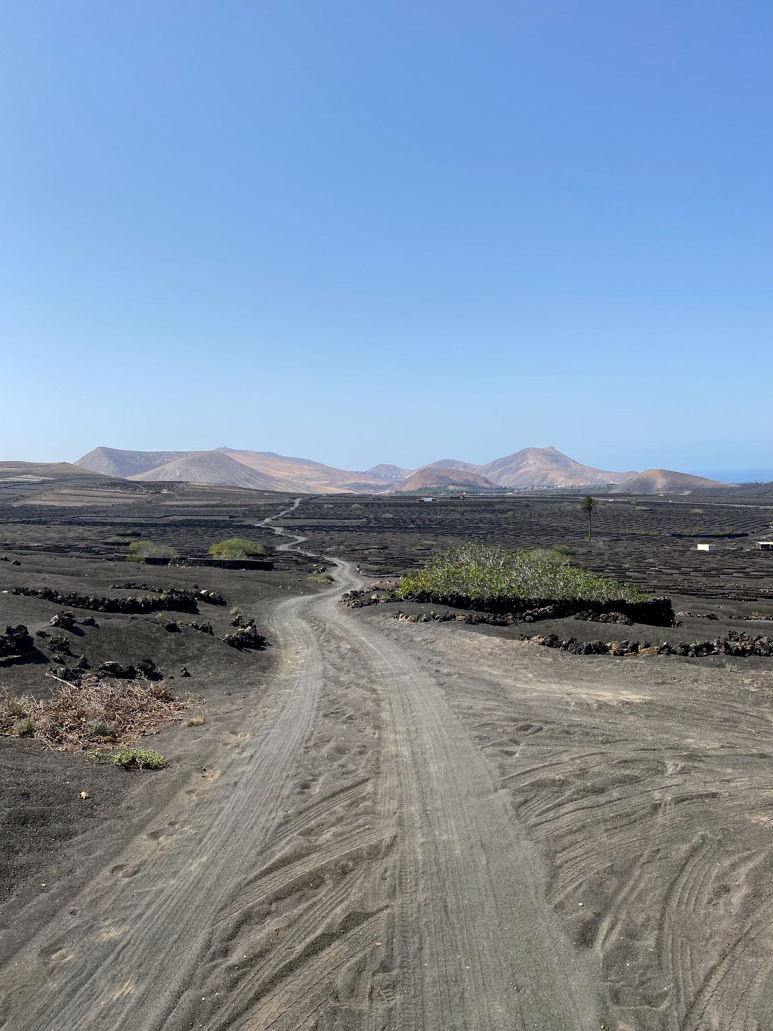
Bikepack in the Canary Islands – surprising adventures in the sun
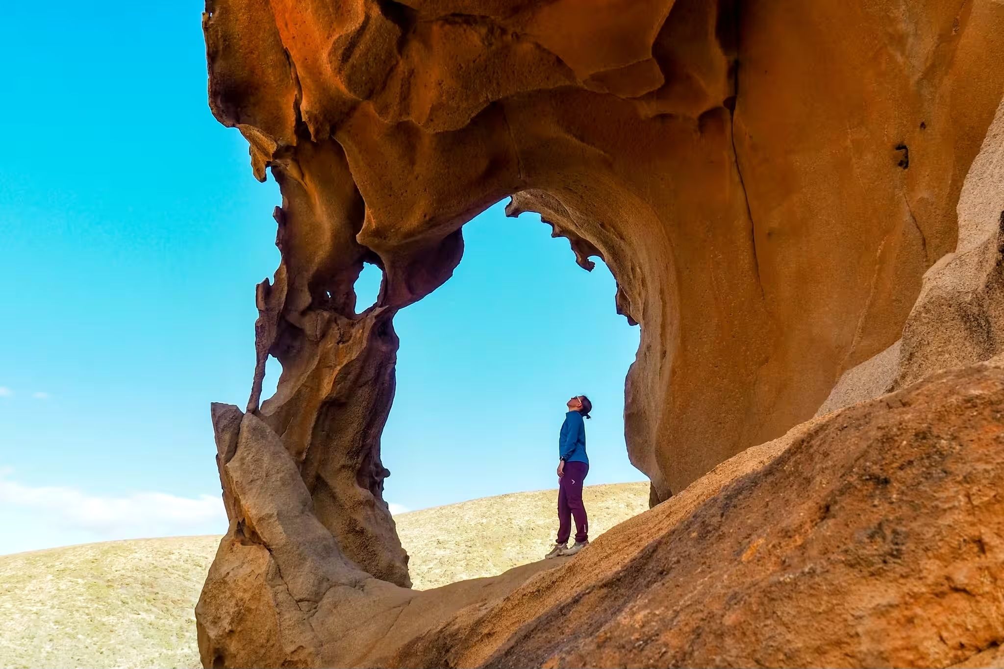
Canary Islands at a slow pace – six hikes immersed in nature
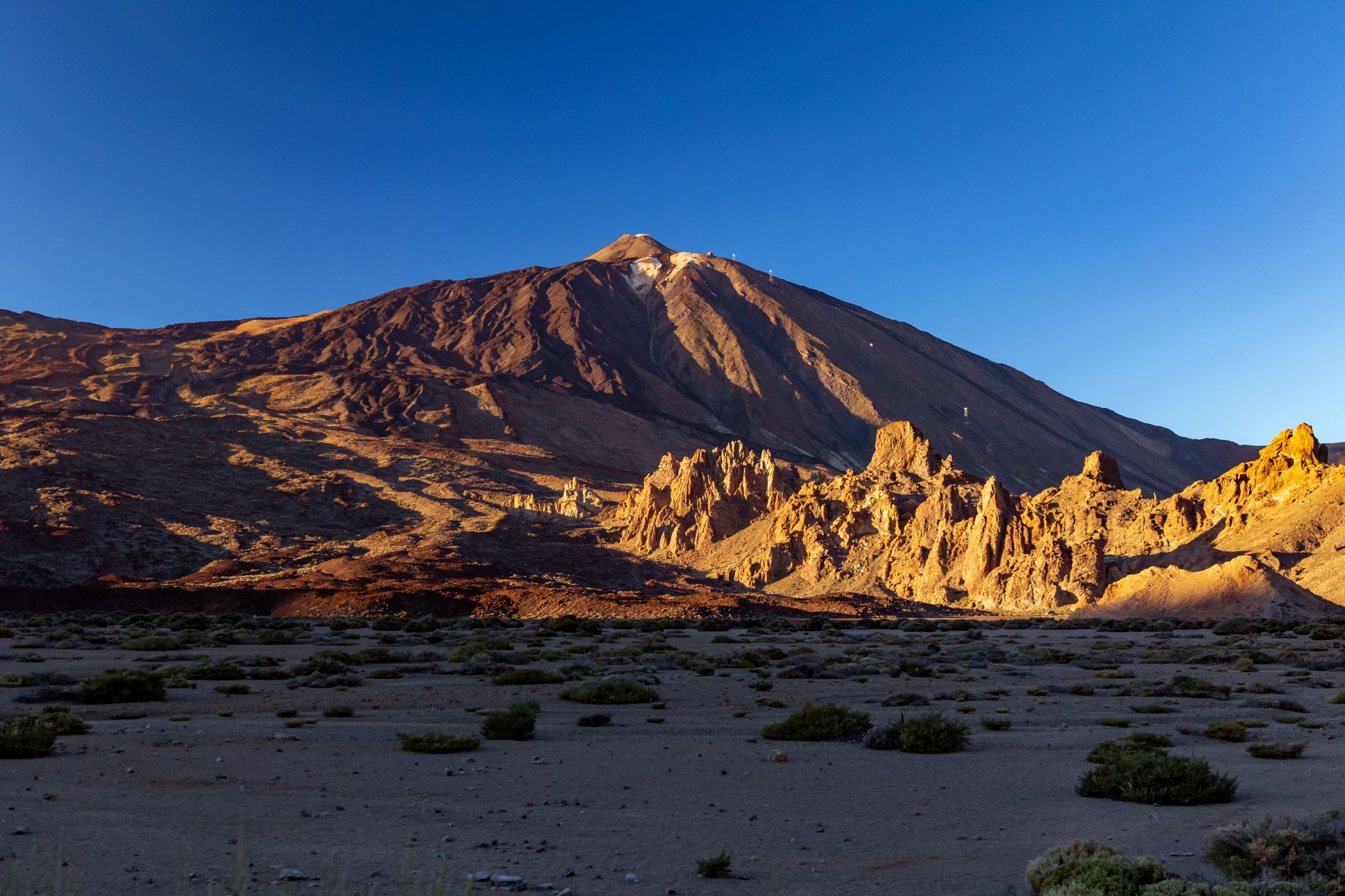
Six fascinating ways to discover the Canary Islands on foot
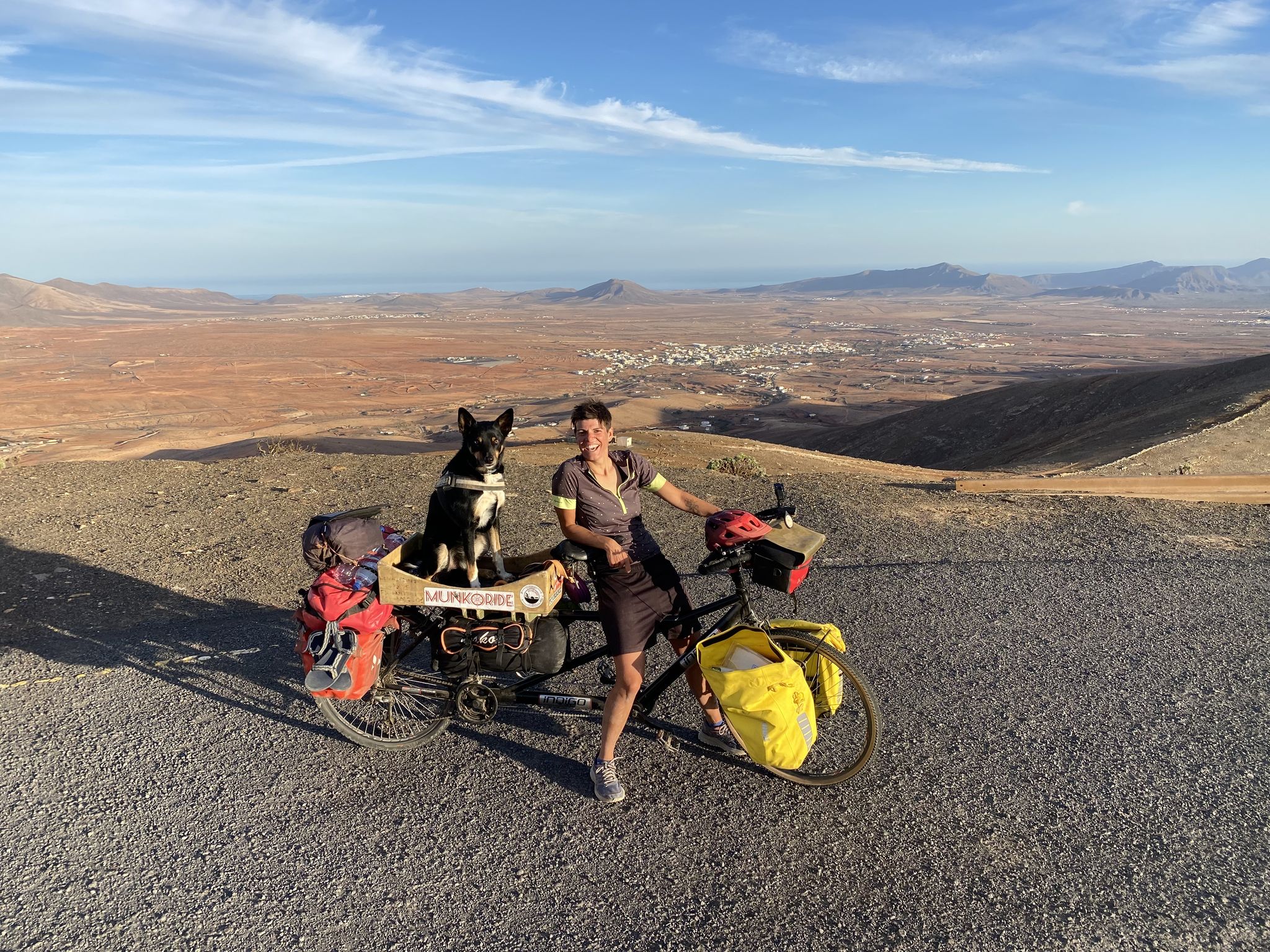
A lunar expedition – Fuerteventura on wheels
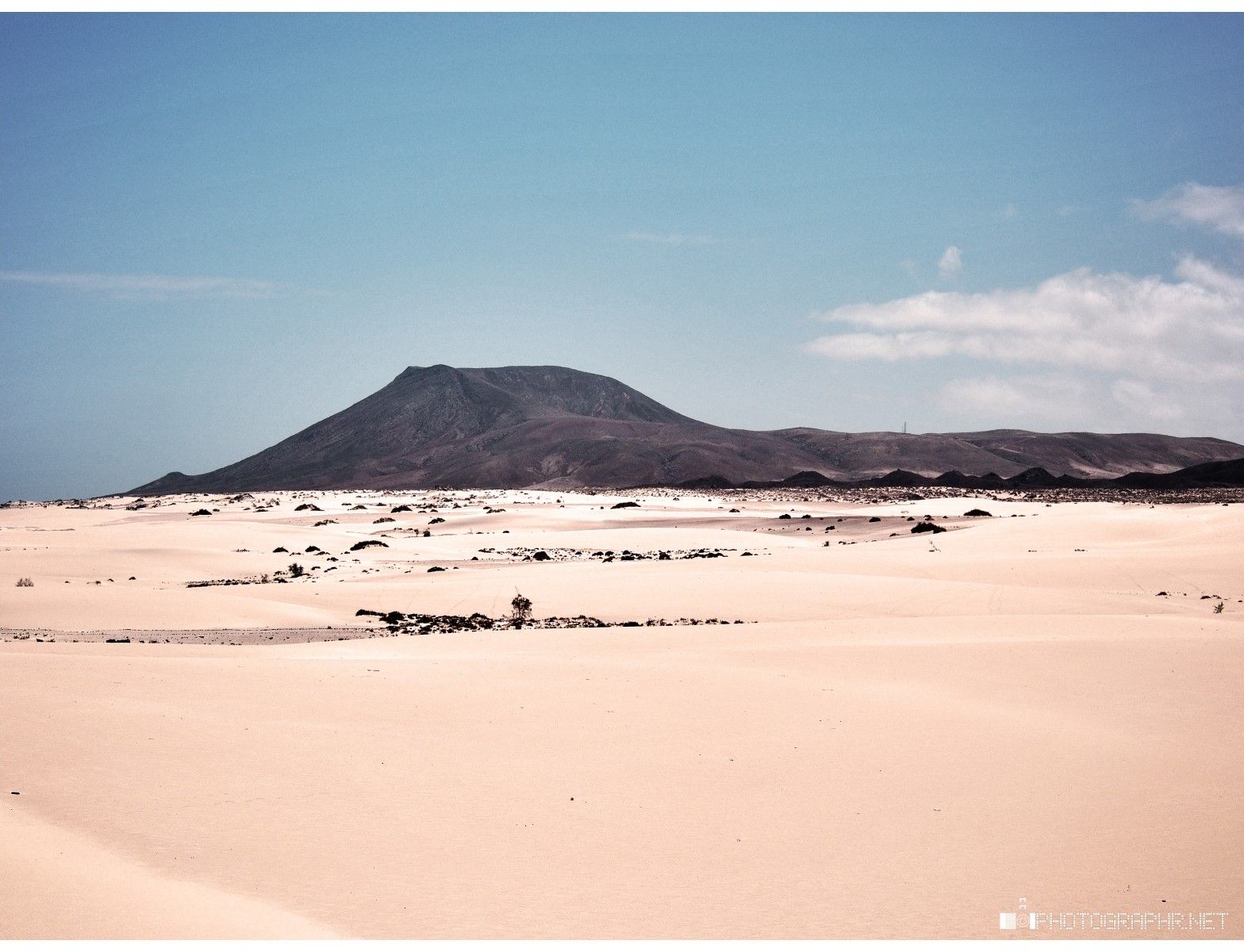
Land of sand and sea – Fuerteventura Nature Trail (GR 131)
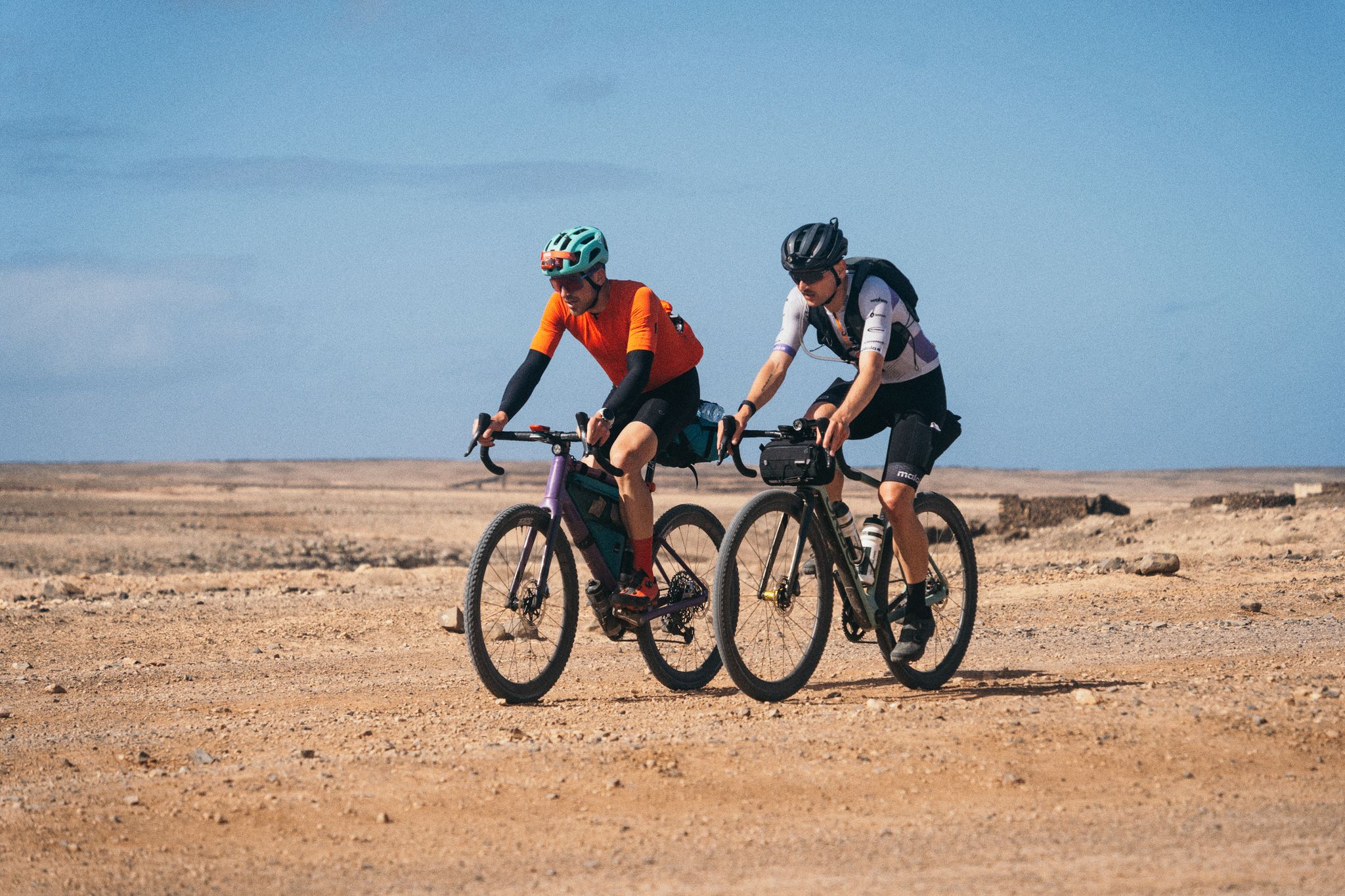
GranGuanche Audax Gravel — five islands in two and a half days
Hiking around La Oliva
Running Trails around La Oliva
Other adventures around La Oliva


Tips from the Community

Sturdy footwear should be available, and you should also remember that the wind on the path, and especially at the summit, is stronger than down below. Have fun and good luck, a panoramic view awaits you at the top ☝️
2
0

As well as being fairly steep and loose, there is a sign at the base of the North-East ascent indicating that the path is closed from mid-February to July (I think) as its a bird nesting area.
0
0

Easy climb. Quite windy in places. Not really possible on a windy day with small children. But fantastic views of Corralejo and Lanzarote.
0
0

Fantastic views of countless volcanic craters in the interior. That's how I imagine it on Mars. From 12 noon onwards it gets unbearably hot up there. That's why it's advisable to start the hike very early. Make sure you take enough drinking water with you!
0
0

A really nice isolated mountain/hill. Summiting at 312 metres, it not quite an Everest, but starting from sea level allows a good elevation gain. Getting near the mountain by public transport is tricky, A hike all the way from Corralejo is doable (as I did), but that's a long trip.
0
0

Montaña Roja (312 m) is located on the southern limit of the Corralejo Natural Park (of the dunes) and very close to the Holandés Park and El Jablito. Its crater is 460 meters wide and is open to the north. From the top you will have wonderful views of the dunes of Corralejo. Its name comes from the different shades of red that the mountain presents.
2
0

Fantastic views, the climb is easy enough, very well marked. Care when descending as there are some loose rocks
2
0
From the summit of the Vilcano de Bayuyo you have a fantastic view of Corralejo and the two islands of Lobos and Lanzarote. But you can also see El Cotillo and the Faro del Toston, as well as the dunes of the Corralejo National Park. However, the ascent via the "Corralejo side" is only recommended for sure-footed people and sturdy shoes are also recommended, especially for the descent. The lava rock is very loose and therefore very slippery.
5
0
Frequently Asked Questions
What are some of the most popular mountain peaks to visit around La Oliva?
Among the most popular peaks, you'll find La Caldera Mountain (Los Lobos), which is the highest point on the islet of Lobos, offering spectacular views. Another favorite is Bayuyo Summit, known for its panoramic vistas of Corralejo, Isla de Lobos, and Lanzarote. Montaña Roja also provides wonderful views of the Corralejo Natural Park dunes.
Are there any mountain peaks with historical significance in the La Oliva region?
Yes, Montaña de Tindaya is often referred to as a "sacred mountain." It stands at 400 meters and is adorned with ancient petroglyphs, holding significant archaeological and cultural value. While the ascent has been closed due to falling rocks, its historical importance and panoramic views across northern Fuerteventura are still notable.
Which mountain peaks offer the best panoramic views of the surrounding islands and landscape?
For breathtaking panoramic views, consider Bayuyo Summit, which provides expansive vistas of Corralejo, Isla de Lobos, Lanzarote, and the Corralejo National Park dunes. La Caldera Mountain (Los Lobos) also offers truly spectacular views from its summit, encompassing the surrounding islands.
Are there any easy or family-friendly mountain walks around La Oliva?
Yes, the ascent to Bayuyo Summit is considered leisurely, making it suitable for a relaxed walk. While good footwear is still recommended due to gravelly paths, its relatively low height of 271m makes it accessible. Additionally, the Calderón Hondo - Lajares Trail is rated as easy and offers a unique experience exploring an extinct volcano.
What kind of geological features can I expect to see on the mountain peaks?
The region is characterized by its distinctive volcanic landscape. You can explore well-preserved craters, such as at Calderón Hondo, an extinct volcano near Lajares. Montaña Escanfraga, reaching 529 meters, is another crater with ancient grain cultivation areas. Many peaks, like Montaña Roja, are volcanic cones, showcasing the island's fiery past.
What outdoor activities can I do near the mountain peaks in La Oliva?
Beyond hiking to the summits, the area around La Oliva offers a variety of outdoor activities. You can find numerous MTB Trails, including loops around the Bayuyo Crater. There are also dedicated hiking routes like the Lobos loop and the Calderón Hondo trail. For those who enjoy gravel biking, there are several gravel biking routes that offer scenic views.
Are there any less crowded mountain peaks or trails for a quieter experience?
While popular peaks can attract visitors, exploring Montaña Escanfraga might offer a quieter experience. Its hike, following an old camel road, rewards visitors with astonishing views of Corralejo, Isla de Lobos, Lanzarote, and many other ancient volcanoes, extending to several villages and agricultural fields. It's a great option for those seeking solitude and expansive vistas.
What should I wear when hiking the mountains in Fuerteventura?
Given the often gravelly and loose lava rock terrain, sturdy shoes are highly recommended for most ascents and descents, especially on peaks like Bayuyo Summit and Montaña Roja. The weather can be warm and sunny, so light, breathable clothing, sun protection (hat, sunscreen), and plenty of water are essential.
Can I encounter wildlife while exploring the mountain peaks?
Yes, particularly around areas like Calderón Hondo, it's possible to encounter local wildlife. The volcanic landscapes, while seemingly barren, support various species adapted to the environment. Keep an eye out for birds and other small creatures that call these unique habitats home.
What makes La Caldera Mountain on Isla de Lobos a unique destination?
La Caldera Mountain is unique because it's located on the small, uninhabited islet of Isla de Lobos, just north of Fuerteventura. A visit typically involves a boat ride, making it a wonderful day trip that combines a volcano ascent with opportunities to discover serene lagoons (Lagunitas) and the charming Puertito, and even enjoy swimming.
Where can I find circular hiking routes around the mountain peaks?
For circular hiking routes, you can explore options within the Hiking around La Oliva guide. Examples include the "Lobos loop – Fuerteventura" and the "Isla de Lobos Circular Trail," both offering comprehensive exploration of the islet's features, including the ascent of La Caldera Mountain.
Most popular attractions around La Oliva

Get inspired with the komoot mobile app


Explore more
See even more amazing summits around La Oliva with these guides:
