The 6 Most Amazing Peaks around Santa Margarida I Els Monjos
Mountain peaks around Santa Margarida i Els Monjos are characterized by a blend of plains and elevated terrain, situated within the Alt Penedès region and bordering the Garraf massif. The area features elevated points rather than towering mountains, with the highest point reaching approximately 364 meters. These locations offer natural features and scenic viewpoints, particularly within the Parc del Foix. The region provides accessible natural beauty and opportunities for hiking trails Santa Margarida i Els Monjos.
Best mountain peaks around…
Last updated: July 4, 2026
Puig de l'Àliga
Highlight • Summit
Translated by Google •
Tip by

El Castellot
Highlight • Historical Site
Translated by Google •
Tip by

Sign up now to discover places like this
Get recommendations on the best single tracks, peaks, & plenty of other exciting outdoor places.
Sign up for free
Penya del Papiol
Highlight • Summit
Translated by Google •
Tip by

Fita dels Tres Termes
Highlight • Summit
Translated by Google •
Tip by

La Talaia Summit and Observation Tower
Highlight • Summit
Translated by Google •
Tip by
Sign up for free to discover even more peaks around Santa Margarida I Els Monjos.
Sign up for free
Already have an account?
Start today with a free account
Your next adventure awaits.
Login or Signup
Popular around Santa Margarida I Els Monjos
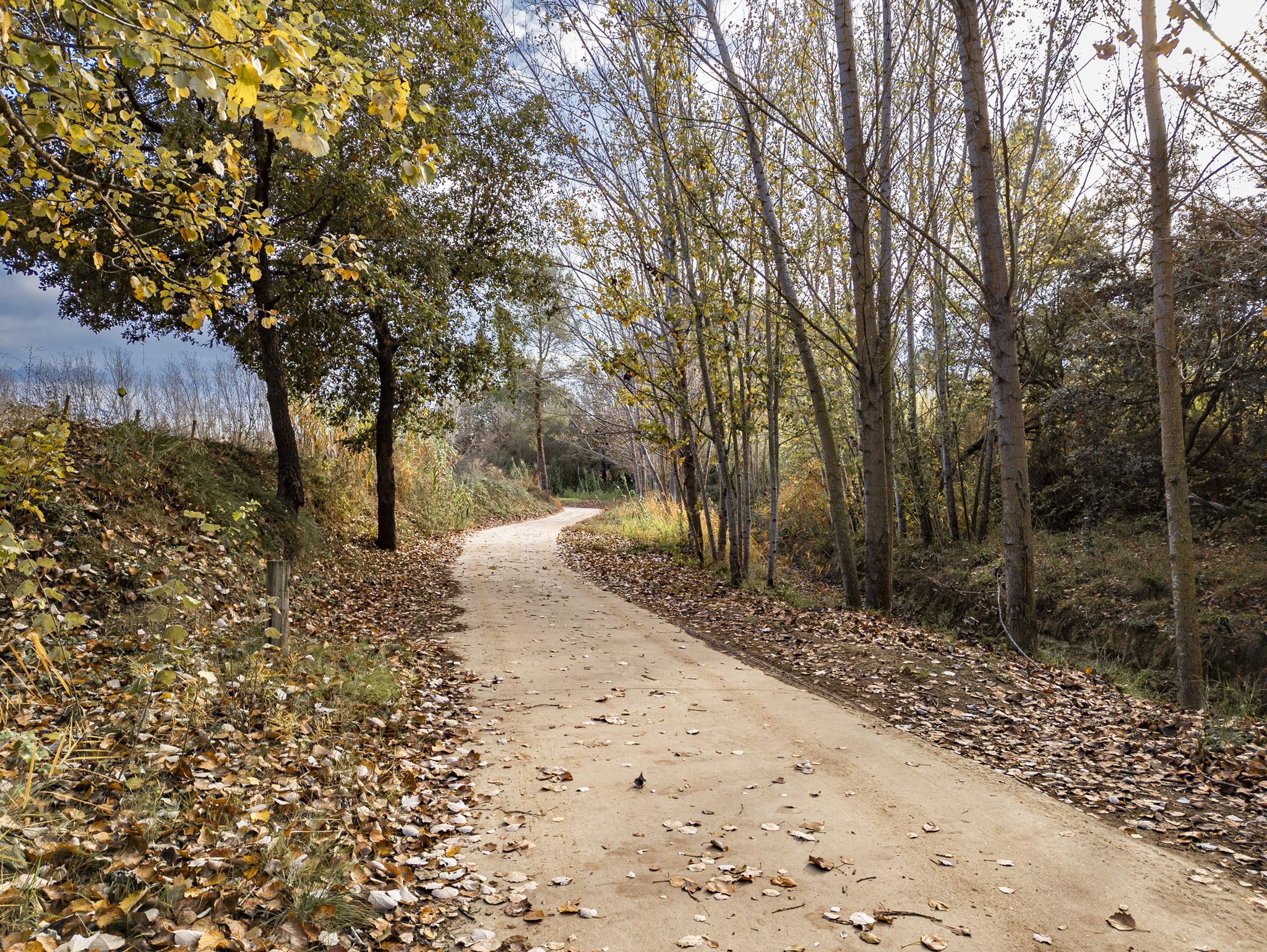
Roads, tracks and trails – Via Augusta Penedès
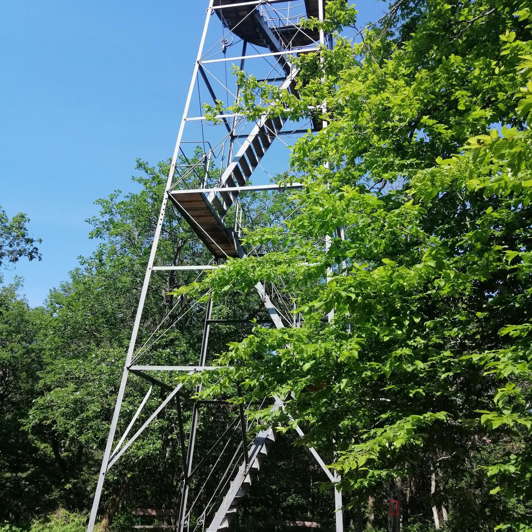
Gravel biking around Santa Margarida I Els Monjos
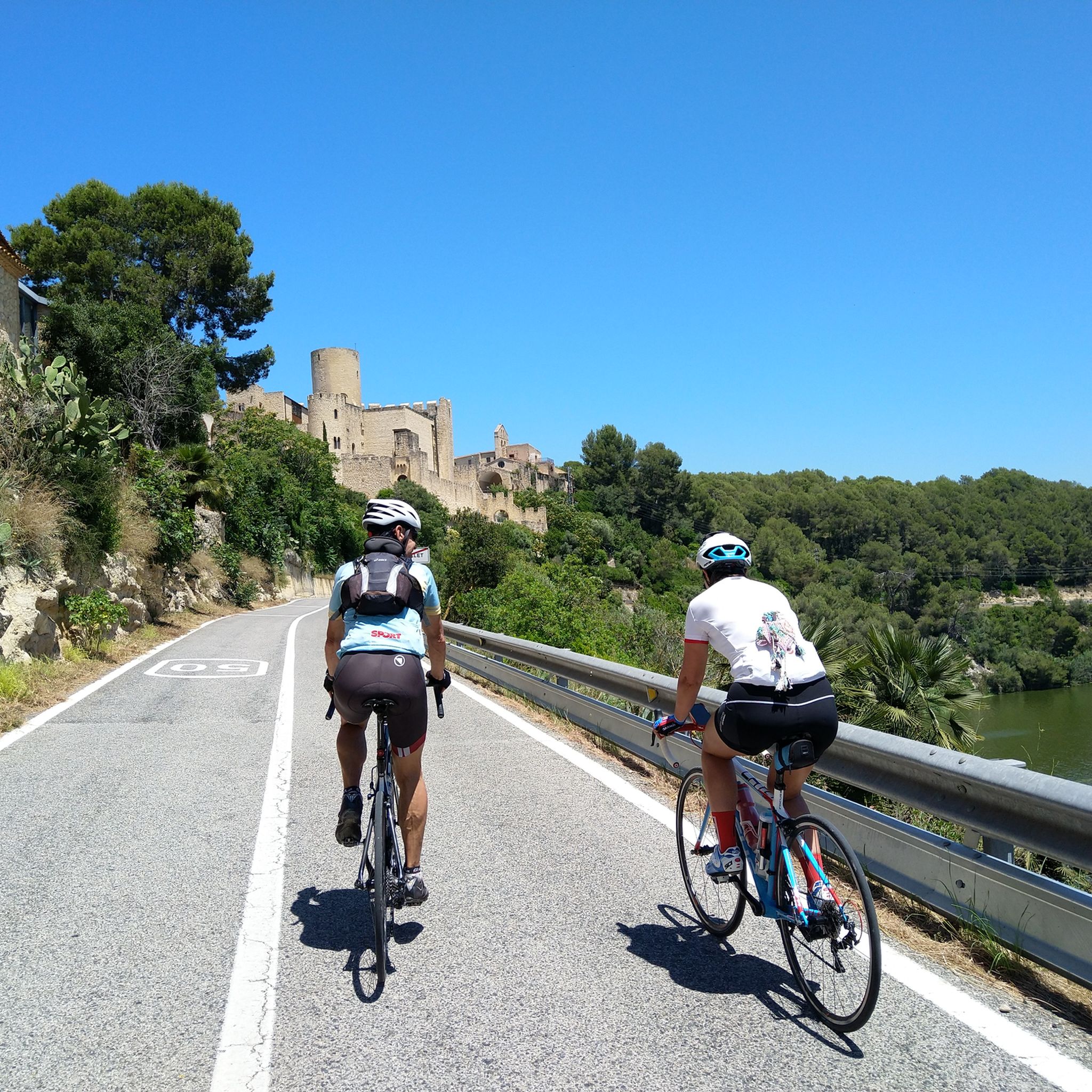
Road Cycling Routes around Santa Margarida I Els Monjos
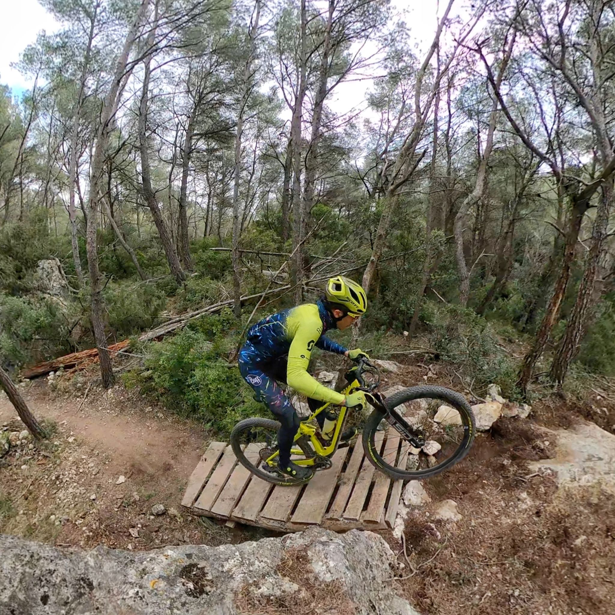
MTB Trails around Santa Margarida I Els Monjos
Cycling around Santa Margarida I Els Monjos
Running Trails around Santa Margarida I Els Monjos
Hiking around Santa Margarida I Els Monjos
Other adventures around Santa Margarida I Els Monjos

Tips from the Community

Beautiful hike and a great view of Vilanova i la Geltrú and the sea.
8
0


The Puig de l'Àliga, at 464 meters above sea level, is not the highest peak of the Garraf, that honor goes to the Puig de la Mola (534 meters), but it is the highest of the foothills southern parts of the Garraf massif. It forms a natural border between the regions of Alt Penedès and Garraf and is a natural viewpoint of both the Penedès plain and the Garraf coast. At its highest point there is a geodesic vertex, a large cross, and a fire watch tower.
2
0
La Fita dels Tres Termes is a mountain 234 meters high located in the Garraf massif, at the confluence of the municipalities of Vilanova and la Geltrú, Castellet and la Gornal and Cubelles. In its highest part, next to the forest surveillance tower, there is a cairn of mortar, right at the apex of the three municipal boundaries.
5
0

Beautiful tower not only for its views but also for the views it offers of the Penedès plain. The demanding climb is worth it!
0
0

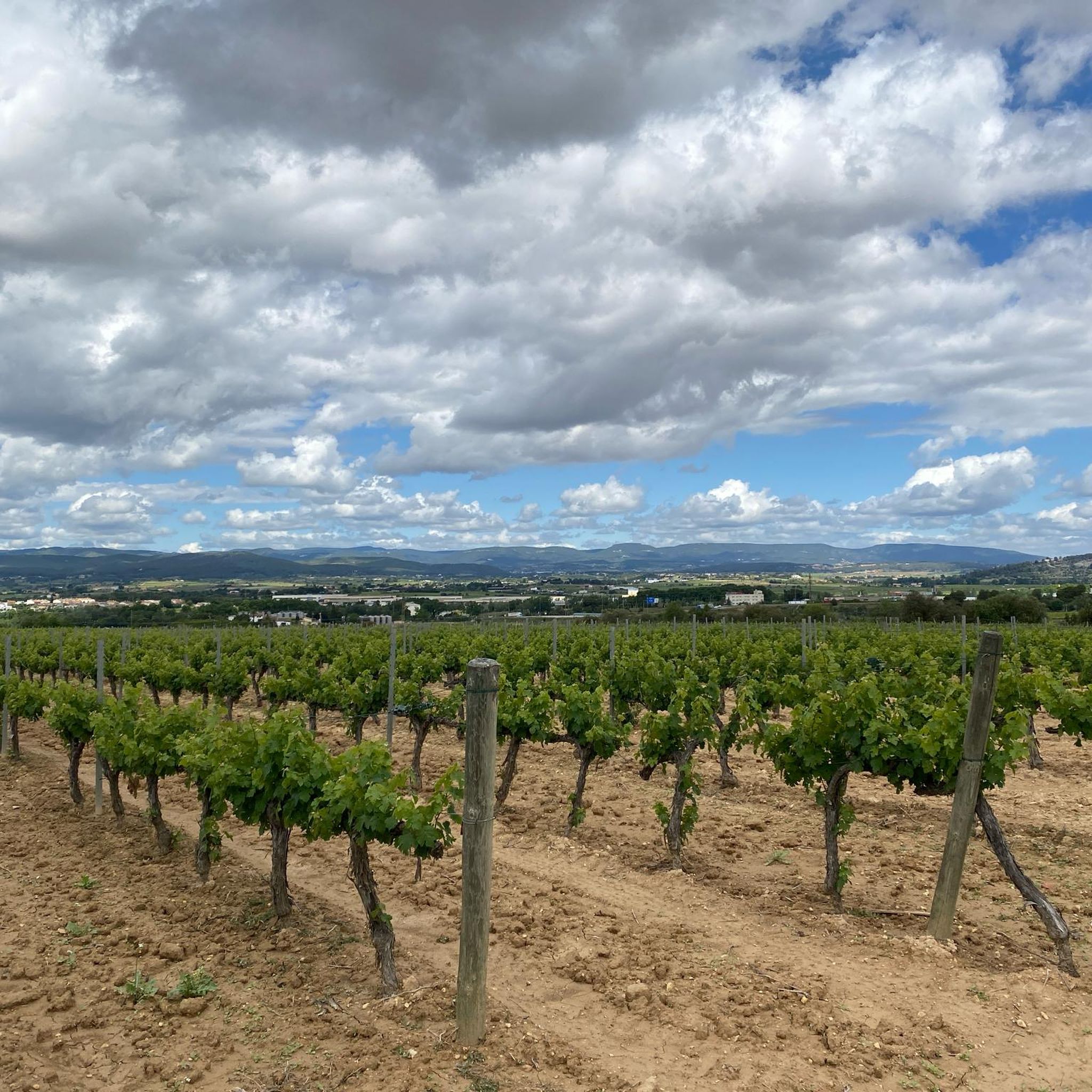
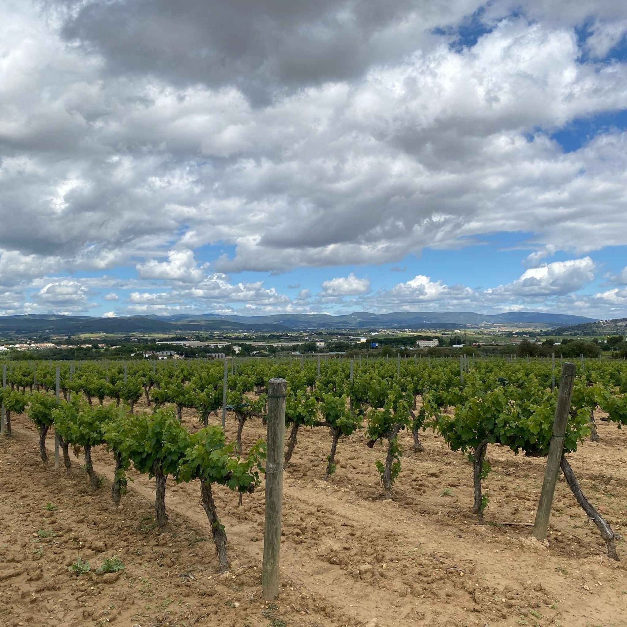
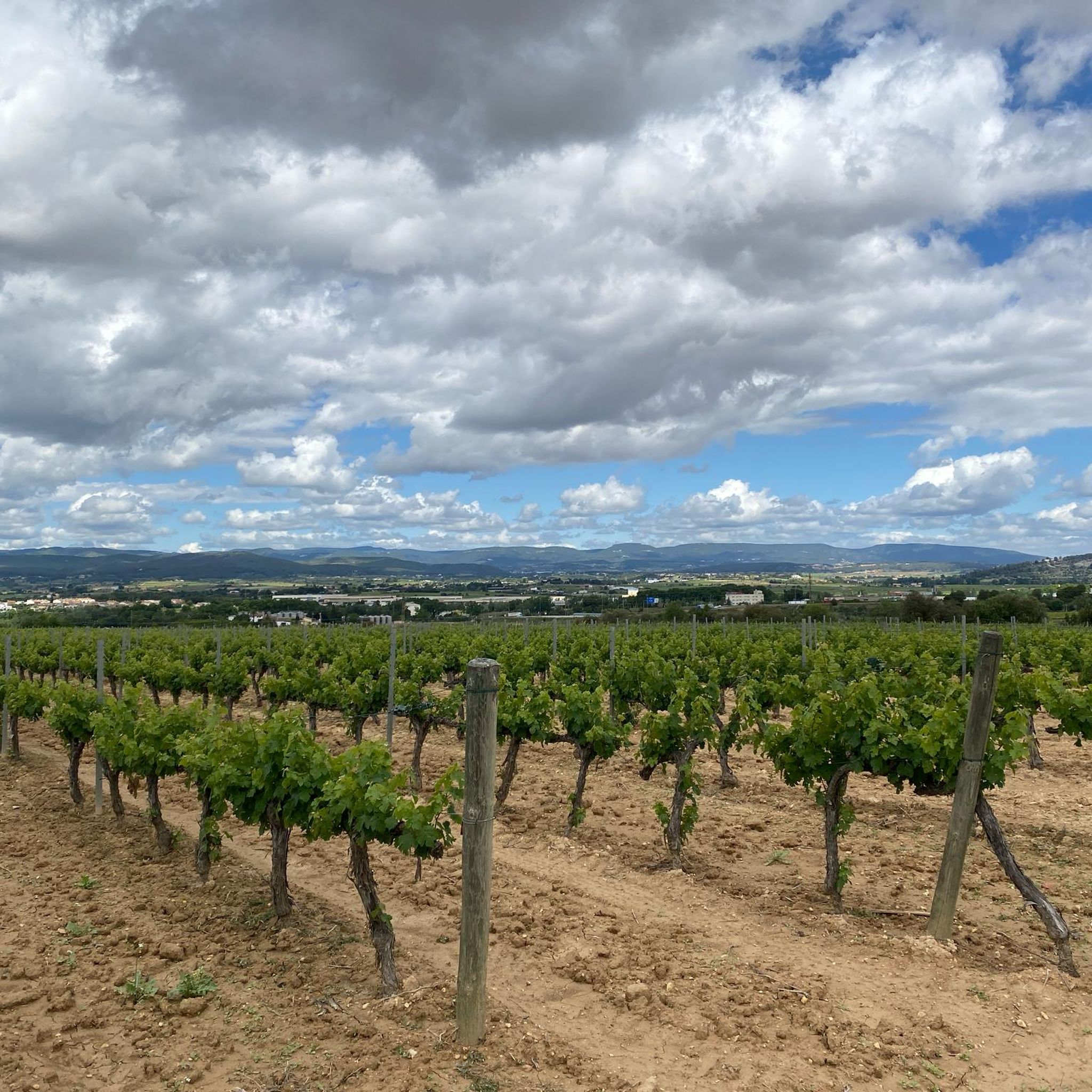
Small peak, near a quarry, where a series of rural roads converge. This is a typical area of the Penedès with extensive fields of vineyards interspersed with scattered farmhouses where you can also appreciate old quarries. From the top, if the vegetation allows us, you can see from Montserrat, la Mola, la Morella, el Montmell, el Montau and el Puig de l'Àliga, among others. As can be read on a small panel at the top, the Toponym derives from the word "popia", which in the geographical vocabulary of the popular language designates a hill of low height, with a regularly rounded shape and a wide base: the shape of the chest of 'a woman. The word "Papiol" derives from this metaphor. The name is already documented in 992 as the boundary of Viladellops (Olèrdola). Essential peak included in the list of 100 peaks of the F.E.E.C. https://www.feec.cat/activitats/100-cims/cim/penya-del-papiol/
1
0
Located on the hill of the same name, at an altitude of 468 meters, on the Marmellar stream and dominating the entire extension of the Penedès plain, the Castellot is one of the most recognizable surveillance and defense structures of the medieval period. This small fortress had the mission of serving as a lookout and defense of the territory in the event of an attack by the Saracens. Due to its small size, it never had a castle structure, it was just a watchtower and defense tower, with a small attached construction and next to it the primitive chapel of Sant Miquel. The complex is dated between the end of the 10th century and the beginning of the 11th century, with some modifications made in the 13th century, before being abandoned and becoming a temporary refuge for shepherds, vagabonds and bandits. A second phase of restoration was completed in March 2021, mainly focused on the watchtower, the upper part of which can now be accessed via an internal staircase.
0
0
Located on the hill of the same name, at an altitude of 468 meters, on the Marmellar stream and dominating the entire extension of the Penedès plain, the Castellot is one of the most recognizable surveillance and defense structures of the medieval period. This small fortress had the mission of serving as a lookout and defense of the territory in the event of an attack by the Saracens. Due to its small size, it never had a castle structure, it was just a watchtower and defense tower, with a small attached construction and next to it the primitive chapel of Sant Miquel. The complex is dated between the end of the 10th century and the beginning of the 11th century, with some modifications made in the 13th century, before being abandoned and becoming a temporary refuge for shepherds, vagabonds and bandits. A second phase of restoration was completed in March 2021, mainly focused on the watchtower, the upper part of which can now be accessed via an internal staircase.
0
0
Frequently Asked Questions
What are the most popular elevated points and peaks to visit around Santa Margarida i els Monjos?
The region offers several popular elevated points. Among the most visited are Puig de l'Àliga, known for its panoramic views of the Penedès plain and Garraf coast, and El Castellot, a historical site offering commanding views from its medieval lookout tower. Another favorite is La Talaia Summit and Observation Tower, which rewards climbers with expansive vistas.
Are there historical sites among the peaks in Santa Margarida i els Monjos?
Yes, the area features significant historical sites on its elevated terrain. El Castellot is a prime example, a small fortress dating back to the 10th-11th centuries that served as a crucial lookout and defense structure. Its restored watchtower offers a glimpse into the region's past.
What kind of views can I expect from the elevated points in this region?
From various elevated points, you can expect diverse and stunning views. For instance, Puig de l'Àliga provides views across the Penedès plain and the Garraf coast. Fita dels Tres Termes offers a beautiful perspective of Vilanova i la Geltrú and the sea, while Penya del Papiol allows you to see landmarks like Montserrat and La Mola on a clear day.
Are there challenging hikes to reach these peaks?
Some of the elevated points offer challenging ascents. For example, reaching Penya del Papiol is considered challenging, with visitors noting the area can be dangerous and slippery. Similarly, the climb to La Talaia Summit and Observation Tower involves a steep asphalt section with up to a 20% slope.
What outdoor activities can I do near the mountain peaks of Santa Margarida i els Monjos?
Beyond exploring the peaks themselves, the area around Santa Margarida i els Monjos offers a variety of outdoor activities. You can find numerous hiking trails, ranging from easy loops to more moderate routes. The region is also popular for cycling, with scenic routes like those around Coll de les Ventoses, and offers dedicated running trails.
Are there easy hiking options to reach viewpoints in the area?
While some climbs are demanding, there are generally accessible routes to enjoy the elevated landscapes. For instance, the two common ascents to Puig de l'Àliga are made by track, offering good views without extreme difficulty. Many of the nearby hiking routes are also rated as easy or intermediate, providing options for various fitness levels.
What is the highest point in the immediate vicinity of Santa Margarida i els Monjos?
The highest point mentioned in the guide data is El Castellot, situated at an altitude of 468 meters. Puig de l'Àliga is also a significant peak at 464 meters, marking the highest of the southern foothills of the Garraf massif.
What do visitors enjoy most about the mountain peaks around Santa Margarida i els Monjos?
Visitors consistently highlight the breathtaking panoramic views as a major draw. The sense of accomplishment after a climb, especially to spots like La Talaia Summit and Observation Tower, is often mentioned. The blend of natural beauty with historical significance, such as at El Castellot, also adds to the appeal.
Can I cycle to any of the elevated viewpoints?
Yes, some elevated areas are popular with cyclists. The Puig de l'Àliga is noted as being comfortable for gravel bikes, offering brilliant routes and rewarding views. The Coll de les Ventoses, while not a highlight in the guide, is also a well-known cycling spot in the region for its scenic roads and panoramic views.
Are there any natural monuments or unique geological features among these peaks?
Yes, several peaks are recognized as natural monuments. Puig de l'Àliga and Penya del Papiol are both classified as natural monuments. Fita dels Tres Termes, located in the Garraf massif, also features a cairn at its highest point, marking the confluence of three municipal boundaries.
What is the significance of the name Penya del Papiol?
The name Penya del Papiol derives from the word "popia," which in local geographical vocabulary describes a low, regularly rounded hill with a wide base, metaphorically resembling a woman's chest. This name has been documented since 992, highlighting its long-standing recognition in the region.
Most popular routes around Santa Margarida I Els Monjos
Most popular attractions around Santa Margarida I Els Monjos

Get inspired with the komoot mobile app


Explore more
See even more amazing summits around Santa Margarida I Els Monjos with these guides:
