Top 8 Lakes around Vega De San Mateo
Best lakes around Vega De San Mateo are primarily found within its mountainous terrain, characterized by deep ravines and lush greenery. While expansive natural lakes for boating are not common, the area features picturesque water bodies, including dams and natural pools within its barrancos. These water features are often integrated into the landscape, offering opportunities for hiking and appreciating the natural environment.
Best lakes around Vega De San Mateo
- The most popular lakes is Upper waterfall, a climb that…
Last updated: July 4, 2026
Los Hornos Dam
Highlight • Lake
Translated by Google •
Tip by

Chira Dam
Highlight (Segment) • Lake
There is also construction work going on at the moment, we actually wanted to go back up to the reservoir.
But still a nice round.
Translated by Google •
Tip by

Sign up now to discover places like this
Get recommendations on the best single tracks, peaks, & plenty of other exciting outdoor places.
Sign up for free
Upper waterfall
Highlight • Climb
Translated by Google •
Tip by

El Charco de la Paloma
Highlight • Waterfall
Translated by Google •
Tip by

Presa de Las Niñas
Highlight (Segment) • Lake
Translated by Google •
Tip by

Sign up for free to discover even more lakes around Vega De San Mateo.
Sign up for free
Already have an account?
Start today with a free account
Your next adventure awaits.
Login or Signup


Tips from the Community

After the recent rainfall, there is currently plenty of water for the small waterfall.
0
0

Unfortunately not very spectacular and not accessible due to the higher water
0
0

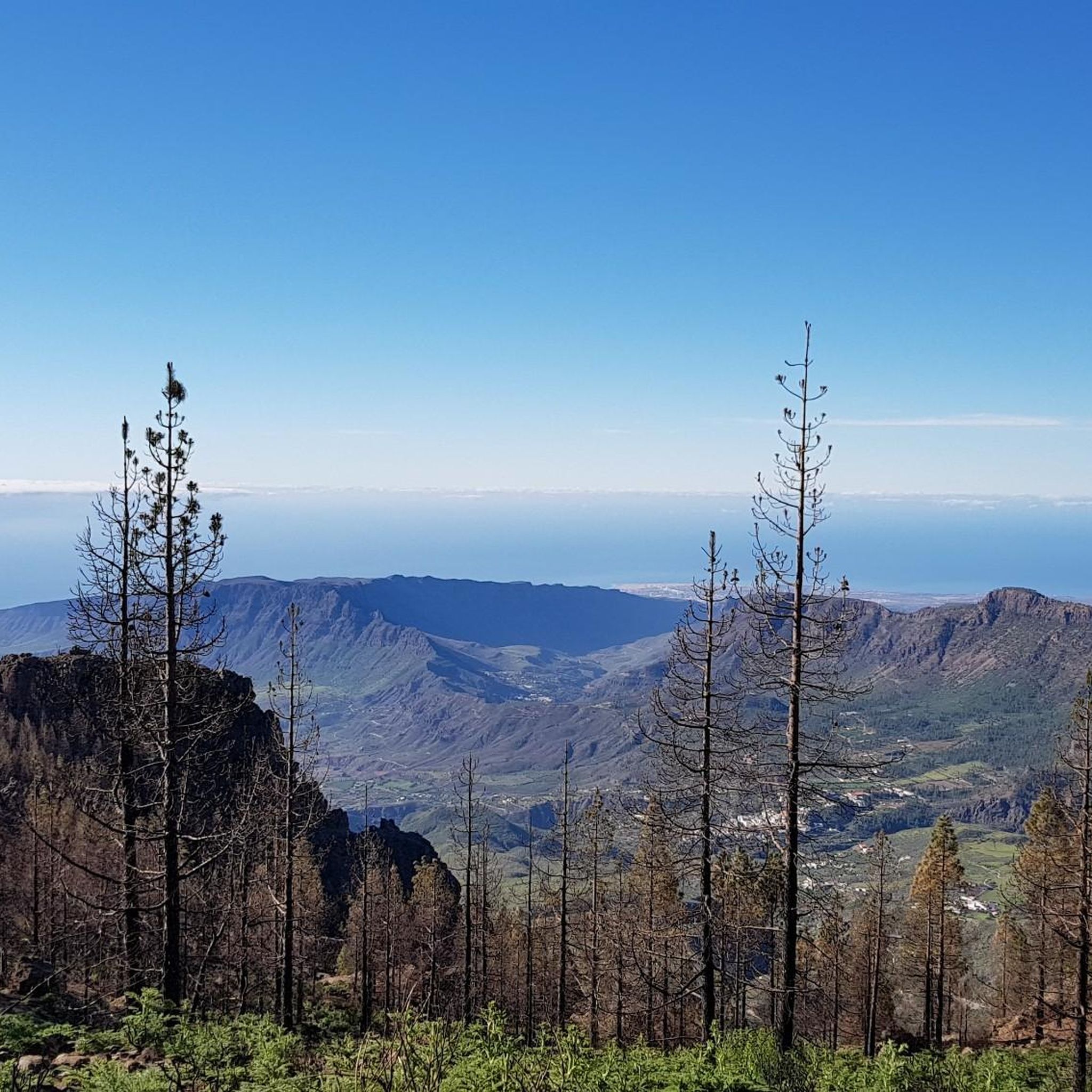
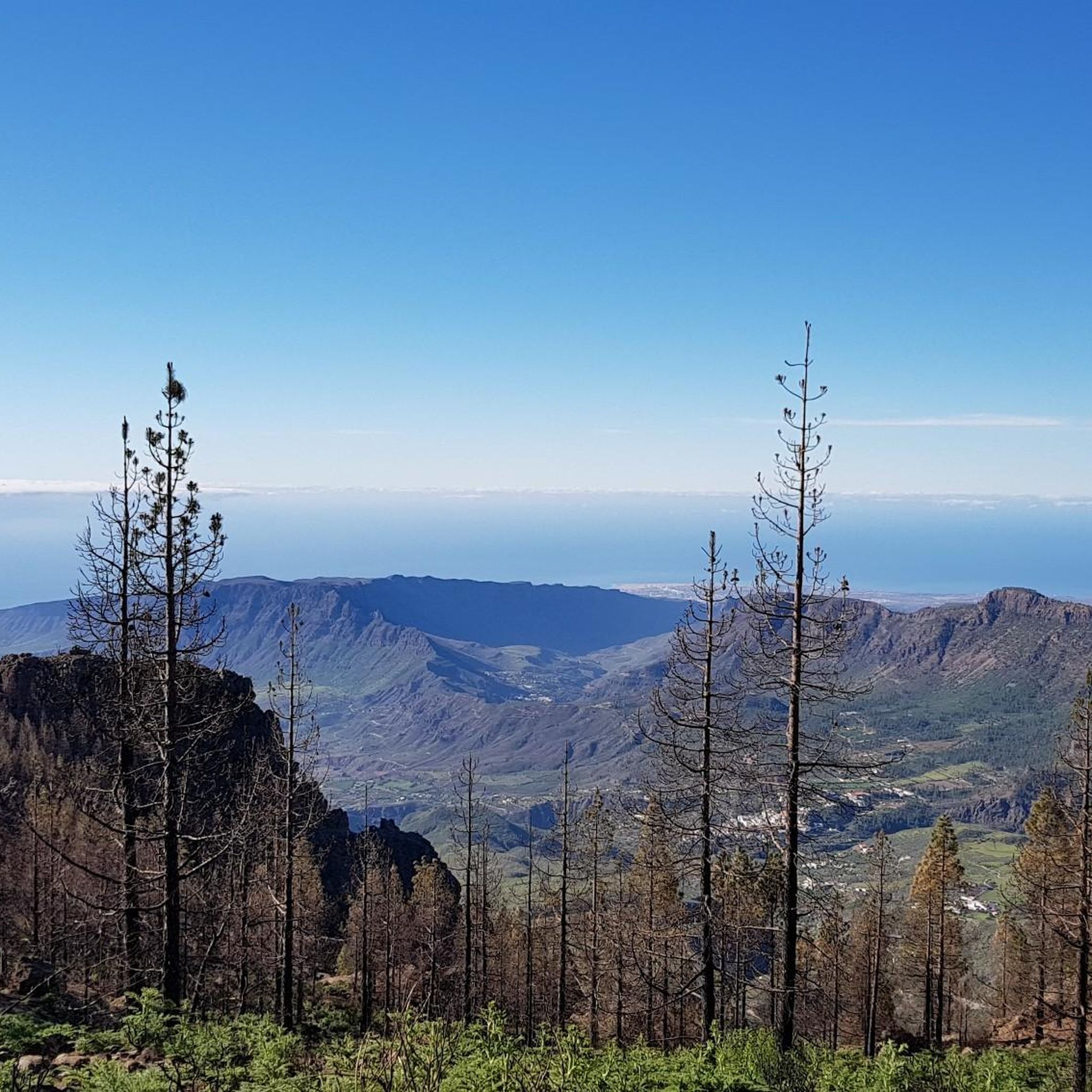
Los Hornos Dam Viewpoint The Los Hornos Dam or Cumbre Dam has a height of 1,565 meters above sea level. It dates from 1933, but was later enlarged. Made of ordinary masonry, it reached a height of 27 m and had a capacity of 697,000 m3 of water, which flows between ditches and tunnels towards the municipalities of Arucas and San Mateo.
3
1
The waterfall and the filled reservoir in front of it are probably best admired during the "rainy season" in autumn and winter. Since it doesn't rain often on the island, no water flows here from spring to autumn.
3
1
Los Hornos Dam Viewpoint The Los Hornos Dam or Cumbre Dam has a height of 1,565 meters above sea level. It dates from 1933, but was later enlarged. Made of ordinary masonry, it reached a height of 27 m and had a capacity of 697,000 m3 of water, which flows between ditches and tunnels towards the municipalities of Arucas and San Mateo.
6
0


The history of the Chira Dam begins on August 30, 1932, in the middle of the 2nd Republic, when the Cabildo de Gran Canaria requested the concession of the discontinuous public water flowing through the Barranco de Chira to fill the Soria reservoir, whose license was applied for in the same procedure. The original proposal called for a diversion dam (its goal was to raise water levels to allow for later diversion). The inquiries were answered positively in 1934. The difficulties encountered in processing the Soria Dam project led the chief engineer of the province to order the replacement of the diversion dam with a dam (in order to concentrate the objective on water storage) and to order the preparation of a new project, which began in 1941 was approved. Work began in the same year, but had to be stopped three years later due to a lack of budget. More than five years after the first project, another technical document is being prepared to complete the paralyzed foundation. This defines the dam as we know it today, standing 32 meters above the riverbed and 41 meters from its foundation with a circular plan. In 1955, the final project and its budget were approved, allowing the work to be completed and inaugurated just a decade later. Source: https://www.canarias7.es/canarias/gran-canaria/historia-futuro-presas-20201129100447-nt.html
1
0

The reservoir currently has little water. There is also construction work going on at the moment, we actually wanted to go back up to the reservoir. But still a nice round.
1
0
Frequently Asked Questions
What kind of "lakes" can I expect to find around Vega de San Mateo?
The region around Vega de San Mateo is characterized by mountainous terrain, so you'll primarily find man-made reservoirs, locally known as "presas," and natural pools formed within barrancos (ravines) by waterfalls. These water features are integrated into the landscape, offering unique opportunities for exploration rather than expansive natural lakes for boating.
Which lakes are most accessible from Vega de San Mateo?
While not directly within the municipality, Presa de Las Niñas is a significant reservoir accessible from the area. It's known for its serene environment, pine trees, and camping facilities. Other notable man-made lakes include Los Hornos Dam and Chira Dam, which are important water reservoirs for the region.
Are there any family-friendly lakes or water features in the area?
Yes, Presa de Las Niñas is considered family-friendly, offering a natural leisure space with areas for camping and tranquil walks amidst ancient pine trees. El Charco de la Paloma, a small lake with a beautiful waterfall, is also a popular excursion spot suitable for families, especially during the wetter seasons.
Can I swim in any of the lakes or water features?
Yes, the Upper waterfall is noted by visitors as a great spot for swimming. This challenging climb involves navigating rock walls and venturing down slopes to reach the water.
What outdoor activities can I do near these lakes?
The areas around these water features are excellent for various outdoor activities. You can enjoy tranquil walks, birdwatching, and camping, particularly around Presa de Las Niñas. For more extensive adventures, the region offers numerous hiking trails, cycling routes, and running trails that often pass by or offer views of these reservoirs and barrancos.
Are there any historical or man-made monuments among the lakes?
Yes, several of the significant water bodies are man-made dams with historical importance. Los Hornos Dam, built in 1933, is a notable example, serving as a vital water reservoir. Similarly, Chira Dam has a rich history dating back to its initial planning in the 1930s and completion in the 1960s.
When is the best time to visit the water features around Vega de San Mateo?
The "rainy season" in autumn and winter is often the best time to see waterfalls and reservoirs like El Charco de la Paloma at their fullest. During the drier months from spring to autumn, some waterfalls may have reduced flow or be completely dry. However, the dams remain significant water bodies year-round, offering scenic views and recreational opportunities.
Are there viewpoints offering scenic views of the lakes?
Yes, both Los Hornos Dam and Presa de Las Niñas are highlighted as viewpoints. They offer stunning vistas of the reservoirs themselves and the surrounding mountainous landscapes, making them popular spots for photography and enjoying nature.
What should I wear for visiting the lakes and water features?
Given the mountainous terrain and potential for hiking, it's advisable to wear comfortable, sturdy footwear suitable for uneven paths. If you plan to visit during the cooler or wetter months, bring layers and waterproof clothing. For those interested in swimming at spots like the Upper waterfall, swimwear is essential.
Are there facilities available near the lakes?
Some of the larger reservoirs offer facilities. Presa de Las Niñas provides areas for camping and other amenities, making it a convenient stop for longer visits. Los Hornos Dam also has facilities available for visitors.
What do visitors enjoy most about the water features around Vega de San Mateo?
Visitors frequently appreciate the tranquil and refreshing settings, the unique natural beauty, and the opportunities for outdoor activities. The combination of man-made dams nestled within stunning natural landscapes, along with the chance to discover hidden waterfalls and natural pools, makes these spots highly valued by the komoot community for their scenic beauty and adventurous potential.
Most popular routes around Vega De San Mateo
Most popular attractions around Vega De San Mateo

Get inspired with the komoot mobile app


Explore more
Still not found your perfect lake around Vega De San Mateo? Check out the guides of these regions to see even more beautiful places.
