The 5 Most Amazing Peaks around Monserrat
Best mountain peaks around Monserrat offer diverse landscapes for exploration. This region, located near Valencia, Spain, is characterized by its rugged topography, including prominent summits and viewpoints. The area features a mix of forested spaces, agricultural lands, and significant geological formations. It provides opportunities to experience both natural beauty and man-made structures like fire lookout towers and antenna installations.
Best mountain peaks around Monserrat
- The most popular mountain peaks is Besorí Peak Fire Lookout Tower, a viewpoint that offers…
Last updated: August 14, 2026
Pico de los Cerros
Highlight • Viewpoint
Translated by Google •
Tip by

Besorí Peak Fire Lookout Tower
Highlight • Viewpoint
Translated by Google •
Tip by
Sign up now to discover places like this
Get recommendations on the best single tracks, peaks, & plenty of other exciting outdoor places.
Sign up for free
Serra Perenxisa Summit
Highlight • Summit
Translated by Google •
Tip by

Calicanto Antennas – View of Valencia
Highlight • Viewpoint
Translated by Google •
Tip by
Ascent to Calicanto antennas
Highlight (Segment) • Summit
Translated by Google •
Tip by

Start today with a free account
Your next adventure awaits.
Login or Signup

Tips from the Community

Impressive views from this geodetic point of the natural landscape of El Tello. If you've come this far you won't be disappointed.
0
0

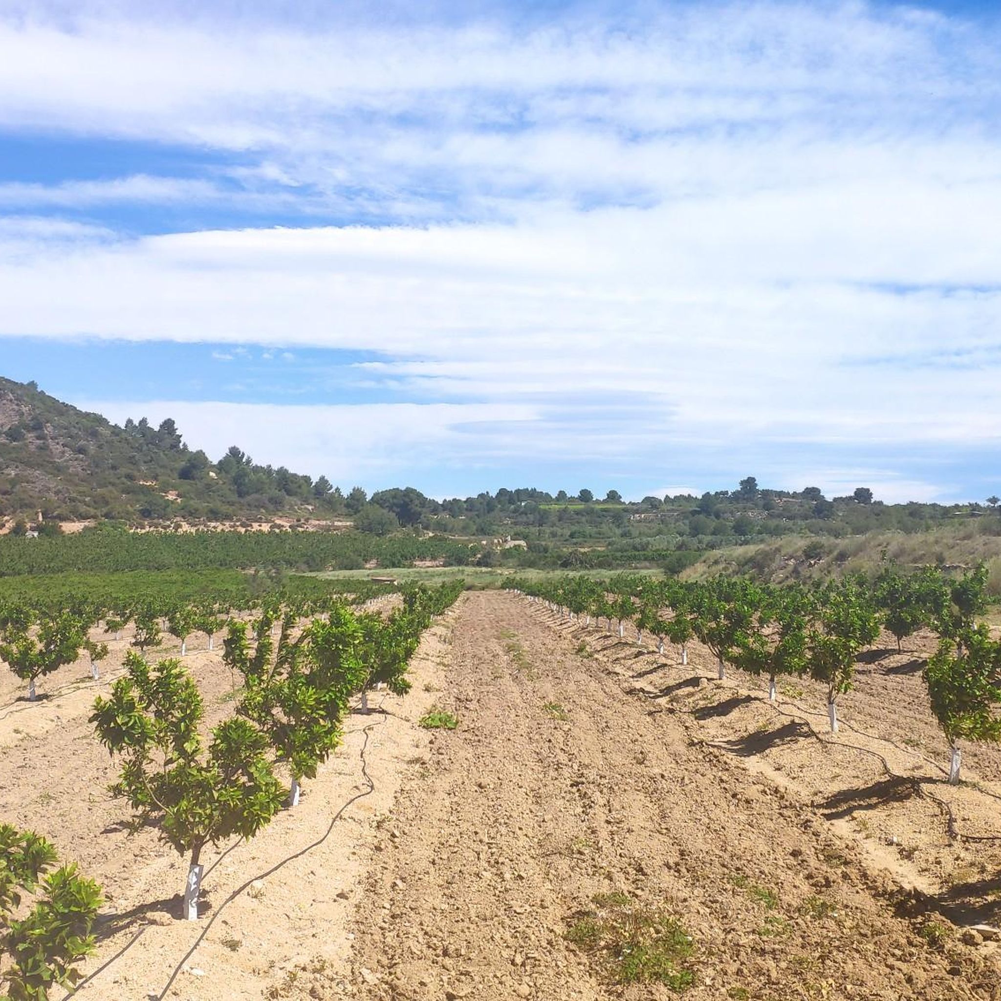
The landscape value of Els Cerros is especially notable in the area of the municipality of Llombay, given that it constitutes a wooded space located in a crop area and surrounded by the Magro River. Among its notable natural values is the Cueva de las Maravillas, which is one of the ten most important caves in the Valencian Community.
0
0

The views from up here are worthy of several postcards since in the direction you look you will be surprised by the beauty of the landscape!
3
0
The antennas of the Cumbre de Calicanto in the Serra Perenxisa offer wonderful views of the city of Valencia, the Levante coast and the Hoya de Buñol. There are several alternatives to get there, either by paved road or a gravel track with greater difficulty. Either way you will have a nice reward when you get up there!
4
0
Beautiful views from the top at about 360 meters above sea level. It is reached by taking the detour from the main track and going up a track in good condition with concreted sections. Definitely worth a visit!
3
0

Intermediate point, it is quite wide with views to all sides
2
0

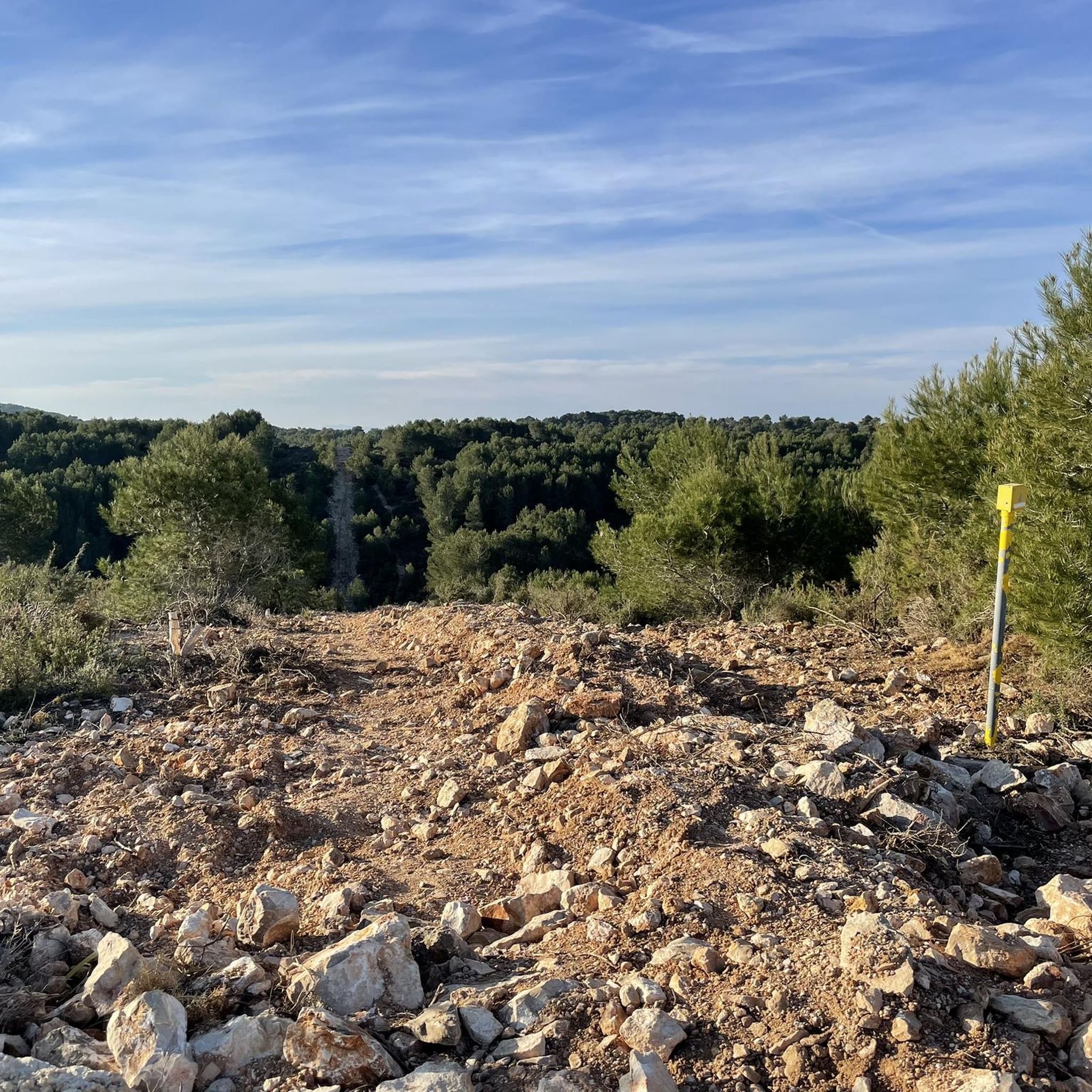
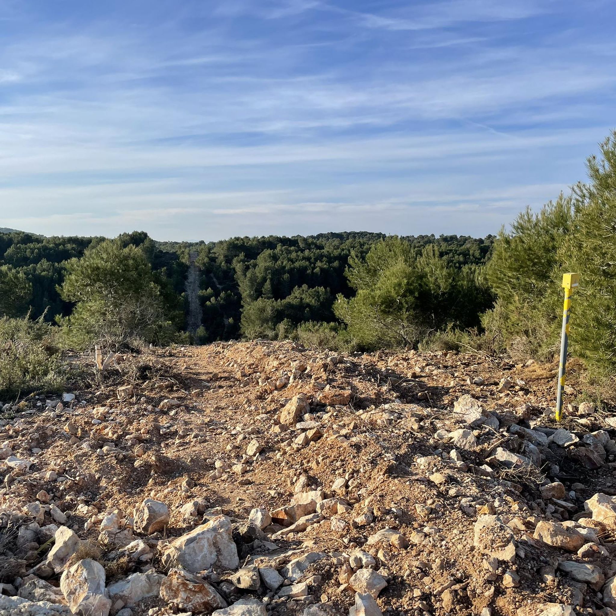
There are two possibilities to reach the antennas. One is going up the road of the Calicanto urbanization and the other is by a track that connects in the lower part of the urbanization. This route corresponds to the track and you must bring a suitable bicycle and keep in mind that there are sections with loose stone.
0
0
There are two possibilities to reach the antennas. One is going up the road of the Calicanto urbanization and the other is by a track that connects in the lower part of the urbanization. You must bring a suitable bicycle along the track and keep in mind that there are sections with loose stone.
3
1
Frequently Asked Questions
What are the most popular mountain peaks around Monserrat?
Among the most popular peaks, visitors highly recommend the Besorí Peak Fire Lookout Tower for its impressive views of the natural landscape of El Tello. Another favorite is Calicanto Antennas – View of Valencia, offering expansive vistas of Valencia city and the Levante coast. Pico de los Cerros is also well-loved for its wide, postcard-worthy views in all directions.
What kind of views can I expect from the peaks in Monserrat?
From peaks like Calicanto Antennas – View of Valencia, you can enjoy wonderful views of Valencia city, the Levante coast, and the Hoya de Buñol. The Besorí Peak Fire Lookout Tower provides impressive panoramic views of the natural landscape of El Tello. Pico de los Cerros is noted for its wide, scenic views across the landscape, especially in the municipality of Llombay.
Are there challenging routes to reach the summits in Monserrat?
Yes, for those seeking a challenge, the Ascent to Calicanto antennas is categorized as challenging, often involving tracks with loose stone that require a suitable bicycle. Other peaks like Serra Perenxisa Summit and Besorí Peak Fire Lookout Tower offer intermediate routes, some with paved or concreted sections.
What natural features can be found near the mountain peaks?
Near Pico de los Cerros, you can find the Cueva de las Maravillas, which is one of the ten most important caves in the Valencian Community. The area around Els Cerros is also a notable wooded space within a crop area, surrounded by the Magro River.
What outdoor activities can I do near these mountain peaks?
The region around Monserrat offers diverse outdoor activities. You can find numerous running trails, including moderate to difficult loops like the 'Stone Shelter and Valley View loop'. For cyclists, there are excellent gravel biking and cycling routes, with options ranging from easy to difficult, often leading to viewpoints or summits.
Are there specific trails for gravel biking or mountain biking to the summits?
Yes, for gravel or mountain biking, the Serra Perenxisa Summit is accessible via dirt roads, though an asphalt climb is also an option. To reach Calicanto Antennas – View of Valencia, you can choose between a paved road or a gravel track, with the latter having sections of loose stone. Several gravel biking routes in the area incorporate these ascents.
What do visitors enjoy most about the mountain peaks in Monserrat?
Visitors consistently praise the breathtaking views from the summits, describing them as 'worthy of several postcards'. The diverse landscape, combining forested spaces, agricultural lands, and significant geological formations, is also a major draw. The accessibility of some peaks, even those with concreted sections on tracks, makes them enjoyable for many.
Are there any man-made structures or landmarks on the peaks?
Yes, the Besorí Peak Fire Lookout Tower is a prominent man-made monument offering impressive views. Similarly, the Calicanto Antennas – View of Valencia are a notable landmark at a summit, providing a unique vantage point over the region.
How accessible are the trails to these mountain peaks?
Accessibility varies. For instance, the Besorí Peak Fire Lookout Tower is reached via a track with concreted sections, making the ascent relatively accessible. Other routes, like the gravel track to Calicanto Antennas – View of Valencia, can have sections with loose stone, requiring more suitable equipment or experience.
Can I find intermediate hiking routes in Monserrat?
Absolutely. Many of the routes leading to the peaks around Monserrat are classified as intermediate. For example, the paths to Pico de los Cerros and Serra Perenxisa Summit are considered intermediate, offering a good balance of challenge and reward for hikers.
Most popular routes around Monserrat
Most popular attractions around Monserrat

Get inspired with the komoot mobile app


Explore more
See even more amazing summits around Monserrat with these guides:
