The 8 Most Amazing Peaks around Castelló De Rugat
Best mountain peaks around Castelló De Rugat are found in a region characterized by its elevation of 320 meters and proximity to dramatic mountain ranges. The area is significantly influenced by the Sierra de Benicadell, which forms a natural border and features rugged landscapes with pine forests and shrubland. Within its district, notable hills like La Lloma de l'Ullastre (820 m) and Peña Blanca (530 m) offer diverse experiences. Castelló De Rugat provides accessible hiking and cycling routes with varying…
Last updated: July 4, 2026
View of Alt de Benicadell
Highlight • Summit
Translated by Google •
Tip by

Cim de la Safor (1,013 m)
Highlight • Summit
Translated by Google •
Tip by

Sign up now to discover places like this
Get recommendations on the best single tracks, peaks, & plenty of other exciting outdoor places.
Sign up for free
Penyagolosa Cross (Petal Gros Summit)
Highlight • Summit
Translated by Google •
Tip by

Views of Benicadell
Highlight • Viewpoint
Translated by Google •
Tip by

Beautiful views of Benicadell
Highlight • Summit
Translated by Google •
Tip by

Sign up for free to discover even more peaks around Castelló De Rugat.
Sign up for free
Already have an account?
Start today with a free account
Your next adventure awaits.
Login or Signup

Tips from the Community

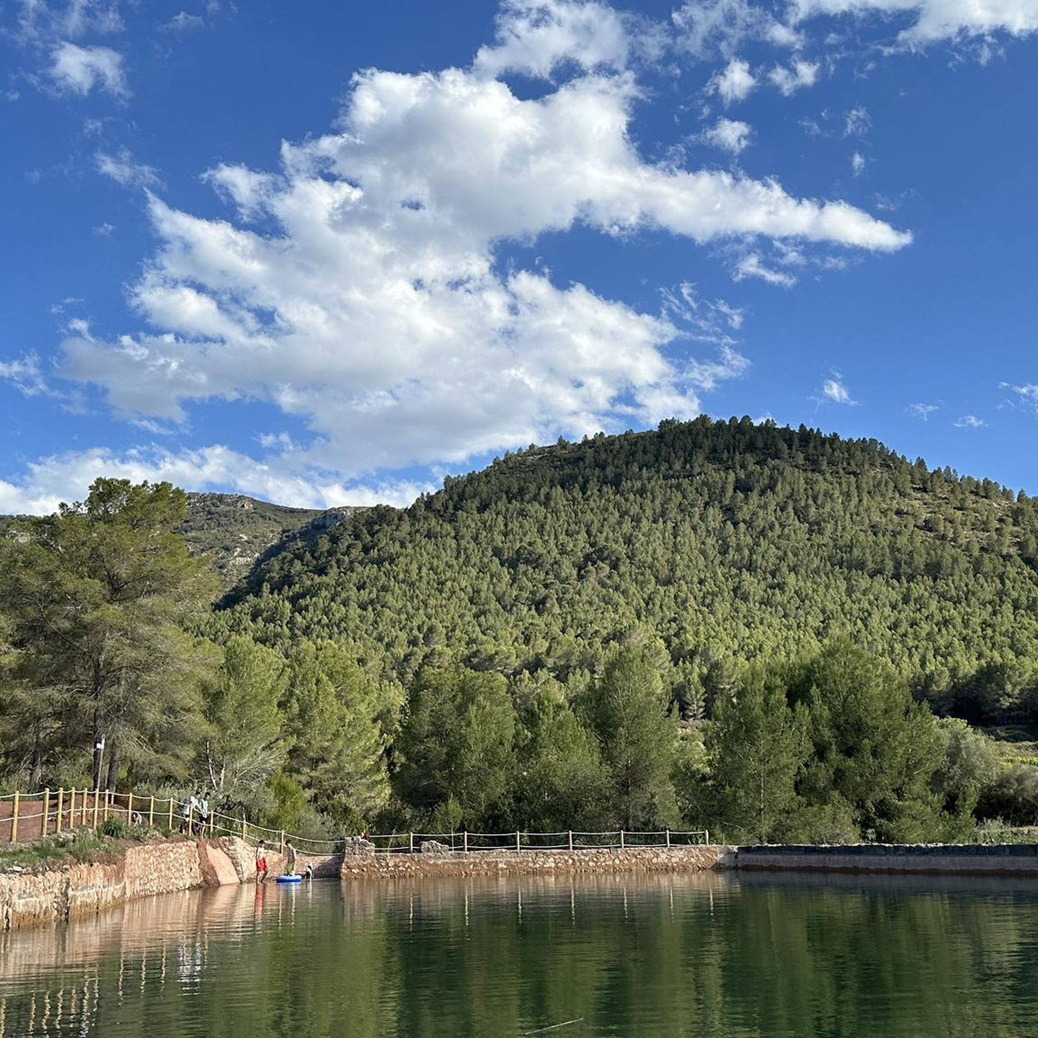
There are several points along this route from which you can admire the impressive silhouette of the Benicadell massif. The Alt de Benicadell, with a height of 1,105 metres, is a prominent peak in the Sierra de Benicadell, which forms a natural border between the provinces of Valencia and Alicante. The region around the Benicadell offers numerous opportunities for cycling tours that lead through varied landscapes with impressive views.
5
0

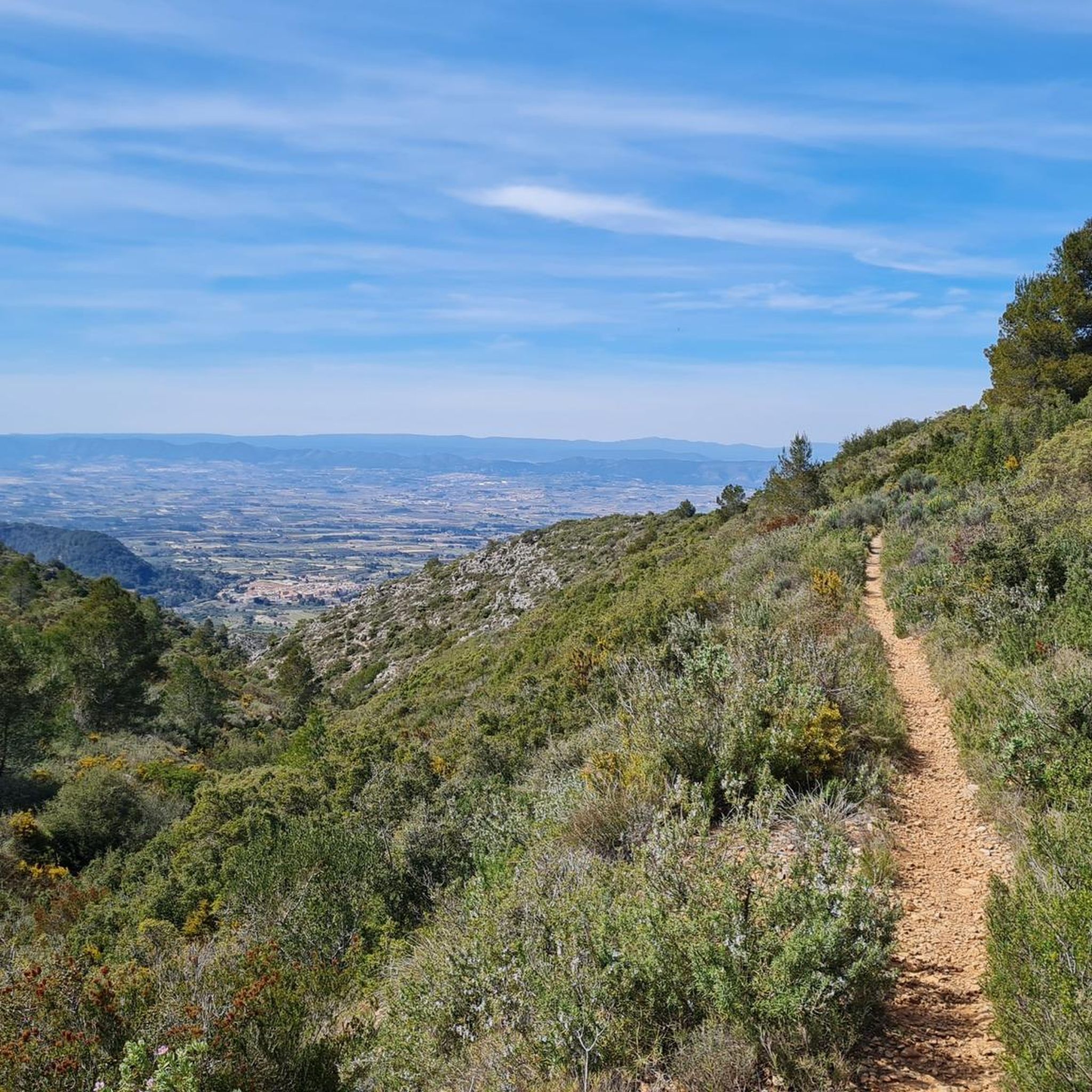
From the TOP of the mountain one can have great view of La SAFOR and MARINA ALTA areas (nice view of Gandia and Oliva towns). Unfortunately, due to very rich vegetation (high trees) it is not possible to enjoy a 360 degree view similar to option which one has by hiking up Montuver mountain. Short video about this hike could be found under the following link: https://www.youtube.com/watch?v=j-mfyWy6RzQ
1
0

Place from which you have the most spectacular views of this incredible mountain.
1
0

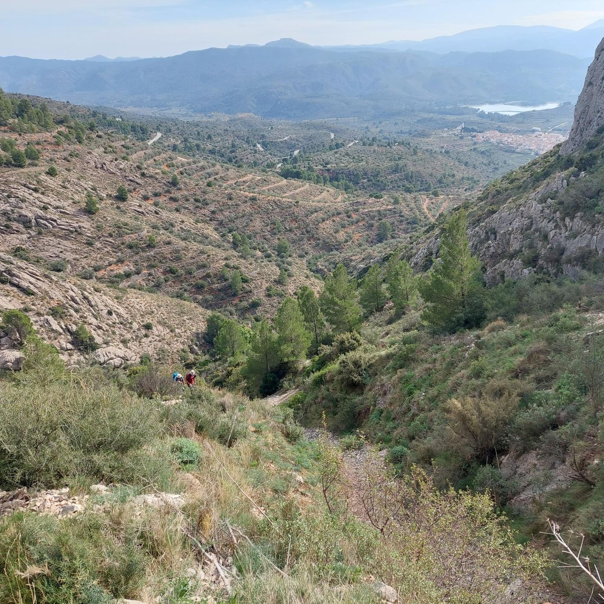
One of the best views of the route that goes from Benissili Castle to La Foradà.
1
0

Steep climb. Will be rewarded with a great view
1
0
The Benicadell accompanies the cyclist during the ascent and descent of the mountain pass between Castelló de Rugat and Beniarrés.
2
0
El Benicadell is the highest peak (1,104 m) of the mountain range of the same name. It is a mountainous wall that separates the Valencian regions of the Vall d'Albaida and the County. With a Betic (external Prebetic specifically) direction from north-east to south-west, the characteristic peak of Benicadell has the form of a rocky ridge of calcareous lithology that gives uniqueness to the landscape.
1
0

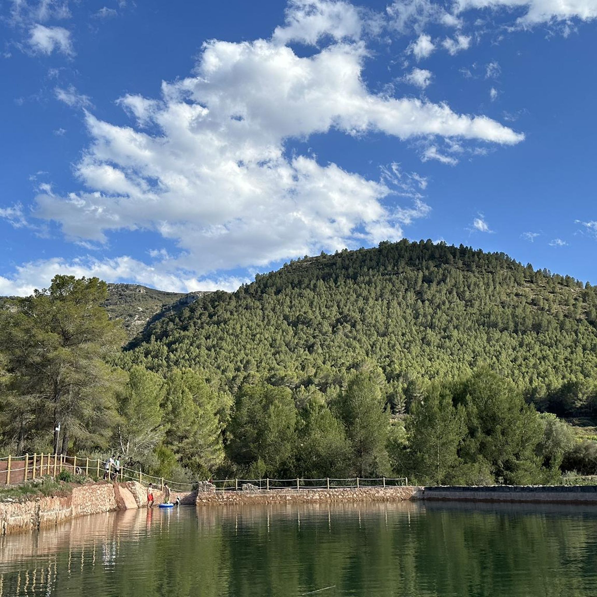
Very nice views of both Benicadell and the reservoir. Both on one side and the other you can ride on good roads and appreciate beautiful views
3
0
Frequently Asked Questions
What are some notable mountain peaks and viewpoints to explore around Castelló De Rugat?
The region offers diverse peaks and viewpoints. You can visit Cim de la Safor (1,013 m), known for its steep climb and great views of the La Safor and Marina Alta areas. Another significant spot is Penyagolosa Cross (Petal Gros Summit), which provides wonderful views of steep walls. For impressive vistas of the Sierra de Benicadell and the local reservoir, consider Views of Benicadell.
Are there challenging climbs for experienced hikers in the area?
Yes, for experienced hikers, the ascent to Cim de la Safor (1,013 m) involves a steep climb. Additionally, the 'Benicadell Summit – Benicadell Ice House loop from Salem' is a challenging 20.8 km hike with a 990-meter elevation gain, requiring good fitness and sure-footedness. You can find more challenging routes in the Hiking around Castelló De Rugat guide.
What are some easier mountain experiences or viewpoints suitable for families?
For a more accessible experience, consider visiting L'Ermita hill, which is 371 meters high and home to the Ermita de San Antonio and Santa Bárbara. It offers excellent panoramic views over the valley and surrounding mountains, including distant views of Xàtiva castle on a clear day. The area around the Ermita is designed for recreation with picnic spots and fountains, and the ascent is via a narrow, cobblestone pedestrian street.
Can I find historical sites near the mountain peaks around Castelló De Rugat?
Yes, the region has historical elements. The presence of ice houses, such as those mentioned in the 'Benicadell Summit – Benicadell Ice House loop from Salem' hike, suggests historical significance related to ice collection. Additionally, the Ermita de San Antonio and Santa Bárbara on L'Ermita hill is a historical hermitage offering cultural insight alongside its views.
What kind of natural landscapes can I expect to see when exploring the mountains?
The landscape around Castelló De Rugat is characterized by rugged terrain, pine forests, shrubland, and olive trees, especially within the Sierra de Benicadell range. You'll encounter impressive mountain silhouettes, views into valleys, and glimpses of reservoirs like the Beniarrés reservoir. The area provides a rich natural environment for outdoor activities.
Are there specific hiking routes recommended near these peaks?
Yes, there are several hiking routes. The 'Penyes Albes Trail' is a moderate 5.9 km hike. For a longer, more challenging option, consider the 'Benicadell Summit – Benicadell Ice House loop from Salem' at 20.8 km. You can explore these and more in the Hiking around Castelló De Rugat guide.
What about running trails in the mountain areas?
The region offers several running trails, many of which are challenging. Examples include the 'Crossing – Benicadell Summit loop from Ráfol de Salem' (27.6 km) and the 'Alt de la Nevera – la Capella loop from Ráfol de Salem' (22.7 km). More options can be found in the Running Trails around Castelló De Rugat guide.
Are there mountain biking opportunities near the peaks?
Absolutely. Mountain biking is popular, with routes like the 'Dawn's Way and Safor Loop' (57.2 km) and the 'Benicadell Forest Hut – Font Freda (viewpoint) loop from Ráfol de Salem' (45.6 km), both rated as difficult. For more MTB adventures, check out the MTB Trails around Castelló De Rugat guide.
Which peaks offer the best panoramic views?
For stunning panoramic views, Cim de la Safor (1,013 m) provides a great perspective of the La Safor and Marina Alta areas, including distant views of Gandia and Oliva. The Ermita on L'Ermita hill also offers an excellent viewpoint over the valley and surrounding mountains. Additionally, View of Alt de Benicadell provides impressive vistas of the Benicadell massif.
What do visitors particularly appreciate about the mountain peaks in this region?
Visitors frequently highlight the wonderful views, especially from spots like Penyagolosa Cross (Petal Gros Summit) with its steep walls. The impressive silhouette of Benicadell and the beautiful views of the reservoir from various points, such as Views of Benicadell, are also highly appreciated. The varied landscapes and opportunities for cycling tours through impressive scenery are also a draw.
Are there any circular hiking routes available around the mountains?
Yes, many routes in the area are circular. For example, the 'Benicadell Summit – Benicadell Ice House loop from Salem' is a notable circular hike. Another option is the 'Old quarry – The Aielo Mill loop from Rugat'. You can find more loop trails within the Hiking around Castelló De Rugat guide.
What is the highest point in the immediate Castelló De Rugat district?
Within the immediate district of Castelló De Rugat, the highest identified hill is La Lloma de l'Ullastre, reaching an elevation of 820 meters. Other notable hills include Peña Blanca (530 m) and Algebasó (503 m).
Most popular routes around Castelló De Rugat
Most popular attractions around Castelló De Rugat

Get inspired with the komoot mobile app


Explore more
See even more amazing summits around Castelló De Rugat with these guides:
