The 4 Most Amazing Peaks around Els Guiamets
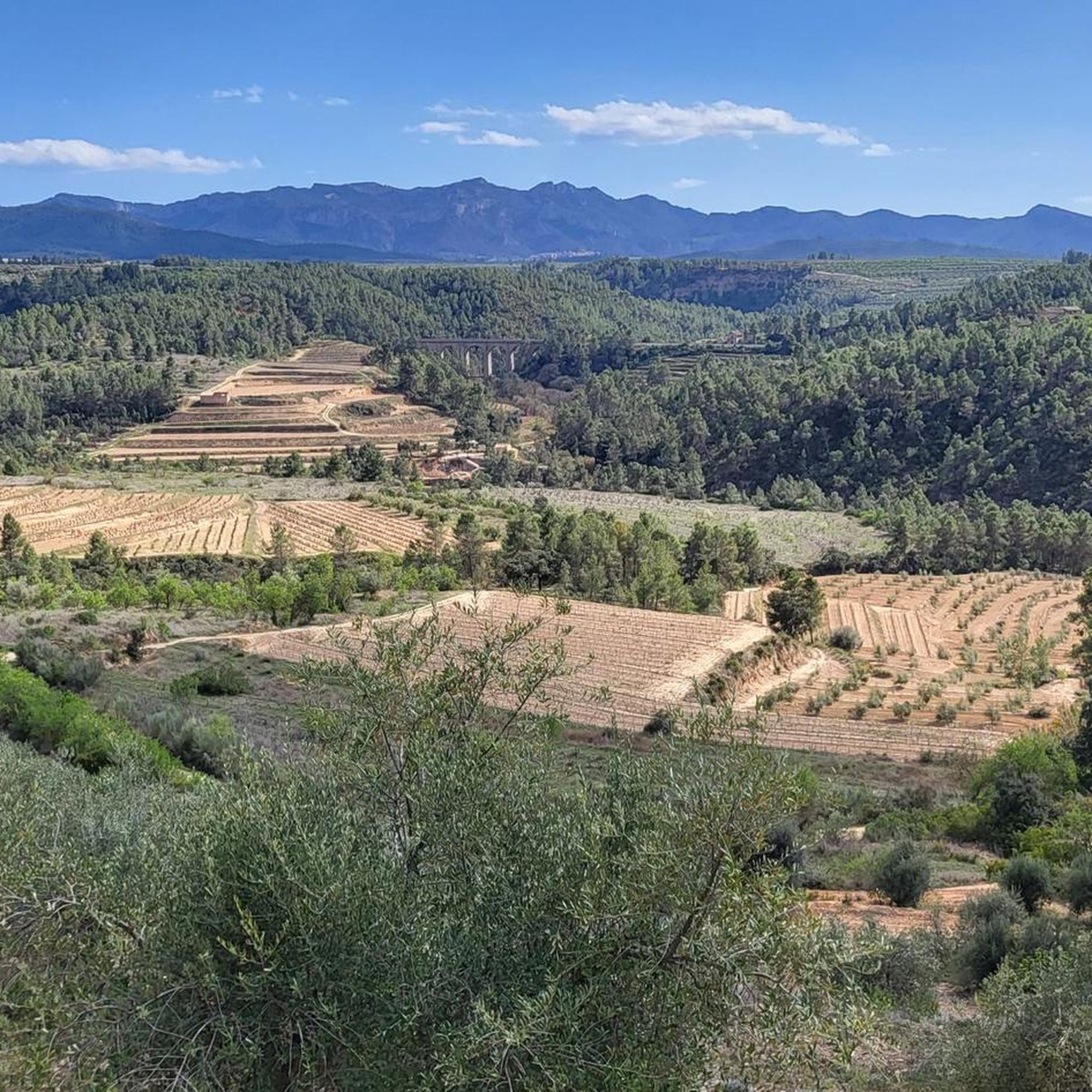
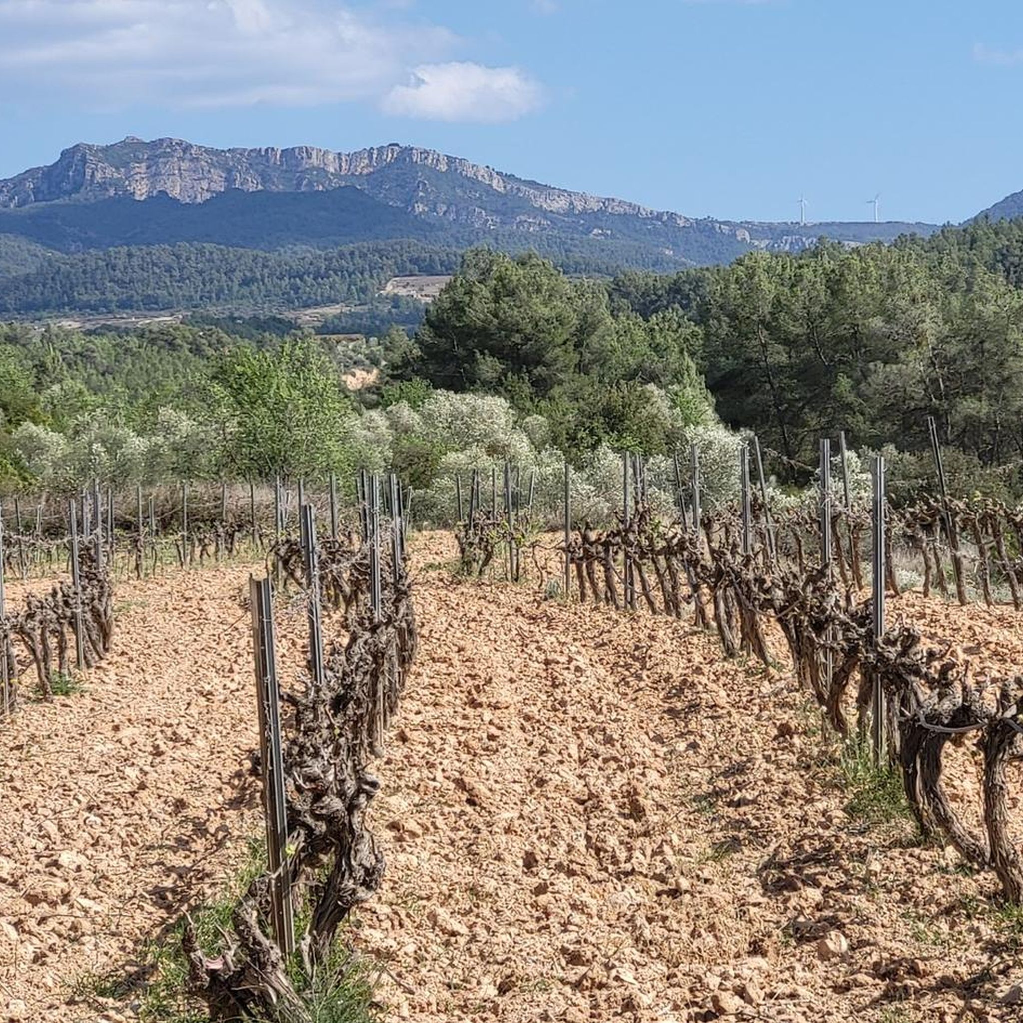
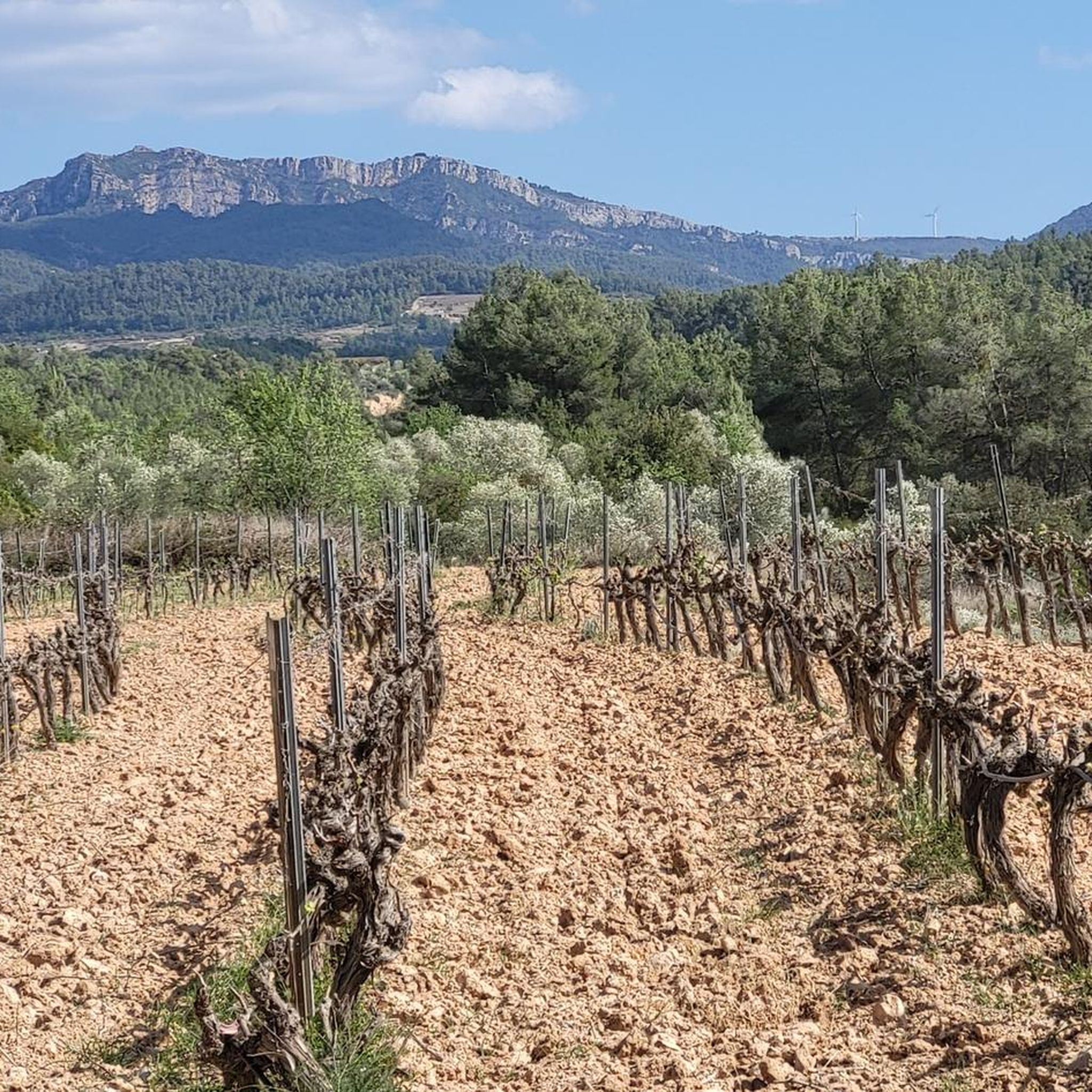
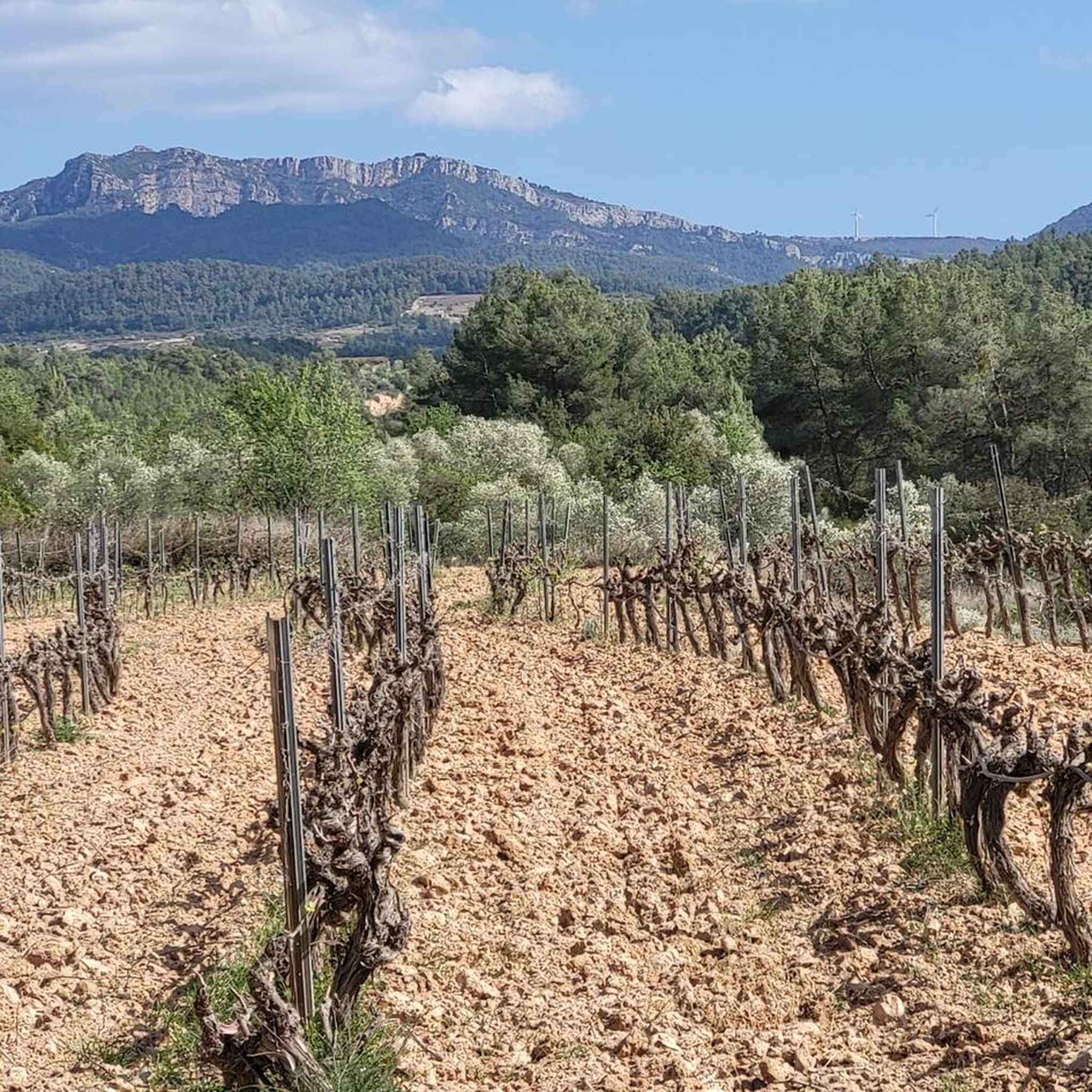
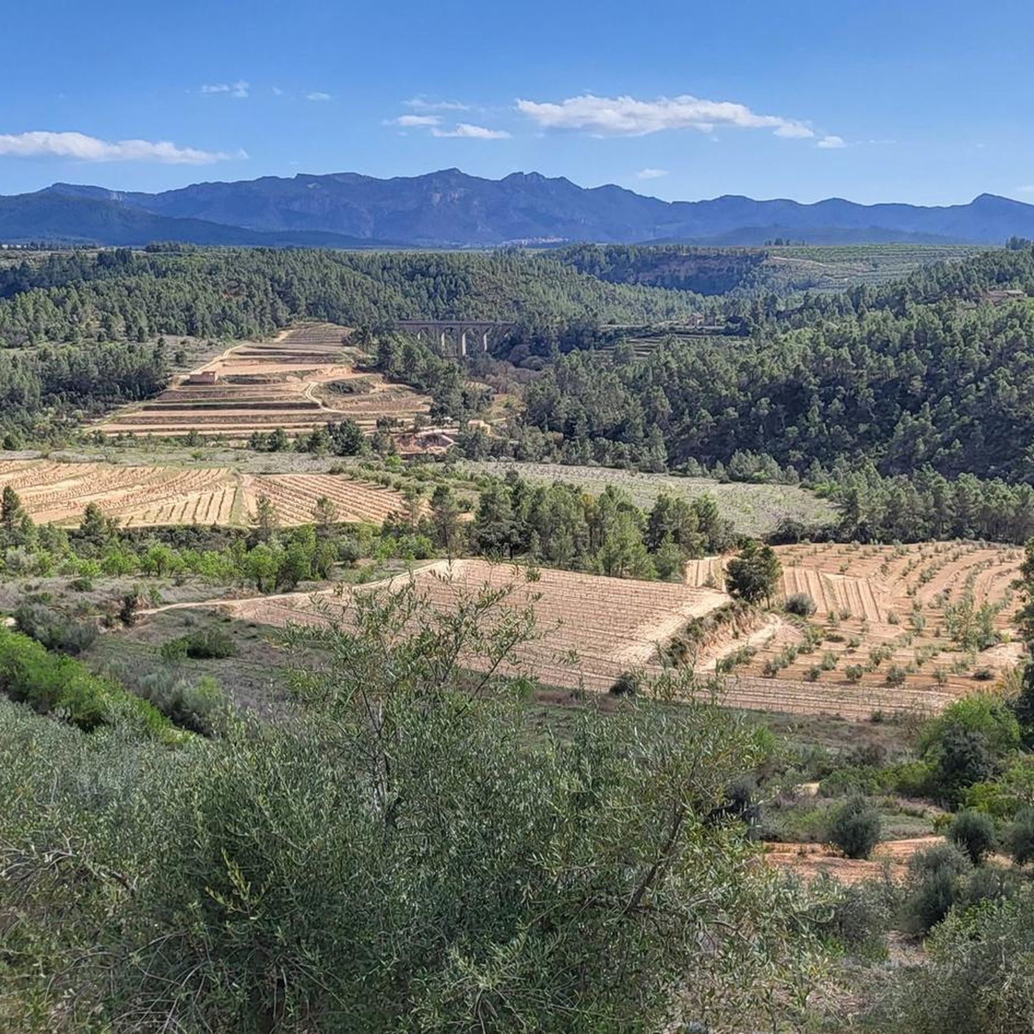
Mountain peaks near Els Guiamets are characterized by a hilly and agricultural landscape within the Priorat region. The area features a picturesque natural environment with rolling hills and vineyards. The highest point within the municipal area is La Tosseta, reaching 304 meters. The Els Guiamets Reservoir, fed by the Capçanes stream, is also a notable natural feature.
Best mountain peaks around Els Guiamets
- The most popular mountain peak is La Miranda (918 m), a summit that offers expansive views. It is worth visiting for the walk in the Cadenas pass and the landscapes of the Serra de Llaberia and the coast.
- Another must-see spot is La Mola Castle, Colldejou, a castle and summit. This challenging route requires good condition and sturdy footwear, offering wonderful nature and historical significance.
- Visitors also love Mont-Redon Summit, an intermediate summit and viewpoint. This mountain, located near Pratdip, provides stunning views of the coast and the city of Tarragona.
- Els Guiamets is known for its summits, viewpoints, and historical sites. The region offers a variety of mountain peaks and elevated points to see and explore.
- The mountain peaks around Els Guiamets are appreciated by the komoot community, with 72 upvotes and 57 photos shared by visitors.
Last updated: May 23, 2026
La Mola Castle, Colldejou
Highlight • Castle
Translated by Google •
Tip by

Mont-Redon Summit
Highlight • Summit
Translated by Google •
Tip by

Sign up now to discover places like this
Get recommendations on the best single tracks, peaks, & plenty of other exciting outdoor places.
Sign up for free
La Miranda (918 m)
Highlight • Summit
Translated by Google •
Tip by

Bassot de la Mola
Highlight • Lake
Translated by Google •
Tip by

Start today with a free account
Your next adventure awaits.
Login or Signup

Tips from the Community

Mont-Redon is a mountain located near Pratdip, in the Sierra de Llaberia, Catalonia. It's a popular destination for hiking and mountaineering enthusiasts due to its stunning views and challenging routes.
8
0

From up here you have a beautiful view.
0
0

Located in the highest part of the Mola de Colldejou and just a few meters from the castle, the view reaches the coast of Cambrils. You can also see the impressive Llaberia mountain range and the Pradell-L'Argentera mountain ranges.
1
0

Mont-redon is a mountain of 864 meters with good views of the coast and the city of Tarragona and Baix camp. Spectacular view of the surrounding cliffs
0
1

The stone tower was built during the third Carline war and was used for optical telegraphy in a very similar way to the Torre de l'Esquirol de Cambrils, making use of a system of planks that could be seen from miles away .
0
0
This emblematic peak constitutes one of the landmark silhouettes that dominate the Camp de Tarragona. From the top of La Mola you will see an extensive territory, with Ufan meadows grateful for the herds, and the remains of a communications tower, the castle of La Mola, built at the time of the Carline wars (19th century). It is part of the Serra de Llaberia EIN. Together with the Tivissa-Vandellòs mountains and the Cardó massif, they form the biological corridor that connects the large natural spaces of the Prades Mountains and the Ports. There are several trails that access its summit, with an altitude of 914 meters. In 2000, the installation of a wind farm was planned there. Fortunately, strong opposition from the people of the territory prevented it. Therefore, in this case we can say that the fight was a success.
1
1

If you hit the grindstone, be sure to see the grindstone cave
5
0

Thanks for the beautiful route! I would not recommend it to inexperienced hikers, some sections were difficult.
4
1
Frequently Asked Questions
What are the most notable peaks and viewpoints around Els Guiamets?
While Els Guiamets itself is characterized by rolling hills, the surrounding area offers several significant peaks and viewpoints. You can explore Mont-Redon Summit, known for its stunning views of the coast and Tarragona, or ascend to La Miranda (918 m) for expansive landscapes of the Sierra de Llaberia. Another excellent spot is Bassot de la Mola, offering views stretching to the coast of Cambrils and the Llaberia mountain range.
Are there any historical sites on the peaks near Els Guiamets?
Yes, the area features historical elements. For instance, La Mola Castle, Colldejou, is a historical site located on a peak. Visitors often combine the challenging hike to the castle with exploring the nearby grindstone cave.
What is the difficulty level of hiking to these peaks?
The peaks around Els Guiamets offer a range of difficulties. Highlights like La Mola Castle, Colldejou and Mont-Redon Summit are considered challenging, often requiring good physical condition and sturdy, non-slip footwear due to difficult sections. Other spots like La Miranda (918 m) and Bassot de la Mola are rated as intermediate.
What outdoor activities can I do near the mountain peaks around Els Guiamets?
Beyond peak bagging, the region around Els Guiamets is excellent for various outdoor activities. You can find numerous MTB Trails, Running Trails, and Road Cycling Routes that traverse the scenic landscape of rolling hills and vineyards. The Els Guiamets Reservoir is also ideal for leisurely walks and enjoying nature.
What is the best time of year to visit the peaks around Els Guiamets?
The region's climate makes spring and autumn ideal for hiking and exploring the peaks. During these seasons, temperatures are milder, and the natural scenery, including vineyards, is particularly beautiful. Summer can be hot, but the Els Guiamets Reservoir offers opportunities to cool off.
Are there family-friendly hiking options near Els Guiamets?
While some peaks are challenging, the overall landscape around Els Guiamets, with its rolling hills and the serene reservoir, offers opportunities for leisurely walks suitable for families. Look for routes that connect the village with neighboring towns, which tend to be less strenuous than direct peak ascents.
What natural features can I expect to see when visiting the peaks?
You'll encounter diverse natural features, from the 'abrupt' relief of the municipality with its numerous ravines to the expansive views from summits like Mont-Redon Summit and La Miranda (918 m). The Els Guiamets Reservoir is a significant natural attraction, perfect for observing native birds and local flora.
What do visitors enjoy most about exploring the peaks in this region?
Visitors frequently highlight the stunning panoramic views from the summits, especially those reaching the coast and the surrounding mountain ranges like Serra de Llaberia. The sense of accomplishment from challenging hikes, the immersion in nature, and the unique landscapes, including vineyards and historical sites like La Mola Castle, are often mentioned as key attractions.
Is public transport available to reach hiking areas near Els Guiamets?
Information on specific public transport routes directly to trailheads for the higher peaks is limited. It is generally recommended to use personal transport to access the starting points for hikes in the Serra de Llaberia and Serra de Montsant areas, as these are often more remote. The village of Els Guiamets itself is accessible, but onward travel to specific mountain trails might require a car.
What should I bring for a hike to the peaks around Els Guiamets?
Given the challenging nature of some routes, it's essential to bring sturdy, non-slip footwear. Water, snacks, sun protection, and appropriate clothing layers are also recommended. For longer or more difficult hikes, consider a map or GPS device, especially as some sections can be demanding.
Most popular routes around Els Guiamets
Most popular attractions around Els Guiamets

Get inspired with the komoot mobile app


Explore more
See even more amazing summits around Els Guiamets with these guides:
