The 5 Most Amazing Peaks around Ibeas De Juarros
Best mountain peaks around Ibeas De Juarros are primarily defined by the Sierra de Atapuerca, a karstic hill formation recognized as a UNESCO World Heritage site for its archaeological importance. This region offers a unique blend of natural landscapes and insights into human history, with its highest points reaching around 1,080 meters above sea level. The area is renowned for rich fossil deposits and stone tool assemblages, providing data on early hominin residents in Western Europe. Visitors can explore diverse…
Last updated: July 4, 2026
Matagrande Cross
Highlight • Monument
Translated by Google •
Tip by

Pico Mencilla
Highlight • Summit
Translated by Google •
Tip by

Sign up now to discover places like this
Get recommendations on the best single tracks, peaks, & plenty of other exciting outdoor places.
Sign up for free
Pico Encimero Geodetic Vertex
Highlight • Summit
Translated by Google •
Tip by

Alto de Gandral Geodetic Vertex
Highlight • Summit
Translated by Google •
Tip by

CabezaPlantizo
Highlight • Summit
Translated by Google •
Tip by

Sign up for free to discover even more peaks around Ibeas De Juarros.
Sign up for free
Already have an account?
Start today with a free account
Your next adventure awaits.
Login or Signup

Tips from the Community

Even though this small sacred monument isn't located on the classic route of the Way of St. James through northern Spain, in view of the summit cross standing here, some thoughts by Hape Kerkeling might be helpful as inspiration. The entertainer, who is particularly famous in Germany, walked the Camino Frances in 2001 and kept a diary, which was published under the title "Ich bin dann mal weg" (I'm off then). In it, he describes his personal encounter with God along the way as follows: "Yesterday, something inside me struck a huge gong. And the sound will reverberate. Sooner or later, this path shakes everyone to their very foundations. I know the sound will slowly fade, but if I listen carefully, I'll be able to hear this reverberation for a very long time to come."
0
0

The Alto de Gandral (1,044 m) dominates the oak forest between Hontoria de la Cantera and the famous quarries from which the stones for Burgos Cathedral, Burgos Castle and the Visigothic hermitage of Santa Maria de las Viñas were extracted.
0
0

A curious name for this peak near Campo de los Corros. There's no mailbox, but there is a large pile of stones. One of the descent/ascent trails to Pineda de la Sierra begins here.
1
1
Geodetic vertex of Encimero peak (1077 meters) good views of Espinosa de Juarros and its quarry.
0
0
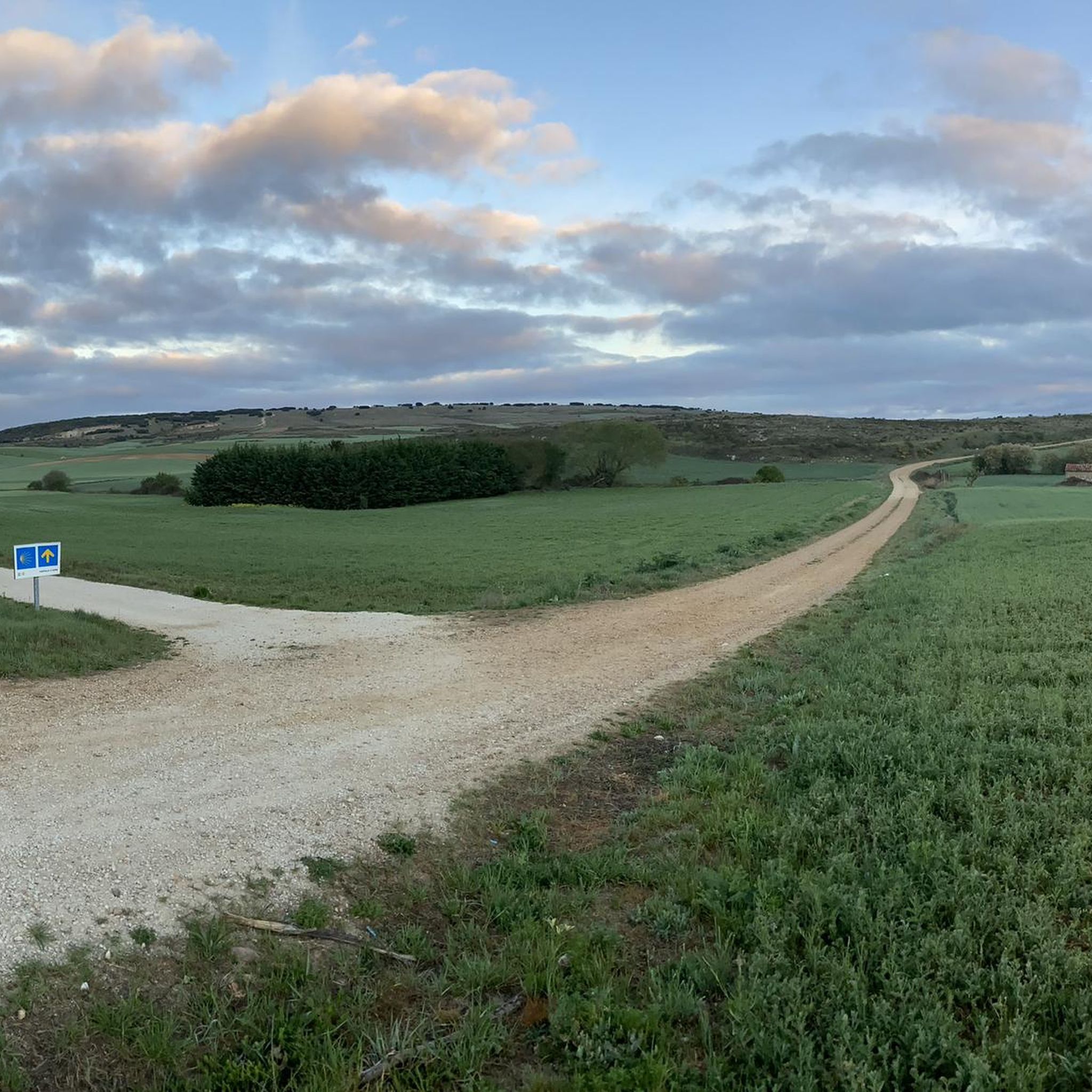
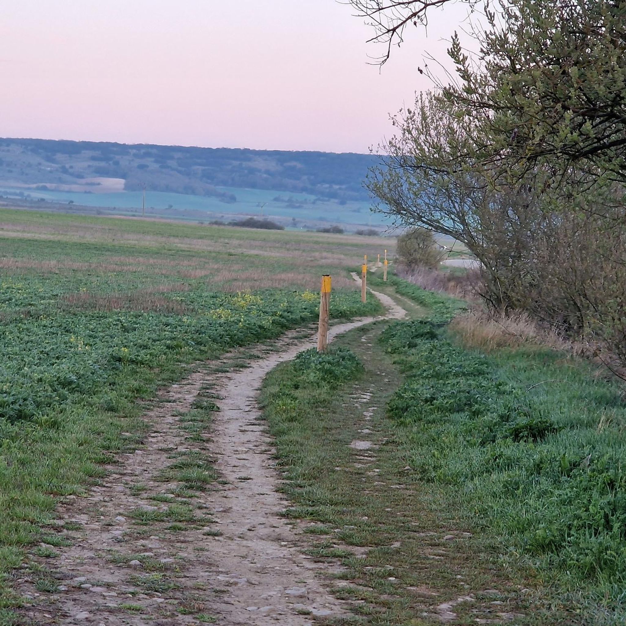
Cross located on the rock of Matagrande, at 1082 metres above sea level, right on the Camino de Santiago. During the Christmas season, they put up a nativity scene.
1
0
The stones piled up here at the base of the wayside cross are reminiscent of the “CRUZ de FERRO” (iron cross) – very well known among pilgrims – on the MONTE IRAGO on the “Camino Frances” (in Astorga, province of Leon). Many pilgrims who set out on the Way of St. James take a stone with them and place it there (or even here). Such a stone symbolizes the burdens and needs of the pilgrims (or their family members and friends at home), who symbolically cast off their worries at this point with the stone and can thus move on free of them. The CRUZ DE FERRO is available on komoot as a cycling highlight at the following link + https://www.komoot.com/de-de/highlight/716062
3
0

It is worth visiting and spending a few minutes looking at the views, on one side the wind turbines and on the other Espinosa de Juarros with its mine.
1
0

A simple wooden cross, which is used for prayer and reflection. Stones are placed here, similar to the Cruz de Ferro
2
0
Frequently Asked Questions
What are the most notable elevated points or 'peaks' to visit around Ibeas de Juarros?
The region around Ibeas de Juarros is primarily defined by the Sierra de Atapuerca, a karstic hill formation rather than towering peaks. Notable elevated points include the Matagrande Cross, a significant landmark on the Camino de Santiago offering expansive views, and the Pico Encimero Geodetic Vertex, which provides good views of Espinosa de Juarros. Further afield, in the Sierra de la Demanda, you can find Pico Mencilla.
What makes the Sierra de Atapuerca region unique for visitors?
The Sierra de Atapuerca is a UNESCO World Heritage site renowned for its immense archaeological importance. It offers an exceptional reserve of data on early hominin residents in Western Europe, with discoveries dating back over 1.2 million years. Visitors can explore sites that provide crucial insights into human evolution, alongside its unique karstic landscapes and rich biodiversity.
Are there hiking trails available around the mountain peaks near Ibeas de Juarros?
Yes, there are numerous footpaths and cycling trails crisscrossing the municipality and its surroundings. The Camino de Santiago runs through the area, and you can find routes like the greenway along the former Demanda railway line, the Mine Trail, and the Springs Route. For more detailed options, explore the Hiking around Ibeas De Juarros guide, which includes trails like El Cid's Exile Trail and the Juarros Mining Trail.
What kind of views can I expect from the elevated points in the region?
From elevated points like the Matagrande Cross, you can expect expansive panoramic views of the surrounding landscape, including the village of Atapuerca and potentially Burgos in the distance. The Pico Encimero Geodetic Vertex offers views of Espinosa de Juarros and its quarry, while Pico Mencilla provides vistas of Pico Trigaza and San Millan.
Are there any family-friendly hiking options in the Ibeas de Juarros area?
The region offers a variety of trails, including some that are suitable for families. While specific 'family-friendly' categories aren't always assigned to individual peaks, many of the footpaths and greenways, such as sections of the Camino de Santiago or the former Demanda railway line, offer easier terrain. For specific routes, check the Hiking around Ibeas De Juarros guide, which lists routes with varying difficulty grades, including easy options like the Carrascal Cave – Cueva Carrera loop.
What is the highest point near Ibeas de Juarros?
The highest points within the Sierra de Atapuerca, which defines the region around Ibeas de Juarros, reach around 1,080 meters (3,540 ft) above sea level. The Matagrande Cross is noted at 1082 meters, making it one of the significant high points in the immediate vicinity.
Can I bring my dog on the trails around Ibeas de Juarros?
Generally, many outdoor trails in Spain are dog-friendly, especially in natural areas like the Sierra de Atapuerca. However, it's always recommended to keep dogs on a leash and adhere to local regulations, particularly around archaeological sites or protected natural areas. Always ensure your dog is well-behaved and that you clean up after them.
What other outdoor activities are available besides hiking?
Beyond hiking, the area around Ibeas de Juarros is excellent for cycling. You can explore various routes for gravel biking and road cycling. Check out the Gravel biking around Ibeas De Juarros guide or the Road Cycling Routes around Ibeas De Juarros guide for detailed routes and difficulty levels.
What is the best time of year to visit the mountain peaks and trails?
The region can be enjoyed throughout much of the year. Spring and autumn offer pleasant temperatures for hiking and cycling, with vibrant natural scenery. Summer can be warm, so early morning or late afternoon activities are recommended. Winter can bring colder temperatures, but the trails remain accessible for those prepared for the conditions.
Are there any historical landmarks or archaeological sites to visit directly on or near the elevated points?
While the elevated points themselves might not host archaeological digs, the entire Sierra de Atapuerca is an archaeological treasure. The karstic landscape has preserved numerous caves where significant hominin fossils and tools have been found. The nearby Museum of Human Evolution in Burgos exhibits many of these finds, and the Emiliano Aguirre Archaeology Centre in Ibeas de Juarros further complements the experience. The Matagrande Cross is a historical landmark for pilgrims on the Camino de Santiago.
What kind of natural features can I observe while exploring the area?
The Sierra de Atapuerca features a unique karstic landscape with limestone formations and a system of caves. The area also boasts rich biodiversity due to the conjunction of different ecosystems, including oak forests, as seen near the Alto de Gandral Geodetic Vertex. You can expect varied terrain, including dolines and structural platforms, making it interesting for nature observation.
Where can I find parking for hiking trails in the Ibeas de Juarros area?
Parking is generally available in or near the villages that serve as starting points for trails, such as Ibeas de Juarros itself or Atapuerca. Specific parking information for individual trailheads can often be found on detailed route descriptions within the komoot guides for hiking or cycling in the region.
What do visitors enjoy most about the mountain peaks and trails around Ibeas de Juarros?
Visitors particularly appreciate the unique combination of outdoor activity and profound historical discovery. The opportunity to walk through landscapes that hold evidence of human evolution, coupled with panoramic views from points like the Matagrande Cross, makes for a rewarding experience. The diverse trails cater to various interests, from challenging hikes to more leisurely walks, all set within beautiful scenery.
Most popular routes around Ibeas De Juarros
Most popular attractions around Ibeas De Juarros

Get inspired with the komoot mobile app


Explore more
See even more amazing summits around Ibeas De Juarros with these guides:
