The 5 Most Amazing Peaks around Vinaixa
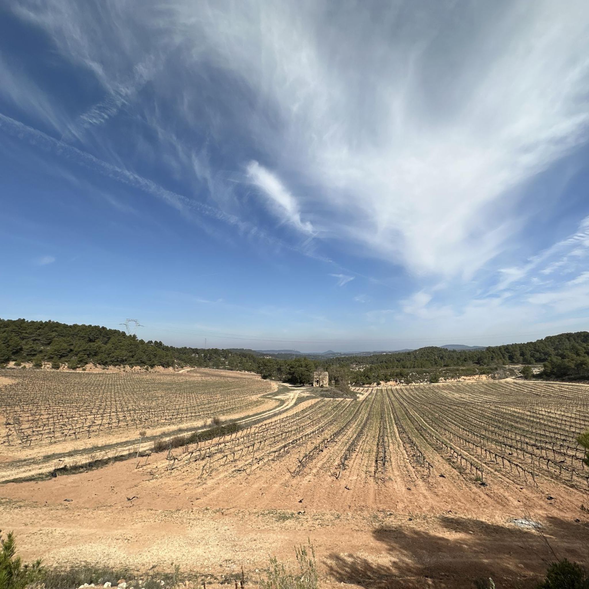
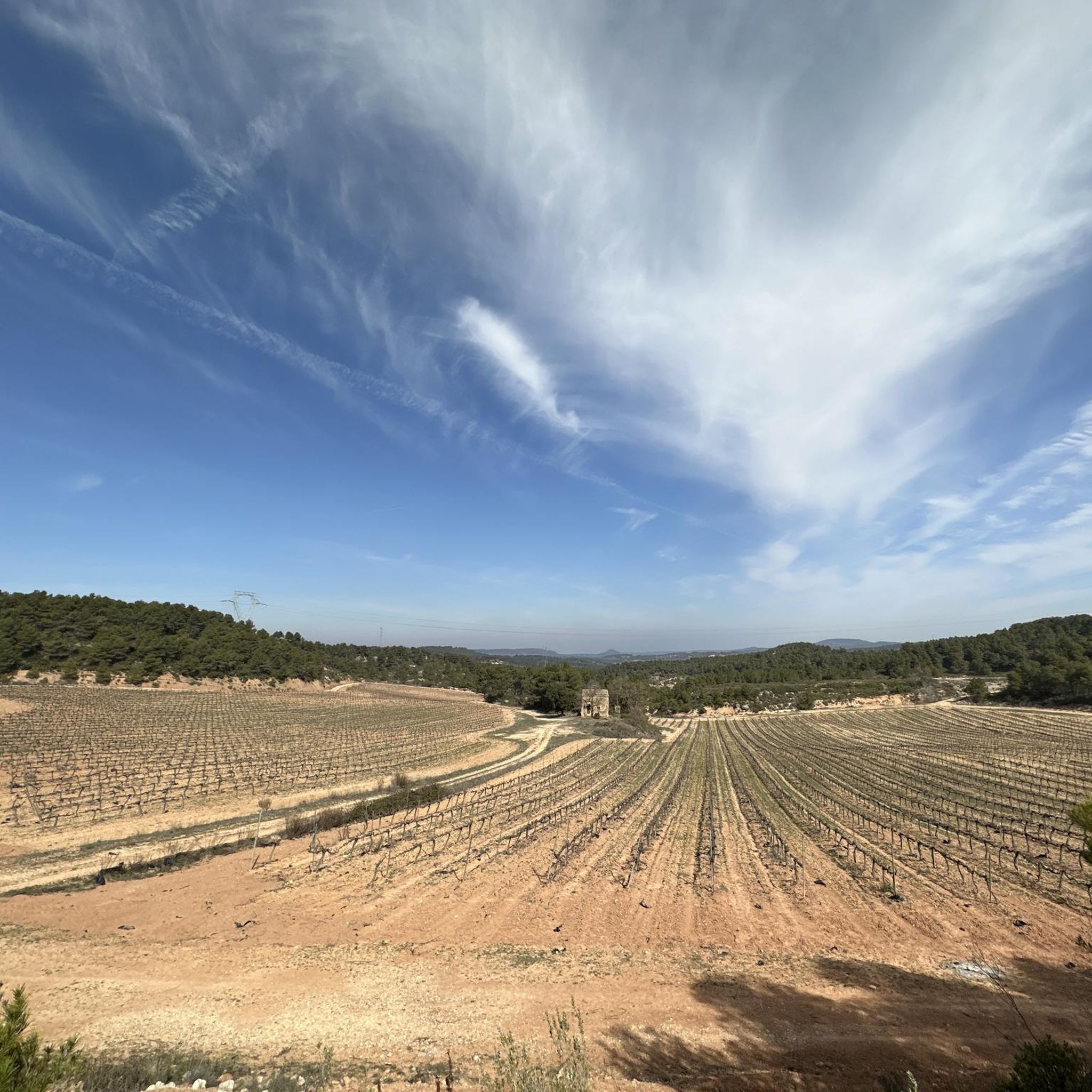
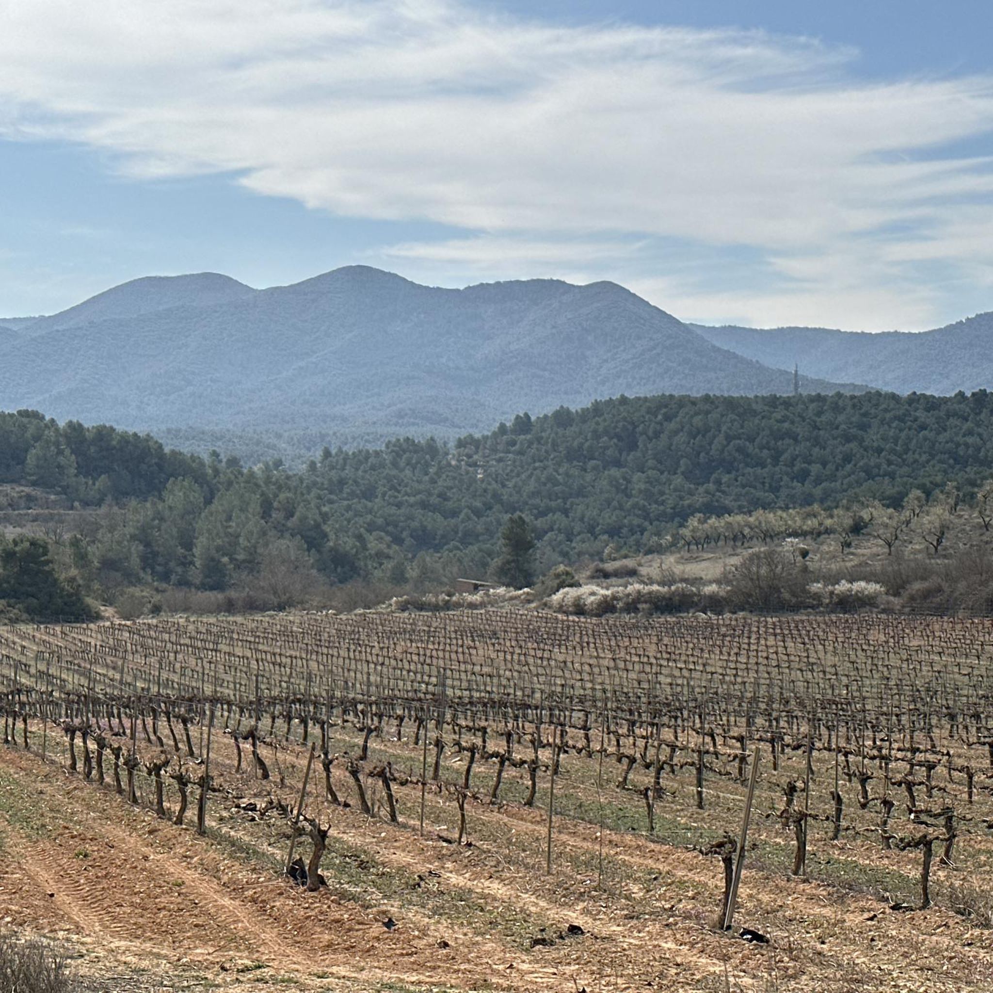
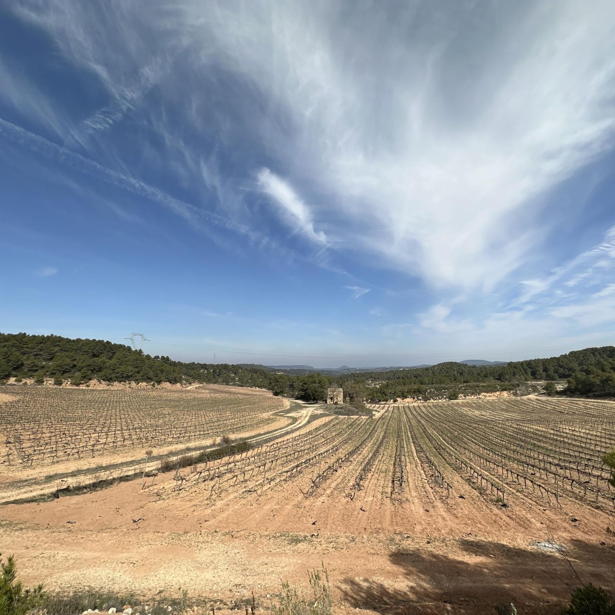
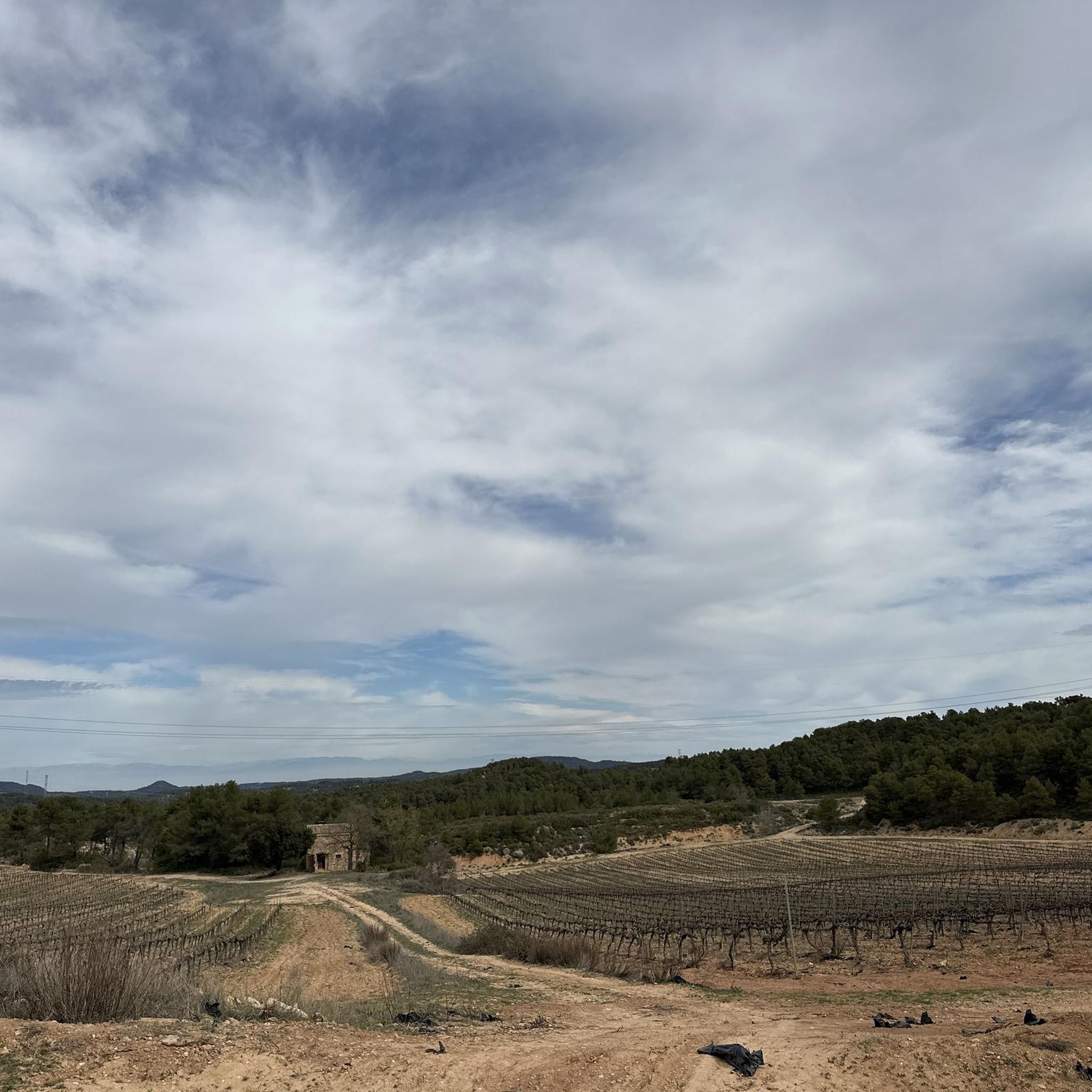
Best mountain peaks around Vinaixa are found in a region characterized by an undulating, hilly landscape with an average elevation of 533 meters. The natural surroundings are part of the Vall de Vinaixa Protected Natural Area, known for its blend of agriculture and woodland. While Vinaixa itself features small hills and valleys, the broader area offers notable summits for exploration. These peaks provide panoramic views of the surrounding Catalan landscape and diverse hiking experiences.
Best mountain peaks around Vinaixa
- The…
Last updated: May 22, 2026
Tossal de la Baltasana summit
Highlight • Summit
Translated by Google •
Tip by

Roca del Gríngol Necropolis
Highlight • Historical Site
Translated by Google •
Tip by

Sign up now to discover places like this
Get recommendations on the best single tracks, peaks, & plenty of other exciting outdoor places.
Sign up for free
Mola d'Estat
Highlight • Summit
Translated by Google •
Tip by

Pic de l'Àliga
Highlight • Viewpoint
Translated by Google •
Tip by
Tossal Gros de Vallbona
Highlight • Summit
Translated by Google •
Tip by

Start today with a free account
Your next adventure awaits.
Login or Signup

Tips from the Community

Ideal place to see the Pyrenees with clear skies, amazing.
1
0
Place with a magical touch, you can see a very positive energy. Nearby is a little-known site, where burials dating back to the 10th century were found during logging work, known as the Gringol Necropolis.
2
0

La Mola d'Estat, also known as the Mola dels Quatre Termes, is a tozal located 1117 meters high in the Prades Mountains. Marked with three crosses, from this summit, one of the highest in the nature reserve, you have fantastic views of the surroundings.
0
0

A good viewpoint where you can contemplate the Prades Mountains.
2
0
Excellent viewpoint of the Montañas de Prades buena parte of the Conca de Barberà.
3
0

The tozal Gros de Vallbona is located at 804 meters above sea level. It is the highest summit of the Urgell and offers magnificent views of the Conca de Barberà.
1
0

El Tossal de la Baltasana, better known as the Tower by the people of Prades. At the top there is a geodesic vertex, a weather vane and also a small lookout hut with signals, repeaters and a web cam/weather station. From the geodesic vertex, protruding a little from the forest, you will contemplate the views of the surroundings: you will see the village of Prades below and, beyond, the Montsant mountain range. Other peaks in the Tarragona regions can also be seen, such as the Mola de Colldejou or the antennas of the Mussara. In the background, on clear days, you might be able to see the Massif del Port. On the other side, if the sky is clear you can see the Pyrenees, from Puigmal to Mont Perdut. This peak is on the list of the 100 peaks of the F.E.E.C.
3
0

Spectacular views of the Roca de Ponent 906m and the Tossal Ras 1,098m. The trail has no exit, so you have to turn around and go back about 300m to find other trails or a couple of kms to the tracks.
1
0
Frequently Asked Questions
What are the most notable mountain peaks to explore near Vinaixa?
While Vinaixa itself is characterized by rolling hills, the broader region offers several significant peaks. One of the most prominent is Punta del Curull, the highest point in the Serra de la Llena, offering extensive panoramic views. Other popular peaks include the Tossal de la Baltasana summit, known for its views of the Pyrenees on clear days, and Mola d'Estat, one of the highest summits in the Prades Mountains.
Are there any family-friendly hiking options to mountain peaks in the Vinaixa area?
Yes, there are options suitable for families. For Punta del Curull, a route from Vilanova de Prades is described as easy enough for families with some preparation, covering about 4.3 km with 167m of elevation gain. For other easy hiking trails in the region, you can explore options listed in the Hiking around Vinaixa guide, such as the 'View of Tarrés – Toll de la gravera loop from Tarrés'.
What kind of views can I expect from the mountain peaks around Vinaixa?
The peaks in the region offer diverse and spectacular views. From Punta del Curull, you can see Vilanova de Prades and the expansive Catalan landscape. The Tossal de la Baltasana summit provides vistas of Prades, the Montsant mountain range, and on clear days, even the Pyrenees. Pic de l'Àliga offers excellent views of the Montañas de Prades and the Conca de Barberà.
Are there historical sites located on or near any of the peaks?
Yes, the Roca del Gríngol Necropolis is a notable historical site and viewpoint. It offers views of the Prades Mountains and is known for a nearby 10th-century burial site discovered during logging work, adding a unique historical dimension to your visit.
What are the best outdoor activities to do near these mountain peaks?
Beyond hiking to the summits, the area around Vinaixa offers a variety of outdoor activities. You can find numerous running trails, such as the 'Serra de la Llena loop from el Vilosell', and road cycling routes like the 'Coll de la Mola (1010 m) – Vilanova de Prades loop from Vinaixa'. For more options, explore the Hiking around Vinaixa, Running Trails around Vinaixa, and Road Cycling Routes around Vinaixa guides.
What is the highest peak in the immediate Vinaixa region?
Within the broader region, Mola d'Estat, also known as Mola dels Quatre Termes, stands at 1117 meters high in the Prades Mountains, making it one of the highest points in the nature reserve. Punta del Curull, at 1,021 meters, is the most significant peak in the nearby Serra de la Llena.
Are there any peaks recognized for their regional importance?
Yes, both Punta del Curull and the Tossal de la Baltasana summit are included in the list of '100 Cims' (100 Peaks) by the Catalan Federation of Mountaineering (FEEC), signifying their importance as regional hiking objectives.
What natural features characterize the landscape around Vinaixa's peaks?
The landscape around Vinaixa is part of the Vall de Vinaixa Protected Natural Area, known for its blend of agriculture and woodland, and its importance for species like the Bonelli's eagle. The region features small hills and valleys. The Serra de la Llena, where Punta del Curull is located, is notable for its large and rounded rocky outcrops and is part of the Catalan Pre-Coastal Range.
What do visitors particularly enjoy about the peaks and viewpoints near Vinaixa?
Visitors frequently highlight the incredible panoramic views. For instance, the Tossal de la Baltasana summit is praised for its clear-day views of the Pyrenees. The Roca del Gríngol Necropolis is appreciated for its 'magical touch' and positive energy, alongside its views of the Prades Mountains. Generally, the diverse vistas and the sense of accomplishment from reaching these summits are highly valued.
Can I find any peaks that are the highest point of a specific area?
Yes, Tossal Gros de Vallbona, at 804 meters above sea level, is the highest summit of the Urgell region and offers magnificent views of the Conca de Barberà. Additionally, Punta del Curull is the highest point of the Serra de la Llena mountain range.
Are there specific hiking trails to reach Punta del Curull?
Yes, a popular moderate hiking loop to Punta del Curull starts from El Vilosell. This loop typically covers about 13.3 kilometers with an elevation gain of approximately 480 meters, taking around 4 hours and 8 minutes to complete. Another described route from Vilanova de Prades is shorter and considered easier. You can find a 'El Vilosell – Punta Curull Summit loop from el Vilosell' in the Hiking around Vinaixa guide.
Most popular routes around Vinaixa
Most popular attractions around Vinaixa

Get inspired with the komoot mobile app


Explore more
See even more amazing summits around Vinaixa with these guides:
