The 6 Most Amazing Peaks around Quintanilla Del Coco
Best mountain peaks around Quintanilla Del Coco are characterized by a natural environment featuring hilly terrain and a notable gorge. The municipality, situated at an elevation of 947 meters above sea level, is part of the "Espacio Natural de Sabinares del Arlanza." This area offers various elevated natural features and attractions, including rocky formations and river gorges. Visitors can explore a diverse landscape that provides opportunities for hiking and appreciating the local topography.
Best mountain peaks around Quintanilla Del Coco
…Last updated: July 3, 2026
Sad Hill Cemetery
Highlight • Historical Site
Translated by Google •
Tip by

View of Peña de Carazo
Highlight • Viewpoint
Translated by Google •
Tip by

Sign up now to discover places like this
Get recommendations on the best single tracks, peaks, & plenty of other exciting outdoor places.
Sign up for free
Alto de la Cabeza Summit
Highlight • Summit
Translated by Google •
Tip by
Cerro San Cristóbal
Highlight • Summit
Translated by Google •
Tip by

La Muela
Highlight • Summit
Translated by Google •
Tip by
Sign up for free to discover even more peaks around Quintanilla Del Coco.
Sign up for free
Already have an account?
Start today with a free account
Your next adventure awaits.
Login or Signup


Tips from the Community

The fictional cemetery “Sad Hill Cemetery” was artificially created for the filming of “Two Glorious Scoundrels”. The scene of the big showdown is iconic, in which the three opponents face each other between the graves of an old cemetery in a haunting finale. The cemetery was exposed to increasing decay. A group of courageous residents polished up the cemetery in 2016 in time for the 50th anniversary of the cult western.
0
0

In this natural setting the duel of the mythical movie The Good, the Bad and the Ugly was filmed. But apart from that, as soon as you get there, the cemetery is only part of the natural beauty that that valley has.
1
0

Alto de la Cabeza is the highest point in the Ribera del Duero with its 1343 m high. The top is crowned by a metal cross.
1
0
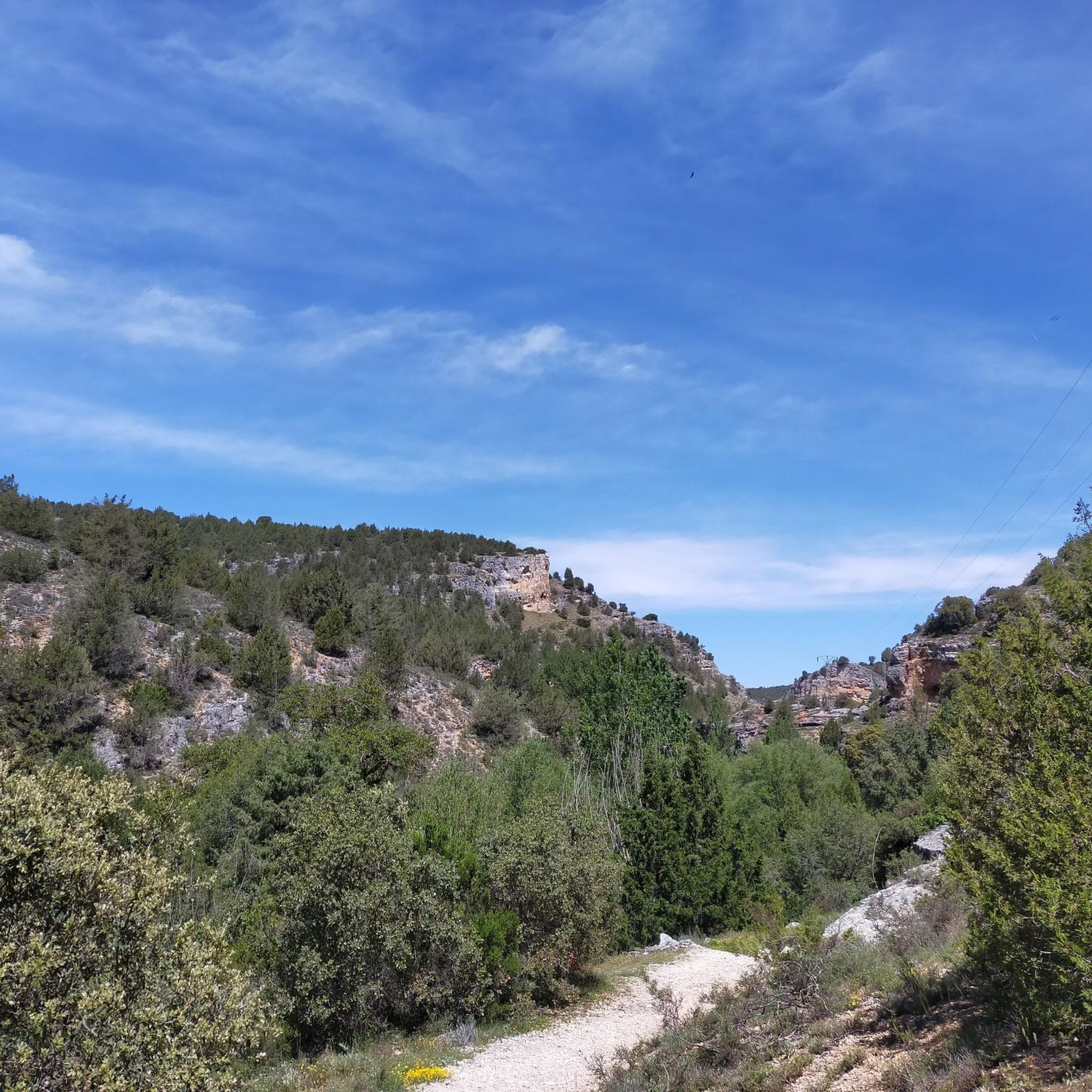
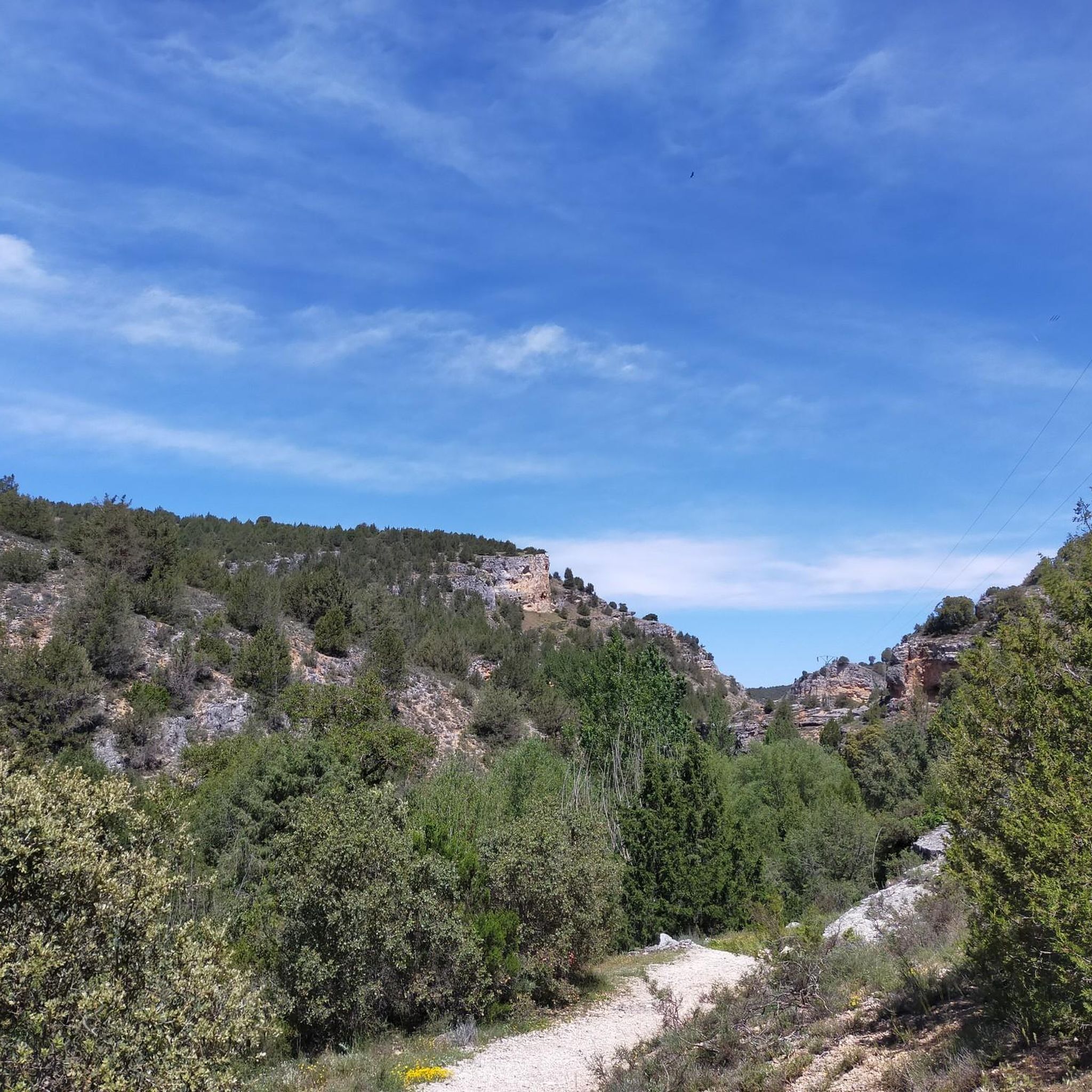
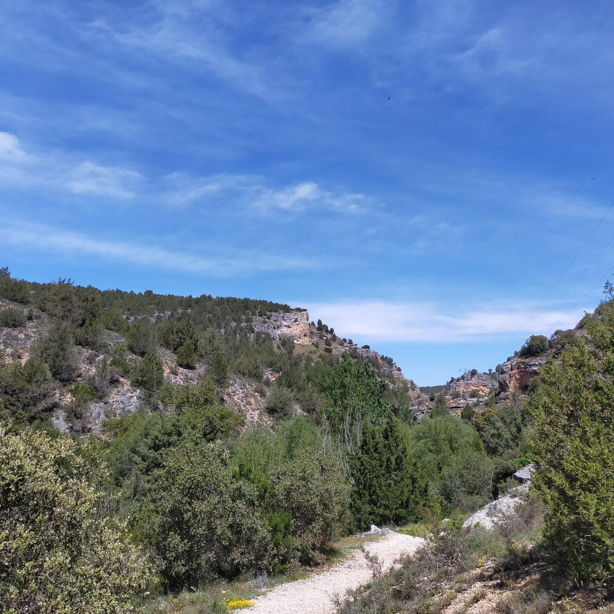
The climb can be a bit complicated, since there is no marked path, but you can always guide yourself by looking at the top. The views from the top are spectacular. To the east, the Sierra de Gayúbar, the Peña de Carazo and the Fort San Carlos; a little further, the Sierra de la Demanda and the Campiña as the most prominent peak. To the north, the Sierra del Mencilla, the Pico Trigaza, and the Sierra de Peñalara.
1
0

Santo Domingo de Silos is a town and a monastery of Benedictine monks, located in the mountains of the southeast of the province of Burgos, 57 kilometers from the capital. The town and monastery are located in the eastern part of the Tabladillo valley, at 1000 meters above sea level and surrounded by high mountains of limestone rocks, sparsely covered with holm oaks, junipers, eskenes and pines.
8
0

Sad Hill Cemetery is an iconic location built specifically for the movie "The Good, the Bad and the Ugly." Located in the Sierra de la Demanda, the cemetery was built in 1966 for the filming of the final scene of the film, where the three protagonists have their last confrontation.
1
0

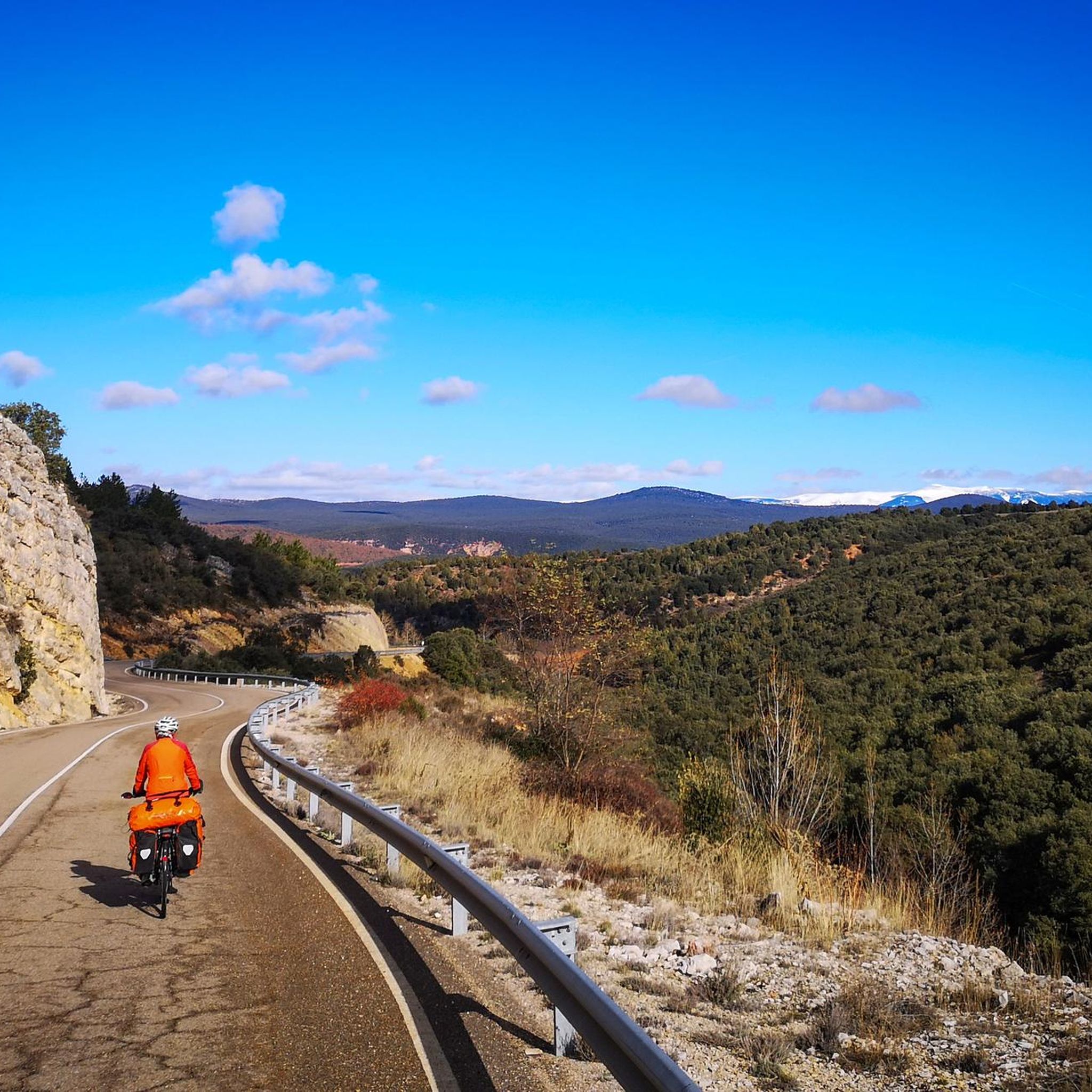
The highest mountain in the Sierra de Covarrubias and which in the winter months is covered with snow due to its height and continentality.
0
0
At the foot of the Río Mataviejas is the town of Santo Domingo de Silos. The town is beautiful and is located in a small depression between mountains, where there is a mountain to the north of the center that flags it, the Peña de Carazo.
2
0
Frequently Asked Questions
What types of elevated natural features can I explore around Quintanilla Del Coco?
The area around Quintanilla Del Coco is characterized by hilly terrain and notable gorges. You can explore rocky formations like the Peñas del Carazo, where the Mataviejas River has carved an impressive gorge. Other features include Alto de la Cabeza Summit, the highest point in the Ribera del Duero, and Cerro San Cristóbal, the highest mountain in the Sierra de Covarrubias.
Are there any historical sites or unique landmarks among the peaks?
Yes, a notable historical site is Sad Hill Cemetery. This iconic location was built in 1966 for the filming of the final scene of "The Good, the Bad and the Ugly" and has been recovered by volunteers. Additionally, the Ermita de la Virgen de las Naves, a hermitage situated on a small hill, offers a pleasant spot for relaxation and hosts an interesting pilgrimage in May.
What is the best time of year to visit the mountain peaks and natural attractions?
The best time to visit depends on your interests. For experiencing the full flow of the Cascada del Churrión waterfall, spring or autumn are ideal due to higher rainfall. If you're interested in local traditions, the pilgrimage to the Ermita de la Virgen de las Naves takes place on the second Sunday of May.
What kind of views can I expect from the elevated points in the region?
From elevated points like the View of Peña de Carazo, you can see the Mataviejas River gorge and surrounding limestone mountains. From La Muela, despite a challenging climb, the views are spectacular, encompassing the Sierra de Gayúbar, Peña de Carazo, Fort San Carlos, and further afield, the Sierra de la Demanda and Sierra del Mencilla.
Are there family-friendly options for exploring the peaks and natural areas?
Yes, Sad Hill Cemetery is categorized as family-friendly, offering a unique historical experience. Many of the trails, such as the 'Ruta de las Ermitas' or paths leading to the Cascada del Churrión, can be enjoyed by families, though some may be of moderate difficulty.
What outdoor activities are available near the mountain peaks of Quintanilla Del Coco?
The region offers diverse outdoor activities. You can find numerous routes for hiking, cycling, and gravel biking. For specific routes and more details, explore the hiking guide, cycling guide, and gravel biking guide for Quintanilla Del Coco.
Are there specific hiking trails to reach these elevated natural features?
Yes, there are several hiking trails. For instance, the 'Ruta de las Ermitas' is a circular trail of moderate difficulty. Paths also lead to the Cascada del Churrión, often accessible via a forest track from the village, passing the Ermita de la Virgen de las Naves. You can find detailed routes in the hiking guide for Quintanilla Del Coco.
What kind of wildlife can I spot around the mountain peaks?
The area is known for its natural environment, particularly the gorges and rocky formations. The Cascada del Churrión area, for example, is a natural reserve and a refuge for raptors, especially vultures, which nest in the rocks of Peña Cervera and other formations.
What is the 'Espacio Natural de Sabinares del Arlanza' and how does it relate to the peaks?
The entire municipal area of Quintanilla del Coco is included within the 'Espacio Natural de Sabinares del Arlanza.' This designation highlights the ecological value of the region, which includes the hilly terrain, gorges, and elevated features you can explore. It signifies a protected natural space rich in biodiversity.
What do visitors generally enjoy most about the mountain peaks and elevated areas here?
Visitors appreciate the diverse landscape, from the impressive gorges carved by rivers to the panoramic viewpoints. The unique blend of natural beauty and historical significance, such as Sad Hill Cemetery, is also highly valued. The komoot community has shared over 40 photos and given more than 30 upvotes, indicating a strong appreciation for the area's scenic and cultural offerings.
Are there any challenging climbs for experienced hikers?
Yes, for experienced hikers, the climb to La Muela can be quite challenging as there isn't a clearly marked path. However, the spectacular views from the top are a rewarding experience for those who undertake it.
Most popular routes around Quintanilla Del Coco
Most popular attractions around Quintanilla Del Coco

Get inspired with the komoot mobile app


Explore more
See even more amazing summits around Quintanilla Del Coco with these guides:
