Top 4 Gorges around Olmeda De Las Fuentes
Best canyons near Olmeda de las Fuentes are found in the Alcarria Madrileña region, characterized by its expansive moors and valleys carved by rivers and streams. This area offers a natural setting with lush greenery and diverse ecosystems. The Valle de Valhondo, a significant ravine, is a notable feature, historically serving as a communication channel. The landscape provides opportunities for exploring diverse natural features.
Best canyons around Olmeda De Las Fuentes
- The most popular canyons is Valhondo Valley, a…
Last updated: July 3, 2026
Valhondo Valley
Highlight • Gorge
Translated by Google •
Tip by

Geology of the Tajuña Valley Landscape
Highlight • Natural Monument
Translated by Google •
Tip by
Sign up now to discover places like this
Get recommendations on the best single tracks, peaks, & plenty of other exciting outdoor places.
Sign up for free
Valley of the Anchuelo Stream
Highlight • Gorge
Translated by Google •
Tip by
Arroyo de la Dehesilla
Highlight • River
Translated by Google •
Tip by
Start today with a free account
Your next adventure awaits.
Login or Signup
Popular around Olmeda De Las Fuentes

Ports, countryside and rivers – Tour of Madrid by road bike
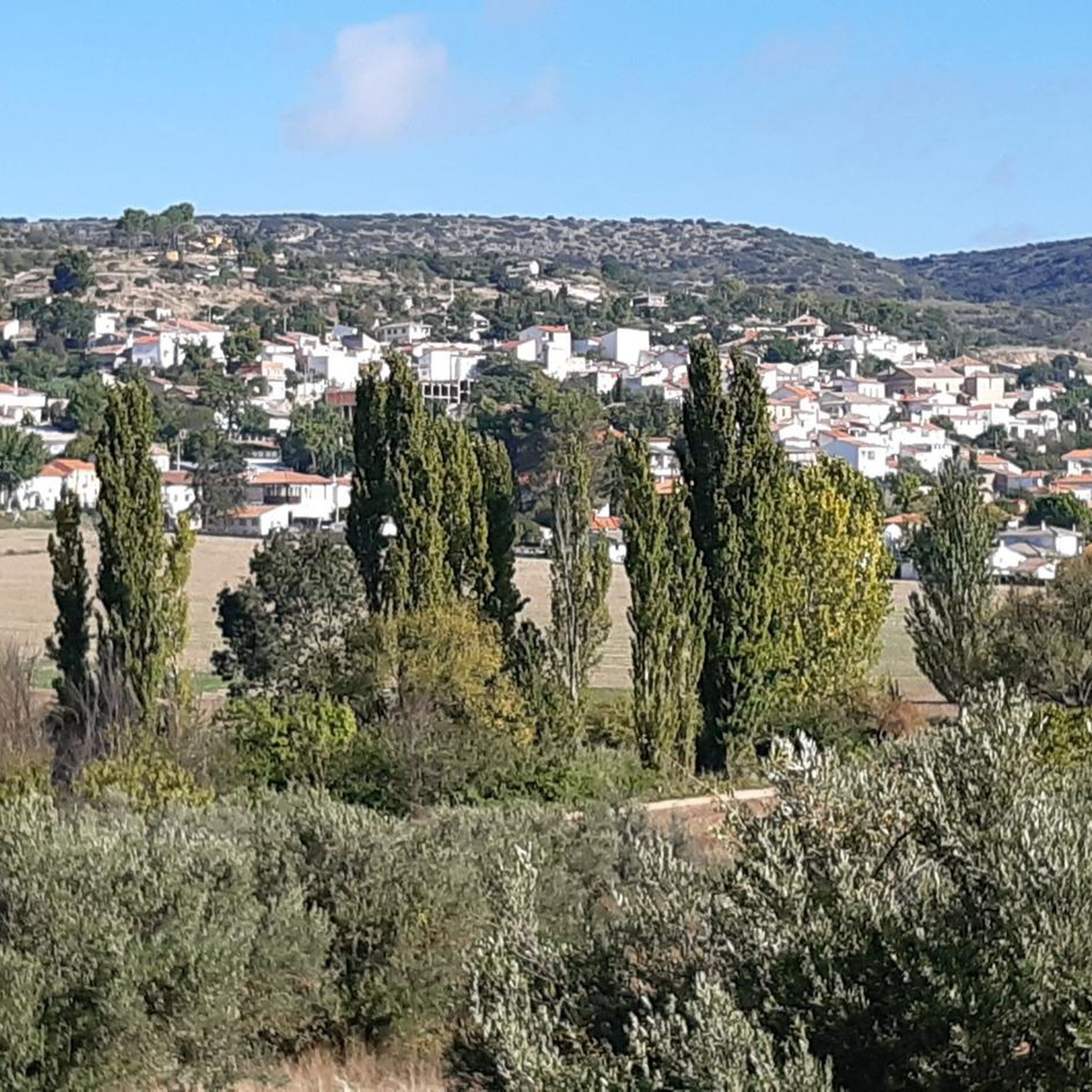
MTB Trails around Olmeda De Las Fuentes
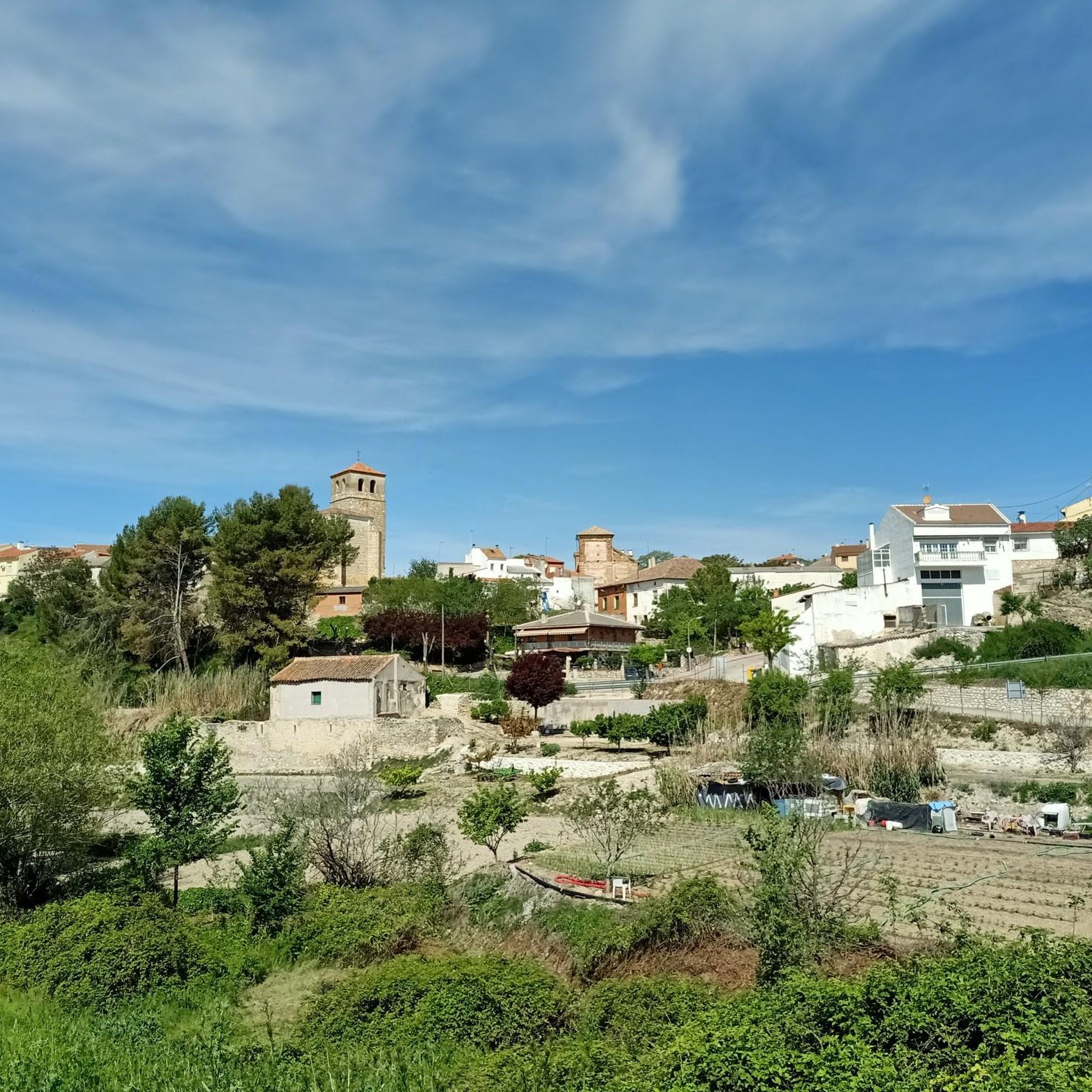
Hiking around Olmeda De Las Fuentes
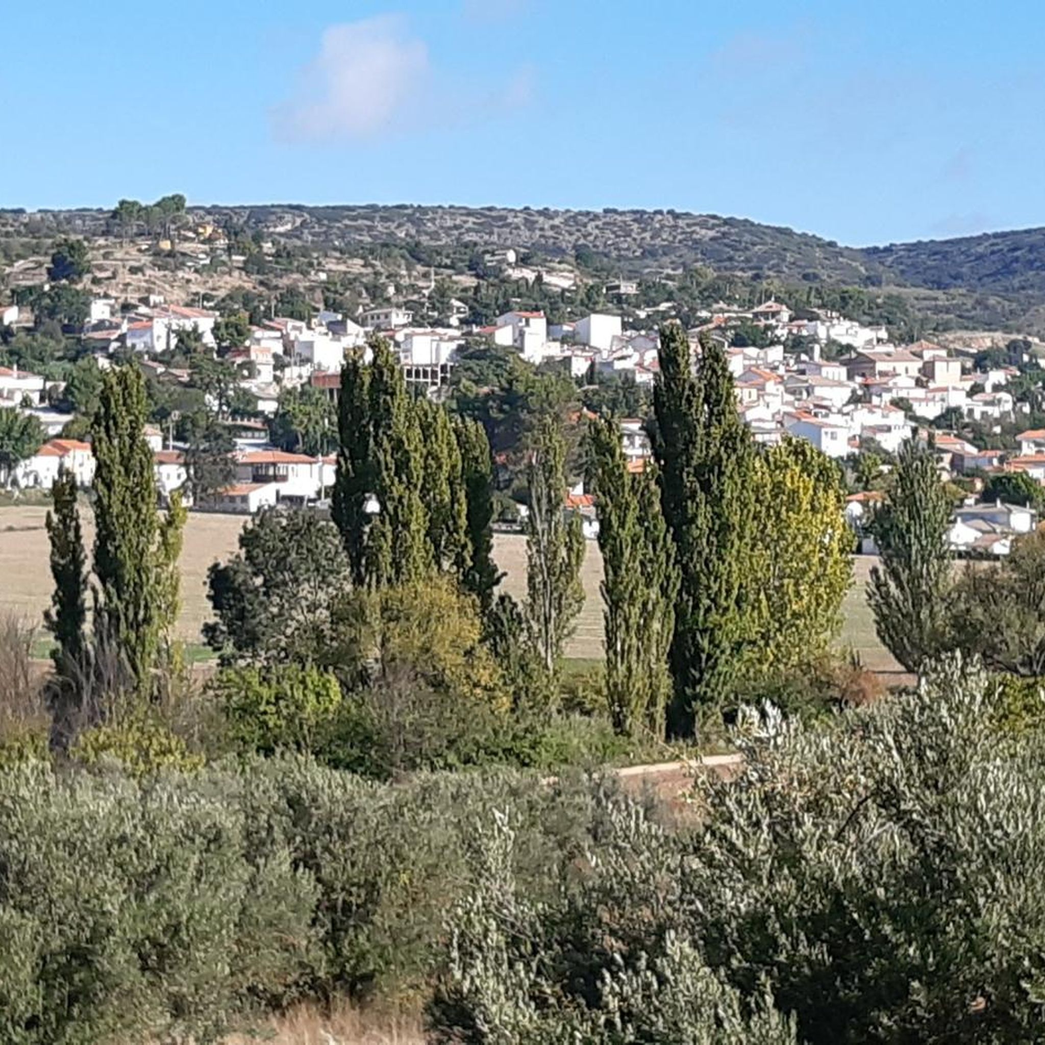
Road Cycling Routes around Olmeda De Las Fuentes
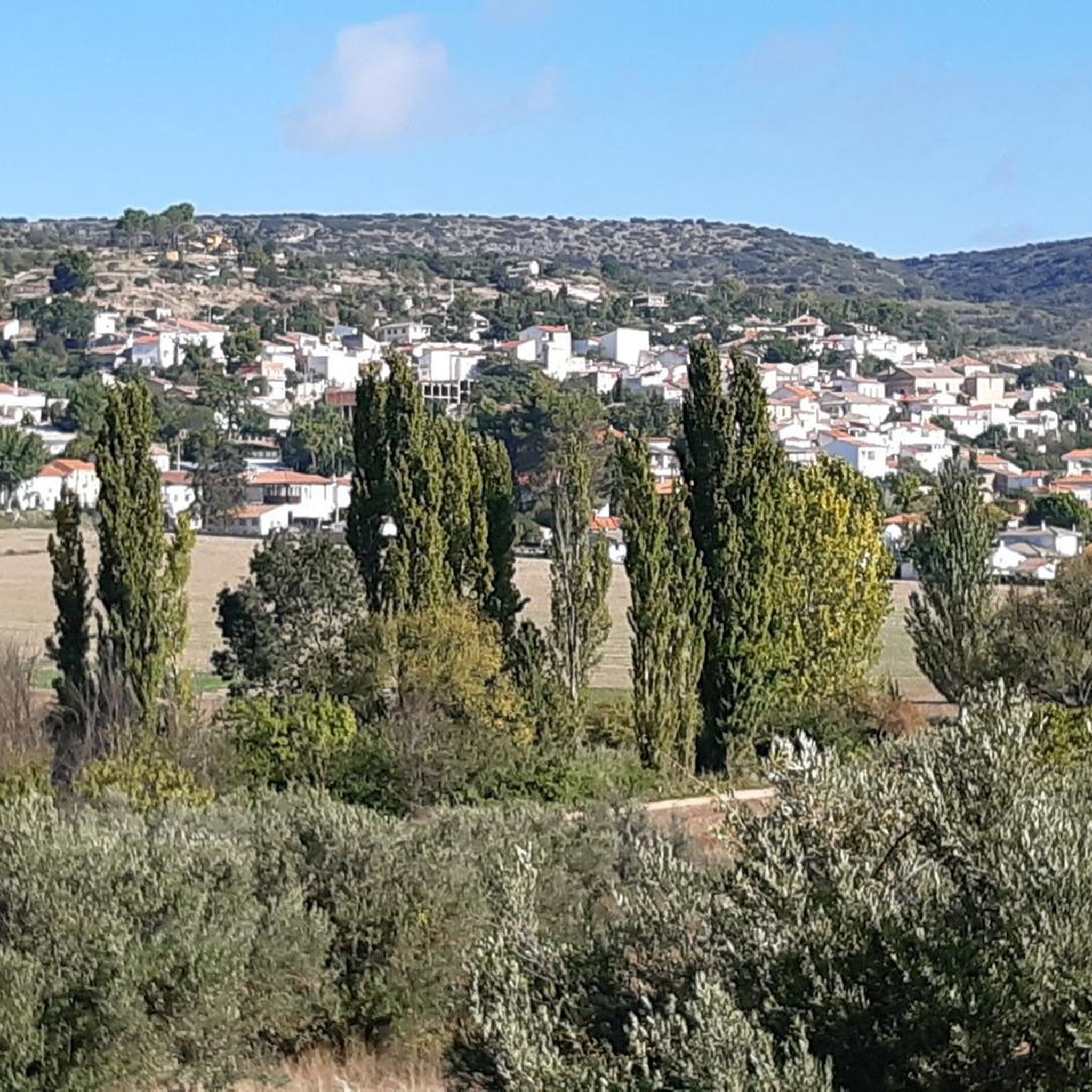
Cycling around Olmeda De Las Fuentes
Running Trails around Olmeda De Las Fuentes

Gravel biking around Olmeda De Las Fuentes
Other adventures around Olmeda De Las Fuentes

Tips from the Community

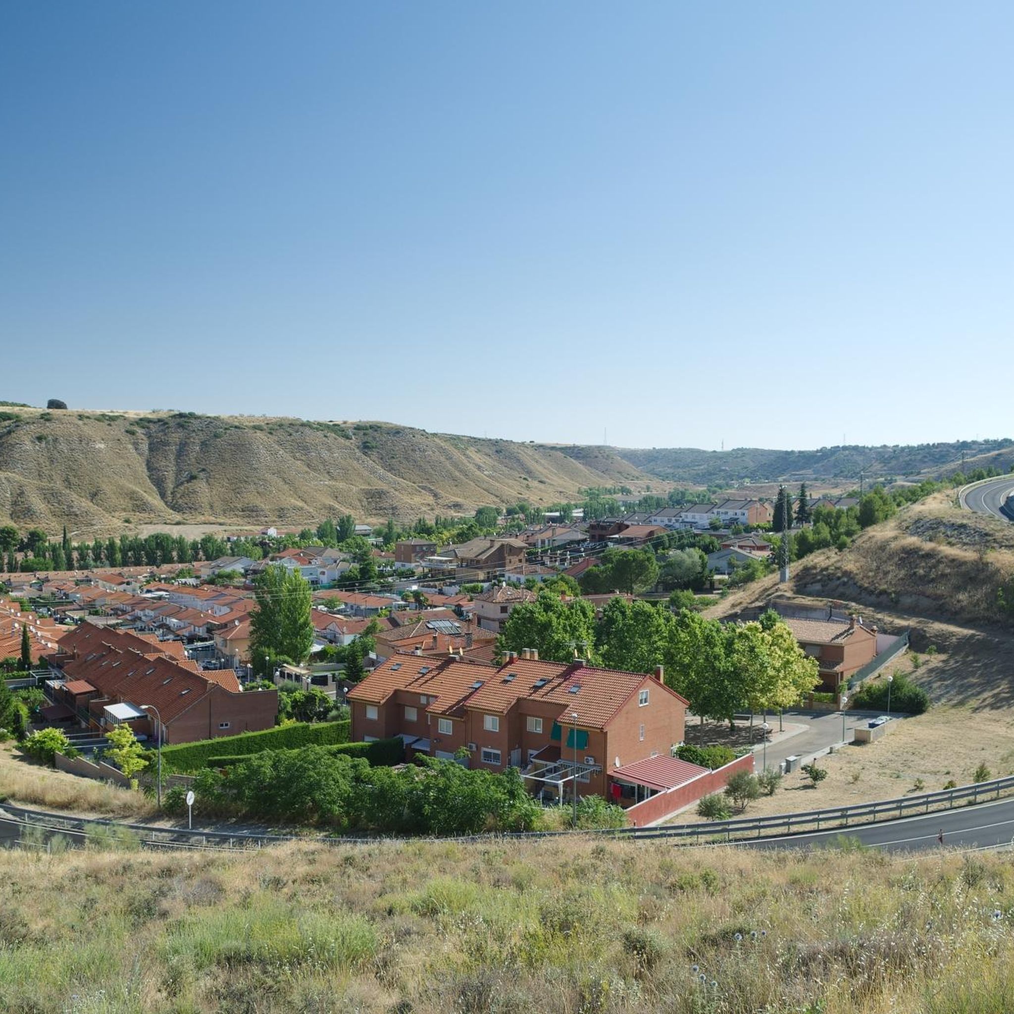
The ravine of the Valhondo stream was the usual communication channel between Pezuela de las Torres and the towns of Nuevo Baztán and Olmeda de las Fuentes, a fertile plain rich in crops and forest resources. The route reaches the area of Fuente de los Guindos, a pleasant valley of old orchards between wild hills of oaks and gall oaks, below the forest is an authentic Mediterranean forest and the stream bed moved the machinery of old flour mills and fulling mills.
0
0
The relief of the Tajuña valley is the result of a succession of horizontal sedimentation processes during cold and dry periods and a strong erosion by water and the elements, leaving the slopes with very steep slopes and devoid of vegetation, revealing the mixtures of limestone, marl, gypsum and the rest of the tertiary materials common in the relief unit of the Tajo basin.
1
0
The little valley of the Dehesilla stream transmits distance and solitude, it is a valuable portion of wild mountain hidden and concealed between the slopes of the moor and the cliffs that form the natural cirque of the ravine, the most striking being the Risco de la Dehesilla, in the steepest area of the limestone walls.
0
0
The valley of the Anchuelo stream is a natural communication channel between the Henares river valley and La Alcarria in Madrid, a fertile and resource-rich plain that has been guarded for centuries by small fortresses, since Islamic times, when the fortified town of Alcalá la Vieja was a strategic step on the route between Toledo and Zaragoza, on the middle border of al-Andalus.
0
0
Frequently Asked Questions
What are the most notable canyons and valleys to explore around Olmeda de las Fuentes?
The region around Olmeda de las Fuentes is characterized by its sculpted valleys and natural beauty. A prominent feature is the Valhondo Valley, a significant ravine formed by the Valhondo stream, known for its fertile plains, forest resources, and historical importance as a communication channel. Another notable area is the Geology of the Tajuña Valley Landscape, which offers stunning geological formations and viewpoints. You can also explore the Valley of the Anchuelo Stream, a natural communication channel with historical significance, and the secluded Arroyo de la Dehesilla, a wild mountain area hidden between moorland and cliffs.
What kind of natural features can I expect to see in the canyons near Olmeda de las Fuentes?
The canyons and valleys in this area showcase diverse natural features. In the Valhondo Valley, you'll find fertile plains, old orchards, wild oak and gall-oak trees, and an authentic Mediterranean forest along the streambed. The Tajuña Valley Landscape reveals striking geological formations, including steep slopes of limestone, marl, and gypsum, resulting from ancient sedimentation and erosion processes. The Arroyo de la Dehesilla features dramatic cliffs, such as the Risco de la Dehesilla, and a wild, hidden mountain environment.
Are there historical or cultural points of interest within these canyons?
Yes, several canyons in the region hold historical significance. The Valhondo Valley historically served as a vital communication channel and contains remnants of old flour and fulling mills that once harnessed the stream's power. Similarly, the Valley of the Anchuelo Stream was a natural communication route and has been guarded by small fortresses since Islamic times, highlighting its strategic importance in the past.
What is the best time of year to visit the canyons around Olmeda de las Fuentes?
The region's lush greenery and diverse ecosystems suggest that spring and autumn would be ideal for visiting. During these seasons, the weather is typically mild, making hiking and exploration more comfortable, and the natural landscapes are at their most vibrant. Summer can also be pleasant, especially in areas with shade from the Mediterranean forest, but it's advisable to start early to avoid the midday heat.
Are there family-friendly options for exploring the canyons?
While specific 'family-friendly' categories aren't listed for the canyons themselves, the general nature of the valleys, with their trails and natural beauty, can be suitable for families. The Valhondo Valley, with its old orchards and Mediterranean forest, offers a tranquil environment for walks. When planning a family outing, consider the 'intermediate' difficulty ratings of many trails and choose routes that match your family's fitness level. Always check local conditions before heading out.
What outdoor activities can I do near the canyons of Olmeda de las Fuentes?
Beyond exploring the canyons themselves, the area around Olmeda de las Fuentes offers a variety of outdoor activities. You can find numerous hiking trails, such as the moderate 'Villar del Olmo y el Monte del Señor' or the 'Viewpoint Route – El Balconcillo Viewpoint loop'. For cycling enthusiasts, there are gravel biking routes like the 'Church of Santorcaz – Puerta de la Cadena loop' and road cycling options. You can find more details on these activities and routes in the dedicated guides for hiking, gravel biking, and road cycling around Olmeda de las Fuentes.
Are there specific hiking trails that lead through or offer views of these canyons?
Yes, several hiking opportunities allow you to experience the canyons. The Valhondo Valley is highly recommended for hiking, offering paths through its diverse ecosystem. The Geology of the Tajuña Valley Landscape is a natural monument and viewpoint, providing excellent vistas of the valley's relief. Many trails in the region are rated as intermediate difficulty, offering a good challenge for hikers. For detailed routes, refer to the hiking guide for Olmeda de las Fuentes.
What is the typical terrain difficulty for hiking in the canyons around Olmeda de las Fuentes?
The terrain in the canyons and valleys around Olmeda de las Fuentes is generally rated as intermediate difficulty. This means you can expect varied paths that may include some ascents, descents, and uneven surfaces. For example, the Valhondo Valley and Tajuña Valley Landscape are both categorized as intermediate. Hikers should be prepared for trails that offer a moderate challenge, suitable for those with some hiking experience.
Are there any specific viewpoints or landmarks to look out for in the canyons?
Absolutely. The Geology of the Tajuña Valley Landscape is itself a natural monument and a prime viewpoint, offering panoramic views of the valley's unique geological formations. Within the Valhondo Valley, the area around Fuente de los Guindos is a pleasant hollow with ancient orchards. In the Arroyo de la Dehesilla, the Risco de la Dehesilla stands out as a striking cliff within the natural cirque of the ravine.
What makes the canyons around Olmeda de las Fuentes unique?
The canyons and valleys in this region are unique due to their blend of natural splendor and historical depth. They are characterized by expansive moors, lush greenery, and rich biodiversity, offering a serene escape. Beyond their natural beauty, many, like the Valhondo Valley and Valley of the Anchuelo Stream, served as vital communication channels and bear remnants of past human activity, such as old mills and fortresses. This combination allows visitors to immerse themselves in both a preserved natural environment and a rich cultural history.
Are there any permits required for hiking or exploring the canyons?
Based on available information, there are no specific permits mentioned as being required for general hiking or exploring the natural canyons and valleys around Olmeda de las Fuentes. However, it's always good practice to respect private property, stay on marked trails where applicable, and be mindful of local regulations, especially concerning nature conservation. If you plan any specialized activities like canyoning, it's advisable to check with local authorities or guide services for any specific requirements.
Most popular routes around Olmeda De Las Fuentes
Most popular attractions around Olmeda De Las Fuentes

Get inspired with the komoot mobile app


Explore more
Already discovered everything in this region? See additional gorges around Olmeda De Las Fuentes for your next adventure:
