The 6 Most Amazing Peaks around Rugat
Best mountain peaks around Rugat. Rugat, a municipality in Valencia, Spain, is characterized by its natural landscape of rolling hills and foothills of the Sierra de Benicadell. This region offers opportunities for hiking and enjoying the natural world amidst traditional scenery. It is an ideal destination for those seeking peaceful natural surroundings and rural tourism.
Best mountain peaks around Rugat
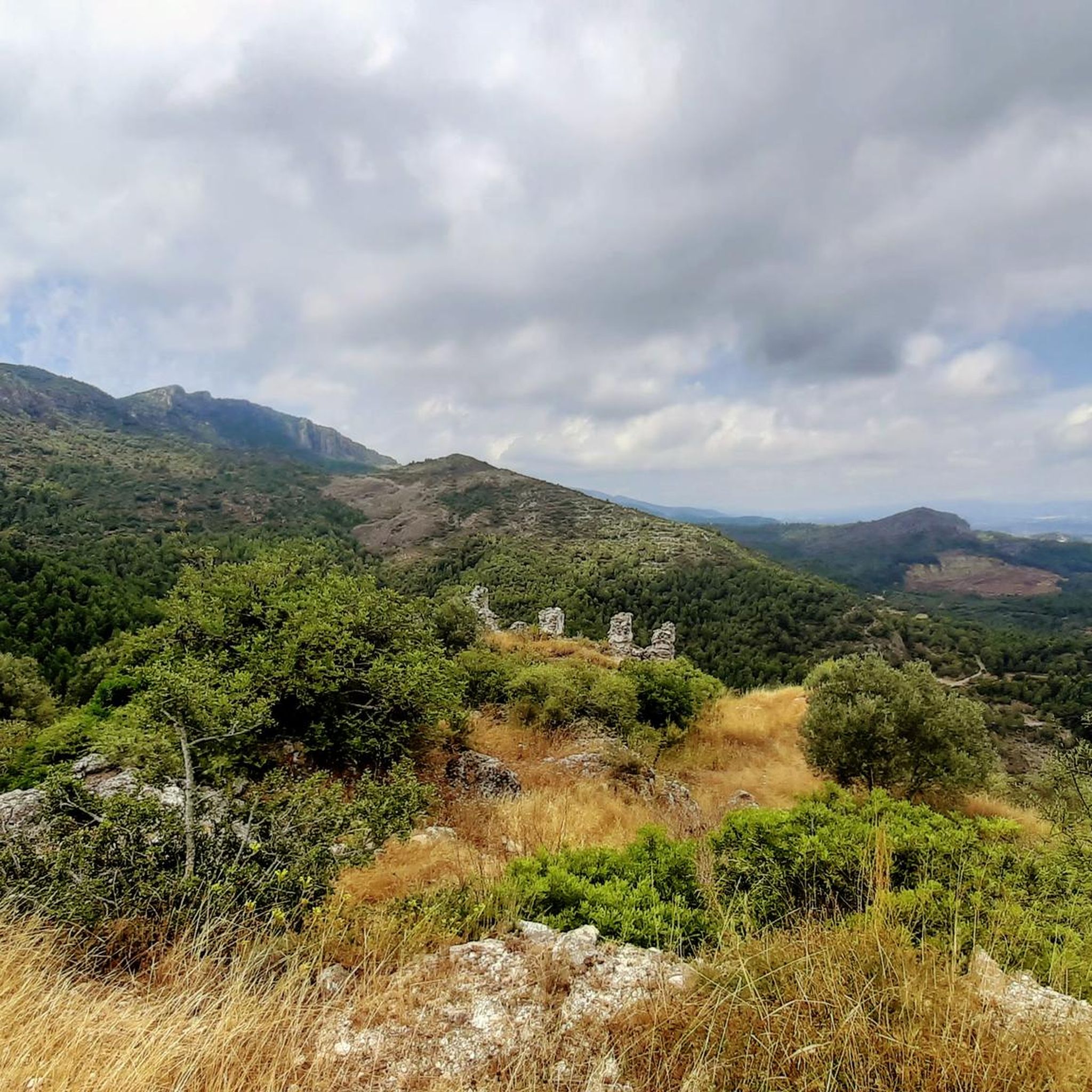
- The most popular mountain peaks is Views of Benicadell, a viewpoint that offers spectacular views of the Benicadell mountain…
Last updated: October 7, 2026
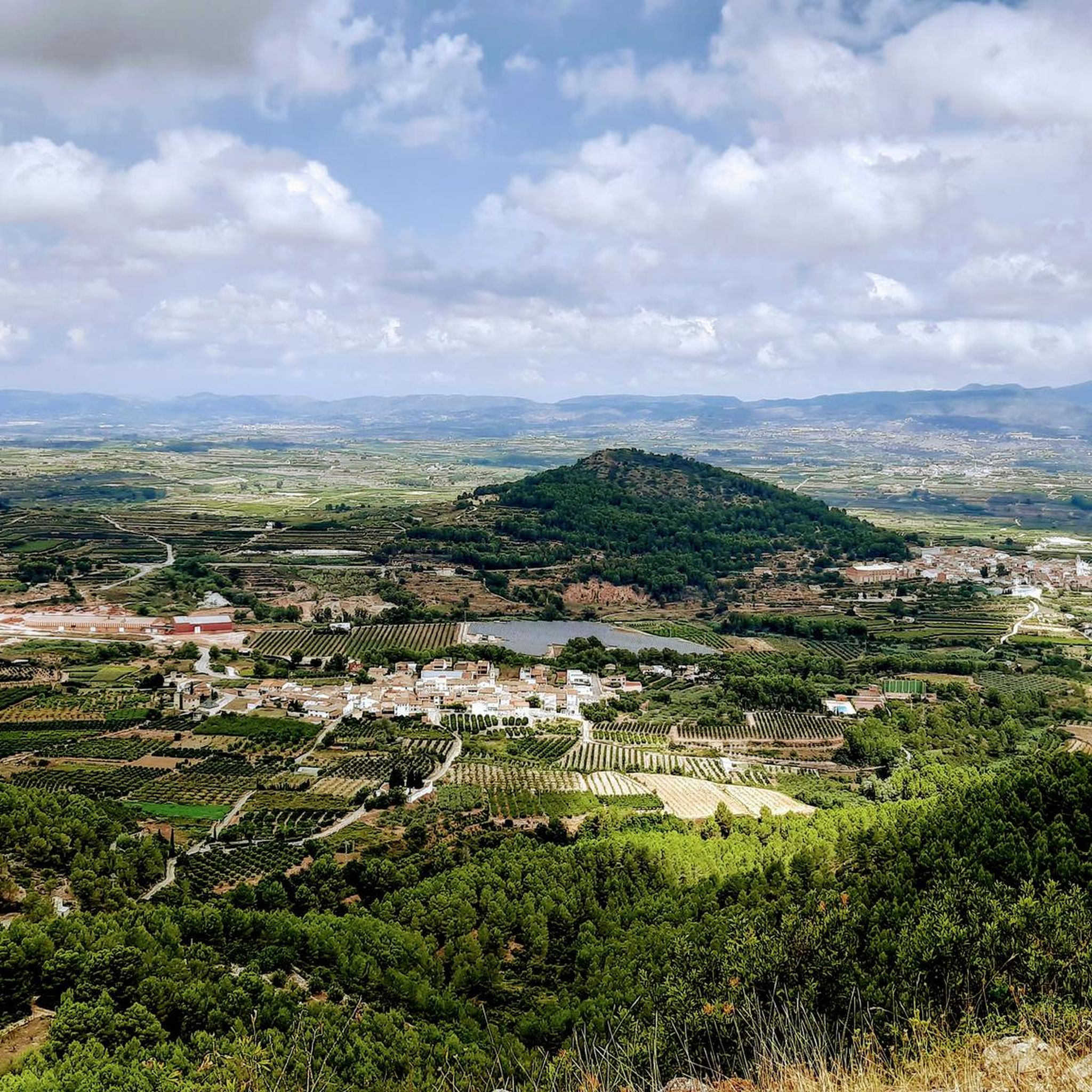
View of Alt de Benicadell
Highlight • Summit
Translated by Google •
Tip by

Cim de la Safor (1,013 m)
Highlight • Summit
Translated by Google •
Tip by

Sign up now to discover places like this
Get recommendations on the best single tracks, peaks, & plenty of other exciting outdoor places.
Views of Benicadell
Highlight • Viewpoint
Translated by Google •
Tip by

Beautiful views of Benicadell
Highlight • Summit
Translated by Google •
Tip by

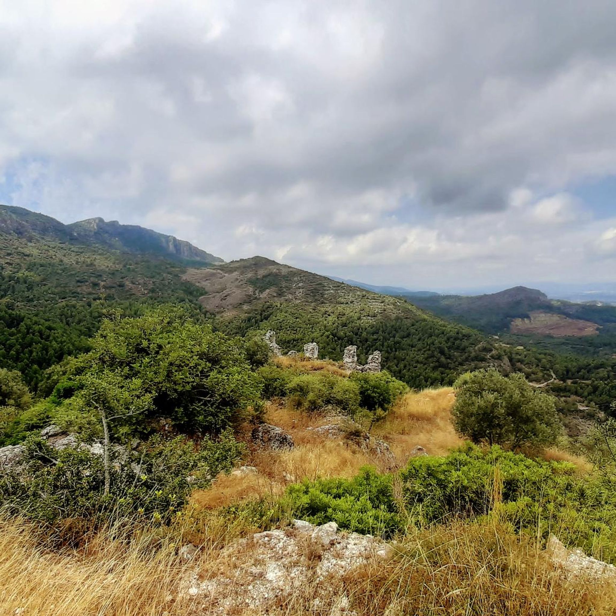
La Safor
Highlight • Summit
Translated by Google •
Tip by

Start today with a free account
Your next adventure awaits.


Other adventures around Rugat

Tips from the Community

There are several points along this route from which you can admire the impressive silhouette of the Benicadell massif. The Alt de Benicadell, with a height of 1,105 metres, is a prominent peak in the Sierra de Benicadell, which forms a natural border between the provinces of Valencia and Alicante. The region around the Benicadell offers numerous opportunities for cycling tours that lead through varied landscapes with impressive views.
6
0

From the TOP of the mountain one can have great view of La SAFOR and MARINA ALTA areas (nice view of Gandia and Oliva towns). Unfortunately, due to very rich vegetation (high trees) it is not possible to enjoy a 360 degree view similar to option which one has by hiking up Montuver mountain. Short video about this hike could be found under the following link: https://www.youtube.com/watch?v=j-mfyWy6RzQ
1
0

Place from which you have the most spectacular views of this incredible mountain.
1
0

The yellow and white markings of the PR-43 are old in some sections and the paint is somewhat blurred. It is important to follow the track and be aware of the route on the rocky ground. The area at the end is somewhat confusing due to the trees, but the summit is close and at the end the geodesic vertex appears between the holm oaks. The most suggestive views are towards the coast and the horizon of the Mediterranean. The exit from the top is directly to the north, although it is a bit scary because of the slope and the slippery ground. The path is clear, slightly slopes the slope of the mountain and goes down to Pla de la Nevera, where the Nevera de la Safor is, an old traditional construction to store snow during the winter. In the meadow there is a post with indications of the trails. The route follows the direction of L'Orxa and Font dels Olbits along the PR-43. The path passes the entrance to Avenc del Manco and goes up a small hill to leave the Pla de la Nevera hollow. The descent is long, technical and hard, the path has a lot of loose stones and in several sections it is quite steep. And from time to time different options appear but they all have the purpose of going down the mountain and they always come together again.
0
0

Steep climb. Will be rewarded with a great view
1
0

The Benicadell accompanies the cyclist during the ascent and descent of the mountain pass between Castelló de Rugat and Beniarrés.
3
0
El Benicadell is the highest peak (1,104 m) of the mountain range of the same name. It is a mountainous wall that separates the Valencian regions of the Vall d'Albaida and the County. With a Betic (external Prebetic specifically) direction from north-east to south-west, the characteristic peak of Benicadell has the form of a rocky ridge of calcareous lithology that gives uniqueness to the landscape.
2
0

Very nice views of both Benicadell and the reservoir. Both on one side and the other you can ride on good roads and appreciate beautiful views
3
0
Frequently Asked Questions
What are the most popular mountain peaks or viewpoints near Rugat?
The region around Rugat, particularly the foothills of the Sierra de Benicadell, offers several notable spots. Among the most popular are Views of Benicadell, which provides spectacular vistas of the Benicadell mountain and the reservoir. Another highly regarded spot is Cim de la Safor (1,013 m), a summit offering great views of the La Safor and Marina Alta areas. Additionally, View of Alt de Benicadell is appreciated for its excellent perspectives of the impressive Alt de Benicadell summit.
Are there challenging mountain trails near Rugat?
Yes, for those seeking a challenge, the ascent to Cim de la Safor (1,013 m) is known to be steep but rewards hikers with extensive views. Another challenging option is the trail to La Safor, which is described as a challenging route with some technical sections and loose stones, offering suggestive views towards the coast and the Mediterranean horizon.
What kind of natural features can I expect to see when exploring the mountains near Rugat?
The area is rich in natural beauty. You'll encounter rolling hills, vineyards, and the foothills of the Sierra de Benicadell. Highlights like Views of Benicadell offer expansive views of the mountain range and the Beniarrés reservoir. The region also features recreational areas with running water like Les Fonts, and a beautiful waterfall at Toll del Datiler, perfect for relaxation.
What is the best time of year to hike the mountain peaks around Rugat?
The region generally offers pleasant conditions for hiking. While specific peak seasons aren't detailed, the mild climate of Valencia suggests spring and autumn would be ideal to avoid the summer heat and potential winter chill. The komoot community has shared photos throughout the year, indicating that the trails are accessible for much of it.
Are there family-friendly hiking options in the Rugat area?
While specific 'family-friendly' categories are not listed for the peaks, Rugat itself is an ideal destination for those seeking peaceful natural surroundings. The municipality offers recreational areas like L'Horta, La Costereta Park, and Les Fonts, which have amenities like playgrounds and are suitable for leisurely walks with families. The general landscape of rolling hills and agricultural beauty also lends itself to gentler exploration.
Can I bring my dog on the mountain trails near Rugat?
The guide data does not explicitly state rules regarding dogs on trails. However, many natural areas in Spain are dog-friendly, especially on marked trails, provided dogs are kept under control. It's always recommended to check local regulations or signage at trailheads for specific rules regarding pets in the Sierra de Benicadell foothills.
What outdoor activities, besides hiking, can I do near these mountain peaks?
Beyond hiking, the area around Rugat is excellent for other outdoor pursuits. You can find numerous MTB Trails around Rugat, with routes like 'Dawn's Way and Safor Loop' or 'Benicadell Forest Hut – Font Freda (viewpoint) loop'. There are also dedicated Running Trails around Rugat, including options like 'Running from Lorxa by the Vía Verde del Serpis'.
Are there any specific permits required for hiking in the Sierra de Benicadell area?
The provided information does not indicate that specific permits are required for general hiking on the trails in the Sierra de Benicadell foothills near Rugat. However, it's always good practice to respect local regulations and private property, especially in agricultural areas.
Where can I find parking for trailheads in the Rugat area?
While specific parking locations for individual trailheads are not detailed, Rugat encourages rural tourism and offers amenities like a campground. For popular hiking areas like the Sierra de Benicadell foothills, parking is typically available near villages or designated recreational areas. It's advisable to check maps or local information for the most convenient parking spots for your chosen route.
What do visitors enjoy most about the mountain peaks and natural areas around Rugat?
Visitors particularly appreciate the spectacular and expansive views, especially of the Benicadell mountain and the reservoir, as noted at Views of Benicadell. The rewarding views after a steep climb, such as from Cim de la Safor (1,013 m), are also a highlight. The overall peaceful natural surroundings, the picturesque agricultural landscapes, and the opportunities for hiking amidst traditional scenery are highly valued.
Are there any circular mountain walks available near Rugat?
Yes, the nearby routes data suggests several circular options. For hiking, you can find routes like 'Ancient orchards – Barranco del Collado loop from Montitxelvo / Montichelvo' or 'Benicadell Summit – Benicadell Ice House loop from Salem' which are circular. These routes offer diverse experiences around the region's natural features.
What is the highest peak in the Sierra de Benicadell range near Rugat?
The highest peak in the Sierra de Benicadell range is El Benicadell itself, reaching an elevation of 1,104 meters. Beautiful views of Benicadell highlights this prominent summit, which forms a natural border between the provinces of Valencia and Alicante.
Most popular attractions around Rugat

Get inspired with the komoot mobile app


Explore more
See even more amazing summits around Rugat with these guides:
