Top 7 Gorges around El Atazar
Best canyons around El Atazar are characterized by the deep river valleys carved by the Lozoya River, a significant tributary of the Jarama. This region features several gorges and reservoirs, including the historic El Villar reservoir. The landscape combines vertical rock walls with green mountain ridges, offering diverse natural formations. These areas provide opportunities to explore the geological features and the flow of the river through narrow sections.
Best canyons around El Atazar
- The most popular canyons is El Villar…
Last updated: July 3, 2026
El Villar Reservoir and Gorge
Highlight • Gorge
Translated by Google •
Tip by

Views of the Lozoya River
Highlight • Viewpoint
Translated by Google •
Tip by

Sign up now to discover places like this
Get recommendations on the best single tracks, peaks, & plenty of other exciting outdoor places.
Sign up for free
Cañada de la Caleriza Trail
Highlight (Segment) • Trail
Translated by Google •
Tip by
Vultures' Viewpoint
Highlight • Viewpoint
Translated by Google •
Tip by

Las Cárcavas - Pontón de la Oliva
Highlight • Gorge
Translated by Google •
Tip by

Sign up for free to discover even more gorges around El Atazar.
Sign up for free
Already have an account?
Start today with a free account
Your next adventure awaits.
Login or Signup



Tips from the Community

Beautiful views of the Lozoya reservoir
0
0

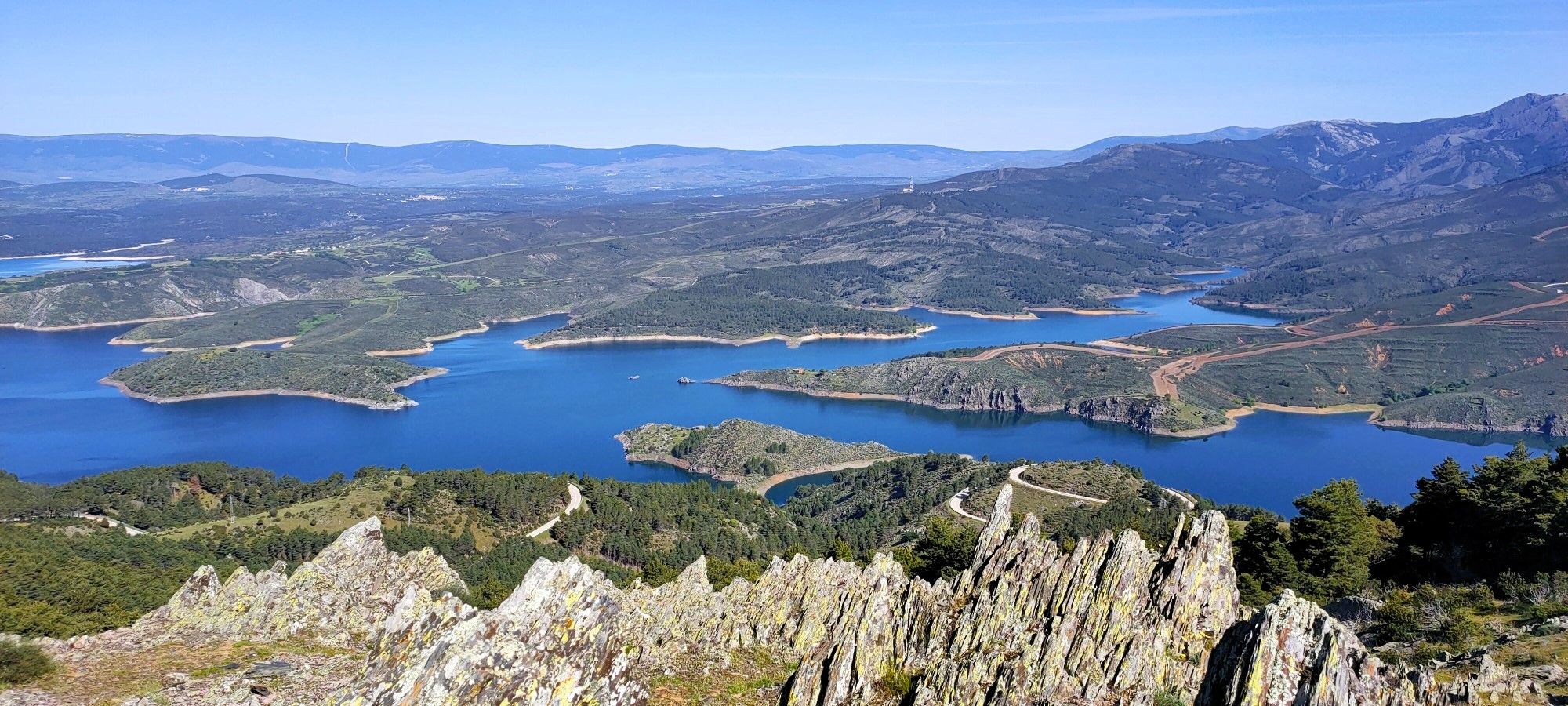
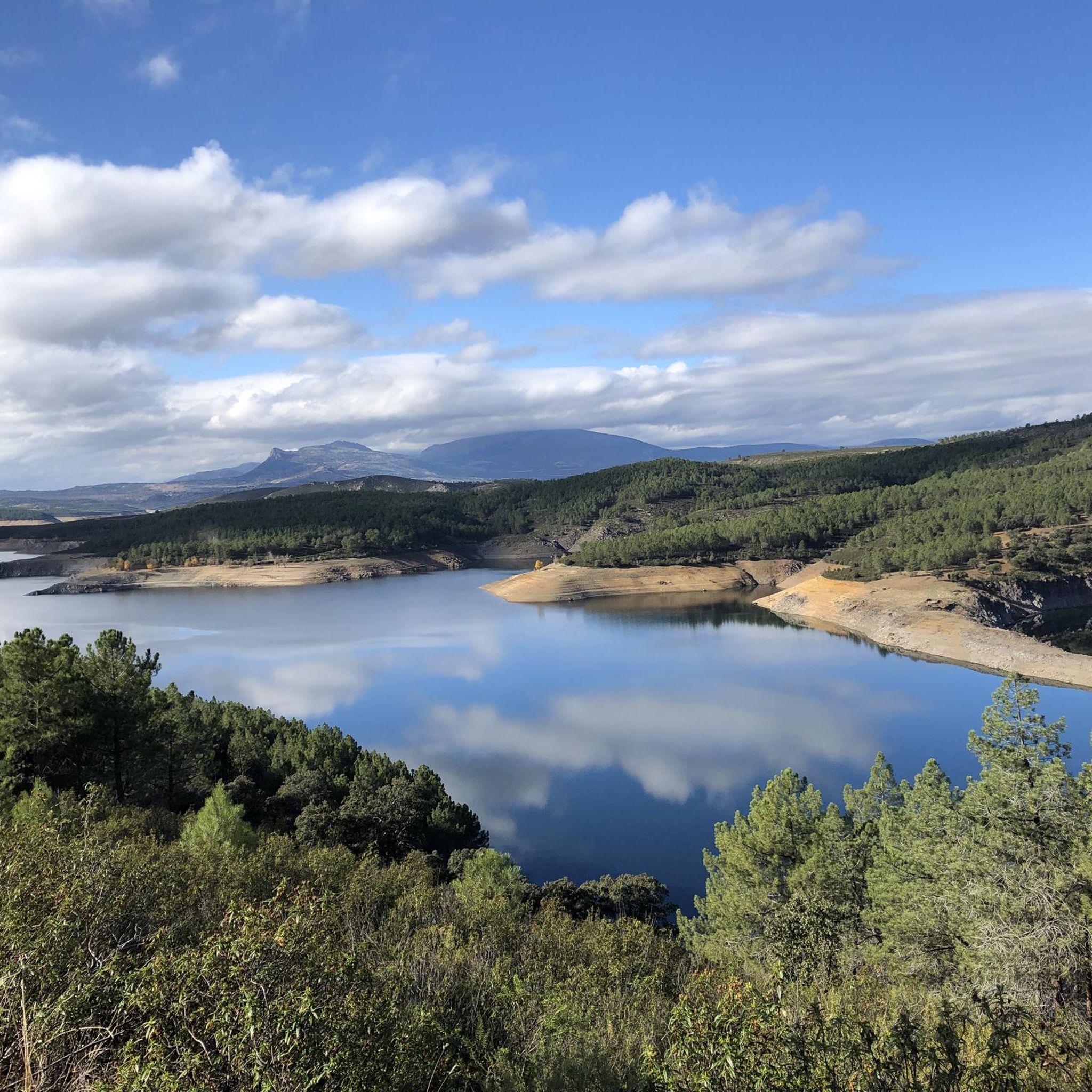
On the Puebla de la Sierra highway you come across this viewpoint over the Puebla river gorge. The landscape is overwhelming. The vertical walls of bare rock stand before the green ridges of the mountains and the sky. It is an ideal place to immortalize with a photograph.
1
0

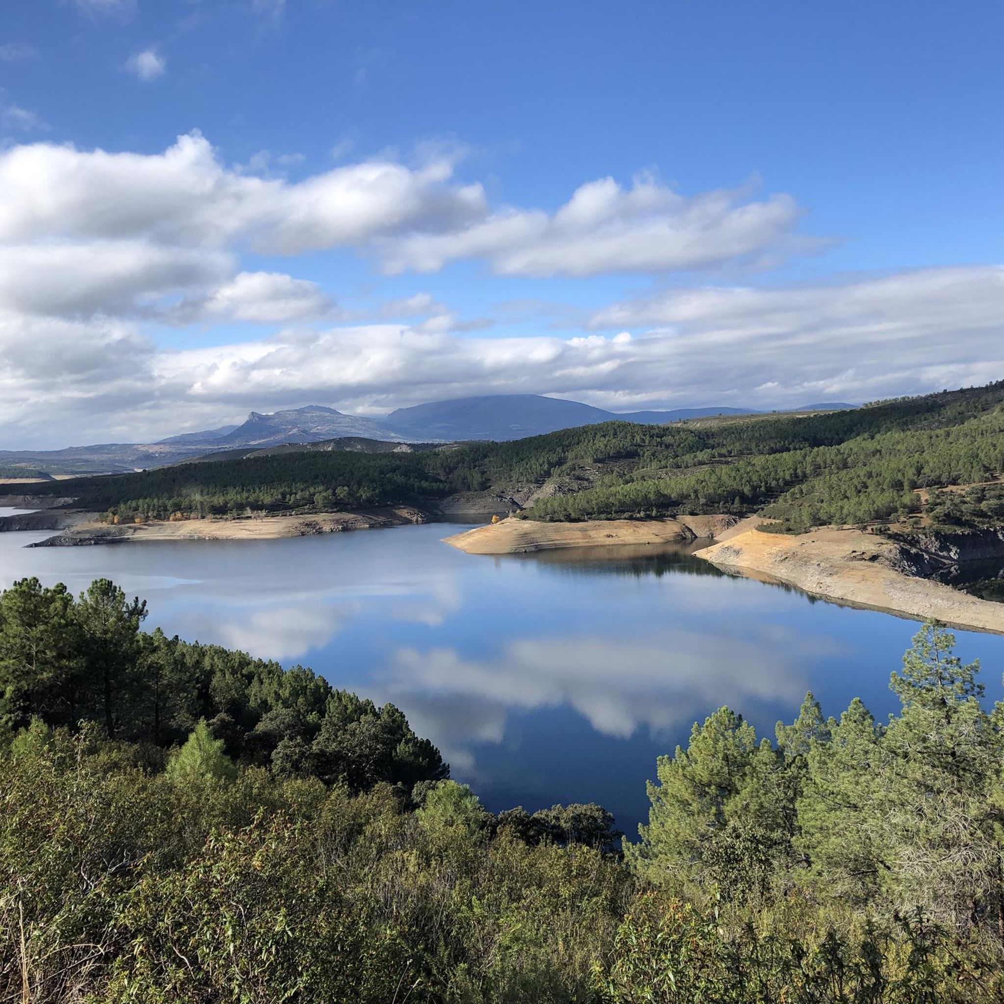
The Lozoya is an important tributary of the Jarama along whose 91 kilometer route six reservoirs have been built. Right at this point, the valley takes the shape of a canyon due to its proximity to the El Villar reservoir, where the course of the river narrows to a great extent.
4
0
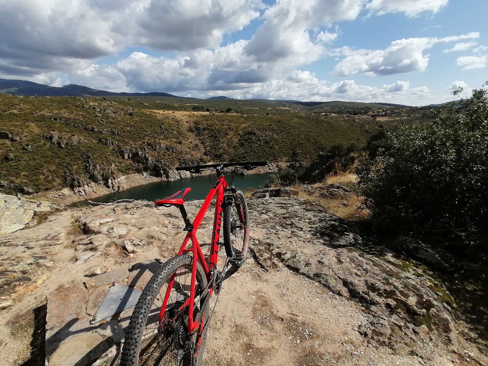
The Cañada de la Caleriza is a winding path that runs along the banks of the Lozoya River. This section coincides with the beginning of the GR 88, which runs through the provinces of Madrid, Segovia and Guadalajara. The Lozoya is a tributary of the Jarama along whose 91-kilometer route six reservoirs have been built.
2
0

Path along the Loyaza river
2
1

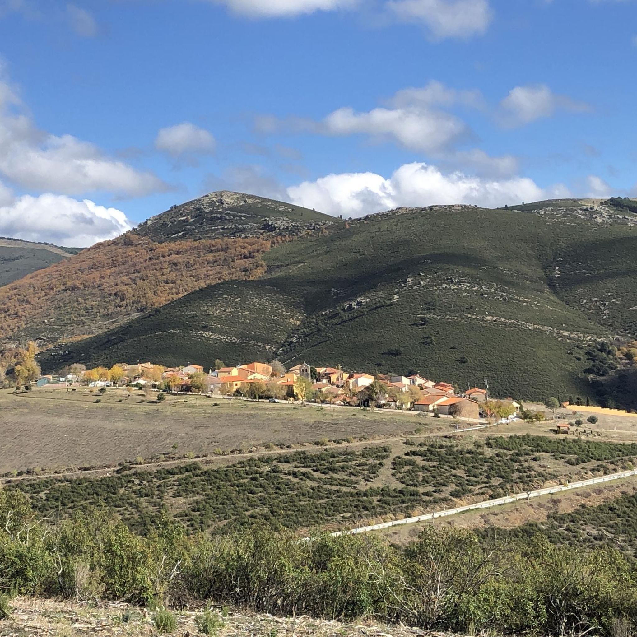
This Martian landscape has been caused by strong water erosion on the clayey slope, forming these ditches that make up a science fiction landscape. It is also beautiful because of the surrounding environment, be careful and respect the signs, there are paths where it is forbidden to ride a bike so you will have to get off it.
2
0

The road here is very winding. The incredible landscape to be photographed.
0
1
A very well preserved dam, it is currently the oldest working dam in the entire region. The views down from the bridge across it or up the stairs from the top are amazing. It is very worth it. Just down the road is a lovely picnic spot with benches under the pine trees.
1
0
Frequently Asked Questions
What natural features can I explore in the canyons around El Atazar?
The region is characterized by deep river valleys carved by the Lozoya River, featuring impressive geological formations. You can observe vertical rock walls, green mountain ridges, and the flow of the river through narrow sections. Notable spots include the El Villar Reservoir and Gorge, where the dam stands in the middle of a Lozoya river gorge, and Views of the Lozoya River, where the valley narrows into a canyon.
Are there family-friendly options for exploring the canyons near El Atazar?
Yes, the El Villar Reservoir and Gorge is categorized as family-friendly. It offers spectacular views and a lovely picnic spot with benches under pine trees, making it suitable for outings with children.
What historical or cultural sites are located within the canyons of El Atazar?
The El Villar Reservoir and Gorge features one of the oldest working dams in the Madrid region, a significant civil hydrographic work still in operation. Additionally, the Patones Gorge Trail is a historical path that was once a primary access route to the slate town of Patones de Arriba until the 1930s.
What outdoor activities can I do near the canyons of El Atazar?
The area offers diverse outdoor activities. You can find numerous running trails, such as those around the Presa de la Parra or the Patones Gorge. For cycling enthusiasts, there are gravel biking routes like the El Berrueco – El Villar Reservoir loop, and road cycling routes including the Sierra de la Puebla Loop. You can explore more options on the Running Trails around El Atazar, Gravel biking around El Atazar, and Road Cycling Routes around El Atazar guide pages.
Are there specific hiking trails that run along the canyons?
Yes, the Cañada de la Caleriza Trail is a winding path that runs along the banks of the Lozoya River, coinciding with the beginning of the GR 88 long-distance trail. Another option is the Patones Gorge Trail, which offers a scenic walk through a limestone and slate ravine.
What is the best time of year to visit the canyons around El Atazar?
The region experiences a Mediterranean climate with hot, dry summers and mild winters. Spring and autumn generally offer the most pleasant weather for outdoor activities, with comfortable temperatures for hiking and exploring the gorges. Summers can be very warm, while winters are cooler but often still suitable for walks.
What kind of wildlife can I expect to see in the canyons?
The rugged terrain and cliffs provide habitat for various bird species. At the Views of the Lozoya River viewpoint and the Vultures' Viewpoint, you may observe vultures flying over the cliffs or perched on ledges, taking advantage of the updrafts.
Is parking available near the canyon viewpoints and trails?
Yes, for instance, next to the El Villar Reservoir and Gorge, there is a small parking lot available for approximately 10 cars, making it convenient for visitors arriving by vehicle.
What do visitors enjoy most about the canyons around El Atazar?
Visitors frequently appreciate the spectacular views, especially from the El Villar Reservoir and Gorge and the Vultures' Viewpoint. The well-preserved historical dam and the geological and landscape value of paths like the Patones Gorge Trail are also highly praised. The area is valued for its diverse landscapes and opportunities for exploration.
Are there any circular trails through the canyons?
While specific circular canyon trails are not explicitly detailed as highlights, many of the nearby running and cycling routes are designed as loops. For example, the 'Presa de la Parra from Pontón de la Oliva' is a circular trailrunning route that passes through the Cañada de la Caleriza, offering a comprehensive experience of the riverbanks and gorges. You can find more circular options within the Running Trails around El Atazar guide.
What is the typical difficulty level for exploring the canyons in this area?
Many of the trails and viewpoints, such as the El Villar Reservoir and Gorge, Views of the Lozoya River, and Cañada de la Caleriza Trail, are rated as 'intermediate'. This suggests they require a moderate level of fitness and may involve some uneven terrain or elevation changes. Always check specific route details for precise difficulty ratings.
Are there opportunities for wild swimming in the canyons or nearby rivers?
While the Lozoya River flows through the gorges and feeds into several reservoirs, including El Atazar and El Villar, specific designated wild swimming spots within the narrow canyon sections are not highlighted. Reservoirs often have regulations regarding swimming. It's advisable to check local regulations and safety information before considering any swimming in natural waters.
Most popular routes around El Atazar
Most popular attractions around El Atazar

Get inspired with the komoot mobile app


Explore more
Already discovered everything in this region? See additional gorges around El Atazar for your next adventure:
