The best road cycling routes around Küblis
3.9
(32)
1,235
riders
16
rides
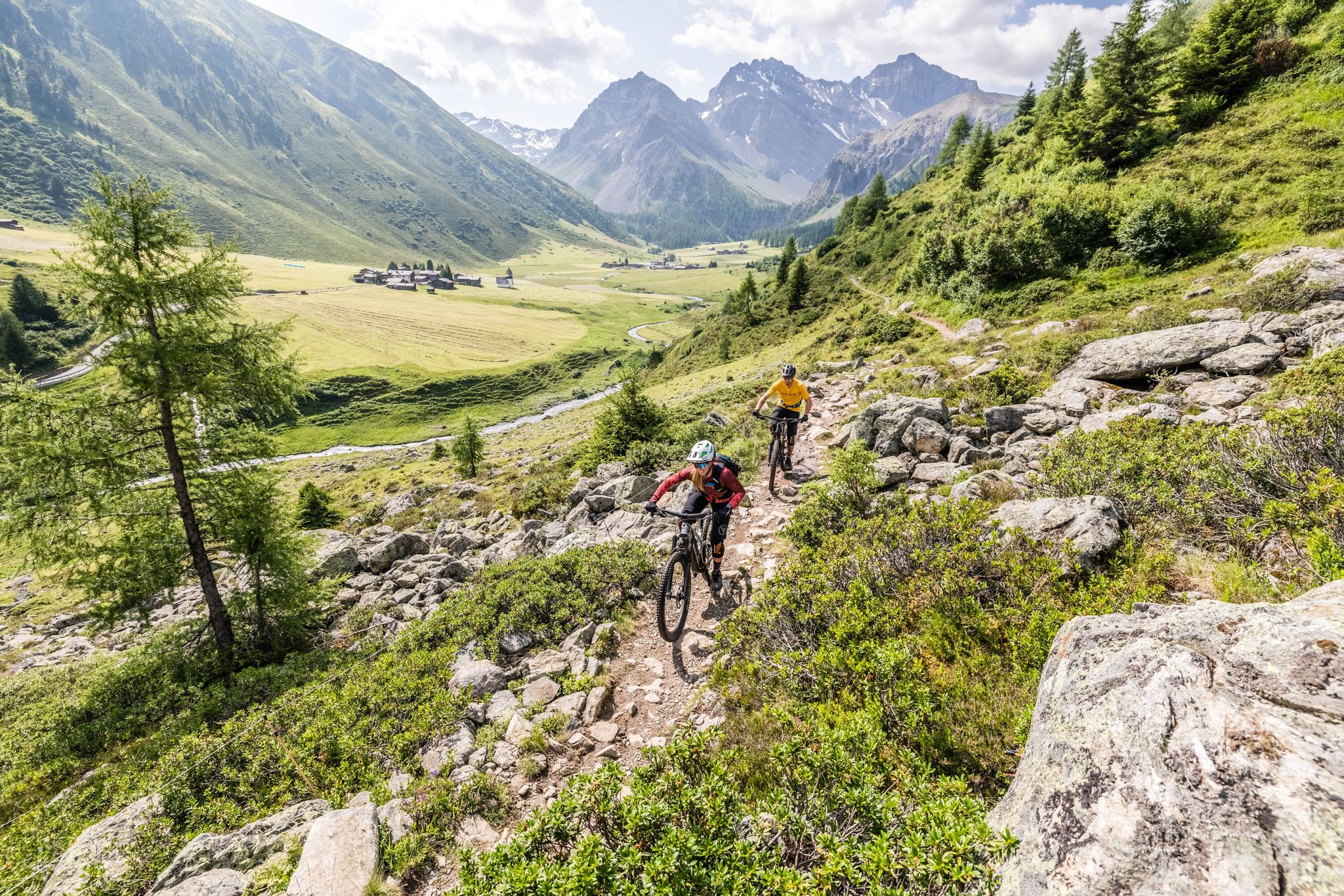
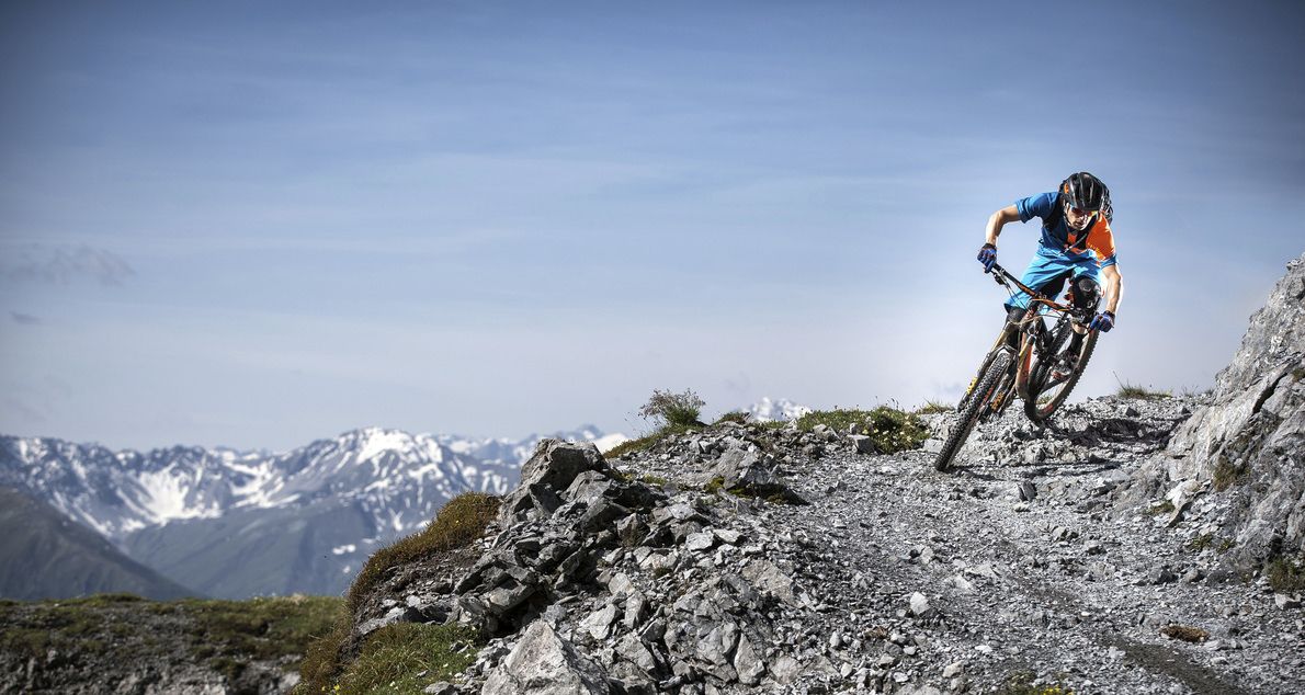
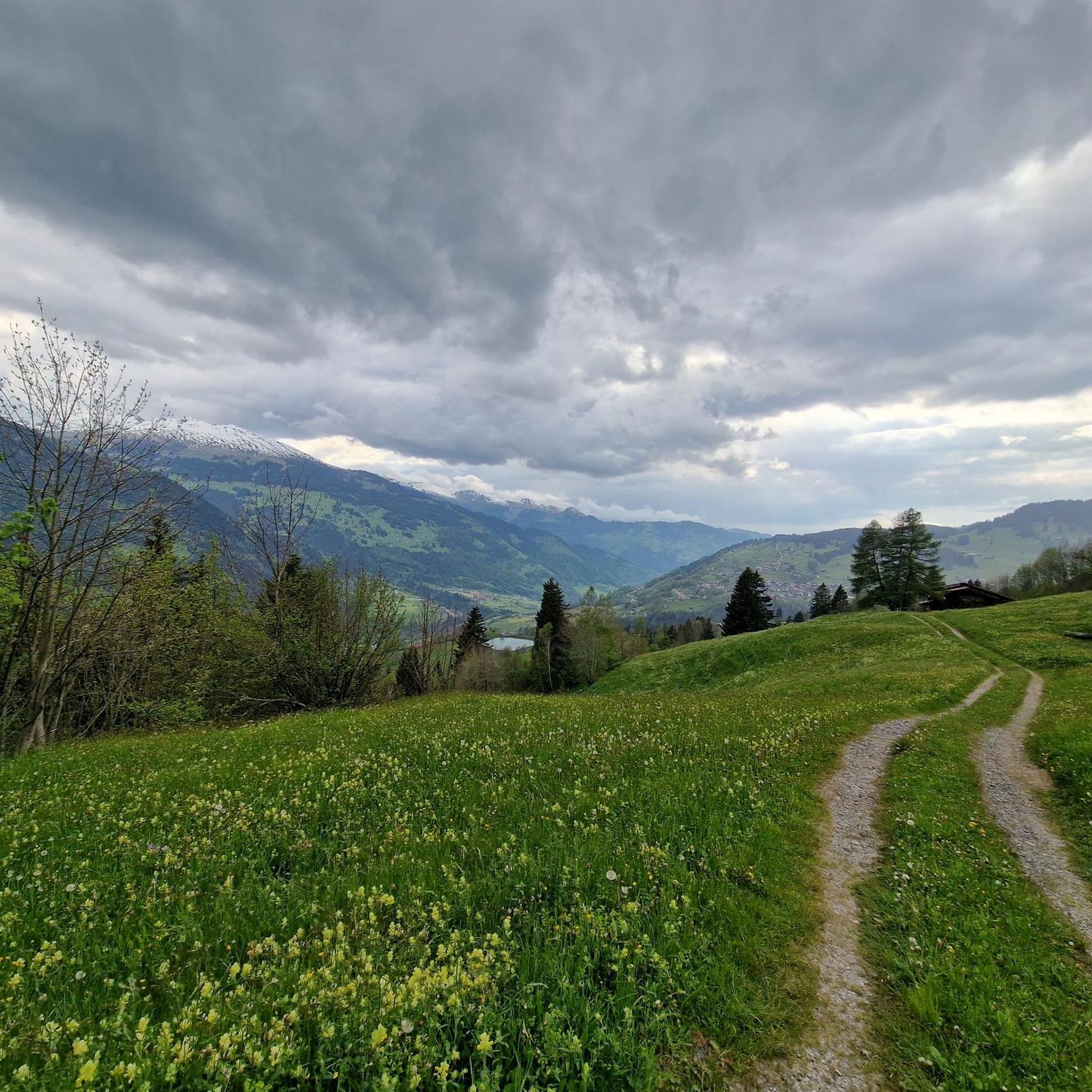
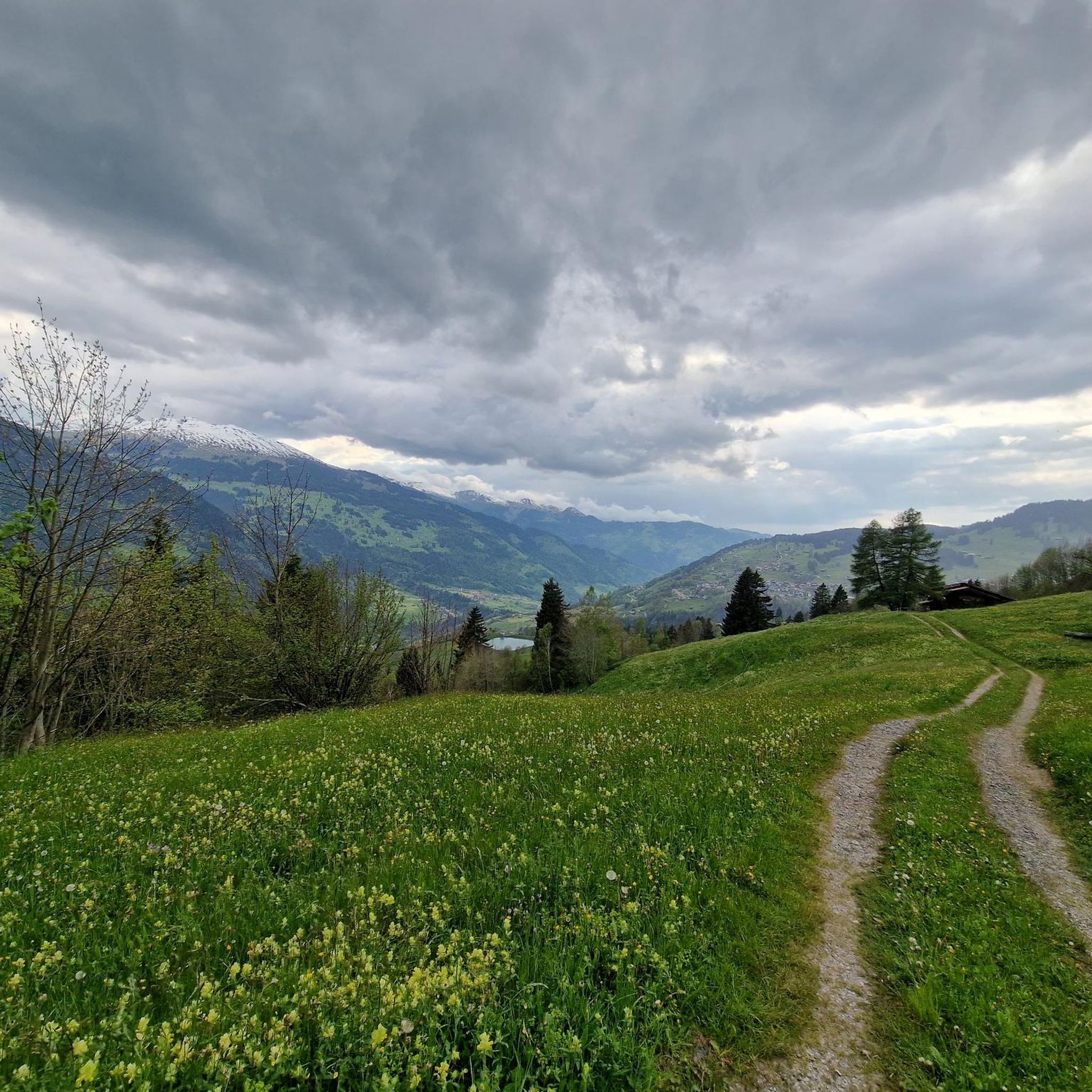
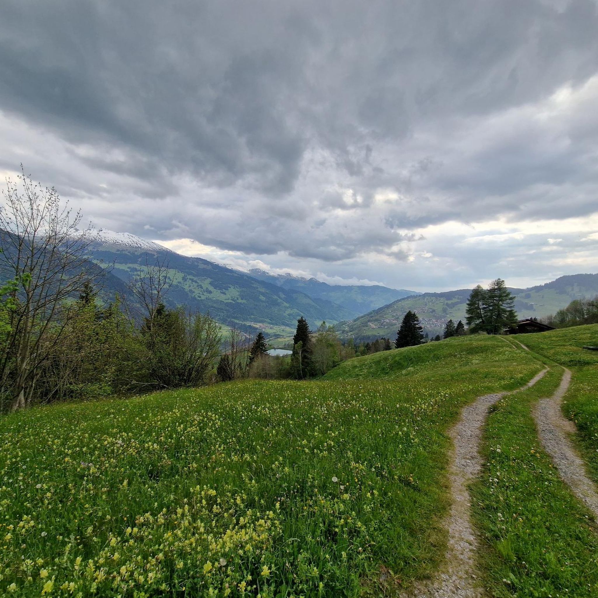
Road cycling routes around Küblis are set within the scenic Prättigau valley in Graubünden, Switzerland, offering diverse landscapes for cyclists. The region is characterized by the majestic Rätikon and Silvretta mountain groups, providing a dramatic backdrop with significant elevation gains. Cyclists can expect mostly paved surfaces, winding through the valley alongside the Landquart River and ascending towards alpine passes. This area provides challenging routes for experienced road cyclists.
Best road cycling routes around Küblis
- The most popular road cycling route…
Last updated: August 18, 2026
4.2
(18)
432
riders
64.8km
03:20
1,010m
1,010m
Hard road ride. Very good fitness required. Some segments of this route may be unpaved and difficult to ride.
4.3
(3)
135
riders
133km
06:52
2,170m
2,170m
Hard road ride. Very good fitness required. Some segments of this route may be unpaved and difficult to ride.

Sign up for free
5.0
(3)
101
riders
83.0km
04:55
1,980m
1,980m
Hard road ride. Very good fitness required. Some segments of this route may be unpaved and difficult to ride.
5.0
(2)
102
riders
38.7km
02:14
920m
920m
Hard road ride. Very good fitness required. Mostly well-paved surfaces and easy to ride.
5.0
(1)
67
riders
110km
06:39
2,780m
2,780m
Hard road ride. Very good fitness required. Mostly well-paved surfaces and easy to ride.
Get access to more routes and recommendations from other explorers.
Sign up for free
Already have an account?
Our route recommendations are based on thousands of hikes, rides, and runs completed by other people on komoot.
Start today with a free account
Your next adventure awaits.
Login or Signup

Tips from the Community

With car: Parking is not possible at the campsite, 400 meters further in Gaschurn there is a parking lot at Mountain Beach
0
0

Spectacular road cycling pass with many ever-changing views. Try to tackle the tour, if possible, on weekdays and shoulder days, like at the end of April, shortly after the pass's spring opening. Then there will be snow walls to the left and right, and when rolling into the valley, spring will come towards you! Brilliant
0
0

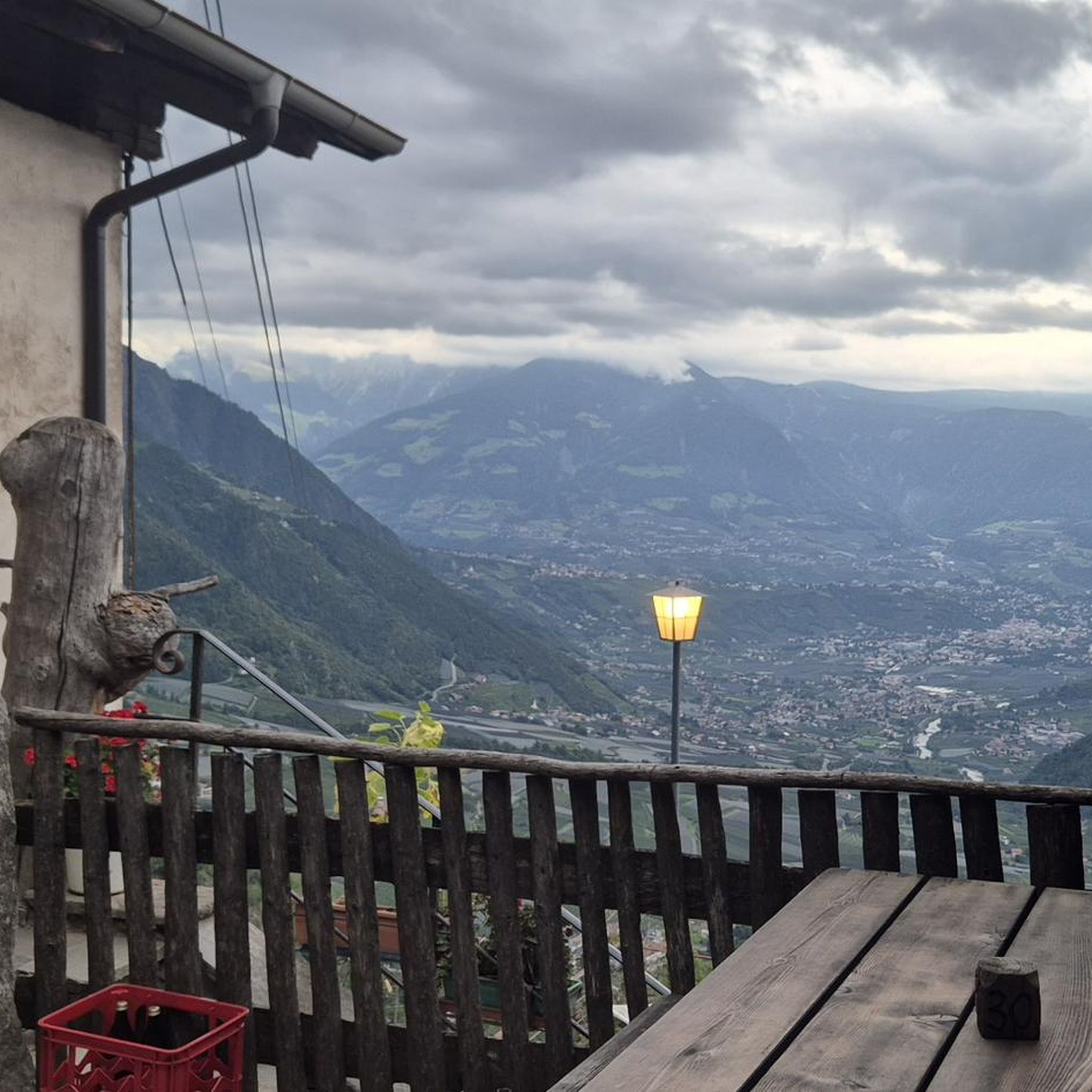
A really big, breaded schnitzel for everyone.
0
0

A place of power in a special class
0
0

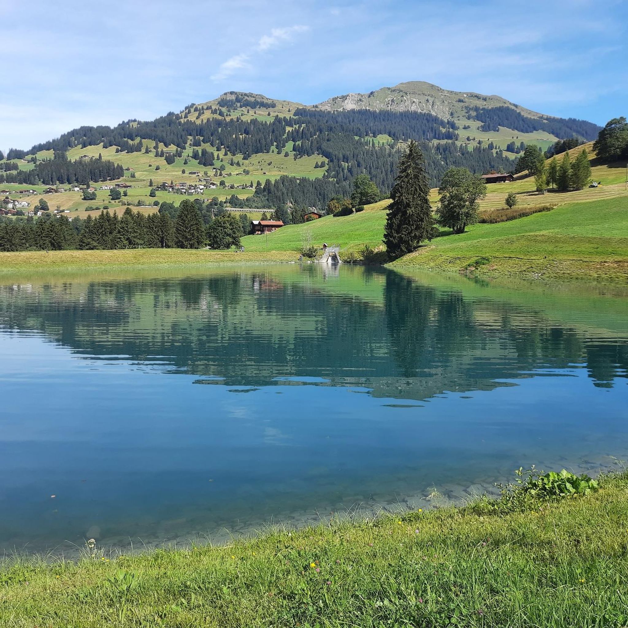
Lake Davos, nestled in the majestic mountain landscape of Davos, is a true natural paradise. As a natural mountain lake fed by meltwater from the surrounding glaciers and rainwater, it invites you to enjoy numerous activities. Whether it's a relaxing day at the public lido, a visit to the cozy SeeCafé, or exciting activities like sailing, stand-up paddling, or wakeboarding – Lake Davos has a lot to offer and is waiting to be discovered! Source: https://www.davos.ch/aktivitaeten/wassersport/davosersee
0
0

Ruinaulta Rhine Gorge The Ruinaulta, or Rhine Gorge, is a gorge of the Vorderrhein River, up to 400 meters deep and approximately 13 kilometers long, between Ilanz and the mouth of the Hinterrhein River near Reichenau in the canton of Graubünden in Switzerland. The Romansh name 'Ruinaulta' is composed of the two words ruina (scree slope, quarry) and aulta (high). The Ruinaulta was formed after the Flims Landslide almost 10,000 years ago. At that time, over 10 billion cubic meters of rock broke off between the Flimserstein and Piz Grisch, burying the Vorderrhein Valley between the present-day villages of Castrisch and Reichenau under a mass of debris several hundred meters thick. Because the Vorderrhein River could no longer drain away, a lake was dammed over a length of approximately 25 kilometers. Over time, the river cut deep into the landslide, and the resulting lake drained away completely. What remained was the Ruinaulta, with its steep limestone scree cliffs in impressive erosion formations. Text / Source: Wikipedia https://de.wikipedia.org/wiki/Ruinaulta
16
0
Confluence of the Vorderrhein and Hinterrhein, Reichenau Dominated by Reichenau Castle, the hamlet lies at the confluence of the Vorderrhein and Hinterrhein rivers, making it virtually the birthplace of the Rhine. It all began 10,000 years ago. Between the Flimserstein (a high plateau) and Piz Grisch, over 10,000 cubic meters of rock broke off and thundered down into the valley. Towards Reichenau, the Vorderrhein valley disappears under a gigantic mass of rubble. From there, the Rhine diligently ate its way through the rock, creating the spectacular Swiss "Grand Canyon" – the Ruinaulta. Text / Source: myswitzerland.com https://www.myswitzerland.com/de-ch/erlebnisse/route/vom-zusammenfluss-der-rheine-in-die-rheinschlucht/
16
0

Historic Rococo church from the 15th century.
2
0
Frequently Asked Questions
How many road cycling routes are available around Küblis?
There are over 15 road cycling routes around Küblis, offering a diverse range of experiences for cyclists. These routes are predominantly challenging, with significant elevation changes.
What is the general difficulty level of road cycling routes in Küblis?
The road cycling routes around Küblis are generally challenging, with a mix of difficult and moderate options. Many feature significant elevation gains, making them suitable for experienced road cyclists seeking a physical challenge and panoramic views.
Are there any scenic loop trails starting directly from Küblis?
Yes, Küblis offers several scenic loop trails. For instance, you can explore routes like the 'Sunniberg Bridge loop from Küblis' or the 'St. Antönien loop from Küblis,' both known for their substantial elevation changes and beautiful scenery.
What kind of terrain can I expect on road cycling routes in the Küblis region?
You can expect mostly paved surfaces, winding through the Prättigau valley alongside the Landquart River and ascending towards alpine passes. The landscape transitions from lower valley roads to high alpine terrain, offering varied scenery and significant climbs.
What are some notable natural features or landmarks I might see while cycling near Küblis?
The region is rich in natural beauty. You'll cycle amidst the majestic Rätikon and Silvretta mountain groups. Notable landmarks include the St. Antönier Joch Border Crossing, known for its alpine flora, and the Salginatobel Bridge, a UNESCO World Heritage Site. You might also encounter beautiful lakes such as Partnunsee or Schlappin Lake.
What do other road cyclists enjoy most about cycling in Küblis?
The komoot community highly rates the road cycling experience in Küblis, with an average score of 4.3 stars from over 25 reviews. Cyclists often praise the challenging routes, the stunning mountain scenery, and the diverse landscapes that provide both a physical workout and breathtaking views.
Are there any routes that follow the Landquart River?
Yes, several routes follow the Landquart River. A popular option is the Chlus Gorge – Cycle Path Along the Landquart River loop from Klosters Platz, which offers varied terrain as it traces the river through the scenic Chlus Gorge.
Can I find routes that pass through vineyards in the Küblis area?
Yes, for a unique cycling experience, consider the Chur-Coira (Switzerland) – Bündner Herrschaft vineyards loop from Klosters Platz. This extensive route features significant elevation changes and takes you through the picturesque Bündner Herrschaft vineyards.
What is the best time of year for road cycling in Küblis?
Summer is an excellent time for road cycling in Küblis, as the weather is generally favorable for exploring the valley and ascending alpine passes. The region's bicycle route connecting Landquart, Küblis, Klosters, and Davos is particularly enjoyable during this season.
Are there any routes that include mountain passes near Küblis?
Absolutely. The region is known for its mountain passes. A notable route is the Wolfgang Pass – Prättigau Cycle Path loop from Furna, which leads through the Prättigau valley and over Wolfgang Pass, offering challenging climbs and rewarding views.
What are some of the highest points or summits accessible near Küblis for views?
While many routes offer panoramic views, some of the highest points in the vicinity include the Sulzfluh Summit, known for its brilliant views, and Weissfluhjoch. The St. Antönier Joch Border Crossing also provides stunning vistas, especially when alpine flora is in bloom.
Are there any long-distance road cycling options from Küblis?
Yes, for those seeking longer rides, routes like the St. Luzisteig Barracks – St. Luzisteig Pass loop from Saas offer substantial distances and elevation gains, providing an extensive challenge through varied landscapes.
Most popular attractions around Küblis

Get inspired with the komoot mobile app


Explore more
Browse the best Road cycling routes in other regions.
