Top 4 Lakes around Fresnedillas De La Oliva
Best lakes around Fresnedillas De La Oliva are primarily reservoirs and natural areas where seasonal lagoons form, rather than large natural lakes. This municipality in the Sierra Oeste of Madrid is characterized by its diverse terrestrial natural environment, including forests, granite formations, and extensive hiking opportunities. The region offers unique geological features like distinctive granite boulders and "berrocales," alongside significant natural spaces such as the Dehesa de Fuentelámparas. Visitors can explore a landscape rich in holm oaks and junipers, providing…
Last updated: May 22, 2026
Stone slab above the Valmayor reservoir
Highlight • Natural Monument
Translated by Google •
Tip by

Romeral Reservoir
Highlight • Lake
Of this first …
Translated by Google •
Tip by

Sign up now to discover places like this
Get recommendations on the best single tracks, peaks, & plenty of other exciting outdoor places.
Sign up for free
Cerro Alarcón Reservoir
Highlight (Segment) • Lake
On the other side, easy …
Translated by Google •
Tip by
Views of Valmayor Reservoir
Highlight • Viewpoint
Translated by Google •
Tip by

Fuentelámparas Pastureland
Highlight • Natural
Translated by Google •
Tip by

Start today with a free account
Your next adventure awaits.
Login or Signup
Popular around Fresnedillas De La Oliva

Tips from the Community

On November 26, 2025, the water covered many areas that are normally passable. You had to "climb" several rocks to get around the reservoir. This section was especially tricky when descending, and even more so if you were alone.
0
0
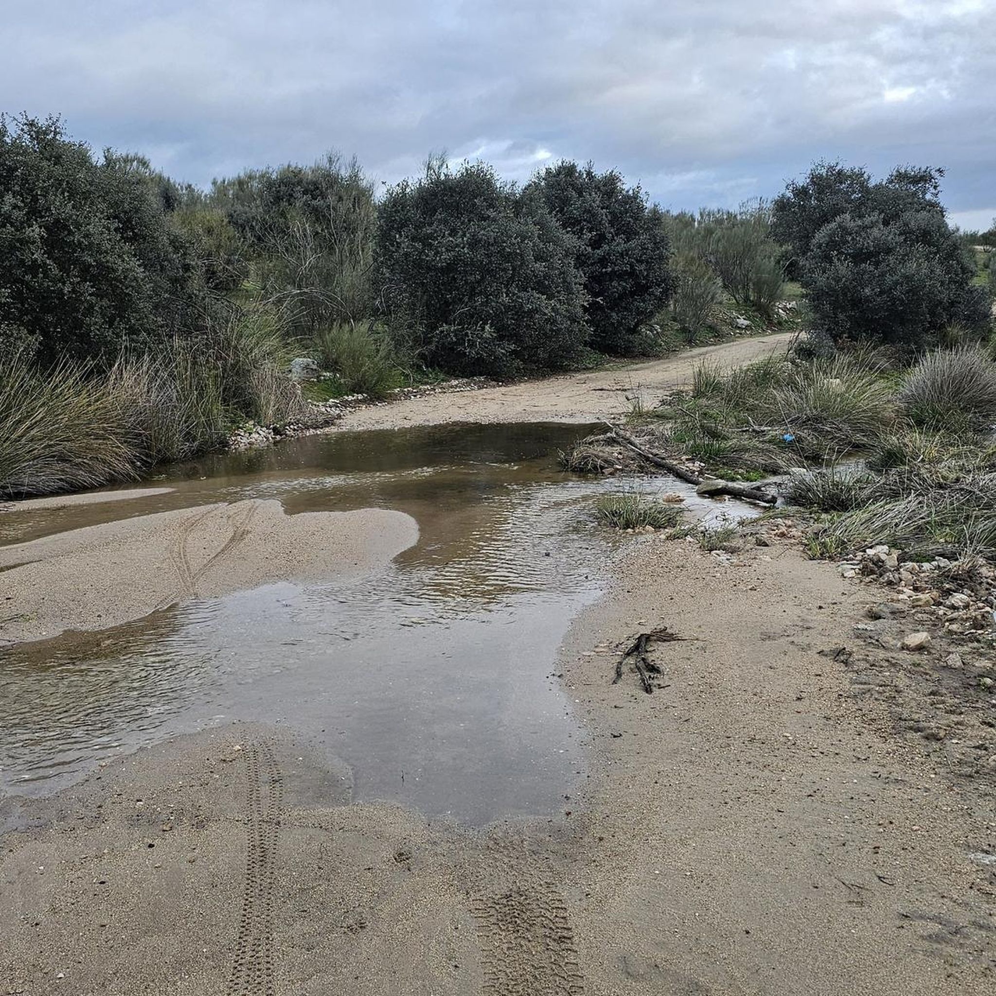
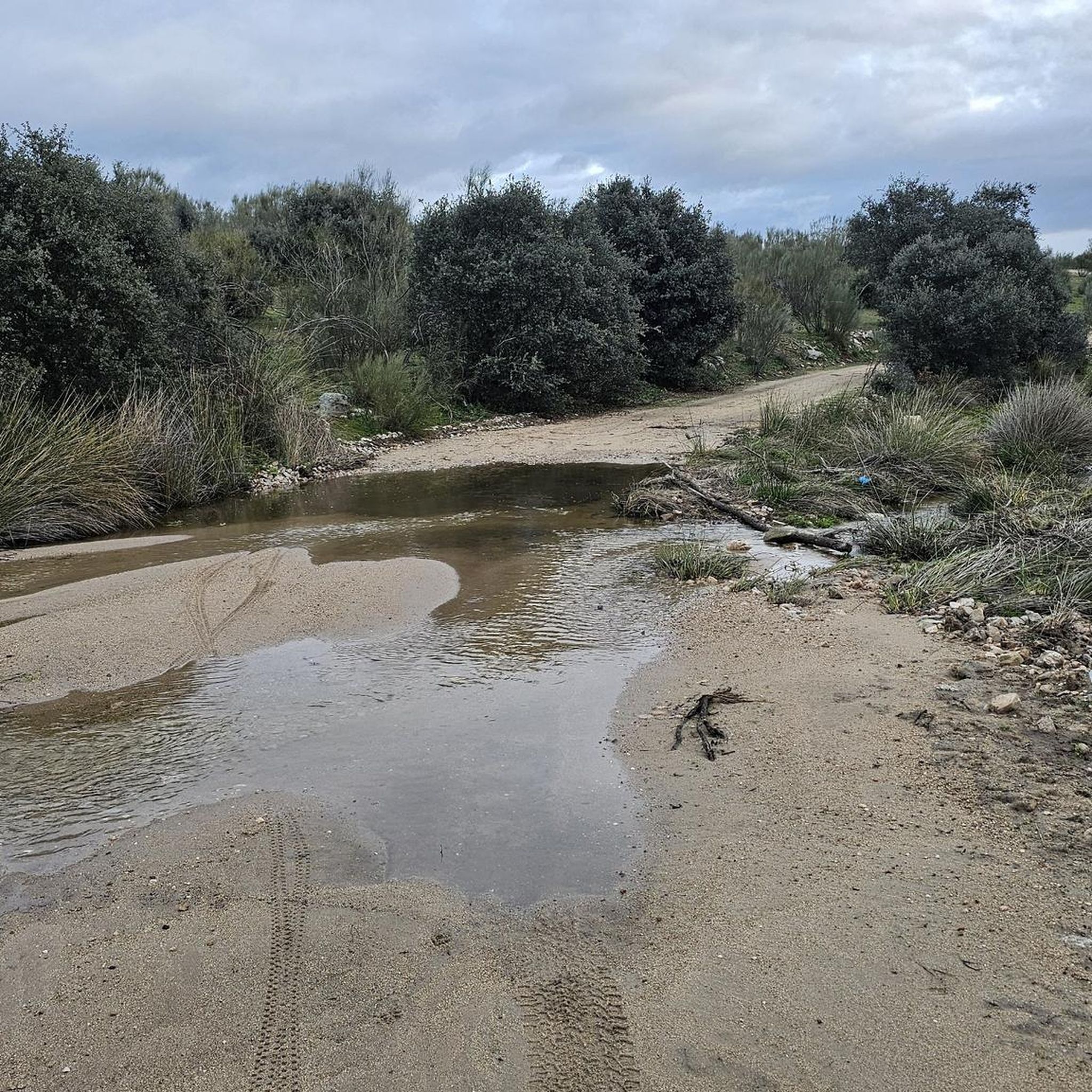
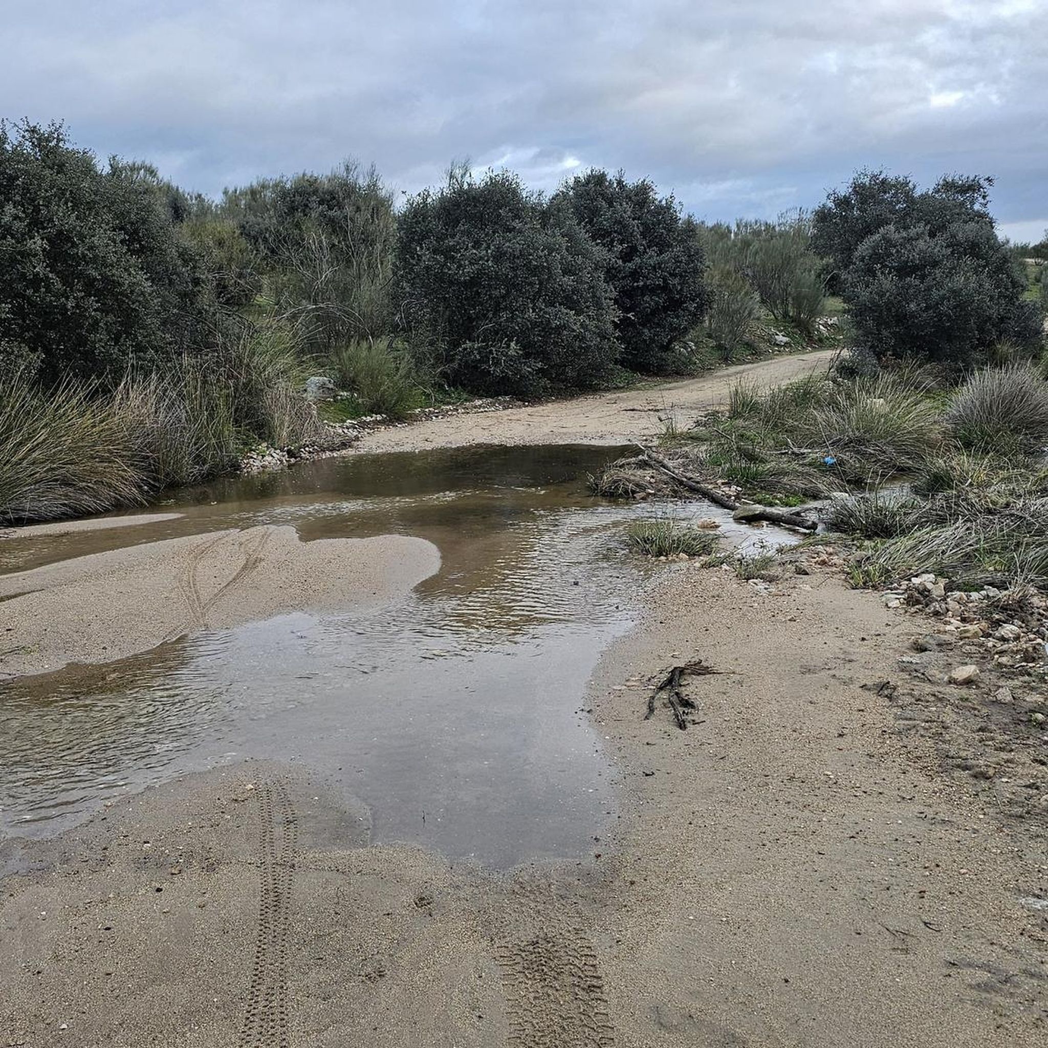
Today, February 9, after the rains, the reservoir is higher, although you can still cross without climbing the rock, with a little care you won't get wet.
0
0
As of January 1, 2025, the water will no longer cover the path that runs under the granite stone and it can be passed through without any complications.
0
0

If the reservoir flow is high, you have to walk and almost climb this rock. Easy, once you've done it.
0
0

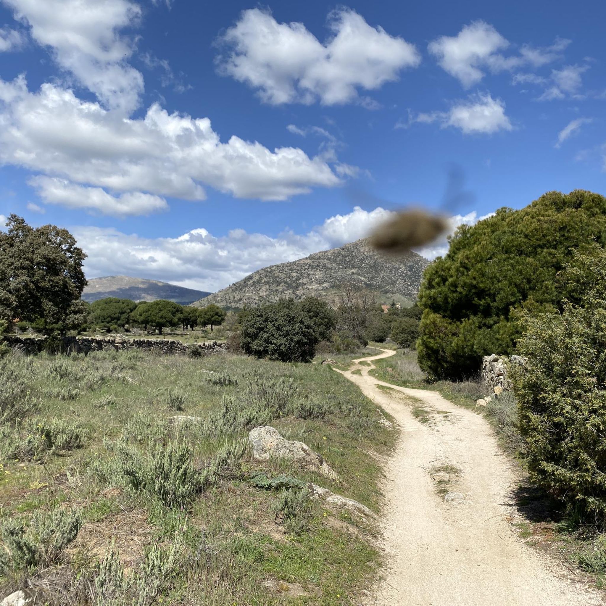
Along this beautiful stretch you can tour the entire west side of the Cerro Alarcón reservoir, located right between the municipalities of Valdemorillo and Navalagamella. On the other side, easy to see due to the narrowness of the reservoir, you can already see houses from the urbanization.
1
0
This small reservoir or dam was originally built after the order of Philip II, who wanted to impound the water from the stream of the same name. Of this first dam, only remains of the wall remain. Later, under the reign of Carlos III, the reservoir was expanded, to be expanded again during the reign of Alfonso XIII by the Abantos Society.
1
0
High granite slab that you find when surrounding the Valmayor reservoir when the water level is high. If you do it clockwise you will have to unclimb it, it is advisable to be accompanied to be able to lower the bike safely. If you do the route counterclockwise it will be more complicated to climb it. The slab is very smooth and has few grip points.
0
0

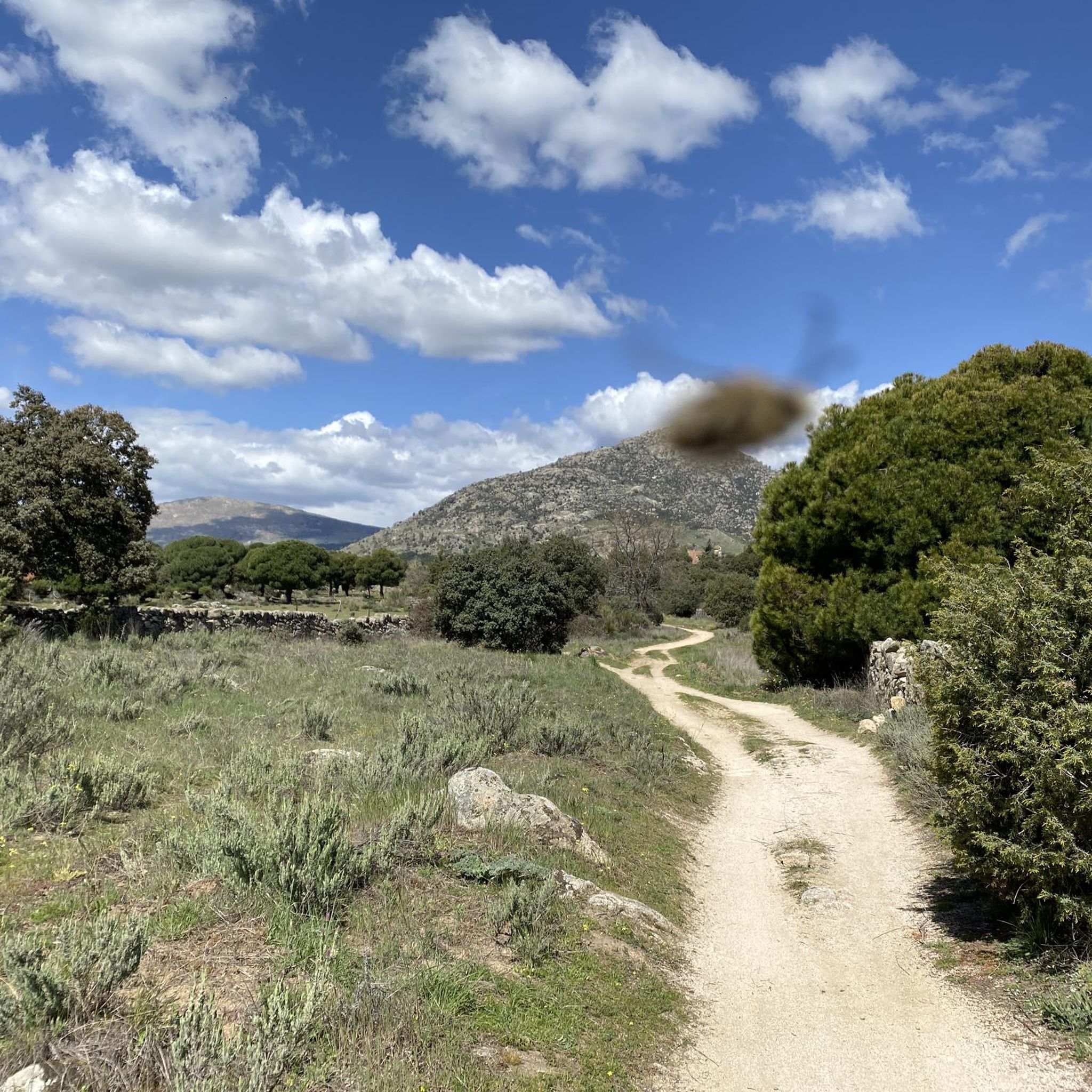
In the first streets of Zarzalejo Estación there is the detour of the Camino de los Molinos that enters the Fuentelámparas pasture, a new environmental wonder in the rural landscapes of the Sierra Oeste. The pasture is dedicated to livestock farms, herds of cows and sheep graze in the grass fields and there are many farmhouses and private farms. The road surface is comfortable until some meadows where a couple of lagoons are created in the rainy season. The pastoral alley passes by some stables and becomes a traditional path between the fences of the livestock farms, with cobblestones and steps that you pass without getting off the bicycle with care and skill. The remains of the old flour mill of Manuel Santos Ventura are hidden in the Portezuela stream, on the left of the road about two hundred meters off the track. And just opposite, on the cliffs of Los Picoruchos, are the ruins of a military fort from the Civil War that dominates the great plain of Fuentelámparas. The trails to visit these two places of historical and ethnographic interest are not cyclable, especially the one that goes up to the old military post, you have to leave the bike hidden near the path and walk a few minutes in both cases. The cattle track leaves the pasture and the route continues along the Camino de San Martín towards Colmenar del Arroyo.
1
0
Frequently Asked Questions
What kind of 'lakes' can I expect to find around Fresnedillas de la Oliva?
The area around Fresnedillas de la Oliva is characterized by reservoirs and natural areas where seasonal lagoons form, rather than large natural lakes. These bodies of water offer varied landscapes for exploration, from historical dams to accessible reservoir shores.
Are there any family-friendly lake areas to visit?
Yes, the Cerro Alarcón Reservoir is considered family-friendly. You can tour its entire west side, situated between the municipalities of Valdemorillo and Navalagamella.
What unique natural features can I explore near these water bodies?
Beyond the reservoirs, the region boasts distinctive granite boulders and 'berrocales' (rocky outcrops). The Stone slab above the Valmayor reservoir is a notable natural monument, a high granite slab encountered when the reservoir's water level is high, sometimes requiring walking or climbing.
Are there any historical sites related to the lakes in the area?
Yes, the Romeral Reservoir is a historical man-made lake. This small reservoir and dam has a history of expansion, originally ordered by Philip II and later enlarged under Carlos III and Alfonso XIII. Additionally, the Fuentelámparas Pastureland, where seasonal lagoons form, contains remains of an old flour mill and Civil War fort ruins.
What is the best time to visit to see the seasonal lagoons?
Seasonal lagoons in areas like the Fuentelámparas Pastureland are created during rainy seasons. Therefore, visiting after periods of significant rainfall, typically in late autumn, winter, or early spring, would be ideal to see them.
What outdoor activities can I do near the reservoirs?
The area is excellent for hiking and cycling. You can find various routes, including running trails and gravel biking routes. For example, there are running trails like the 'Viewpoint of the city of Madrid loop' and gravel biking routes such as the 'Valmayor Reservoir – The Seven Gates loop'. You can explore more options on the Running Trails around Fresnedillas De La Oliva guide or the Gravel biking around Fresnedillas De La Oliva guide.
Are there good viewpoints of the reservoirs or surrounding landscape?
Yes, the Romeral Reservoir offers scenic views. Additionally, Peña Caballera, the highest point in the municipality at 972 meters, provides commanding views of the surrounding natural environment, including the southern slope of the Sierra de Guadarrama.
What kind of wildlife can I observe around the lakes and natural areas?
The natural environment, particularly the holm oaks and junipers, makes the area suitable for birdwatching. The Dehesa de Fuentelámparas, with its ash trees, is also a valuable natural space for spotting local flora and perhaps some wildlife.
Are there specific hiking trails that explore the natural features near the water?
The 'Ruta de La Puente' is a circular hiking trail of medium-low difficulty that allows visitors to explore the natural surroundings, including the ash trees that give the town its name. It's ideal for walking, horseback riding, or cycling through nature.
What should I know if I plan to hike around the Valmayor Reservoir?
If you are hiking around the Valmayor Reservoir, be aware of the Stone slab above the Valmayor reservoir. Depending on the water level, navigating this section may involve walking or even climbing the rock. If the reservoir flow is high, you might need to carefully traverse this section.
Can I cycle around the reservoirs?
Yes, cycling is a popular activity. The 'Ruta de La Puente' is suitable for cycling, and there are dedicated gravel biking routes like the 'Valmayor Reservoir – The Seven Gates loop' which passes by the Valmayor Reservoir. You can find more cycling options in the Gravel biking around Fresnedillas De La Oliva guide and Road Cycling Routes around Fresnedillas De La Oliva guide.
Most popular routes around Fresnedillas De La Oliva
Most popular attractions around Fresnedillas De La Oliva

Get inspired with the komoot mobile app


Explore more
Still not found your perfect lake around Fresnedillas De La Oliva? Check out the guides of these regions to see even more beautiful places.
