Top 5 Gorges around Tamajón
Canyons around Tamajón are characterized by unique karst landscapes, featuring geological formations like those found in the Ciudad Encantada de Tamajón. This region, part of the broader Karst de Tamajón, offers diverse rock "sculptures," caves, and extensive juniper forests. The area provides opportunities for hiking and exploring natural features shaped by millennia of erosion. These landscapes present a variety of terrain for outdoor activities.
Best canyons around Tamajón
- The most popular canyons is Aljibe Waterfall, a waterfall that is…
Last updated: August 13, 2026
Aljibe Waterfall
Highlight • Waterfall
Translated by Google •
Tip by

Hoces del Jarama
Highlight • Gorge
Translated by Google •
Tip by
Sign up now to discover places like this
Get recommendations on the best single tracks, peaks, & plenty of other exciting outdoor places.
Sign up for free
Senda de la Muralla China of Guadalajara
Highlight • Trail
Translated by Google •
Tip by

Trail in the ravine
Highlight • Trail
Translated by Google •
Tip by
El Carralón
Highlight • Gorge
Translated by Google •
Tip by
Start today with a free account
Your next adventure awaits.
Login or Signup

Other adventures around Tamajón

Tips from the Community

The Barranco trail is part of the GR-60, known as the Route of the Black Villages. This trail runs through the Sierra Norte of Guadalajara and allows you to visit several villages with traditional dark slate architecture. The Barranco trail offers spectacular views and is ideal for hiking and nature lovers.
4
0

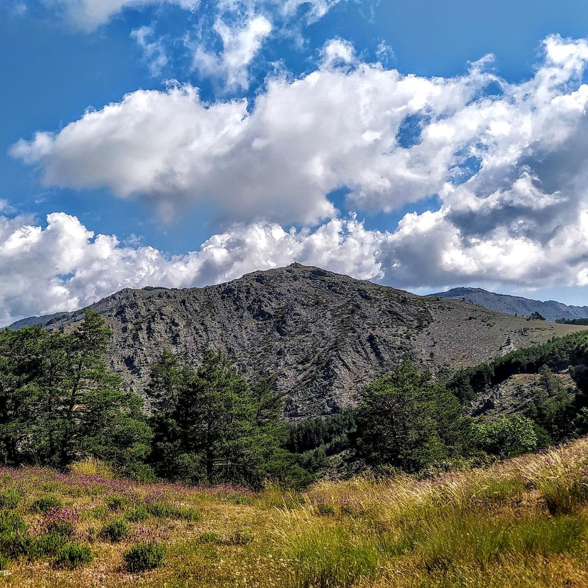
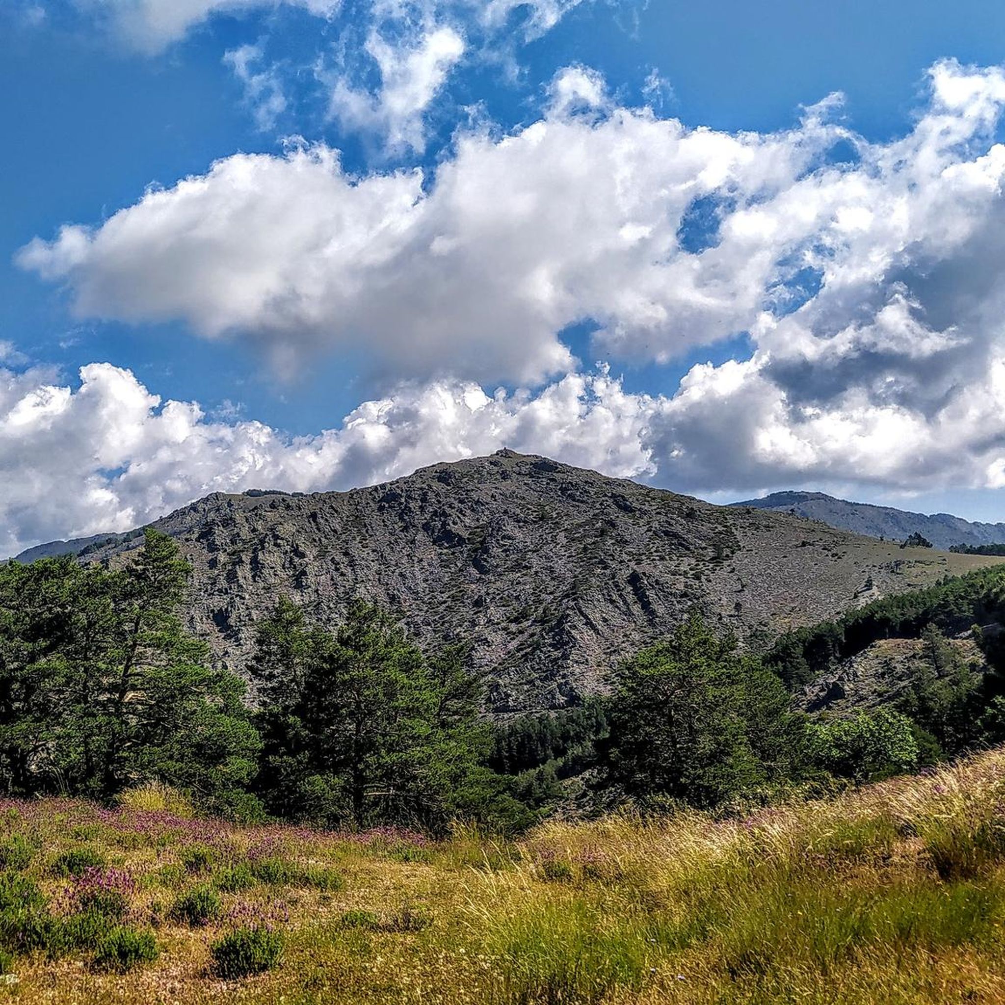
Roqueda on the climb to Pico Ocejón on the east side. It has a Canal in the right area of the rocks through which you can easily pass.
0
0
This path in the Barranco is a part of the GR-60, specifically a section that runs through the Arroyo del Abad. Once you pass the road junction and before reaching Arroyo de La Venta.
1
0
Although its access is steep and difficult, the Aljibe Waterfall is a popular place for hiking lovers. The path that leads to it offers spectacular views and is part of the Aljibe Waterfall Route. For long stretches, the trail runs close to the ravine without side protection, so caution should be taken.
3
0
The Senda de La Muralla China has a zigzag descent until you reach the Jaramilla River, which you pass over a wooden bridge that is not in very good condition, and on the other side it once again has a zigzag ascent, go in the direction indicated. go You can go from Corralejo to Roblelacasa or the other way around. The landscape in the Barranco del Río Jaramilla is very wild, ideal for taking nature photos. Sometimes there are vultures on the rocks. The name Senda de la Muralla China comes from the fact that about 200 meters away is the road that connects Campillo de Ranas and Roblelacasa with six towns hidden in the Guadalajara mountains (Corralejo, Cabida, Peñalba, Bocígano, Colmenar and El Cardoso), Well, when the road passes the Jaramilla River, it has a rough cement surface to prevent sliding down the large slopes. It also makes zigzags, like the path, and on the sides it has ancient stone protections that simulate the battlements of a wall. . For more information, go to the Internet with any search engine and enter "Chinese Wall of Guadalajara."
1
0
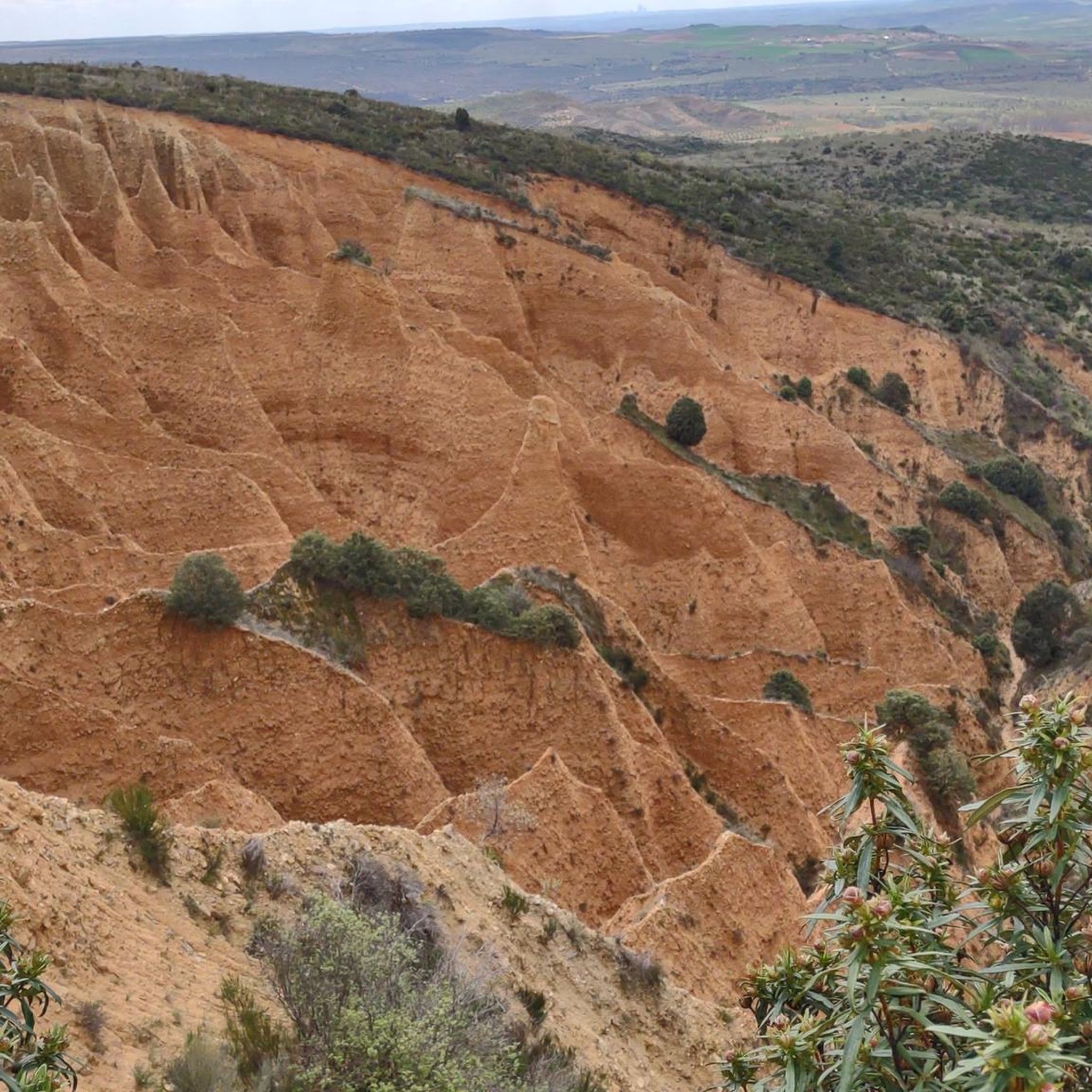
A good mid-hill path allows you to enjoy the Hoces from El Monasterio de Bonaval to the Medieval Bridge of Valdesotos. In the Caves of the walls, there is a lot of history and prehistory.
1
0
Visit them when the Arroyo del Soto carries a lot of water.
1
0

Nice waterfall with pool 2 pools that have the same name. It is recommended to come and see them after a rainy episode.
1
1
Frequently Asked Questions
What unique geological features can I explore around Tamajón?
The Tamajón area is renowned for its captivating karst landscapes, particularly the Ciudad Encantada de Tamajón and the broader Karst de Tamajón. These regions feature whimsical natural rock sculptures, including bridges, obelisks, balconies, and arches, carved by millennia of erosion. You can also find numerous caves, some with stalactites and stalagmites, offering opportunities for speleology.
Are there any notable gorges or ravines to visit near Tamajón?
Yes, the region offers several impressive gorges and ravines. The Hoces del Jarama is a must-see, where the Jarama river carves its way between large limestone rock walls. Another engaging option is the Trail in the ravine, which is part of the GR-60, offering scenic views through the Sierra Norte of Guadalajara.
What are the most popular hiking destinations around Tamajón?
Among the most popular hiking destinations is the Aljibe Waterfall, known for its spectacular views along the route, especially after rain. The Hoces del Jarama also offers a popular mid-hill path. For a unique experience, explore the Senda de la Muralla China of Guadalajara, which features a wild landscape and zigzag trails.
What is the best time of year to visit the canyons and karst areas of Tamajón?
The best time to visit is generally during spring or autumn when the weather is mild and pleasant for hiking and exploration. Spring is particularly recommended if you wish to see the Aljibe Waterfall with significant water flow. Summers can be hot, while winters might offer a different, quieter experience, but some trails could be more challenging.
Are there family-friendly hiking options or attractions in the Tamajón area?
While specific family-friendly trails are not detailed, the unique rock formations of the Ciudad Encantada de Tamajón offer an imaginative and engaging experience for all ages, making it suitable for family exploration. The broader Karst de Tamajón also provides scenic landscapes for leisurely walks.
Can I bring my dog on the trails around Tamajón?
Information regarding dog-friendly trails is not explicitly provided in the guide data. However, many natural areas in Spain are generally dog-friendly, especially on leash. It's always advisable to check local regulations or signage at trailheads for specific restrictions before heading out with your pet.
What other outdoor activities can I do near the canyons of Tamajón?
Beyond exploring the canyons, the Tamajón area is excellent for various outdoor activities. You can find numerous hiking routes, such as those detailed in the Hiking around Tamajón guide, including the moderate 'Arcipreste de Hita Trail'. The wider Karst de Tamajón is also a popular spot for rock climbing. For runners, there are challenging trails like the GR 60 Pueblos de la Arquitectura Negra, as highlighted in the Running Trails around Tamajón guide.
Are there any viewpoints offering panoramic scenery?
Yes, many of the trails and natural features in the Tamajón area offer spectacular views. The path leading to the Aljibe Waterfall provides scenic vistas. The Trail in the ravine (GR-60) also offers engaging views of the Sierra Norte. Additionally, the esplanade of the Ermita de los Enebrales within the Karst de Tamajón provides beautiful scenery, including views of the Sierra Norte.
What is the difficulty level of hiking trails in the Tamajón canyons area?
Many trails in the Tamajón area are rated as intermediate. For example, the access to the Aljibe Waterfall is described as steep and difficult, requiring caution. The Hoces del Jarama and the Trail in the ravine are also considered intermediate. Some routes, like those found in the Running Trails around Tamajón guide, can be quite challenging.
Are there any historical or cultural sites within the canyon areas?
Within the Hoces del Jarama, the caves in the limestone walls are known to hold significant historical and prehistoric importance. Additionally, the Ermita de la Virgen de los Enebrales, surrounded by juniper trees, is a cultural landmark situated within the Ciudad Encantada de Tamajón.
Where can I find extensive juniper forests in the Tamajón region?
The Ciudad Encantada de Tamajón is nestled within one of the largest juniper forests on the Iberian Peninsula, known as the Sabinar de Tamajón. This area, especially near the Ermita de la Virgen de los Enebrales, offers significant ecological and botanical value, providing a rich natural environment to explore.
Is there a place for wild swimming near the canyons?
While not explicitly described as a wild swimming spot, the Pozo de los Ramos, a small reservoir on the Sorbe river within the wider Karst de Tamajón, features steep banks and is a beautiful natural area. The Aljibe Waterfall also has pools, which are best seen after a rainy episode, but caution is advised due to the steep access.
Most popular attractions around Tamajón

Get inspired with the komoot mobile app


Explore more
Already discovered everything in this region? See additional gorges around Tamajón for your next adventure:
