Top 7 Caves around Vélez De Benaudalla
Caves around Vélez De Benaudalla are located within a municipality in the province of Granada, offering a variety of subterranean sites. The region features natural formations shaped by water erosion, historical mining sites, and significant speleology locations. These sites provide insights into the area's geological processes, industrial heritage, and ancient human activity. The landscape includes deep fluvial gorges and historic gardens, contributing to diverse cave environments.
Best caves around Vélez De Benaudalla
- The most popular caves is Captain's Cave Tunnel…
Last updated: May 22, 2026
Cerro del Toro Mines
Highlight • Historical Site
Translated by Google •
Tip by

Captain's Cave Tunnel
Highlight • Cave
Translated by Google •
Tip by
Sign up now to discover places like this
Get recommendations on the best single tracks, peaks, & plenty of other exciting outdoor places.
Sign up for free
Picnic Area at Tajo de las Cuevas
Highlight • Rest Area
Translated by Google •
Tip by

Pico del Águila
Highlight • Summit
Translated by Google •
Tip by
Olías Caves
Highlight • Cave
Translated by Google •
Tip by
Sign up for free to discover even more caves around Vélez De Benaudalla.
Sign up for free
Already have an account?
Start today with a free account
Your next adventure awaits.
Login or Signup

Tips from the Community


Halfway between the Béznar reservoir and Pinos del Valle. It has several tables, most of them sheltered from the sun. Its peculiarity is that it is a large hole in the mountain that is used precisely as a picnic area.
1
0

Rockroses, male rosemary, torvizco shrubs, junipers, small olive trees, wild olive trees, thyme, broom, espartal grass and many other species typical of a coastal ecosystem, which receives a high level of humidity, with real surprises among its most characteristic species. This is the case of Teucrium rixanense, whose name refers to the Rijana and is considered an endemic species of this small territory, where it is also possible to find Mediterranean orchids, some of them very rare.
1
0
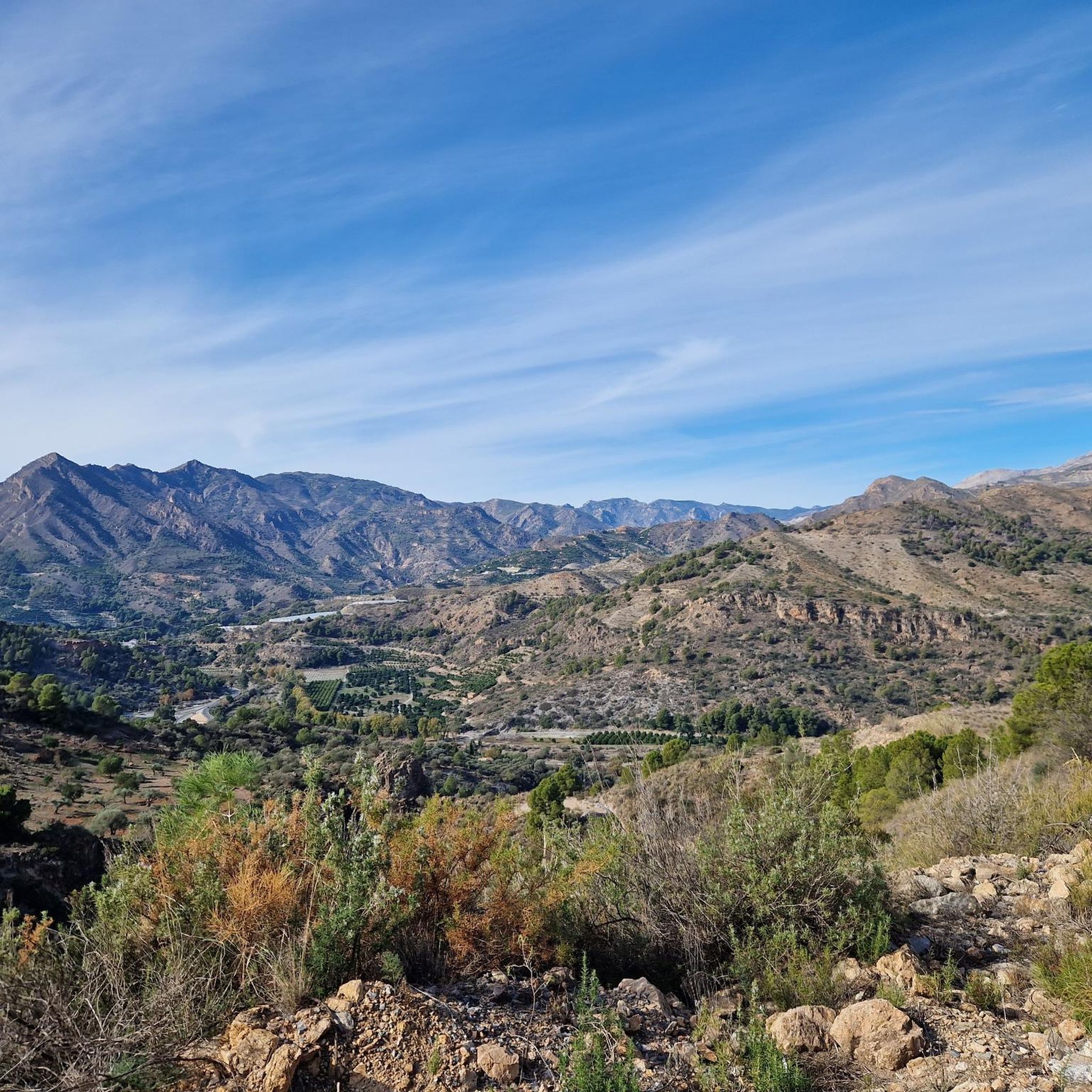
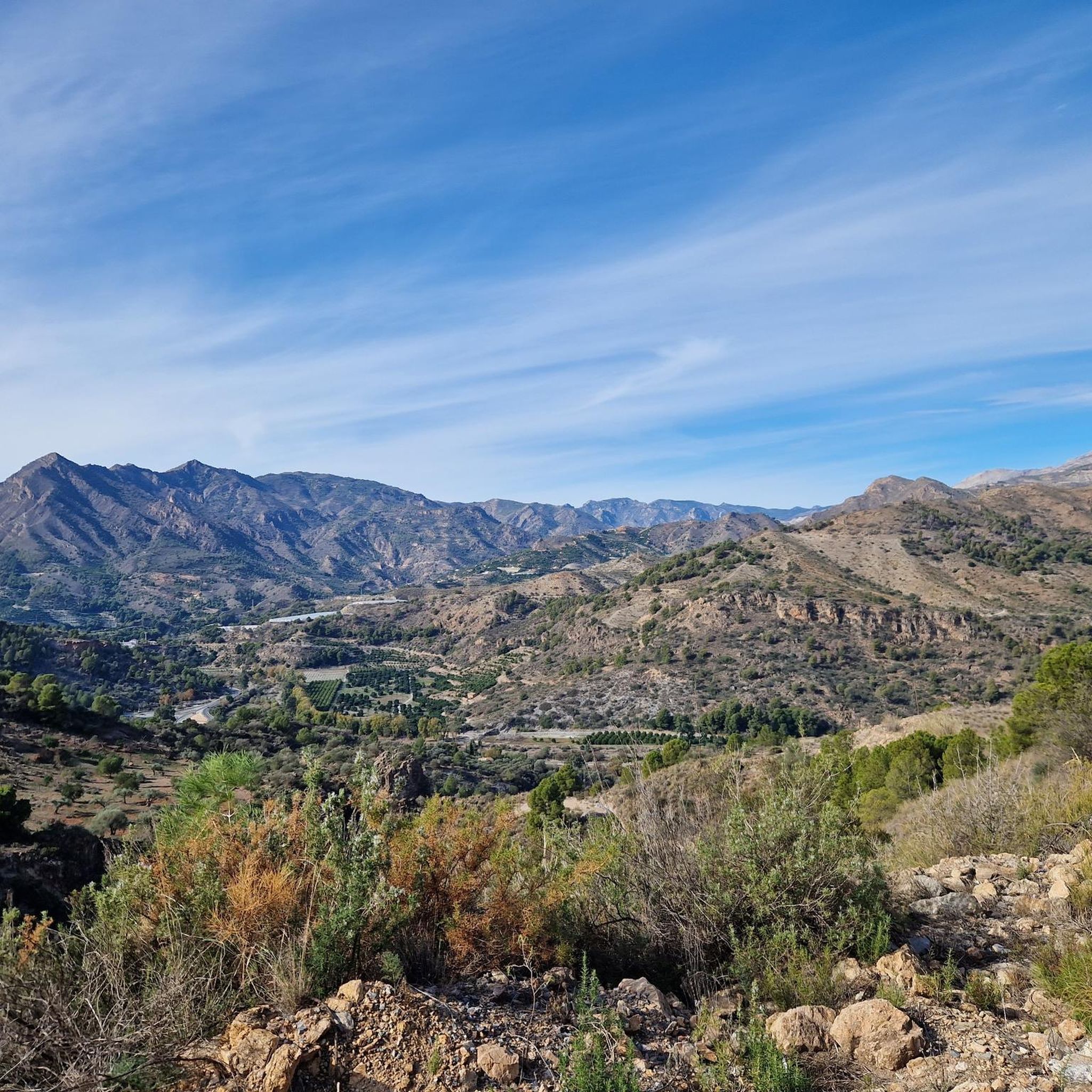
Going up to the Águila peak is one of the most attractive and easy routes that can be done on the eastern coast of Granada, since it combines landscape, with impressive views of both the marine strip and the interior, with the Lújar and Contraviesa mountains, and They show a sequence of ecosystems that are part of the purest thermo-Mediterranean and Mesomediterranean bioclimatic floor in the highest areas. From the road between Gualchos and El Conjuro, a little more than two kilometers away, there is a lane that connects directly with the trails to the highest peak on the Granada coast. Only 1.5 kilometers that show slopes cultivated with almond trees and areas of esparto trees where the original ecosystem degraded by the passage of time and climate emerges. After the lane, the path continues towards an old disused shooting range, a point where the calar begins, an ecosystem of limestone rocks and marble that becomes karstic towards the highest point of the Águila summit.
1
0
The osprey was habitual on the cliffs located between Calahonda and Castell de Ferro and its flights over the sea and the summits of the surrounding hills gave its name to the highest of the watchtowers that dominate the coast, the Pico del Águila, located on the town of Gualchos, a hill that rises between two ravines that flow into Rijana and Rijanilla, two anchorages used since the dawn of navigation and especially by the Romans and the first Umayyads to arrive on the Peninsula. The peak is the great vantage point from which you can see the entire eastern coastline of Granada and the rocky cliffs and cliffs that plunge down to the Calahonda and Carchuna delta, a karstic area, a cove of rocks sharpened by the wind, which They generate a peak on the ridged orography of the hill. settlers It is a territory in which the last Roman settlers of the coast of Granada sought refuge, forgotten by Rome at the time of the fall of the Empire.
1
0
In the Olias ravine are these caves formerly used as corrals.
1
0
These are some old mines called Cerro del Toro, these mines are closed, no minerals are extracted anymore, there were simply a few years when they were shown to the public and tourism, but the little movement of people ended up closing, these mines are inside It houses an underground lagoon besieging its precipitous passageways to the interior, if you ever consider visiting it, perhaps you can do it with a small qualified group prepared and requesting permission from the town hall, warning, do not venture inside alone, there are many dangers.
0
0
Frequently Asked Questions
What are some easily accessible caves in Vélez de Benaudalla?
The Caves of the Nasrid Garden, located within the beautiful Vertical Garden of Vélez de Benaudalla, are easily accessible. They offer a blend of natural beauty and historical garden design, providing a serene experience with impressive stalactites and stalagmites.
Are there caves with historical or archaeological significance in the region?
Yes, the Captain's Cave Tunnel near Lobres holds historical significance, with Neolithic artifacts found there. The Cerro del Toro Mines are also a historical site, with archaeological remains from the Chalcolithic age and ceramics from the 8th-13th centuries. Additionally, the Olías Caves were historically used as corrals for cattle.
Can families visit caves in Vélez de Benaudalla?
Yes, the Caves of the Nasrid Garden are family-friendly and offer a cool escape during summer. The Picnic Area at Tajo de las Cuevas is also a large natural shelter in the mountain, perfect for families to enjoy a meal.
What kind of natural formations can be found in the caves?
The Caves of the Nasrid Garden feature natural formations such as stalactites and stalagmites, including a main cave with a column formed by their merging. The Water Cave within the garden showcases continuously growing overhangs, tunnels, and grottoes. The Captain's Cave Tunnel also contains various nooks with beautiful water-formed features and occasional stalactites.
Are there options for experienced cavers or speleologists?
Yes, the Vados Canyon, near Vélez de Benaudalla, is a prime destination for experienced speleologists. It features sites like Sima Redonda, a chasm noted for its 76-meter depth, and the Cave of the "Barranco de Iñate," which extends 1.5 kilometers. These locations require specialized equipment and advanced knowledge of caving techniques.
What outdoor activities can I combine with a visit to the caves?
The region offers various outdoor activities. You can find numerous hiking routes, such as the 'Hiking loop from Vélez de Benaudalla' or 'Cerro del Toro loop', by exploring Hiking around Vélez De Benaudalla. For mountain biking, the Captain's Cave Tunnel is part of an MTB route, and you can find more trails at MTB Trails around Vélez De Benaudalla. Cycling routes are also available, including challenging options like 'View of Restábal – Nazari Bridge of Tablate loop' at Cycling around Vélez De Benaudalla.
What is the historical significance of the Cerro del Toro Mines?
The Cerro del Toro Mines are old, disused mines that represent a significant piece of the region's industrial and archaeological heritage. They were primarily exploited for zinc, galena, and fluorite. Archaeological remains from the Chalcolithic age and ceramics from the 8th-13th centuries have been identified in the area, linking them to ancient mining activities.
Are there any caves known for their unique water features?
Yes, the Water Cave within the Nasrid Garden is notable for water constantly running down the rock, creating impressive, continuously growing formations. The Captain's Cave Tunnel also houses a small pool of crystalline water and various formations created by water, known for its high humidity.
What should I know about visiting the more challenging cave sites like Sima Redonda?
Sites like Sima Redonda and the Cave of the "Barranco de Iñate" in the Vados Canyon are not recommended for casual visitors. They are significant speleology sites requiring specialized equipment and advanced knowledge of caving techniques due to their depth and extensive underground exploration opportunities.
Are there any caves that were historically used for purposes other than mining?
Yes, the Olías Caves, located in the Olías ravine, were historically utilized as corrals for cattle. Their primary appeal lies in their connection to past agricultural practices and traditional rural life around Vélez de Benaudalla.
Is there a good time of year to visit the caves in Vélez de Benaudalla?
The Caves of the Nasrid Garden offer a cool escape during summer, making them particularly pleasant during warmer months. For more challenging speleology, conditions might vary, but generally, spring and autumn offer milder weather for outdoor activities in the region.
Are there any caves that are part of a specific trail or route?
The Captain's Cave Tunnel is situated near Lobres and is part of an MTB route, offering an adventurous exploration opportunity for those following the trail.
Most popular routes around Vélez De Benaudalla
Most popular attractions around Vélez De Benaudalla

Get inspired with the komoot mobile app


Explore more
Extend your search for the best caves by checking out these guides of the top ones around Vélez De Benaudalla:
