The best road cycling routes around Krunkel
4.6
(152)
1,630
riders
104
rides
Road cycling routes around Krunkel navigate a landscape characterized by riverine environments, meadows, and forests. The region features rolling hills and the Wied Valley, offering varied terrain for cyclists. Ascents to the Westerwaldhöhen provide elevation gains, while continuous cycle paths are available along the valley floor. This area provides diverse road cycling opportunities across its natural features.
Best road cycling routes around Krunkel
- The most popular road cycling route is Ascent from Wied to Westerwald – Raiffeisen House Flammersfeld loop…
Last updated: May 24, 2026
4.3
(4)
55
riders
66.2km
03:02
730m
730m
Moderate road ride. Good fitness required. Some segments of this route may be unpaved and difficult to ride.
24
riders
Moderate road ride. Good fitness required. Mostly well-paved surfaces and easy to ride.

Sign up for free
2.0
(1)
19
riders
34.8km
01:44
520m
520m
Moderate road ride. Good fitness required. Mostly well-paved surfaces and easy to ride.
14
riders
Moderate road ride. Good fitness required. Mostly well-paved surfaces and easy to ride.
3.0
(1)
17
riders
34.8km
01:39
390m
390m
Moderate road ride. Good fitness required. Some segments of this route may be unpaved and difficult to ride.
Get access to more routes and recommendations from other explorers.
Sign up for free
Already have an account?
Our route recommendations are based on thousands of hikes, rides, and runs completed by other people on komoot.
Start today with a free account
Your next adventure awaits.
Login or Signup
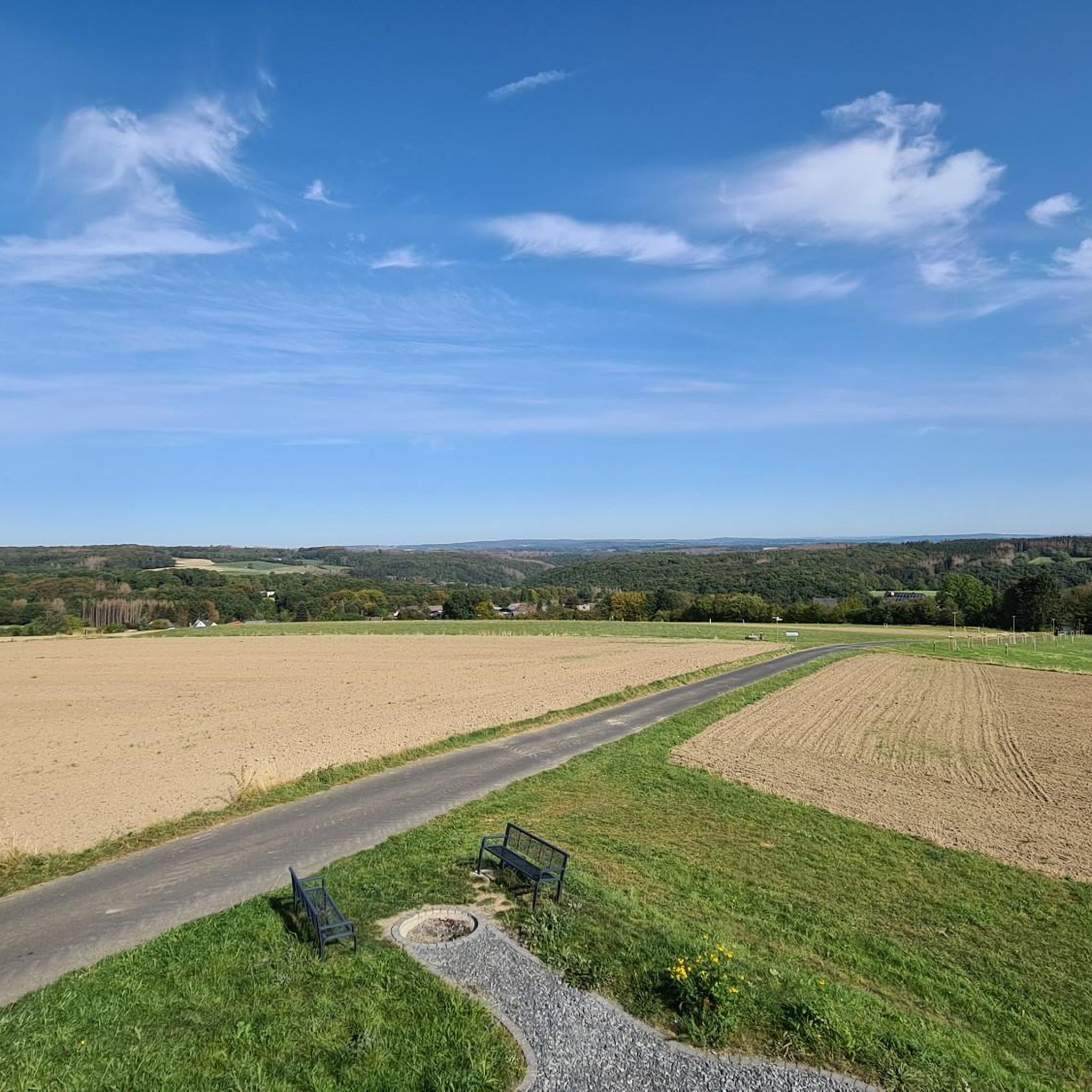
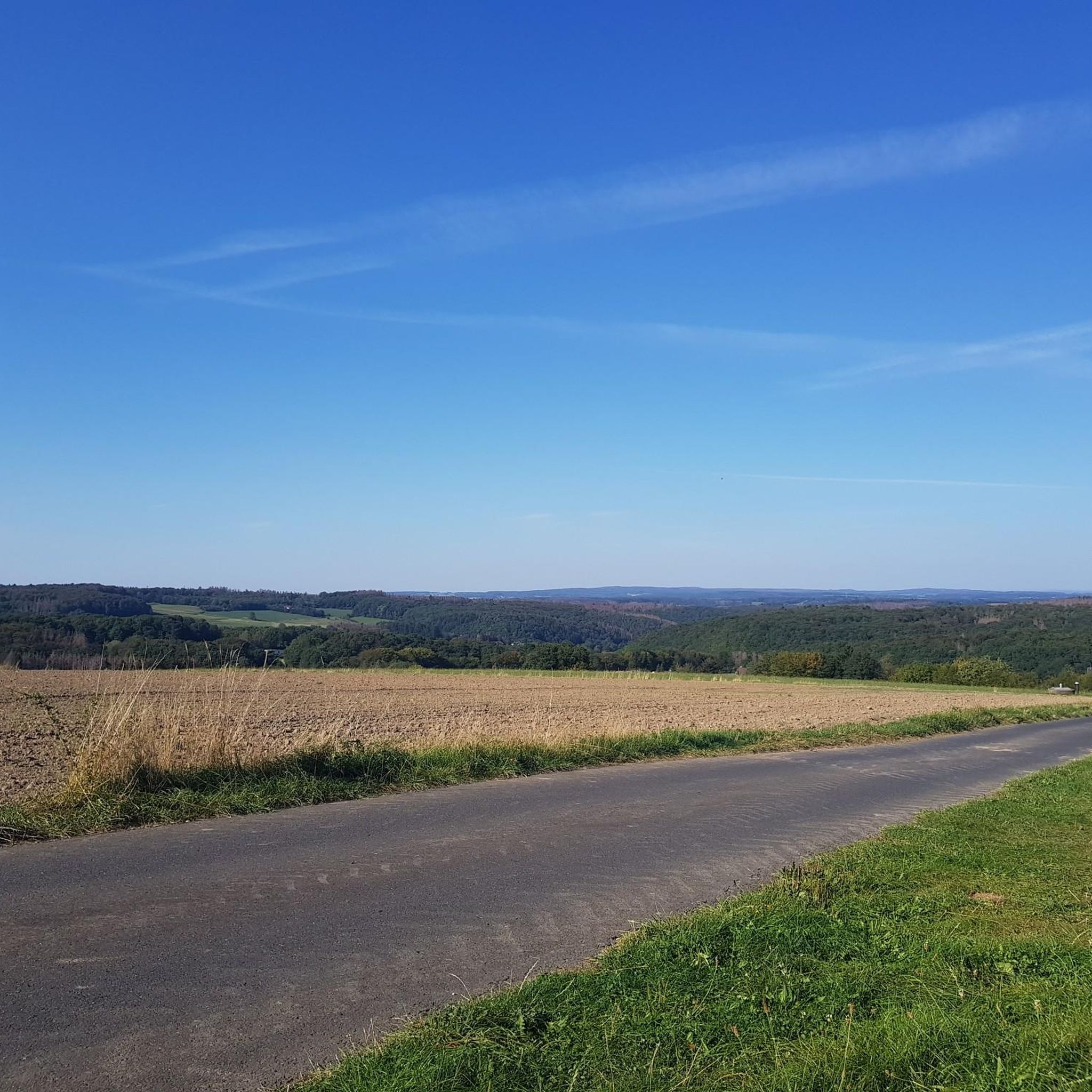
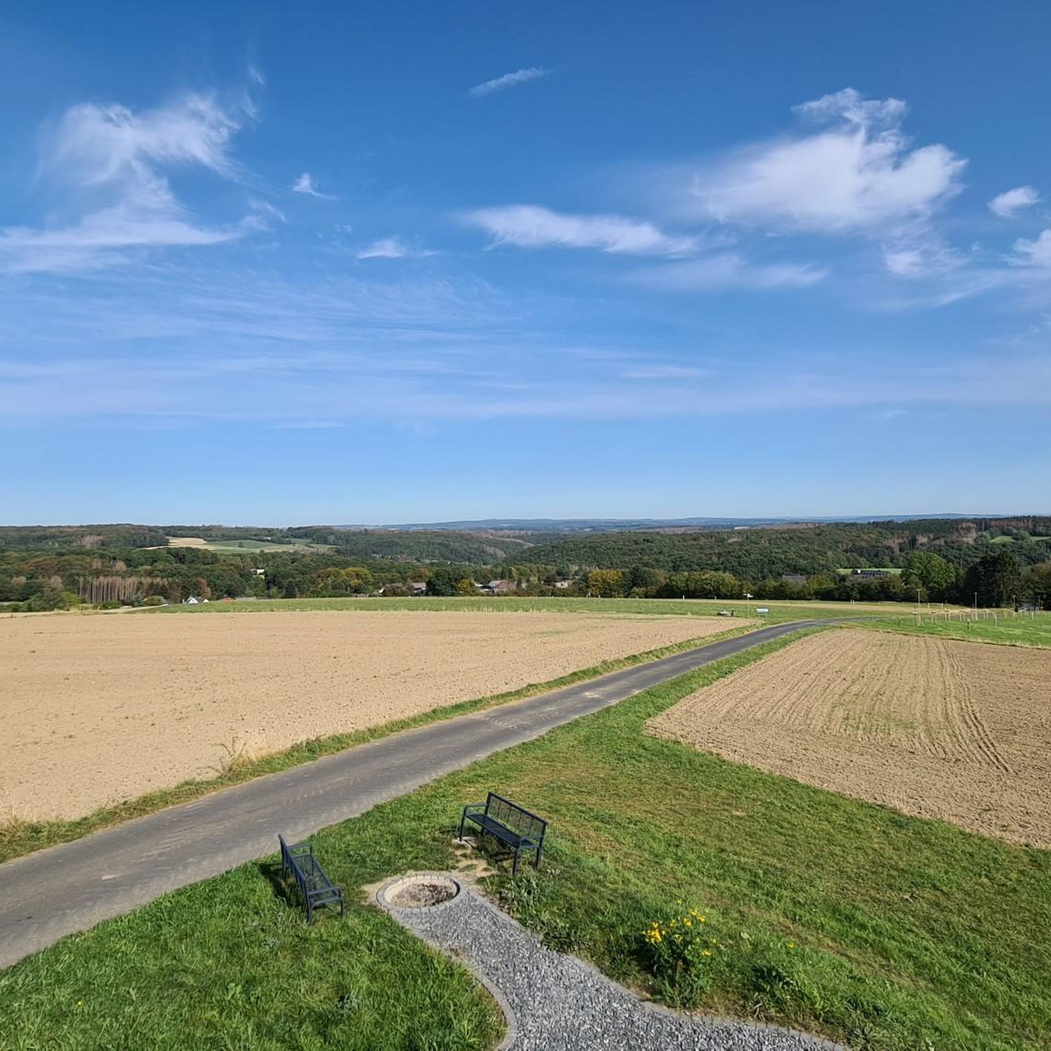
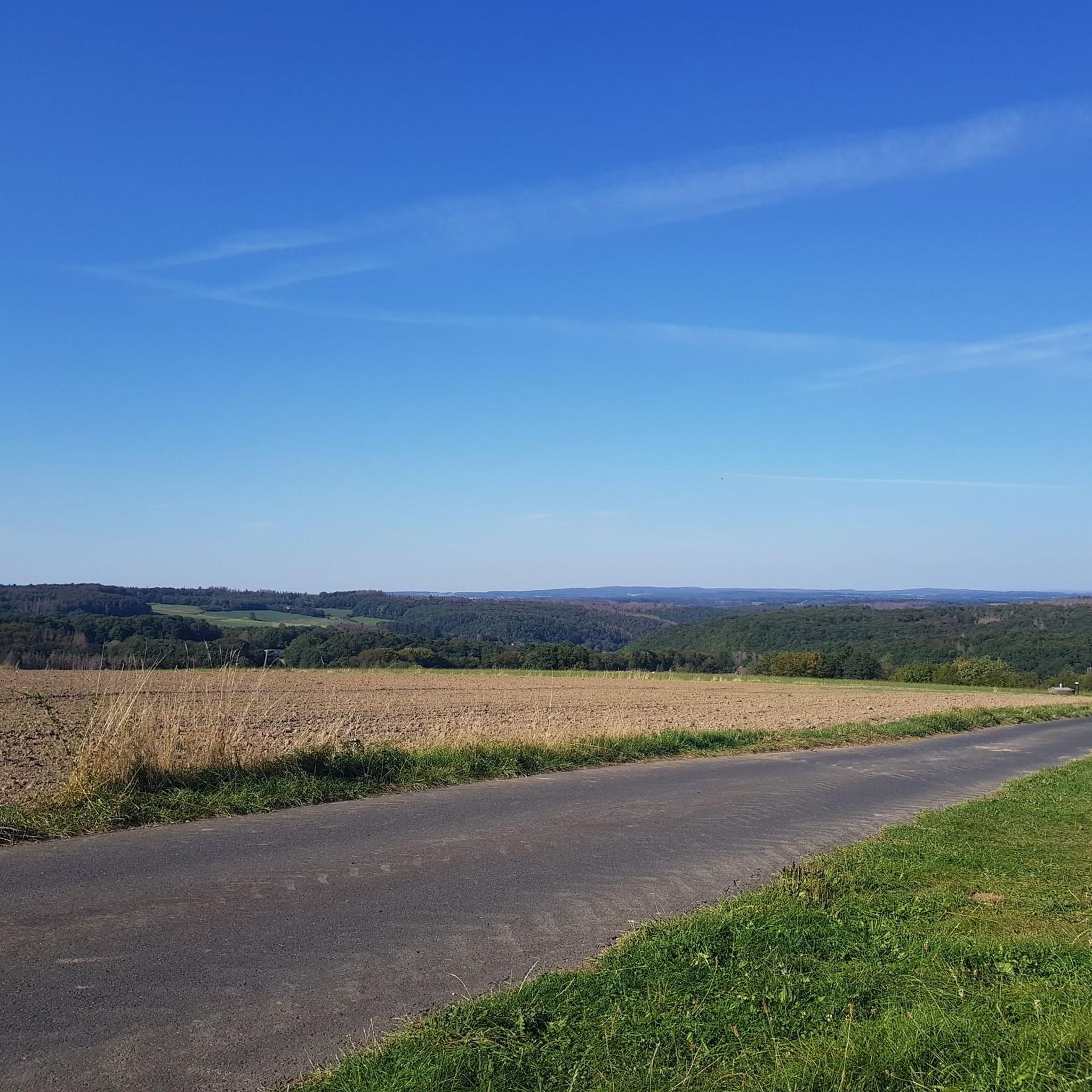
Tips from the Community

There used to be infrastructure there; it would be nice if it were still there.
0
0

A magnificent church building. The interior was also accessible for a short prayer service.
0
0
A beautiful historical ensemble. You can still easily imagine life in prehistoric times here.
0
0

"On Palm Sunday, March 25, 1945, the town was bombed and half destroyed during the Allied advance. The town suffered 71 casualties at that time. More than 50 houses were completely destroyed, and many of the remaining houses suffered significant damage. One day later, on March 26, 1945, Dierdorf was occupied by US Army troops after brief skirmishes with the retreating remnants of the Wehrmacht. According to American sources, 67 Martin B-26 "Marauder" bombers flew the air raid on Dierdorf. They dropped a total of 272 bombs over the target area in eight waves. Each bomb weighed 450 kg." https://de.wikipedia.org/wiki/Dierdorf
0
0

Small parking lot for 2-3 cars and a rest area.
1
0
Tunnels with light switches are not something you see every day
0
0

this place is wonderful
0
0

Unfortunately not a nice road surface
1
0
Frequently Asked Questions
How many road cycling routes are available around Krunkel?
Krunkel offers a wide variety of road cycling opportunities, with over 100 routes available. These routes cater to different fitness levels, ranging from easy rides to more challenging ascents.
What kind of terrain can I expect on road cycling routes in Krunkel?
The terrain around Krunkel is diverse, characterized by riverine environments, meadows, and forests, particularly in the Wied Valley. You'll encounter rolling hills and continuous cycle paths along the valley floor, as well as more strenuous ascents into the Westerwaldhöhen, which offer stunning views.
Are there routes suitable for beginners or less experienced road cyclists?
Yes, Krunkel has routes suitable for all abilities. There are 14 easy road cycling routes available, often found along the valley floor, providing a gentler experience for beginners or those looking for a relaxed ride.
What natural features or landmarks can I see along road cycling routes in Krunkel?
Road cycling routes in Krunkel often pass by significant natural features and historical sites. You might encounter the impressive Laubach Waterfall, explore the scenic Wied Valley, or pass by the historic Ehrenstein Castle Ruins. Many routes also offer access to various viewpoints.
Are there challenging road cycling routes with significant climbs in Krunkel?
Absolutely. For those seeking a challenge, Krunkel offers 24 difficult road cycling routes. These often involve ascents from the Wied Valley up to the Westerwaldhöhen, providing substantial elevation gains and rewarding views. An example is the Wied Bridge in Datzeroth – Burg Ehrenstein Ruins loop from Krunkel, which is a difficult 91.3 km path with nearly 1000 meters of elevation gain.
Can I find circular road cycling routes around Krunkel?
Yes, many of the road cycling routes in Krunkel are designed as loops, allowing you to start and end at the same point. For instance, the popular Ascent from Wied to Westerwald – Raiffeisen House Flammersfeld loop from Breitscheid is a moderate 50.8 km circular route.
What is the best time of year for road cycling in Krunkel?
The region is generally well-regarded for cycling, with continuous cycle paths available. While specific seasonal advice isn't provided, spring through autumn typically offers the most pleasant weather conditions for road cycling in this type of landscape, allowing you to fully enjoy the riverine environments, meadows, and forests.
Are there places to stop for refreshments or meals along the routes?
Yes, the region offers amenities for cyclists. The Laubachsmühle water wheel is mentioned as a place where you can stop for a meal or a drink. Many towns and villages along the routes will also have cafes and pubs for refreshments.
What do other road cyclists say about the routes in Krunkel?
The road cycling routes in Krunkel are highly rated by the komoot community, with an average score of 4.7 stars from over 100 reviews. More than 1,500 road cyclists have used komoot to explore Krunkel's varied terrain, often praising the diverse landscapes and well-maintained paths.
Are there any specific viewpoints worth visiting on a road cycling tour?
Yes, the region boasts several viewpoints that offer panoramic vistas. The Viewpoint Almblick and the View from Bertenauer Kopf Shelter are notable spots where you can take a break and enjoy the scenery. Ascents to the Westerwaldhöhen also provide stunning views back into the Wiedtal.
Is public transport accessible for reaching road cycling routes in Krunkel?
While the guide focuses on the routes themselves, the region is generally accessible. For specific public transport options to reach starting points, it's advisable to check local transport schedules, as Krunkel is well-connected within its regional network.
What are the parking options for road cyclists in Krunkel?
Parking availability will vary depending on your chosen starting point. Many towns and villages that serve as route access points typically offer public parking. It's recommended to check specific parking facilities at your intended starting location before your ride.
Most popular attractions around Krunkel

Get inspired with the komoot mobile app


Explore more
Browse the best Road cycling routes in other regions.
