The 6 Most Amazing Peaks around Ål
Mountain peaks around Ål, situated in the Hallingdal valley in Eastern Norway, offer diverse experiences for hikers. The region's landscape features high mountain terrain, alpine meadows, and dense forests. Many areas are situated above 900 meters, providing varied trails and natural features. These peaks provide panoramic views and insights into local history and culture.
Best mountain peaks around Ål
- The most popular mountain peaks is Gjeiteberget (834 m), a summit that offers a super nice place to stay and…
Last updated: May 19, 2026
Totten Summit
Highlight • Summit
Translated by Google •
Tip by

Gjeiteberget (834 m)
Highlight • Summit
Translated by Google •
Tip by

Sign up now to discover places like this
Get recommendations on the best single tracks, peaks, & plenty of other exciting outdoor places.
Sign up for free
Hellekallen Summit
Highlight • Summit
Translated by Google •
Tip by

Totten
Highlight • Summit
There is a very beautiful view from the top.
Tip by

View from Dugurdsnatten
Highlight • Viewpoint
Tip by

Sign up for free to discover even more peaks around Ål.
Sign up for free
Already have an account?
Start today with a free account
Your next adventure awaits.
Login or Signup

Other adventures around Ål

Tips from the Community


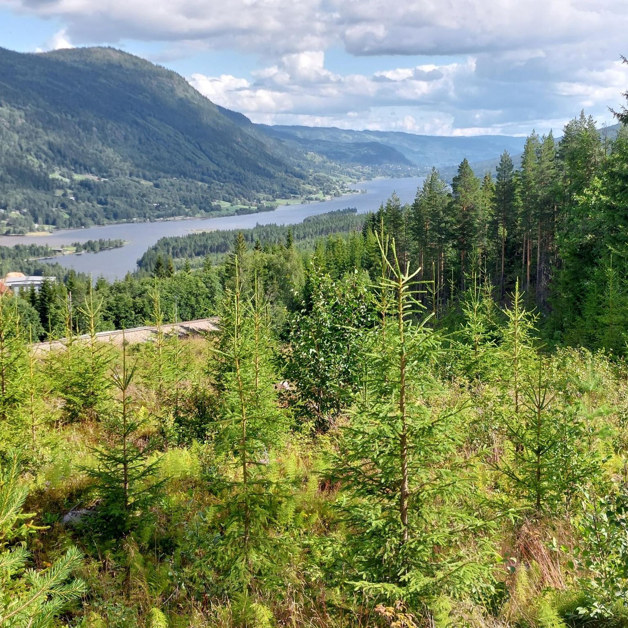
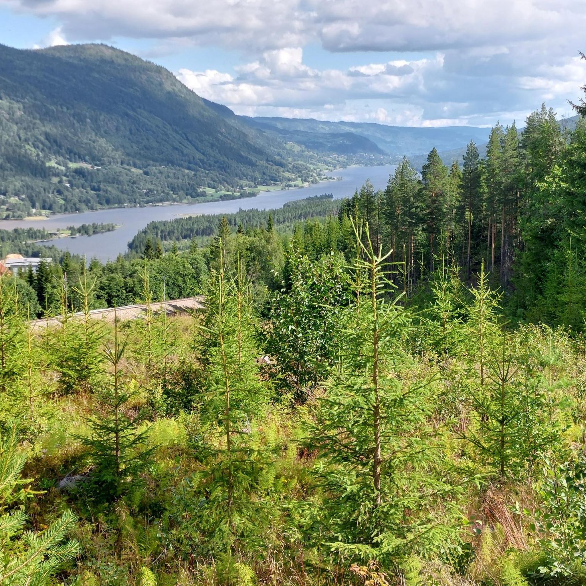
A super nice place to stay and have a picnic. The rocks with a beautiful view invite you to sit down.
0
0
The way to the summit is quite easy if you follow the blue dots. Before that, however, you have to be careful with some steeper gravel passages
0
0

A great challenging route for mountain bikers too.
0
0

From up here you have a beautiful view of Hemsedal. Seating is there
5
0

It is a steep hike (but not dangerous) from the motor club parking lot but the view is well worth the effort. 600 high meters over 2.6km. There is a stream close to the top for filling up water.
0
0
The Totten is the highest mountain in Hemsedal's piste map. A must for every skier or hiker. From there you have a fabulous view. Just wonderful!
1
0

Frequently Asked Questions
Which mountain peaks in Ål offer the most impressive panoramic views?
For breathtaking panoramic views, consider Dyna (1212 m), which provides vistas of Hallingskarvet, Reineskarvet, the Hemsedal mountains, and even the Hardangerjøkulen glacier. Lauvdalsbrea (1597 m) also offers exceptional views, potentially including Gaustatoppen on clear days. Grytingen (1462 m) and Mørehovda (1249 m) are also known for their fantastic vistas of Hallingdal and the surrounding mountain ranges.
Are there any family-friendly mountain hikes around Ål?
Yes, Ål offers several accessible and family-friendly options. Buhovda (1149 m) is a short, child-friendly round trip with impressive views. Sundreberget (702 m), known as 'The troll path,' is a popular local 4.5 km loop directly from the town center, featuring information signs. The Votndalsåsen area also has beautiful and easily accessible hikes, such as the Bleste, suitable for families.
What are some challenging mountain climbs in the Ål region?
For a challenging experience, Lauvdalsbrea (1597 m) is a 7 km round trip with steep, stony sections and some easy climbing. Grytingen (1462 m) is another demanding approximately 10 km round trip with a significant elevation gain. Dyna (1212 m) offers a medium-demanding round trip through varied high mountain terrain.
Can I find mountain peaks with historical or cultural significance in Ål?
Yes, the region's peaks offer glimpses into local history. Grytingen (1462 m) includes a section of an old trade route. Mørehovda (1249 m) in the Bergsjø area is steeped in history, with ancient bufa trails and mysterious rune drawings in the surrounding Djupedalen area. Buhovda (1149 m) features cultural monuments, such as old hunting installations dating back to 1500 BC.
What kind of natural features can I expect to see when hiking the mountain peaks around Ål?
Ål's mountainous landscape, with many areas above 900 meters, offers diverse terrain. You can expect to see alpine meadows, dense forests, and cascading waterfalls. Some trails, like Dyna and Mørehovda, traverse through varied terrain including boggy areas, streams, and marshy sections, so appropriate footwear is recommended.
What outdoor activities can I do near the mountain peaks in Ål?
Beyond peak bagging, Ål offers a variety of outdoor activities. You can explore numerous hiking trails, such as the 'Dyna – Dyna Summit (1212 m) loop from Bosset' or the 'Lauvdalsbrea loop from Lauvdalen'. For cycling enthusiasts, there are road cycling routes like the 'Access to Lake at Synsjøen – Scenic Side Road in Norway loop'. Running trails, including the 'Bleste loop', are also popular. You can find more details on these activities in the Hiking around Ål, Road Cycling Routes around Ål, and Running Trails around Ål guides.
Which mountain peaks are popular for their viewpoints and are highly rated by visitors?
Visitors frequently enjoy Totten Summit for its fabulous views, especially noted by skiers and hikers. Gjeiteberget (834 m) is a popular spot for picnics with beautiful views. Hellekallen Summit also offers a beautiful view over Hemsedal with seating available.
What is the best time of year to hike the mountain peaks in Ål?
While specific seasonal recommendations for each peak vary, the region's diverse terrain, from alpine meadows to dense forests, is generally best enjoyed during the warmer months when trails are clear of snow and ice. This allows for optimal conditions to experience the panoramic views and varied landscapes.
Are there any easily accessible mountain peaks directly from Ål town center?
Yes, Sundreberget (702 m) is a popular and easily accessible hike that starts directly from the town center of Ål. It offers a fantastic view over the center of Ål and Vestlia, making it ideal for a shorter, eventful hike.
What should I know about the terrain when planning a hike to Mørehovda?
Mørehovda (1249 m) offers moderately challenging hiking. The terrain is varied, featuring streams and marshy areas, so it is highly recommended to wear appropriate, waterproof footwear to ensure a comfortable and safe experience.
Where do hikes to some of the prominent peaks like Dyna and Grytingen typically start?
Hikes to Dyna (1212 m) typically start from Bosset. For Grytingen (1462 m), the trek usually begins from Breiset. These starting points provide access to the trails leading up to these peaks.
What makes the Votndalsåsen area appealing for hikers?
The Votndalsåsen area is known for its beautiful and easily accessible hikes, such as the Bleste, which cater to both families and mountain enthusiasts. The varied landscapes, from cozy cabin areas to lush moorland, offer panoramic views of the Hallingdal mountains. Additionally, visitors can enjoy bathing spots by the river Lya or purchase local products at farms, blending nature with tradition.
Most popular attractions around Ål

Get inspired with the komoot mobile app


