The 13 Most Amazing Peaks around Hjelmeland
Best mountain peaks around Hjelmeland showcase a diverse mountainous landscape in the heart of Ryfylke, Norway. The region features prominent peaks and fjords, providing varied terrain for hikers. Hjelmeland's natural environment includes significant rock formations and high summits, making it a destination for those seeking challenging treks and expansive views. The area is characterized by its rugged topography and offers opportunities for exploring natural features.
Best mountain peaks around Hjelmeland
- The most popular mountain peaks is Kjeragbolten, a natural…
Last updated: August 24, 2026
Kjeragbolten
Highlight • Natural Monument
Translated by Google •
Tip by

View of Preikestolen
Highlight • Viewpoint
Translated by Google •
Tip by

Sign up now to discover places like this
Get recommendations on the best single tracks, peaks, & plenty of other exciting outdoor places.
Sign up for free
Neverdalsfjell Summit
Highlight • Summit
Translated by Google •
Tip by

Kjeragbolten
Highlight (Segment) • Natural Monument
Translated by Google •
Tip by

Holtaheia Vickers Viking Crash Site
Highlight • Historical Site
The Viking left London at 13:29 on what was an estimated two and a half-hour charter flight. Between 16:24 and 16:30 it crashed 18 nautical miles north-east of the …
Tip by

Sign up for free to discover even more peaks around Hjelmeland.
Sign up for free
Already have an account?
Start today with a free account
Your next adventure awaits.
Login or Signup
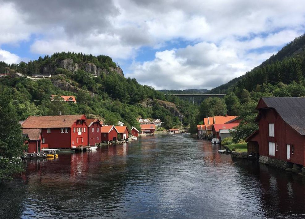
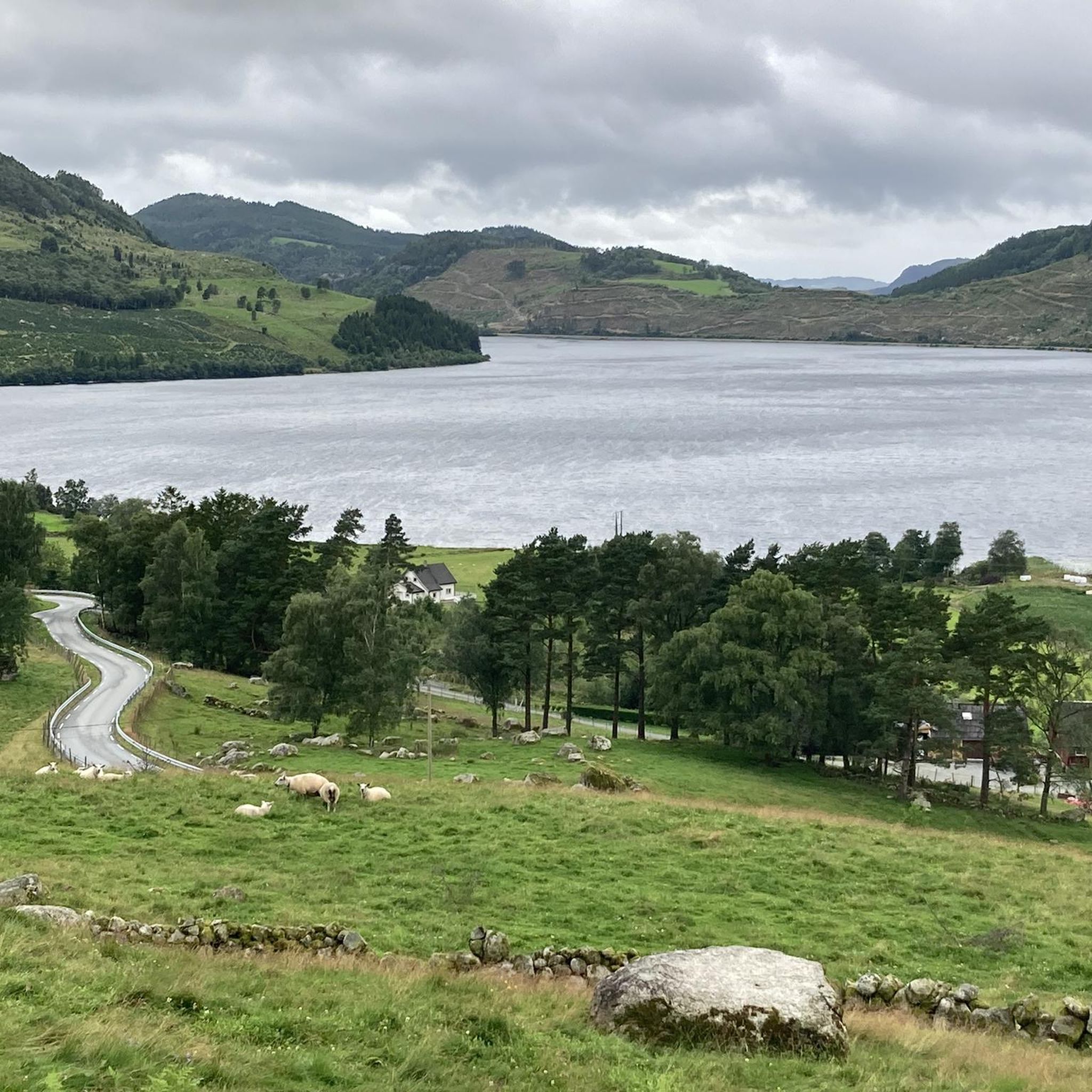

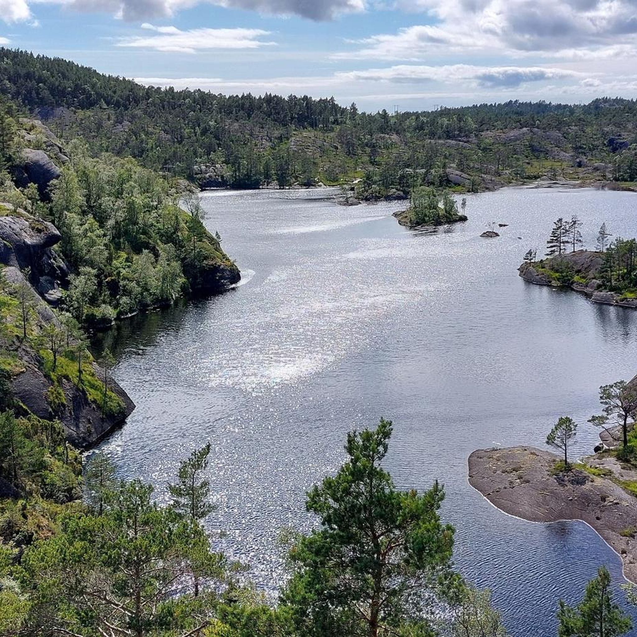
Other adventures around Hjelmeland

Tips from the Community

The hike to the summit is a true scenic highlight, with fantastic views of the fjord. The return route suggested by Komoot, off the main trail, seems like a good alternative to the busy path, but it's heavily overgrown, muddy, very time-consuming, and almost impossible to find without GPS. Without the Komoot map, we probably wouldn't have made it back to base camp. In retrospect, it was a cool experience, but during the hike, we weren't sure if we'd actually reach our destination. Very important: Make sure you have enough battery power on your phone! I recommend taking the same route back after visiting the summit and skipping the alternative route.
0
0

It is difficult to get to, because it is easy to lose the trail - be careful and vigilant. Do not go here in heavy fog or icy conditions unless you have the necessary skills and experience. The Komoot map was very helpful in reaching and descending the peak.
0
0
The trail is poorly marked - the Komoot map was helpful. Hand work is required in places. I advise against hiking in heavy fog or icy conditions for inexperienced hikers. The trail is definitely worth the effort for more experienced hikers - excellent views and landscape.
0
0

The pulpit in front of the fjord panorama looks spectacular from here.
1
1

Climb a little higher and enjoy absolute peace and a fabulous view while the crowds build up on Preikestolen.
2
0

Beautiful, especially up there above all the crowds of people where only a few people climb.
0
0

... makes you think, this place, almost all of them were still young people...
0
0

Sometimes the trail isn't very visible (red marks or circle). Look at the map if you are not sure, if your on the right path. The map worked very well for me. Closer to the top there are some small climbs (1-2 m in height).
0
0
Frequently Asked Questions
What are some of the most iconic mountain peaks to explore in Hjelmeland?
Hjelmeland is home to several iconic peaks. Kjeragbolten is a prominent natural monument known for its 1,000-meter vertical drop, offering a challenging ascent. Another significant peak is Skomakarnibbå, or 'The Shoemaker's Crag,' which rises 741 meters above the Jøsenfjord and provides magnificent panoramic views. Reinaknuten is also a notable 'rock giant' with expansive views of fjords and mountains, historically serving as a sea marker.
What kind of terrain and difficulty can I expect on Hjelmeland's mountain trails?
The mountain trails in Hjelmeland vary in difficulty. Peaks like Kjeragbolten and Skomakarnibbå are considered demanding, requiring good fitness and proper gear due to steep sections and significant height differences. For example, the hike to Skomakarnibbå is approximately 12 kilometers round trip with about 400 meters of elevation gain. Trails often pass through varied scenery, from pine and birch groves to heath vegetation, and can include rocky, uneven paths.
When is the best time to visit Hjelmeland for mountain hiking?
The hiking season for many of Hjelmeland's mountain peaks, such as Skomakarnibbå, typically runs from May to the end of October. During winter, trails can be very slippery and unsuitable for hiking due to snow and ice. Always check local conditions before heading out, as weather in the mountains can change rapidly.
Are there any historical sites or unique natural features among the peaks?
Yes, Hjelmeland offers both historical and unique natural features. Reinaknuten's path traverses an ancient trade route and one of the oldest settlement areas of the west coast. Additionally, you can visit the Holtaheia Vickers Viking Crash Site, a poignant historical site located on a steep mountainside. Natural features include the distinctive rock formation of Skomakarnibbå and the famous Kjeragbolten, a boulder wedged between two cliffs.
What do visitors enjoy most about the mountain peaks in Hjelmeland?
Visitors frequently praise the magnificent views and the sense of accomplishment from challenging hikes. For instance, the Neverdalsfjell Summit is loved for its terrific panoramic views, offering an escape from busier paths. Many also appreciate the unique natural formations like Kjeragbolten and the peaceful, expansive perspectives from viewpoints such as the View of Preikestolen.
Are there any challenging climbs for experienced mountain hikers in Hjelmeland?
Absolutely. For experienced mountain hikers seeking rigorous challenges, peaks like Kyrkjenuten and Vassdalseggi are recognized for their demanding ascents and stunning, unparalleled views. The Neverdalsfjell Summit also offers a challenging path recommended for those with a good sense of direction and experience in mountain terrain.
What outdoor activities can I do near these mountain peaks?
Beyond hiking to the peaks, Hjelmeland offers a variety of outdoor activities. You can explore numerous mountain hikes, including routes like the 'View of Edlandsvatnet – Preikestolen (Pulpit Rock) loop' or the 'Ternevatnet loop.' For cycling enthusiasts, there are challenging road cycling routes such as the 'Snigleskaret – Tysdalsvatnet Lake loop,' and mountain biking trails like the 'Scenic viewpoint over the fjord loop.' You can find more details on these activities in the Mountain Hikes around Hjelmeland, MTB Trails around Hjelmeland, and Road Cycling Routes around Hjelmeland guides.
Are there any family-friendly or dog-friendly hiking options in Hjelmeland?
While many of the prominent peaks in Hjelmeland are quite demanding, the region's diverse landscape with its fjords, mountains, forests, and waterfalls ensures there are options for various levels. For specific family-friendly or dog-friendly recommendations, it's best to check individual route descriptions within the Mountain Hikes around Hjelmeland guide, as difficulty and suitability can vary greatly.
What are the parking and public transport options for accessing mountain trails in Hjelmeland?
For popular trails like Kjeragbolten, parking is available at the eastern starting point, typically for a fee (e.g., 100 NKr). This location also often includes facilities like toilets and a restaurant. Public transport access to specific trailheads can be limited, so planning ahead is crucial. Consider combining your trip with a ferry ride across the Lysefjord, which can offer scenic views and access to certain areas, but check schedules and book in advance.
Are hiking permits required for mountain trails in Hjelmeland?
The provided information does not indicate that specific hiking permits are required for general access to mountain trails in Hjelmeland. However, it's always advisable to respect local regulations and private land, and to check for any updated information from local tourism boards or park authorities before your visit.
Where can I find a good viewpoint with less crowds?
If you're looking for a peaceful and expansive perspective away from the main crowds, the View of Preikestolen offers a clear view over to Preikestolen itself. Climbing a little higher from the main path can provide absolute peace and a fabulous view while the crowds gather on the more famous rock.
What should I wear for hiking in Hjelmeland, especially in autumn?
When hiking in the mountains of Hjelmeland, especially in autumn, it's crucial to be prepared for changing weather conditions. Mountable equipment, including sturdy footwear, is compulsory. Layered clothing is recommended, as temperatures can fluctuate, and the weather can change quickly. Waterproof and windproof jackets and pants are advisable. Always prioritize good quality gear for safety and comfort.
Most popular attractions around Hjelmeland

Get inspired with the komoot mobile app


Explore more
See even more amazing summits around Hjelmeland with these guides:
