The 5 Most Amazing Peaks around Lund
Best mountain peaks around Lund are characterized by elevated points and hills rather than traditional mountain peaks. The city's geography features an agricultural district with varying elevations, from approximately 9 meters near the Höje River to about 90 meters in the north. While Lund itself does not have mountains, several elevated areas within and near the city offer panoramic views and recreational opportunities. These locations provide diverse landscapes for outdoor activities.
Best mountain peaks around Lund
- The most popular mountain…
Last updated: October 31, 2026
View from Brufjell
Highlight • Viewpoint
Translated by Google •
Tip by

Eigeli Summit Logbook
Highlight • Summit
Showing Translation
Tip by

Sign up now to discover places like this
Get recommendations on the best single tracks, peaks, & plenty of other exciting outdoor places.
View of Jøssingfjord from Hellarsheia Plateau
Highlight • Viewpoint
Translated by Google •
Tip by
Træla Mountain
Highlight • Summit
Translated by Google •
Tip by

Storeheia Summit
Highlight • Summit
Tip by

Start today with a free account
Your next adventure awaits.
Tips from the Community

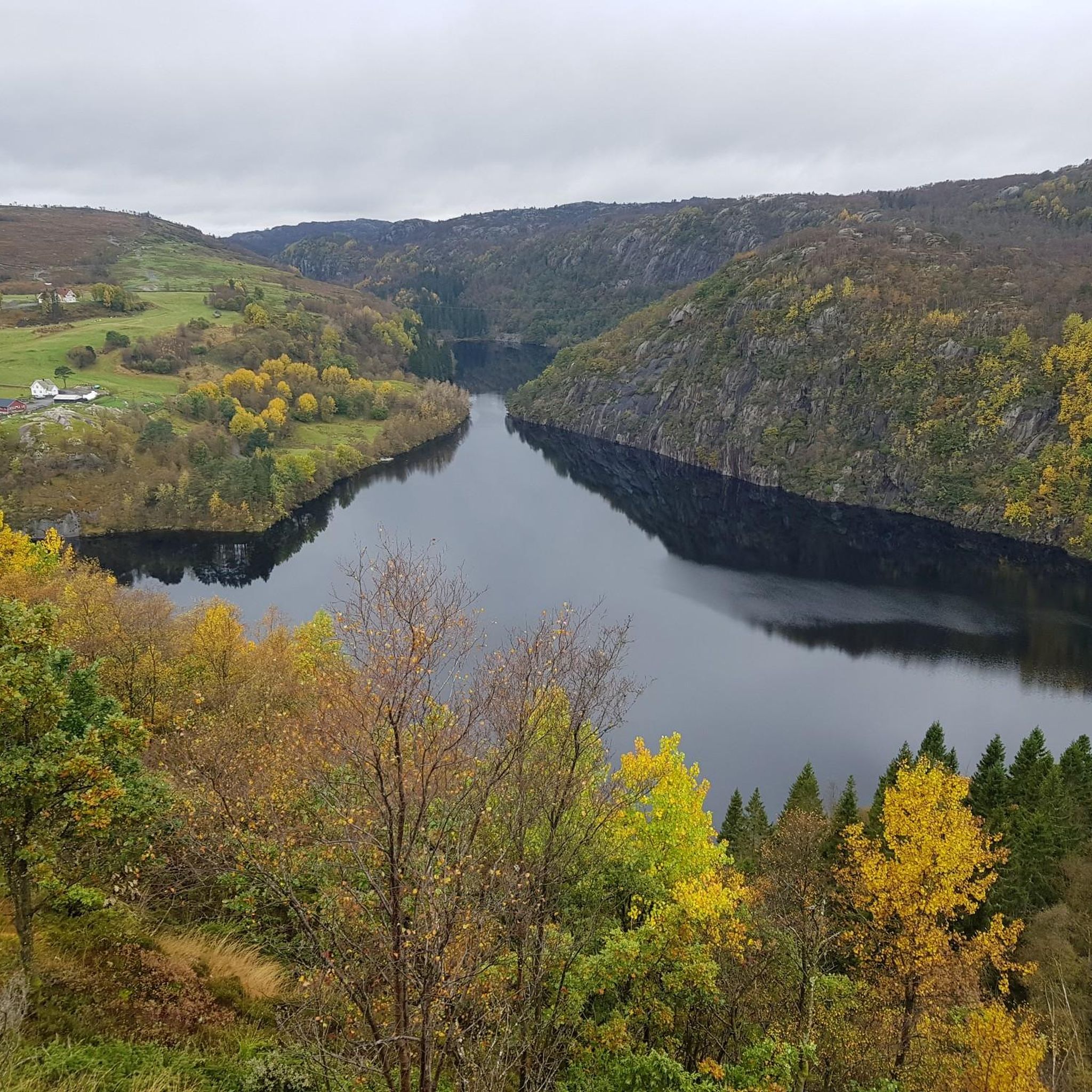
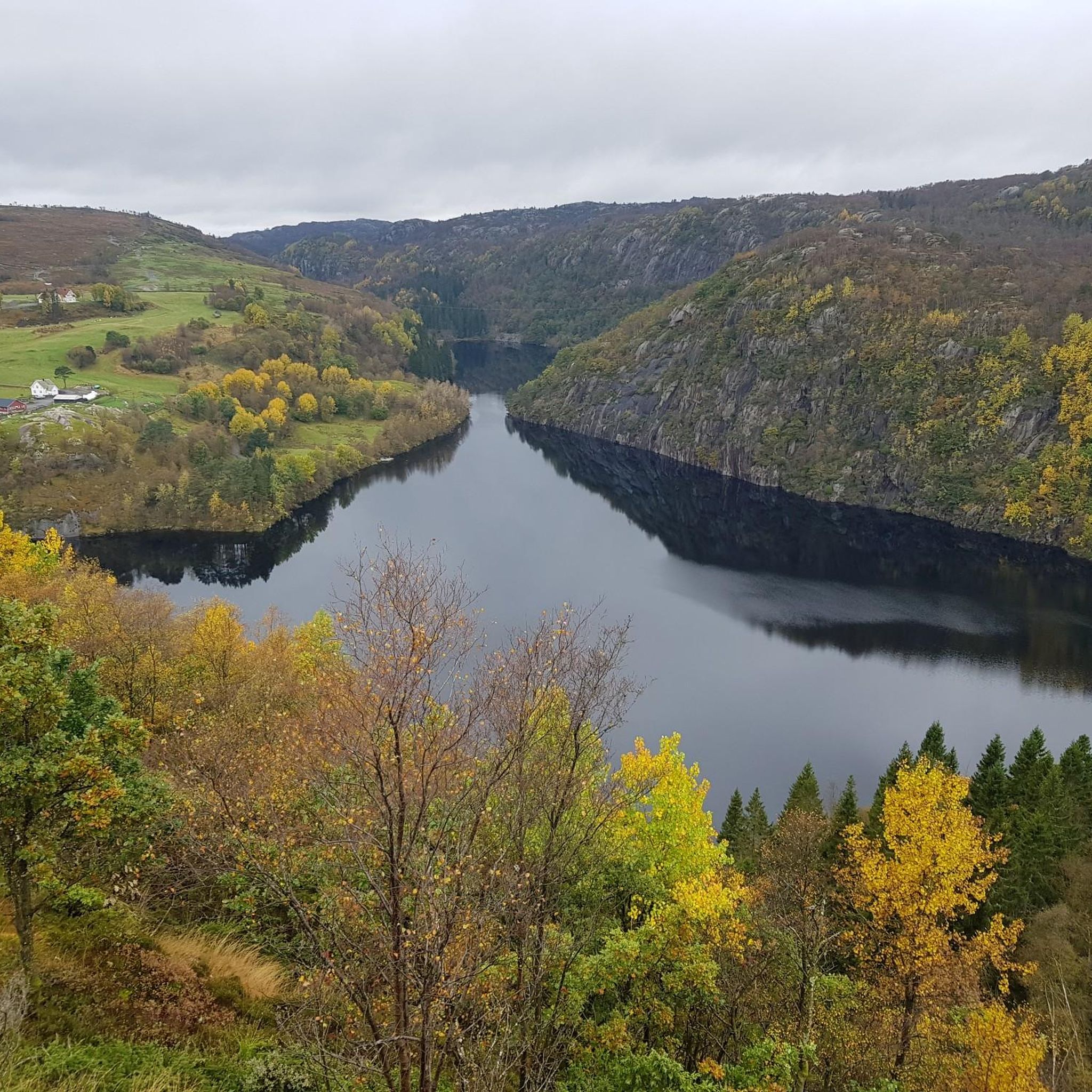
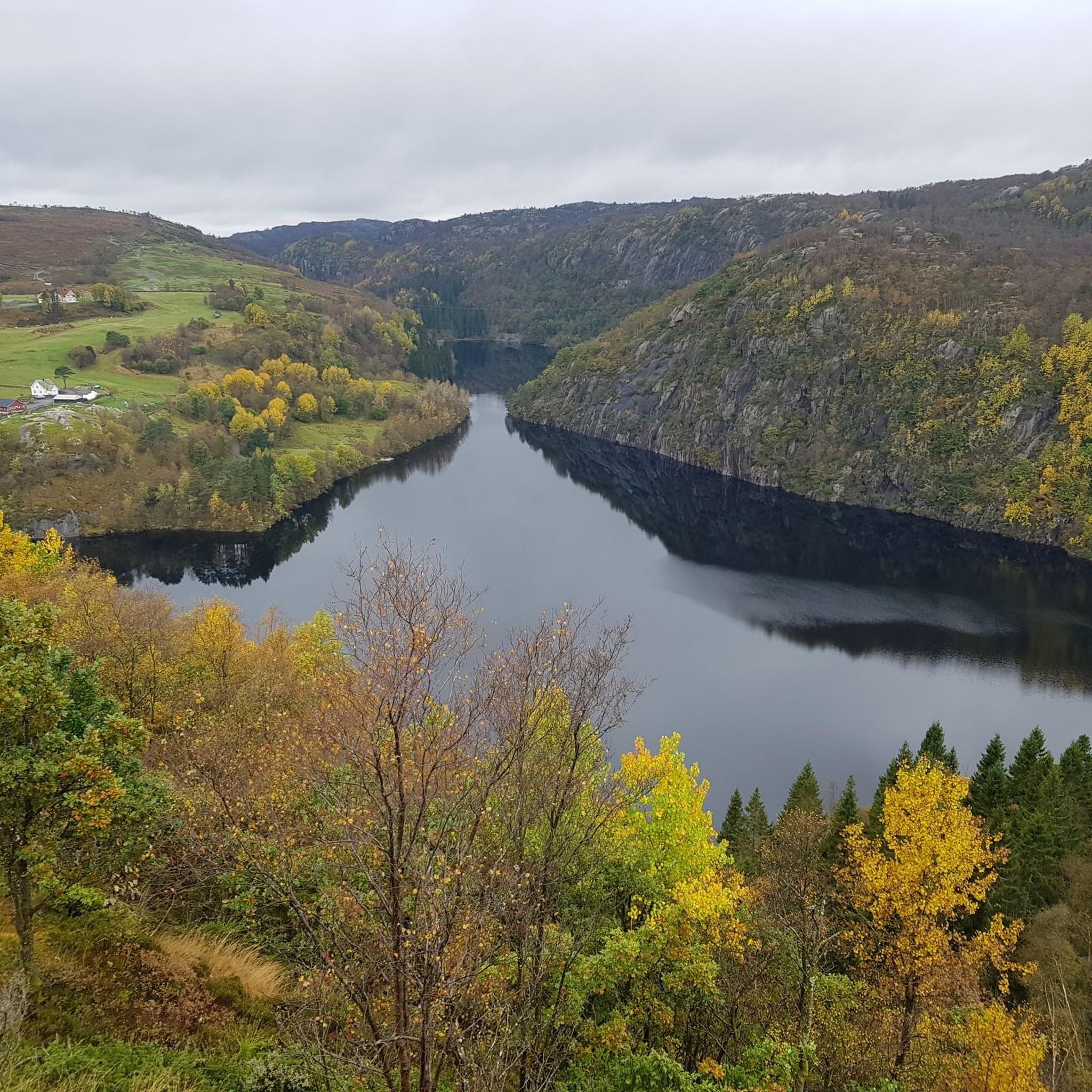
A scenic coastal hill reaching "only" 187 meters above sea level but the open summit offers panoramic views across the surrounding fjord landscapes, rolling heathland, and the coastal terrain of southern Norway.
0
0

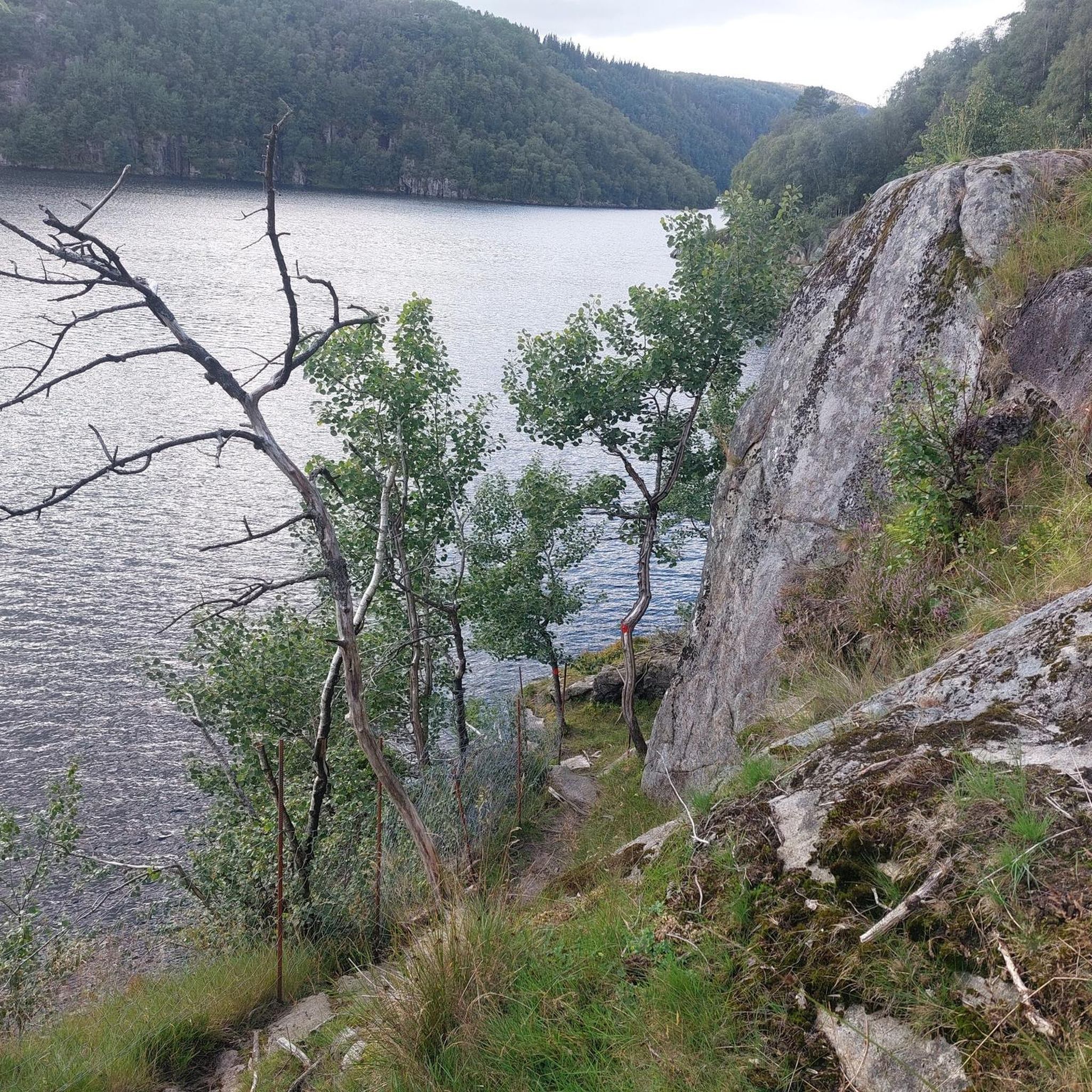
The trail is little frequented, its track is often overgrown with vegetation and difficult to follow Beautiful steep rocky climb the first kilometer
0
0

A beautiful view from up there
0
0

Parking at Skineldvatn, free. Same parking as for the trip to Skykula - recommended as a detour from the tour. Follow Kongestien. Impeccable labeling throughout.
0
0

At the summit there is a fantastic panorama over the sea and the surrounding rocks
0
0

There is a fantastic view of the fjord from here, but the ascent should not be underestimated. You can park in the serpentine curve, then it's "only" 500m. However, from now on it's a steep climb, including small climbs. The view is and the rocky backdrop is definitely worth it!
0
0

The wonderful view of the coastal landscape alone is a reward for the ascent here.
0
0

Beautiful summit plateau above Helleren with a wonderful view of the Jössingfjord.
0
0
Frequently Asked Questions
What are the most notable peaks and viewpoints around Lund?
The region around Lund offers several impressive elevated points. Among them, the View from Brufjell provides fantastic sea views, often with a summit book to sign. Another significant spot is Træla Mountain, which is accessible with parking at Skineldvatn. For dramatic fjord views, the View of Jøssingfjord from Hellarsheia Plateau is highly recommended, though it involves a steep climb.
Are there any challenging hikes or climbs for experienced adventurers?
Yes, for those seeking a challenge, the hike to Brufjell and Brufjellhålene Caves is very demanding. It requires sturdy shoes and comfort with heights and steep slopes, sometimes involving holding onto iron hooks or ropes. The effort is rewarded with spectacular views and unique cave formations. The ascent to the Hellarsheia Plateau also involves a steep climb with small scrambling sections.
What kind of natural features can I expect to see on these peaks?
You can expect diverse natural features. Many peaks offer expansive views of the sea and coastline, characterized by rounded rocks. Areas like Brufjell feature unique cave formations. The trails often lead through varied terrain, from bare rocks to green high pastures, and some areas might have abandoned homesteads, adding a touch of history to the natural landscape.
Are there any unique features or traditions associated with these peaks?
Yes, at the Eigeli Summit Logbook, you'll find two closely located hiking logbooks where visitors can immortalize their visit. This adds a unique, interactive tradition to the summit experience. Some trails also pass by abandoned homesteads, offering a glimpse into past cultivation in these elevated areas.
What are the best options for cycling near these mountain peaks?
The region offers various cycling routes. For road cycling, you can explore routes like the 'View of Ana Sira – Old Jøssingfjord Tunnel loop' from Flekkefjord kirke or Moi, which are considered difficult. For touring bicycles, routes such as 'Sogndalstrand – Sogndalstrand Historic Village loop' from Eikebakka naturreservat provide a challenging experience. You can find more details on these and other routes in the Road Cycling Routes around Lund and Cycling around Lund guides.
Are there running trails available near the peaks?
Yes, there are several running trails in the vicinity. Moderate options include the 'Søylandstjødn loop' from Flekkefjord kirke, the 'Kryptevig – Sogndalsstranda Harbor loop' from Hauge, or the 'Running loop' from Hidra kirke. These trails offer a great way to experience the landscape while jogging. Explore more running options in the Running Trails around Lund guide.
What should I know about accessibility and trail conditions?
Trail conditions vary significantly. Some paths, like the one to Eigeli Summit Logbook, can be little frequented, overgrown, and difficult to follow. More challenging routes, such as to Brufjell, involve steep slopes, bare rocks, and require sturdy shoes. Some trails are well-signposted, but it's always advisable to be prepared for varied terrain and potential climbs.
Are there any tips for navigating the trails?
Many trails are well-signposted, sometimes even with alternatives clearly marked. For instance, the path to Træla Mountain follows Kongestien with impeccable labeling. However, for less frequented or more challenging routes, it's wise to be prepared for overgrown sections and to follow any specific instructions, such as closing gates after passing through.
What do visitors enjoy most about these mountain peaks?
Visitors consistently highlight the spectacular and fantastic views as the main draw. The panoramic vistas of the sea, fjords, and surrounding landscapes are frequently praised. The sense of accomplishment after a challenging hike and the unique experience of signing a summit logbook also contribute to a memorable visit.
Where can I find parking for these mountain trails?
Parking is available at various points depending on the trail. For example, for the hike to Træla Mountain, free parking is available at Skineldvatn. For the View of Jøssingfjord from Hellarsheia Plateau, you can park in the serpentine curve, which shortens the initial ascent.
Most popular routes around Lund
Most popular attractions around Lund

Get inspired with the komoot mobile app


Explore more
See even more amazing summits around Lund with these guides:
