Top 15 Lakes around Wervik
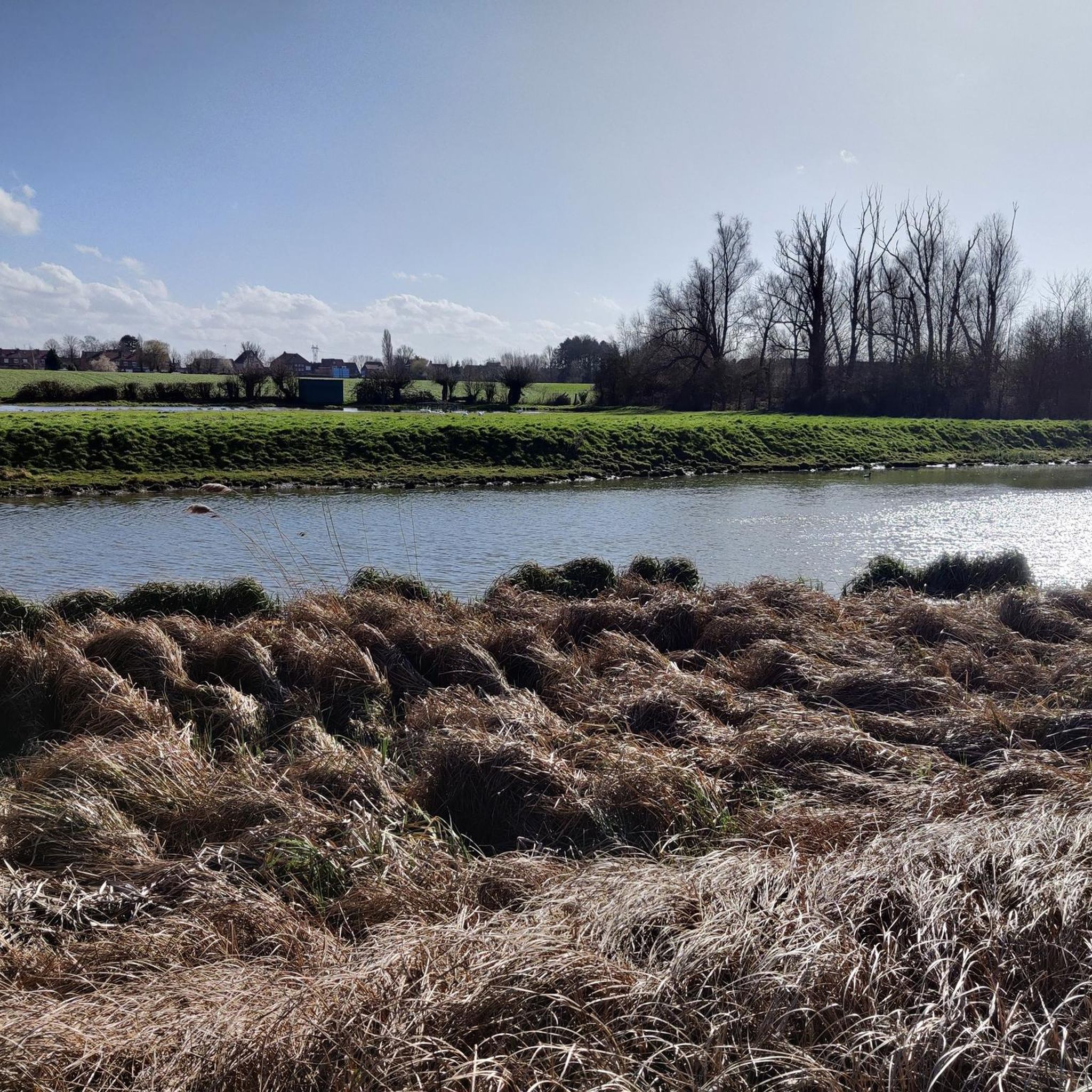
Best lakes around Wervik are primarily defined by the scenic Leie River and its associated natural areas, rather than traditional large lakes. The region features significant recreational spaces like De Balokken island, formed by the river's course, offering diverse landscapes. These recreational water areas Wervik Belgium include walking paths, swamp zones, and riverine environments. Wervik's aquatic appeal centers on these dynamic water features and their surrounding natural habitats.
Best lakes around Wervik
- The most popular lakes is Zillebeke Pond, a lake that was created in the 13th century to supply water to Ypres. This 28-hectare pond continues to provide drinking water and serves as a natural landscape for recreation.
- Another must-see spot is Bergelen Provincial Domain, an artificial sand extraction pit developed into a nature reserve. Visitors can find walking paths, a playground, and a café-restaurant within this 47-hectare estate.
- Visitors also love Peace Forest, Ypres, a forest and nature reserve that includes a lake. This 40-hectare area is home to many birds, which can be viewed from a bird hide, and holds historical significance.
- Wervik is known for ponds, riverine areas, and wet grasslands. The region offers a variety of water-influenced landscapes to explore, from historical ponds to biodiverse marshlands.
- The lakes around Wervik are appreciated by the komoot community, with more than 450 upvotes and over 100 photos shared.
Last updated: August 10, 2026
Zillebeke Pond
Highlight • Lake
Translated by Google •
Tip by

Bergelen Provincial Domain
Highlight • Natural
In 1996, the farm and the 29 hectares of surrounding agricultural land were purchased by the province, and large parts of the newly acquired area were afforested.
In 1999, the province entered into a lease with the municipality for the management of the Bergelen pit and its surroundings. This created the Bergelen Provincial Estate, which currently covers an area of 47 hectares. The Heulebeek stream flows along and through the estate, still following a largely natural course there.
You'll also find the Bulskamphoeve, first mentioned in Gullegem in 1549. It's a historic farmstead whose horseshoe-shaped buildings are situated within the ramparts. The farmstead was destroyed several times during wartime and subsequently rebuilt or renovated. The current building is believed to date from 1775.
A protected monument, the Meiboom, also stands in the area. This is a group of six lime trees with a large iron cross in the center.
Source: wevelgem.be
Translated by Google •
Tip by

Sign up now to discover places like this
Get recommendations on the best single tracks, peaks, & plenty of other exciting outdoor places.
Sign up for free
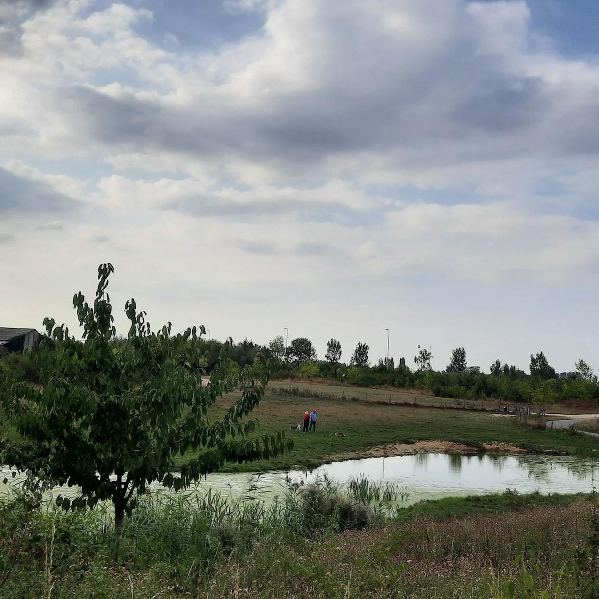
Path along pond in Palingbeek estate
Highlight • Trail
Translated by Google •
Tip by

Peace Forest, Ypres
Highlight • Forest
In the 13th and 14th centuries, St. Michael's parish was located here. It was designed in the early 1990s as a reservoir for drinking water and as a holding basin against flooding. The finds from the excavations of St. Michael's parish used to be on display in glass cabinets in the Mergelynck Museum, but are now also in the Yper Museum.
Translated by Google •
Tip by

Bissegem Plage
Highlight • Natural
In a large part of the site, children can romp and play freely. This is also possible in the smallest buffer basin. (info City of Kortrijk)
Translated by Google •
Tip by

Sign up for free to discover even more lakes around Wervik.
Sign up for free
Already have an account?
Start today with a free account
Your next adventure awaits.
Login or Signup

Tips from the Community

Two corrections: Contrary to what the original name of this highlight stated, you are not in the Begelen domain (which is located in Gullegem, about 25 km from here), but in the Palingbeek domain. And, contrary to what another user here stated, this was not previously a mining area (in the sense of a mining area), but an area scarred by mines and bombs during the First World War.
1
0
The Bergelen Provincial Estate in Wevelgem developed around a 10-hectare artificial sand extraction pit. The sand was used for the construction of the E403 (A17) motorway in the early 1970s. The municipality purchased this pit and surrounding land between 1989 and 1995. Various planting activities and numerous management works (reprofiling the banks, creating a water berm, building observation huts and walls, creating walking paths, constructing a bat shelter, digging ponds, etc.) were carried out by the municipal council. This created a small but very interesting nature reserve. In 1996, the farm and the 29 hectares of surrounding agricultural land were purchased by the province, and large parts of the newly acquired area were afforested. In 1999, the province entered into a lease with the municipality for the management of the Bergelen pit and its surroundings. This created the Bergelen Provincial Estate, which currently covers an area of 47 hectares. The Heulebeek stream flows along and through the estate, still following a largely natural course there. You'll also find the Bulskamphoeve, first mentioned in Gullegem in 1549. It's a historic farmstead whose horseshoe-shaped buildings are situated within the ramparts. The farmstead was destroyed several times during wartime and subsequently rebuilt or renovated. The current building is believed to date from 1775. A protected monument, the Meiboom, also stands in the area. This is a group of six lime trees with a large iron cross in the center. Source: wevelgem.be
4
0

Beautiful nature, lots of explanation about the region along various information boards.
1
0

An interesting anecdote concerns the battles around the pond during the war. Soldiers used the pond as a natural barrier and shelter. There are stories of soldiers wading through the water at night to reach enemy lines, which gave the pond strategic significance.
7
0

large spaces to run with your dog (on a leash)
1
0

With the realisation of Bissegem Plage, Bissegem will gain an attractive and peaceful location. It will be a beautiful piece of nature of almost 10,000m² (1ha) that will be permanently free from construction. In this way, we will preserve the unique green character along the Leie. This will undoubtedly become one of the most beautiful parts of Bissegem. In this zone, we will set up a water buffer basin. We will collect all the rainwater from the Driekerkenstraat here. It concerns two buffer basins, one of which overflows into the other. They are a maximum of half a metre deep. The largest of the two will never be dry. A jetty (wooden terrace) will partly bridge this basin. Here, everyone can enjoy the peaceful atmosphere and the passage of large boats. We provide a connection with the cemetery. In a large part of the site, children can romp and play freely. This is also possible in the smallest buffer basin. (info City of Kortrijk)
2
0

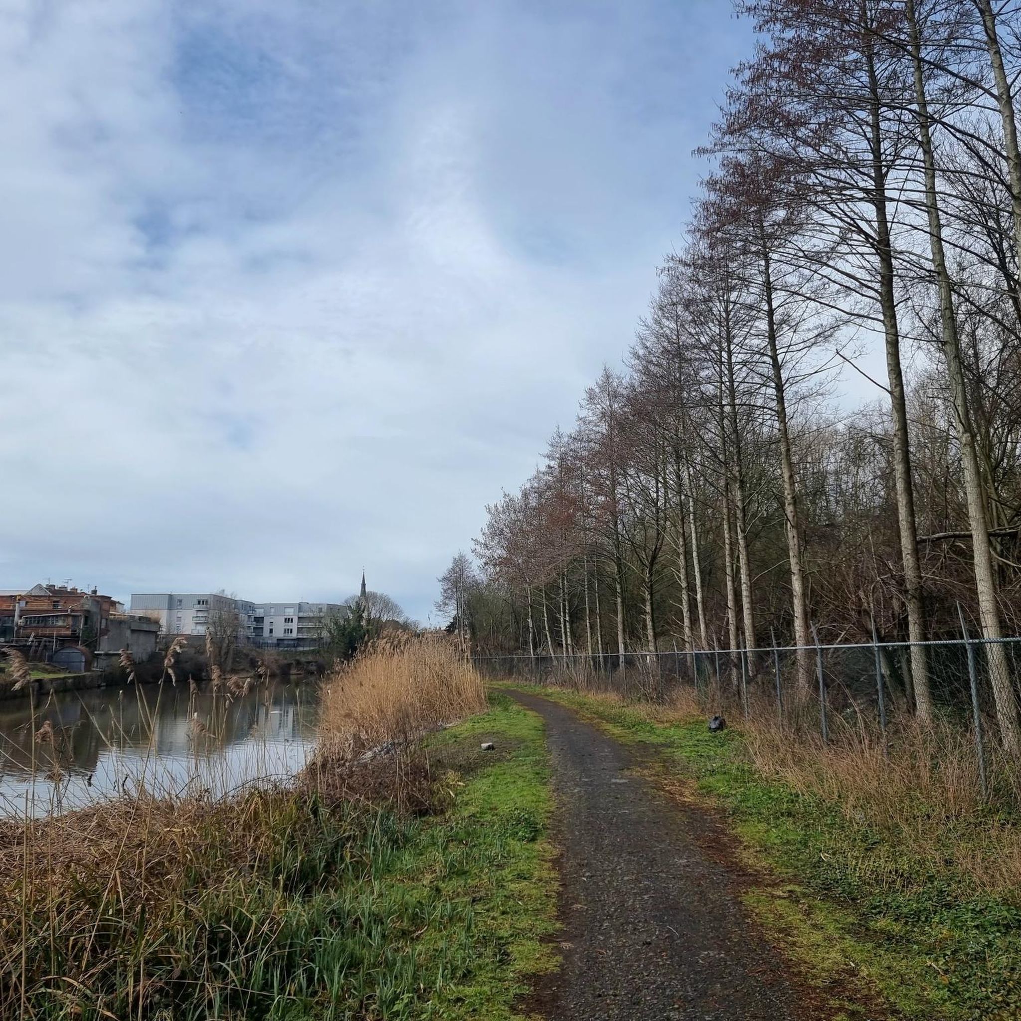
The domain, once a mining site, is now an oasis of greenery with well-maintained footpaths that wind through forests, meadows and past tranquil ponds. The area is known for its rich biodiversity. During your walk you will be treated to the sound of birds and the view of the water, especially in spring and summer.
1
1

The nature reserve is just over 40 hectares and is home to many birds, which can be viewed from the bird hide. The area is managed by nature and forest. In the 13th and 14th centuries, St. Michael's parish was located here. It was designed in the early 1990s as a reservoir for drinking water and as a holding basin against flooding. The finds from the excavations of St. Michael's parish used to be on display in glass cabinets in the Mergelynck Museum, but are now also in the Yper Museum.
2
0
Frequently Asked Questions
What are the main water-related attractions around Wervik?
Wervik's aquatic appeal centers around the scenic Leie River and its associated natural and recreational areas. Key attractions include Zillebeke Pond, a historical water source for Ypres, and the Peace Forest, Ypres, which features a lake within a nature reserve. Additionally, the Recreational Island De Balokken and the Leiemeersen offer diverse landscapes and activities directly influenced by the Leie River.
Are there family-friendly areas to visit near Wervik's water features?
Yes, several areas are great for families. Zillebeke Pond and Peace Forest, Ypres are both listed as family-friendly. The Recreational Island De Balokken is also ideal, offering varied landscape parks, walking paths, and amenities like a cafeteria, making it suitable for all ages.
What kind of natural features can I expect to see around Wervik's water areas?
You'll find a mix of riverine environments, ponds, and wet grasslands. The Recreational Island De Balokken features a varied landscape park with extensive walking paths and a distinctive wooden bridge path traversing a swamp area. The Leiemeersen are known for their rich biodiversity, including old pollard willows, ditches, and small-scale grasslands, supporting unique flora and fauna.
Are there historical sites related to the lakes or ponds in the Wervik area?
Yes, Zillebeke Pond has significant historical value, having been created in the 13th century to supply water to Ypres. The Peace Forest, Ypres also holds historical significance, as St. Michael's parish was located there in the 13th and 14th centuries, and it now promotes peace after the First World War.
What outdoor activities can I do near the water in Wervik?
The area offers various outdoor activities. You can enjoy walking and cycling around Zillebeke Pond. The Recreational Island De Balokken is perfect for walking, jogging, and water sports like water skiing and jet boating in a designated fast sailing zone on the Leie. For more structured activities, you can explore numerous running trails, road cycling routes, and general cycling routes that pass through the region.
Are there specific walking routes around the water features?
Absolutely. You can find walking paths around Zillebeke Pond. The Recreational Island De Balokken has extensive walking paths, including a unique wooden bridge path through a swamp. The periphery of the Leiemeersen can also be explored via a walking path and the 'Laag-Vlaanderenroute'. Additionally, the Path along pond in Palingbeek estate offers a trail through forests and meadows past tranquil ponds.
What is Recreational Island De Balokken and what does it offer?
Recreational Island De Balokken is a 36-hectare island in Wervik, formed by the straightening of a bend in the Leie River. It offers a varied landscape park with walking paths, a unique swamp area with a wooden bridge, seating areas, a cafeteria, and a small marina. It's an ideal spot for walking, jogging, and enjoying water sports on the adjacent Leie River. Hiker huts and a camper area are also available for overnight stays.
What is the Leiemeersen area known for?
The Leiemeersen are wet grasslands located between Wervik's industrial zone and Menen. This area is a remnant of former low-lying meadowland, characterized by small landscape elements like old pollard willows and ditches. It's known for its rich but vulnerable biodiversity, supporting unique plant species and wildlife. An artistic bird observation hut within the De Balokken area offers views into this wetland.
Can I bring my dog to the water areas around Wervik?
Yes, the Path along pond in Palingbeek estate is specifically noted as dog-friendly, offering large spaces for dogs (on a leash). For other areas, it's generally advisable to keep dogs on a leash and check local regulations, especially in nature reserves.
What is Bissegem Plage?
Bissegem Plage is a newly realized attractive and peaceful natural area of almost 10,000m² along the Leie. It features water buffer basins, one of which is permanently wet, and a jetty for enjoying the peaceful atmosphere and boat traffic. It's designed for relaxation and children's play, preserving a unique green character along the river.
What is the best time to visit the water areas around Wervik?
While specific seasonal recommendations aren't provided for all areas, spring and summer are generally excellent for enjoying the natural beauty and outdoor activities. During these seasons, you can fully appreciate the rich biodiversity, especially around areas like the Leiemeersen and the Palingbeek estate, where birds and flora are vibrant.
Most popular attractions around Wervik

Get inspired with the komoot mobile app


Explore more
Still not found your perfect lake around Wervik? Check out the guides of these regions to see even more beautiful places.
