The 4 Most Amazing Peaks around Sessa Aurunca
Best mountain peaks around Sessa Aurunca are found in Italy's Campania region, nestled on the southwestern slopes of the extinct Roccamonfina volcano. This area features a blend of natural landscapes and historical sites, offering various hiking experiences. The primary mountain feature is the Roccamonfina volcanic complex, which includes Monte Santa Croce and Monte Lattani, alongside the standalone Monte Massiccio. These peaks provide diverse terrain for exploration.
Best mountain peaks around Sessa Aurunca
- The most popular mountain peak is Rocca di…
Last updated: May 19, 2026
Rocca di Monte Dragonis
Highlight • Castle
Translated by Google •
Tip by

Ruins of the Naval Observatory on Monte Cicoli
Highlight • Historical Site
Translated by Google •
Tip by

Sign up now to discover places like this
Get recommendations on the best single tracks, peaks, & plenty of other exciting outdoor places.
Sign up for free
Mount Santa Croce
Highlight • Summit
Translated by Google •
Tip by

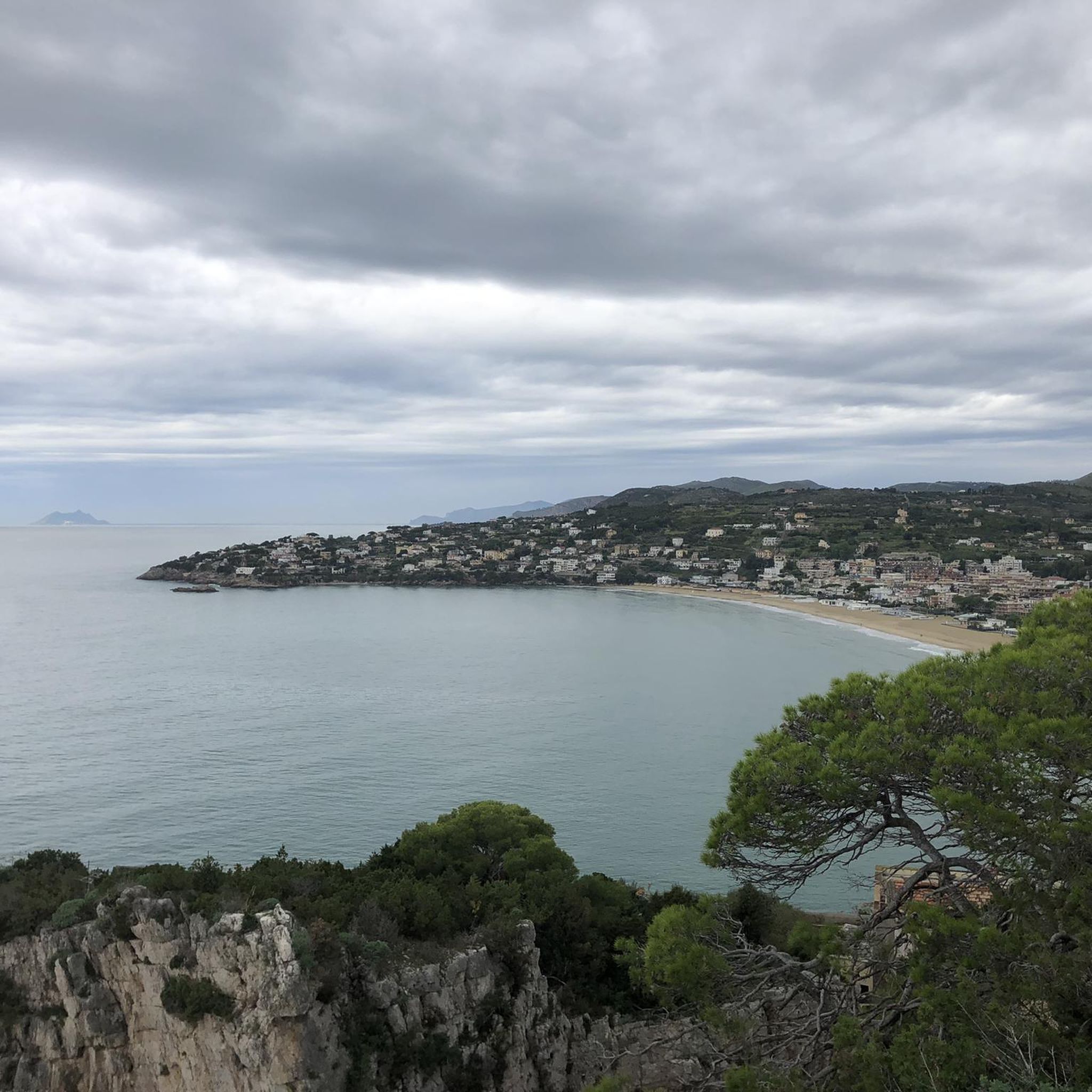
Great view of Scauri, Formia, Gaeta and the mountains
Highlight • Viewpoint
After a not extreme climb you can admire the splendid panorama.
Translated by Google •
Tip by

Rocca Montis Dragonis on Monte Petrino
Highlight • Castle
Translated by Google •
Tip by
Start today with a free account
Your next adventure awaits.
Login or Signup
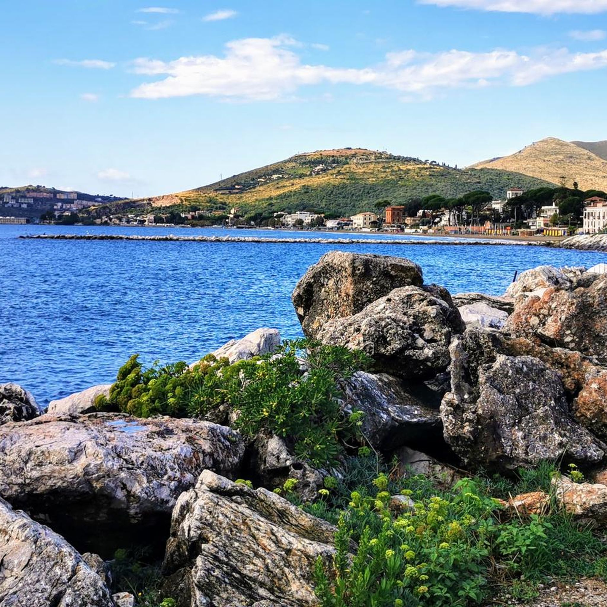
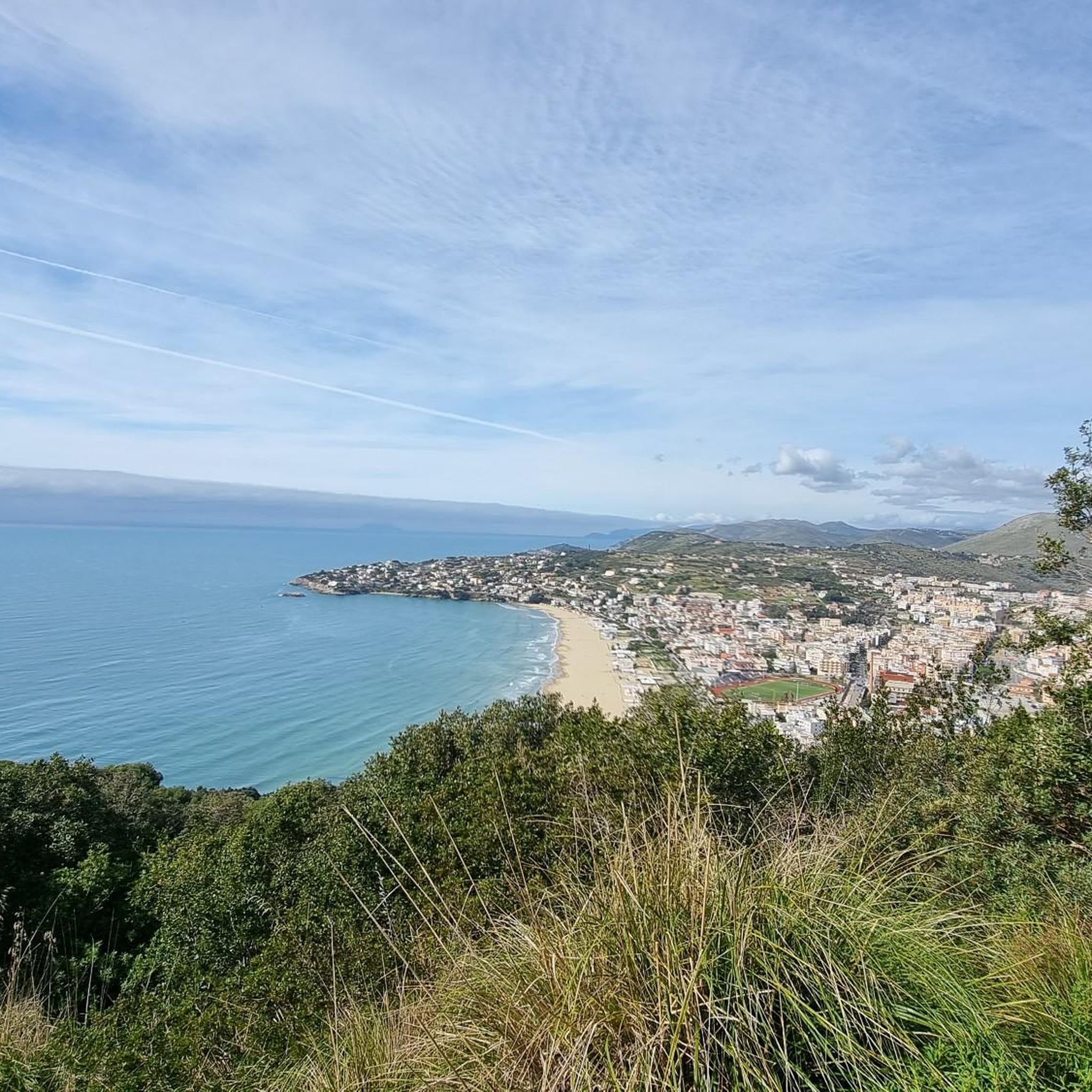
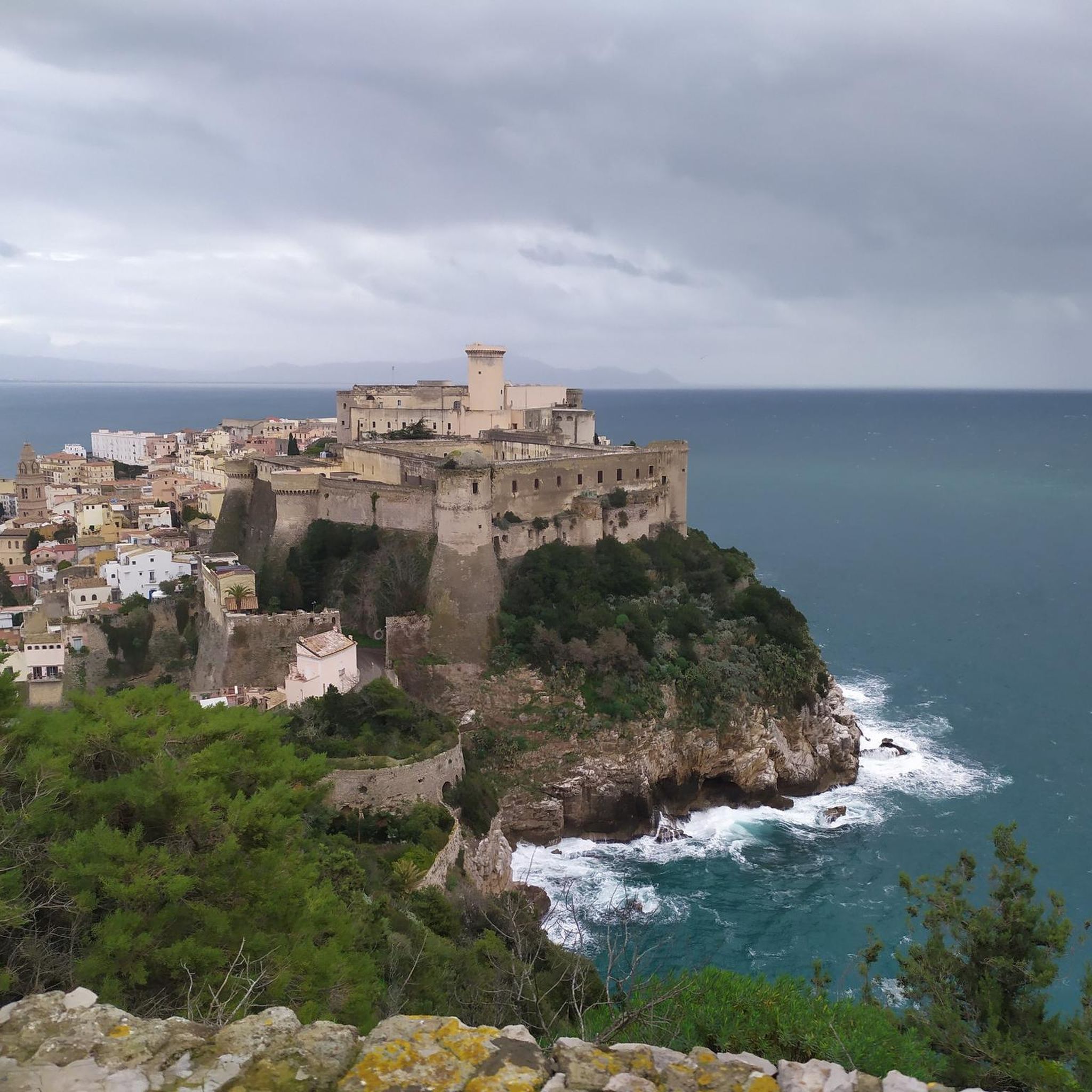
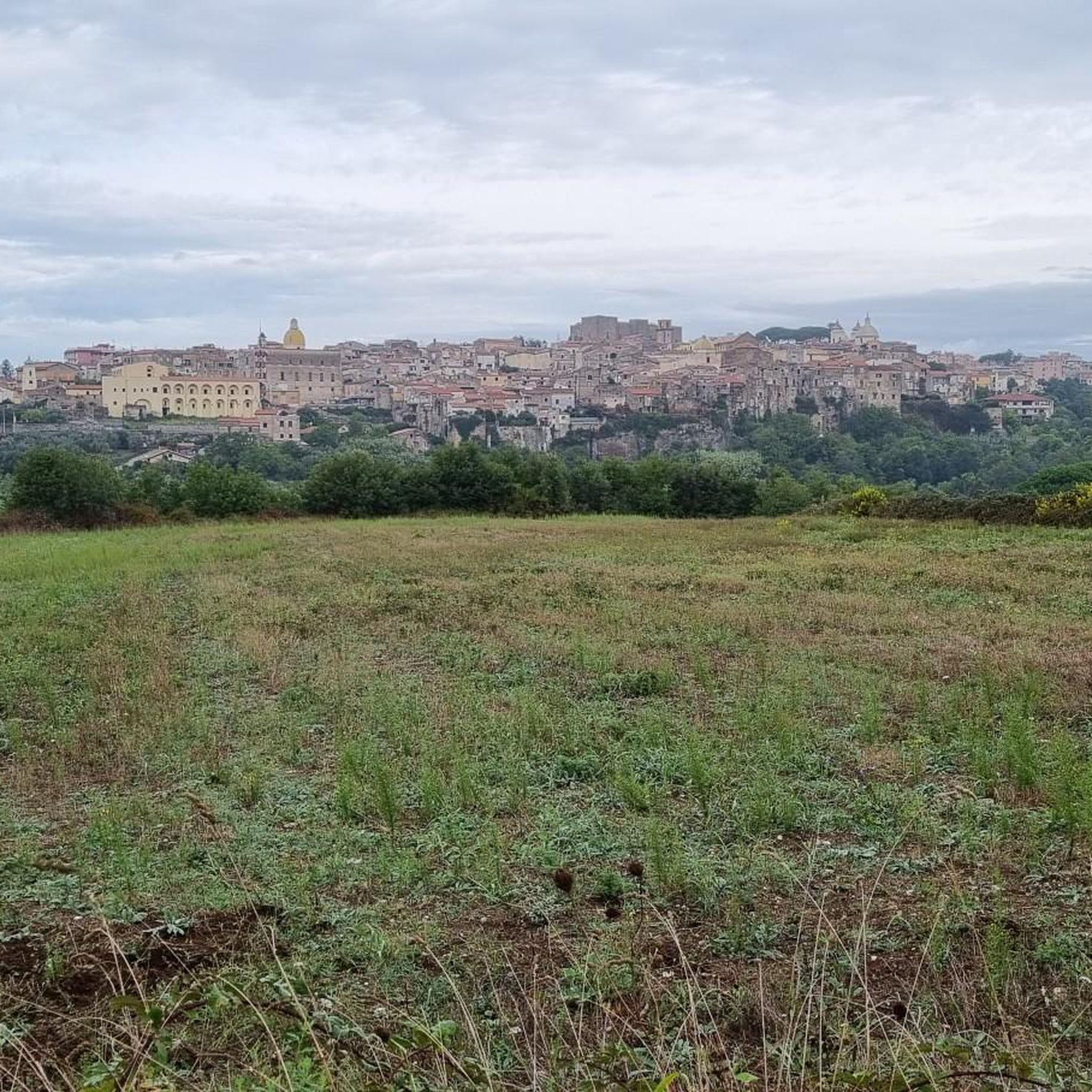
Tips from the Community

Truly “hellish” climb and very dirty road (be very careful if on a road bike)
0
0

The climb to the Castle is quite steep but not very long, the last stretch is not easy to ride on a mountain bike. But the effort and the fatigue are rewarded by an exceptional view. To do ……
0
0

Monte Santa Croce is the highest point of the Roccamonfina volcano, inside the Roccamonfina-Foce Garigliano Regional Park and at an altitude of 1005 m. The volcano is surrounded by chestnut woods, and to reach the top you will travel along a narrow and suggestive road.
1
0

This medieval fortress is located at the top of Monte Petrino, at 412 metres. One of the hypotheses is that the fortress was created by the Longobards, then it was in possession of the Normans, Swabians, Angevins, and finally by the Aragonese.
2
0
Monte Petrino is a relief that is 412 meters high. At the top is the medieval fortress "Rocca Montis Dragonis". From here the view of the sea and of Mondragone is beautiful.
1
0

On the top of Mount Cicoli there are the remains of an old Navy observatory. From that point you can see the entire Gulf of Gaeta and the Garigliano plain Monte Cicoli (275 m a.s.l.) is located in Casino di Transo between the municipalities of Mondragone and Sessa Aurunca. On the coast it closes the mountain range that goes from Monte Massico (813 m a.s.l.) to Monte Petrino (431 m a.s.l.)
1
0

really suggestive panoramic point
0
0

Panoramic point not far from Minturno, immersed in the hills of the area. After a not extreme climb you can admire the splendid panorama.
1
0
Frequently Asked Questions
What are some notable mountain peaks to explore around Sessa Aurunca?
The Sessa Aurunca area offers diverse peaks, including the extinct Roccamonfina volcanic complex with its prominent Monte Santa Croce (1,005m) and Monte Lattani (810m). Additionally, you can explore the standalone Monte Massiccio (800m) for challenging hikes, or visit Rocca di Monte Dragonis on Monte Petrino (412m) for historical interest.
Are there historical sites or ruins on the mountain peaks near Sessa Aurunca?
Yes, several peaks feature historical elements. Monte Santa Croce hosts the ruins of a medieval Benedictine abbey built on an ancient Roman fortification. On Monte Lattani, you'll find the historic Sanctuary of Maria Santissima dei Lattani. The summit of Monte Petrino is home to the medieval fortress Rocca di Monte Dragonis, and Monte Cicoli features the remains of an old Navy observatory.
What natural features can I expect to see in the Sessa Aurunca mountain region?
The region, particularly the Roccamonfina volcanic complex, is characterized by lush landscapes, dense chestnut forests, and rich biodiversity. The volcanic soil supports over 850 species of vascular plants, including 40 species of wild orchids. You might also encounter diverse fauna like the Apennine bellied newt. Unique geological features include thermal springs and the ancient 'Ciampate del Diavolo' (Devil's Footprints) preserved in volcanic ash.
What is the terrain like for hiking in the Roccamonfina volcanic complex?
The Roccamonfina volcanic complex offers trails winding through chestnut forests and volcanic terrains. Ascents like that to Monte Santa Croce are generally considered moderate to difficult, with some sections being narrow and suggestive. The area is part of the Roccamonfina and Foce Garigliano Volcanic Area Regional Park, ensuring a natural and protected environment.
Where can I find the best panoramic views around Sessa Aurunca?
For breathtaking panoramic views, consider hiking to the summit of Monte Santa Croce, which offers vistas over the Volturno valley. Monte Massiccio provides extensive views across the Campania-Felix plain, stretching from Ischia to Vesuvius. Additionally, the Great view of Scauri, Formia, Gaeta and the mountains viewpoint offers a splendid panorama of the bay and surrounding mountains.
Are there challenging hikes in the Sessa Aurunca area?
Yes, for experienced hikers seeking a rigorous challenge, Monte Massiccio is a prominent option. A notable route, the 'Ascent to Monte Massiccio from Falciano del Massico,' is classified as a hard hike, covering approximately 15.8 km with an elevation gain of 820 meters and taking around 5 hours and 23 minutes to complete. The climb to Monte Santa Croce is also considered challenging.
What outdoor activities are available near the mountain peaks of Sessa Aurunca?
Beyond hiking the peaks, the region offers various outdoor activities. You can find numerous running trails, such as the 'Spiaggia di Scauri loop' or 'Roccamonfina Town Center loop,' detailed in the Running Trails around Sessa Aurunca guide. Cycling enthusiasts can explore routes like 'Sessa Aurunca to the Mondragone' or the 'Vespasian Aqueduct – Sun Cycle Path loop' from the Cycling around Sessa Aurunca guide. For mountain biking, options include the 'Ancient Roman Aqueduct – Mouth of the Garigliano River loop' found in the MTB Trails around Sessa Aurunca guide.
When is the best time to hike the mountain peaks around Sessa Aurunca?
Given the lush landscapes and chestnut forests, spring and autumn are generally ideal for hiking in the Sessa Aurunca area. These seasons offer pleasant temperatures and vibrant natural scenery. Summers can be warm, while winters might bring cooler conditions, especially at higher elevations.
What do komoot users enjoy most about the mountain peaks in Sessa Aurunca?
Komoot users appreciate the rewarding views after challenging climbs, such as the 'exceptional view' from Rocca di Monte Dragonis. They also highlight the 'splendid panorama' from viewpoints like the Great view of Scauri, Formia, Gaeta and the mountains, and the 'suggestive road' leading to the top of Monte Santa Croce through chestnut woods.
Are there family-friendly mountain walks around Sessa Aurunca?
While some peaks offer challenging ascents, the Roccamonfina and Foce Garigliano Volcanic Area Regional Park provides an extensive network of trails. Many of these wind through chestnut forests, offering opportunities for less strenuous walks suitable for families, allowing immersion in nature and exploration of diverse ecosystems without necessarily aiming for the highest summits.
What unique geological features can be found in the Roccamonfina area?
The Roccamonfina area, being an ancient volcanic complex, features unique geological formations. Besides the volcanic soil that contributes to rich biodiversity, visitors can find thermal springs in the surrounding area. A particularly fascinating attraction is the 'Ciampate del Diavolo' (Devil's Footprints), a series of hominid footprints preserved in solidified ash from a 345,000-year-old eruption, offering a rare glimpse into prehistoric life.
Can I find accommodation or places to eat near the mountain trails?
While specific accommodation directly on mountain trails is limited, the charming medieval villages within the Roccamonfina and Foce Garigliano Volcanic Area Regional Park, as well as the town of Sessa Aurunca itself, offer various options for cafes, pubs, and accommodation. These serve as excellent bases for exploring the surrounding mountain peaks and trails.
Most popular attractions around Sessa Aurunca

Get inspired with the komoot mobile app


Explore more
See even more amazing summits around Sessa Aurunca with these guides:
