Top 20 Gorges around Selva Di Progno
Best canyons around Selva di Progno are situated in the Province of Verona, Italy, a region characterized by mountainous terrain and valleys. This area, part of the "Piccole Dolomiti," offers a landscape with natural gorges and canyon-like formations. The natural environment provides opportunities for outdoor activities and exploration of geological features.
Best canyons around Selva di Progno
- The most popular canyons is Canale Valley (Pasubio), a gorge that serves as the largest drainage basin descending from the southern slope…
Last updated: June 30, 2026
Arroccamento Trail of Sengio Alto (SAT/CAI 149)
Highlight (Segment) • Trail
Possible …
Translated by Google •
Tip by

Val Fontana d'Oro
Highlight (Segment) • Gorge
Translated by Google •
Tip by

Sign up now to discover places like this
Get recommendations on the best single tracks, peaks, & plenty of other exciting outdoor places.
Sign up for free
Val del Boia
Highlight (Segment) • Gorge
Translated by Google •
Tip by

Canale Valley (Pasubio)
Highlight (Segment) • Gorge
Translated by Google •
Tip by

Buso del Bao Bridge
Highlight • Bridge
Translated by Google •
Tip by

Sign up for free to discover even more gorges around Selva Di Progno.
Sign up for free
Already have an account?
Start today with a free account
Your next adventure awaits.
Login or Signup

Tips from the Community

Buso del Bao is a suggestive passage in the woods: a stable wooden bridge (built by the Castelvecchio Alpine Group in 2019) crosses the stream of the same name, in correspondence with a small but fascinating gorge. The path beyond the bridge is also very beautiful, which goes up towards Contrà Urbani di Sopra, characterized by dark basaltic stones of volcanic origin.
2
0
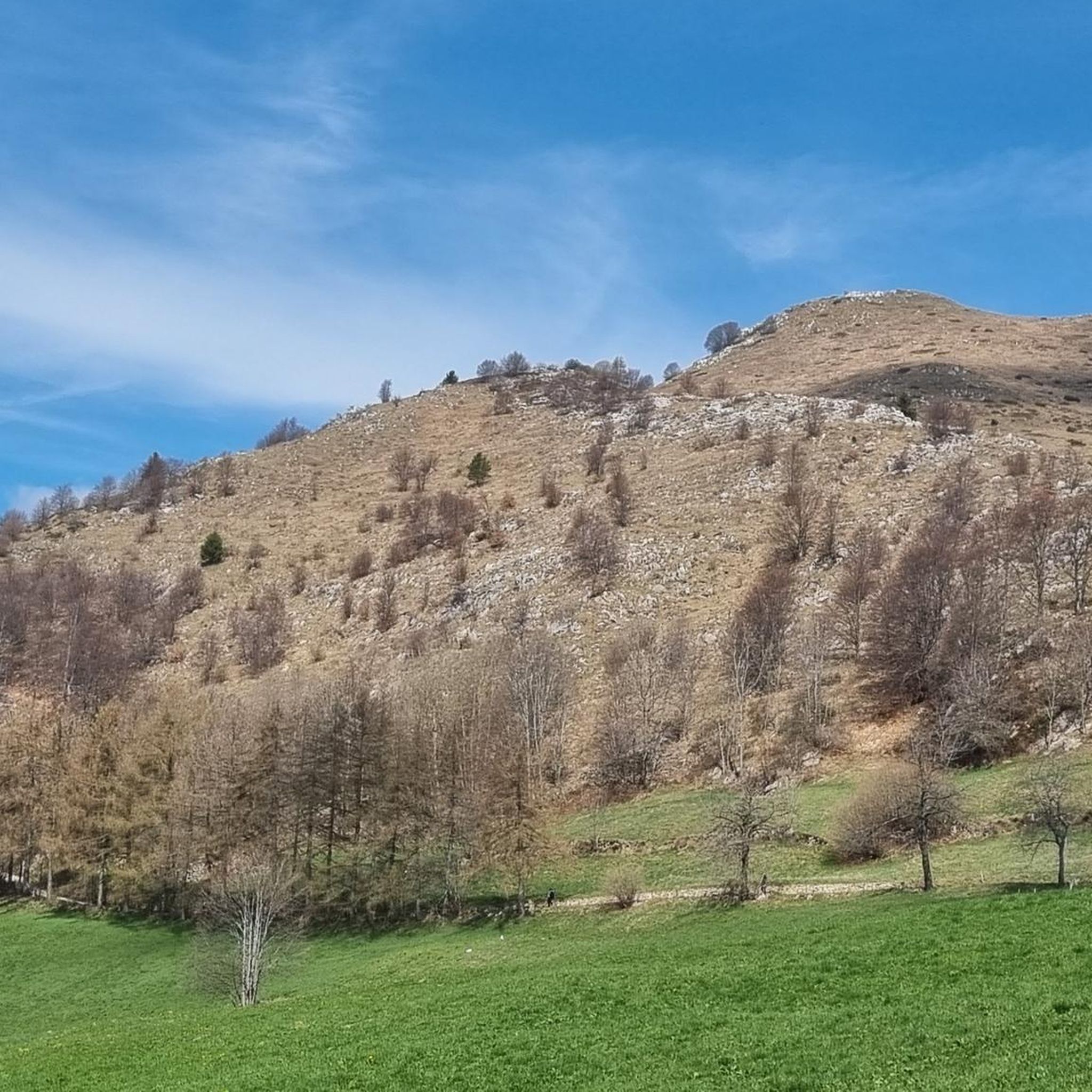
The Val Canale is the largest drainage basin descending from the southern slope of the Pasubio massif, as well as the most direct, short but fairly steep route to the Papa Refuge. After an initial stretch through a beautiful forest, the landscape opens up onto the valley itself, with the trail advancing between high walls and rocky spurs, occasionally crossing scree and scree: a highly evocative climb. During the First World War, before the construction of the Road of the 52 Tunnels in 1917, it was the main Italian route to the Pasubio Gates, the immediate rear of the front: in addition to the mule track, cableways ensured supplies for the army. https://it.wikipedia.org/wiki/Val_Canale_(Pasubio)
1
0

Valle del Boia, a very fresh valley near the town of Campotamaso
0
0

Beautiful route for EE (Expert Hikers) as in just a few km there is a huge difference in altitude. The route is steep at times, almost like a climb, at times sheer, so be careful not to slip otherwise you will arrive directly down. This road connects directly if I'm not mistaken with the 41st tunnel, from there you continue and reach the Papa refuge
1
0
Magnificent Braggion path all along the valley and the river, a path that leads to the Castiglieri cross, one of the most beautiful routes for those who live in the area. Campotamaso, Valdagno.
0
0
The deep, shady Boja Valley is a captivating and pristine environment: wild, humid, lush, captivating, and abundant with water. It flows alongside the rushing stream and encounters spectacular and unexpected waterfalls. It is, of course, at its best after days of heavy rain. It is essentially the outward journey of the Braggion Trail, which runs as a loop from/to Campotamaso. It can be treacherous due to the damp and wet terrain, although the most difficult sections are equipped with steel cables, steps, and small bridges. Many documents refer to it as the "Enchanted Valley" for its fairytale appearance, populated by anguàne and salbanèi. "Val del Boja" takes its name from a legend with horror overtones... A solitary family lived here: father, mother, and son, but the young woman died of illness; The man raised his son, named Mattia, with love, earning a living by working as a woodcutter, woodcarver, and herder. He always kept him with him, fearing something would happen to him; but one day, when the boy was eighteen, he sent him alone to sell the fruits of their labor in the village. Just on the way home, the young man was attacked and killed by bandits. When his father learned of this, he went mad and began killing anyone he encountered along the paths with an axe... a hangman, indeed! Until, one stormy night, he died, crying out the name of his beloved son for the last time.
2
0
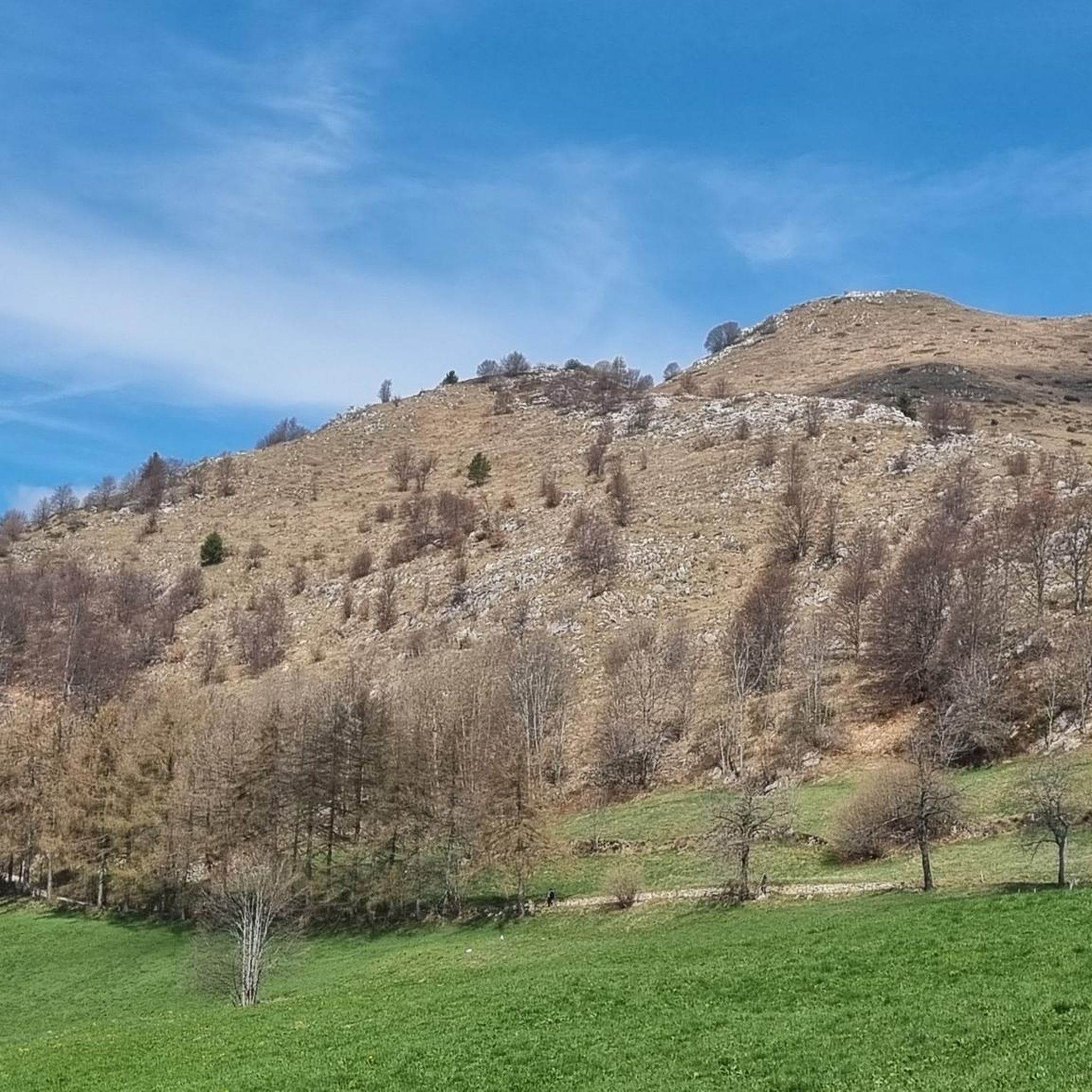
Truly magnificent! An Italian mule track from the Great War that winds along the rugged and spectacular Sengio Alto mountain range, in the heart of the Little Dolomites, among spires and towers, gorges and tunnels, with beautiful views of the valleys. After the Strafexpedition of 1916, the Austrian invasion of the Italian front, the Army Corps of Engineers built a series of routes to connect and supply the various observation and artillery positions at high altitude, complete with tunnels and shelters. The Sengio Alto offered a strategic natural barrier, dominating the enemy's possible invasion routes from the Vallarsa toward the Val Leogra and the Agno Valley. https://it.wikipedia.org/wiki/Catena_del_Sengio_Alto
2
0

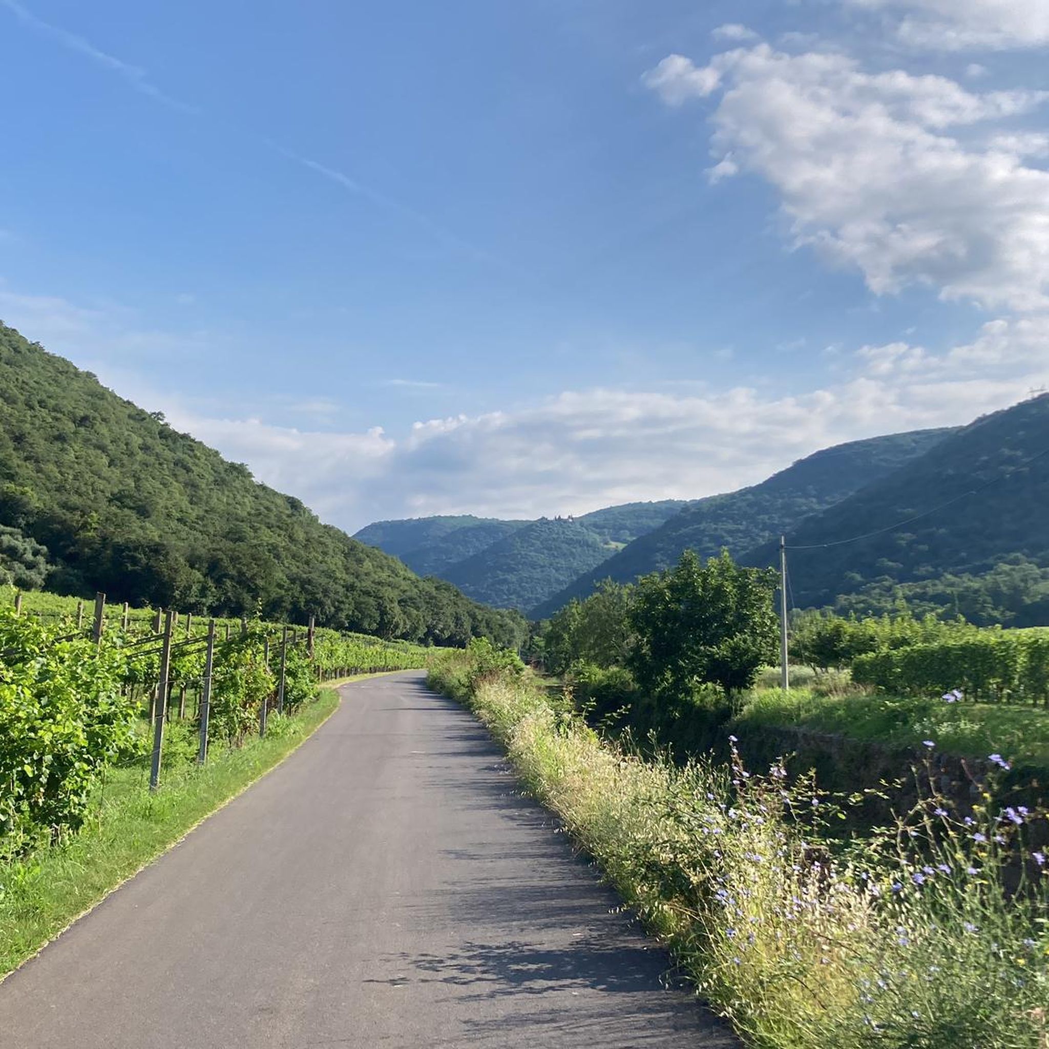
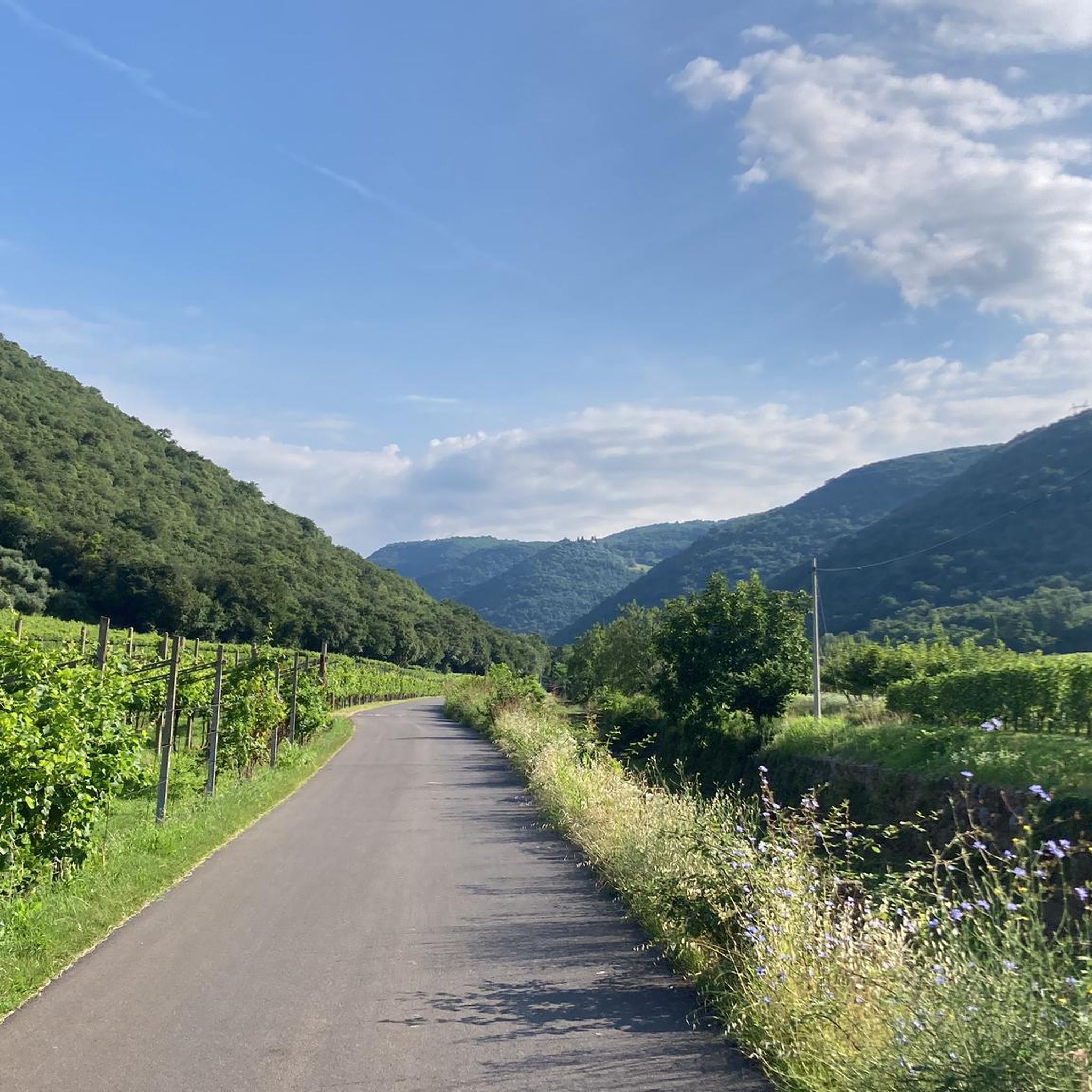
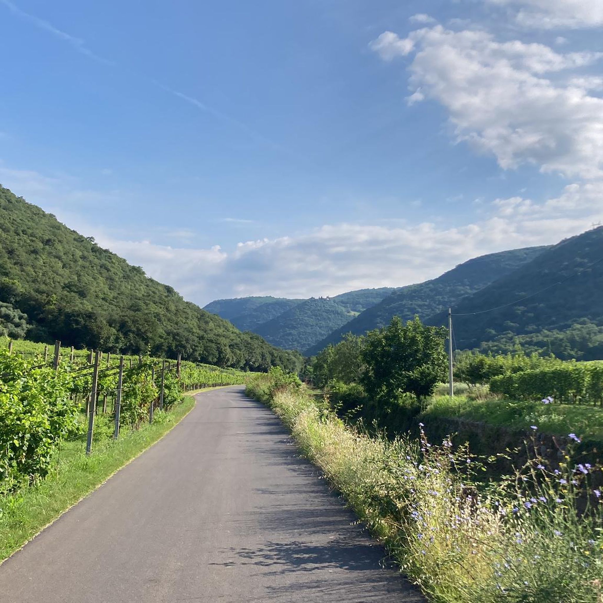
A panorama will leave you breathless, the Val Canal is a set of exceptional scents and views.
3
0
Frequently Asked Questions
What are the most notable gorges and canyon-like trails around Selva di Progno?
The region around Selva di Progno features several impressive gorges and historical trails. Highlights include the Canale Valley (Pasubio), known for its evocative climb between high walls, and the Arroccamento Trail of Sengio Alto (SAT/CAI 149), a panoramic World War I route with tunnels and military remains. Another significant spot is Val Fontana d'Oro, a wild gorge that was an old route to climb Pasubio.
Are there any family-friendly trails or gorges suitable for children near Selva di Progno?
While many trails in the region can be challenging, some sections or specific routes might be suitable for families with older children. For example, the ascent towards the Buso del Bao Bridge is described as manageable for children aged six or seven, though it involves a 200m altitude gain. Always check the specific trail difficulty and conditions before heading out with family.
What kind of natural features can I expect to see in the gorges around Selva di Progno?
You will encounter diverse natural features, including majestic rock faces, thick forests, and impressive waterfalls. The Val del Boia, for instance, is known for its deep, lush environment and spectacular waterfalls, especially after heavy rain. The Buso del Bao Bridge area features a stream carving a small ravine and dark basaltic stones of volcanic origin.
Are there historical sites or points of interest within the gorges?
Yes, many gorges and trails in the region have significant historical importance, particularly from World War I. The Arroccamento Trail of Sengio Alto (SAT/CAI 149) is a prime example, featuring tunnels and remains of military posts. The Canale Valley (Pasubio) was also a crucial Italian route for supplies during the war before the construction of the Road of the 52 Tunnels.
What outdoor activities can I do near the gorges of Selva di Progno?
Beyond exploring the gorges themselves, the area offers various outdoor activities. You can find numerous hiking opportunities, with trails ranging from moderate to difficult, such as the Cima Carega Loop or the Cimbrian Heritage Trail. For cycling enthusiasts, there are road cycling routes like the Soave City Walls loop and gravel biking options, including the Velo Veronese – Malga Lessinia loop. You can find more details on these activities in the Hiking around Selva Di Progno, Road Cycling Routes around Selva Di Progno, and Gravel biking around Selva Di Progno guides.
Is canyoning an activity available directly in Selva di Progno?
While Selva di Progno itself is known for its natural gorges and hiking trails, dedicated canyoning activities are not prominently featured directly within the municipality. However, the broader region, particularly around Lake Garda and the Val di Non, is renowned for canyoning opportunities. Locations like the Novella Canyon and Rio Sass Canyon offer structured experiences with suspended walkways and guided tours. For more information on canyoning in the wider region, you might explore resources like visitvaldinon.it.
What is the best time of year to visit the gorges and trails around Selva di Progno?
The best time to visit the mountainous terrain and gorges around Selva di Progno is typically during the spring, summer, and early autumn months. During these seasons, the weather is generally more favorable for hiking and exploring, with lush vegetation and accessible trails. Winter can bring snow and ice, making some routes challenging or impassable, especially at higher altitudes.
What do visitors enjoy most about the gorges and trails in this area?
Visitors frequently appreciate the stunning panoramic views, the historical significance of many trails, and the wild, untamed natural beauty. The sense of adventure on challenging routes, the evocative climbs through high walls, and the discovery of hidden waterfalls are often highlighted. The blend of natural landscapes with World War I history provides a unique and engaging experience.
Are there any challenging trails for experienced hikers in the gorges?
Yes, the region offers several challenging routes suitable for experienced hikers. The Arroccamento Trail of Sengio Alto (SAT/CAI 149) is described as developing in an alpine environment that should not be underestimated. Similarly, Val Fontana d'Oro is noted as steep, exposed, rocky, and challenging, often classified as EE (Expert Hikers).
Are there any specific geological features to look out for in the canyons?
The area is part of the 'Piccole Dolomiti' (Little Dolomites), characterized by impressive mountainous terrain and valleys. You can observe dramatic rock formations, such as the jagged crests and gullies along the Sengio Alto mountain range. The Buso del Bao Bridge area also features dark basaltic stones, indicating volcanic origins in the landscape.
Can I find places to eat or stay near the gorges and trails?
Selva di Progno and the surrounding valleys offer various options for cafes, pubs, restaurants, and accommodation. While specific establishments near each individual gorge are not detailed, you can typically find amenities in the main villages and towns within the region to support your visit.
Are dogs allowed on the trails and in the gorges?
Rules regarding dogs on trails can vary, especially within protected areas like the Lessinia Natural Park. It's generally advisable to keep dogs on a leash and ensure they are well-behaved. Always check local regulations or park guidelines for specific trails before bringing your dog.
Most popular routes around Selva Di Progno
Most popular attractions around Selva Di Progno

Get inspired with the komoot mobile app


Explore more
Already discovered everything in this region? See additional gorges around Selva Di Progno for your next adventure:
