Top 20 Gorges around Vallarsa
Best canyons around Vallarsa are characterized by a rugged and lush landscape, shaped by abundant rainfall and impressive geological formations. The region features deep gorges, caves, and natural trails, offering diverse exploration opportunities. Erosion by rivers like the Leno has sculpted spectacular canyons, showcasing the powerful geological forces at play in the Vallarsa valleys. This area provides a rich environment for experiencing natural features and historical sites.
Best canyons around Vallarsa
- The most popular canyons is Canale Valley (Pasubio),…
Last updated: October 3, 2026
Arroccamento Trail of Sengio Alto (SAT/CAI 149)
Highlight (Segment) • Trail
Possible …
Translated by Google •
Tip by

Val Fontana d'Oro
Highlight (Segment) • Gorge
Translated by Google •
Tip by

Sign up now to discover places like this
Get recommendations on the best single tracks, peaks, & plenty of other exciting outdoor places.
Val del Boia
Highlight (Segment) • Gorge
Translated by Google •
Tip by

Canale Valley (Pasubio)
Highlight (Segment) • Gorge
Translated by Google •
Tip by

Vajo di Passo Risterle
Highlight (Segment) • Gorge
Translated by Google •
Tip by
Sign up for free to discover even more gorges around Vallarsa.
Already have an account?
Start today with a free account
Your next adventure awaits.
Popular around Vallarsa

The Path of Peace – journey into Trentino's history
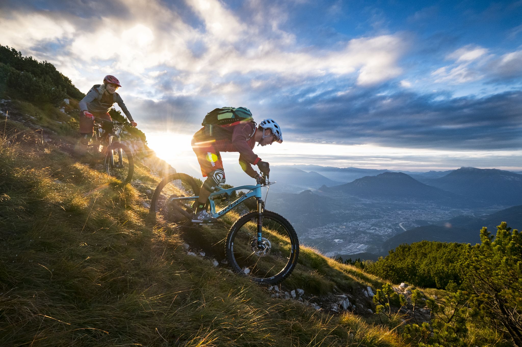
Mountain Biking in Trentino — from the Dolomites to Lake Garda
Hiking around Vallarsa
Road Cycling Routes around Vallarsa
Cycling around Vallarsa
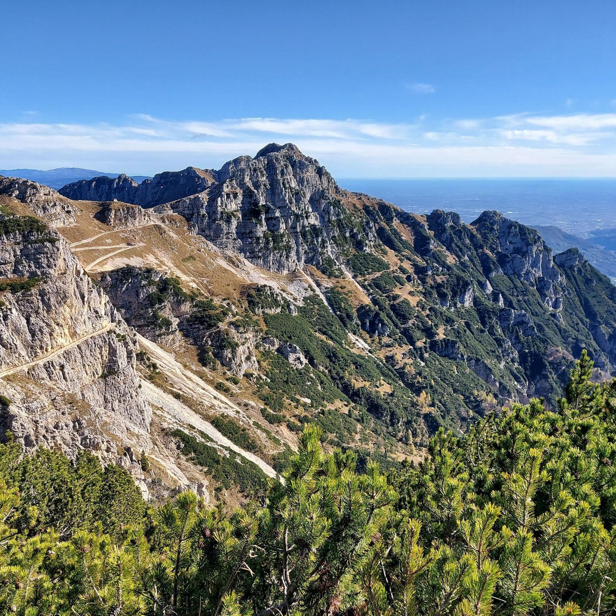
Running Trails around Vallarsa
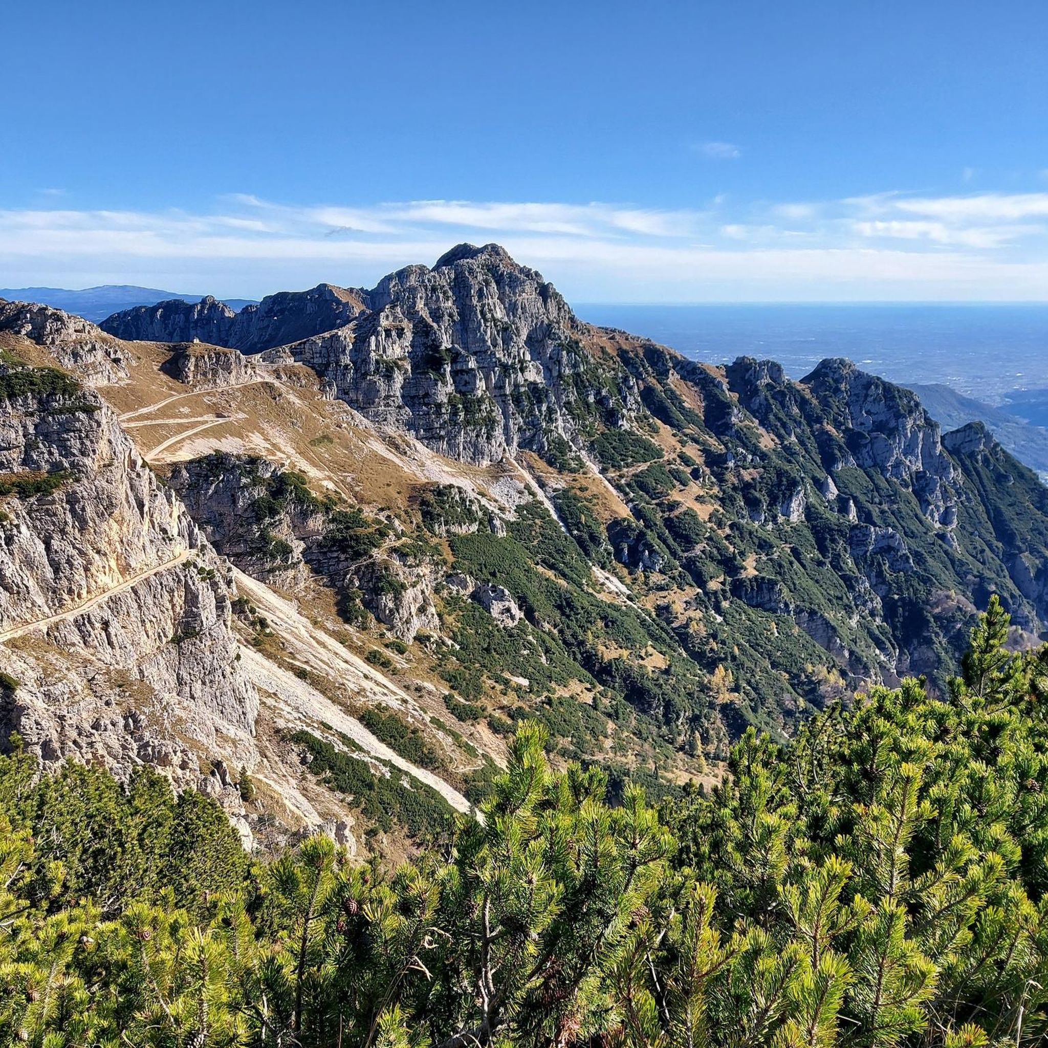
MTB Trails around Vallarsa
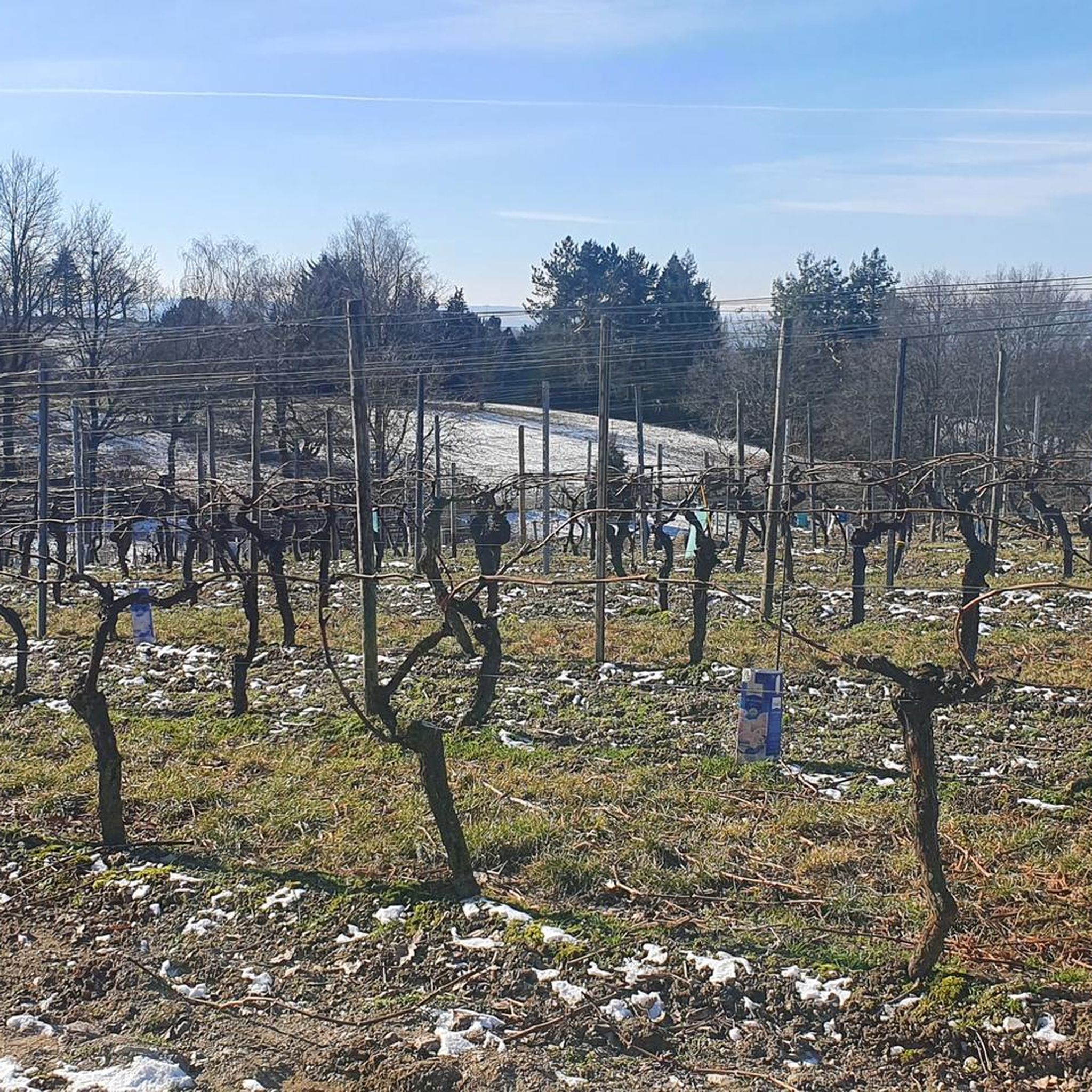
Gravel biking around Vallarsa
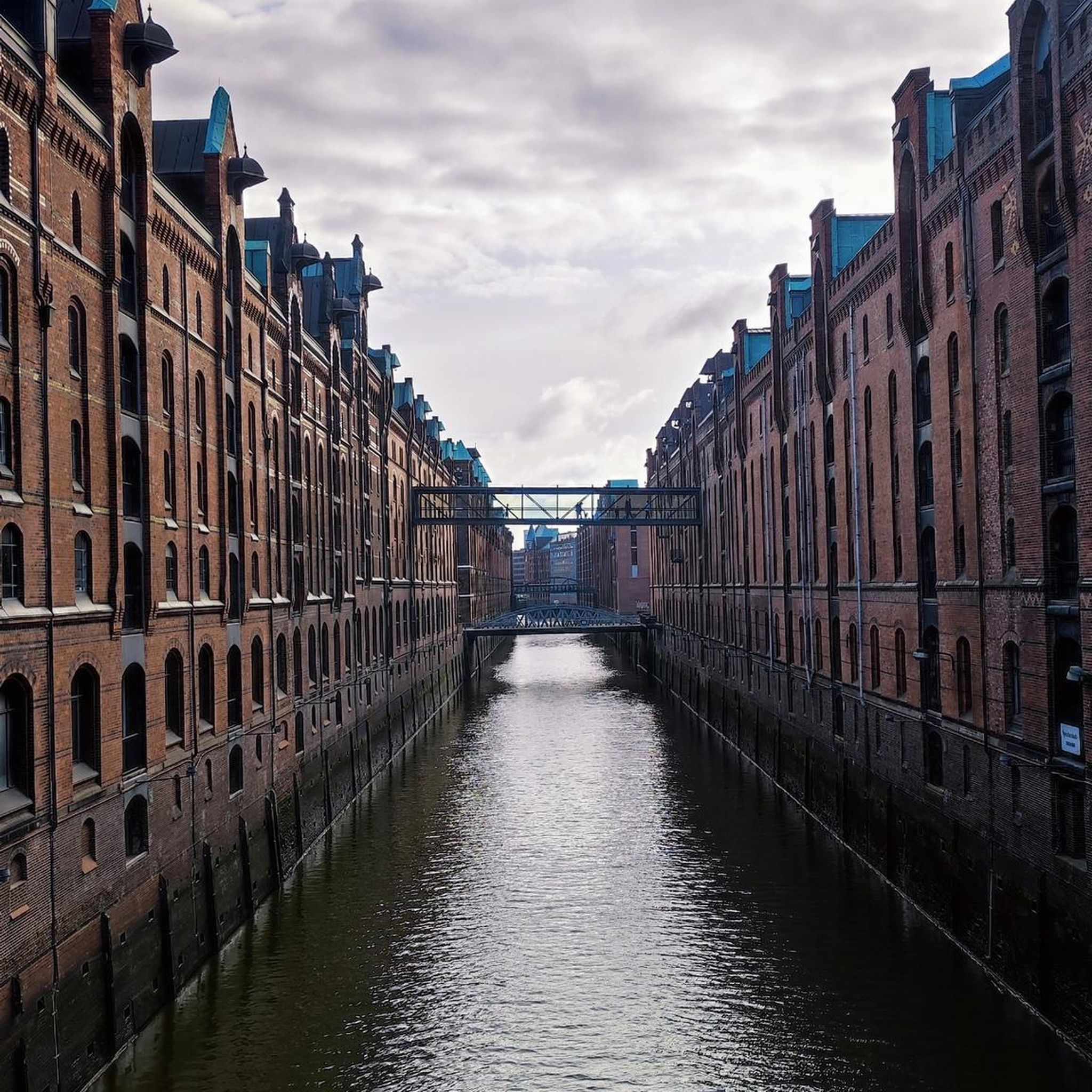
Mountain Hikes around Vallarsa

Tips from the Community

Trail 121 is a beautiful route for climbing the Tre Croci chain in one go. It begins in the woods, but as it climbs, it becomes increasingly rugged, rocky, and technical, passing rocky spires and panoramic vantage points. It ends with frequent switchbacks on a spectacular, increasingly narrow ravine, all the way to the Rìstele Pass. Accessing it from above and descending it is also very impressive, perhaps even more so: the view from the pass is impressive, with the steep trail seemingly ending in the void! The trail originated as a military mule track during World War I, part of the Italian defense system that controlled the border with the Austro-Hungarian Empire (now the border with Trentino).
0
0
The Val Canale is the largest drainage basin descending from the southern slope of the Pasubio massif, as well as the most direct, short but fairly steep route to the Papa Refuge. After an initial stretch through a beautiful forest, the landscape opens up onto the valley itself, with the trail advancing between high walls and rocky spurs, occasionally crossing scree and scree: a highly evocative climb. During the First World War, before the construction of the Road of the 52 Tunnels in 1917, it was the main Italian route to the Pasubio Gates, the immediate rear of the front: in addition to the mule track, cableways ensured supplies for the army. https://it.wikipedia.org/wiki/Val_Canale_(Pasubio)
1
0

Valle del Boia, a very fresh valley near the town of Campotamaso
0
0

Beautiful route for EE (Expert Hikers) as in just a few km there is a huge difference in altitude. The route is steep at times, almost like a climb, at times sheer, so be careful not to slip otherwise you will arrive directly down. This road connects directly if I'm not mistaken with the 41st tunnel, from there you continue and reach the Papa refuge
1
0
Magnificent Braggion path all along the valley and the river, a path that leads to the Castiglieri cross, one of the most beautiful routes for those who live in the area. Campotamaso, Valdagno.
0
0
The deep, shady Boja Valley is a captivating and pristine environment: wild, humid, lush, captivating, and abundant with water. It flows alongside the rushing stream and encounters spectacular and unexpected waterfalls. It is, of course, at its best after days of heavy rain. It is essentially the outward journey of the Braggion Trail, which runs as a loop from/to Campotamaso. It can be treacherous due to the damp and wet terrain, although the most difficult sections are equipped with steel cables, steps, and small bridges. Many documents refer to it as the "Enchanted Valley" for its fairytale appearance, populated by anguàne and salbanèi. "Val del Boja" takes its name from a legend with horror overtones... A solitary family lived here: father, mother, and son, but the young woman died of illness; The man raised his son, named Mattia, with love, earning a living by working as a woodcutter, woodcarver, and herder. He always kept him with him, fearing something would happen to him; but one day, when the boy was eighteen, he sent him alone to sell the fruits of their labor in the village. Just on the way home, the young man was attacked and killed by bandits. When his father learned of this, he went mad and began killing anyone he encountered along the paths with an axe... a hangman, indeed! Until, one stormy night, he died, crying out the name of his beloved son for the last time.
2
0
Truly magnificent! An Italian mule track from the Great War that winds along the rugged and spectacular Sengio Alto mountain range, in the heart of the Little Dolomites, among spires and towers, gorges and tunnels, with beautiful views of the valleys. After the Strafexpedition of 1916, the Austrian invasion of the Italian front, the Army Corps of Engineers built a series of routes to connect and supply the various observation and artillery positions at high altitude, complete with tunnels and shelters. The Sengio Alto offered a strategic natural barrier, dominating the enemy's possible invasion routes from the Vallarsa toward the Val Leogra and the Agno Valley. https://it.wikipedia.org/wiki/Catena_del_Sengio_Alto
2
0

A panorama will leave you breathless, the Val Canal is a set of exceptional scents and views.
3
0
Frequently Asked Questions
What natural features can I expect to see in the canyons around Vallarsa?
Vallarsa's canyons are characterized by a rugged and lush landscape, shaped by abundant rainfall and impressive geological formations. You'll encounter deep gorges, caves, and natural trails. The erosion by rivers like the Leno has sculpted spectacular canyons, often featuring polished rock walls, waterfalls, pools, and unique rock formations. The area around the Hermitage of San Colombano, for instance, boasts emerald-colored waters and dramatic canyon views.
Are there historical sites or trails to explore within the canyons of Vallarsa?
Yes, Vallarsa's canyons are rich in history, particularly from World War I. You can explore the Arroccamento Trail of Sengio Alto (SAT/CAI 149), an amazing historical route climbing between jagged crests and gullies with exceptional panoramas, featuring tunnels and military posts. Similarly, Val Fontana d'Oro and Canale Valley (Pasubio) were also transformed into military mule tracks during the war. Additionally, the Hermitage of San Colombano, built into a rock face overlooking the Leno River, is a significant historical and architectural marvel accessible via a thousand-year-old stairway.
What is the best time of year to visit the canyons in Vallarsa?
The best time to visit the canyons in Vallarsa is generally during the warmer months, from late spring to early autumn (May to October). During this period, the weather is more favorable for hiking and canyoning, and the lush vegetation is at its peak. After heavy rains, the waterfalls and streams are particularly impressive, enhancing the wild beauty of places like Val del Boia.
What kind of outdoor activities can I do near the canyons in Vallarsa?
Beyond exploring the canyons themselves, Vallarsa offers a variety of outdoor activities. You can find numerous options for Mountain Hikes, Running Trails, and Gravel Biking. The region is also particularly known for its canyoning opportunities, with equipped routes that showcase the valley's dramatic geological formations.
Are there any family-friendly options for exploring the canyons in Vallarsa?
While many canyoning routes in Vallarsa can be challenging, the general area offers natural trails suitable for families. For instance, the hike to the Hermitage of San Colombano provides stunning views of the canyon and lake without requiring specialized canyoning equipment. When planning, look for trails described as less technical or with amenities, and always check the difficulty ratings for specific routes.
Where can I experience canyoning in Vallarsa?
Vallarsa offers exciting canyoning experiences. The Ciama Canyon, located in middle Vallarsa above Lago della Busa, provides a deep and extensively carved descent that naturally concludes with a refreshing dip in the lake. Another elaborate canyoning route is found near the Hermitage of San Colombano in lower Vallarsa, featuring numerous jumps, natural slides, and waterfalls, typically requiring at least two hours for the descent.
What makes the <a href="https://www.komoot.com/highlight/3590563" target="_blank" rel="noopener">Canale Valley (Pasubio)</a> a notable canyon?
The Canale Valley (Pasubio) is notable as the largest drainage basin descending from the southern slope of the Pasubio massif. It offers a highly evocative climb between high walls and rocky spurs. Historically, it was a crucial Italian route to the Pasubio Gates during World War I, with mule tracks and cableways ensuring supplies for the army.
What is special about the <a href="https://www.komoot.com/highlight/5387506" target="_blank" rel="noopener">Val Fontana d'Oro</a>?
The Val Fontana d'Oro is a wild and spectacular gorge, recognized as one of the oldest routes to climb Pasubio. It was later transformed into a military mule track during World War I. The trail winds and climbs between majestic rock faces, with the tall and sharp spire known as 'the Campanile' often in view, offering rugged and airy sections for experienced hikers.
What is the <a href="https://www.komoot.com/highlight/6532402" target="_blank" rel="noopener">Val del Boia</a> known for?
The Val del Boia is a deep, shady, and captivating environment known for its wild, humid, and lush character, abundant with water. It features spectacular and unexpected waterfalls, especially after heavy rains. Often referred to as the 'Enchanted Valley' for its fairytale appearance, it's part of the Braggion Trail, with some difficult sections equipped with steel cables, steps, and small bridges.
What kind of terrain can I expect on trails like <a href="https://www.komoot.com/highlight/7636583" target="_blank" rel="noopener">Vajo di Passo Risterle</a>?
Trails like Vajo di Passo Risterle (Trail 121) offer increasingly rugged, rocky, and technical terrain as they climb. You can expect to pass rocky spires and panoramic vantage points, with frequent switchbacks on a spectacular, increasingly narrow ravine. This trail, originating as a military mule track during World War I, provides an alpine environment that should not be underestimated.
What do visitors enjoy most about the canyons around Vallarsa?
Visitors frequently appreciate the raw geological power and the immersive experience offered by Vallarsa's canyons. The combination of natural beauty, such as polished rock walls, waterfalls, and unique rock formations, with the rich historical context of World War I trails and sites like the Hermitage of San Colombano, creates a unique and memorable adventure. The challenging yet rewarding routes and breathtaking panoramas are often highlighted.
Most popular routes around Vallarsa
Most popular attractions around Vallarsa

Get inspired with the komoot mobile app


Explore more
Already discovered everything in this region? See additional gorges around Vallarsa for your next adventure:
