The 5 Most Amazing Peaks around Campolongo Tapogliano
Mountain peaks around Campolongo Tapogliano are primarily elevated historical sites and viewpoints in the surrounding Karst region, as the municipality itself is situated on a flat plain at 16 meters above sea level. This area, part of Friuli-Venezia Giulia, is characterized by its historical architecture and lowland natural environment. The nearby elevated terrain offers significant historical landmarks, particularly those related to World War I. Visitors can explore these sites, which provide panoramic views and insights into the region's past.
Best…
Last updated: May 18, 2026
Summit 3 of Monte San Michele
Highlight • Viewpoint
Translated by Google •
Tip by

Monte San Michele and World War I Open-Air Museum
Highlight • Historical Site
Tip by

Sign up now to discover places like this
Get recommendations on the best single tracks, peaks, & plenty of other exciting outdoor places.
Sign up for free
Monte Sei Busi – Fortifications at Elevation 118
Highlight • Historical Site
Translated by Google •
Tip by
M.te S.Michele - San Martino del Carso
Highlight • Monument
The four peaks of San Michele. A short and very easy route to immerse yourself in one of the bloodiest battlefields of the Great War.
Translated by Google •
Tip by

Sveta Gora
Highlight • Religious Site
Translated by Google •
Tip by

Start today with a free account
Your next adventure awaits.
Login or Signup
Tips from the Community

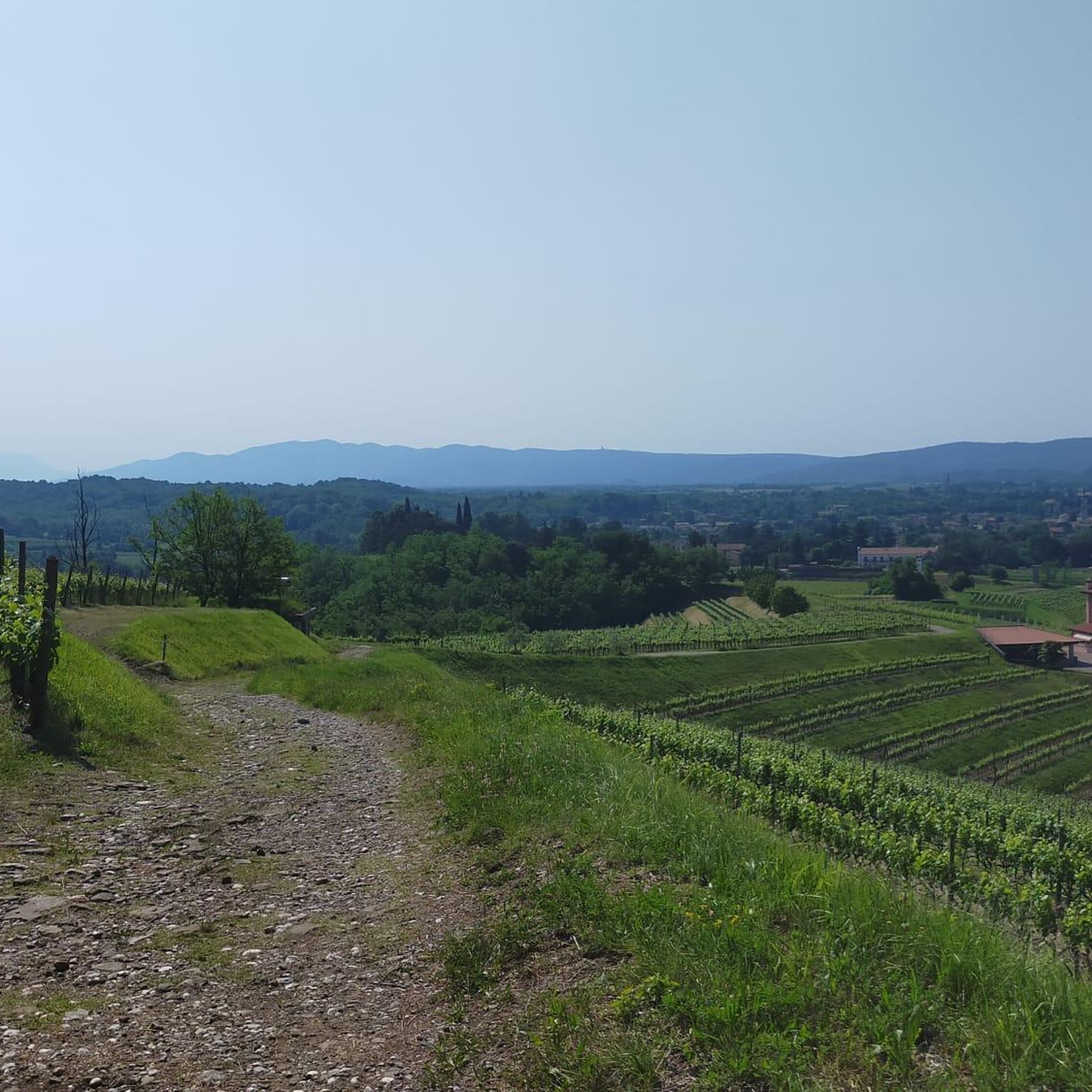
A panoramic viewpoint with the Great War Museum nearby, a must-see.
0
0

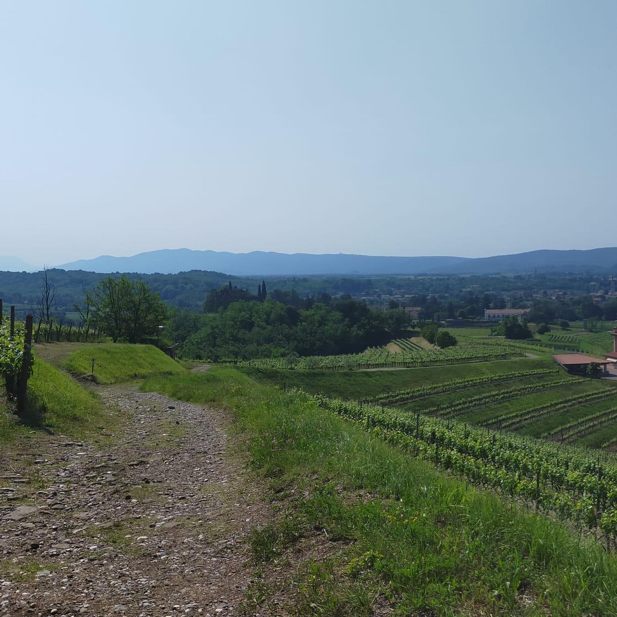
At the top of the sanctuary you can enjoy a 360 degree view from the sea to the Alps, on a clear day it's a real spectacle.
0
0
A beautiful museum where you can admire and study historical artifacts to understand life in the trenches.
0
0

https://www.komoot.com/it-it/tour/747479121 The four peaks of San Michele. A short and very easy route to immerse yourself in one of the bloodiest battlefields of the Great War.
0
0

The museum has recently been re-arranged and equipped with multimedia stations. The museum guides make the narration of the battles of the Carso compelling.
0
0

A fairly well-kept panoramic area, although with a series of works in progress
1
0

Lest we forget World War I. Short but challenging climb; motorized traffic close to zero
2
0

Well known thanks to the poems of Giuseppe Ungaretti, who fought here for several months, Mount San Michele was the scene of very tough battles on the Isonzo front, especially in the first year of the war. The peak, defended by Hungarian troops, was fundamental for the defense of the Isonzo front and in particular of the city of Gorizia. Italian soldiers attacked this relief of just 275 meters several times with catastrophic results especially during the Second and Third Battle of the Isonzo. Only in August 1916, during the Sixth Battle of the Isonzo, came the turning point with the conquest of the peak. Declared a Monumental Zone in 1922, today this museum area allows access to the various gun galleries on the summit of the mountain enjoying, thanks to augmented reality, a truly immersed experience of what the Great War was in this territory.
0
0
Frequently Asked Questions
What kind of "mountain peaks" can I expect around Campolongo Tapogliano?
Campolongo Tapogliano itself is located on a flat plain. The "mountain peaks" in this guide refer to elevated historical sites and viewpoints in the surrounding Karst region. These are primarily significant for their role in World War I and offer panoramic views, rather than being high alpine peaks.
Which historical sites are prominent among the elevated areas near Campolongo Tapogliano?
The elevated areas are rich in World War I history. Notable sites include Monte San Michele and World War I Open-Air Museum, which provides a panorama and serves as a museum. Another significant location is Monte Sei Busi – Fortifications at Elevation 118, known for its historical value and numerous exploration tracks.
Are there any viewpoints offering panoramic views in the Campolongo Tapogliano area?
Yes, several elevated sites offer excellent views. Summit 3 of Monte San Michele is a popular observation point dominating the Isonzo valley, complete with a wind rose to identify historical locations. Another site, Sveta Gora, offers a 360-degree view from the sea to the Alps on clear days.
Can I find family-friendly elevated sites or trails near Campolongo Tapogliano?
Yes, some elevated sites are considered family-friendly. For instance, M.te S.Michele - San Martino del Carso is noted as family-friendly and offers a short, easy route to explore a significant WWI battlefield. Summit 3 of Monte San Michele also has family-friendly sections.
What kind of outdoor activities can I do near these elevated sites?
While the immediate area of Campolongo Tapogliano is flat, the surrounding region offers various outdoor activities. You can find numerous routes for cycling, hiking, and running. For example, there are easy cycling loops like the Saciletto Castle route, and moderate hiking trails such as the Castello di Saciletto loop. You can explore more options in the Cycling around Campolongo Tapogliano, Hiking around Campolongo Tapogliano, and Running Trails around Campolongo Tapogliano guides.
Are there specific hiking trails around Campolongo Tapogliano?
Yes, there are hiking trails available. While the municipality itself is flat, the broader area offers routes like the moderate "Castello di Saciletto – Open Fields With Hay Bales loop from Aiello del Friuli" (12.2 km) or easier options such as the "Open Fields With Hay Bales loop from Aiello del Friuli / Dael" (6.9 km). These trails allow you to explore the lowland flora and historical sites. For more details, refer to the Hiking around Campolongo Tapogliano guide.
What is the best time of year to visit the elevated sites around Campolongo Tapogliano?
The Friuli-Venezia Giulia region generally experiences pleasant weather in spring (April-May) and autumn (September-October), making these ideal times for exploring historical sites and enjoying panoramic views without extreme heat or cold. Summer can be warm, while winter might bring colder temperatures, especially at higher elevations.
Are the trails to these elevated sites challenging?
The difficulty of trails to these elevated sites varies. Some, like the routes around M.te S.Michele - San Martino del Carso, are described as short and very easy. Others, such as those leading to Summit 3 of Monte San Michele, can involve dirt roads and paths of different difficulties, including intermediate and challenging sections. It's advisable to check individual route descriptions for specific difficulty ratings.
What do visitors enjoy most about the elevated sites near Campolongo Tapogliano?
Visitors highly appreciate the historical significance and the panoramic views. Many find the sites, particularly those related to World War I, to be very suggestive and impactful. The ability to retrace history while enjoying beautiful landscapes is a major draw, with many sharing photos and upvoting these unique locations.
Are there any religious sites among the elevated areas?
Yes, Sveta Gora is an elevated site that features a religious building. From the top of the sanctuary, visitors can enjoy a 360-degree view, making it a place of both spiritual and scenic interest.
Can I explore these elevated sites by mountain bike?
Yes, some of the elevated historical sites are suitable for mountain biking. For example, Monte Sei Busi – Fortifications at Elevation 118 is described as a site of undisputed historical value to visit by mountain bike, with numerous tracks available in the area for exploration.
Is there a difference between Campolongo Tapogliano and Passo Campolongo?
Yes, there is a significant geographical difference. Campolongo Tapogliano is a municipality in the Friulian plain at a low elevation. Passo Campolongo, on the other hand, is a high mountain pass in the Dolomites, located approximately 200 kilometers away. This guide focuses on the elevated historical sites and viewpoints in the region surrounding Campolongo Tapogliano, not the high alpine peaks of the Dolomites.
Most popular routes around Campolongo Tapogliano
Most popular attractions around Campolongo Tapogliano

Get inspired with the komoot mobile app


Explore more
See even more amazing summits around Campolongo Tapogliano with these guides:
