Babiogórski Park Narodowy
Babiogórski Park Narodowy
The 6 Most Amazing Peaks around Babiogórski Park Narodowy
Best mountain peaks around Babiogórski Park Narodowy are found in southern Poland, near the border with Slovakia. This region is characterized by a diverse mountain landscape and significant biodiversity, recognized as a UNESCO Biosphere Reserve. The park features all distinct altitudinal vegetation zones, from montane forests to subalpine meadows and rocky outcrops. Its terrain includes challenging trails and offers panoramic views from its summits.
Best mountain peaks around Babiogórski Park Narodowy
- The most popular mountain peaks is Babia Gora (Diablak)…
Last updated: October 2, 2026
Babia Góra (Diablak)
Highlight • Summit
Translated by Google •
Tip by

View from Sokolica
Highlight • Viewpoint
Oh, and there's a bench too.
Translated by Google •
Tip by

Sign up now to discover places like this
Get recommendations on the best single tracks, peaks, & plenty of other exciting outdoor places.
Gówniak
Highlight • Summit
Translated by Google •
Tip by
Kepa
Highlight • Summit
pl.m.wikipedia.org/wiki/K%C4%99pa_(Beskid_%C5%BBywiecki)
Translated by Google •
Tip by

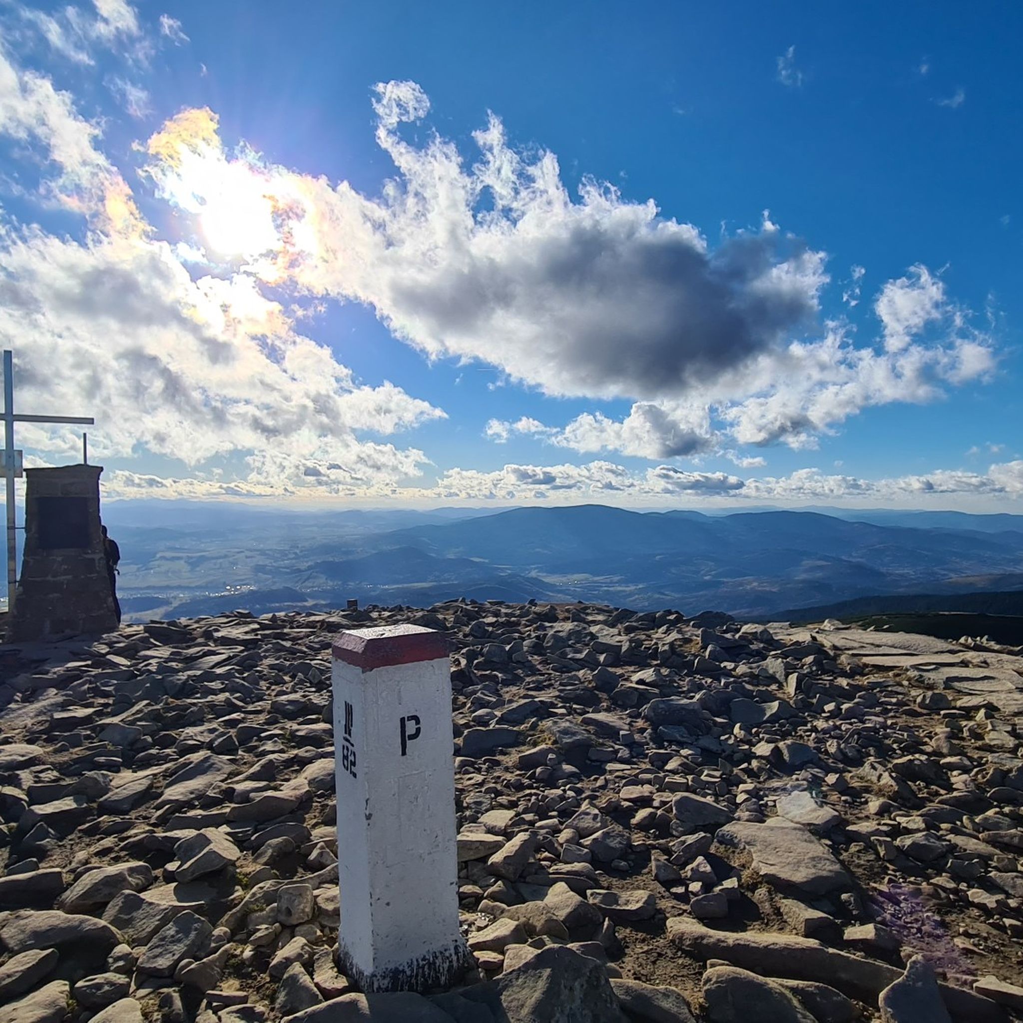
Border Marker Poland–Slovakia (Babia Góra)
Highlight • Summit
Translated by Google •
Tip by

Sign up for free to discover even more peaks around Babiogórski Park Narodowy.
Already have an account?
Start today with a free account
Your next adventure awaits.
Popular around Babiogórski Park Narodowy

Main Beskids Trail — the longest Polish Mountain Trail
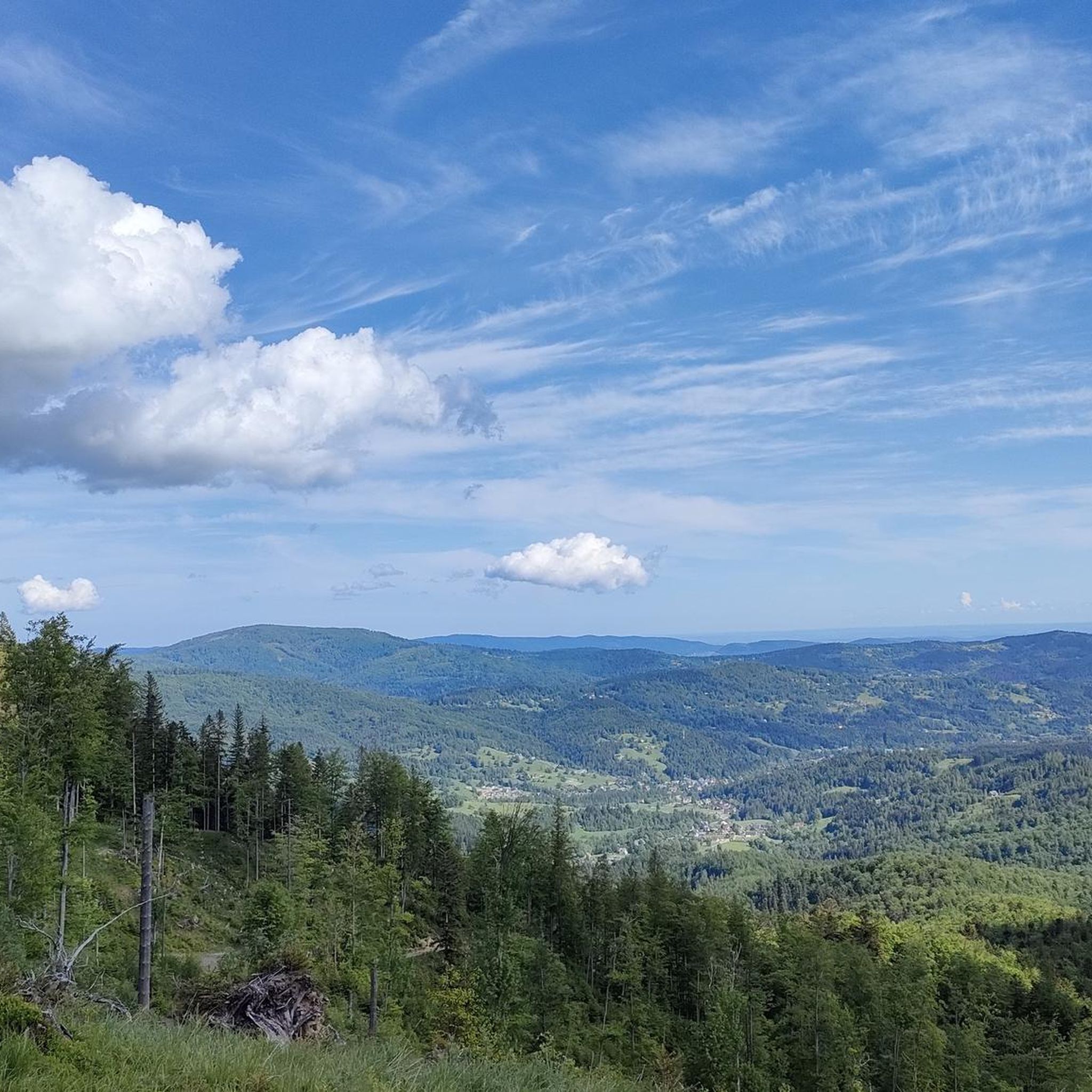
Hiking around Babiogórski Park Narodowy

Mountain Hikes around Babiogórski Park Narodowy
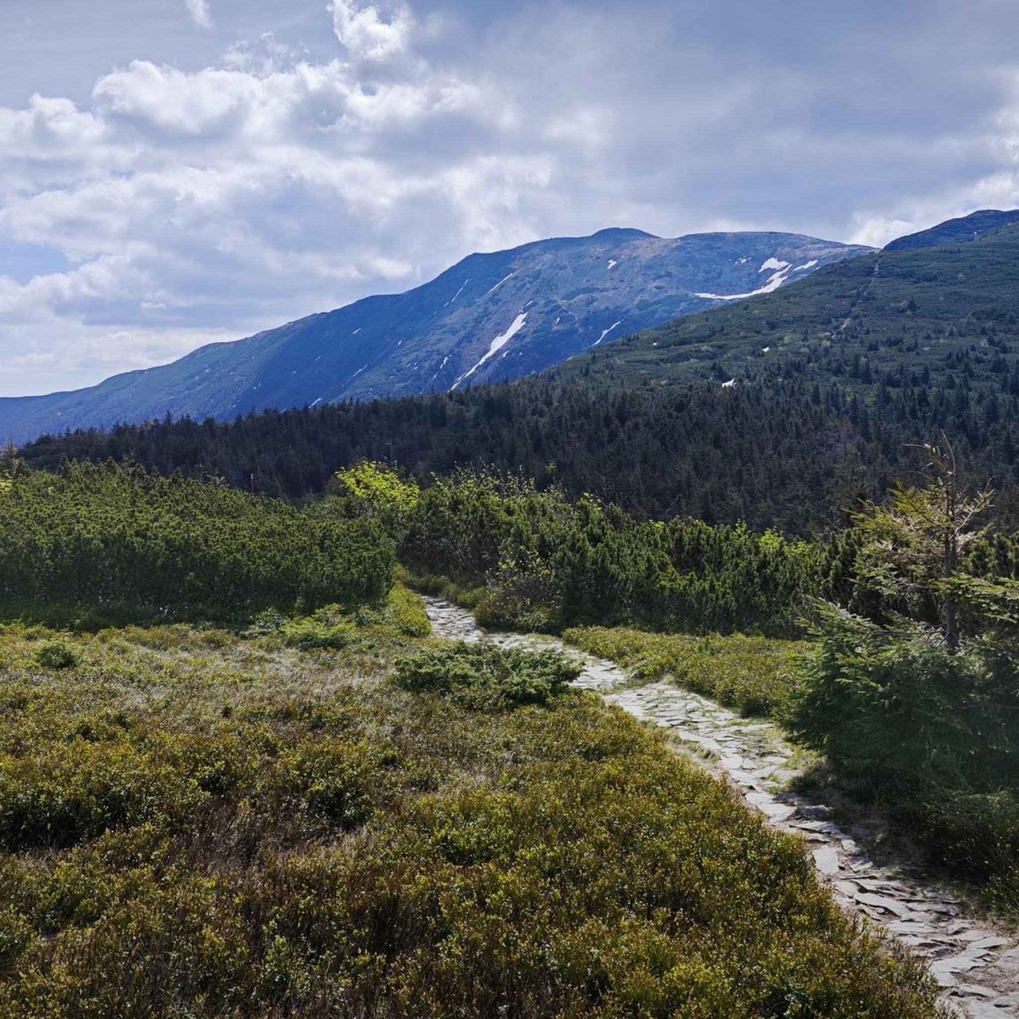
Running Trails around Babiogórski Park Narodowy
Cycling around Babiogórski Park Narodowy
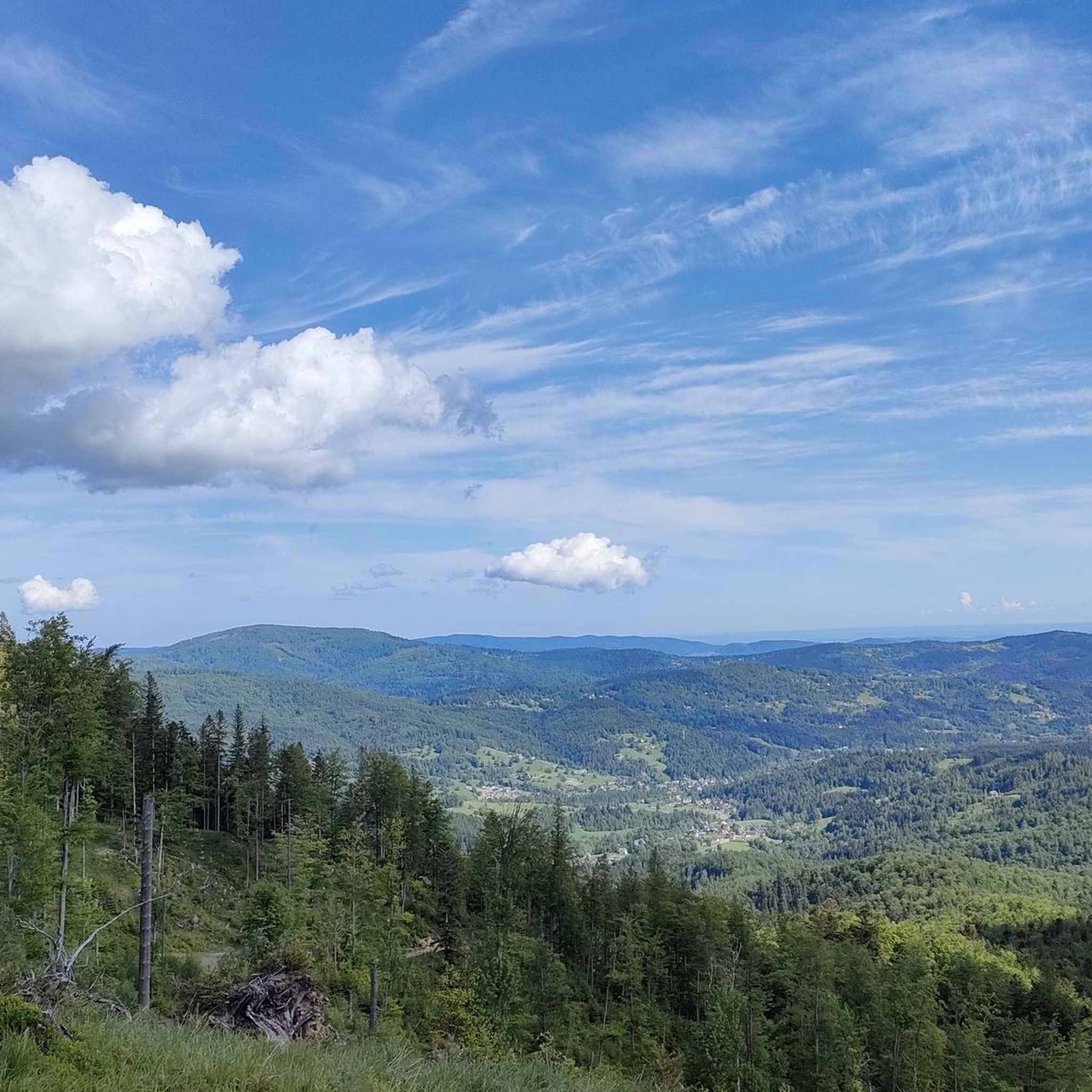
Road Cycling Routes around Babiogórski Park Narodowy
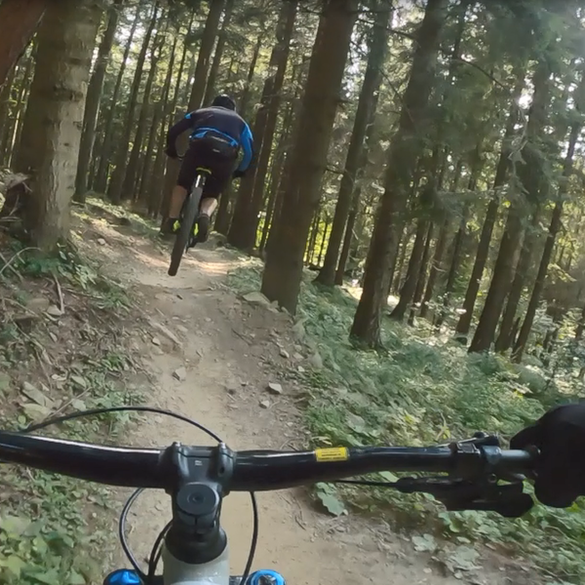
MTB Trails around Babiogórski Park Narodowy

Gravel biking around Babiogórski Park Narodowy
Other adventures around Babiogórski Park Narodowy

Tips from the Community

From the Krowiarek Pass to Babia Góra, this is the first peak to be conquered, there are nice views and benches to rest on
0
0

Further information can be found at the following link: https://de.m.wikipedia.org/wiki/Diablak
1
0
Further information can be found at the following link: https://de.m.wikipedia.org/wiki/G%C3%B3wniak
1
0
Further information can be found at the following link: https://pl.m.wikipedia.org/wiki/K%C4%99pa_(Beskid_%C5%BBywiecki)
1
0
Further information can be found at the following link: https://de.m.wikipedia.org/wiki/Sokolica_(Saybuscher_Beskiden)
1
0

Gówniak is a beautiful mountain in the Babia Góra range, at an elevation of 1,644 meters above sea level. That's high. To the west is Diablak, the highest peak of Babia Góra. But where does the unfortunate name "Gówniak" come from (if you speak Polish, you know what I'm talking about!)? It turns out that many oxen once grazed on the slopes of Babia Góra, and the mountain takes its name from their abundant droppings...
1
0

Great view point, always windy but worth the climb
0
0
Sokolica, at an altitude of 1,367 meters, is actually an observation deck above a cliff with views of Babia Góra and Zawoja. It's impressive and has inspired artists for years. Oh, and there's a bench too.
1
0
Frequently Asked Questions
What are the most notable mountain peaks in Babiogórski Park Narodowy?
The most prominent peak is Babia Góra (Diablak), standing at 1,725 meters, which is the highest peak in the Polish Beskids. Other significant peaks include Mała Babia Góra (Cyl), Gówniak, and Kępa, all part of the Babia Góra massif. Additionally, Sokolica offers striking views as a viewpoint.
What makes Babia Góra (Diablak) a significant peak to visit?
Babia Góra (Diablak) is renowned for its breathtaking panoramic views, which on clear days can extend to the Tatra Mountains. It's particularly famous for spectacular sunrises. The peak is also unique for exhibiting all distinct altitudinal vegetation zones, from montane forests to subalpine meadows and rocky outcrops, hosting many rare plant species.
Are there challenging hiking trails to the summits in Babiogórski Park Narodowy?
Yes, the park offers challenging trails, especially to the summit of Babia Góra. The red-marked trail from Zawoja, part of Poland's Main Beskid Trail, is a popular and demanding ascent. The northern slopes of Babia Góra are notably rocky and steep. For those seeking a challenge, the Babia Gora (Diablak) highlight is categorized as challenging.
What kind of views can I expect from the peaks in Babiogórski Park Narodowy?
From the summits, especially Babia Góra (Diablak), you can expect extensive panoramic views that can reach the Tatra Mountains on clear days. The View from Sokolica, at 1,367 meters, provides impressive vistas of Babia Góra and the surrounding valleys. Mała Babia Góra (Cyl) also offers stunning panoramas in almost every direction.
What unique natural features can be observed on the peaks of Babiogórski Park Narodowy?
The park is a UNESCO Biosphere Reserve, notable for its well-preserved vegetation tiers. You can observe all distinct altitudinal vegetation zones, from lower and upper montane forests to dwarf mountain pine thickets and subalpine meadows. Rare and endemic plant species, such as the Babia Góra sandwort and Alpine bistort, thrive here. The summit area of Babia Góra also features the largest rock scree in the Polish Western Beskids.
Is Mała Babia Góra (Cyl) worth visiting compared to Babia Góra?
Absolutely. While less popular than Babia Góra, Little Babia Gora (Cyl) offers its own charm with stunning panoramic views, often less crowded, especially on weekends. It is characterized by thriving dwarf mountain pine and provides excellent perspectives of Babia Góra itself and other Polish and Slovak peaks.
What is the best time of year to hike the mountain peaks in Babiogórski Park Narodowy?
The best time to visit for hiking is typically from late spring to early autumn (May to October) when the weather is milder and trails are generally clear of snow. However, the park is beautiful year-round. Be prepared for rapid weather changes at higher altitudes; even in summer, conditions on the peaks can resemble autumn, and winter conditions can be extreme.
Are there any specific permits required for hiking in Babiogórski Park Narodowy?
Babiogórski Park Narodowy generally requires an entrance fee for visitors. It's advisable to check the official park website for the most current information regarding fees and any specific regulations or permits that might be required for certain trails or activities. You can find more information at bgpn.gov.pl.
What outdoor activities, besides hiking, can I do near the mountain peaks?
Beyond hiking, the region around Babiogórski Park Narodowy offers various cycling opportunities. You can find numerous routes for touring bicycles, such as the difficult 'Gubernasówka Viewpoint – Hala Mędralowa and the hut loop from Zakopaniec', or road cycling routes like the 'Przełęcz Krowiarki loop from Barańcowa'. For more details, explore the Cycling around Babiogórski Park Narodowy and Road Cycling Routes around Babiogórski Park Narodowy guides.
Are there family-friendly options for exploring the peaks in Babiogórski Park Narodowy?
While some peaks like Babia Góra offer challenging ascents, there are intermediate options that might be suitable for families with older children or those accustomed to mountain hiking. Peaks like Gówniak and Kepa are categorized as intermediate. Always assess the difficulty and your family's fitness level before embarking on a trail. Shorter, less steep sections of trails or paths leading to viewpoints like View from Sokolica could also be considered.
What are some popular running trails near the Babiogórski peaks?
For runners, there are several dedicated trails around the Babiogórski peaks. Popular options include the 'Babia Góra loop from Przełęcz Krowiarki' and the 'Krowiarki Pass – Wet Pond loop from Przełęcz Krowiarki'. These routes offer a mix of moderate to difficult terrain, providing a good challenge for trail runners. You can find more running routes in the Running Trails around Babiogórski Park Narodowy guide.
What should I know about the terrain when hiking in Babiogórski Park Narodowy?
The terrain in Babiogórski Park Narodowy varies significantly. While some paths are well-maintained, higher elevations, especially on Babia Góra, feature rocky and steep sections. The northern slopes of Babia Góra can be particularly challenging, with inclines up to 70 degrees, and the summit area includes large rock screes. The southern slopes are generally gentler. Always wear appropriate footwear and be prepared for changing conditions.
Most popular routes around Babiogórski Park Narodowy
Most popular attractions around Babiogórski Park Narodowy

Get inspired with the komoot mobile app


Explore more
See even more amazing summits around Babiogórski Park Narodowy with these guides:
