Top 20 Waterfalls around Muotathal
Best waterfalls around Muotathal are located in a mountain-encircled valley in the canton of Schwyz, Switzerland. This region is characterized by its wild natural beauty, featuring numerous waterfalls and rushing white water streams. The landscape includes alpine meadows, forests, and mountains, with the Muota River contributing to its untamed nature. An extensive network of hiking trails provides access to these natural wonders.
Best waterfalls around Muotathal
- The most popular waterfalls is Waterfall at Lake Klöntal, a waterfall and lake…
Last updated: October 1, 2026
Waterfall at Lake Klöntal
Highlight • Waterfall
Translated by Google •
Tip by

Berglistüber Waterfall
Highlight • Waterfall
Translated by Google •
Tip by

Sign up now to discover places like this
Get recommendations on the best single tracks, peaks, & plenty of other exciting outdoor places.
Schreyenbachfall
Highlight • Waterfall
The Schreyenbach Falls used to be a natural attraction known throughout Switzerland. He has been silent since 1964, when the Linth-Limmern power plant went …
Translated by Google •
Tip by

Stäubifall Waterfall and Alp Äsch
Highlight • Waterfall
The cows and a few sheep look at you as if they want to welcome you here. The imposing, approximately 100 meter high waterfall called "Stäubifall" or …
Translated by Google •
Tip by
Hundloch Spring
Highlight • Natural Monument
Translated by Google •
Tip by
Sign up for free to discover even more waterfalls around Muotathal.
Already have an account?
Start today with a free account
Your next adventure awaits.
Popular around Muotathal
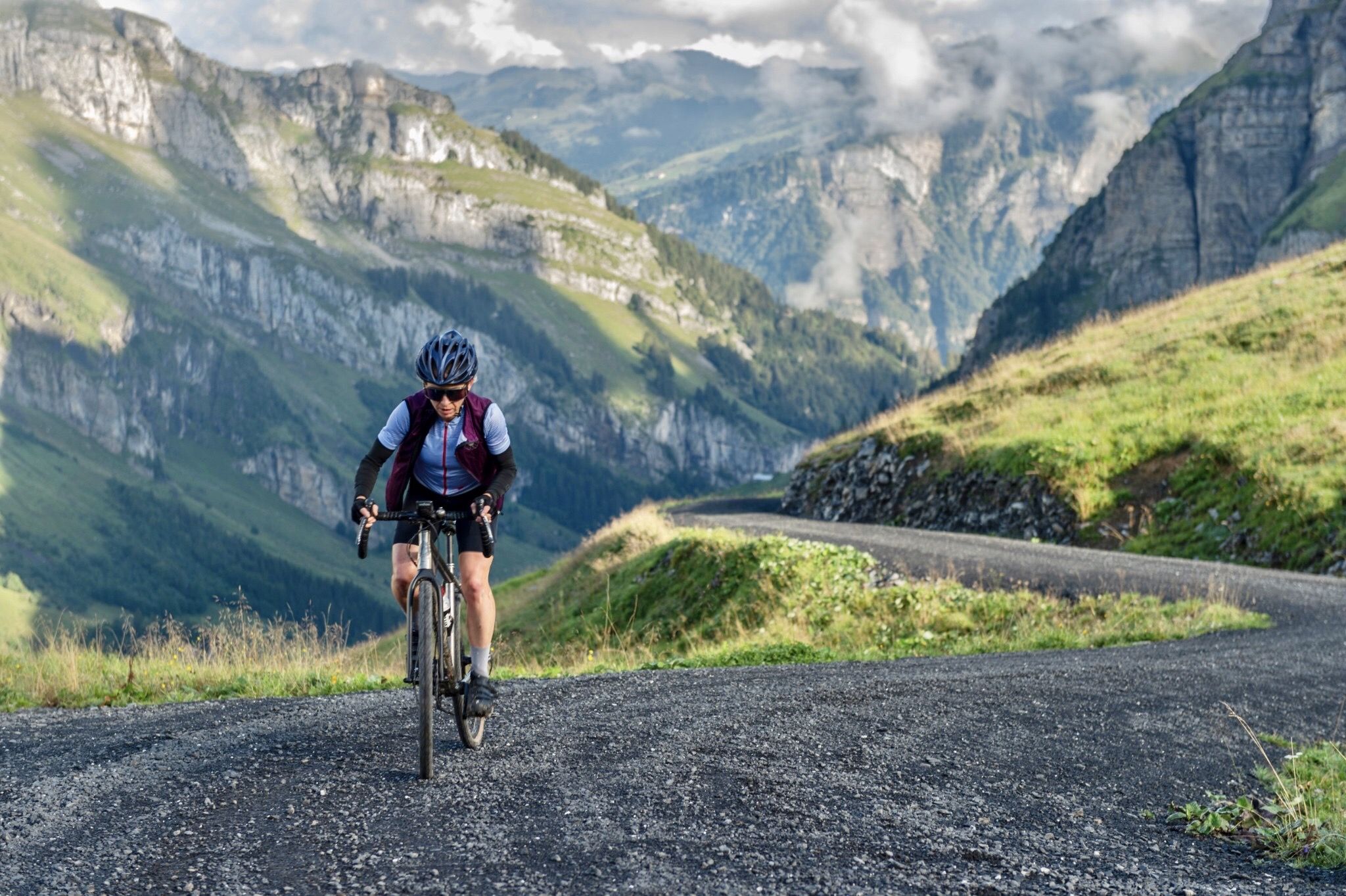
A summer of backdoor adventures in the Voralpen
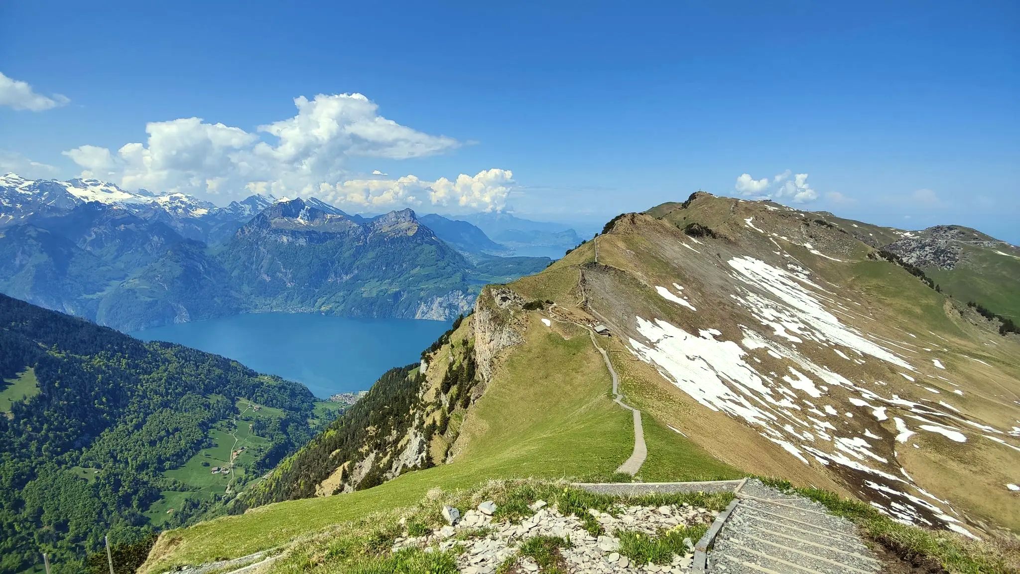
Spectacular panoramas – hiking in the Canton of Schwyz

On the Tell Trail over the Big 6 of Central Switzerland
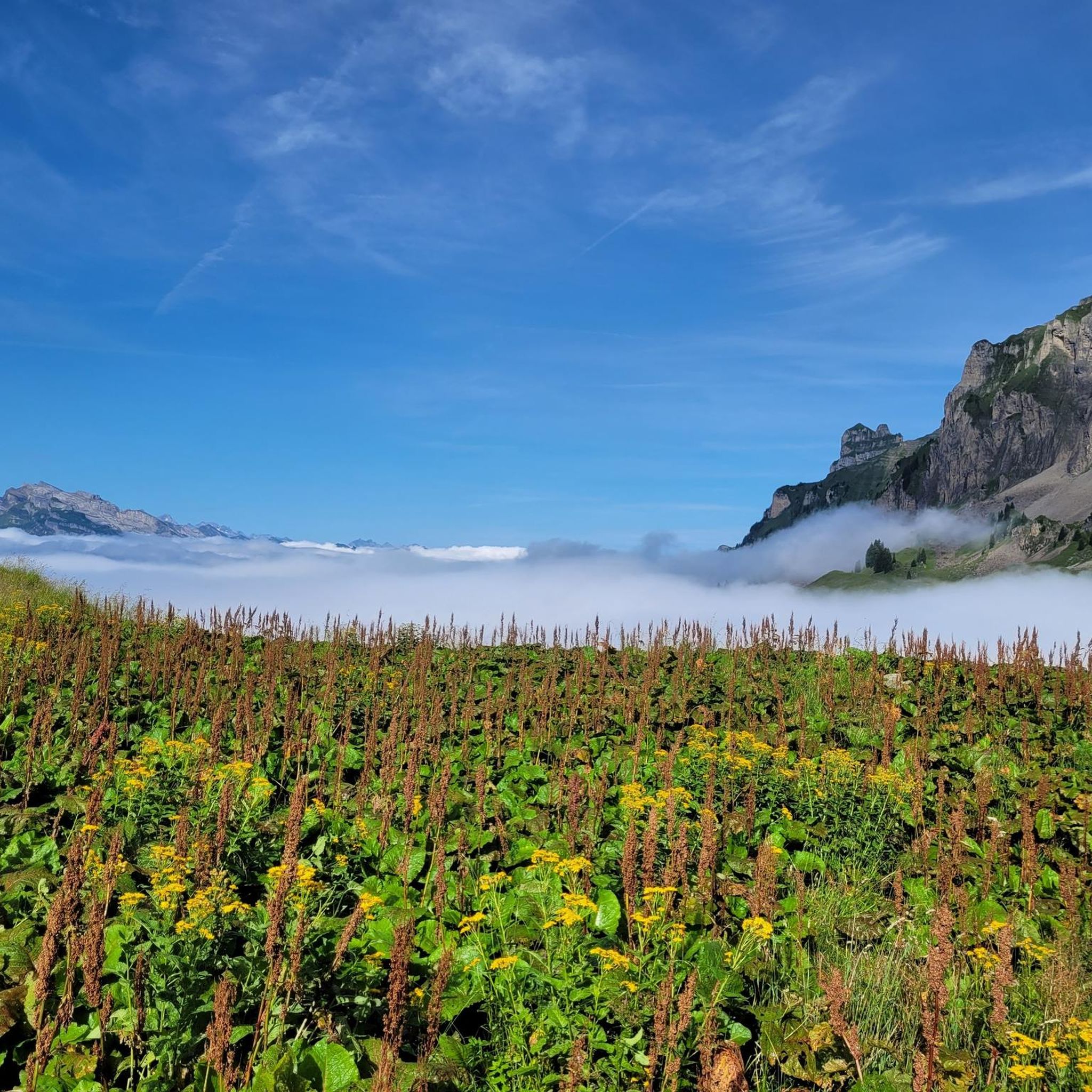
Hiking around Muotathal
Road Cycling Routes around Muotathal
Cycling around Muotathal
MTB Trails around Muotathal
Gravel biking around Muotathal
Running Trails around Muotathal
Mountain Hikes around Muotathal


Tips from the Community

A waterfall, always a fascination! As from afar, so also up close. And when you think that we can only experience and admire this beautiful natural spectacle for 45 days a year! A waterfall that is allowed to be a waterfall only during these few days a year. You can hike along the side of the waterfall on a path, or on the opposite side from Lin, where the view is also fantastic.
0
0

A very beautiful waterfall, located directly on the trail/hiking path from Tierfehd down to Linthal.
0
0

Beautiful waterfall and a trail in very good condition. Only in this section there is no marked trail and you have to jump between rocks.
1
0

We were there today and can only assume it's a nice hike. The access road from the southern end of the lake is practically impassable and only good for hiking, unfortunately. We'll try again another time.
0
0

An impressive sight even in winter with little water. Be careful of breaking ice!
0
0

You should really come here when the Schreyenbach actually has water - this is only the case for 45 days a year, from June 18th to August 2nd when the waterfall can be admired in all its glory. (https://glarnerland.ch/de/map/detail/schreyenbachfall-d847ff81-2e0e-4fbe-8c5e-b68cbd4ce992.html)
1
0

Easily accessible on foot or by bike from the Tierfed gondola car park.
0
0
A little down (narrow, steep forest path, just under 1 minute) from the road on the eastern shore of the Wägitalersee, the Ziggenbach flows imposingly in a short "canyon" into the lake.
0
0
Frequently Asked Questions
What are some of the most popular waterfalls to visit around Muotathal?
Beyond the well-known spots, visitors frequently enjoy the Waterfall at Lake Klöntal, which offers a shady hiking trail and an impressive cold difference directly under the falls. Another highly rated option is the Berglistüber Waterfall, a natural monument plunging 44 meters into the valley, easily accessible from the Klausenpassstrasse.
When is the best time to see the Schreyenbachfall in its full glory?
The Schreyenbachfall, though largely diverted for power generation, presents its full natural spectacle for 45 days each year. You can witness its impressive flow specifically between June 18th and August 2nd.
Are there family-friendly waterfall hikes in the Muotathal region?
Yes, several waterfalls in the area are suitable for families. The Waterfall at Lake Klöntal is noted for its shady, easy, and pleasant hiking trail with a touch of adventure. The Berglistüber Waterfall is also considered family-friendly and easily accessible.
What kind of hiking trails can I find near the waterfalls around Muotathal?
The Muotathal region offers an extensive network of over 280 kilometers of hiking trails that often lead past natural water features. You can find diverse options, from moderate loops like the 'Waldisee – Waterfall in Schwyz loop' to more challenging mountain hikes. For more details on hiking routes, explore the Hiking around Muotathal guide.
Are there any other notable waterfalls in the broader region near Muotathal?
Beyond the immediate Muotathal municipality, the Stäubifall near Unterschächen is an imposing waterfall approximately 100 meters high, particularly powerful in early season from melted snow. It offers tremendous views from several points along the Klausen Pass road.
What do visitors particularly enjoy about the waterfalls in Muotathal?
Visitors appreciate the wild natural beauty and the diverse experiences offered. For instance, at the Waterfall at Lake Klöntal, people enjoy the impressive cold difference and strong winds directly under the waterfall. The unique, regulated flow of the Schreyenbachfall during its operational period is also a highly anticipated event.
Can I combine a waterfall visit with other outdoor activities in Muotathal?
Absolutely. The region is excellent for combining waterfall viewing with other outdoor pursuits. You can find various hiking, gravel biking, and mountain hiking routes. For example, the 'Around Sahli' hike features an impressive waterfall alongside lakes and alps. Explore options in the Hiking around Muotathal or Gravel biking around Muotathal guides.
Is there a waterfall that offers a unique perspective, like walking behind it?
The Berglistüber Waterfall was historically known for a path that allowed visitors to walk behind the falls. While current safety measures might limit this, it remains a stunning waterfall to view from the front and side, just a five-minute walk from the Klausenpassstrasse.
Are there any natural monuments besides waterfalls to explore in the area?
Yes, the Muotathal region is rich in natural monuments. For example, the Hundloch Spring is a unique natural monument where water flows from below into a rock pool before pouring into a lake, popular with divers and easily accessible from the street.
What is the difficulty level of hiking trails leading to waterfalls in Muotathal?
Hiking trails in the Muotathal area vary in difficulty. You can find moderate routes, such as the 'Waterfall in Schwyz – Waldisee loop,' as well as more difficult options like the 'Glattalpsee – Glattalpsee Lakeside Trail loop.' It's advisable to check the specific route details for difficulty before heading out. You can find more information in the Hiking around Muotathal guide.
How accessible are the waterfalls by car or public transport?
Many waterfalls, like the Berglistüber Waterfall, are easily accessible, being just a five-minute walk from main roads like the Klausenpassstrasse. Specific details for parking and public transport access can vary for individual trailheads, so it's best to check the route information for your chosen hike.
Most popular routes around Muotathal
Most popular attractions around Muotathal

Get inspired with the komoot mobile app


Explore more
Happy to travel a little further afield? Then browse these guides for the best waterfalls around Muotathal:
