Top 5 Gorges around Schöntal
Best canyons around Schöntal are characterized by scenic valleys, dense forests, and numerous hiking opportunities. The municipality is defined by the valleys carved by rivers such as the Jagst, Sindelbach, Kessach, and Erlenbach. These areas offer diverse environments for outdoor activities, including well-marked hiking and cycling paths. Schöntal provides a natural landscape appealing to nature enthusiasts and hikers.
Best canyons around Schöntal
- The most popular canyons is Pfarrklinge Trail, a challenging gorge that is narrow and sloping. It offers…
Last updated: October 1, 2026
Hergstbach Valley
Highlight (Segment) • Gorge
Translated by Google •
Tip by

Zimmerbach Valley
Highlight (Segment) • Gorge
Translated by Google •
Tip by

Sign up now to discover places like this
Get recommendations on the best single tracks, peaks, & plenty of other exciting outdoor places.
Pfarrklinge Trail
Highlight • Trail
Translated by Google •
Tip by

Gaisbachklinge
Highlight • Gorge
Translated by Google •
Tip by

Deubach Gorge
Highlight • Gorge
Translated by Google •
Tip by

Sign up for free to discover even more gorges around Schöntal.
Already have an account?
Start today with a free account
Your next adventure awaits.
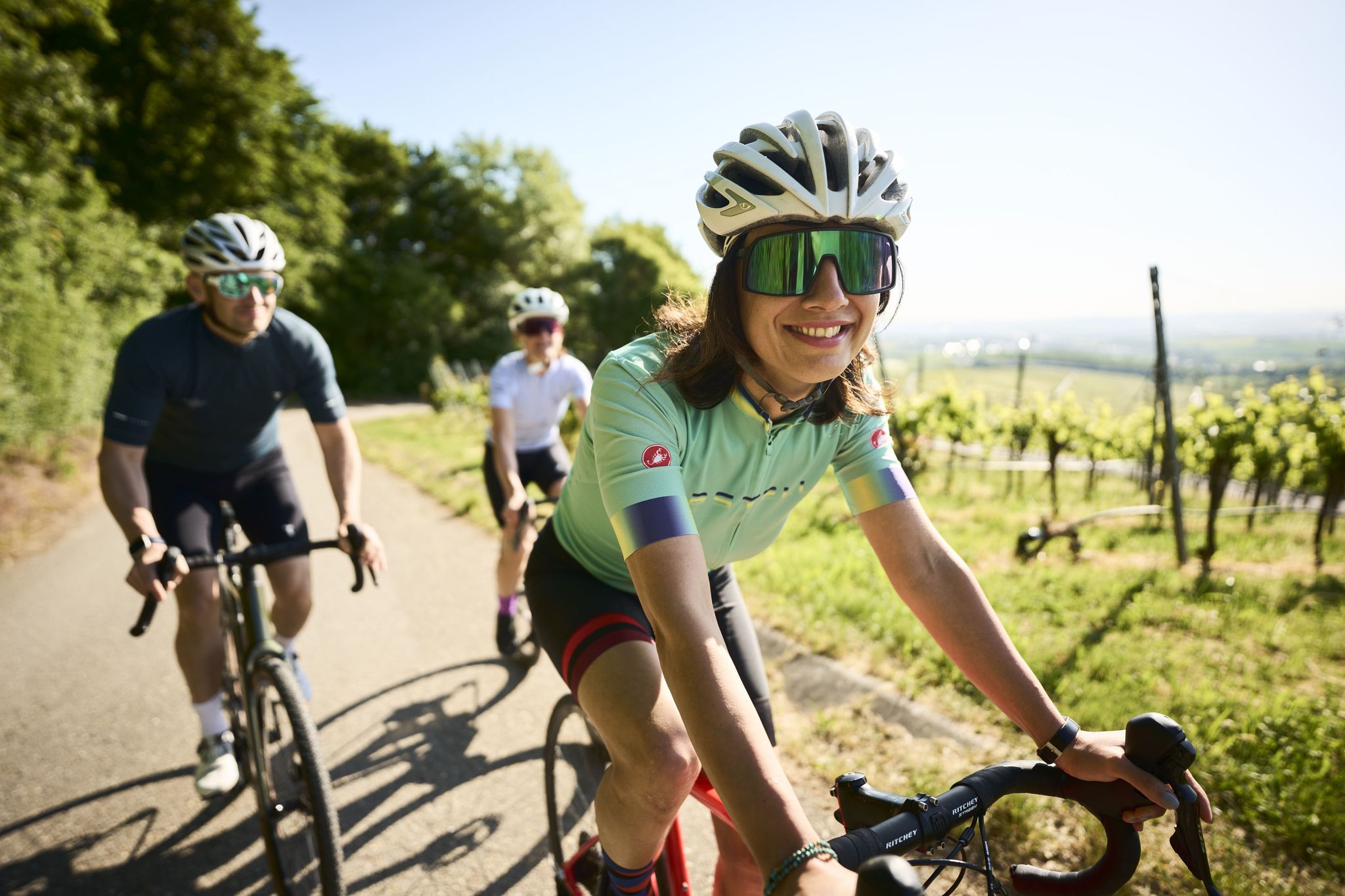
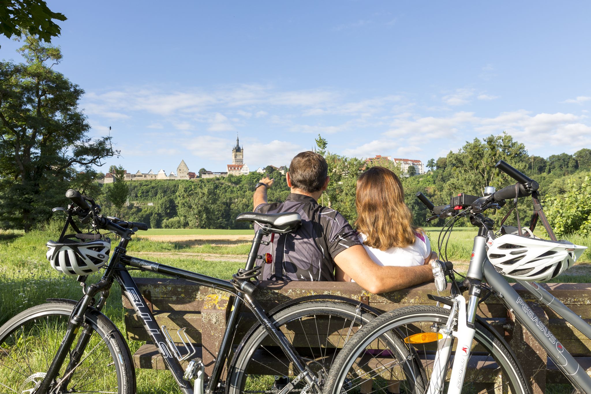
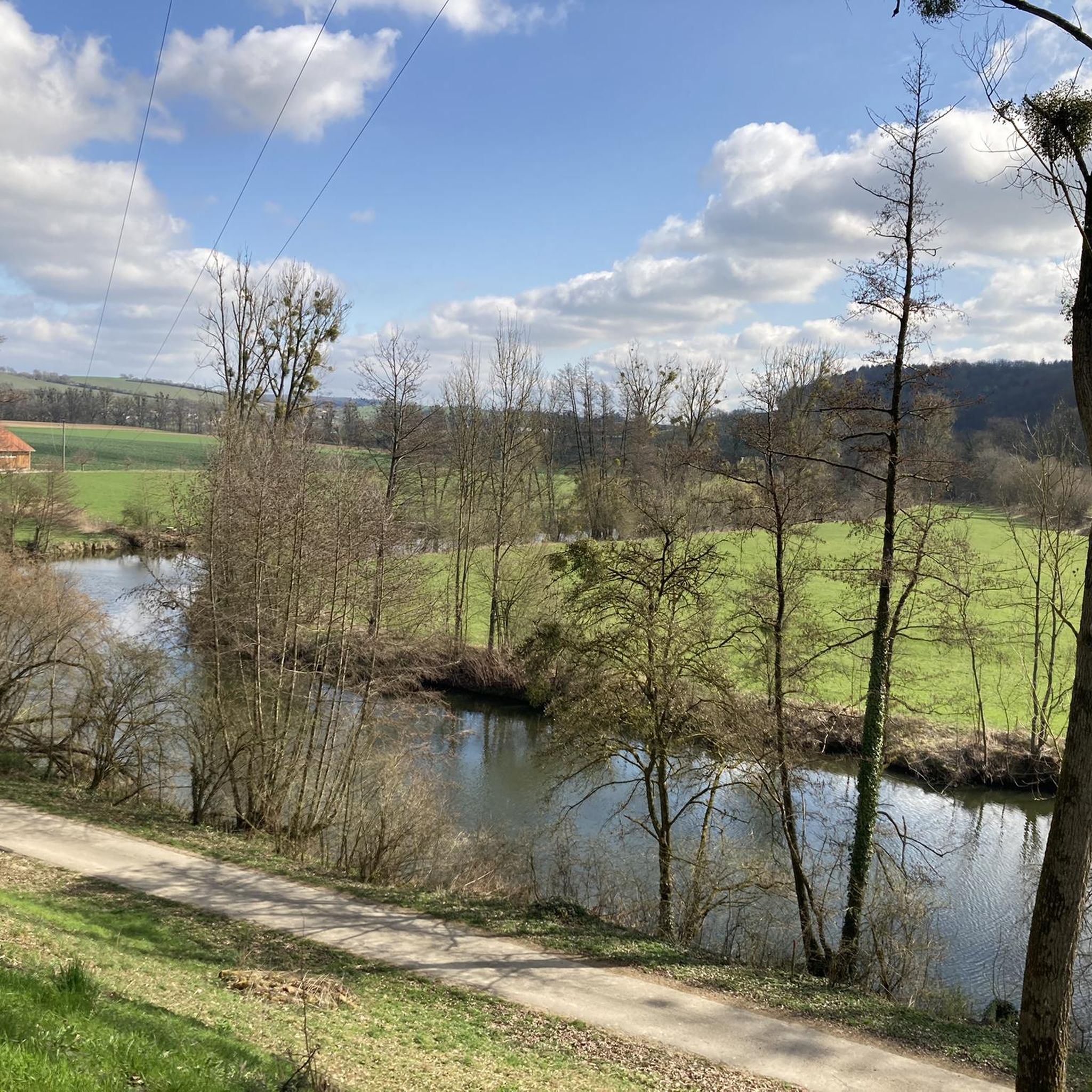
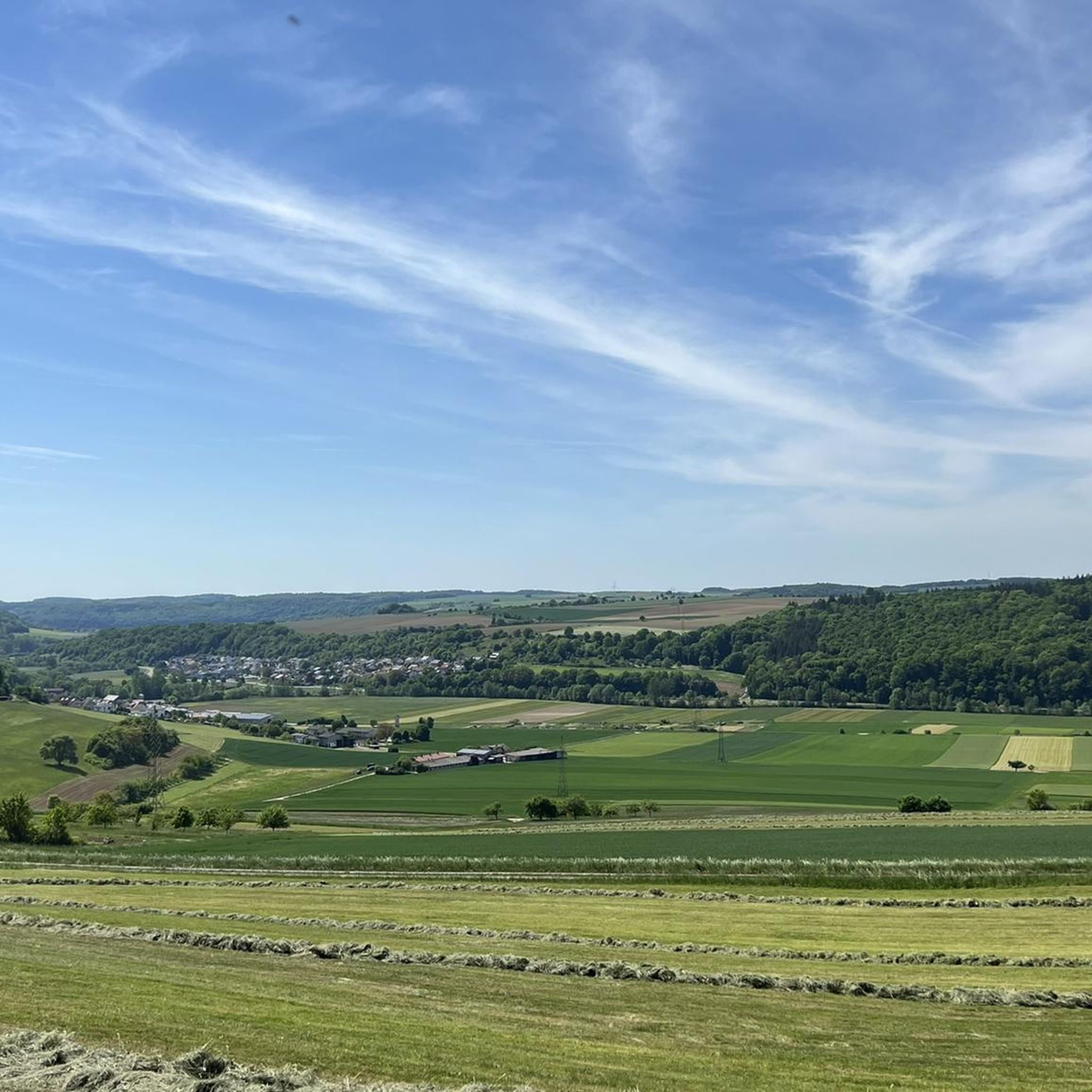


Tips from the Community

The path through the Pfarrklinge is apparently rarely used. The path is overgrown, mossy and somewhat difficult to walk on in places. Nothing that would stop you, but when it is wet, a walking stick is recommended for support, especially in places where the path has slipped.
3
0

Great, very narrow and sloping. You should be sure-footed.
5
0

Idyllic path, paved, quite steep but easy to walk.
1
0

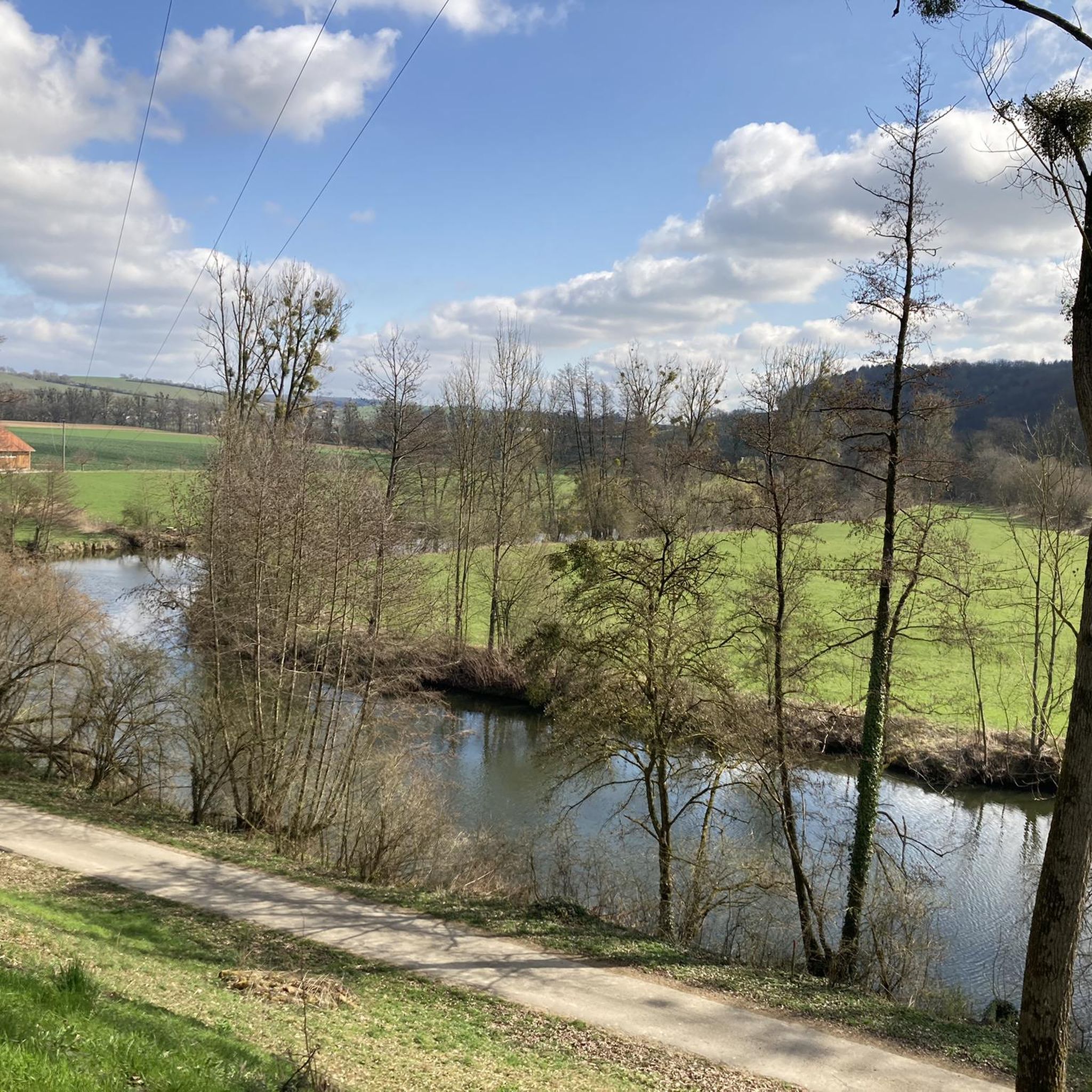
Secluded, little-used small road along the Hergstbach between Ruchsen and Korb. Uphill or downhill very moderate!
3
0

From Ruchsen to Korb through a beautiful valley
0
0

Impassable and rather drained. The steep Gaissteige is more suitable for hiking and runs right next to it.
1
0

The curved path leads through a beautiful landscape. At night (between 7 and 6 a.m.) it seems to be cordoned off by two barriers.
3
0

I've been great now and again and again, today even with deer sighting
2
0
Frequently Asked Questions
What kind of natural landscapes define the Schöntal region?
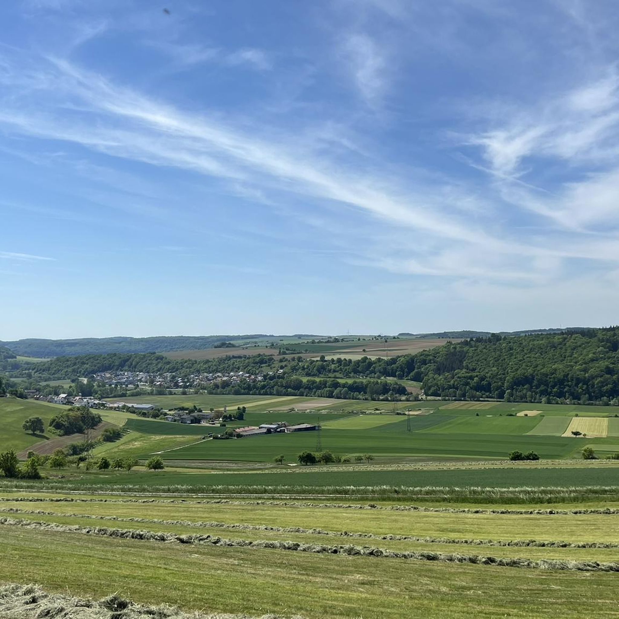
Schöntal is characterized by picturesque river valleys, dense forests, and rolling hills. The natural beauty is primarily shaped by the valleys carved by rivers such as the Jagst, Sindelbach, Kessach, and Erlenbach, offering tranquil environments for outdoor activities.
What are some popular valleys or gorges to explore in Schöntal?
You can explore several scenic areas. The Pfarrklinge Trail is a challenging, narrow gorge known for its original nature. The Hergstbach Valley offers a family-friendly cycle path with wonderful views. Another option is Gaisbachklinge, an idyllic, paved trail that is steep but easy to walk.
Are there family-friendly options for exploring the valleys in Schöntal?
Yes, the Hergstbach Valley is particularly family-friendly, featuring a cycle path parallel to a small brook, offering fresh air and gentle gradients. The Zimmerbach Valley and Deubach Gorge are also categorized as family-friendly.
What outdoor activities can I do near the valleys and gorges in Schöntal?
The region offers a variety of outdoor activities. You can find numerous well-marked hiking and cycling paths. For specific routes, explore options like those found in the Hiking around Schöntal guide or the MTB Trails around Schöntal guide.
Are there challenging trails for experienced hikers in Schöntal?
Yes, for those seeking a challenge, the Pfarrklinge Trail is described as a challenging, narrow, and sloping gorge that requires sure-footedness. The Gaissteige, near the Gaisbachklinge, is also noted as a steep option for hiking.
What do visitors enjoy most about the Hergstbach Valley?
Visitors appreciate the Hergstbach Valley for its perfect cycling conditions. It features a path parallel to a small brook, with hardly any traffic or steep gradients, offering plenty of fresh air and wonderful views through a beautiful, curved landscape.
Can I find quiet and idyllic spots in the valleys around Schöntal?
Absolutely. The Zimmerbach Valley is known for being very idyllic and quiet, especially within its forest sections. The general landscape of Schöntal, with its dense forests and river meadows, provides many serene backdrops for outdoor activities.
Are there any historical or cultural sites near the valleys in Schöntal?
While exploring the natural valleys, you can also visit Kloster Schöntal (Schöntal Monastery). This historic Cistercian monastery is situated in one of the beautiful valleys and is a significant cultural attraction, offering a magnificent example of sacred art and history dating back to 1157.
What is the best time to visit the valleys and gorges in Schöntal?
The valleys and gorges in Schöntal are appealing throughout much of the year. Spring and autumn offer pleasant temperatures and vibrant foliage, ideal for hiking and cycling. Summer is great for enjoying the fresh air, while winter hiking can also be an option, though some paths might be more challenging when wet or icy.
Are there cycling opportunities in the Schöntal valleys?
Yes, Schöntal boasts a variety of well-marked cycling paths. The Hergstbach Valley features a dedicated cycle way, and parts of the renowned Kocher-Jagst-Radweg also traverse the region, offering diverse routes for cyclists.
What should I know about the Pfarrklinge Trail?
The Pfarrklinge Trail is a great, very narrow, and sloping gorge. It offers original nature and is considered the only accessible 'blade' (a local term for a narrow, deep cut in the landscape) in the area around Möckmühl. Visitors recommend being sure-footed, and a walking stick is advised when wet due to overgrown and mossy sections.
Is the Gaisbachklinge suitable for all hikers?
The Gaisbachklinge features an idyllic, paved path that is described as quite steep but generally easy to walk. While accessible, those seeking a less steep option might consider other trails, or note that the Gaissteige nearby offers a more challenging ascent.
Most popular routes around Schöntal
Most popular attractions around Schöntal

Get inspired with the komoot mobile app


Explore more
Already discovered everything in this region? See additional gorges around Schöntal for your next adventure:
