Top 6 Gorges in the Trish Hills
Best canyons in the Trish Hills are characterized by diverse terrain and natural formations. The region features several gorges and trails that offer varied exploration opportunities. These canyons include intermediate routes and challenging trails, providing access to viewpoints and natural monuments. The landscape is shaped by geological activity, with some areas featuring notable landslides.
Best canyons in the Trish Hills
- The most popular canyons is Rocky Ridge Trailhead, a trail that climbs into Garrapata State Park. This trail meets…
Last updated: June 27, 2026
Rocky Ridge Trailhead
Highlight (Segment) • Trail
Tip by

Massive landslide ⛰️ Arroyo Seco-Indians 'Road' trail
Highlight • Natural Monument
Tip by
Sign up now to discover places like this
Get recommendations on the best single tracks, peaks, & plenty of other exciting outdoor places.
Sign up for free
Mill Creek Canyon
Highlight • Canyon
Tip by
Indian's Road landslide (open to bikes)
Highlight • Natural
Tip by
Horse Pasture Trail 🏞️ Cutoff Trail to Tassajara
Highlight • Trail
Tip by
Righetti Road views
Highlight (Segment) • Viewpoint
Tip by

Start today with a free account
Your next adventure awaits.
Login or Signup
Popular around Trish Hills

California Coastal Trail — Following the coastline from Mexico to Oregon

The tour of your life – music trails on the Pacific coast

On the most beautiful route of California - The Pacific Coast Route
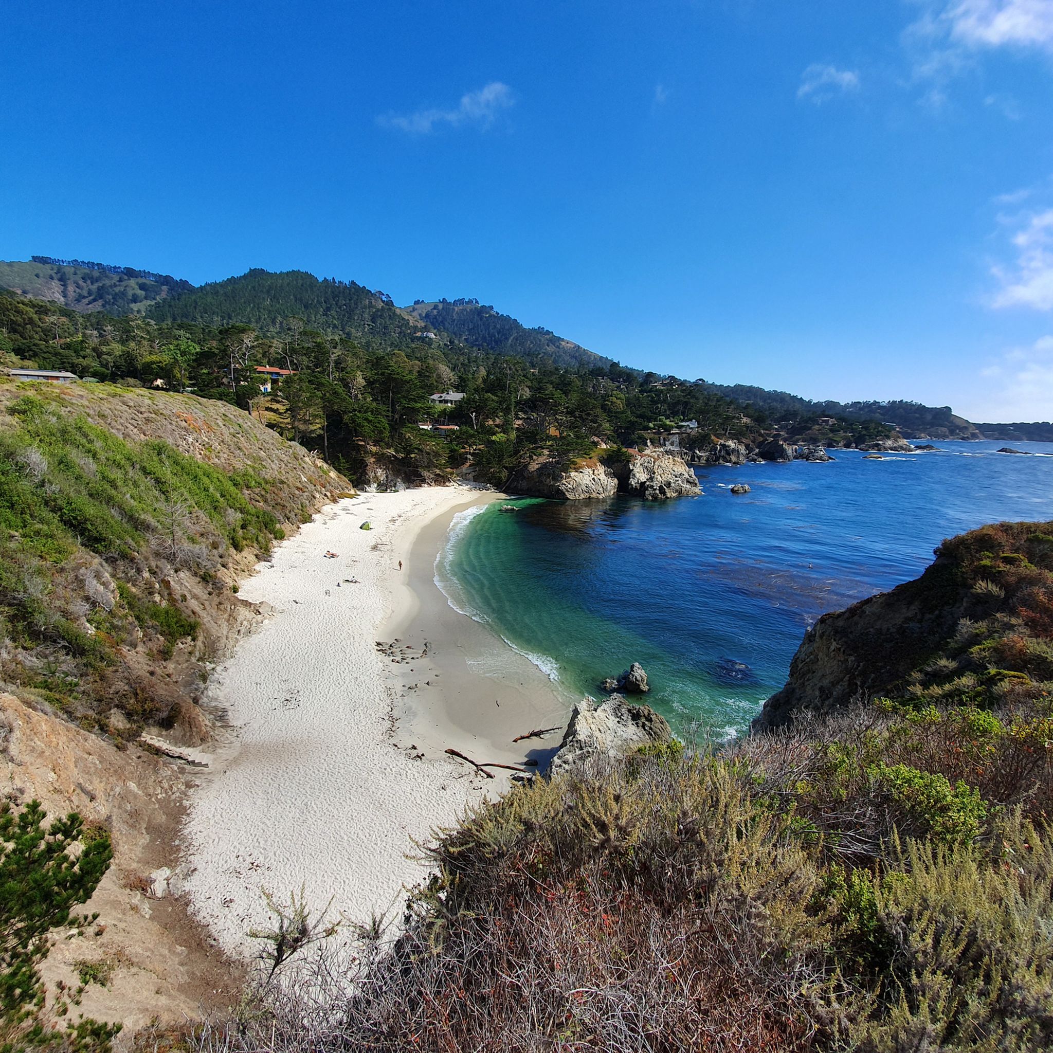
Hiking in the Trish Hills
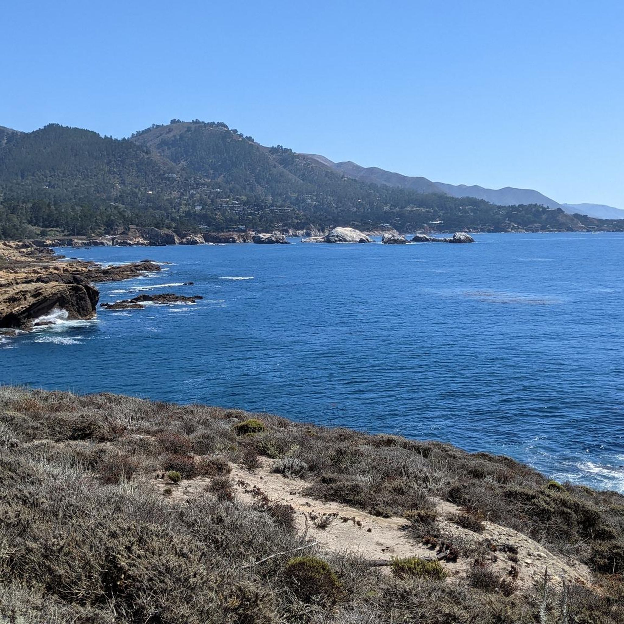
MTB Trails in the Trish Hills
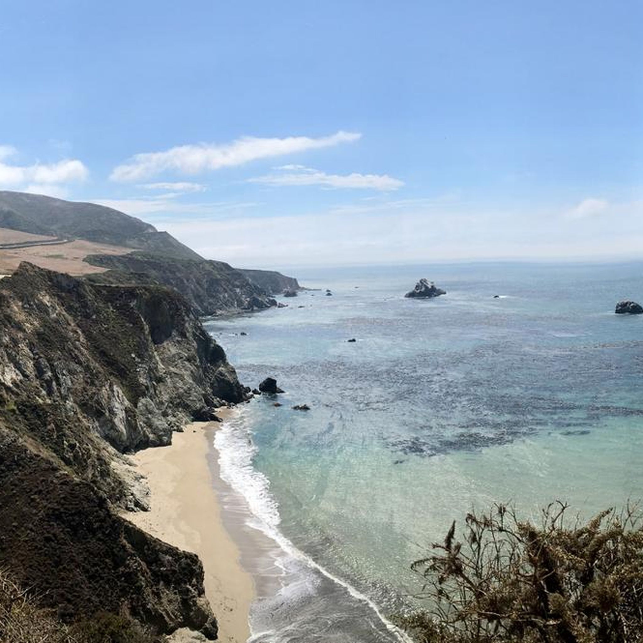
Road Cycling Routes in the Trish Hills
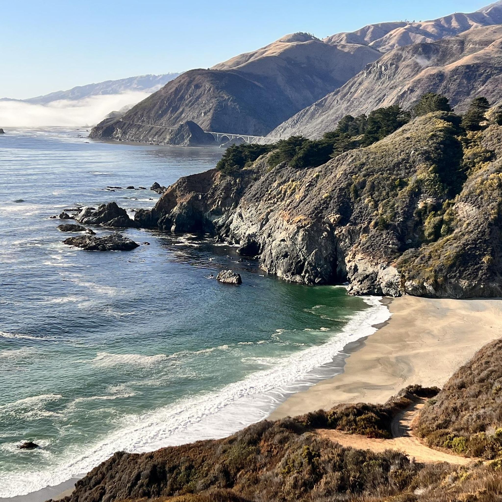
Cycling in the Trish Hills
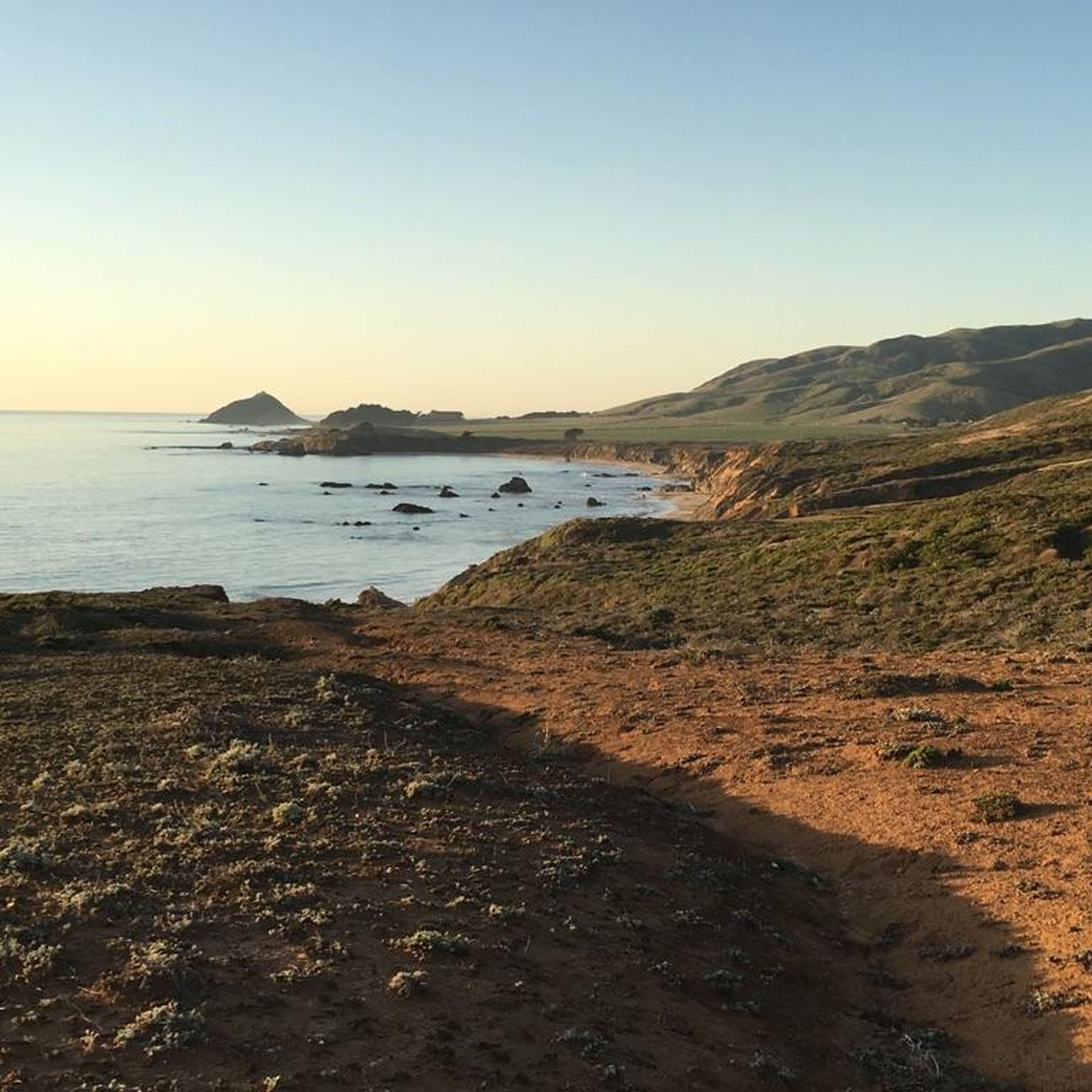
Running Trails in the Trish Hills
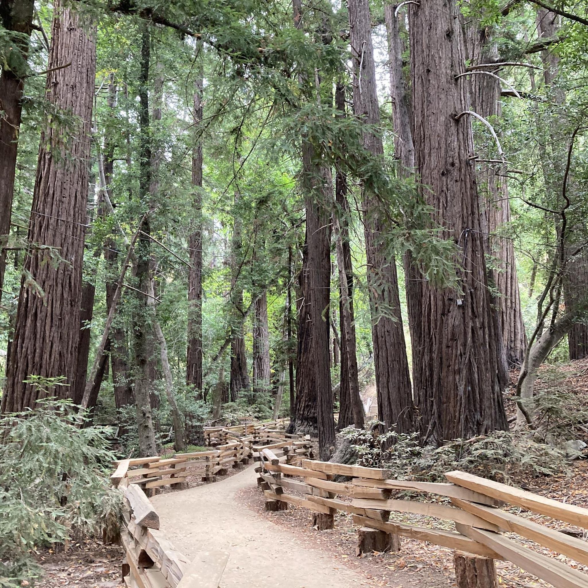
Gravel biking in the Trish Hills
Other adventures in the Trish Hills


Tips from the Community

The scenery is absolutely stunning. Unfortunately, it's not really suitable for swimming.
1
0

On this road you are greeted with scenic views of rolling hills adorned with lush vineyards. The undulating terrain of Edna Valley unfolds, offering a picturesque backdrop as you cycle along the road.
0
1

Indian's Road was closed in the 1980s due to repeated landslides and other road maintenance problems. This is the first of several landslides. Impassable for vehicles, but pedestrians and bikes can go by.
2
0
Rocky Ridge Trail climbs into Garrapata State Park uphill from here to the east, and on the west it meets with the main park trail along the cliffs.
1
0
There are several substantial landslides along this old gravel road, which led to closure finally some 20 years ago. Most can be crossed on foot or bicycle without too much effort. But this slide, one of the longest and profound hillside collapses on this route, is so long, deep, and on a steep sections, that bikers will have to walk and even hikers have to be careful.
1
0
This 2 mile cutoff trail drops back down into the Tassajara river gorge, reaching the river less than a mile before the hot springs Zen center. It is narrow and in parts tricky with land or gravel slides along a steep slope. Watch for rattlesnakes.
1
0
Nacimiento-Fergusson Rd drops 2000 feet down the steep Mill Creek canyon from Plaskett Ridge to Hwy 1 without any roadside safety barriers, offering dramatic views from its hundreds of switch-backs.
0
0
Frequently Asked Questions
What types of canyons can I explore in the Trish Hills?
The Trish Hills offer a variety of canyons, including those with intermediate and challenging trails. You can find gorges that lead to viewpoints and natural monuments. For example, Rocky Ridge Trailhead offers an intermediate trail climbing into Garrapata State Park, while Cutoff Trail, Tassajara-Horse Meadow presents a challenging route clinging to a canyon side.
Are there any canyons with dramatic views in the Trish Hills?
Yes, Mill Creek Canyon is known for its dramatic views. Nacimiento-Fergusson Road descends 2000 feet through this canyon, offering stunning vistas from its numerous switchbacks.
What are some challenging canyon trails in the Trish Hills?
For a challenging experience, consider the Indian's Road landslide (open to bikes). This section of Indian's Road, though closed to vehicles since the 1980s due to landslides, is passable for pedestrians and bikes. Another challenging option is the Massive landslide ⛰️ Arroyo Seco-Indians 'Road' trail, where hikers need to be careful due to the profound hillside collapses.
What natural features are prominent in the Trish Hills canyons?
The canyons in the Trish Hills are characterized by diverse terrain and natural formations, including significant geological activity and notable landslides. You'll find natural monuments and viewpoints throughout the gorges, such as those along Righetti Road views.
What do visitors enjoy most about the canyons in the Trish Hills?
Visitors appreciate the diverse terrain and natural formations. The trails offer varied exploration opportunities, from intermediate to challenging routes, providing access to stunning viewpoints and natural monuments. The scenery, particularly along trails like Rocky Ridge Trailhead, is often described as absolutely stunning.
Are there hiking opportunities near the Trish Hills canyons?
Yes, there are numerous hiking opportunities nearby. You can find various trails, from easy to difficult, such as the Point Lobos loop from Whaler's Cove or the challenging Sykes Hot Springs via Pine Ridge Trail. For more details, explore the Hiking in the Trish Hills guide.
Can I go cycling near the canyons in the Trish Hills?
Absolutely. The region offers a range of cycling routes. Road cyclists can enjoy routes like the Pacific Coast Bike Route: Morro Bay Loop, while touring cyclists might prefer the Monastery Beach – Bixby Creek Bridge loop. You can find more options in the Road Cycling Routes in the Trish Hills and Cycling in the Trish Hills guides.
Are there any family-friendly canyon areas or viewpoints in the Trish Hills?
While many canyon trails can be challenging, some viewpoints offer more accessible experiences. For instance, Righetti Road views is categorized as family-friendly and offers scenic vistas of the gorges and ridges.
What should I know about landslides when visiting Trish Hills canyons?
The landscape of the Trish Hills is shaped by geological activity, and some areas feature notable landslides. Trails like Indian's Road landslide (open to bikes) and Massive landslide ⛰️ Arroyo Seco-Indians 'Road' trail are directly impacted by these. While some are passable for pedestrians and bikes, caution is advised, especially on steep sections.
How popular are the canyons in the Trish Hills with the komoot community?
The canyons in the Trish Hills are well-regarded by the komoot community, having received 10 upvotes and 40 photos contributed by visitors. This indicates a positive and engaging experience for those who explore the region.
Are there any specific tips for hiking the Cutoff Trail, Tassajara-Horse Meadow?
The Cutoff Trail, Tassajara-Horse Meadow is a narrow, steep trail connecting river pools to the Horse Pasture Trail. Be aware that one section is prone to landslides, and snakes are known to inhabit the exposed rocks between overgrown areas. It allows for a 4-mile hiking loop with other trails.
Most popular routes in the Trish Hills
Most popular attractions in the Trish Hills

Get inspired with the komoot mobile app


